
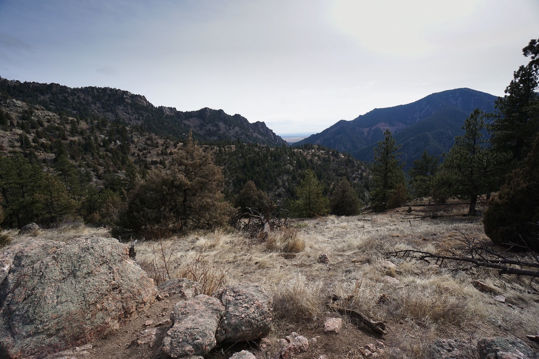
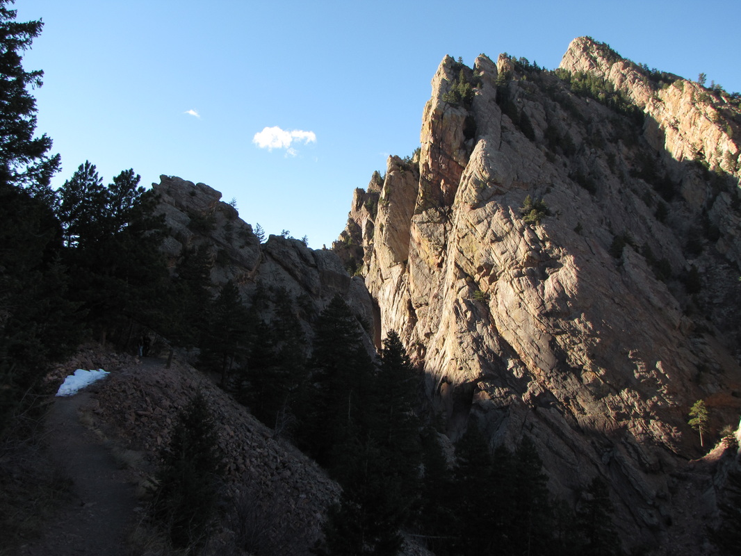
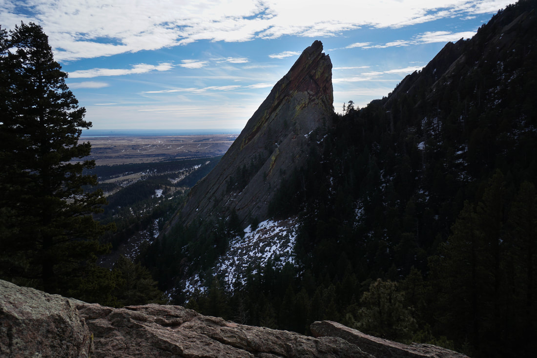
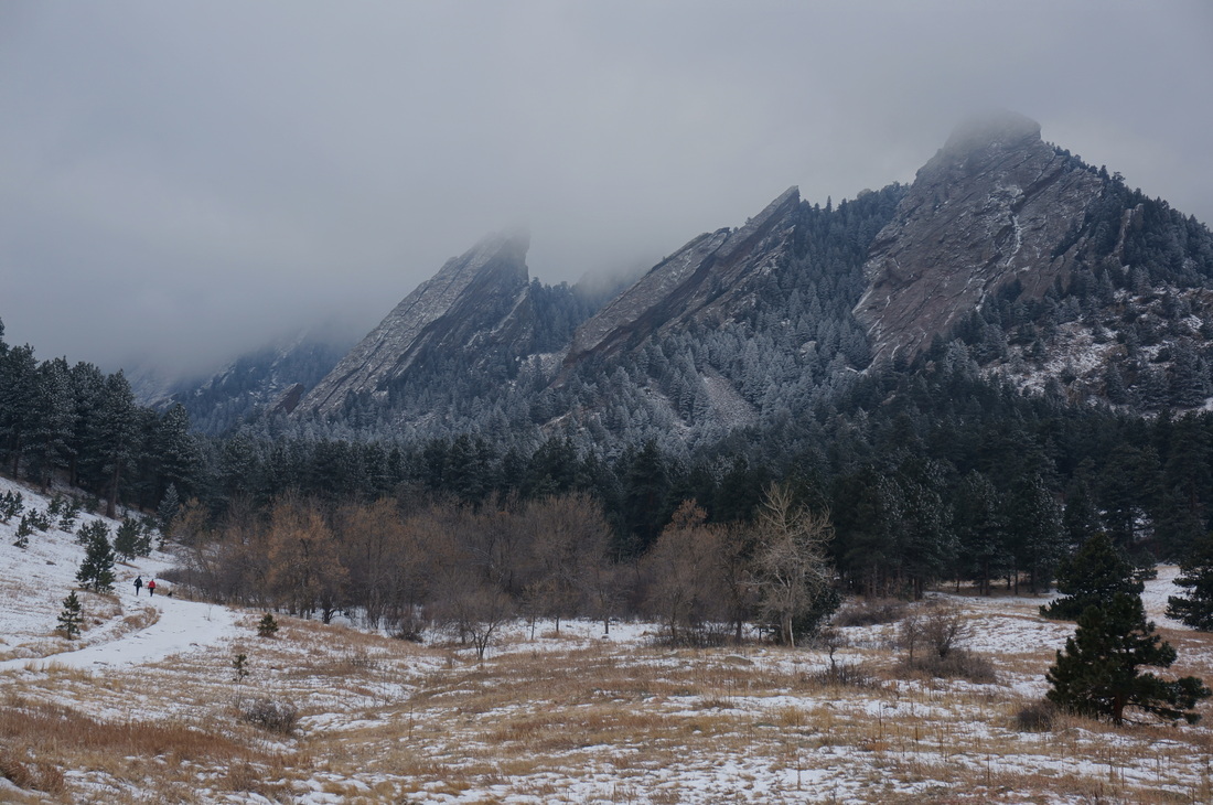
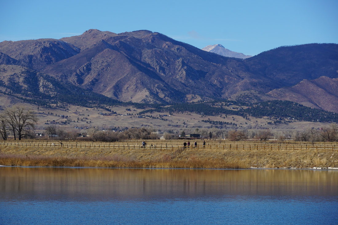
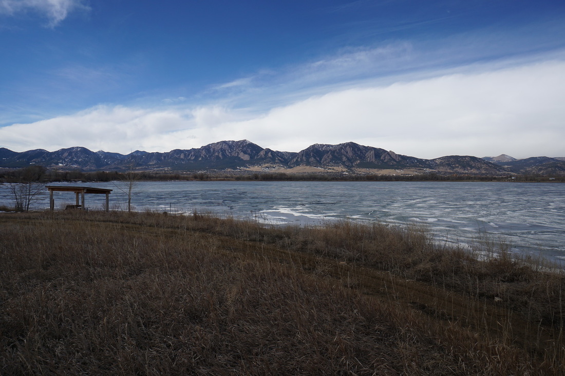
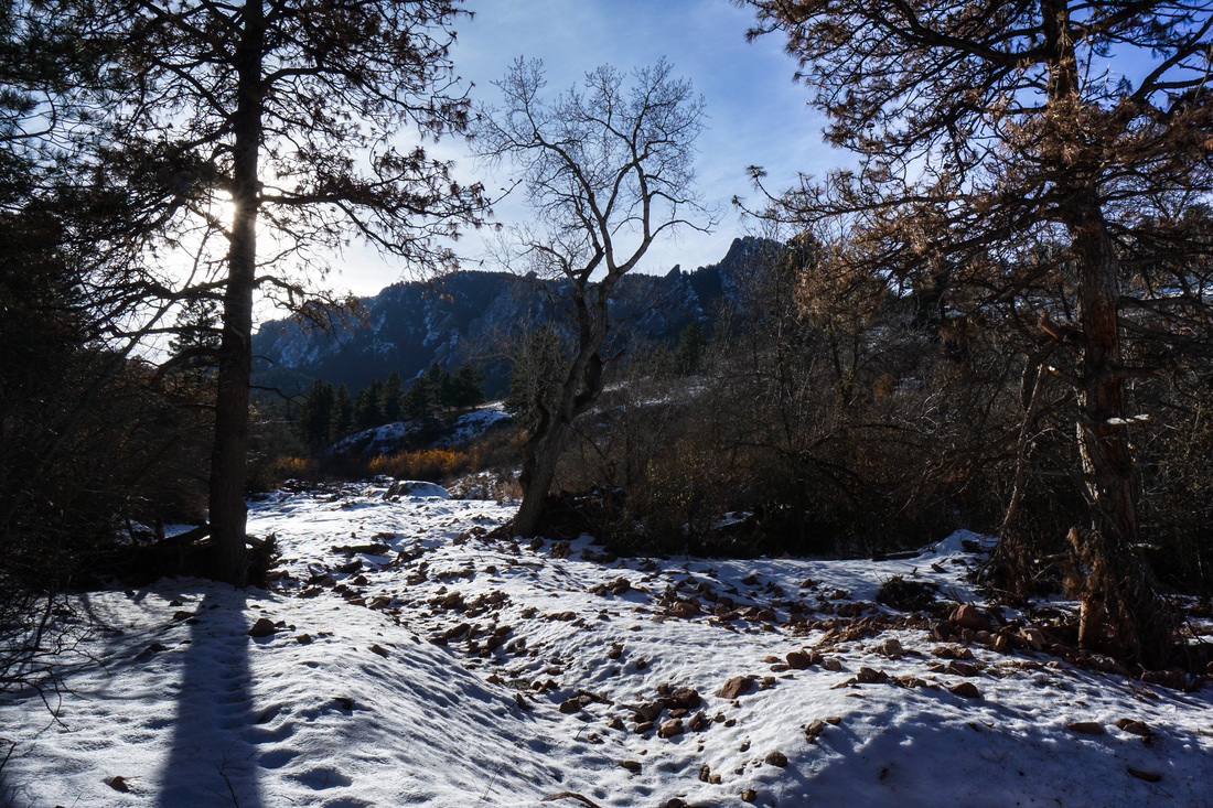
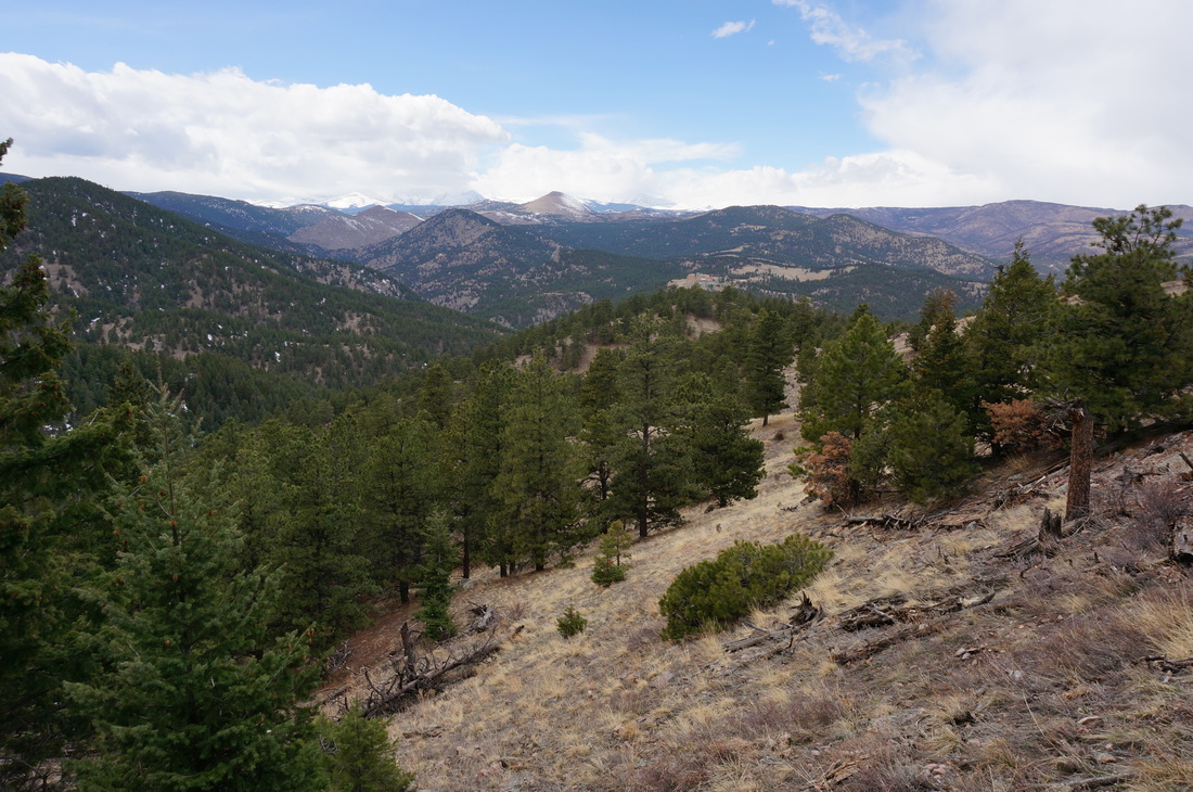
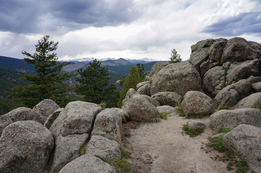
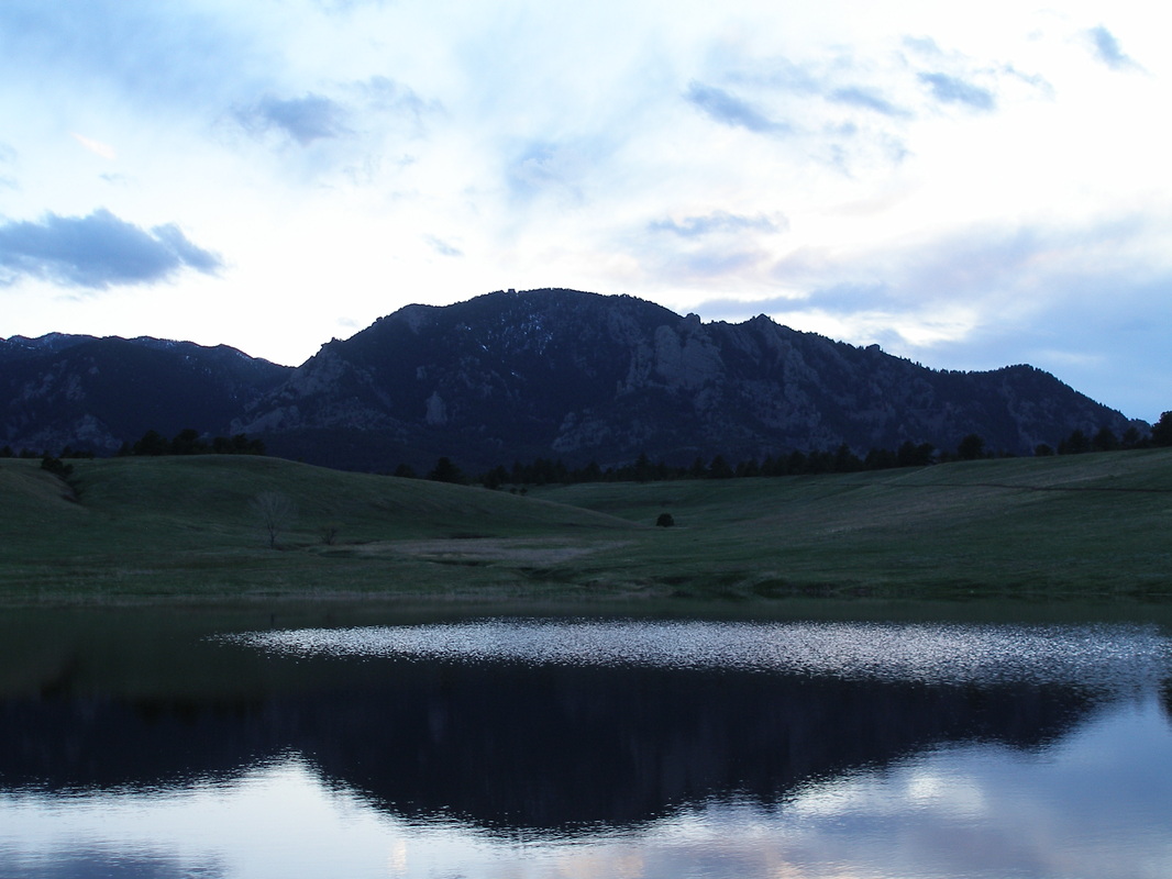
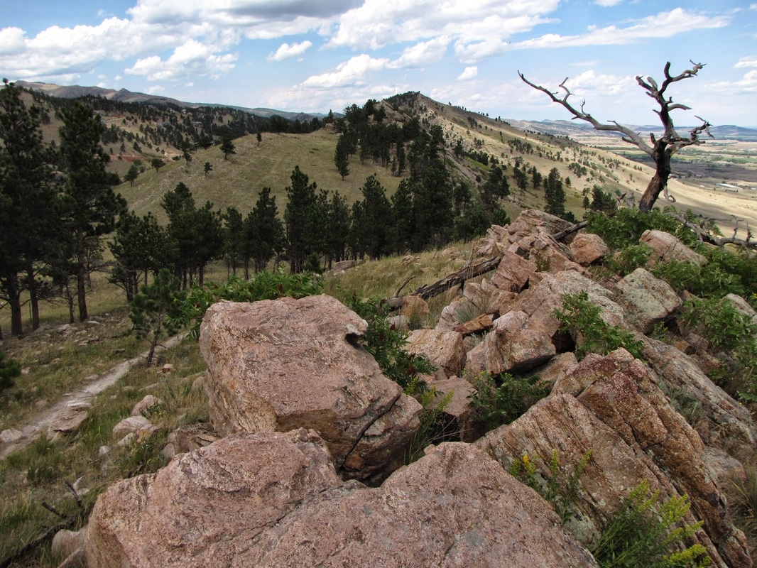
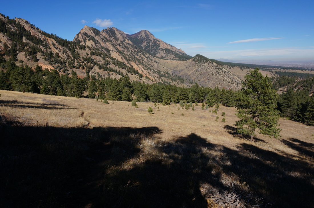
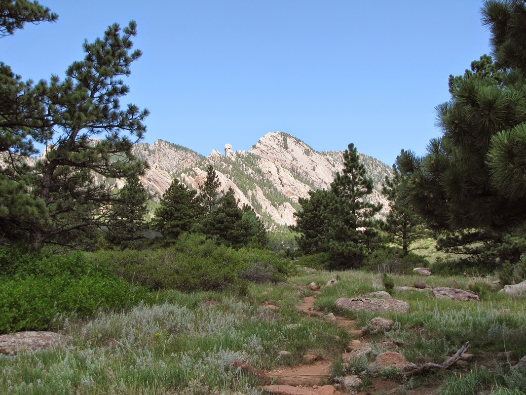
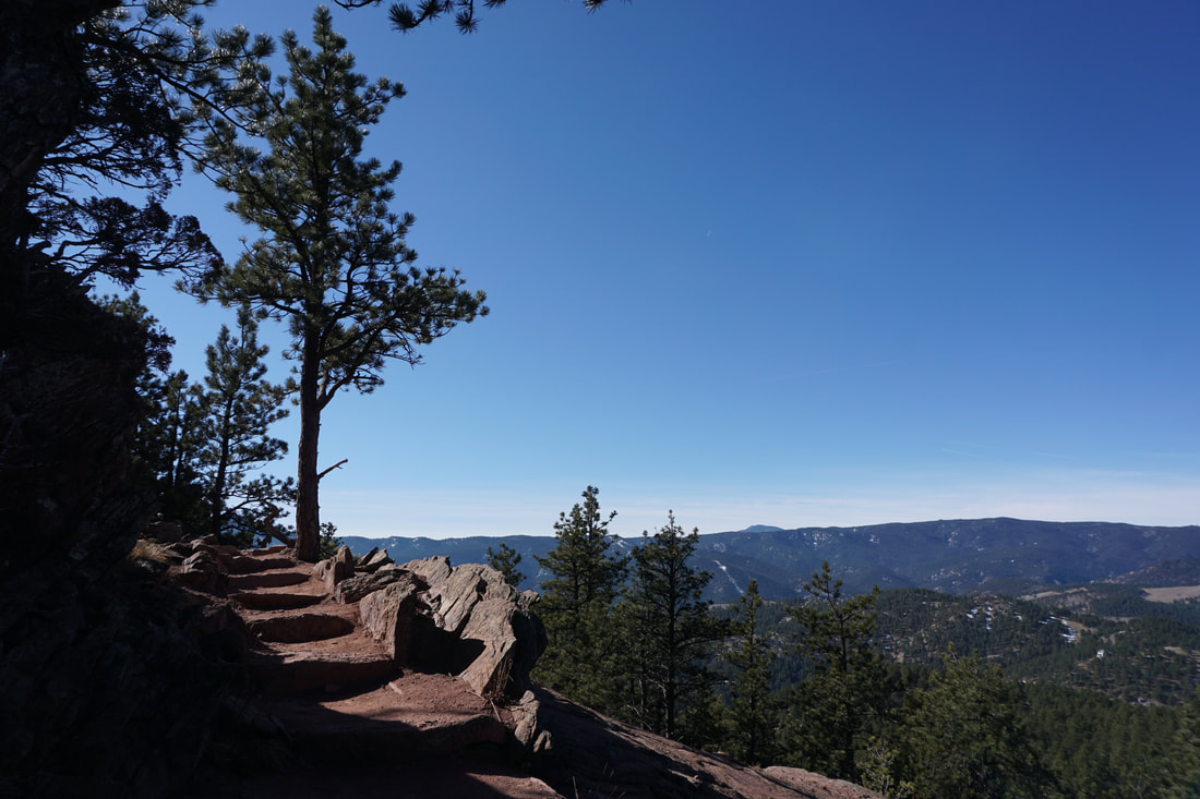
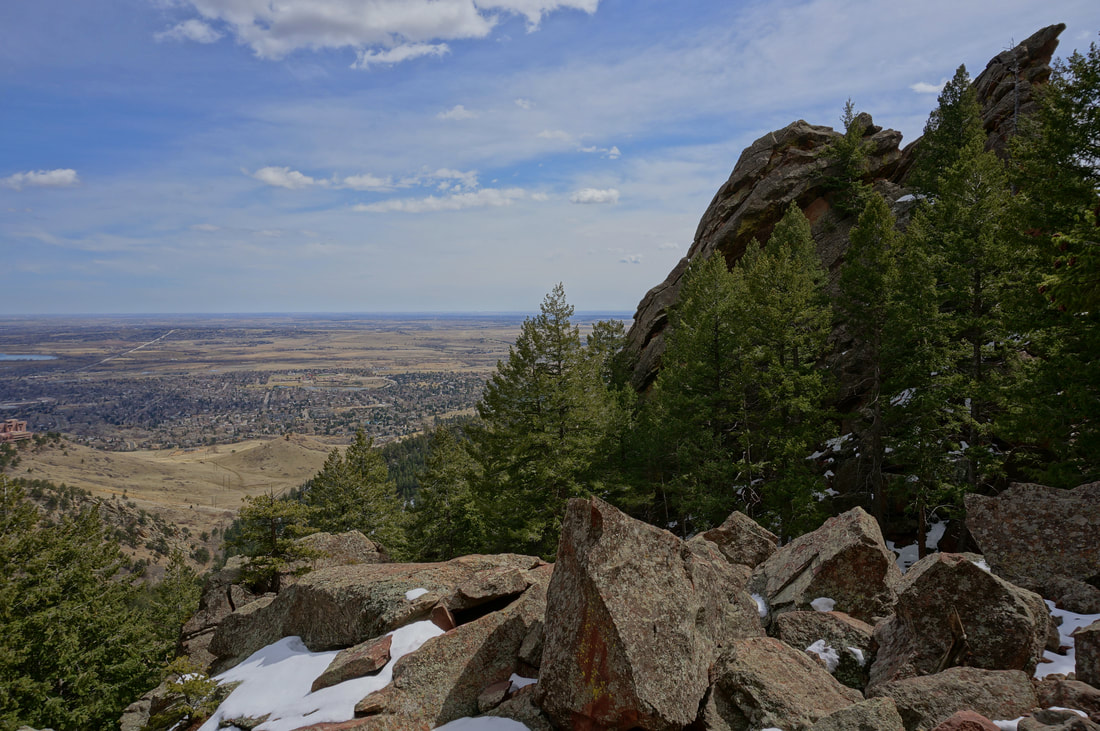
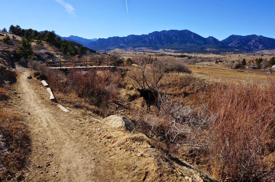
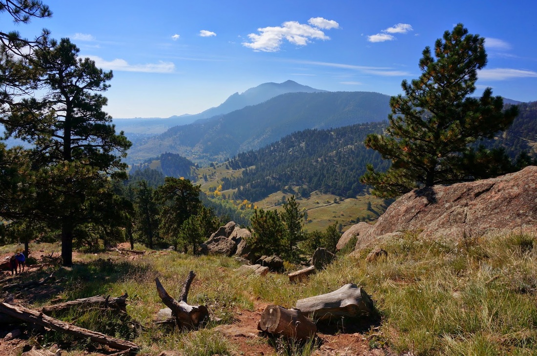
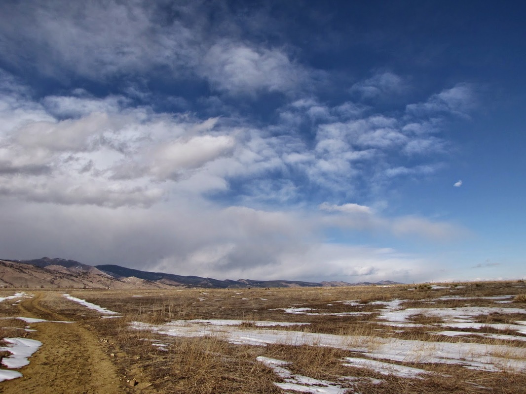
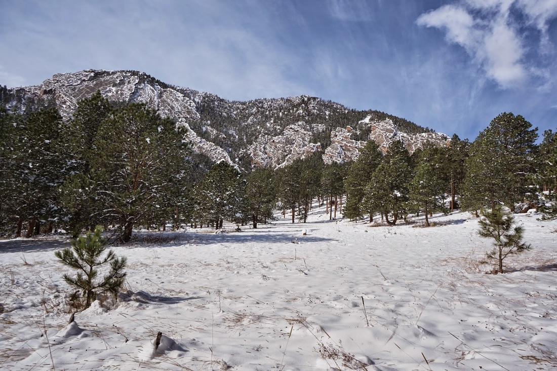
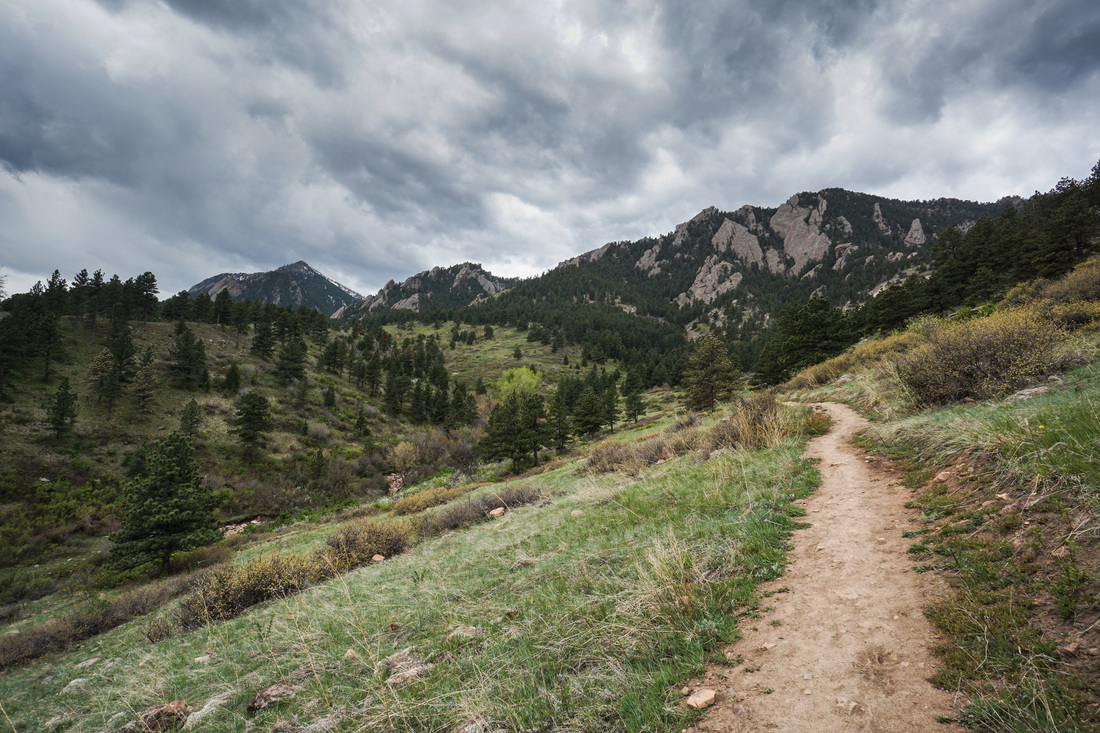
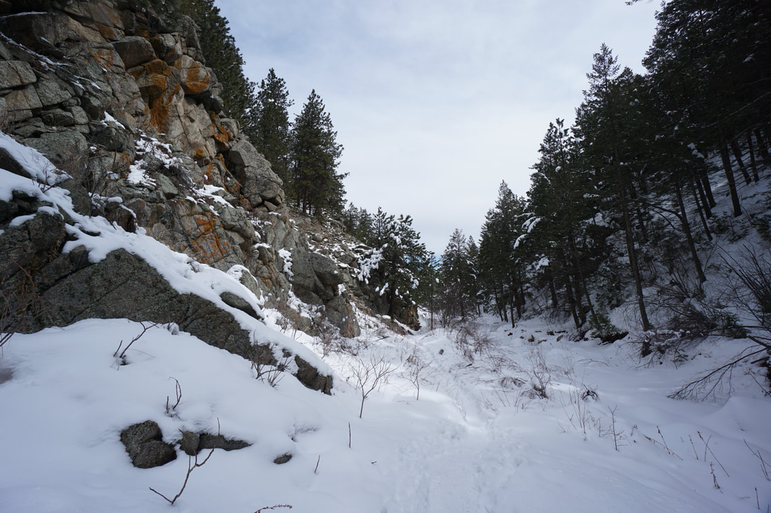
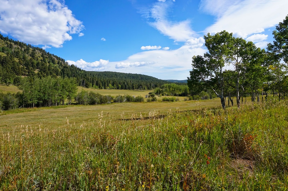
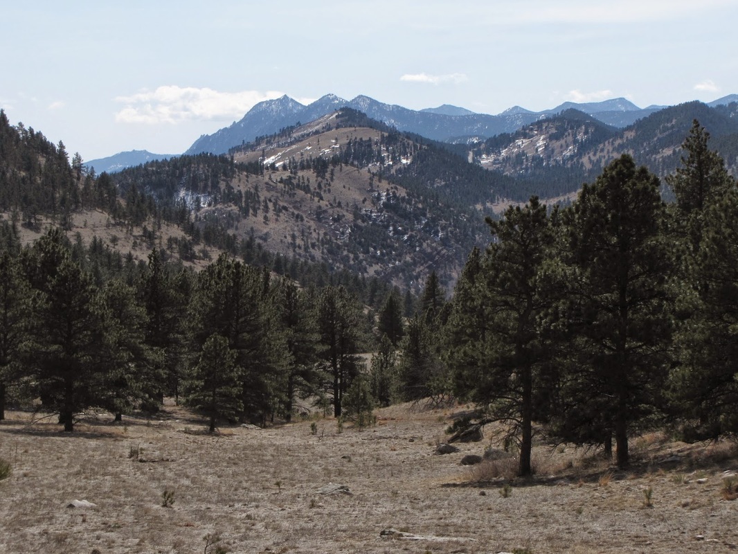
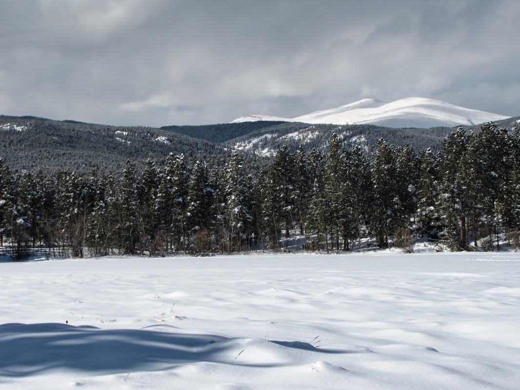
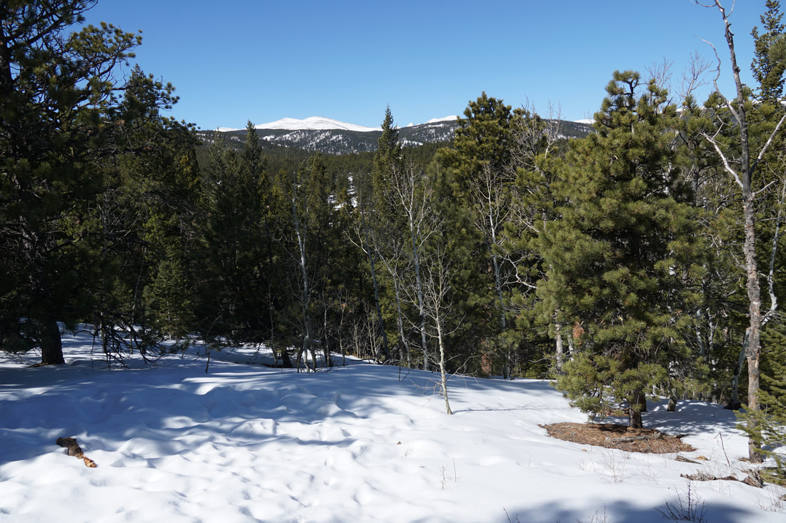
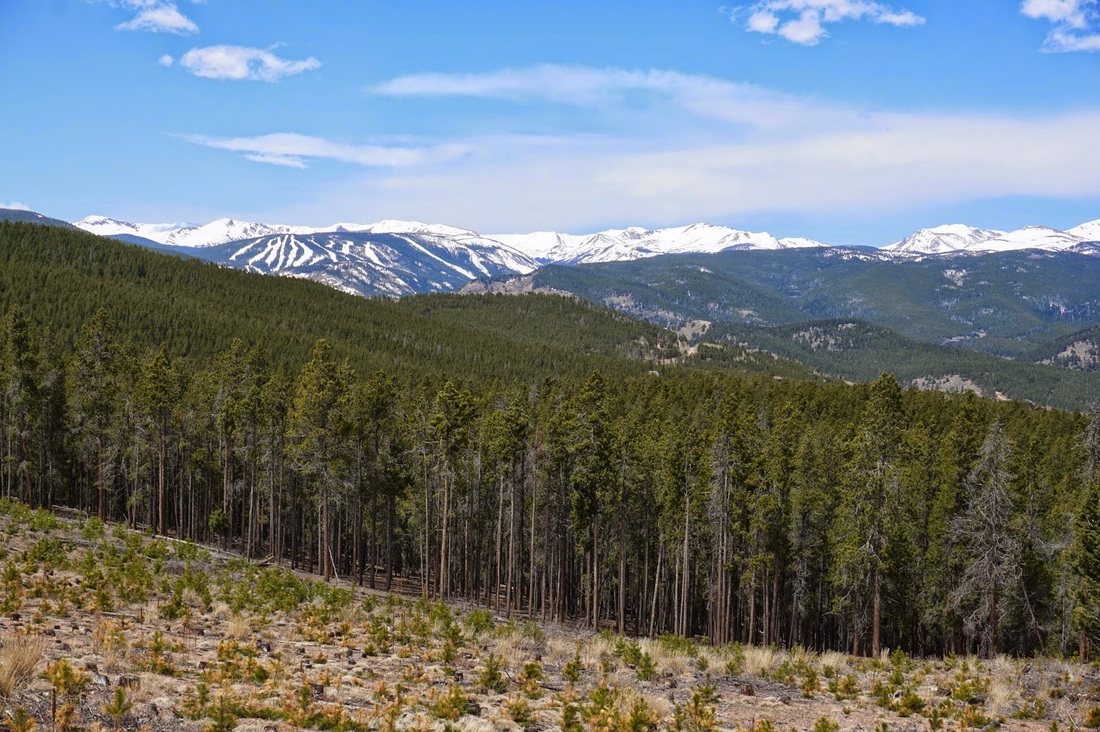
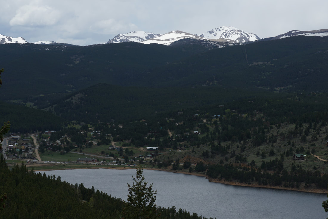
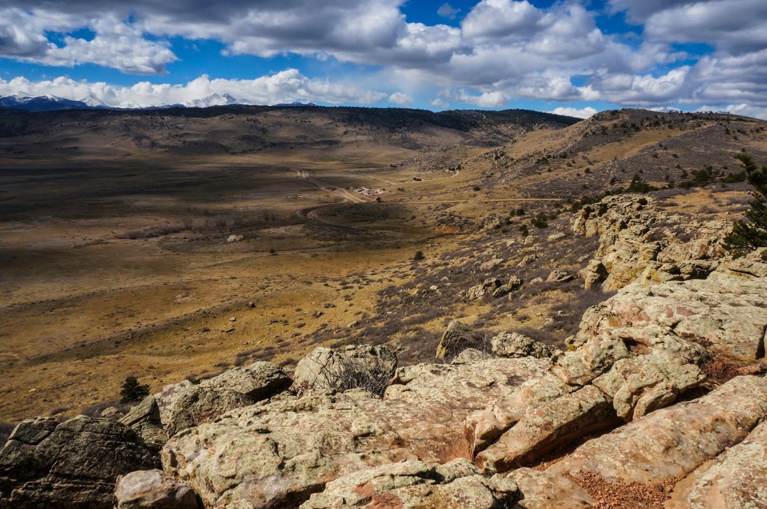
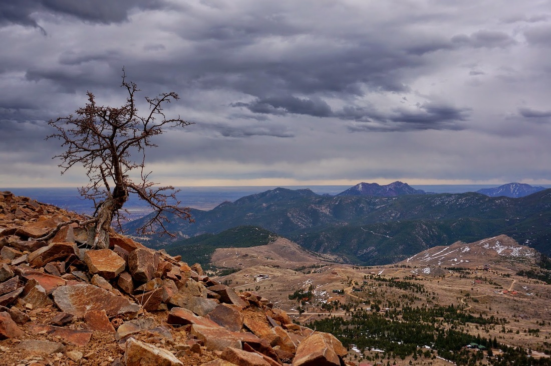
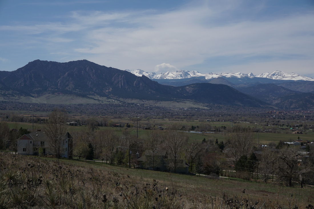
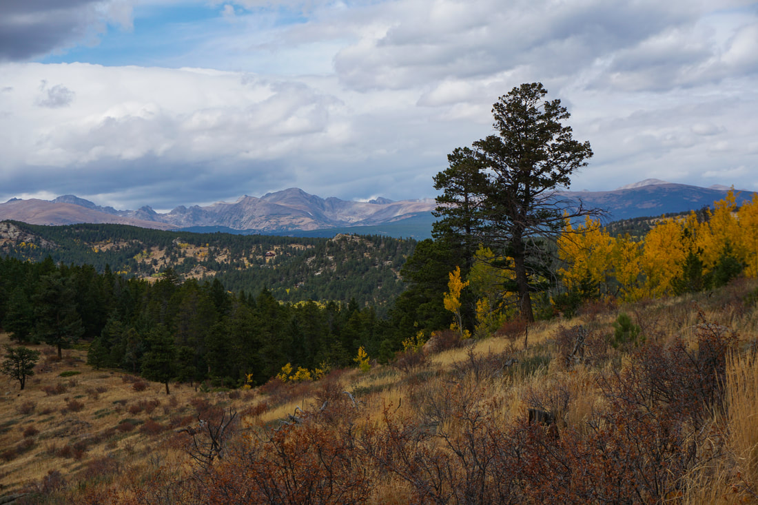
The foothills of Boulder are simply magnificent. The City of Boulder manages some of the best hiking in the front range, such as hikes among the iconic Flatirons and up to the three Boulder peaks; Green Mountain, Bear Peak, and South Boulder Peak.
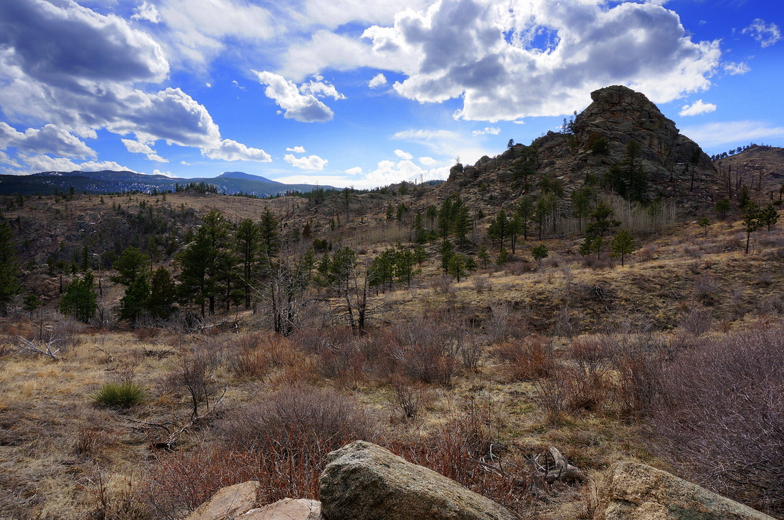
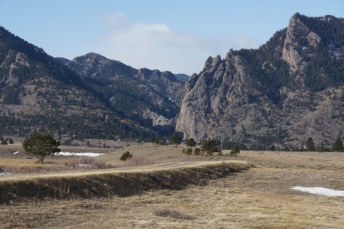
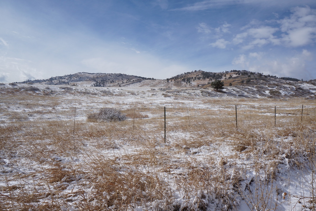
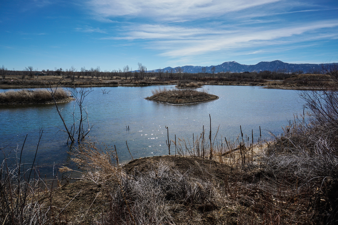
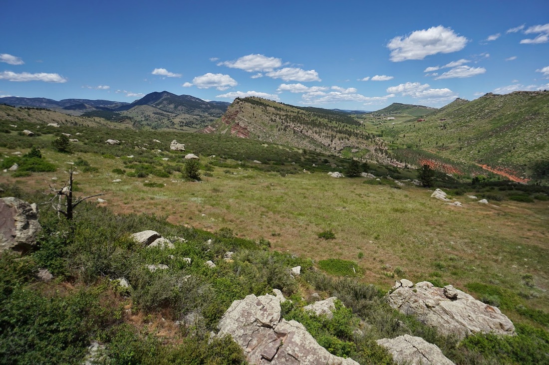
Additionally, Boulder County Open Space contains wonderful examples of wilderness with close proximity to the city.
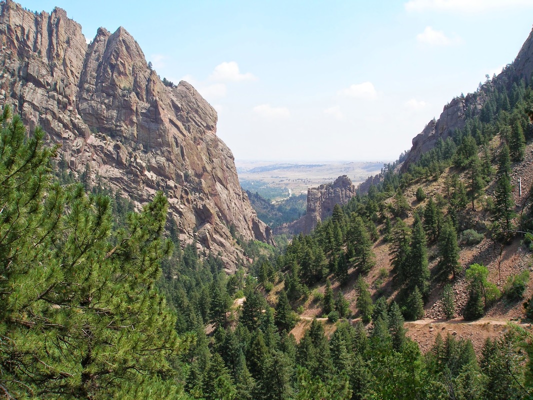
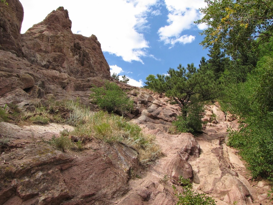
Finally, Boulder County hosts one of Colorado's finest State Parks, Eldorado Canyon State Park.
Boulder County was hit extremely hard by the 2013 floods so make sure you check with the agency website before heading out.
Additionally, Boulder County Open Space contains wonderful examples of wilderness with close proximity to the city.
Finally, Boulder County hosts one of Colorado's finest State Parks, Eldorado Canyon State Park.
Boulder County was hit extremely hard by the 2013 floods so make sure you check with the agency website before heading out.
|
|
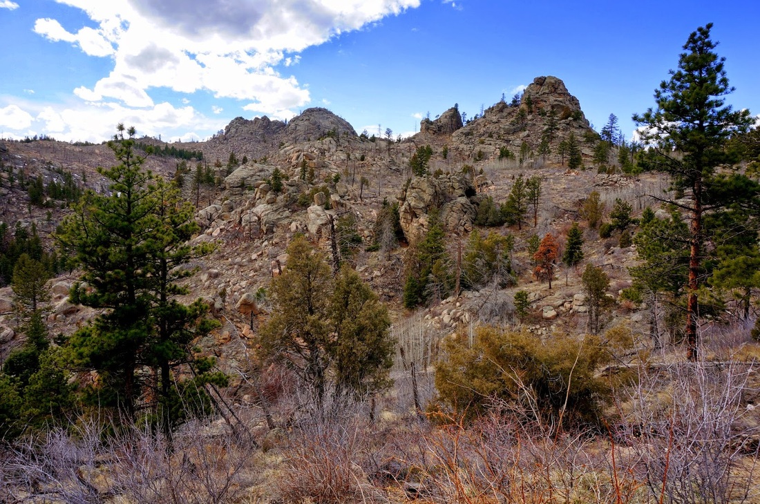
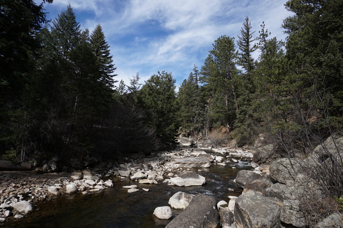
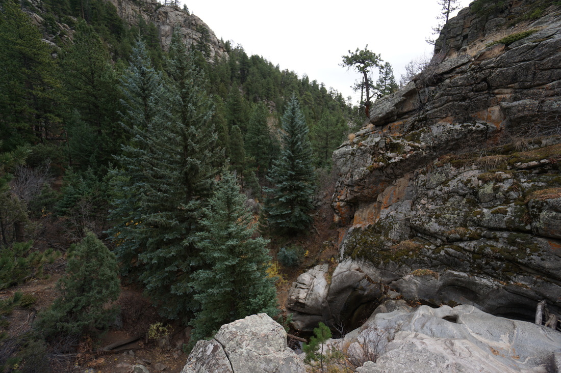
Eldorado Canyon State Park |
|
Eldorado Canyon Trail
5 mi (RT); 1,325 ft elevation gain |
Rattlesnake Gulch Trail
(Currently Closed) 2.4 mi (RT); 1,033 ft elevation gain |
Walker Ranch > Eldorado Canyon Loop
7.8 mi (RT); 1,876 ft elevation gain |
Fowler Trail
via Eldorado Mountain Trailhead 2.6 mi (RT); 400 ft elevation gain |
|
|
City of Boulder Open Space & Mountain Parks |
|
1st & 2nd Flatirons Trail
2.7 mi (RT); 1,600 ft elevation gain |
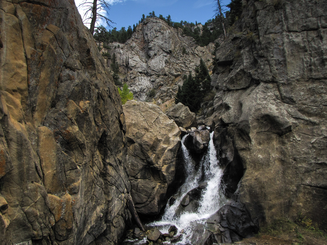
Boulder Falls (Currently Closed)
.25 mi (RT); minimal elevation gain |
Boulder Reservoir Park
1.3 mi (RT); 200 ft elevation gain |
Boulder Valley Ranch
Sage>Eagle>Cobalt Loop 4.4 mi (RT); 400 ft elevation gain |
Chautauqua > Bluebell Mesa Loop
1.5 mi (RT); 500 ft elevation gain |
Community Ditch Trail
4.5 mi (RT); 200 ft elevation gain |
Coot Lake
1.3 mi (RT); 100 ft elevation gain |
Dry Creek Trail
1.8 mi (RT); 111 ft elevation gain |
Enchanted Mesa & Woods Quarry
2.9 mi (RT); 671 ft elevation gain |
Flagstaff Mountain
Tenderfoot Trail 2.7 mi (RT); 500 ft elevation gain |
Flagstaff Mountain
Ute > Boy Scout Loop 2.2 mi (RT); 593 ft elevation gain |
Flatirons Vista Trail
3.5 mi (RT); 300 ft elevation gain |
Foothills Trail to Hogback Loop
3 mi (RT); 900 ft elevation gain |
Goshawk Ridge
4.1 mi (RT); 775 ft elevation gain |
Greenbelt Plateau
2.5 mi (RT); 200 ft elevation gain |
Green Mountain
via Realization Point 3.7 mi (RT); 1,500 ft elevation gain |
Homestead > Mesa > Towhee Loop
2.5 mi (RT); 600 ft elevation gain |
Joder Ranch
4 mi (RT); 900 ft elevation gain |
Lion's Lair Trail to
Mount Sanitas 5.2 mi (RT); 900 ft elevation gain |
Mallory Cave
3.2 mi (RT); 800 ft elevation gain |
Marshall Mesa
3.4 mi (RT); 250 ft elevation gain |
Mount Sanitas
3 mi (RT); 1,300 ft elevation gain |
North Teller Lake
1 mi (RT); minimal elevation gain |
Old Kiln Trail
2 mi (RT); 419 ft elevation gain |
Papini Natural Area
2.2 mi (RT); 200 ft elevation gain |
Red Rocks Trail
1.5 mi (RT); 250 ft elevation gain |
Sawhill Ponds
2.7 mi (RT); 300 ft elevation gain |
Shanahan Ridge
4 mi (RT); 923 ft elevation gain |
Skunk Canyon >
Kohler Mesa Loop 3 mi (RT); 615 ft elevation gain |
South Boulder Creek Trail
3 mi (RT); 200 ft elevation gain |
South Boulder Creek Trail - East
2.6 mi (RT); 210 ft elevation gain |
South Boulder Peak
via Shadow Canyon 7.8 mi (RT); 3,096 ft elevation gain |
|
|
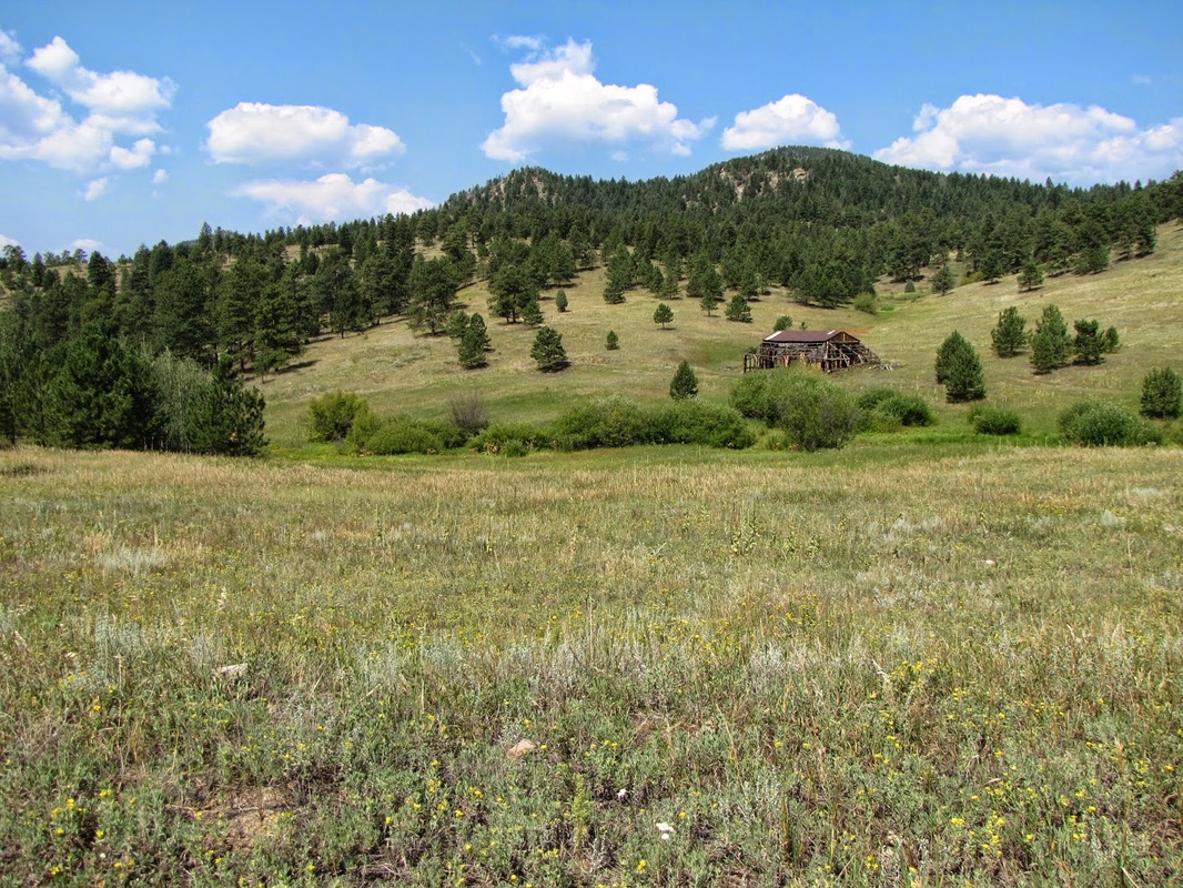
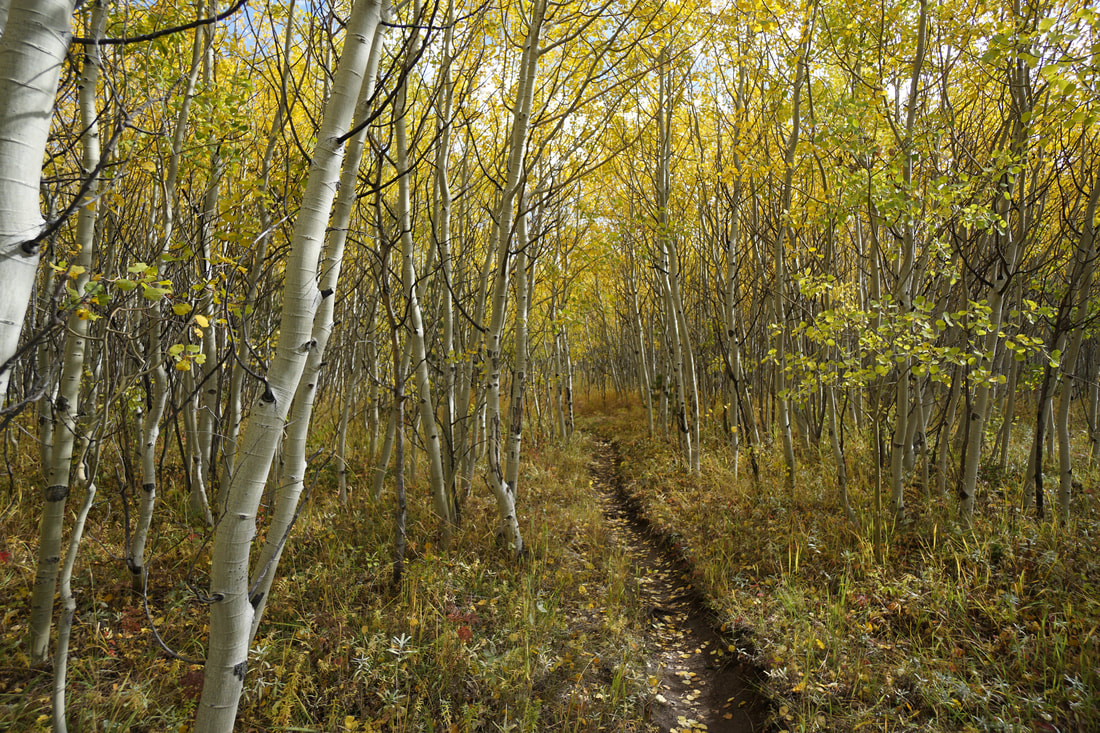
Boulder County Open Space |
|
Anne U. White Trail
3.4 mi (RT); 550 ft elevation gain |
Bald Mountain Scenic Area
Pines to Peak Loop 1.4 mi (RT); 250 ft elevation gain |
Betasso Preserve
Canyon & Benjamin Loops 7.5 mi (RT); 1,208 ft elevation gain |
Betasso Preserve
Bummer's Rock 1/2 mile (RT); 200 ft elevation gain |
Caribou Ranch Open Space
Blue Bird & DeLonde Loops 4.8 mi (RT); 450 ft elevation gain |
Carolyn Holmberg Preserve at Rock Park
Stearns Lake to Josh's Pond 3 mi (RT); minimal elevation gain |
Heil Valley Ranch
Lichen Loop 1.6 mi (RT); 200 ft elevation loop |
Legion Park
.75 mi (RT); 112 ft elevation gain |
Mud Lake Open Space
Tungsten Loop .8 mi (RT); minimal elevation gain |
Mud Lake Open Space
Kinnickinnick Loop 1.4 mi (RT); 220 ft elevation gain |
Reynolds Ranch/FS Trail 606
Roosevelt National Forest 1.5 mi (RT); 252 ft elevation gain |
Reynolds Ranch Trail
Reynolds Ranch 1.8 mi (RT); 150 ft elevation gain |
Ron Stewart Preserve at Rabbit Mountain
Eagle Wind Trail 4 mi (RT); 513 ft elevation gain |
Ron Stewart Preserve at Rabbit Mountain
Little Thompson Overlook Trail 3 mi (RT); 542 ft elevation gain |
Sugarloaf Mountain
1.4 mi (RT); 500 ft elevation gain |
Twin Lakes Open Space
1.2 mi (RT); minimal elevation gain |
Walker Ranch
Walker Ranch/Eldorado Canyon 7.8 mi (RT); 1,876 ft elevation gain |
Walker Ranch
Meyer's Homestead Trail 5.7 mi (RT); 750 ft elevation gain |
|
|
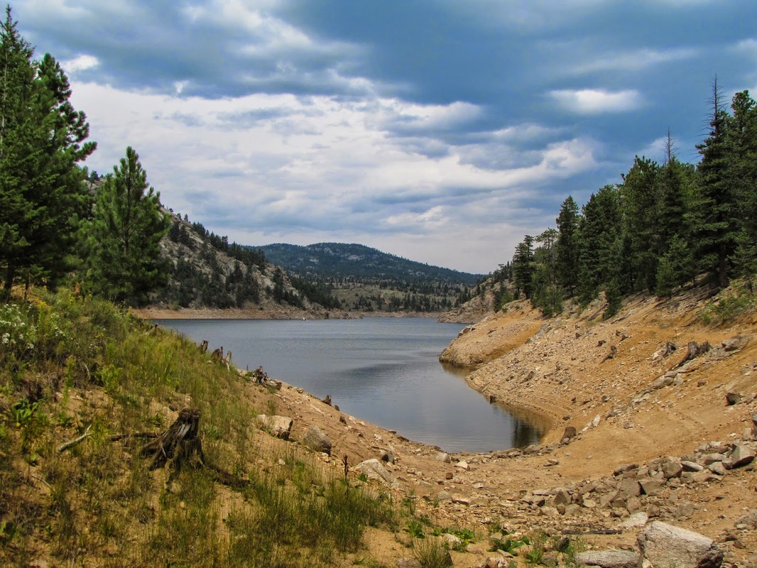
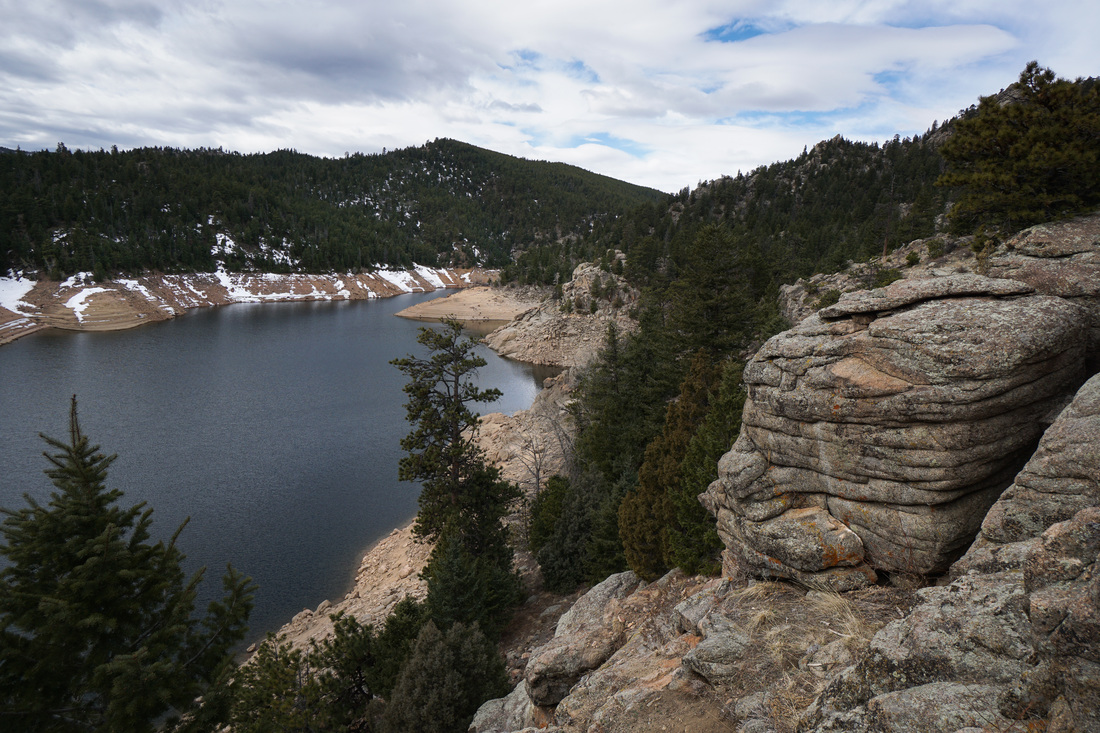
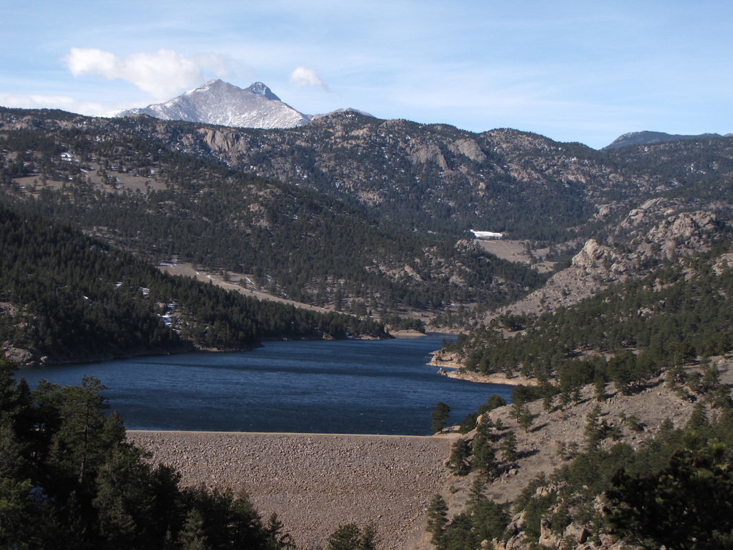
Gross Reservoir
|
|
S. Boulder Creek Inlet Trail
3.1 mi (RT); 300 ft elevation gain |
Rocky Point Trail
2.3 mi (RT); 400 ft elevation gain |

Scenic View
.15 mi (RT); minimal elevation gain |
South Boulder Creek
.3 mi (RT); 115 ft elevation gain |
|
|
Other Boulder Area Hikes |
|
Boy Scout/Dots Trail System
Roosevelt National Forest 3.8 mi (RT); 700 ft elevation gain |
Button Rock Preserve - Sleepy Lion Trail
City of Longmont 5.1 mi (RT); 900 ft elevation gain |
Davidson Mesa Open Space
City of Louisville 3.2 mi (RT); 275 ft elevation gain |
Forsythe Canyon
Roosevelt National Forest 2.6 mi (RT); 430 ft elevation gain |
Harper Lake Open Space
City of Louisville 1 mi (RT); minimal elevation gain |
Sandstone Ranch District Park
City of Longmont 1 mi (RT); 200 ft elevation gain |
Winiger Ridge
Roosevelt National Forest 3.3 mi (RT); 900 ft elevation gain |
