GO HIKE COLORADO
Get in Touch:
  • HOME
  • ABOUT
  • HIKES BY REGION
    • DENVER AREA >
      • Denver Mountain Parks
      • Jefferson County Open Space
      • Lakewood Parks
      • Denver Area Greenways
    • BOULDER AREA
    • DOUGLAS COUNTY
    • FORT COLLINS AREA
    • COLORADO SPRINGS AREA
    • FRONT RANGE
    • TENMILE & MOSQUITO RANGES
    • GORE RANGE
    • SANGRE DE CRISTO MOUNTAINS
    • PARK RANGE
    • SAWATCH RANGE
    • ELK MOUNTAINS
    • SAN JUAN MOUNTAINS
    • THE FLAT TOPS
    • GRAND MESA
    • COLORADO PLATEAU
    • EASTERN PLAINS
  • NATIONAL PARK HIKES
    • BENT'S OLD FORT NATIONAL HISTORIC SITE
    • BLACK CANYON OF THE GUNNISON NATIONAL PARK
    • COLORADO NATIONAL MONUMENT
    • CURECANTI NATIONAL RECREATION AREA
    • DINOSAUR NATIONAL MONUMENT
    • FLORISSANT FOSSIL BEDS NATIONAL MONUMENT
    • MESA VERDE NATIONAL PARK
    • ROCKY MOUNTAIN NATIONAL PARK
    • GREAT SAND DUNES NATIONAL PARK
    • HOVENWEEP NATIONAL MONUMENT
    • SAND CREEK MASSACRE NATIONAL HISTORIC SITE
    • YUCCA HOUSE NATIONAL MONUMENT
  • HIKES BY CATEGORY
    • HIKES TO ALPINE LAKES
    • HIKES TO PEAKS & PASSES
    • HIKES THROUGH CANYONS
    • HIKES WITH FALL COLORS
    • HIKES ALONG THE I-70 CORRIDOR
    • HIKES ON PAVED TRAILS
    • HIKES FOR KIDS
    • HIKES TO WATERFALLS
    • HIKES ALONG RIVERS
    • HIKES WITH ROCK FORMATIONS
    • HIKES WITH WILDFLOWERS
    • WINTER HIKES
  • NEWS
  • WEBCAMS
  • $UPPORT GHC
  • INTERACTIVE MAP

Marshall Mesa
City of Boulder OSMP

​Date Hiked: January 21, 2013

​Distance: 3.4 mi (RT)

Elevation Gain: 250ft
Elevation Min/Max: 5,503 to 5,758ft
Managing Agency: City of Boulder Open Space and Mountain Parks
Fee: None

Marshall Mesa Trail Map
Picture

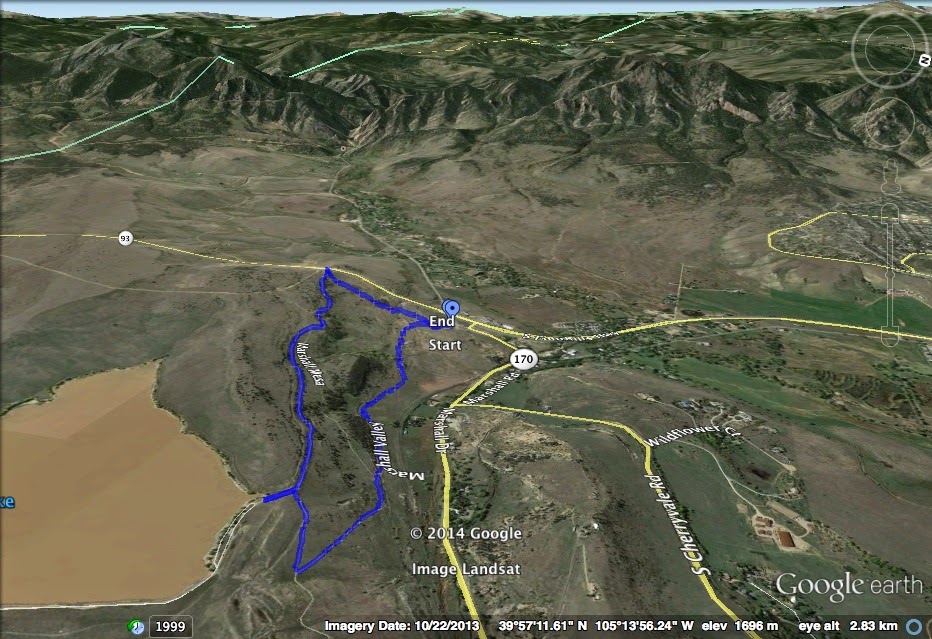
Directions: From Denver or Boulder take Hwy 93 to the four way intersection of Hwy 93, Eldorado Springs Drive, and Marshall Road (170). The parking area and trailhead is on Marshall Road just east of the intersection.

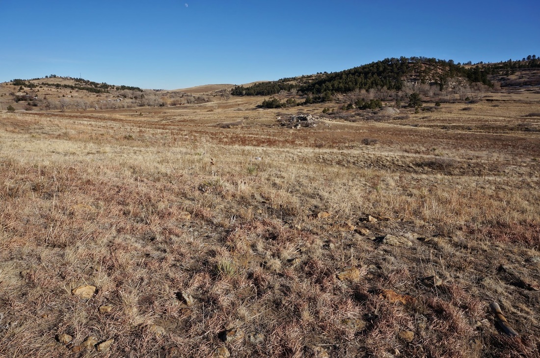
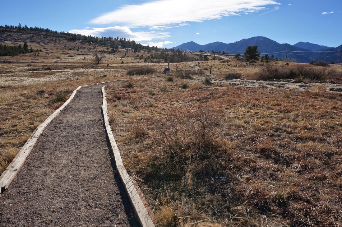
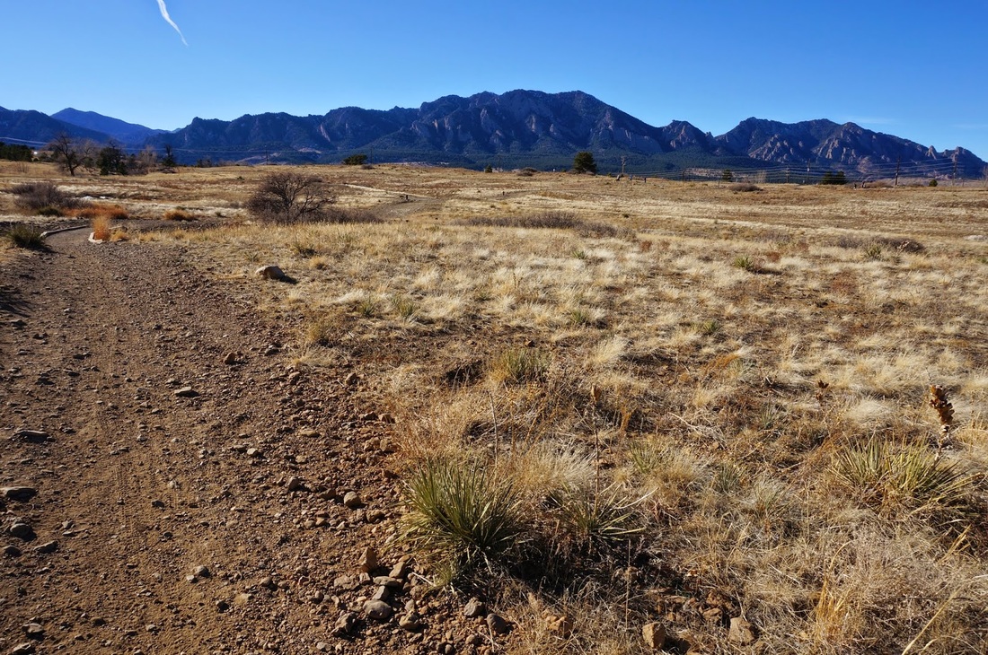
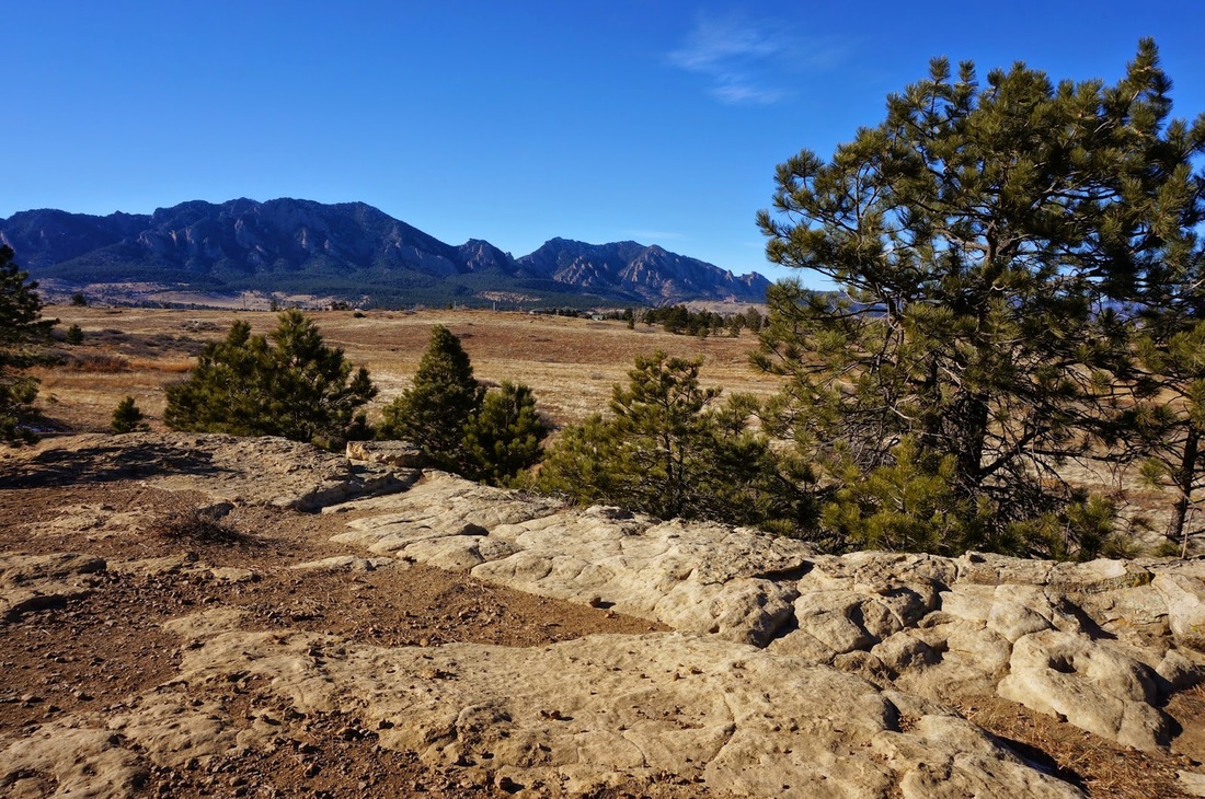
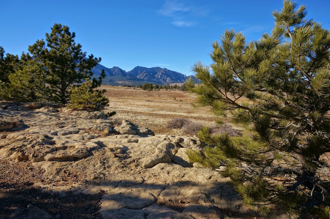
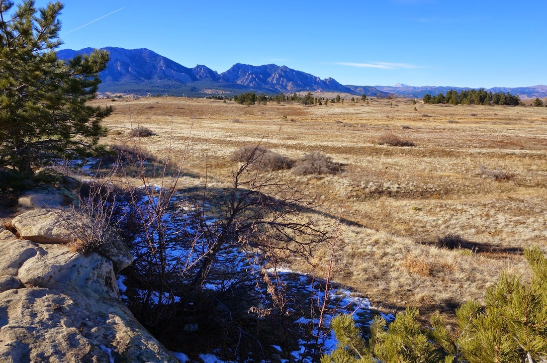
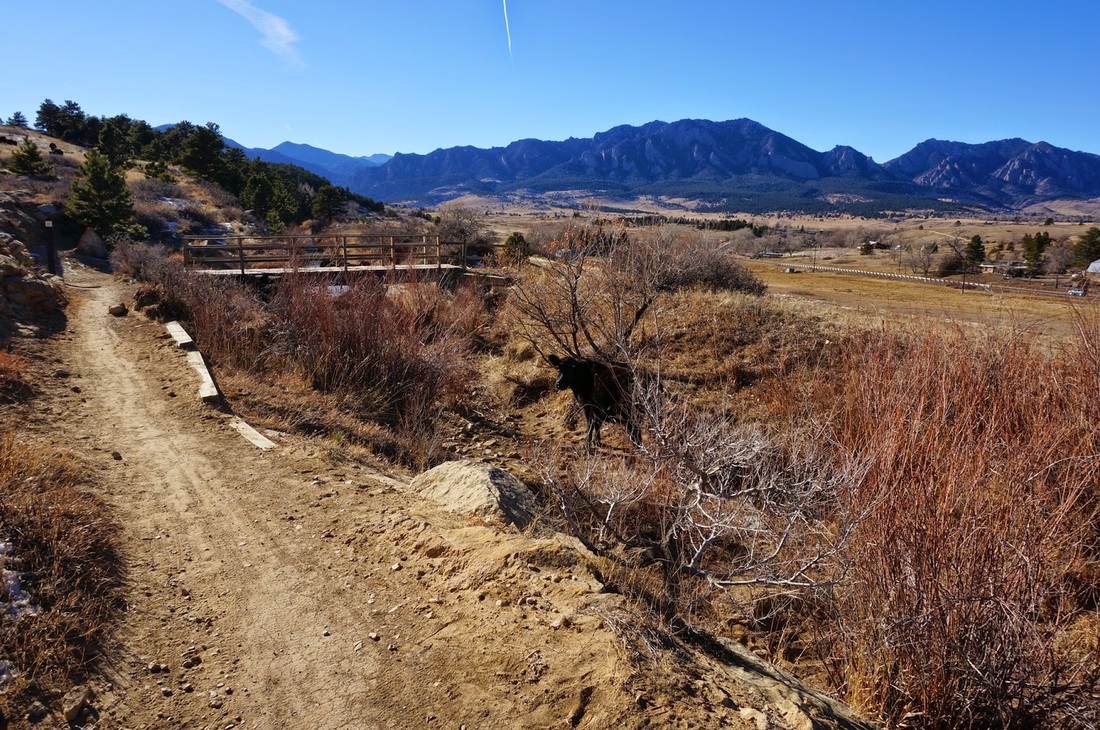
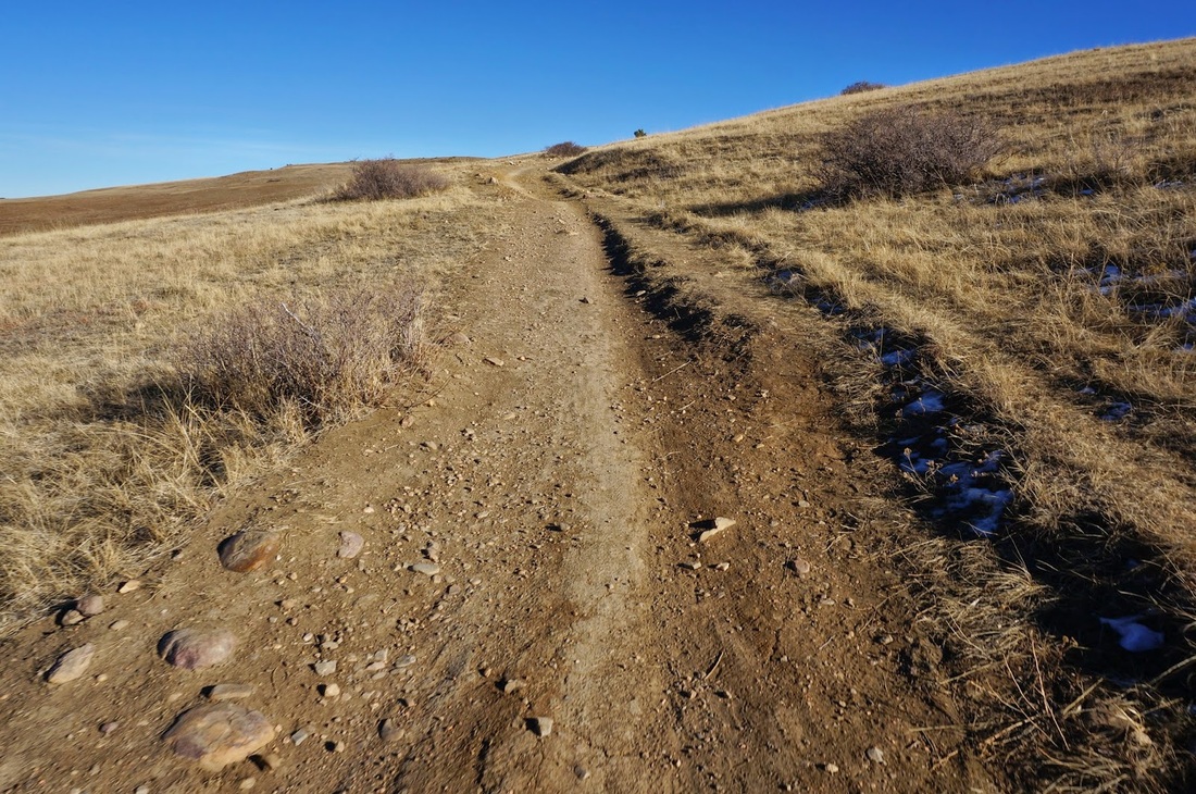
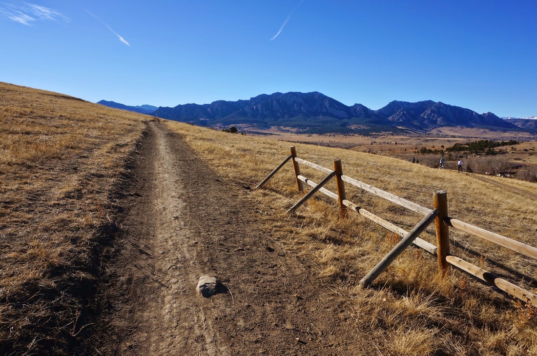
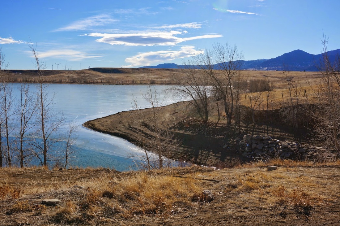
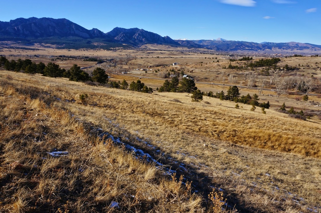
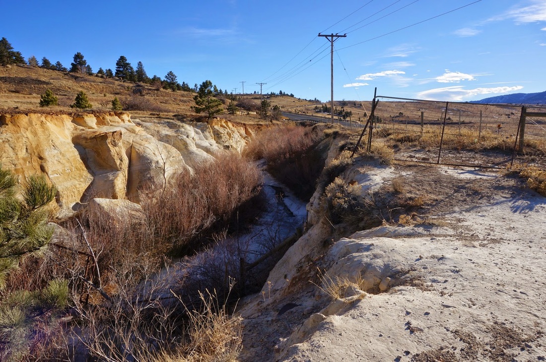
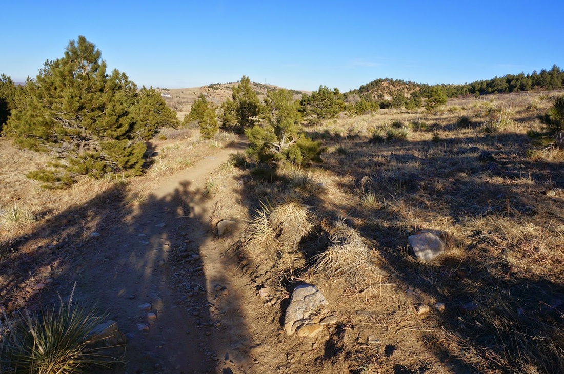
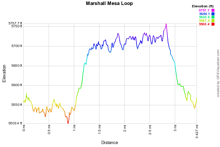
Marshall Mesa is a popular area for hikers, mountain bikers, and families enjoying the outdoors. The trails are relatively easy, there are many options for length, and there are nice views of the Boulder Foothills. From the parking area, head east on the Marshall Valley Trail for .8 miles. When you reach the intersection stay straight for another .3 miles as you veer south and climb up towards Marshall Lake. You can also take the Marshall Mesa Trail back to the west, which makes the hike a bit shorter. 

When you get to the intersection of the Marshall Valley, Cowdrey Draw, and Community Ditch trails, turn right and follow the Community Ditch Trail to the west.  You can make a short diversion here for a nice view of Marshall Lake, but you are not allowed to pass the fencing as the lake is off limits.  Continue on the Community Ditch Trail for 1 mile to an intersection and bear right staying on the Community Ditch Trail for another .4 miles.  The Community Ditch Trail provides nice views to the west and in the spring and early summer the ditch can seem like a peacefully flowing river.  When you reach the Coal Seem Trail turn right and descend through rolling terrain and through patches of cottonwood trees back to the Trailhead. 
© Go Hike Colorado, 2020.  All Rights Reserved. 
Use of photographs without prior authorization is
​strictly prohibited.


Contact us at:
[email protected]
Legal Disclaimer - Information provided on this site is based upon our own observations, always double check information with the appropriate land management agency before heading into the backcountry.  Backcountry travel is inherently dangerous, please take all proper precautions.  Go Hike Colorado is not responsible for injury or incident.