GO HIKE COLORADO
Get in Touch:
  • HOME
  • ABOUT
  • HIKES BY REGION
    • DENVER AREA >
      • Denver Mountain Parks
      • Jefferson County Open Space
      • Lakewood Parks
      • Denver Area Greenways
    • BOULDER AREA
    • DOUGLAS COUNTY
    • FORT COLLINS AREA
    • COLORADO SPRINGS AREA
    • FRONT RANGE
    • TENMILE & MOSQUITO RANGES
    • GORE RANGE
    • SANGRE DE CRISTO MOUNTAINS
    • PARK RANGE
    • SAWATCH RANGE
    • ELK MOUNTAINS
    • SAN JUAN MOUNTAINS
    • THE FLAT TOPS
    • GRAND MESA
    • COLORADO PLATEAU
    • EASTERN PLAINS
  • NATIONAL PARK HIKES
    • BENT'S OLD FORT NATIONAL HISTORIC SITE
    • BLACK CANYON OF THE GUNNISON NATIONAL PARK
    • COLORADO NATIONAL MONUMENT
    • CURECANTI NATIONAL RECREATION AREA
    • DINOSAUR NATIONAL MONUMENT
    • FLORISSANT FOSSIL BEDS NATIONAL MONUMENT
    • MESA VERDE NATIONAL PARK
    • ROCKY MOUNTAIN NATIONAL PARK
    • GREAT SAND DUNES NATIONAL PARK
    • HOVENWEEP NATIONAL MONUMENT
    • SAND CREEK MASSACRE NATIONAL HISTORIC SITE
    • YUCCA HOUSE NATIONAL MONUMENT
  • HIKES BY CATEGORY
    • HIKES TO ALPINE LAKES
    • HIKES TO PEAKS & PASSES
    • HIKES THROUGH CANYONS
    • HIKES WITH FALL COLORS
    • HIKES ALONG THE I-70 CORRIDOR
    • HIKES ON PAVED TRAILS
    • HIKES FOR KIDS
    • HIKES TO WATERFALLS
    • HIKES ALONG RIVERS
    • HIKES WITH ROCK FORMATIONS
    • HIKES WITH WILDFLOWERS
    • WINTER HIKES
  • NEWS
  • WEBCAMS
  • $UPPORT GHC
  • INTERACTIVE MAP


Tenmile Range Hikes


Picture
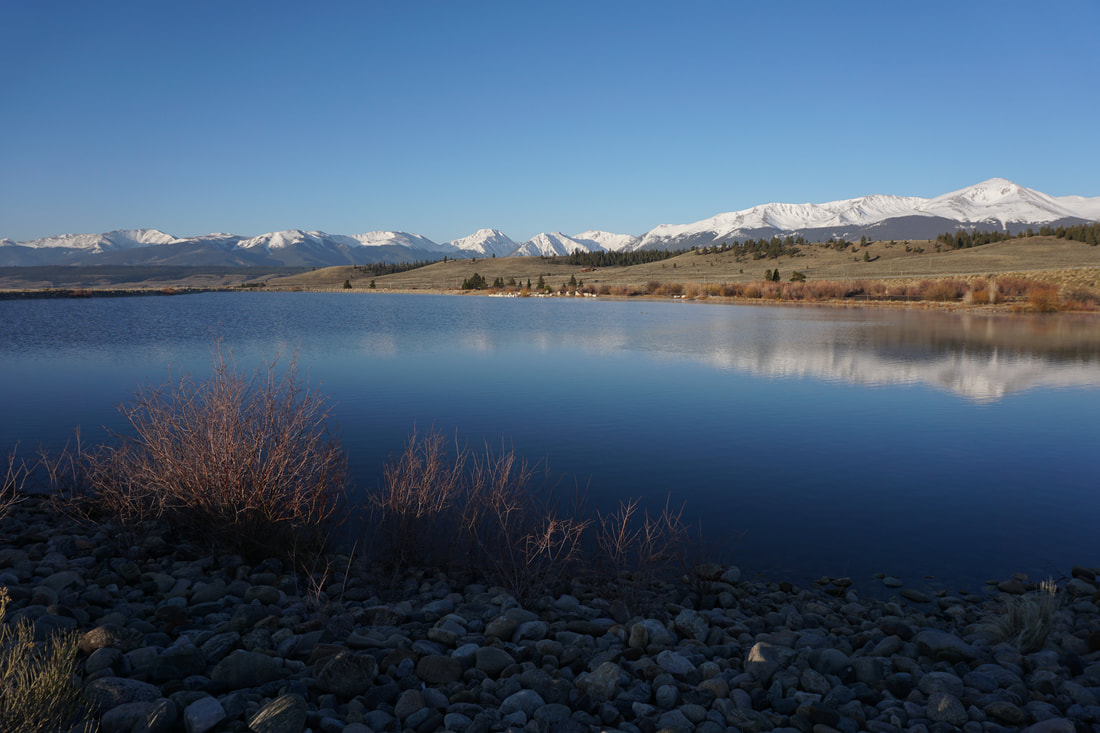
Clinton Gulch Reservoir Trail
White River National Forest
​2.5 mi (RT); 580 ft elevation gain
Picture
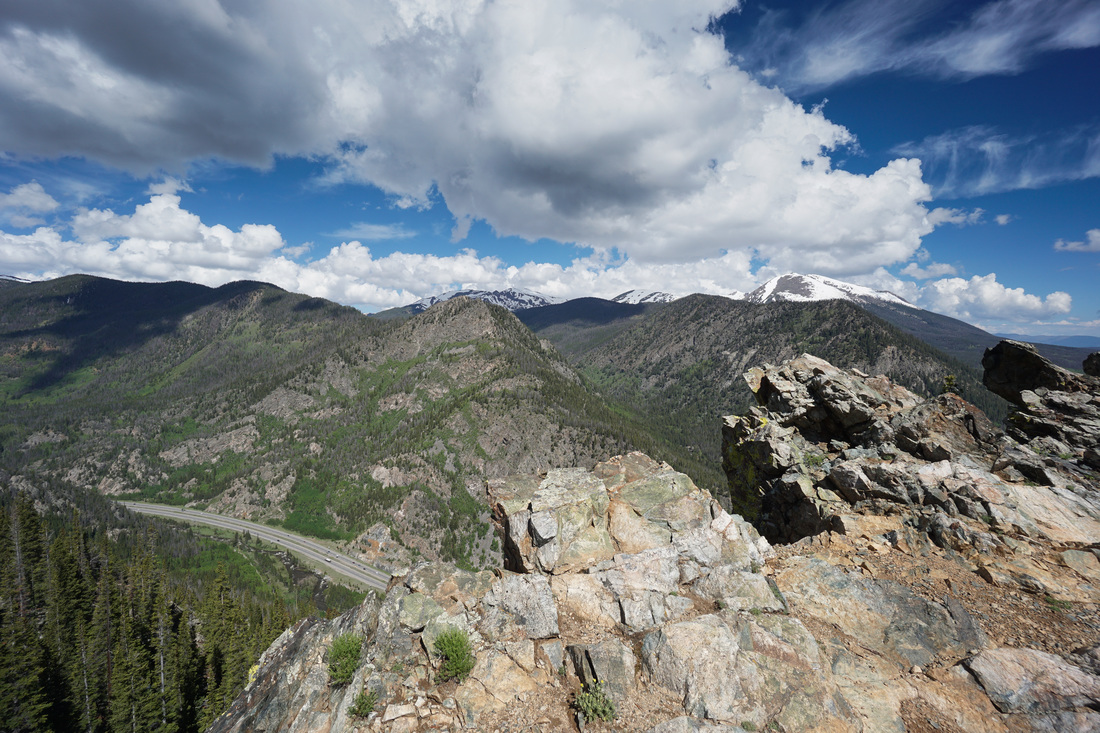
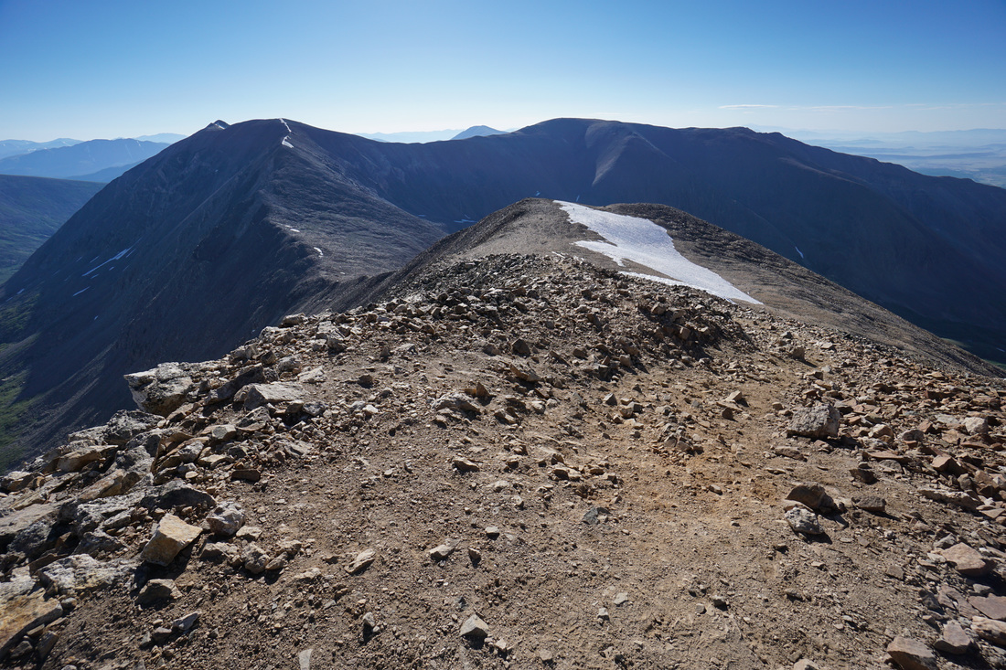
East Ridge of Pacific Peak
White River National Forest
8 mi (RT); 4,170 ft elevation gain
Picture
Hoosier Pass West to Crystal Lake
White River National Forest
3.5 mi (RT); 945 mi elevation gain
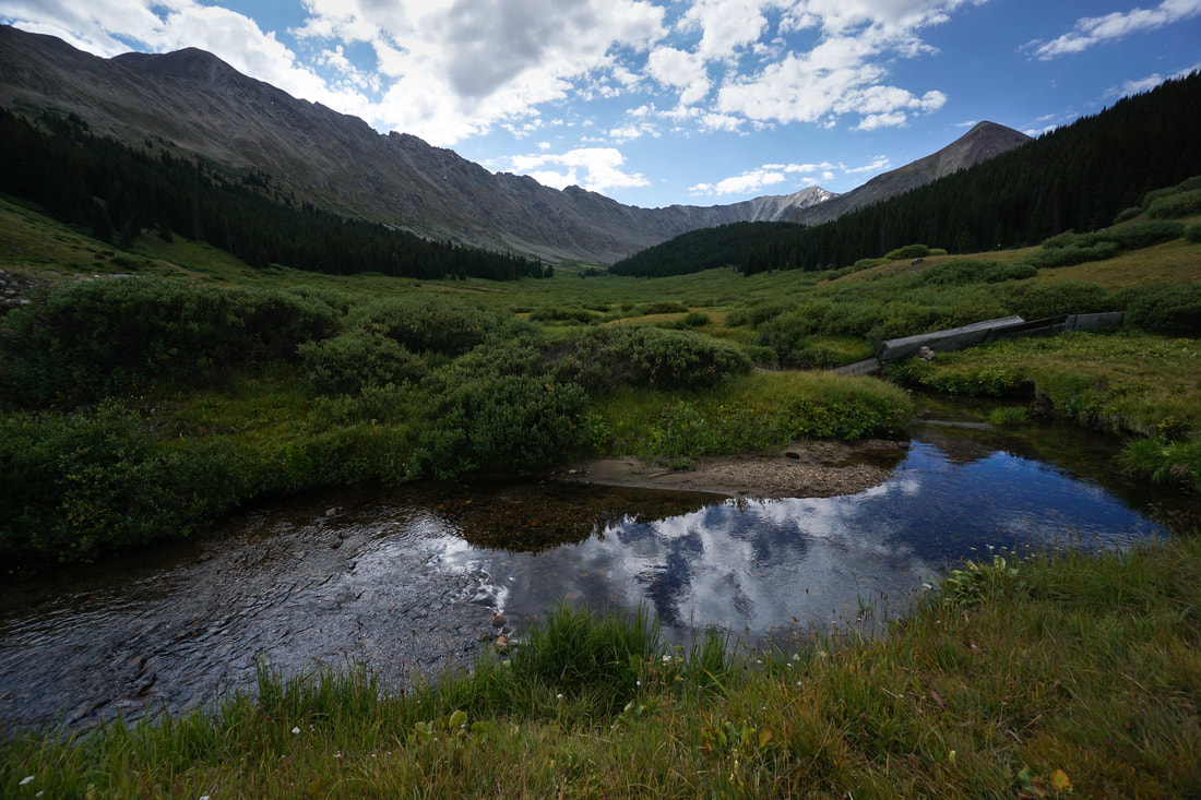
Picture
Mayflower Gulch
White River National Forest
5 miles (RT); 1,200 ft elevation gain
Picture
McCullough Gulch
White River National Forest
6.4 mi (RT); 1,800 ft elevation gain)

Picture
McCullough Gulch (Winter Trail)
White River National Forest
2.4 miles (RT); 630 ft elevation gain
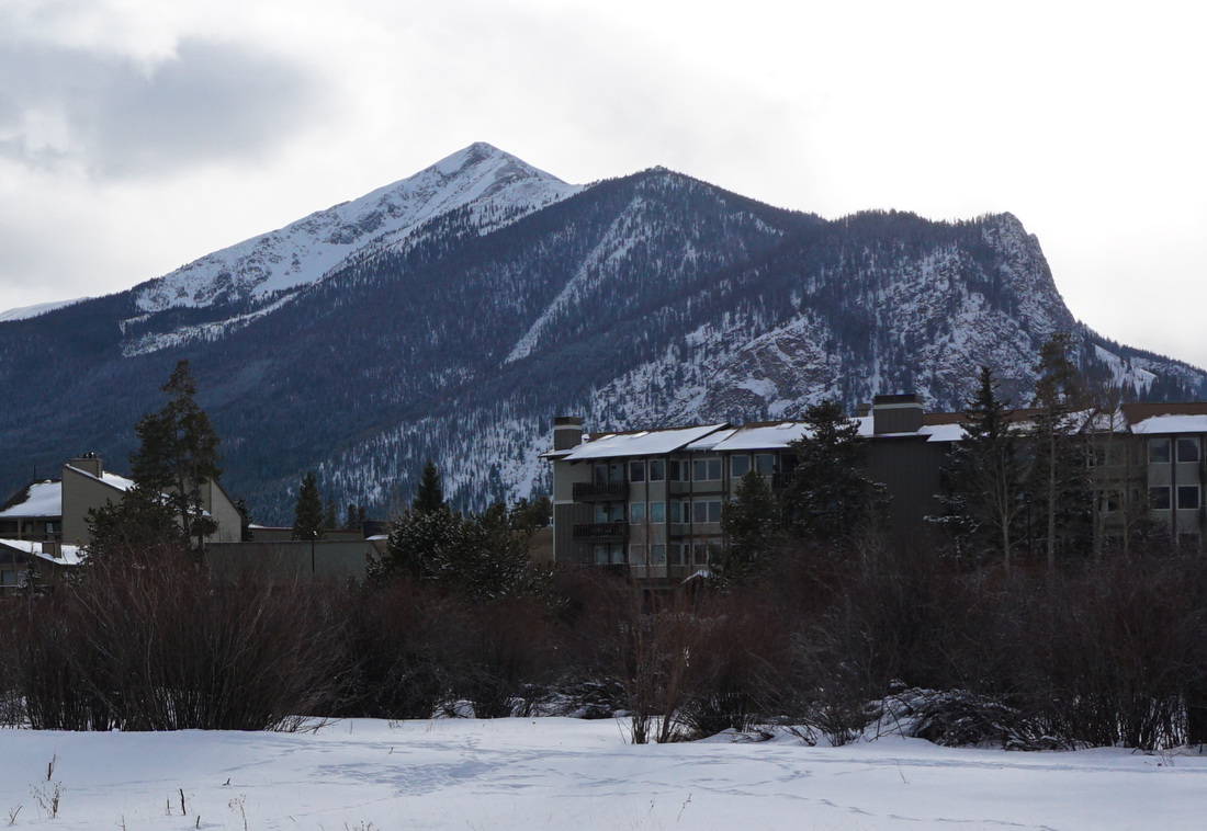
Picture
Mount Royal
White River National Forest
4 miles (RT); 1,588 ft elevation gain
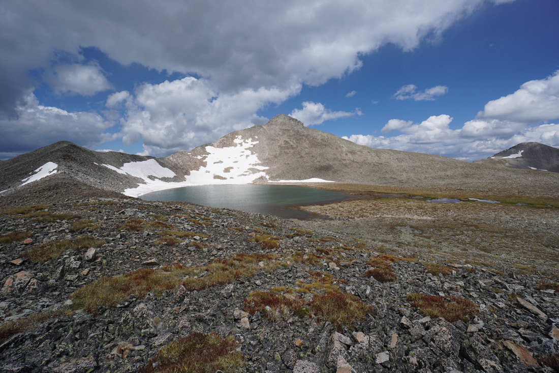
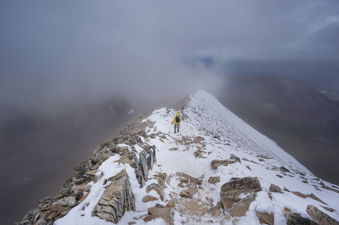
Picture
Pacific Tarn
White River National Forest
8.4 mi (RT); 2,800 ft elevation gain
Picture
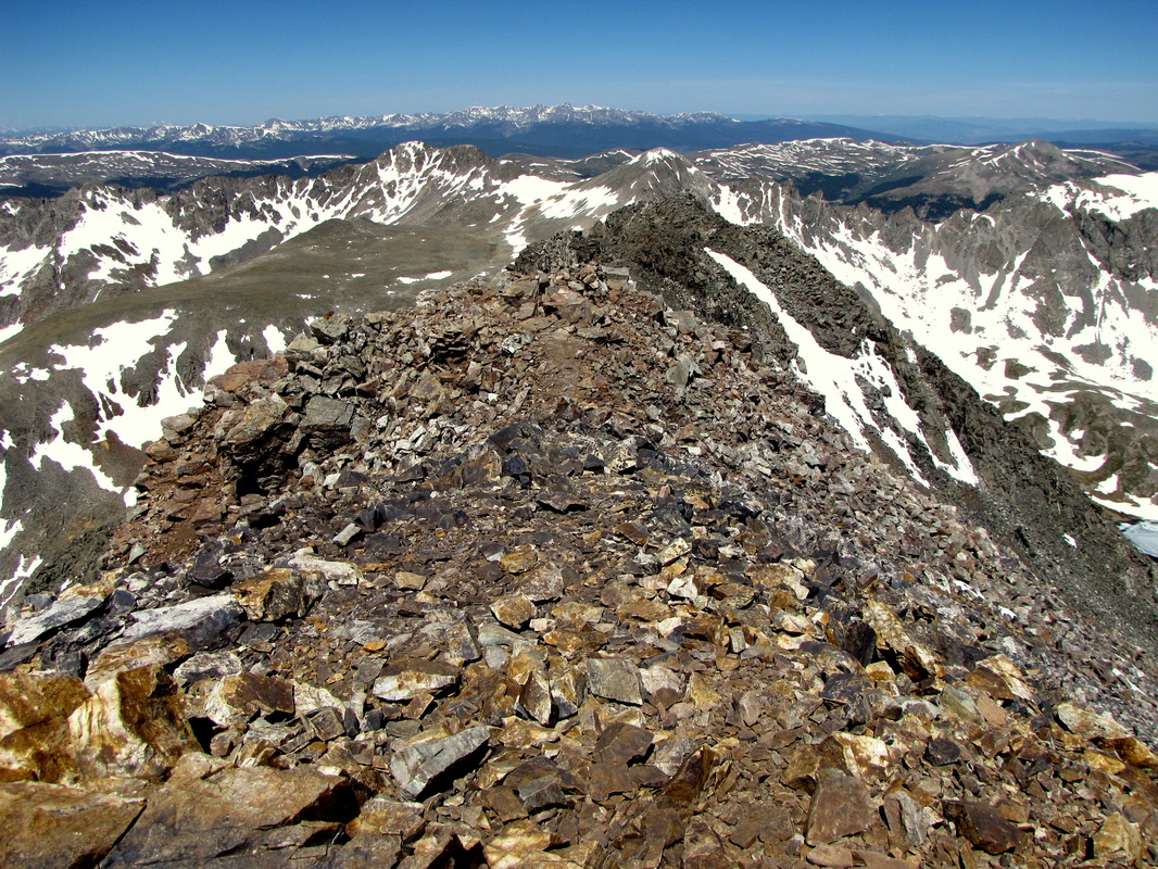
Quandary Peak 14,265 ft
White River National Forest
​ 6.7 miles (RT); 3,500ft elevation gain
Picture
Rainbow Lake
White River National Forest
3.5 mi (RT); 400 ft elevation gain
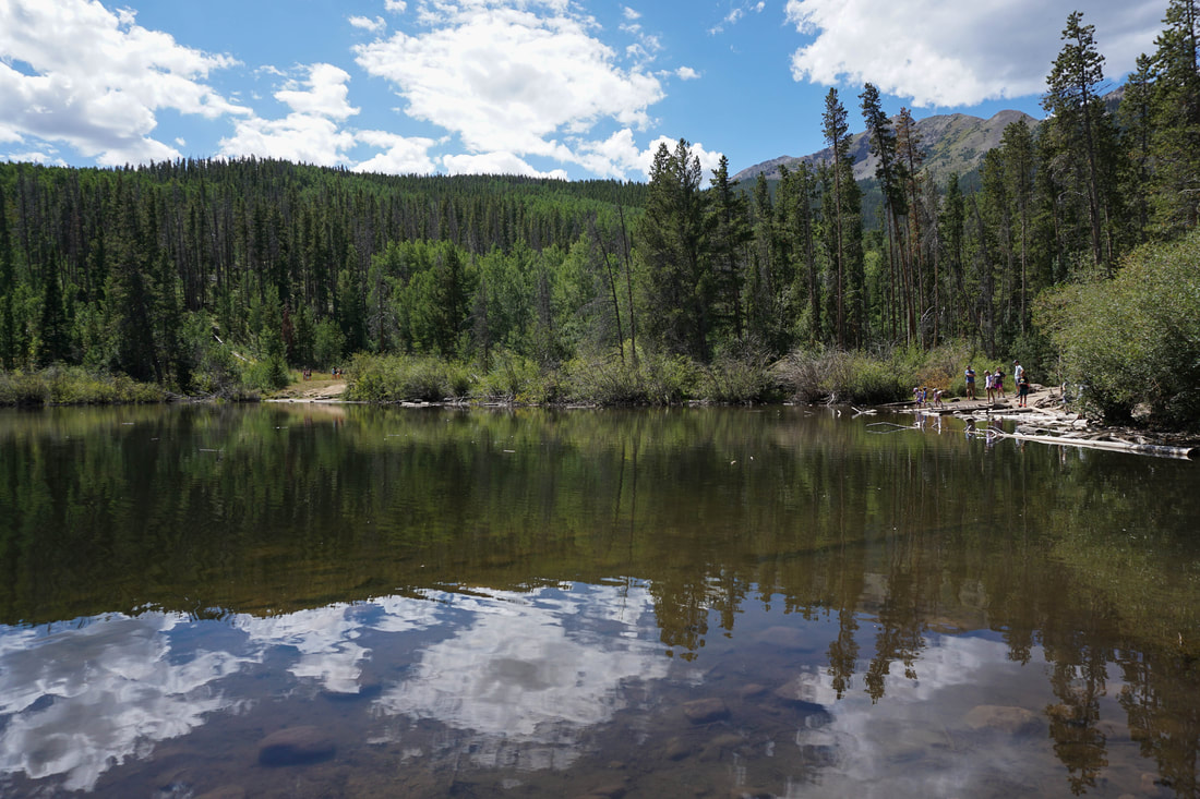
Picture
Willow Preserve
Town of Frisco
.25 mi (RT); minimal elevation gain


Mosquito Range Hikes


Picture
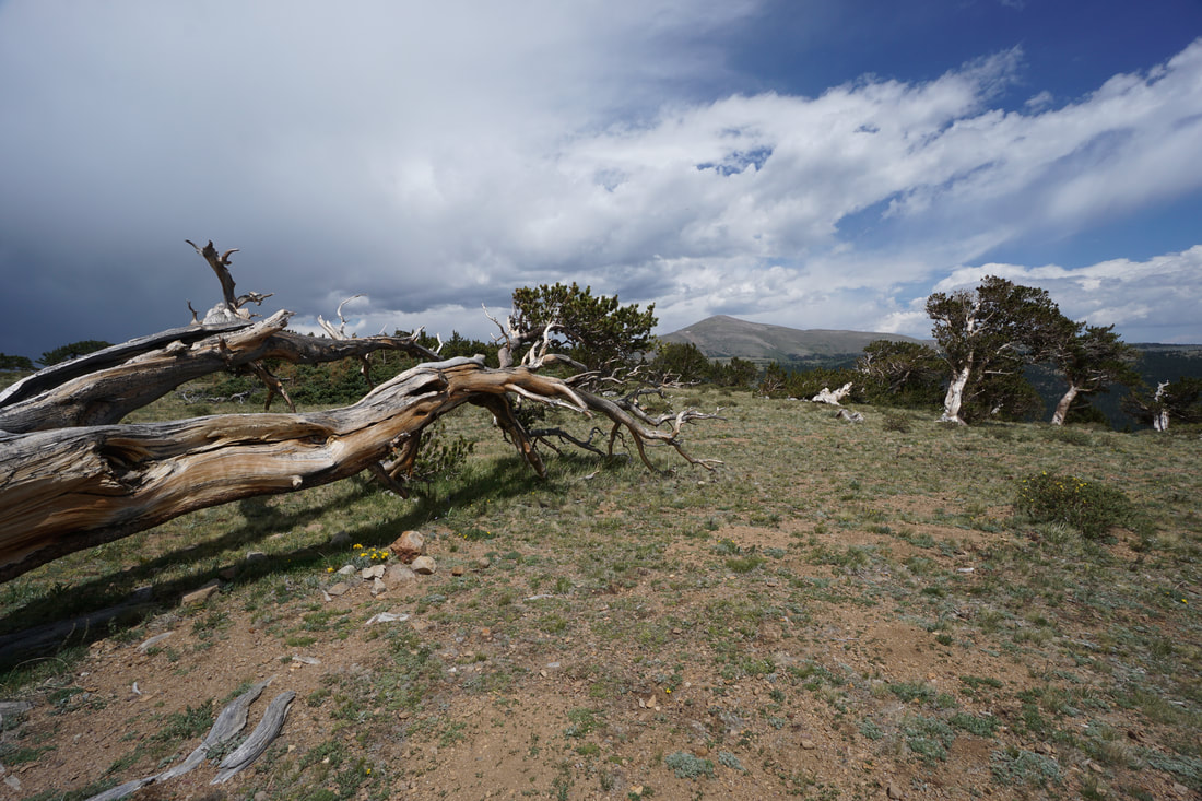
Bristlecone Pine Scenic Area
Pike National Forest
2 mi (Rt); 350 ft elevation gain
Picture
Hayden Meadows
Arkansas Headwaters Recreation Area
1 mi (RT); minimal elevation gain
Picture
Lake Emma
Pike National Forest
1.6 mi (RT); 650 ft elevation gain
Picture
Mount Bross 14,172
Pike National Forest
​3.4 mi (RT); 2,272 ft elevation gain
Picture
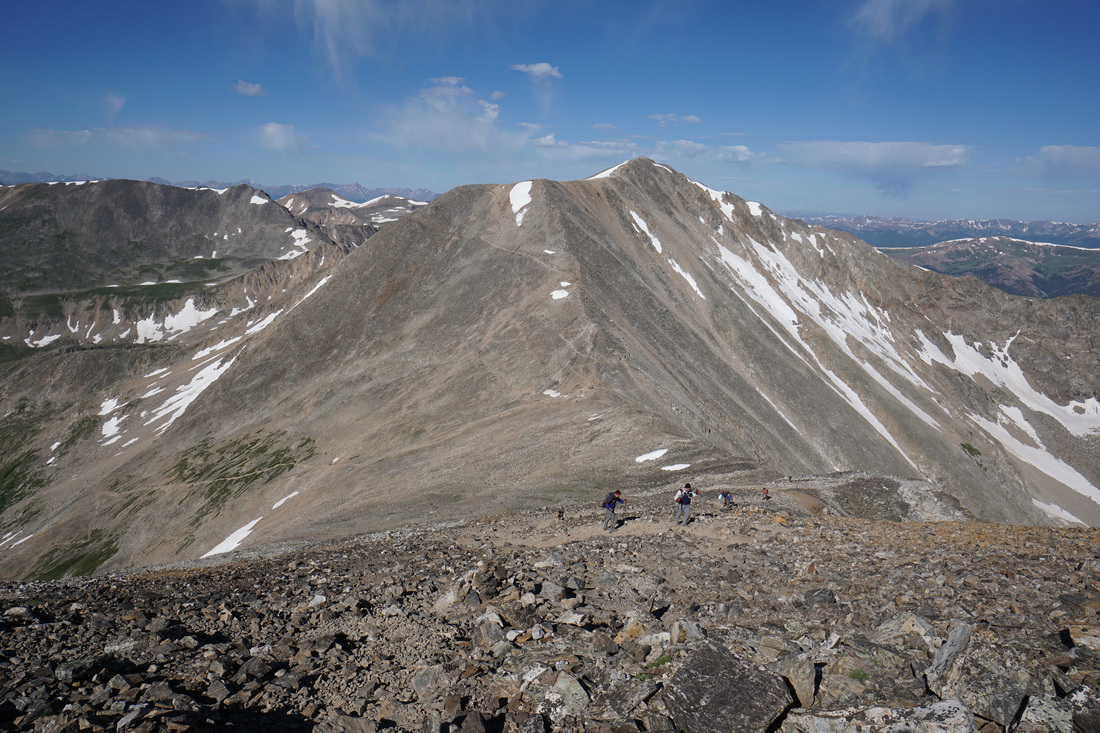
Mount Cameron 14,238 & Lincoln 14,286
Pike National Forest
​6 mi (RT); 2,500 ft elevation gain
Picture
Mount Democrat 14,148
Pike National Forest
4.2 mi (RT); 2,250 ft elevation gain
Picture
The Decalibron ​(Combo: Mt. Democrat > Mt. Cameron > Mt. Lincoln > Mt. Bross)
Pike National Forest
7.5 mi (RT); 3,958 ft elevation gain
Picture
Mount Sherman 14,036 ft 
​
Pike National Forest
5 mi (RT); 2,100 ft elevation gain
© Go Hike Colorado, 2020.  All Rights Reserved. 
Use of photographs without prior authorization is
​strictly prohibited.


Contact us at:
[email protected]
Legal Disclaimer - Information provided on this site is based upon our own observations, always double check information with the appropriate land management agency before heading into the backcountry.  Backcountry travel is inherently dangerous, please take all proper precautions.  Go Hike Colorado is not responsible for injury or incident.