|
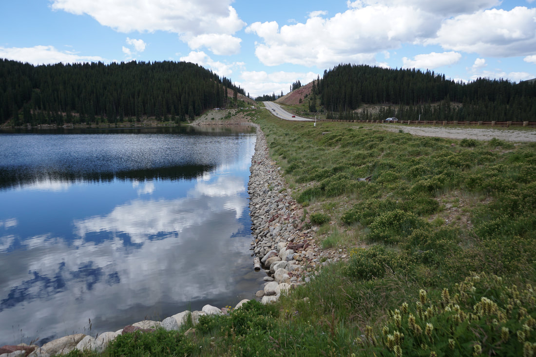
DIRECTIONS: From I-70 near Copper Mountain Ski resort, head south on Hwy 91 towards Leadville. Clinton Gulch Reservoir is about 7 miles south of Copper Mountain. There are two parking areas on either side of the Dam.
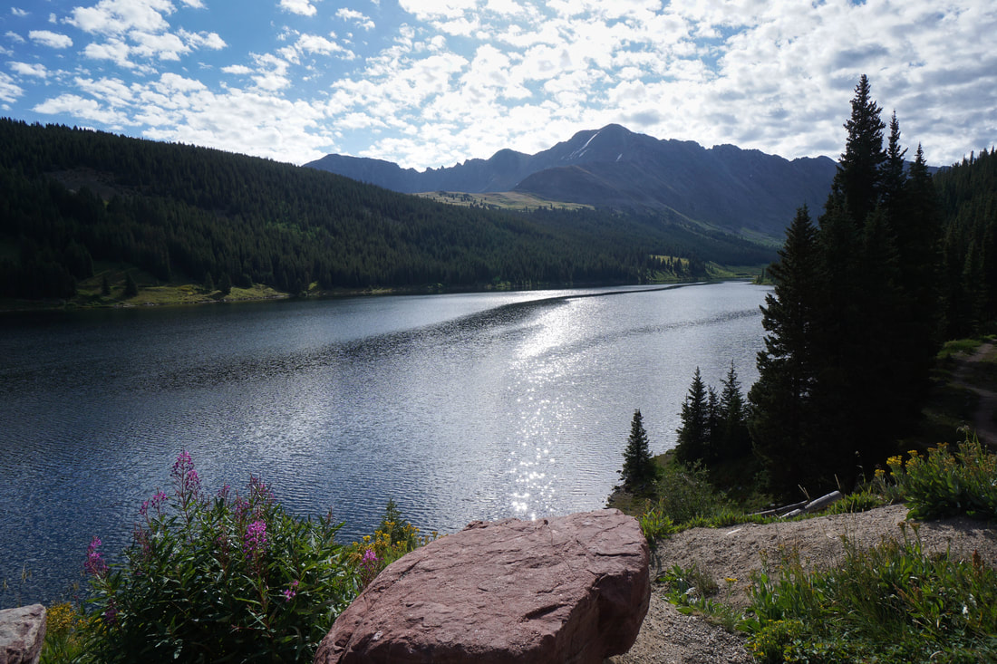
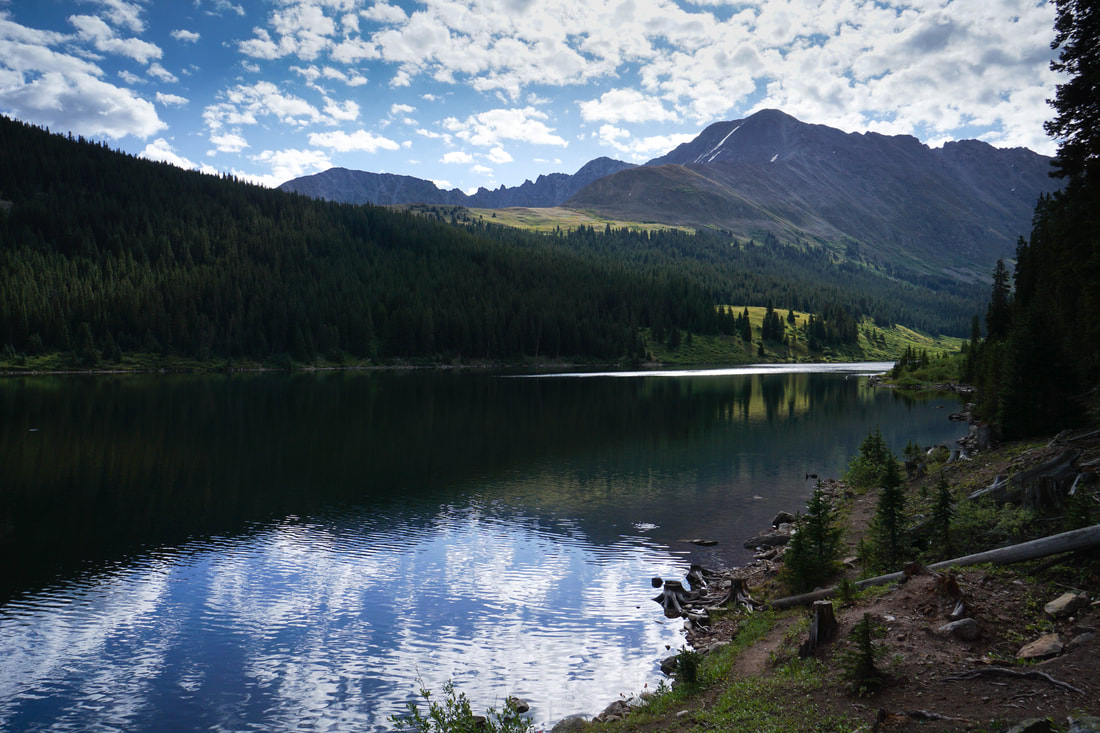
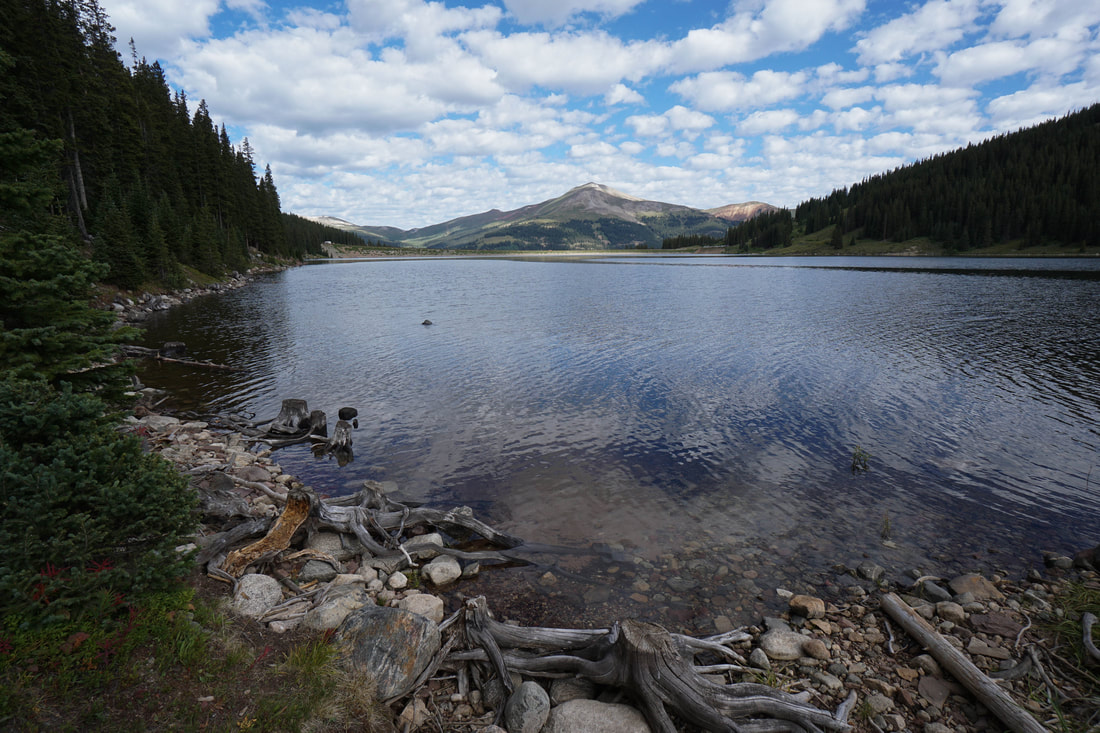
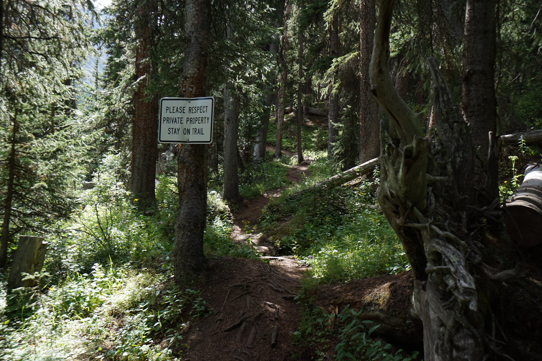
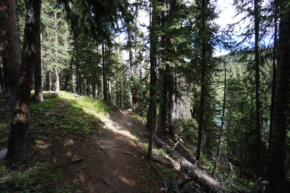
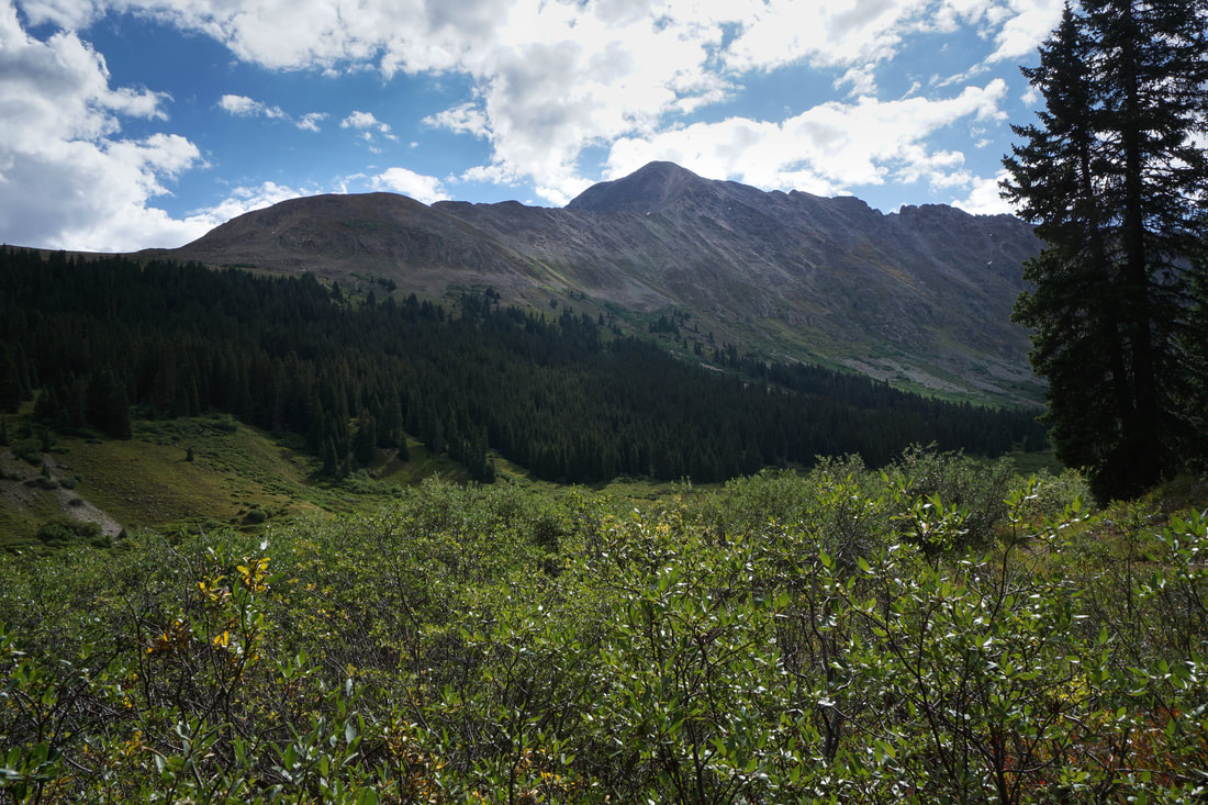
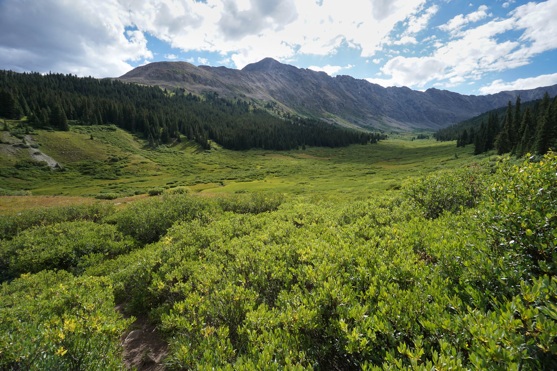
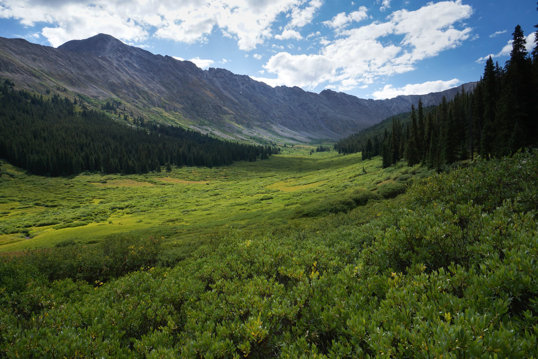
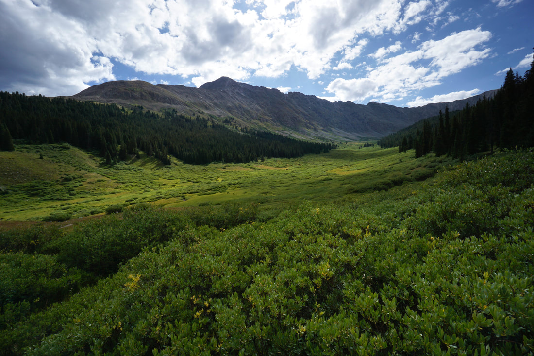
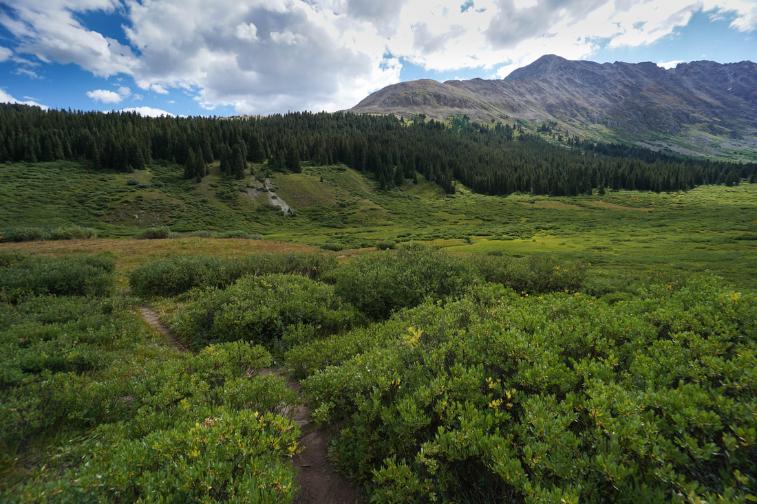
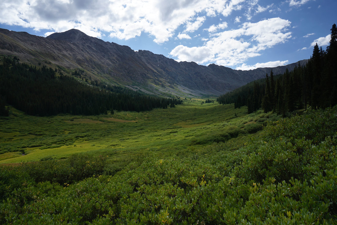
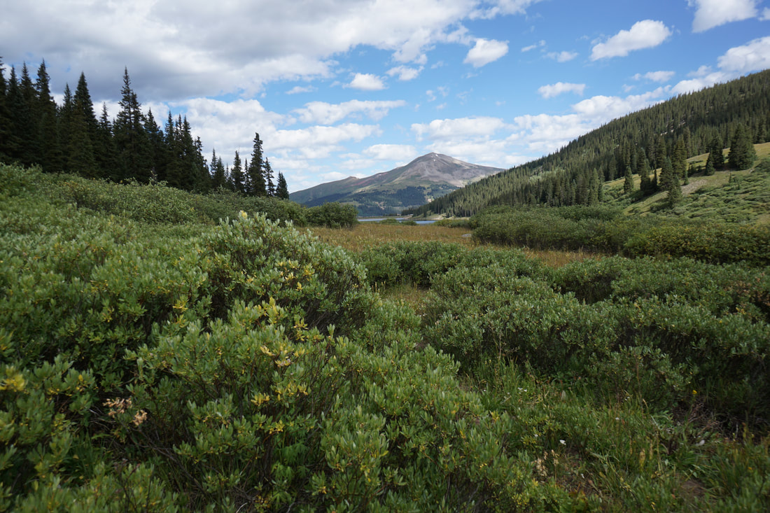
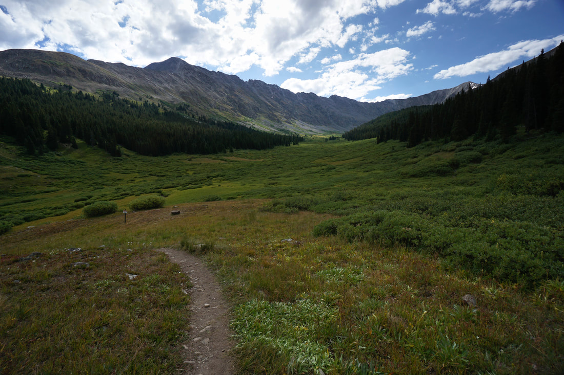
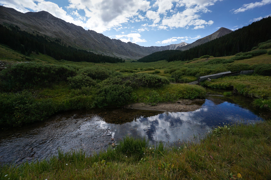
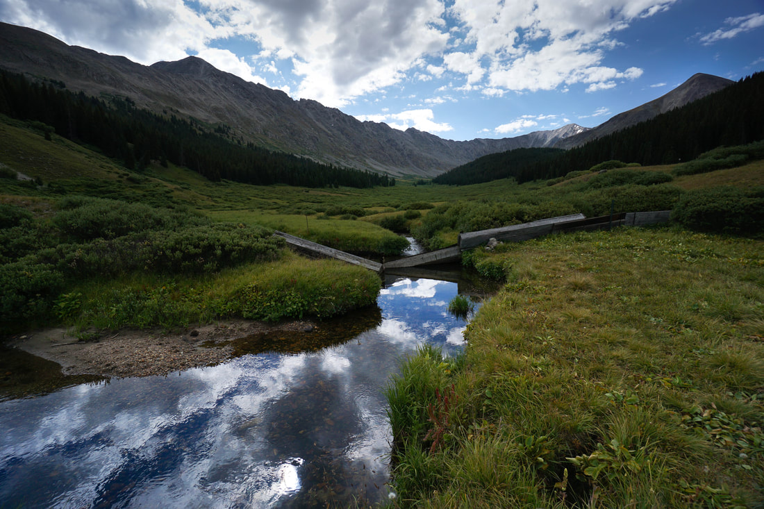
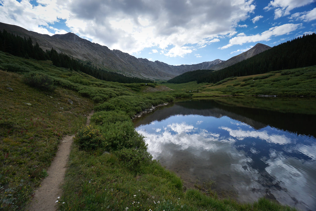
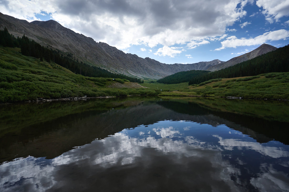
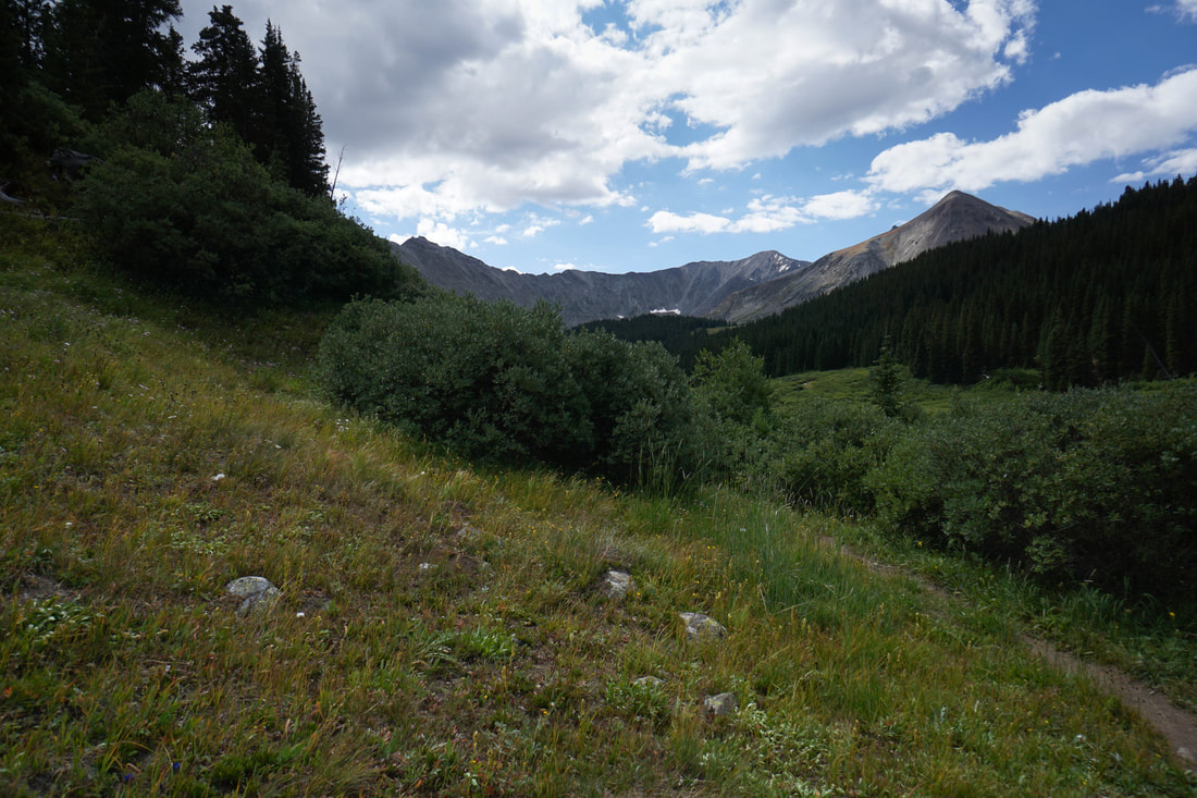
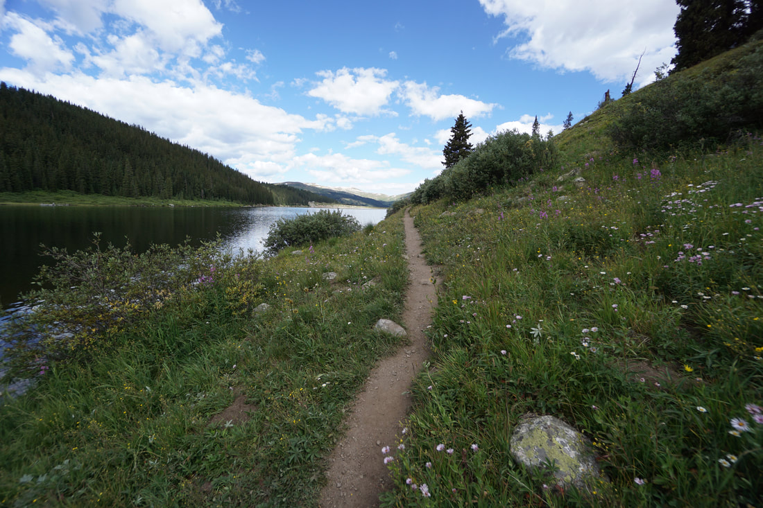
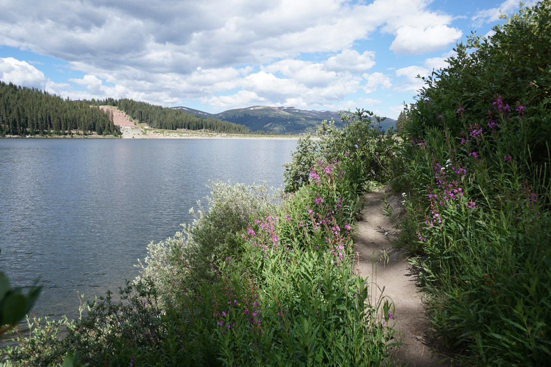
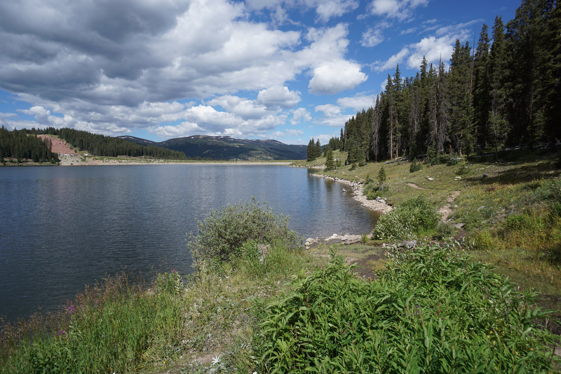
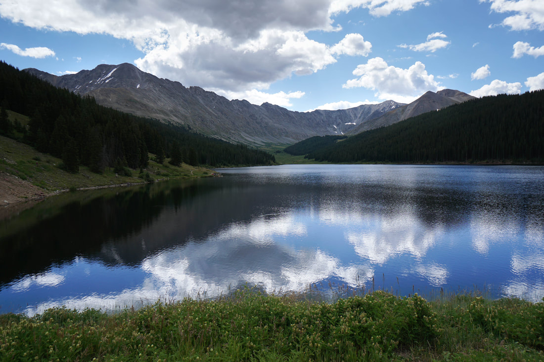
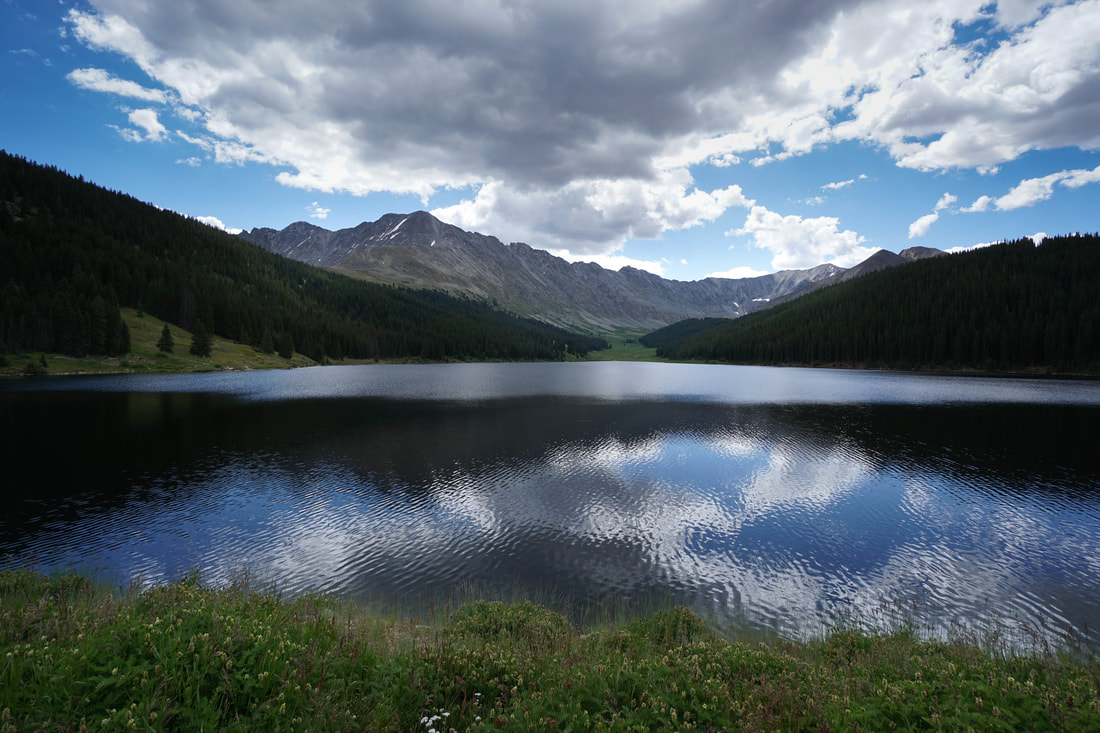
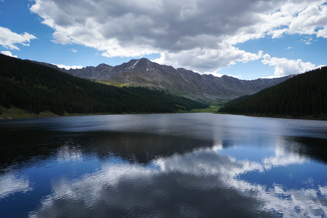
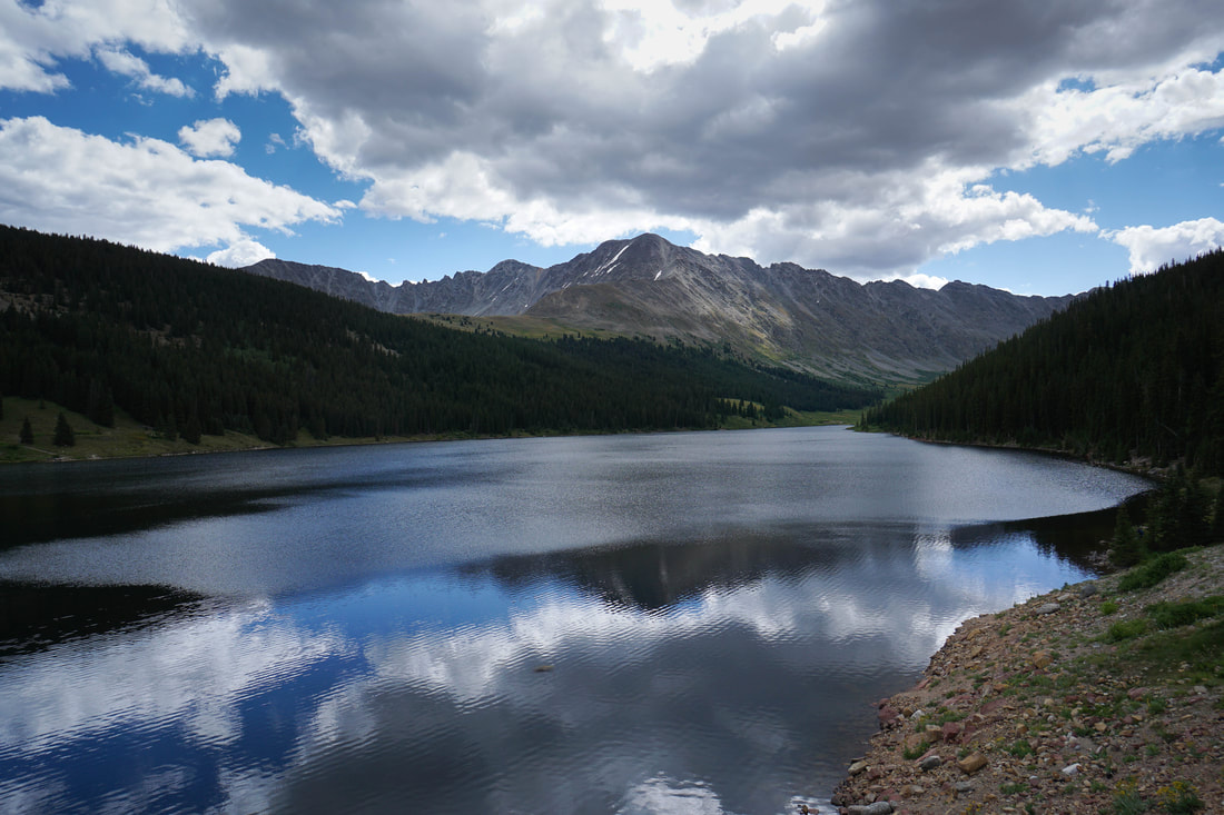
Clinton Gulch Reservoir is one of those classic Colorado bang-for-your-buck hikes. The hike is relatively easy, doesn't gain a lot of elevation, and is easily accessed off the highway. However, the views of the Tenmile Range's jagged peaks are phenomenal. The reservoir sits in the drainage directly south of Mayflower Gulch, another relatively easy and stunning hike in the same area. At the eastern end of Clinton Gulch an alpine cirque connecting Fletcher Mountain, Wheeler Mountain, Clinton Peak, and Bartlett Mountain gives the hike a backdrop usually reserved for much harder hikes. From the Western end of the Reservoir, Fletcher Mountain towers to the northeast making the hike immediately rewarding. The hike is pretty straightforward, a well defined trail circles the reservoir. The trail along the Southern shore of the reservoir rolls through dense pine with views of Fletcher Mountain every so often. As you reach the far end of the reservoir, the trail dips down through willows and wetlands to a narrow stream feeding the reservoir. The views of Clinton Gulch from this spot are wonderful. As you cross the stream, the trail continues along the northern shore. This segment is typically muddy with springs and streams feeding down into the reservoir. As you get closer to the dam, the trail mellows out and is popular for fishing. Be sure to look behind yourself often as the views of the cirque only get better as you hike west towards the dam. When you reach the northern parking area, the trail follows the highway back to the southern parking area. This part of the hike has some of the best mountain views, but the highway traffic will certainly detract from the scenery. All in all, Clinton Gulch Reservoir is an easy way to experience some high alpine Tenmile beauty. The trail is great for kids but covers enough terrain to make it enjoyable for adults of all skill levels. |
|
- HOME
- ABOUT
-
HIKES BY REGION
-
NATIONAL PARK HIKES
- BENT'S OLD FORT NATIONAL HISTORIC SITE
- BLACK CANYON OF THE GUNNISON NATIONAL PARK
- COLORADO NATIONAL MONUMENT
- CURECANTI NATIONAL RECREATION AREA
- DINOSAUR NATIONAL MONUMENT
- FLORISSANT FOSSIL BEDS NATIONAL MONUMENT
- MESA VERDE NATIONAL PARK
- ROCKY MOUNTAIN NATIONAL PARK
- GREAT SAND DUNES NATIONAL PARK
- HOVENWEEP NATIONAL MONUMENT
- SAND CREEK MASSACRE NATIONAL HISTORIC SITE
- YUCCA HOUSE NATIONAL MONUMENT
- HIKES BY CATEGORY
- NEWS
- WEBCAMS
- $UPPORT GHC
- INTERACTIVE MAP
Clinton Gulch Reservoir Trail
White River National Forest
Date Hiked: September 1, 2019
Distance: 2.5 mi (RT)
Elevation Gain: 580 ft elevation gain
Elevation Min/Max: 10,986 to 11,125 ft
Trailhead Lat/Long: 39º 24' 47" N; 106º 10' 32" W
Managing Agency: U.S. Forest Service
Fee: None