GO HIKE COLORADO
Get in Touch:
  • HOME
  • ABOUT
  • HIKES BY REGION
    • DENVER AREA >
      • Denver Mountain Parks
      • Jefferson County Open Space
      • Lakewood Parks
      • Denver Area Greenways
    • BOULDER AREA
    • DOUGLAS COUNTY
    • FORT COLLINS AREA
    • COLORADO SPRINGS AREA
    • FRONT RANGE
    • TENMILE & MOSQUITO RANGES
    • GORE RANGE
    • SANGRE DE CRISTO MOUNTAINS
    • PARK RANGE
    • SAWATCH RANGE
    • ELK MOUNTAINS
    • SAN JUAN MOUNTAINS
    • THE FLAT TOPS
    • GRAND MESA
    • COLORADO PLATEAU
    • EASTERN PLAINS
  • NATIONAL PARK HIKES
    • BENT'S OLD FORT NATIONAL HISTORIC SITE
    • BLACK CANYON OF THE GUNNISON NATIONAL PARK
    • COLORADO NATIONAL MONUMENT
    • CURECANTI NATIONAL RECREATION AREA
    • DINOSAUR NATIONAL MONUMENT
    • FLORISSANT FOSSIL BEDS NATIONAL MONUMENT
    • MESA VERDE NATIONAL PARK
    • ROCKY MOUNTAIN NATIONAL PARK
    • GREAT SAND DUNES NATIONAL PARK
    • HOVENWEEP NATIONAL MONUMENT
    • SAND CREEK MASSACRE NATIONAL HISTORIC SITE
    • YUCCA HOUSE NATIONAL MONUMENT
  • HIKES BY CATEGORY
    • HIKES TO ALPINE LAKES
    • HIKES TO PEAKS & PASSES
    • HIKES THROUGH CANYONS
    • HIKES WITH FALL COLORS
    • HIKES ALONG THE I-70 CORRIDOR
    • HIKES ON PAVED TRAILS
    • HIKES FOR KIDS
    • HIKES TO WATERFALLS
    • HIKES ALONG RIVERS
    • HIKES WITH ROCK FORMATIONS
    • HIKES WITH WILDFLOWERS
    • WINTER HIKES
  • NEWS
  • WEBCAMS
  • $UPPORT GHC
  • INTERACTIVE MAP

HIKES ALONG THE I-70 CORRIDOR


Picture
American Bison Trail, Genesse Park
Picture
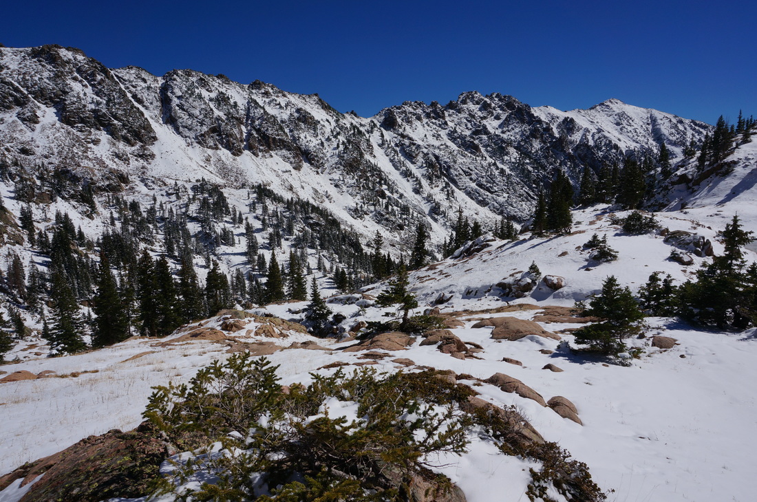
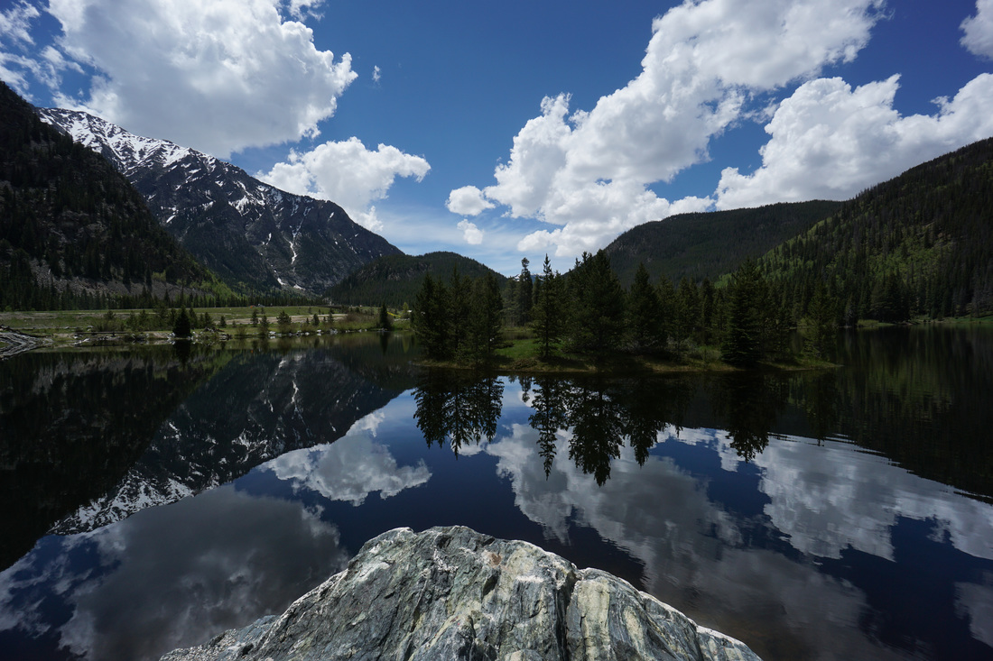
Booth Lake, Eagle's Nest Wilderness, White River National Forest
Picture
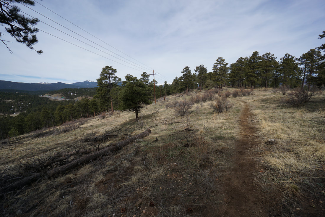
Chavez > Beaver Brook Loop, Genesee Park
Picture
Chief Hosa Loop, Genesee Park

Picture
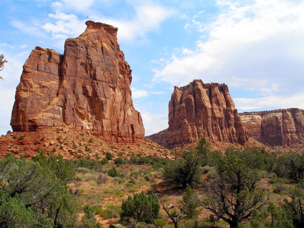
Colorado National Monument
Picture
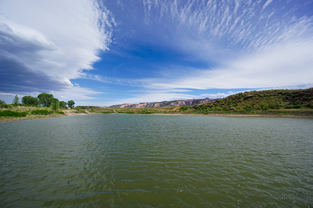
Connected Lakes, Colorado River State Park
Picture
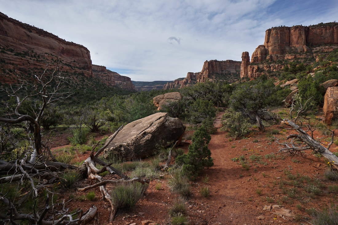
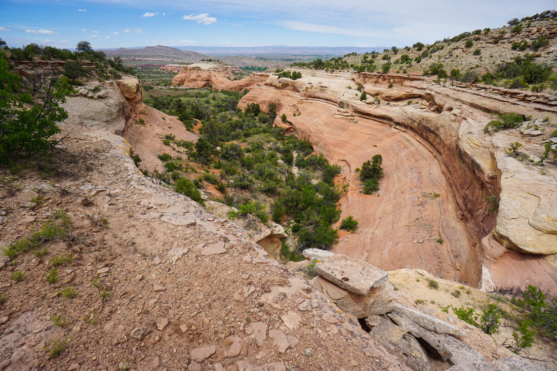
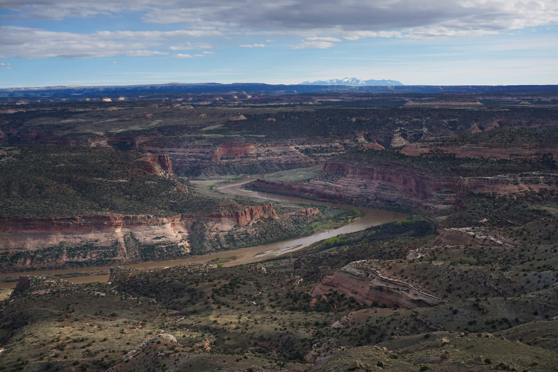
Devils Canyon, McInnis Canyons National Conservation Area
Picture
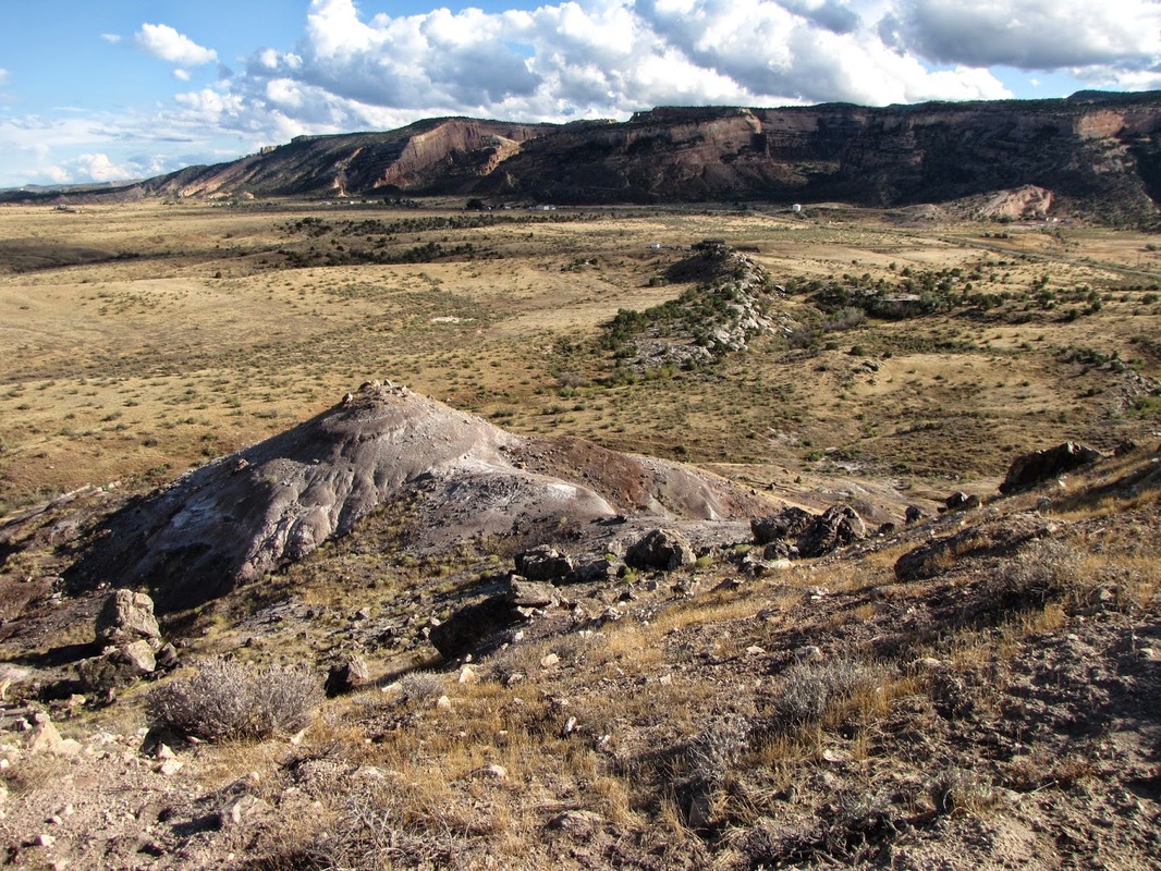
Dinosaur Hill, McInnis Canyons National Conservation Area

Picture
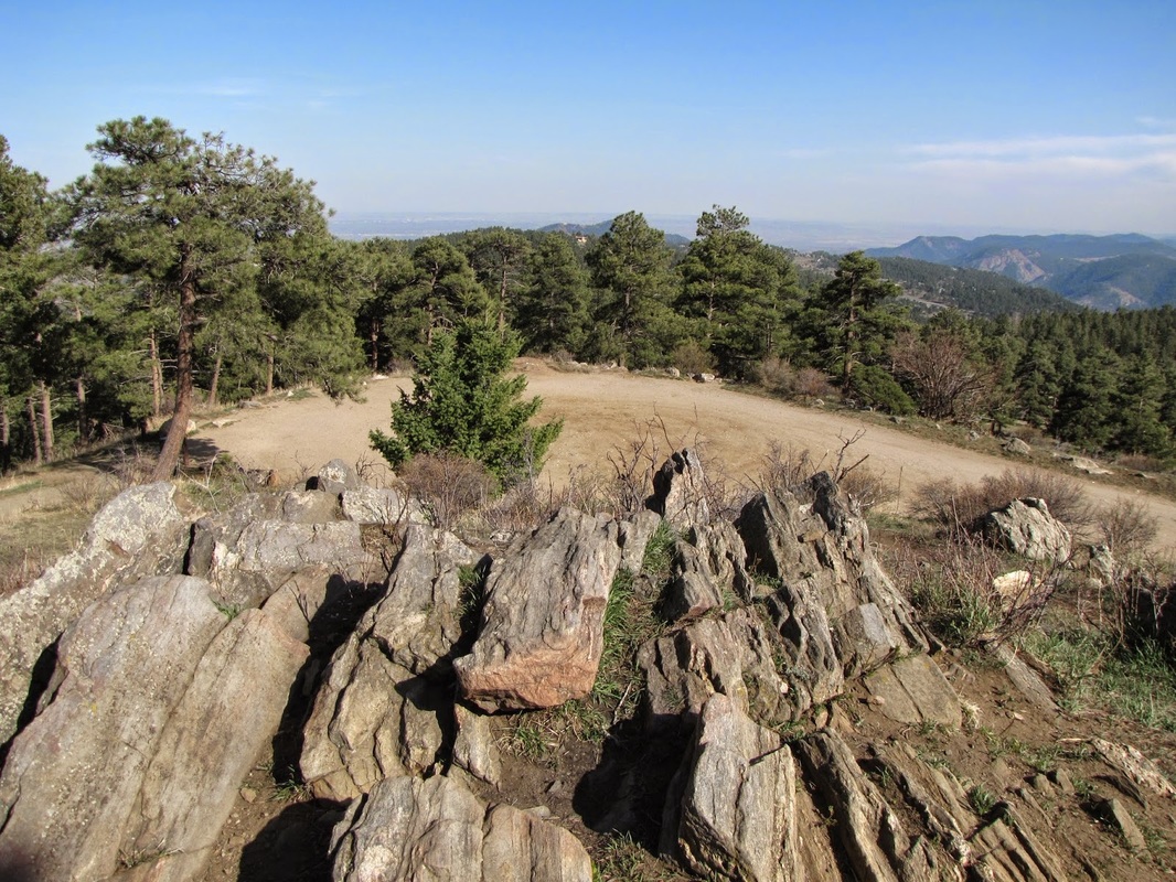
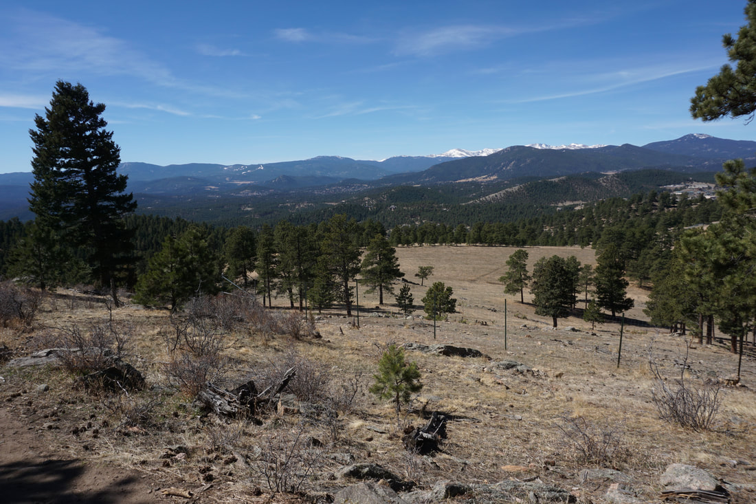
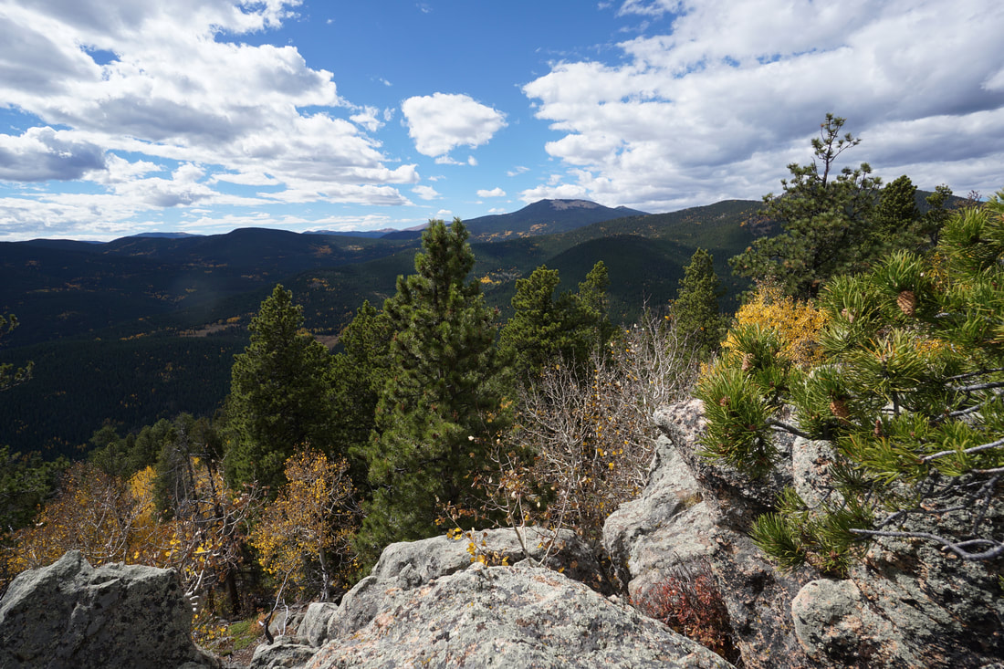
Genesee Park - Genesee Mountain
Picture
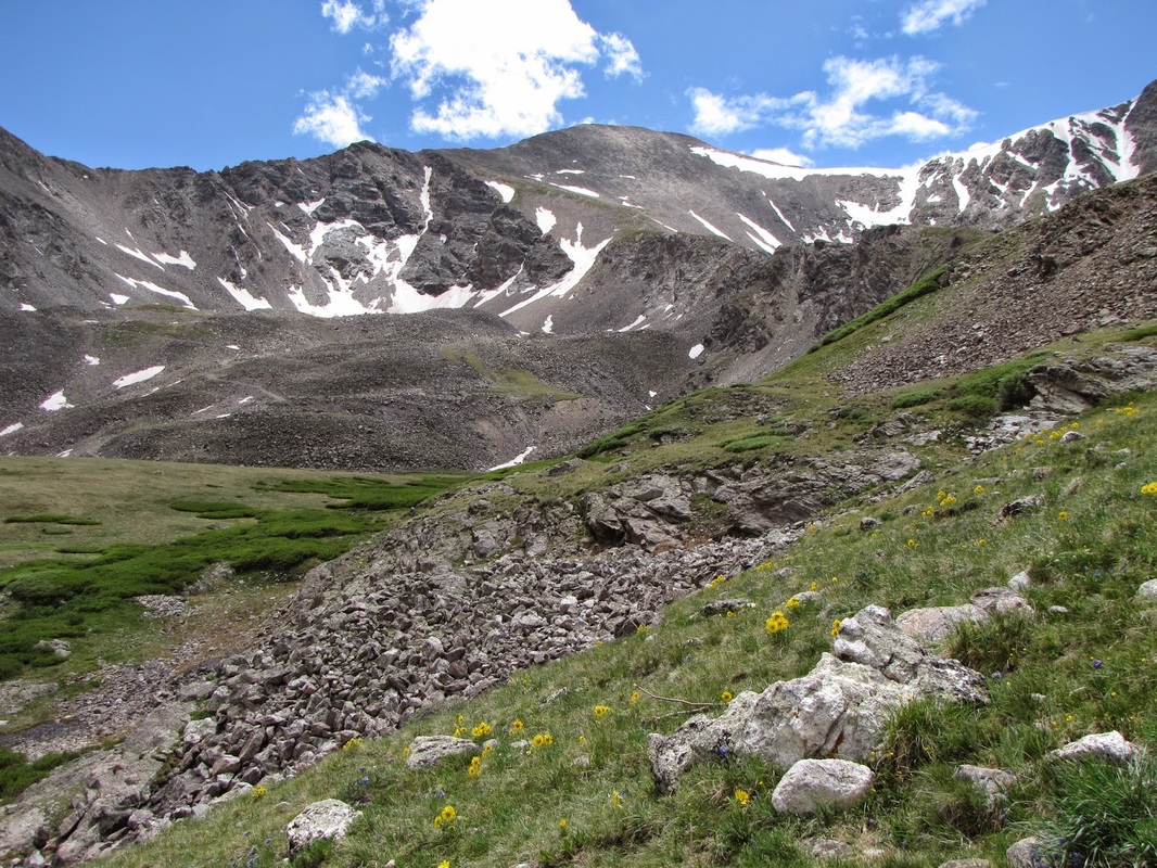
Grays Peak 14,270ft, Arapaho National Forest
Picture
Gypsum Recreation Site, BLM Public Lands
Picture
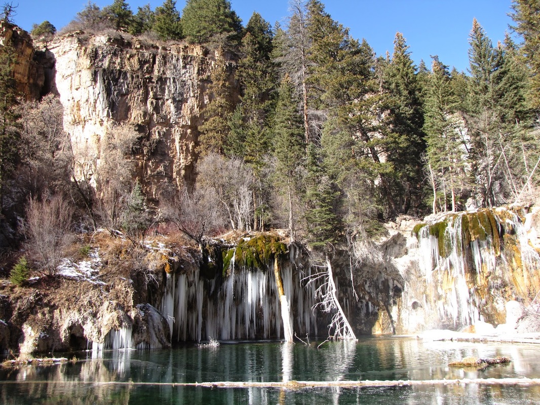
Hanging Lake, Glenwood Canyon Recreation Area

Picture
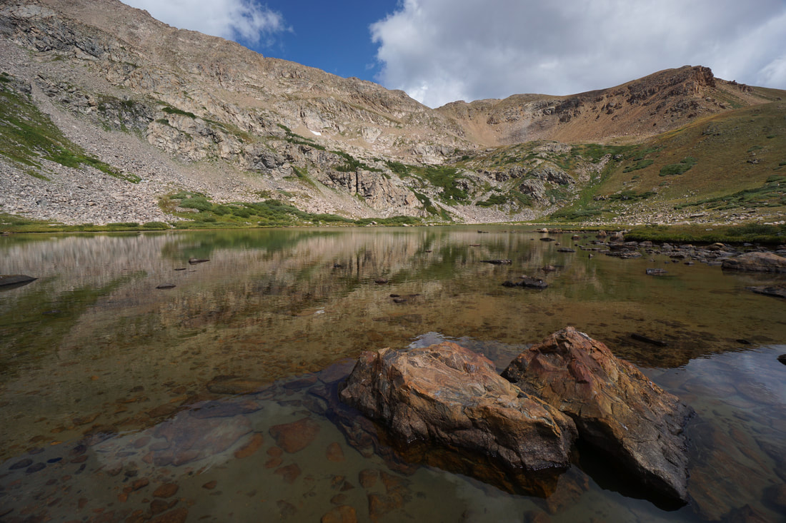
Herman Gulch & Lake, Arapaho National Forest
Picture
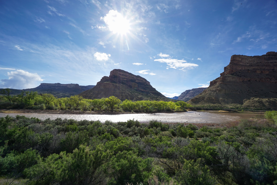
Island Acres, Colorado River State Park
Picture
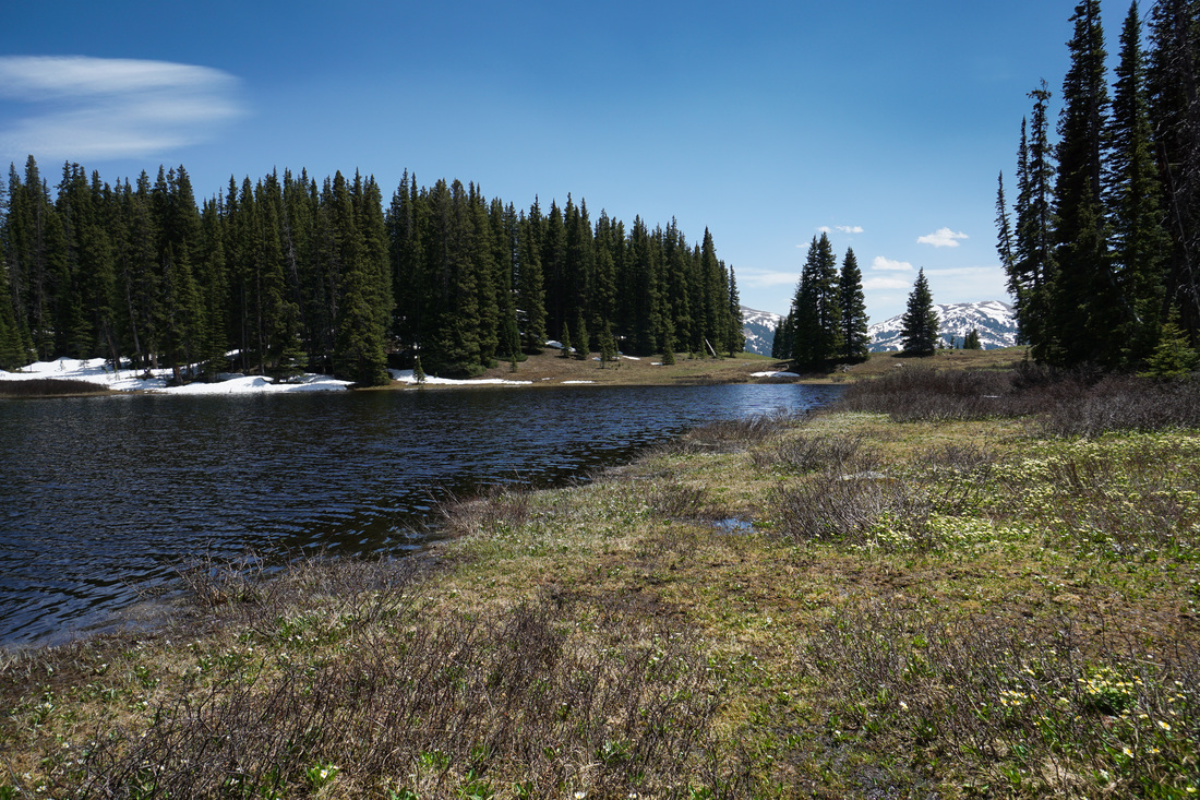
Lilly Pad Lake, Eagle's Nest Wilderness, White River National Forest
Picture
Matthews-Winters Park - Dakota Ridge Hogback

Picture
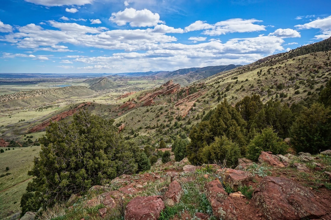
Matthews-Winters Park - Red Rocks > Morrison Slide Loop
Picture
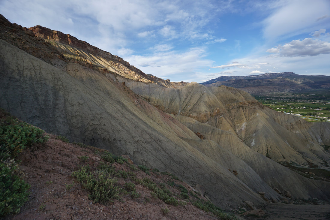
Mt. Garfield, BLM Book Cliffs Area
Picture
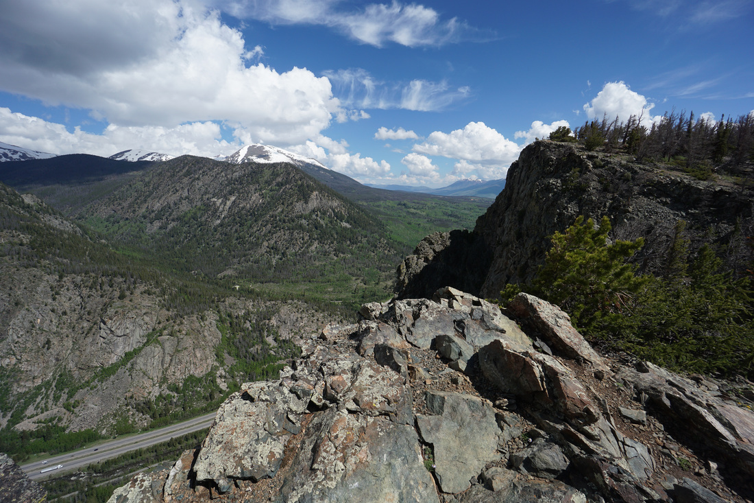
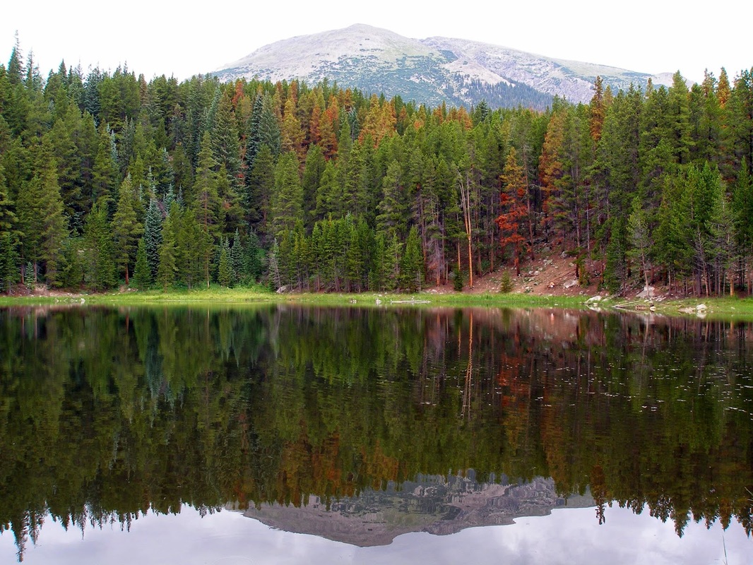
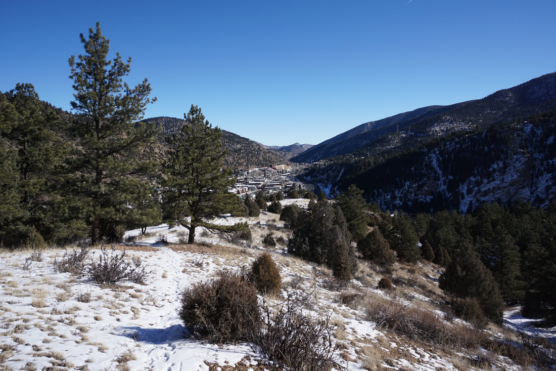
Mt. Royal, White River National Forest
Picture
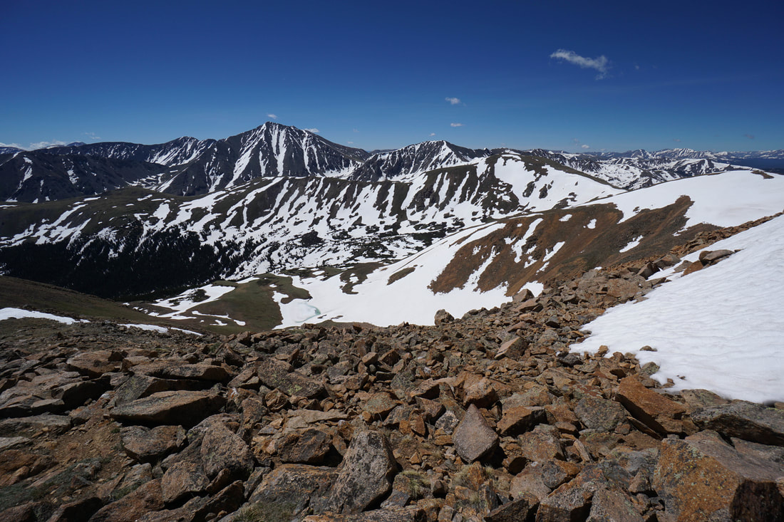
Mt. Sniktau 13,234 ft, Arapaho National Forest

Picture
Officer's Gulch Pond, White River National Forest
Picture
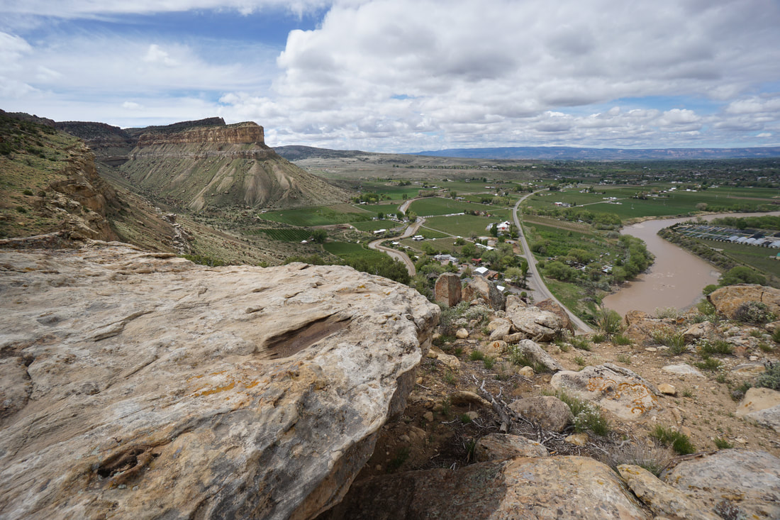
Palisade Rim Trail, BLM Public Lands
Picture
Pollock Bench Loop, McInnis Canyons National Conservation Area
Picture
Prospector Trail, Arapaho National Forest

Picture
Rabbit's Ear Mesa, McInnis Canyons National Conservation Area
Picture
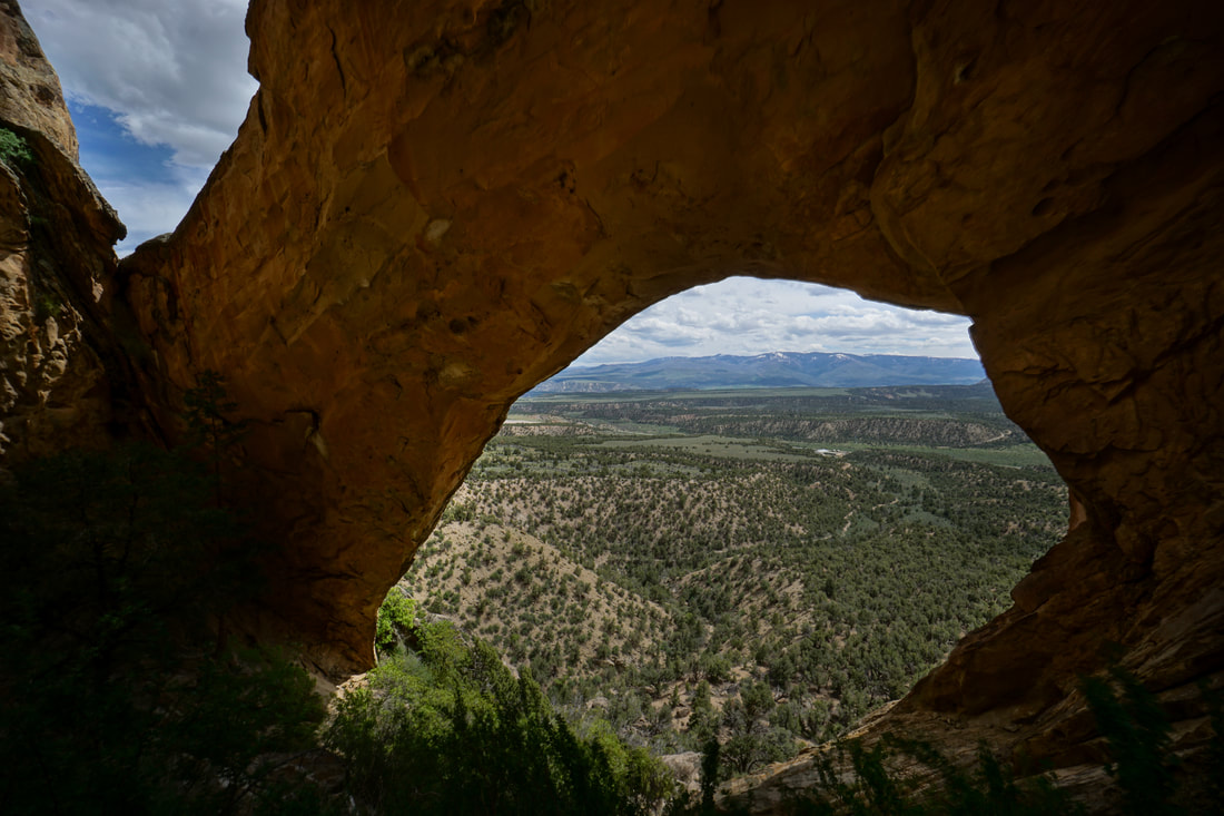
Rifle Arch, BLM Public Lands
Picture
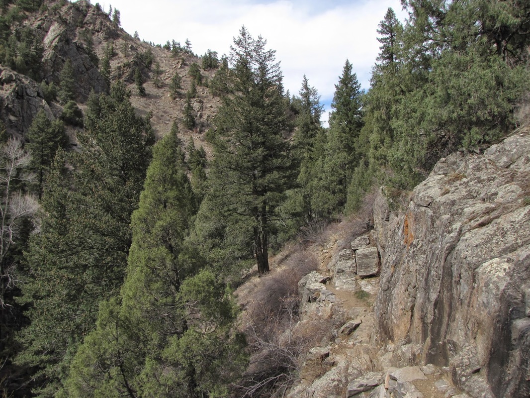
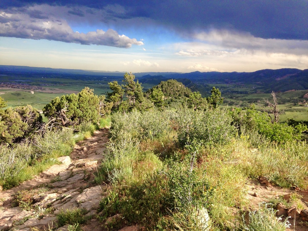
Saddleback Mountain, Beaver Brook Watershed Open Space
Picture
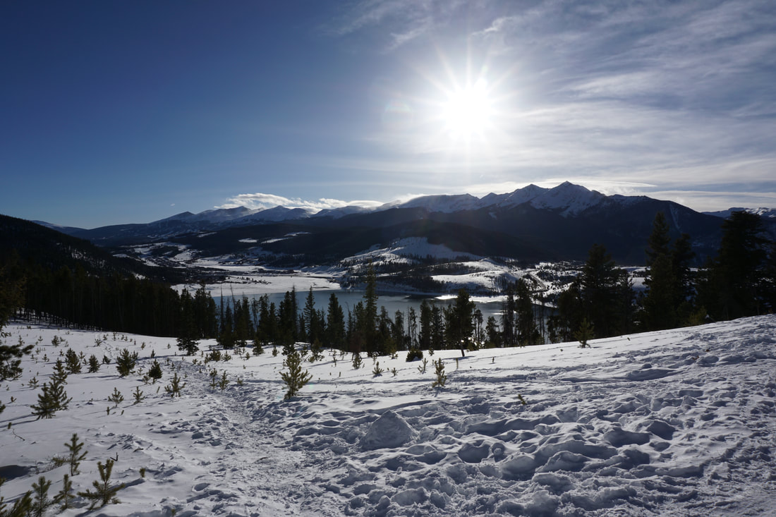
Sapphire Point, White River National Forest

Picture
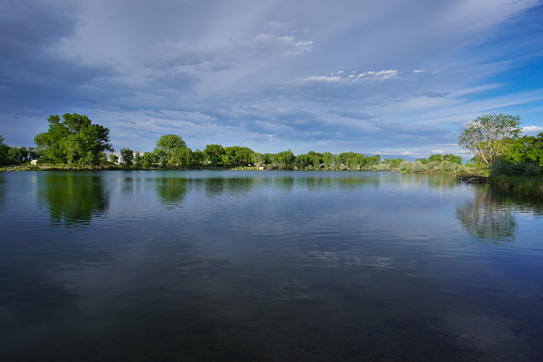
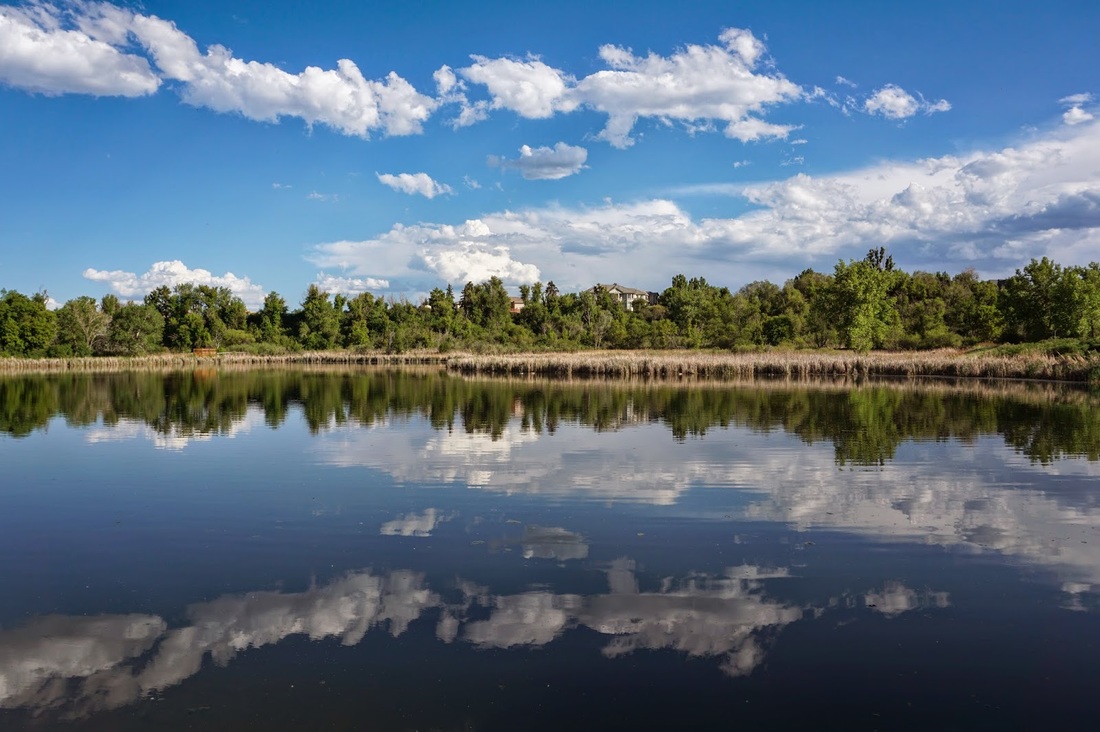
Snooks Bottom Open Space
Picture
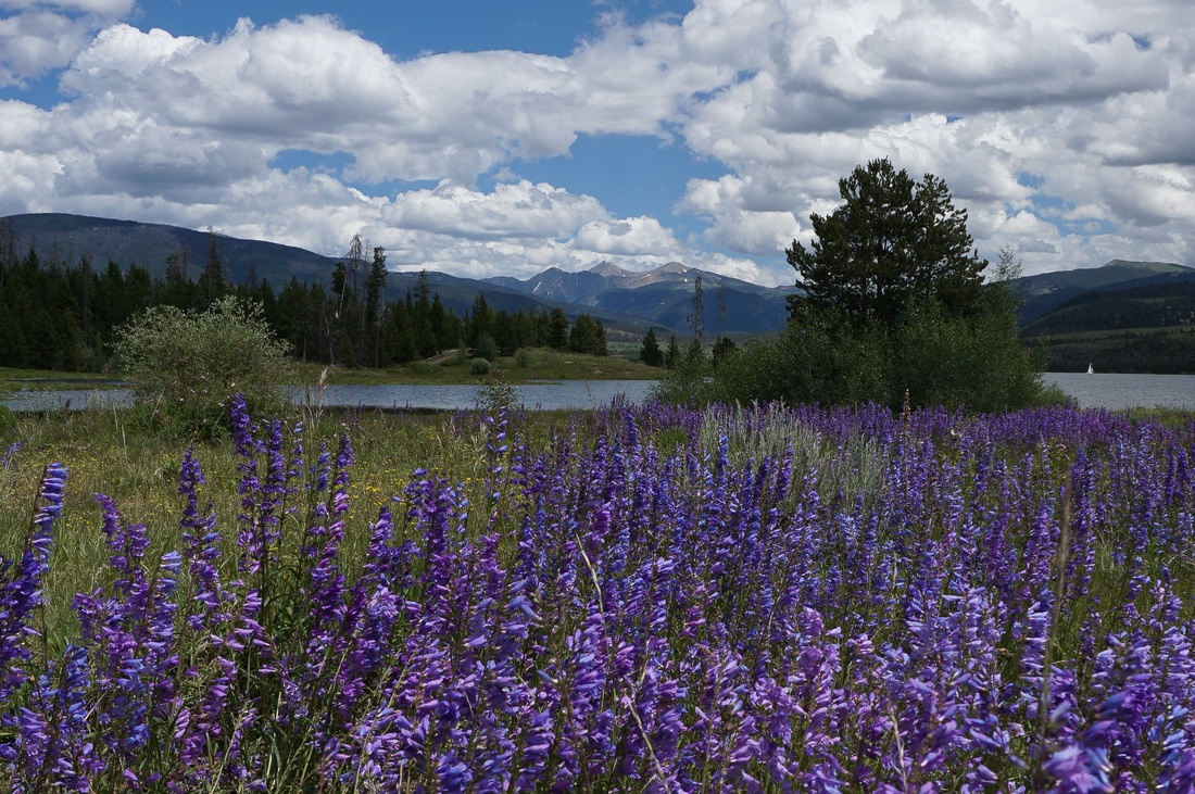
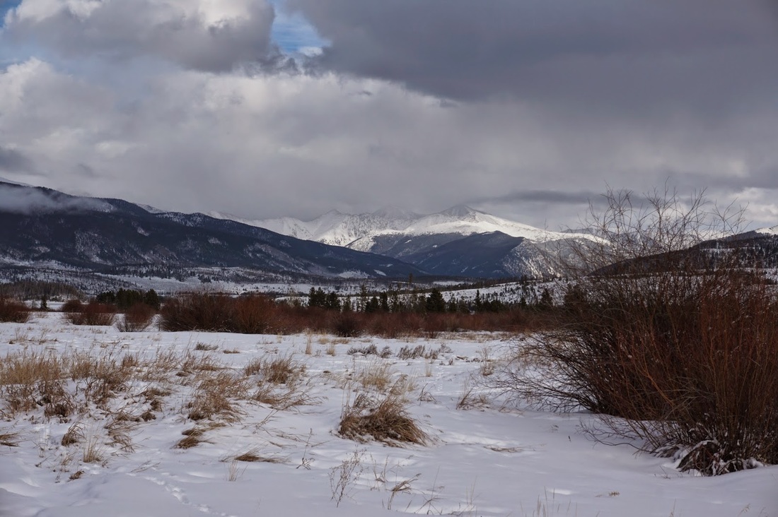
Summit County Recreation Path
Picture
West & Bass Lakes, Wheat Ridge Greenbelt
Picture
Wheeler Lakes, Eagle's Nest Wilderness, White River National Forest

Picture
Willow Preserve, Town of Frisco
© Go Hike Colorado, 2020.  All Rights Reserved. 
Use of photographs without prior authorization is
​strictly prohibited.


Contact us at:
steve@gohikecolorado.com
Legal Disclaimer - Information provided on this site is based upon our own observations, always double check information with the appropriate land management agency before heading into the backcountry.  Backcountry travel is inherently dangerous, please take all proper precautions.  Go Hike Colorado is not responsible for injury or incident.