GO HIKE COLORADO
Get in Touch:
  • HOME
  • ABOUT
  • HIKES BY REGION
    • DENVER AREA >
      • Denver Mountain Parks
      • Jefferson County Open Space
      • Lakewood Parks
      • Denver Area Greenways
    • BOULDER AREA
    • DOUGLAS COUNTY
    • FORT COLLINS AREA
    • COLORADO SPRINGS AREA
    • FRONT RANGE
    • TENMILE & MOSQUITO RANGES
    • GORE RANGE
    • SANGRE DE CRISTO MOUNTAINS
    • PARK RANGE
    • SAWATCH RANGE
    • ELK MOUNTAINS
    • SAN JUAN MOUNTAINS
    • THE FLAT TOPS
    • GRAND MESA
    • COLORADO PLATEAU
    • EASTERN PLAINS
  • NATIONAL PARK HIKES
    • BENT'S OLD FORT NATIONAL HISTORIC SITE
    • BLACK CANYON OF THE GUNNISON NATIONAL PARK
    • COLORADO NATIONAL MONUMENT
    • CURECANTI NATIONAL RECREATION AREA
    • DINOSAUR NATIONAL MONUMENT
    • FLORISSANT FOSSIL BEDS NATIONAL MONUMENT
    • MESA VERDE NATIONAL PARK
    • ROCKY MOUNTAIN NATIONAL PARK
    • GREAT SAND DUNES NATIONAL PARK
    • HOVENWEEP NATIONAL MONUMENT
    • SAND CREEK MASSACRE NATIONAL HISTORIC SITE
    • YUCCA HOUSE NATIONAL MONUMENT
  • HIKES BY CATEGORY
    • HIKES TO ALPINE LAKES
    • HIKES TO PEAKS & PASSES
    • HIKES THROUGH CANYONS
    • HIKES WITH FALL COLORS
    • HIKES ALONG THE I-70 CORRIDOR
    • HIKES ON PAVED TRAILS
    • HIKES FOR KIDS
    • HIKES TO WATERFALLS
    • HIKES ALONG RIVERS
    • HIKES WITH ROCK FORMATIONS
    • HIKES WITH WILDFLOWERS
    • WINTER HIKES
  • NEWS
  • WEBCAMS
  • $UPPORT GHC
  • INTERACTIVE MAP

Chief Hosa Loop
Genesee Park

Date Hiked: April 8, 2016

Distance: 1.6 mi (RT)
Elevation Gain: 340ft
Elevation MIn/Max: 7,653 to 7,913 ft
Trailhead Lat/Long: 39º 42' 44" N;105º 18' 50" W​ 
Managing Agency: Denver Mountain Parks
​Fee: None

Genesee Park Webpage
Picture

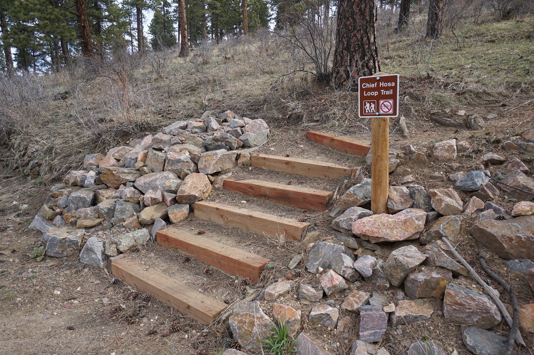
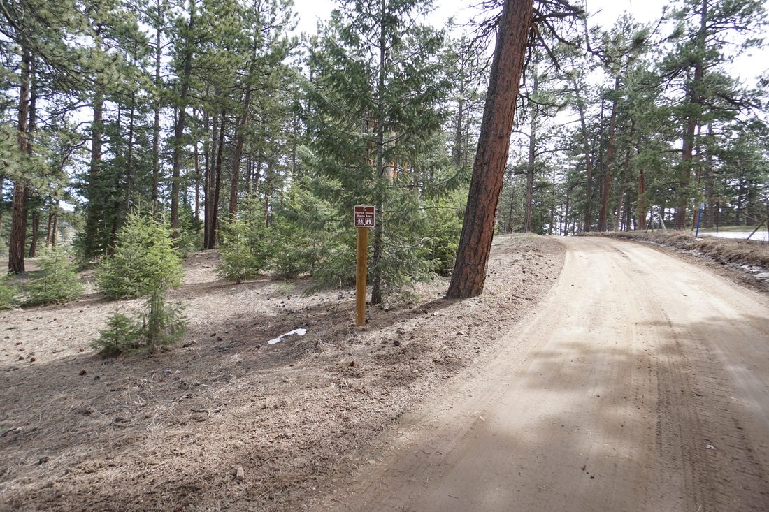
Directions:  From Denver take I-70 west to Exit 253, Chief Hosa.  Exit the highway and turn left over the highway.  Continue straight into Genesee Park and make your first left.  Follow the road to the small turnout before the closure gate and the Chief Hosa Loop Trailhead. 

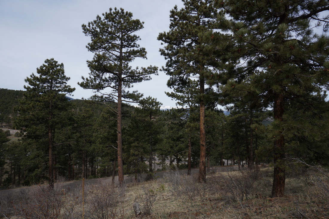
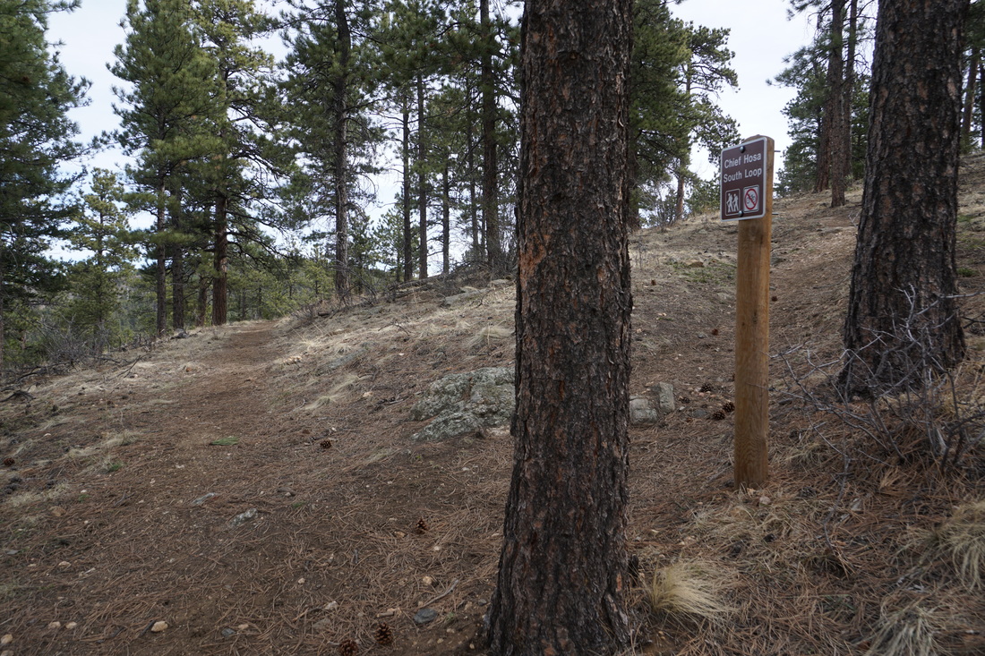
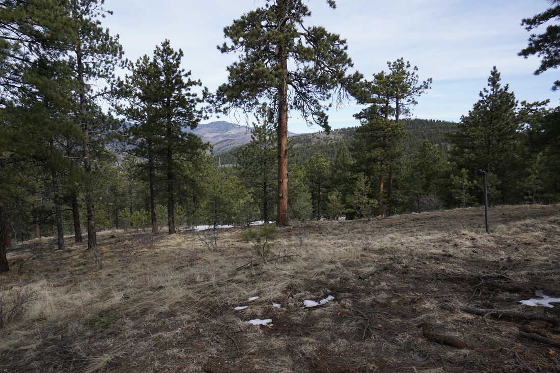
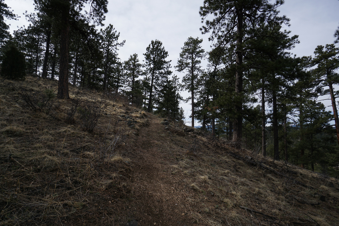
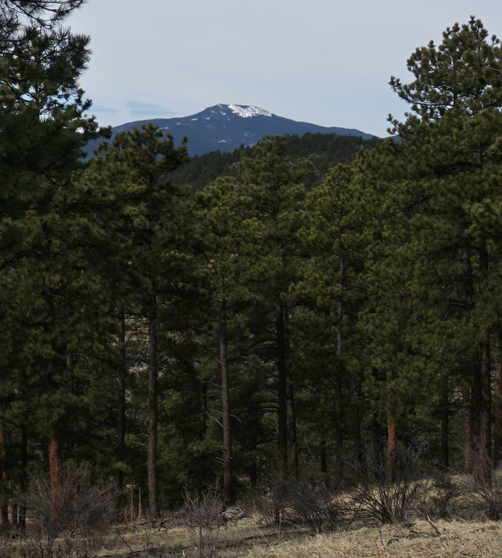
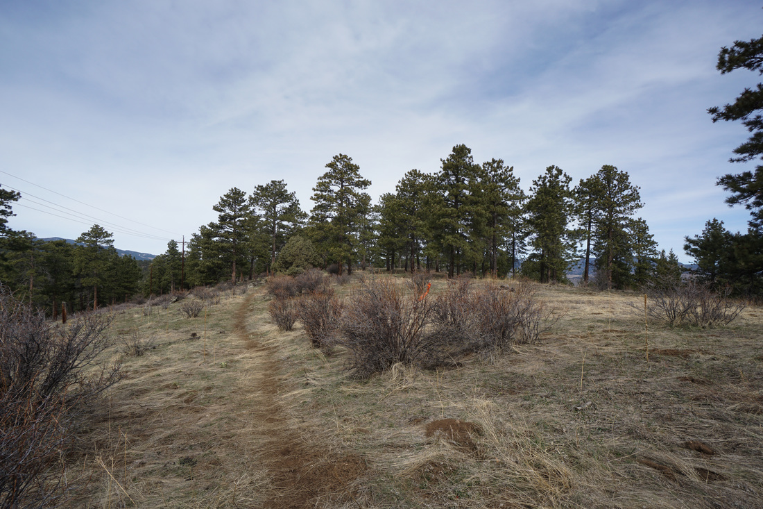
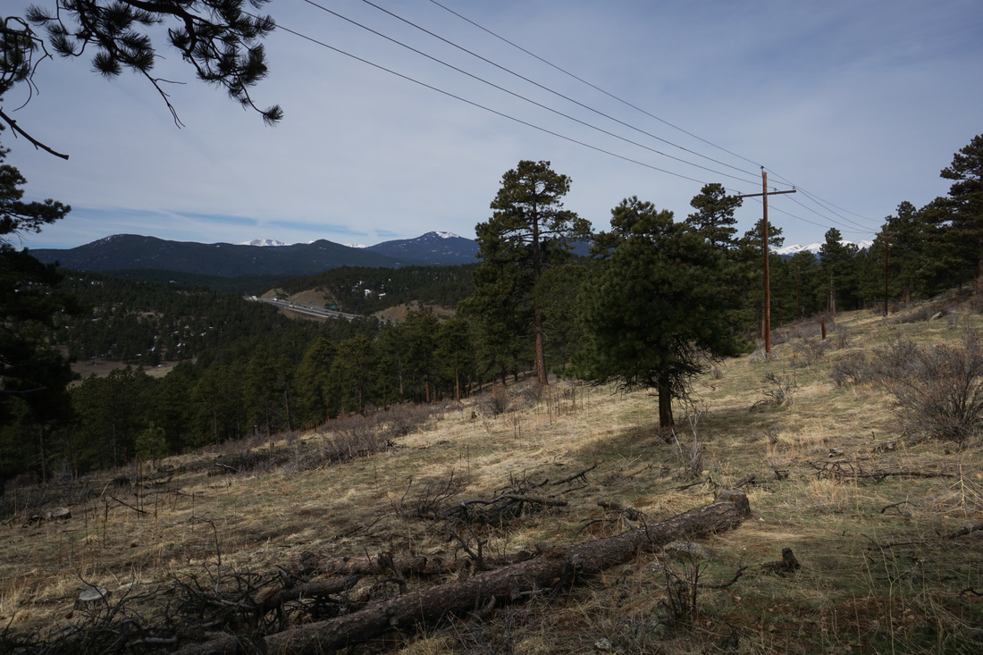
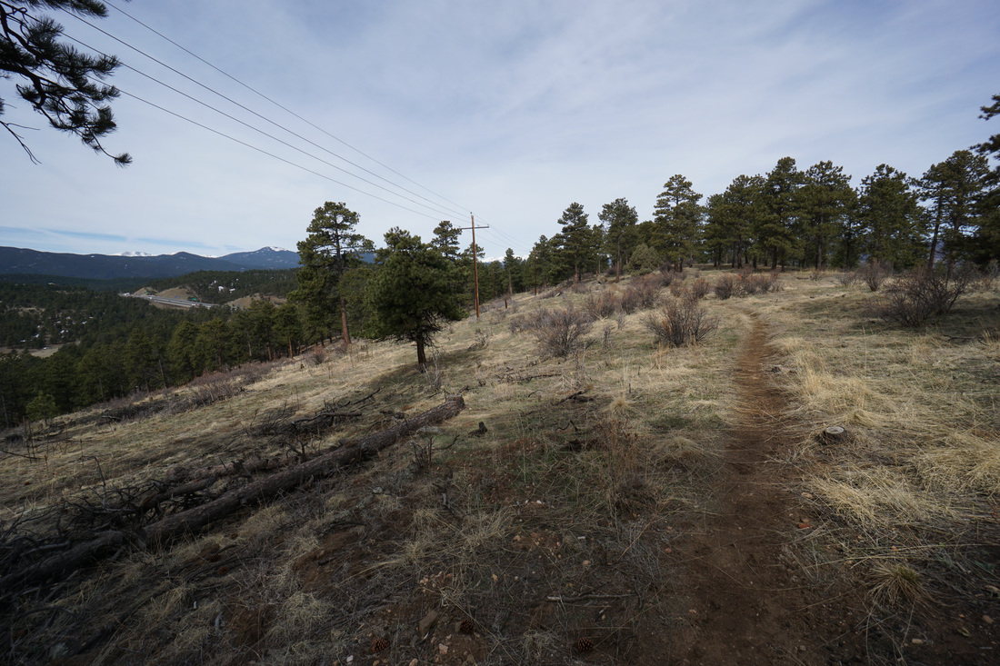
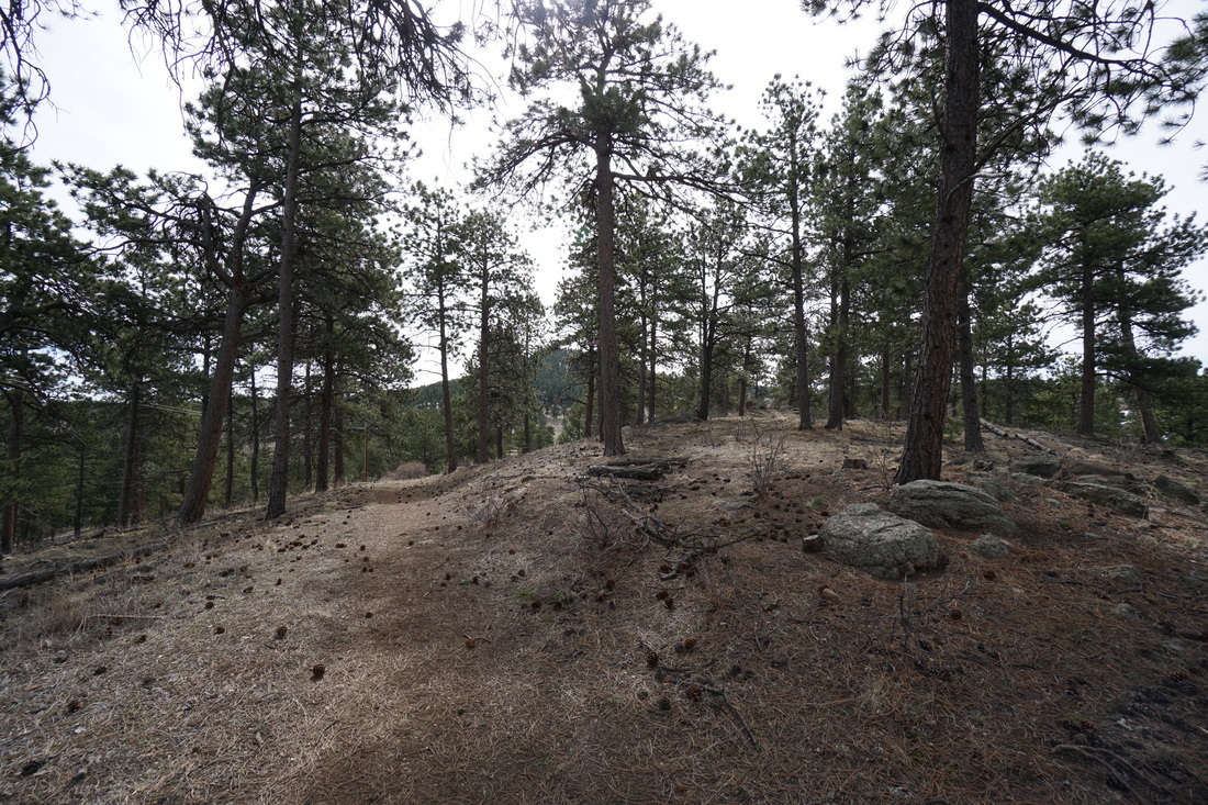
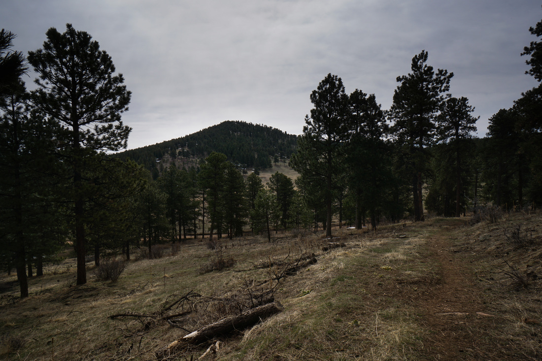
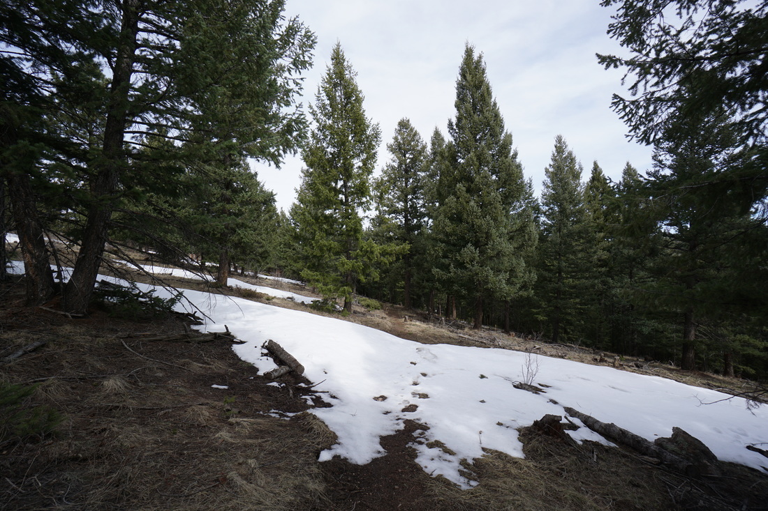
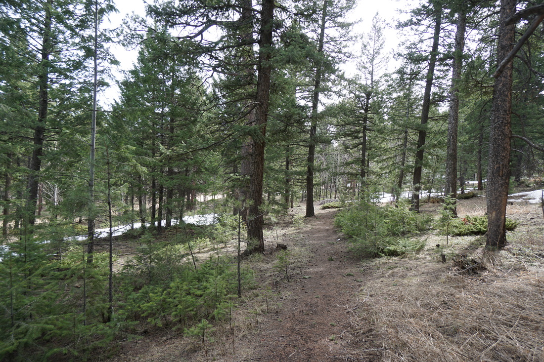
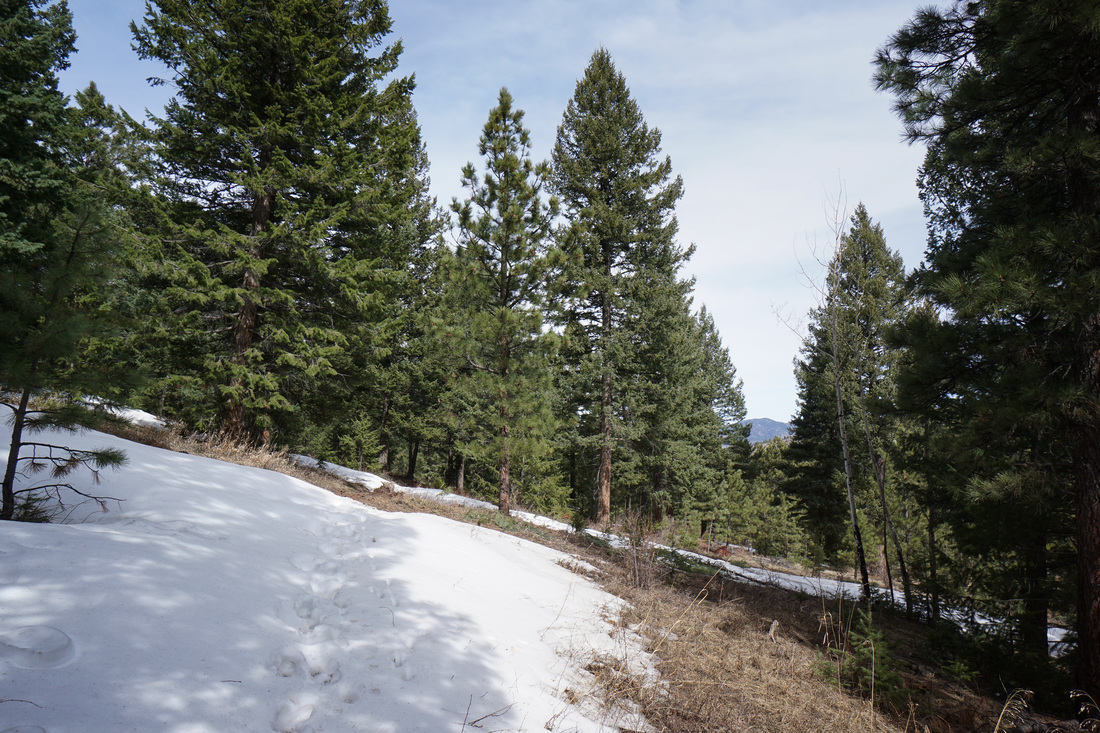
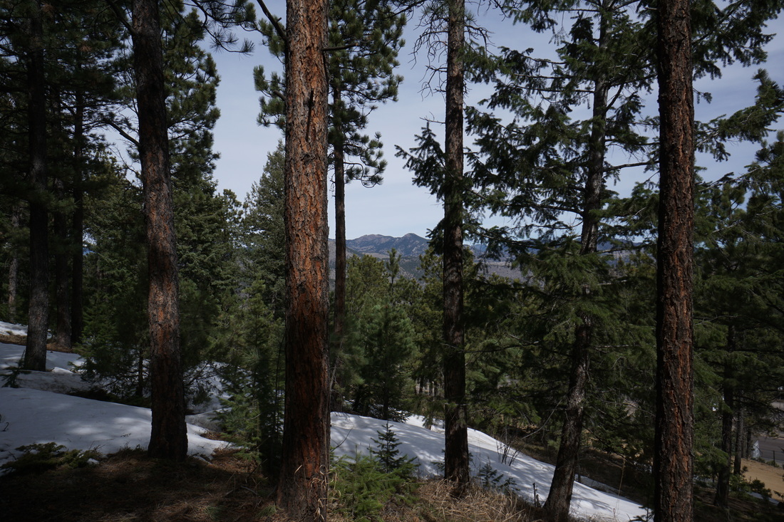
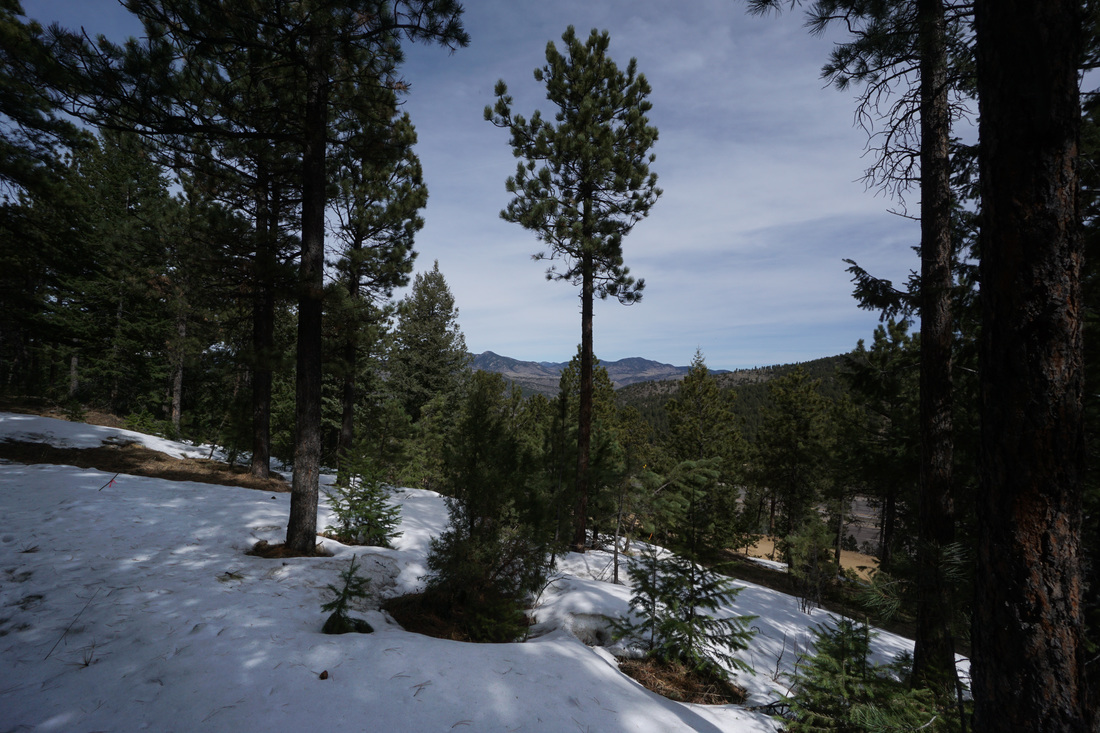
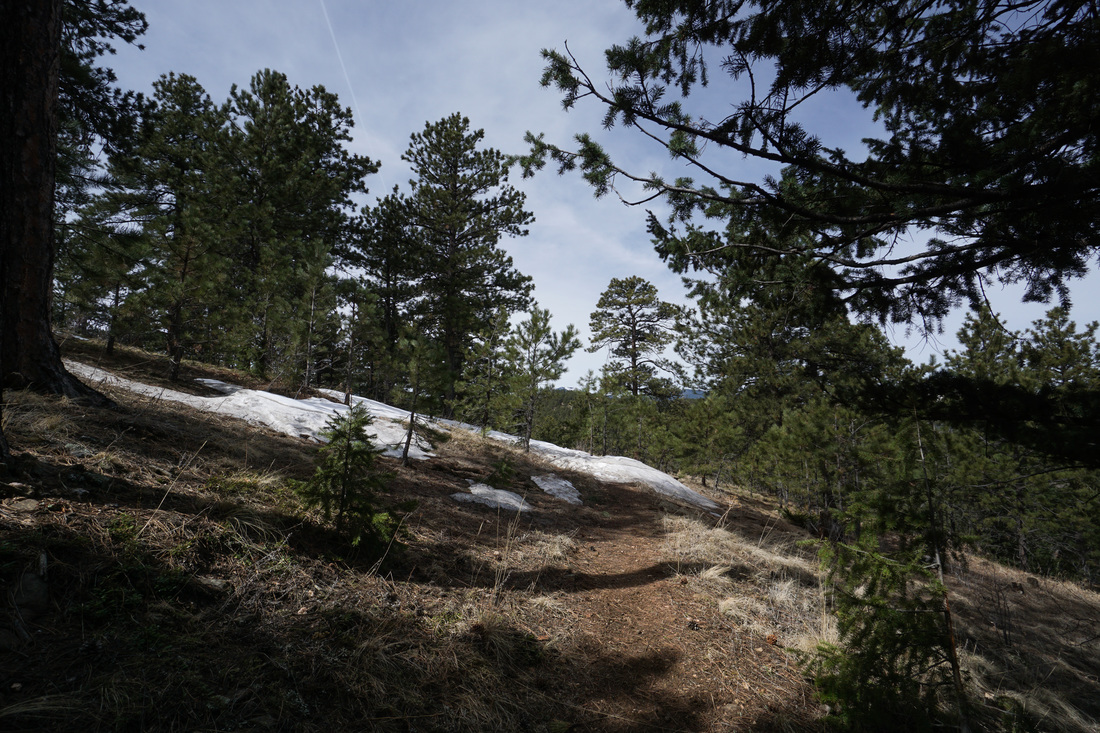
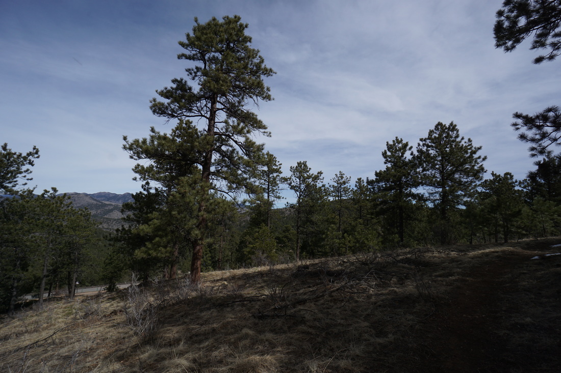
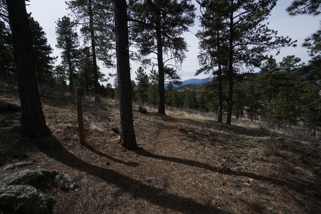
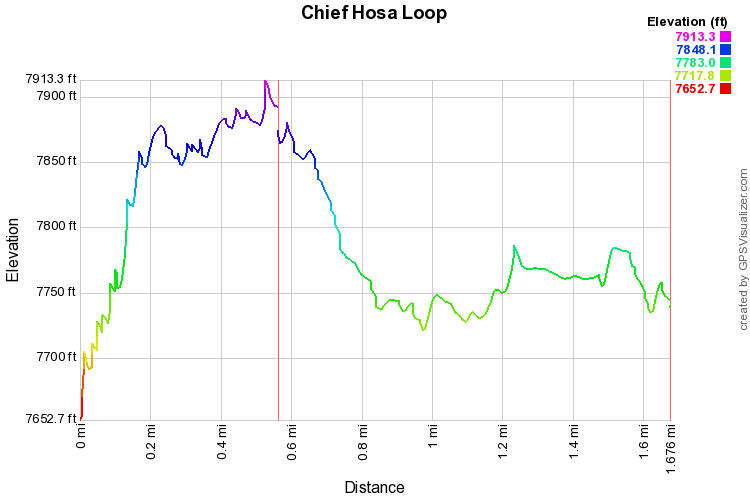
The Chief Hosa Loop is a short but sweet wooded trail located just next to the popular Chief Hosa Campground and Lodge.  The trail climbs up to the crest of a ridge with nice views west to Squaw Mt. and Mount Evans.  Follow the ridge to the east until the trail begins to descend.  At an unsigned (but obvious) intersection, turn right to continue downhill.  If you follow the trail for a few feet before turning off, you'll be rewarded with nice views of Genesee Mountain.

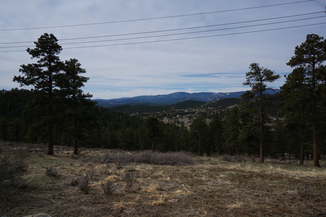
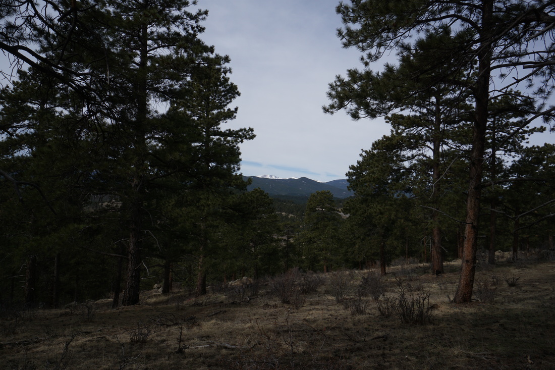
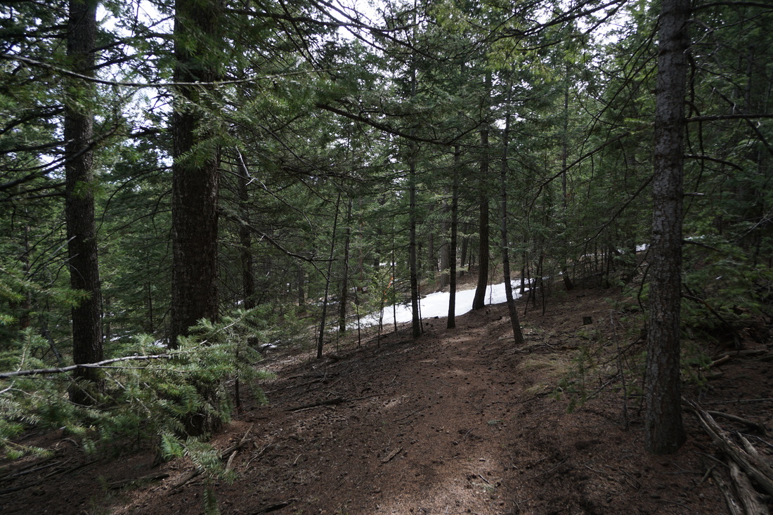
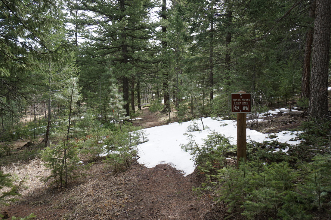
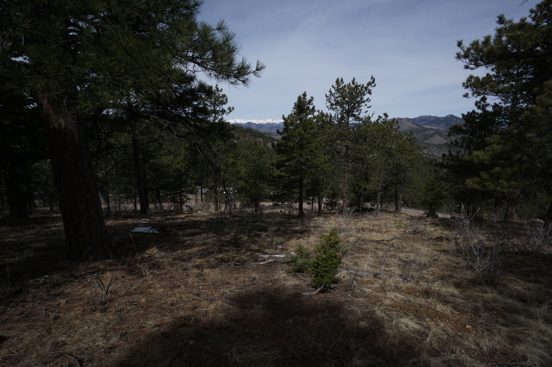
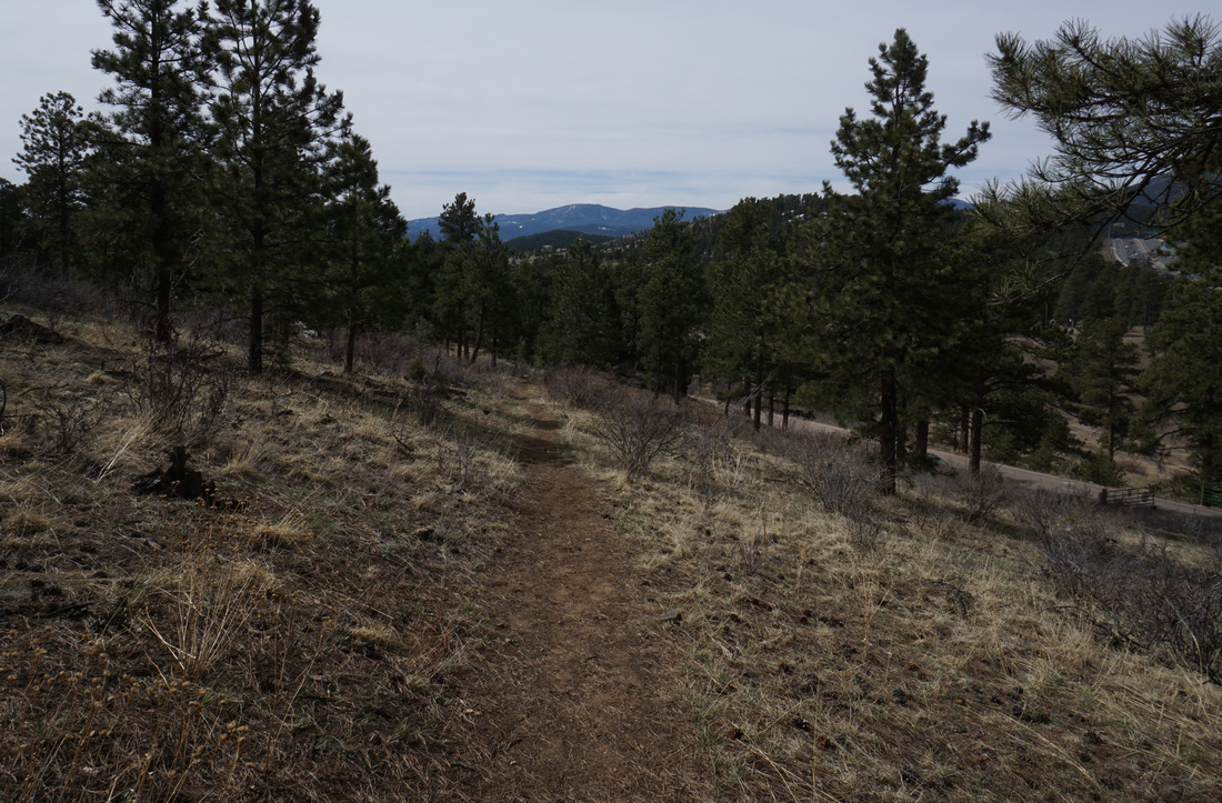
As you descend into thicker Pine forest, a side trail marked as the trail to "Patrick House Bison Area" leads off to the east.  This short side-trail takes you to the Bison Viewing area, which...sometimes...has Bison in it...  When you make your way back to the loop, continue west for nice views of James Peak and the Continental Divide.  Soon the trail will return you back to the trailhead.

The Chief Hosa Loop may not be the nicest trail in the park, see the Beaver Brook/Chavez Loop for that.  However, this is a great hike for kids and families visiting the campground or just anyone looking to stretch their legs in a nice wooded setting with good mountain views, and very close to Denver.
© Go Hike Colorado, 2020.  All Rights Reserved. 
Use of photographs without prior authorization is
​strictly prohibited.


Contact us at:
[email protected]
Legal Disclaimer - Information provided on this site is based upon our own observations, always double check information with the appropriate land management agency before heading into the backcountry.  Backcountry travel is inherently dangerous, please take all proper precautions.  Go Hike Colorado is not responsible for injury or incident.