
|
|
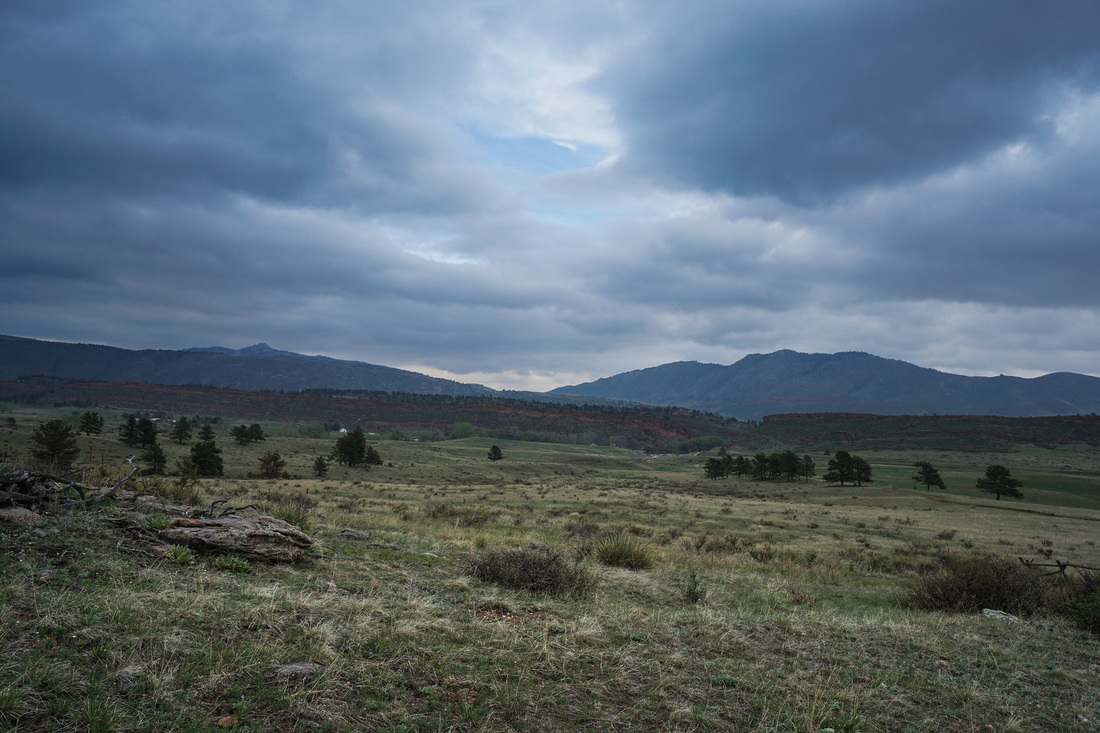
Lory State Park |
|
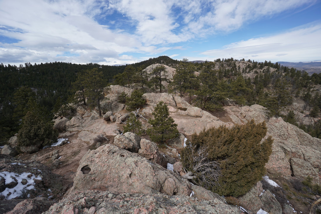
Arthur's Rock Trail
3.4 mi (RT); 1,155 ft elevation gain |
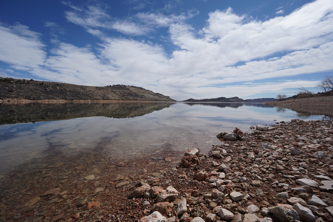
Shoreline Trail
1.6 mi (RT); 300 ft elevation gain |
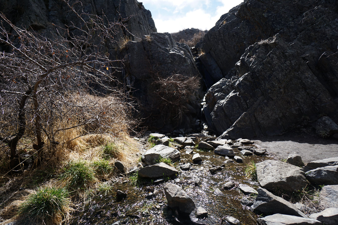
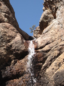
Waterfall Trail
.2 mi (RT); minimal elevation gain |
|
|
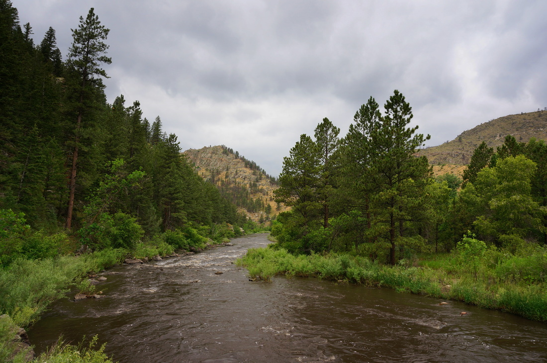
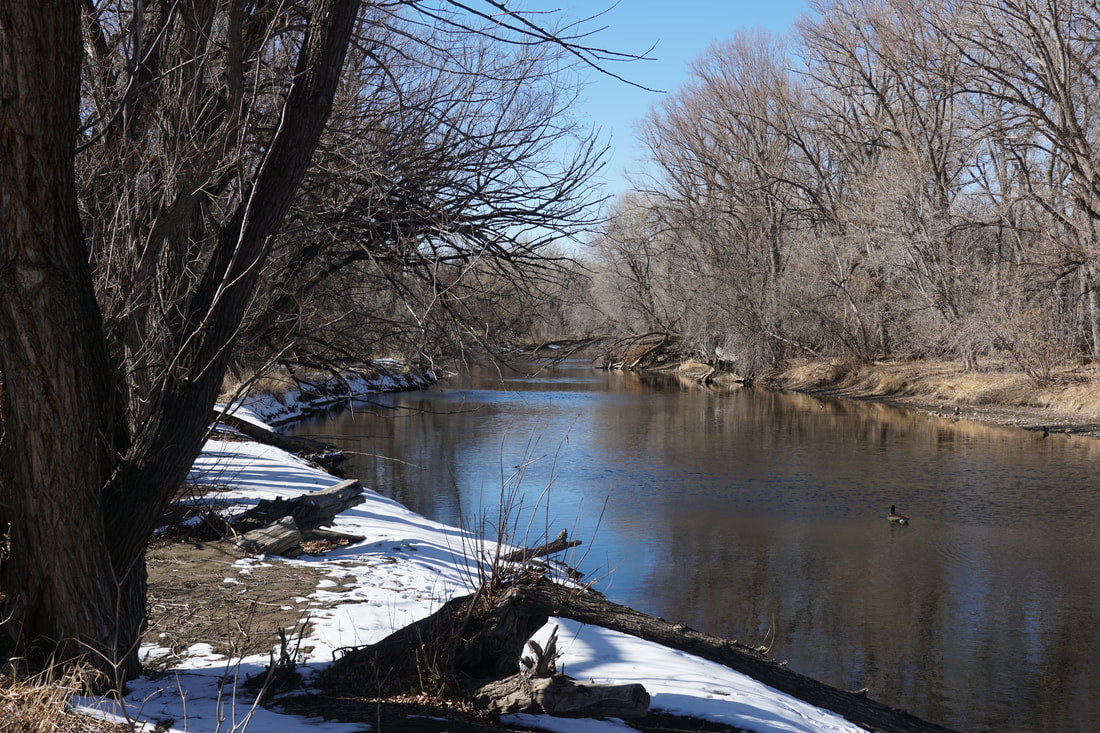
City of Fort Collins Natural Areas |
|
Arapaho Bend Natural Area
1.5 mi (RT); minimal elevation gain |
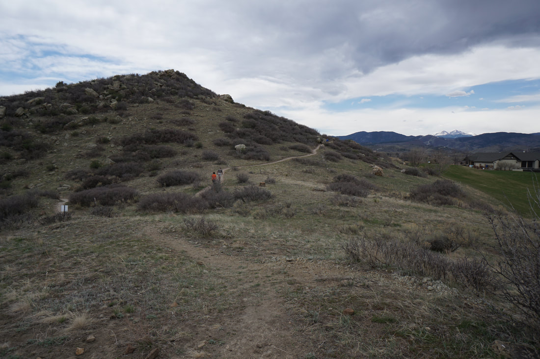
Bobcat Ridge Natural Area
Valley View Loop 4.4 mi (RT); 575 ft elevation gain |
Gateway Natural Area
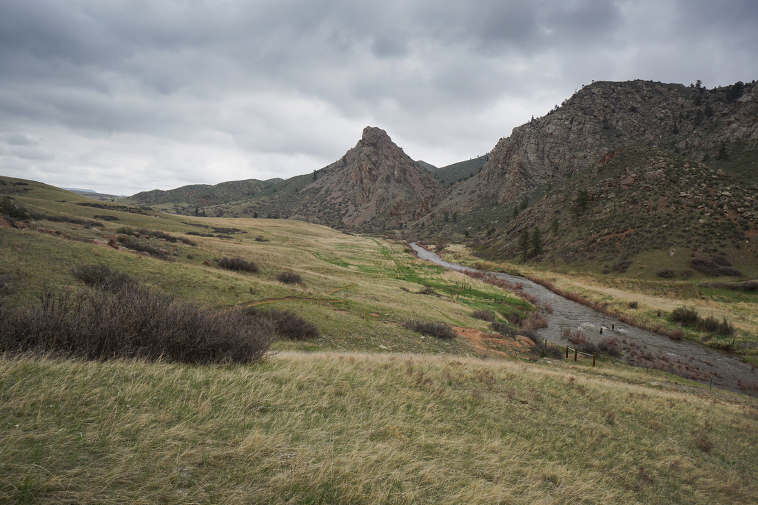
Seaman Reservoir 2.2 mi (RT); 250 ft elevation gain |
Kingfisher Point Natural Area
2.2 mi (RT); minimal elevation gain |
Maxwell Natural Area
"A" Overlook Trail 1.2 mi (RT); 250 ft elevation gain |
Reservoir Ridge Natural Area
North Loop & Foothills Trail 2.6 mi (RT); 440 ft elevation gain |
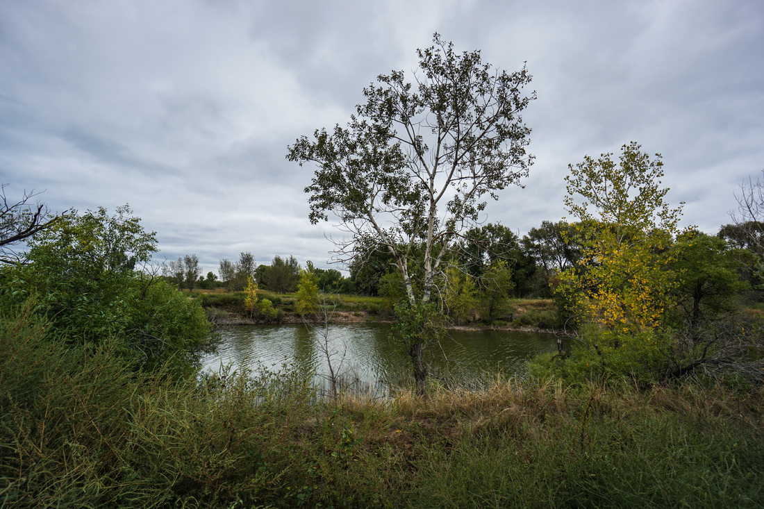
Riverbend Ponds Natural Area
Big Pond & Wiper Pond Loop 2.3 mi (RT); minimal elevation gain |
Running Deer Natural Area
Historic Fire Lookout 2 mi (RT); minimal elevation gain |
|
|
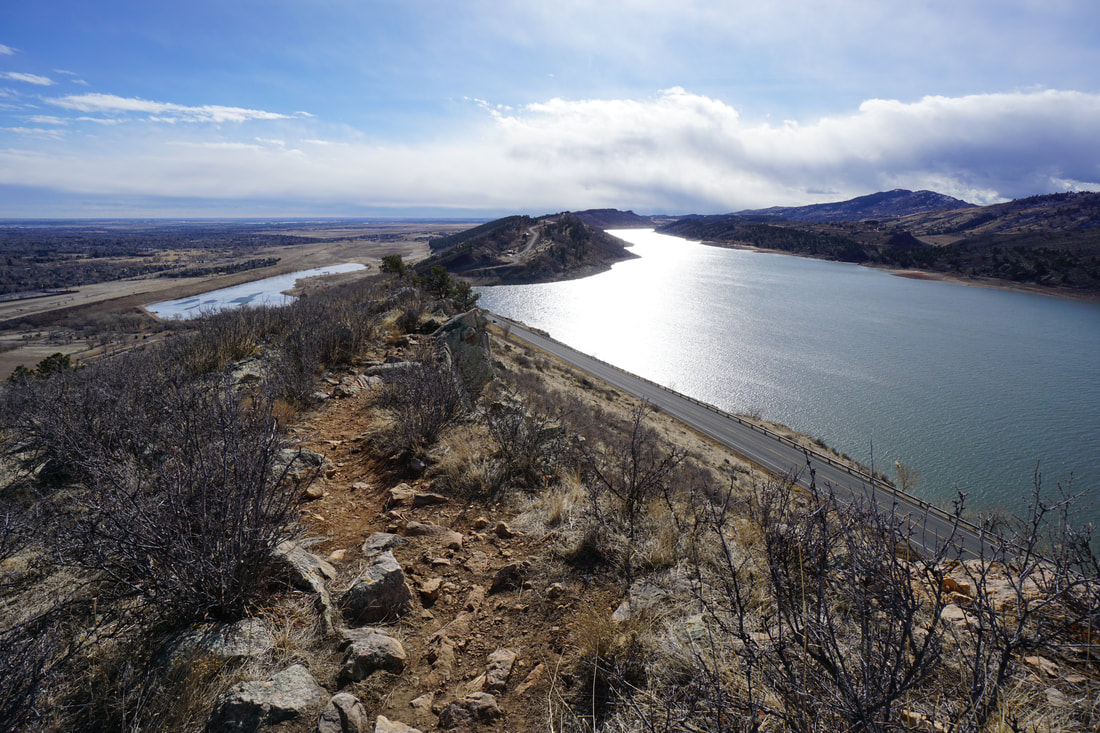
Larimer County Open Space |
|
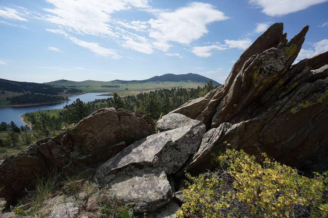
Carter Lake County Park
Sundance Trail 2 mi (RT); 191 ft elevation gain |

Devil's Backbone Open Space
Wild, Hunter & Laughing Horse Loop 6.3 mi (RT); 600 ft elevation gain |
Eagle's Nest Open Space
3 Bar > OT Trail Loop 5.1 mi (RT); 900 ft elevation gain |
Hermit Park Open Space
Kruger Rock Trail 3.7 mi (RT); 1,137 ft elevation gain |
Horsetooth Mountain Open Space
Horsetooth Falls Loop 3.5 mi (RT); 500 ft elevation gain |

Horsetooth Mountain Open Space
Horsetooth Rock Trail 5 mi (RT); 1,573 ft elevation gain |
Horsetooth Mountain Open Space
Shoreline Trail to Dixon Cove 2.2 mi (RT); 150 ft elevation gain |
Ramsay-Shockey Open Space
Shoshone Loop 2.7 mi (RT); 450 ft elevation gain |
|
|
Other Fort Collins Area Hikes |
|
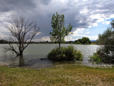
Boyd Lake State Park
Grassland Loop Trail .4 mi (RT); minimal elevation gain |
Mariana Butte via Hidden Hogback Trail
Mariana Butte Natural Area - City of Loveland 2 mi (RT); 400 ft elevation gain |
