|
DIRECTIONS: From I-25 take the Harmony Road exit and head west on Harmony Road all the way until it turns into County Rd 38. Continue west on 38 as it winds it's way up to Horsetooth Reservoir. At the fork in the road at the reservoir, head straight (bear left) following the signs to Horsetooth Mt. Open Space. Continue on 38 until you reach the Horsetooth Mt. Open Space entrance, parking lot, and trailhead.
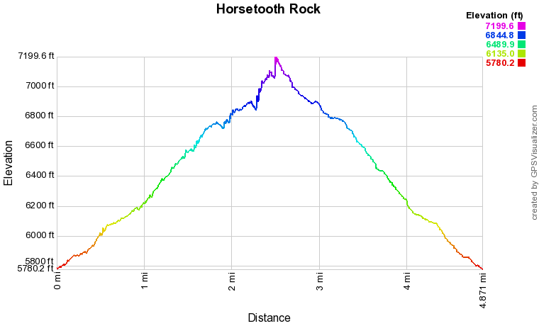
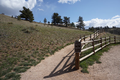
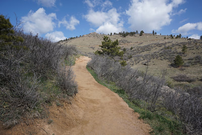
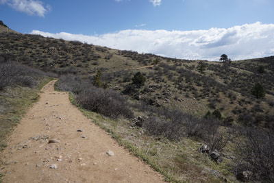
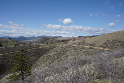
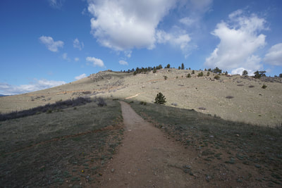
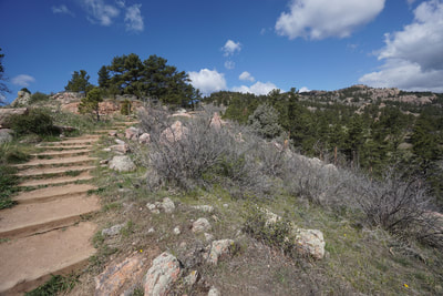
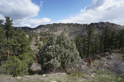
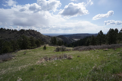
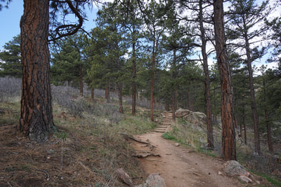
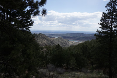
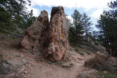
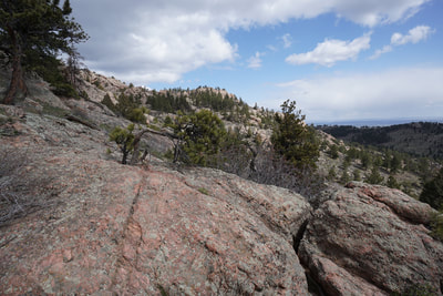
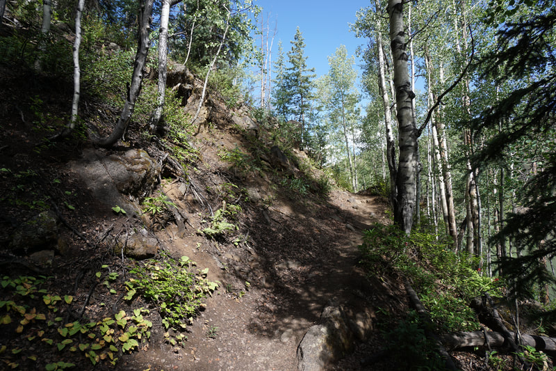
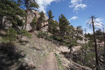
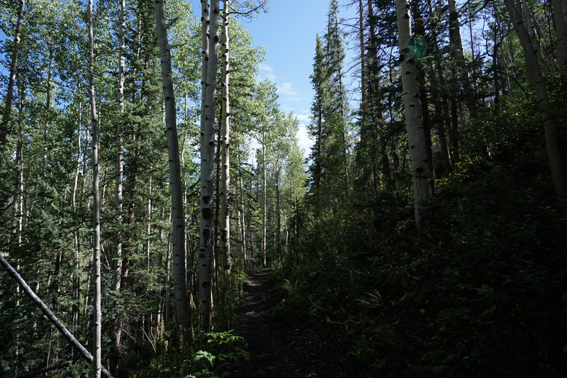
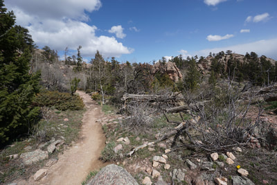
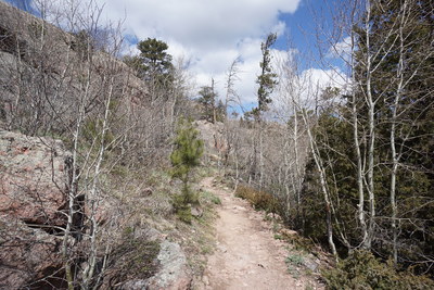
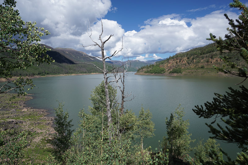
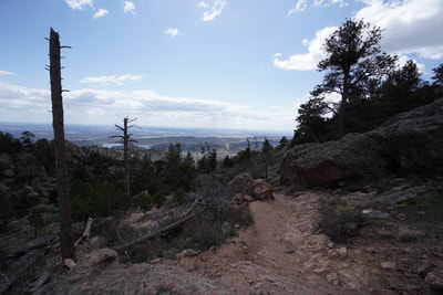
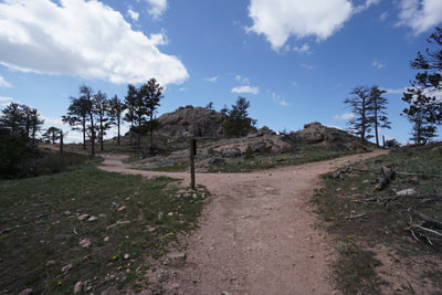
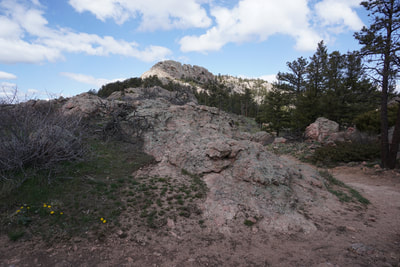
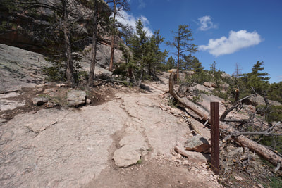
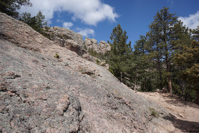
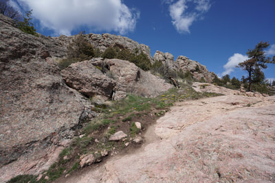
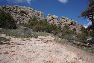
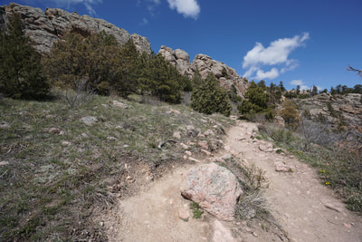
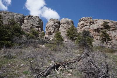
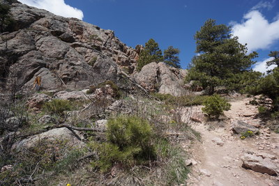
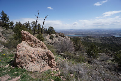
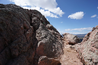
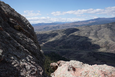
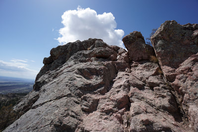
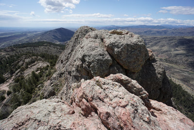
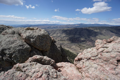
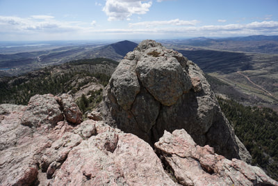
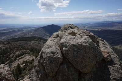
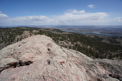
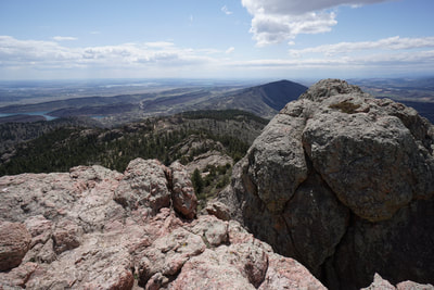
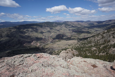
Horsetooth Rock is Fort Collin's most iconic landmark. The large jagged peak is visible from just about everywhere in Fort Collins. The hike to the top of the rock is wonderful and not too difficult. The trail is well marked and easy to follow until you reach the slickrock section near the base of Horsetooth Rock. From here you need to do a little cairn and route finding followed by a thrilling scramble to the top of Horsetooth Rock. The scenery and the views are just about the finest in Fort Collins. From the parking area, there are two traiheads, the South Ridge Trail (multiple use) and the Horsetooth Rock Trail (hiker only). Either trail will get you to Horsetooth Rock but follow the Horsetooth Rock Trail for a bike-free hike. The trail winds up the exposed hillside to the junction with the Horsetooth Falls Trail. Continue up and over a saddle with tremendous views and enter the forested section of the hike. Soon the trail will lead to a series of rock outcrops with even more tremendous views and a four-way trail junction. Follow the signs for foot traffic only. From here the trail gets really interesting. The next section starts by winding through an enormous rock garden with boulders, towers, and even some aspen groves. At the next trail junction head to the right and you'll get your first views of Horsetooth Rock. Continue towards the towering rock formation as the trail starts to traverse slickrock. The route is fairly obvious and the trail starts again soon after the rock section. Follow the trail all the way past the rock formation to the northern base. Once the trail ends, the fun begins. Climb up the rock face, again it's obvious where to go. You'll need to use your hands here for a brief class 3 climb to the top of the ridge. The summit ridge is exposed, but wide enough to be safe. The 360 degree views open up and you can rock hop to wherever you'd like. The obvious stopping point is a cliff that serves as the end of the northern horsetooth. Enjoy the views and the exposure until you are ready to head back down. On your way back you can either re-trace your steps along the Horsetooth Rock Trail or follow some of the other trails linking off the HR Trail. If you stick to the HR Trail, your journey will be about 5 miles. A perfect distance for nice half-day hike. This park gets very busy on the summer weekends so if you want the summit all to yourself, be sure to get an early start. The hike to Horsetooth Rock is iconic, epic, and possibly the most scenic hike in the Fort Collins Area. |
- HOME
- ABOUT
-
HIKES BY REGION
-
NATIONAL PARK HIKES
- BENT'S OLD FORT NATIONAL HISTORIC SITE
- BLACK CANYON OF THE GUNNISON NATIONAL PARK
- COLORADO NATIONAL MONUMENT
- CURECANTI NATIONAL RECREATION AREA
- DINOSAUR NATIONAL MONUMENT
- FLORISSANT FOSSIL BEDS NATIONAL MONUMENT
- MESA VERDE NATIONAL PARK
- ROCKY MOUNTAIN NATIONAL PARK
- GREAT SAND DUNES NATIONAL PARK
- HOVENWEEP NATIONAL MONUMENT
- SAND CREEK MASSACRE NATIONAL HISTORIC SITE
- YUCCA HOUSE NATIONAL MONUMENT
- HIKES BY CATEGORY
- NEWS
- WEBCAMS
- $UPPORT GHC
- INTERACTIVE MAP
Horsetooth Rock
Horsetooth Mountain Open Space
Date Hiked: April 26, 2018
Distance: 5 mi
Elevation Gain: 1,573 ft
Elevation Min/Max: 5,780 to 7,200 ft
Trailhead Lat/Long: 40º 31' 27" N; 105º 10' 52" W
Managing Agency: Larimer County Open Space
Fee: Yes

