
WINTER HIKES
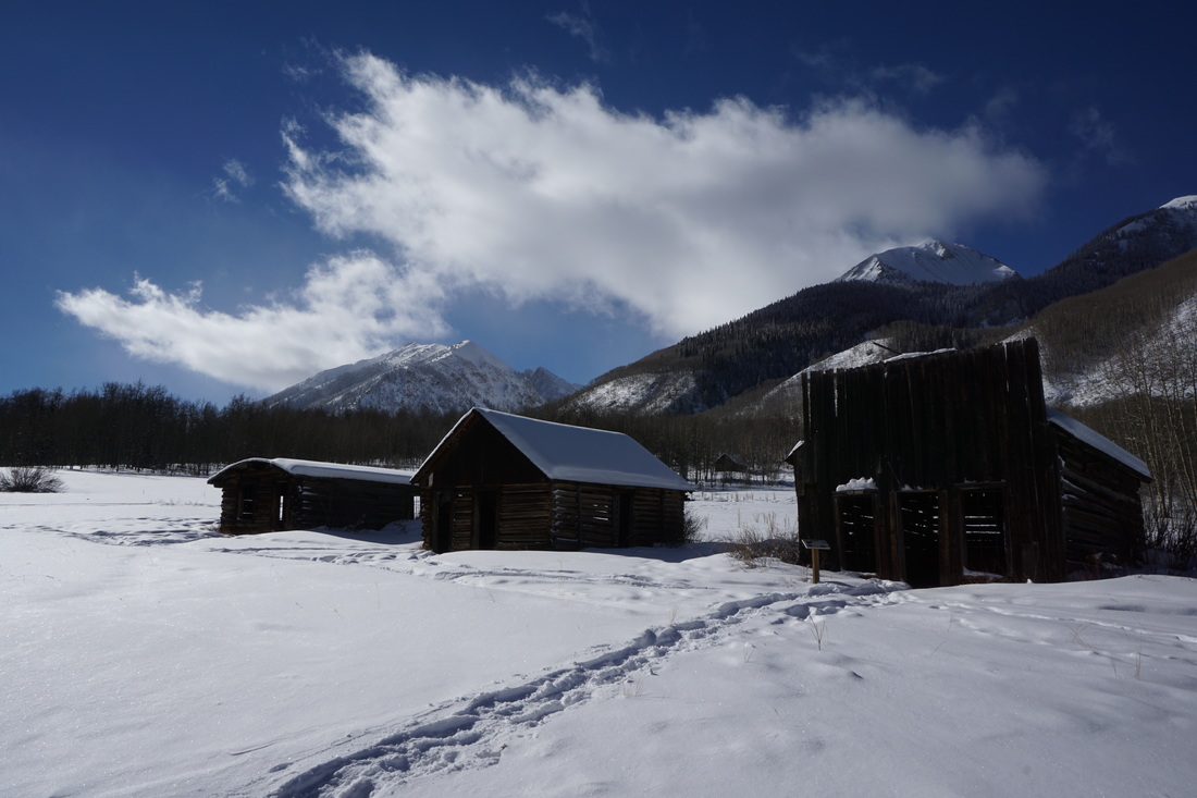
Ashcroft Ghost Town, White River National Forest
|
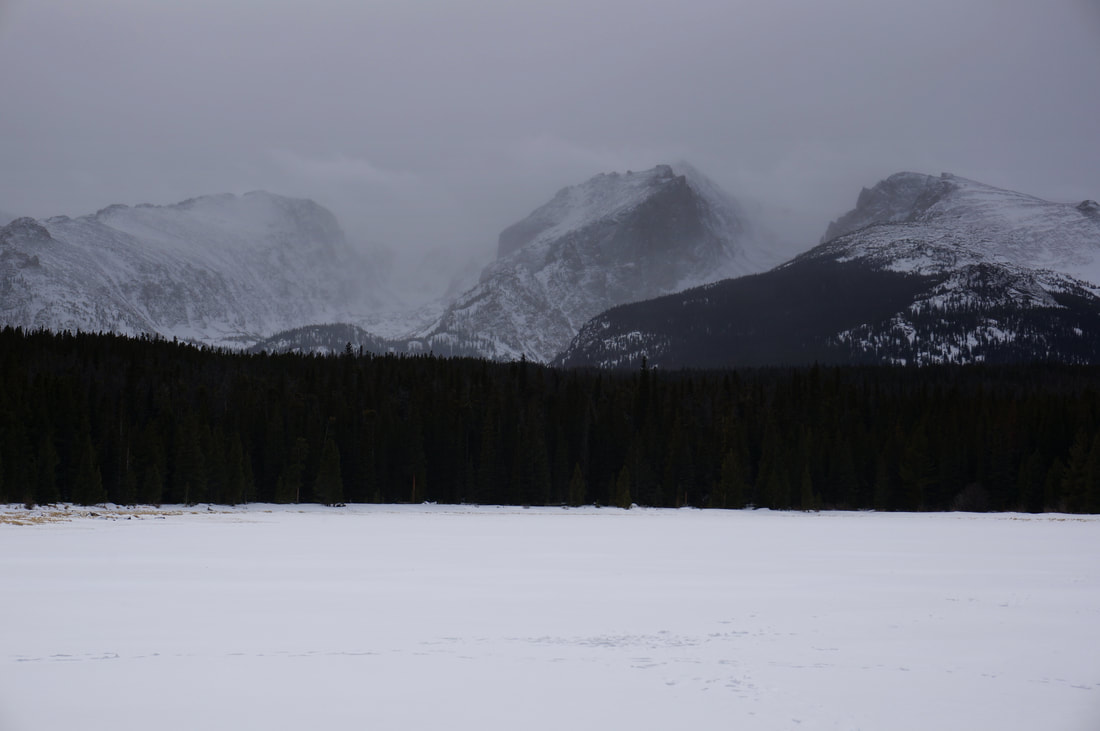
Bierstadt Lake, Rocky Mountain National Park
|
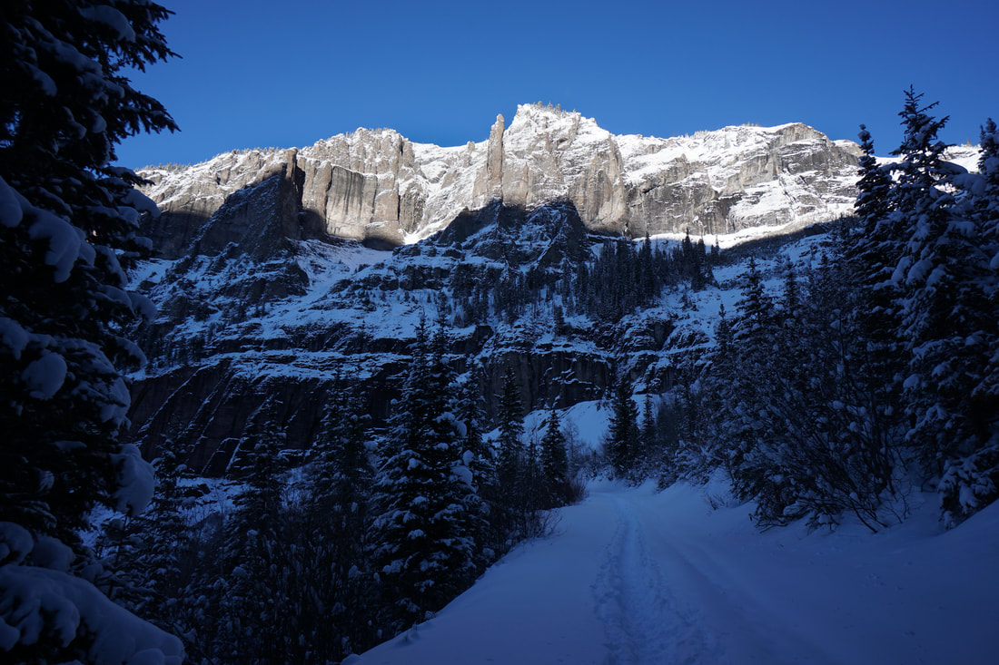
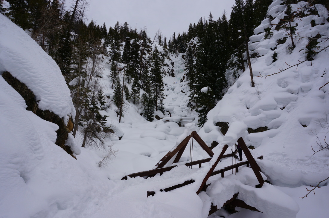
Bridal Veil Falls, Uncompahgre National Forest
|
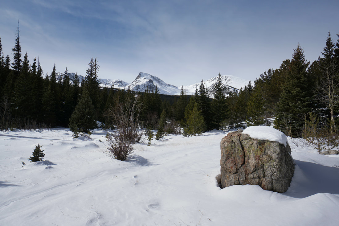
Lower Buchanan Pass Trail, Roosevelt National Forest
|
Butler Gulch, Arapaho National Forest
|
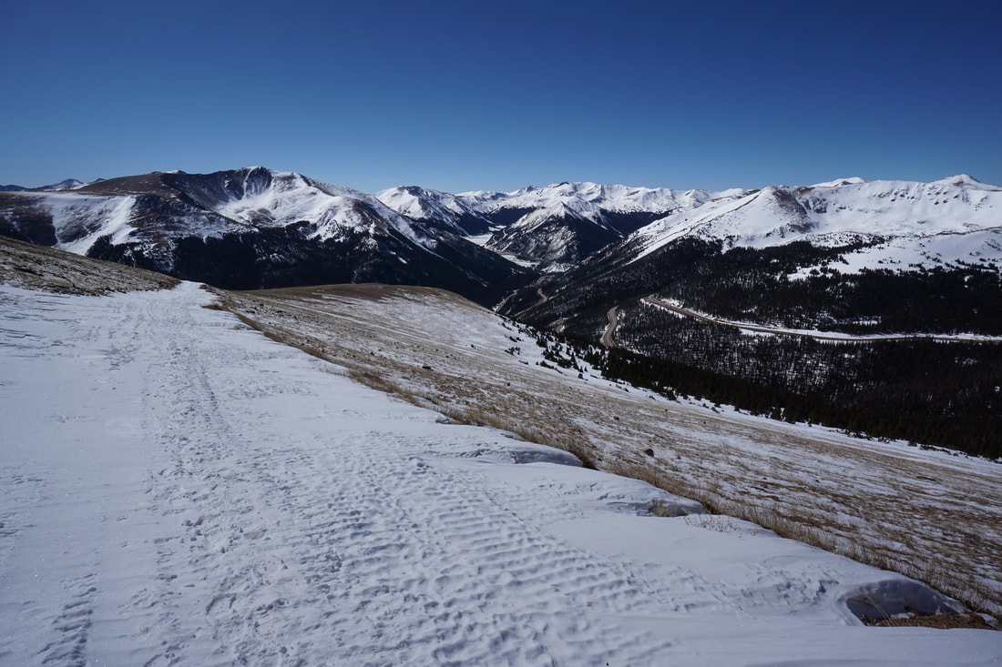
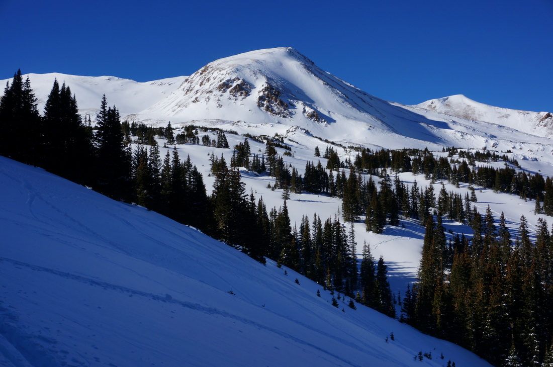
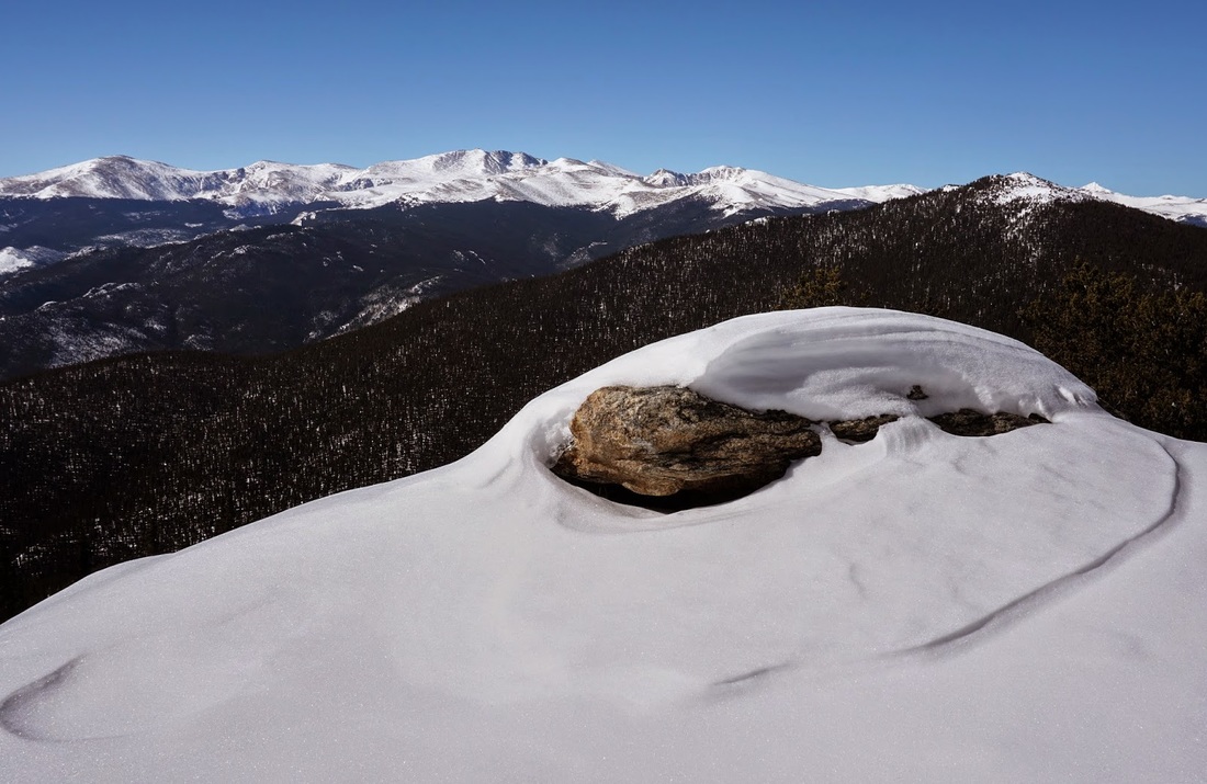
Colorado Mines Peak 12,497 ft, James Peak Wilderness, Arapaho National Forest
|
Crystal Lake via Hoosier Pass, White River National Forest
|
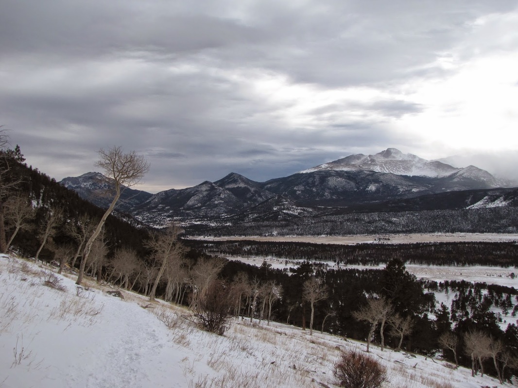
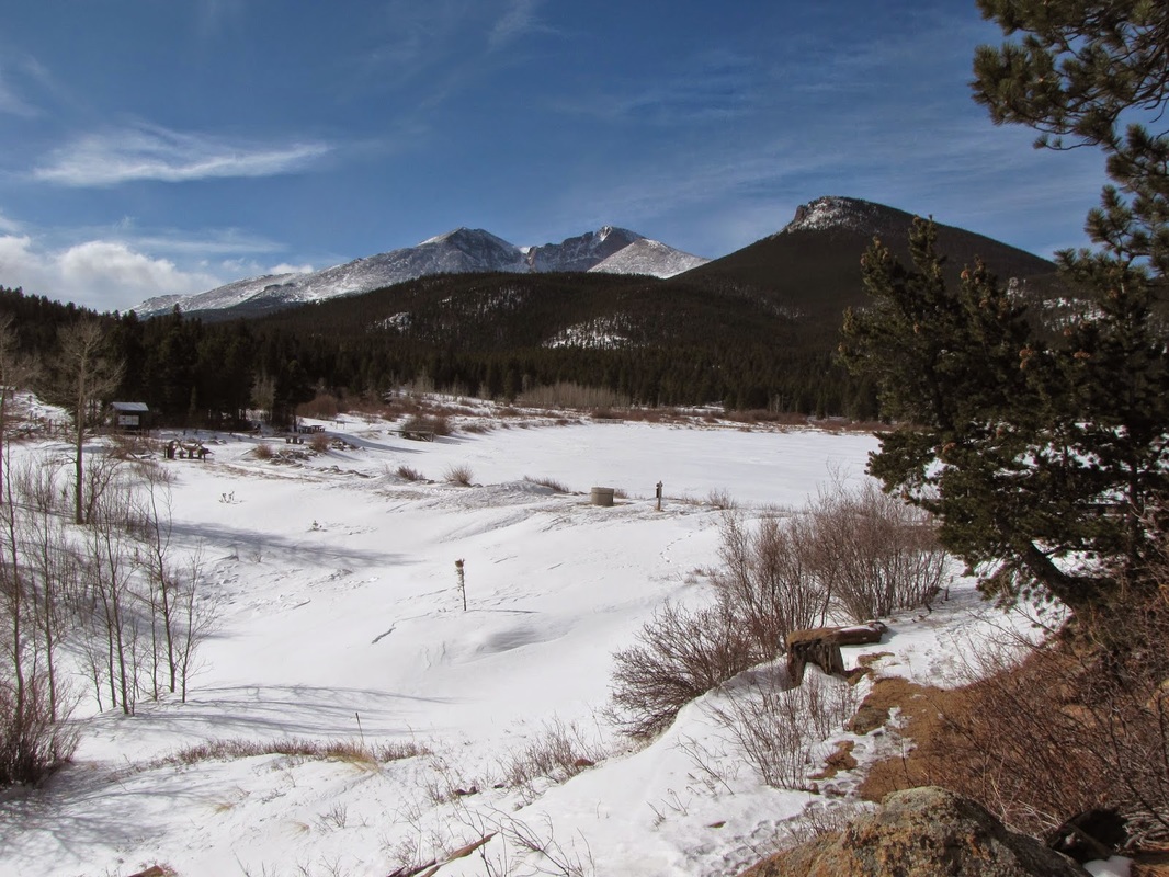
Deer Mountain, Rocky Mountain National Park
|
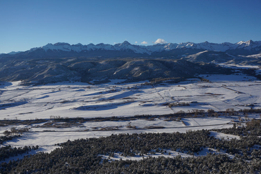
Escarpment Path, Loghill Village, Ridgway
|
Fern Lake, Rocky Mountain National Park
|
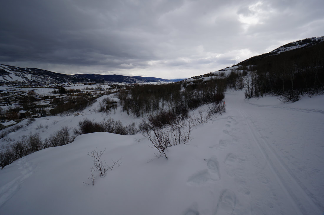
Fish Creek Falls, Routt National Forest
|
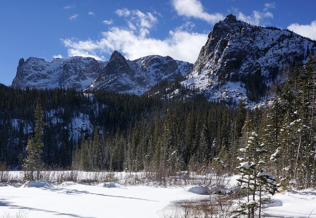
Lake Helene, Rocky Mountain National Park
|
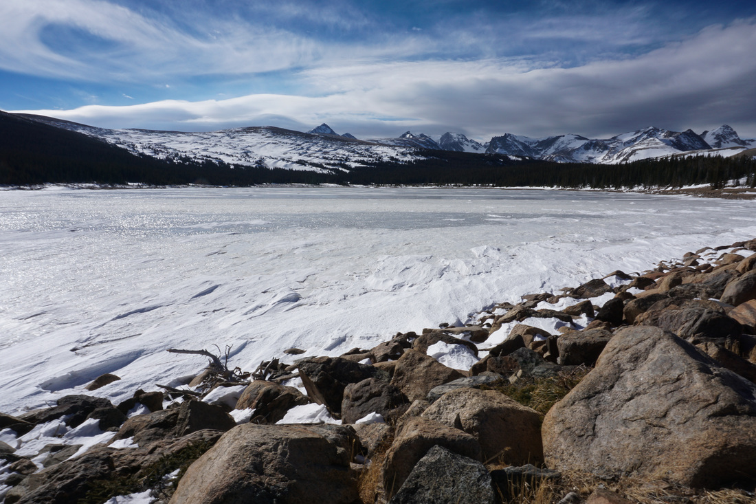
Lefthand Park Reservoir, Roosevelt National Forest
|
Lilly Lake, Rocky Mountain National Park
|
Lily Mountain, Rocky Mountain National Park
|

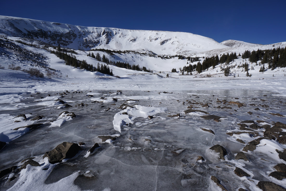
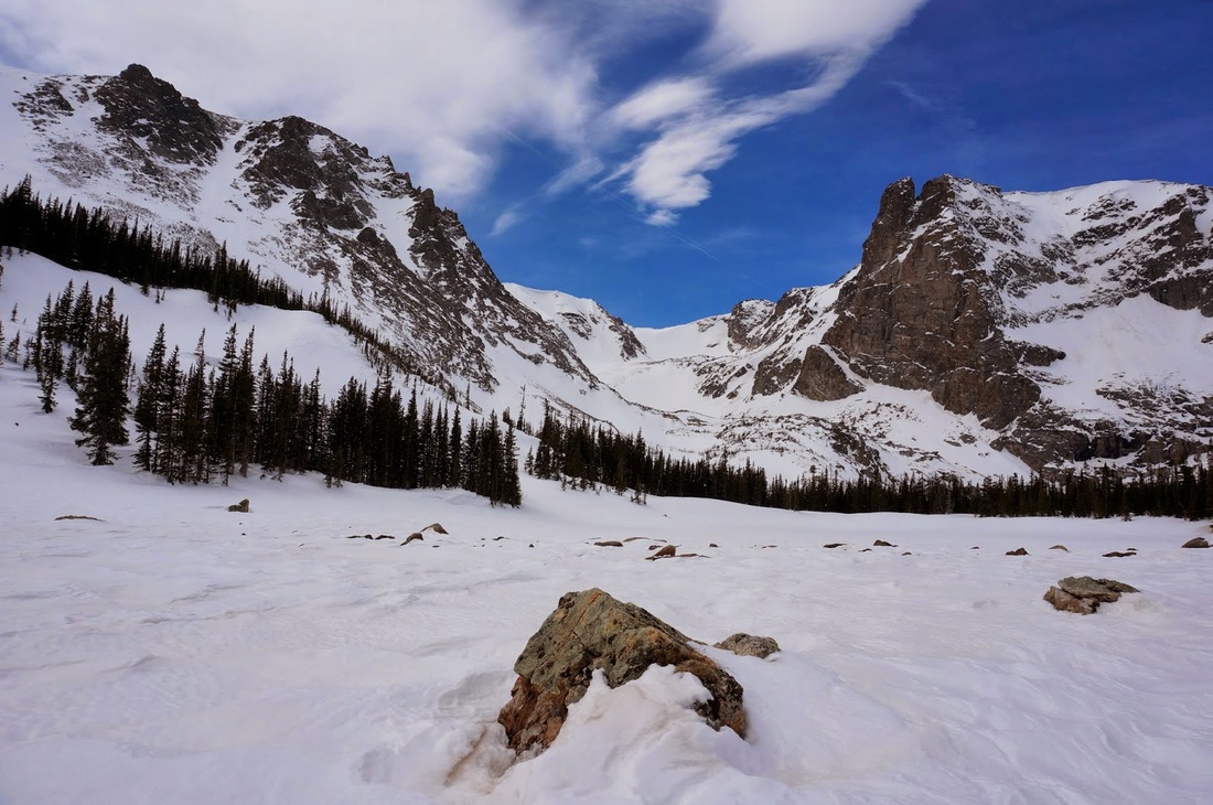
Loch Lomond, Arapaho National Forest
|
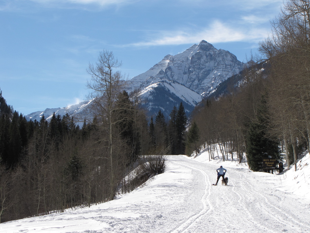
Maroon Creek Road, White River National Forest
|
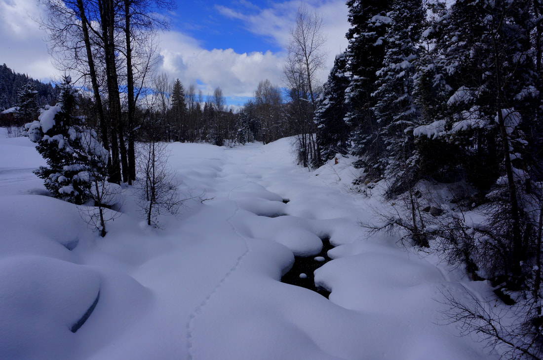
McCullough Gulch, White River National Forest
|
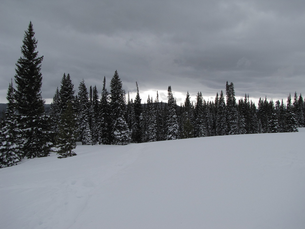
Mud Lake Open Space - Tungsten Loop, Boulder County Open Space
|
Old Squaw Pass Road, Arapaho National Forest
|
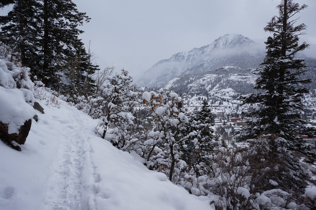
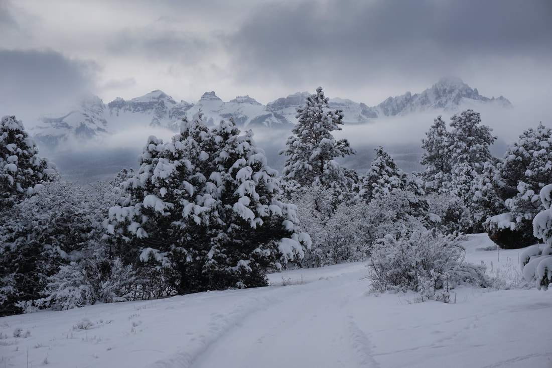
Ouray Perimeter Trail, Uncompahgre National Forest
|
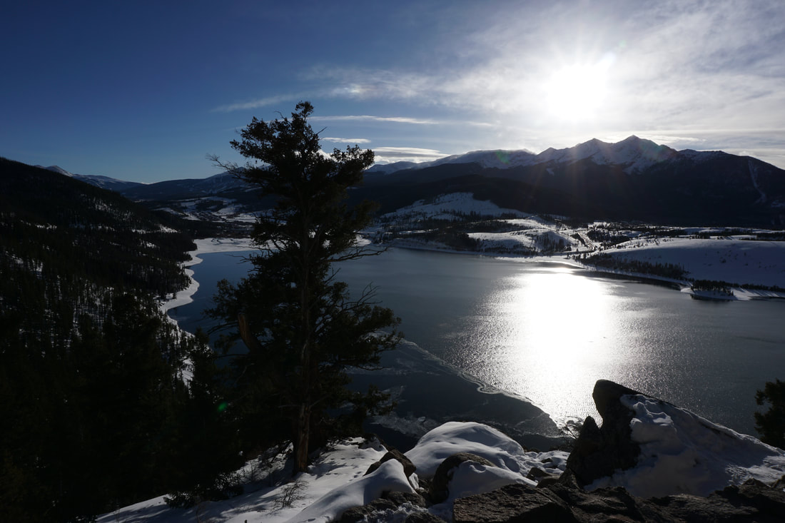
Sapphire Point, White River National Forest
|
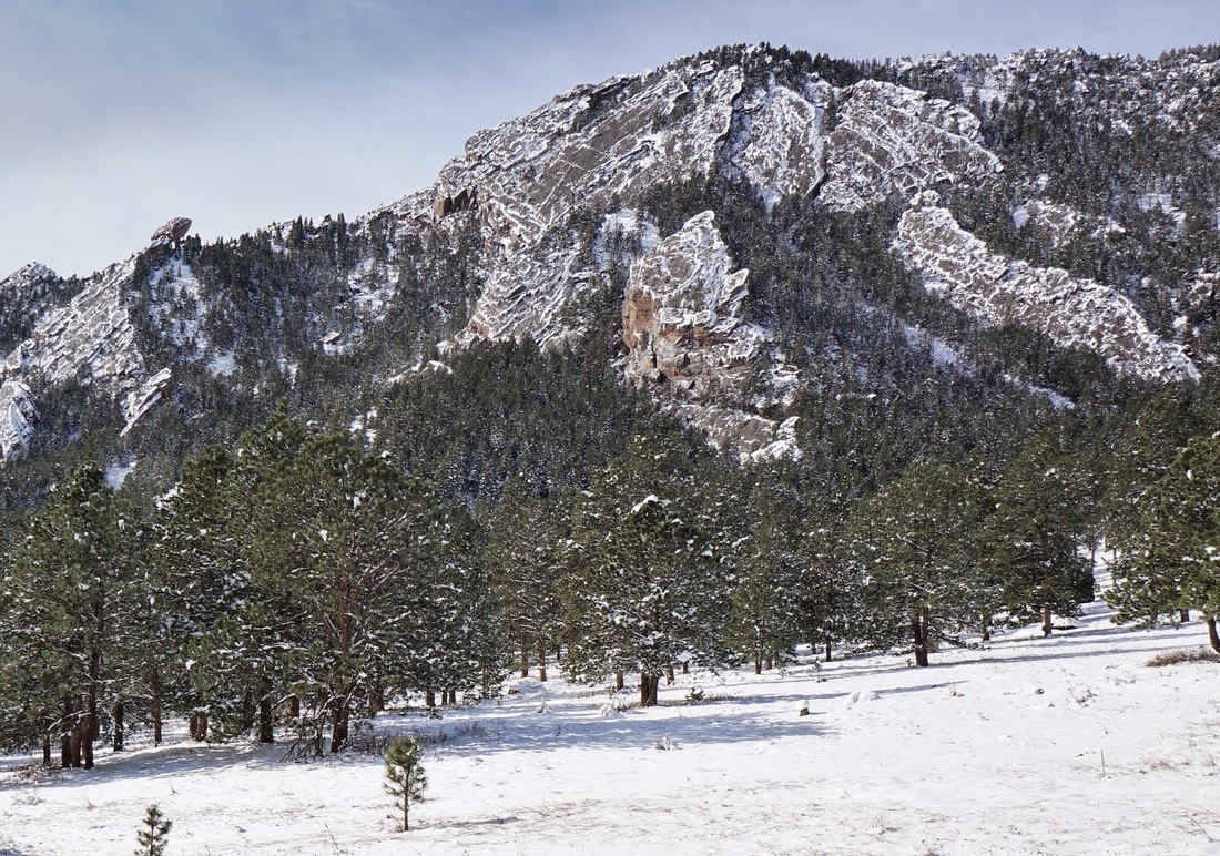
Shanahan Ridge, Boulder Mountain Park
|
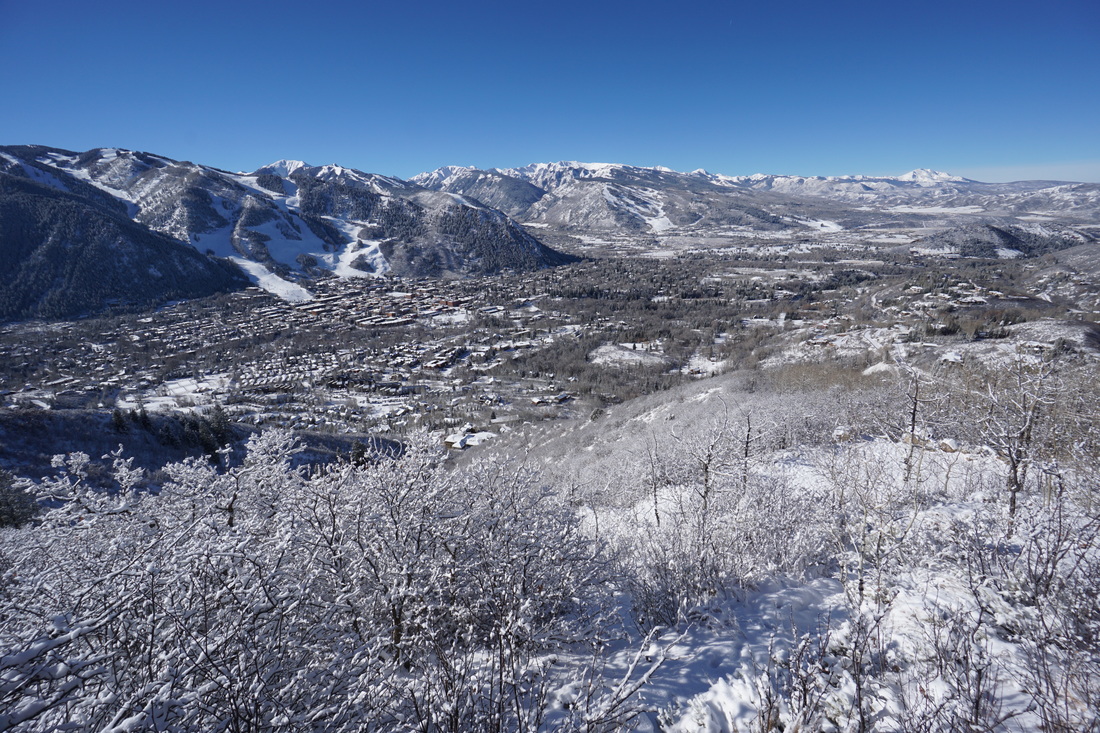
Smuggler Mountain Overlook, Smuggler Mountain Open Space
|
South Summit Loop, Rabbit Ears Pass, Routt National Forest
|
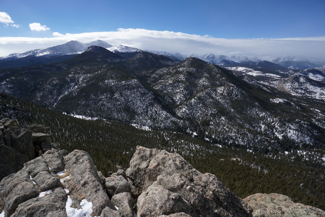
Squaw Mountain, Arapaho National Forest
|
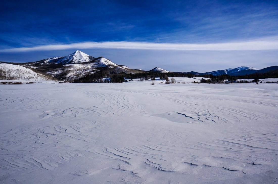
Steamboat Lake State Park
|
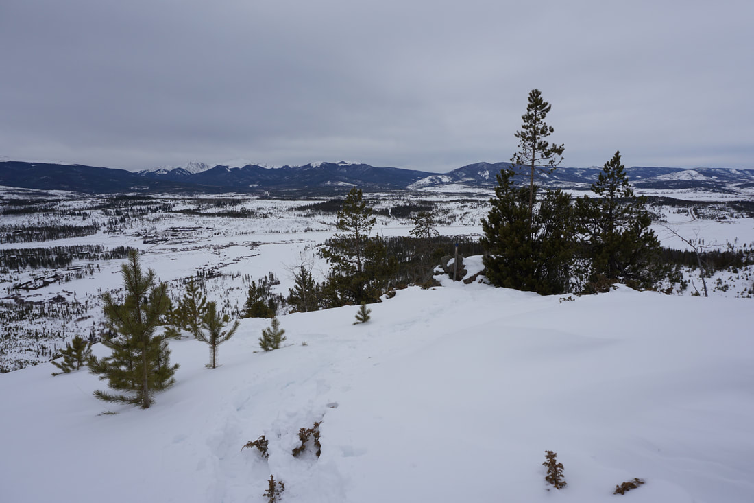
Top of the Pines Preserve, Ouray County
|
West Summit Loop 1A, Rabbit Ears Pass, Routt National Forest
|
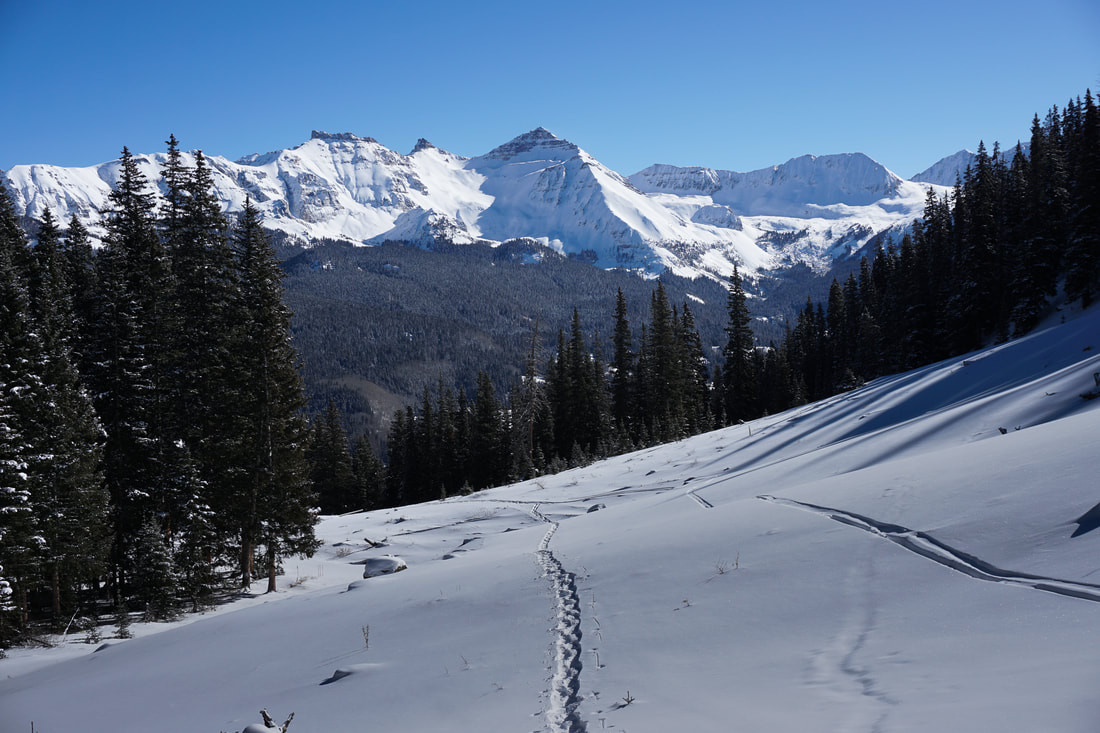
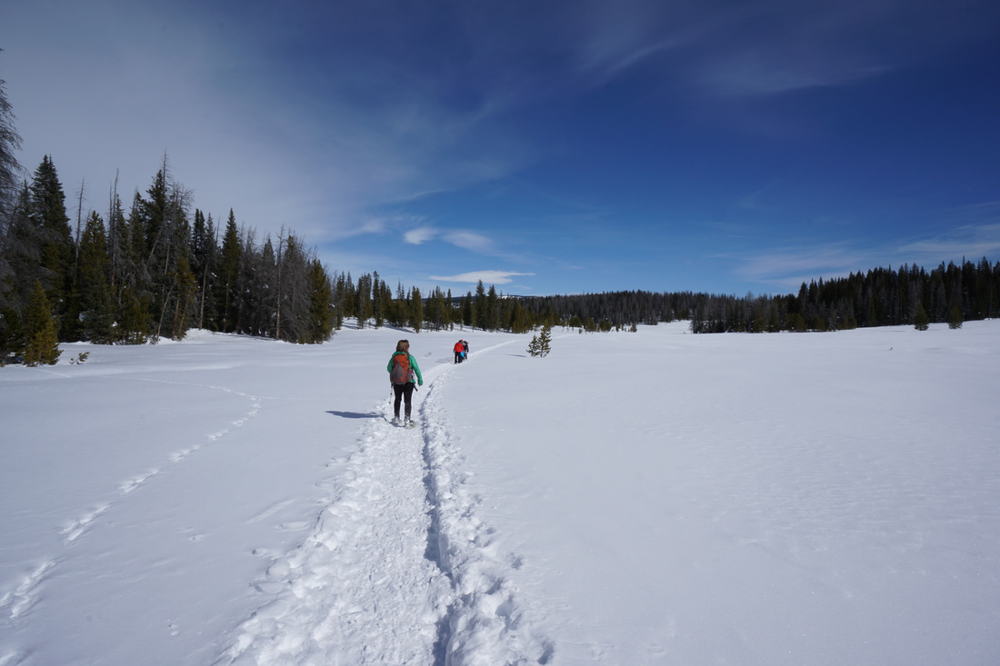
Wilson Meadows, Lizard Head Wilderness, Uncompahgre National Forest
|
Nordic Centers - Snowshoe & Cross Country Skiing
Devil's Thumb Ranch Nordic Center - Marker Hill
|
Devil's Thumb Ranch Nordic Center - Redtail Snowshoe Trail
|
Eldora Nordic Center - Phoebe Snow Loop (Cross Country Ski Trail)
|
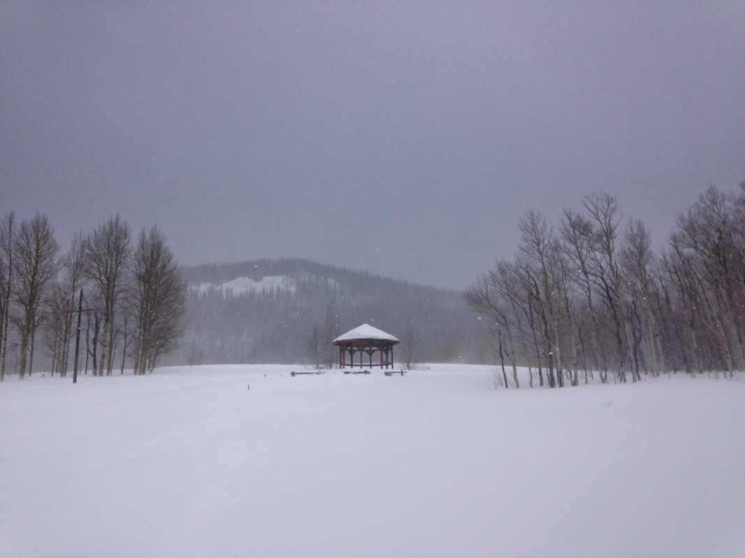
Howelson Hill Nordic Center - Steamboat Springs
|
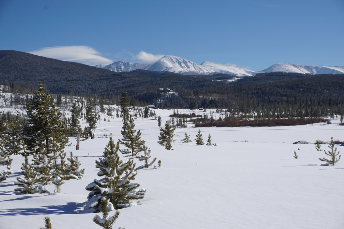
Snow Mountain Ranch (YMCA) Nordic Center - Columbine Point
|
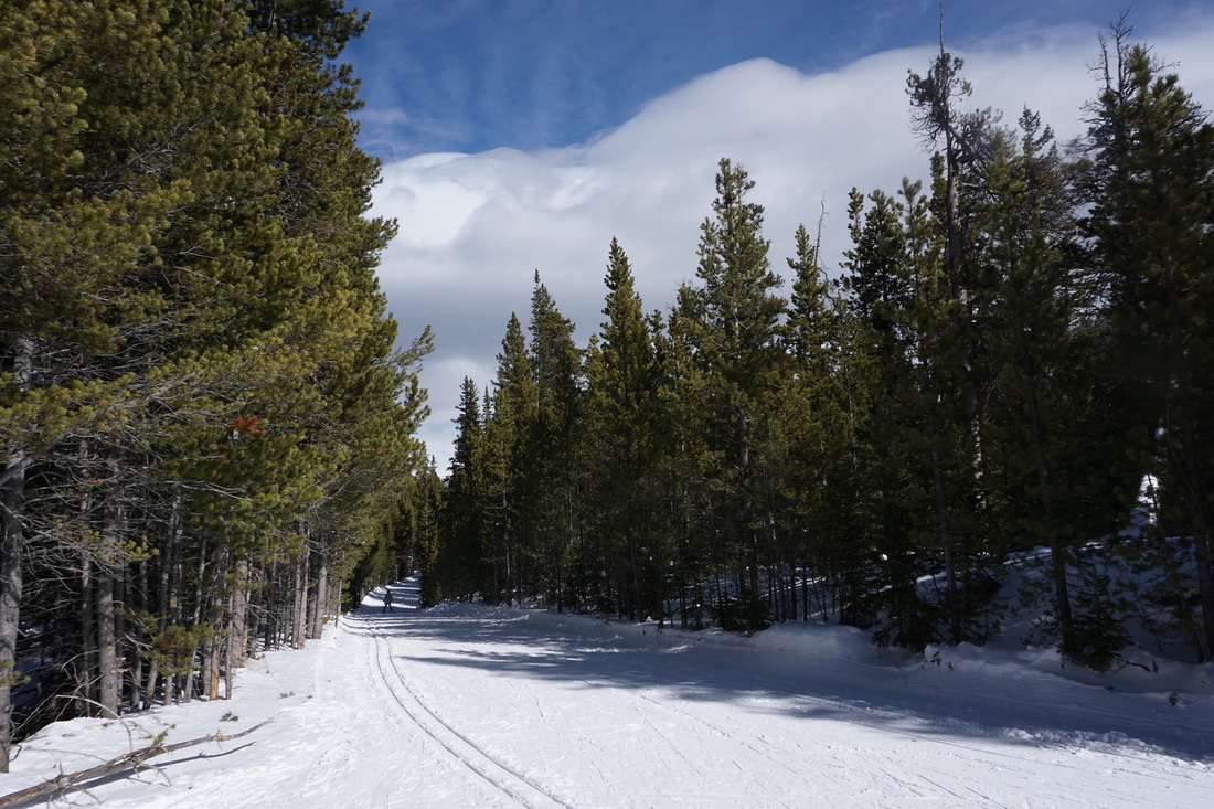
Steamboat Ski Touring Center - Woodsy Way Snowshoe Trail
|
