|
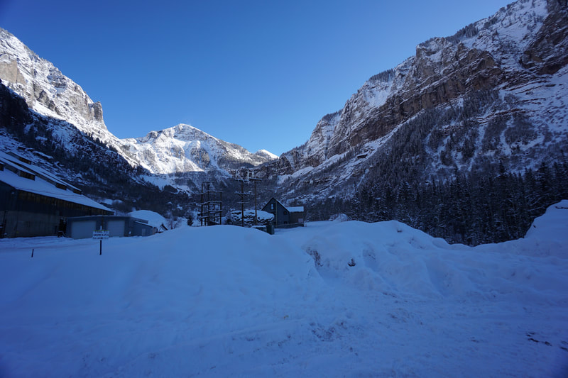
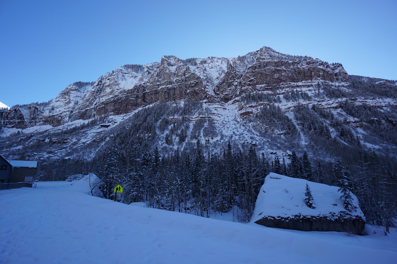
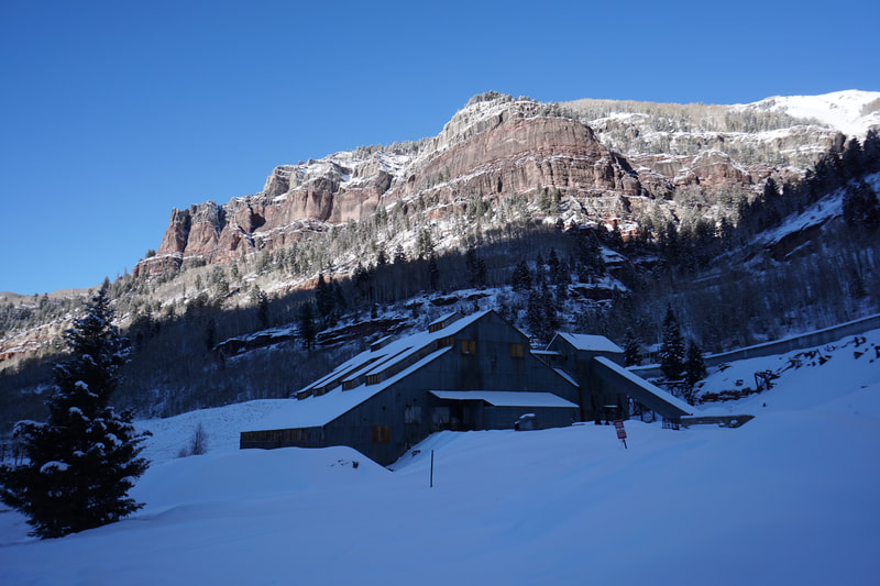
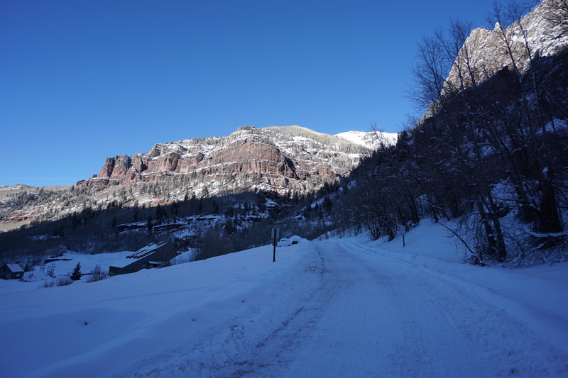
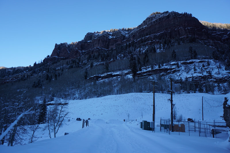
DIRECTIONS: From downtown Telluride, follow 145, the main road, east through town until the road ends at the Pandora Mine. In winter, the road is impassible at the mine but you can park at the road closure. In the summer, there is a large parking area just before the mine.
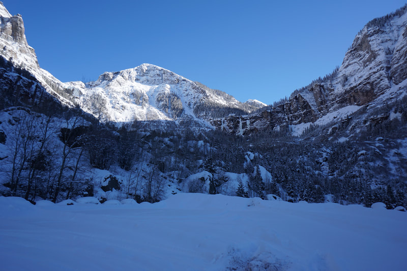
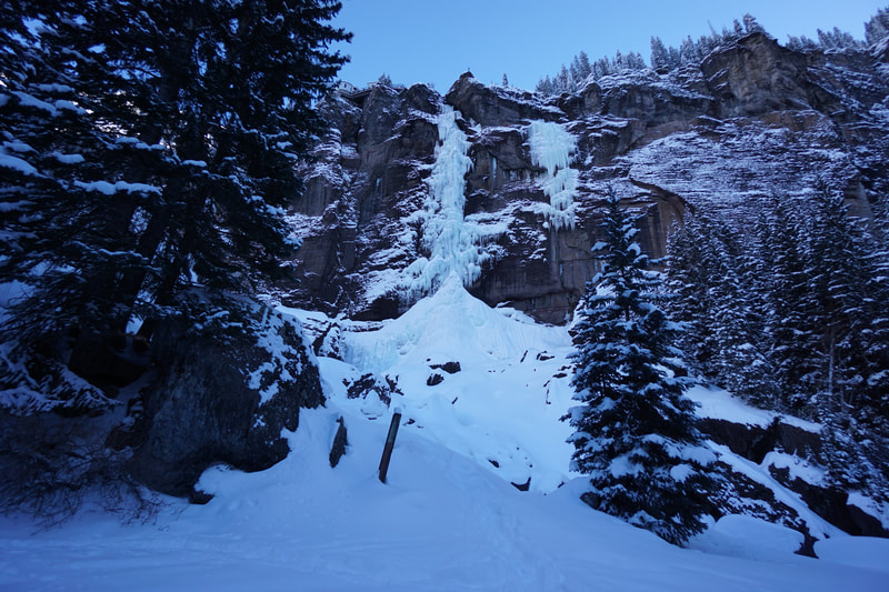
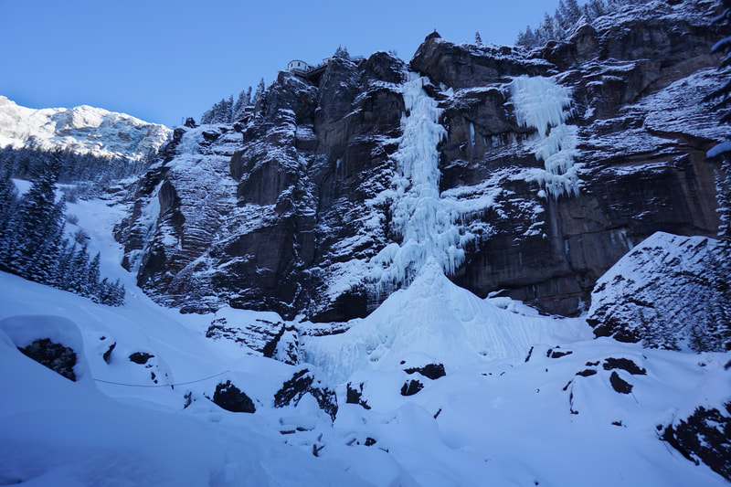
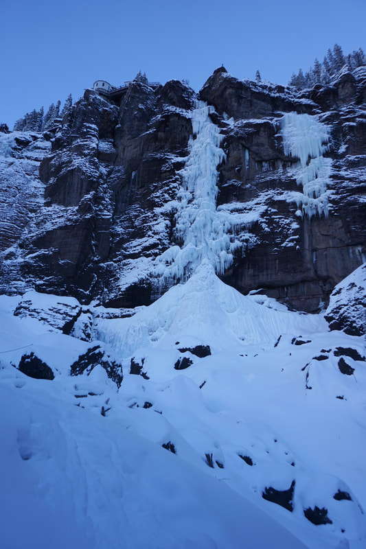
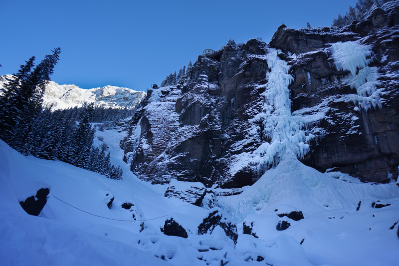
Bridal Veil Falls is one of Telluride's biggest attractions, aside from the ski resort. At 365 feet tall, Bridal Veil Falls is Colorado's tallest waterfall and the hike to the base of the falls is a relatively straight forward. The trail starts at the Pandora Mine and follows Forest Service Road 648 to the base of the falls and beyond.
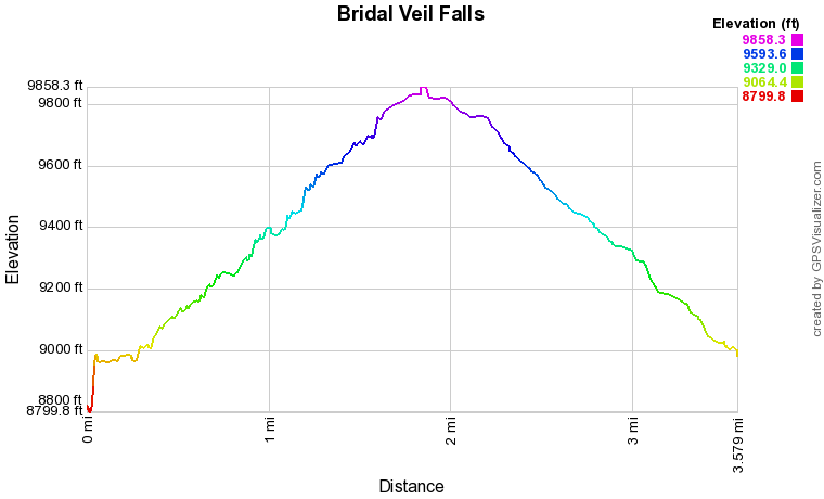
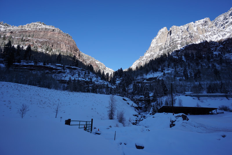
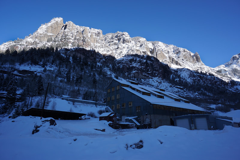
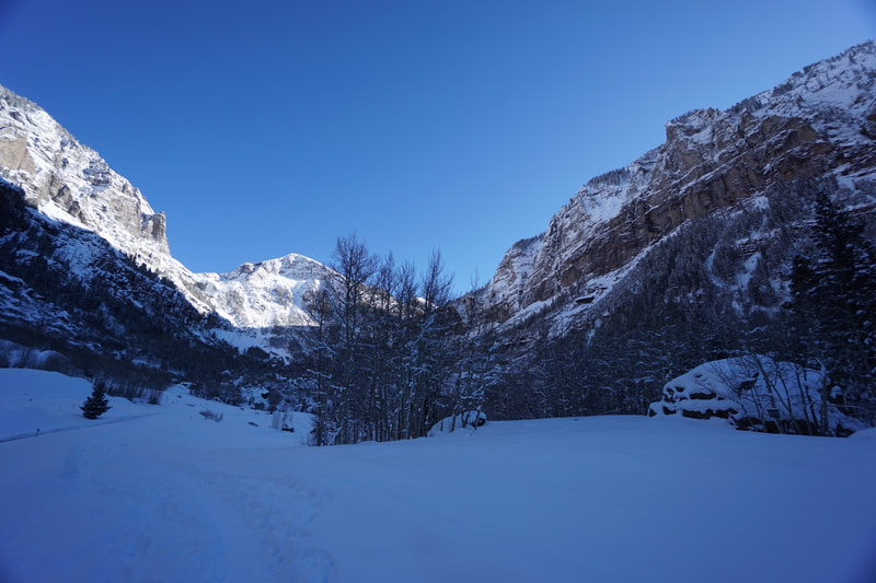
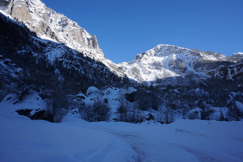
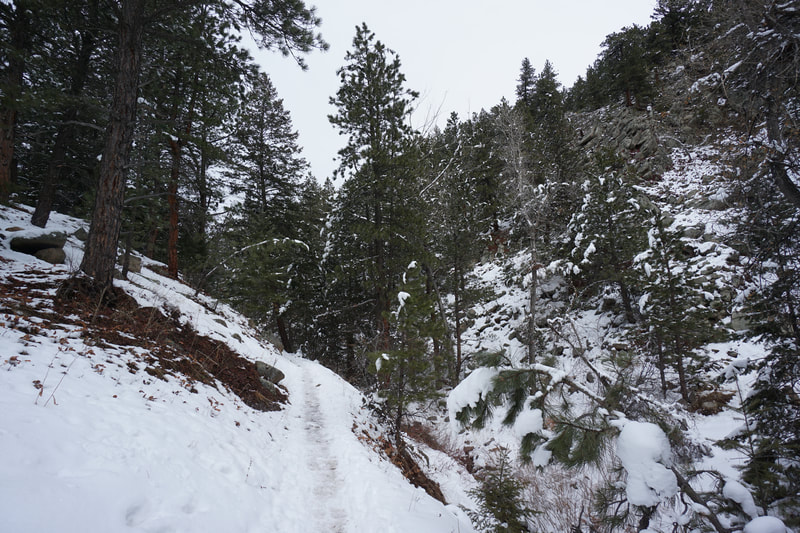
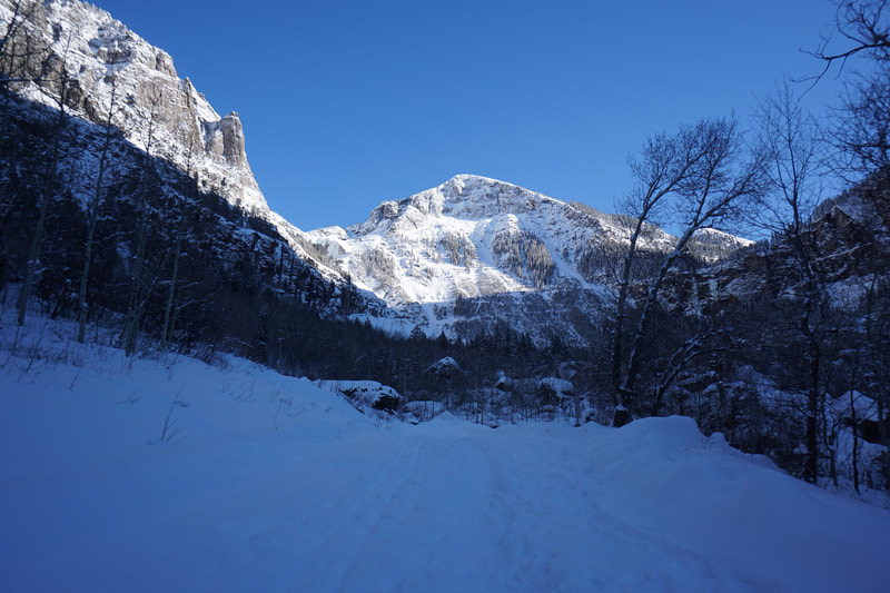
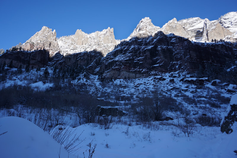
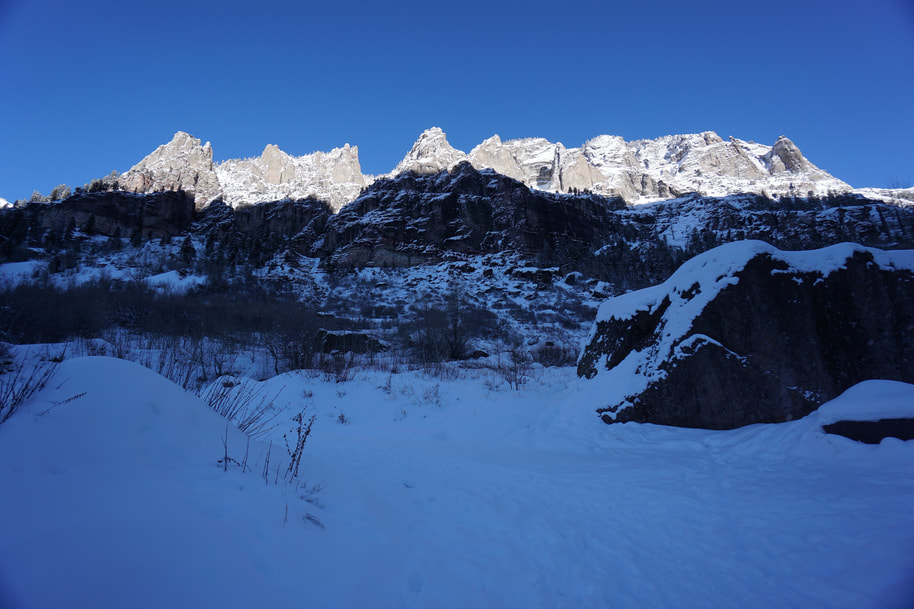
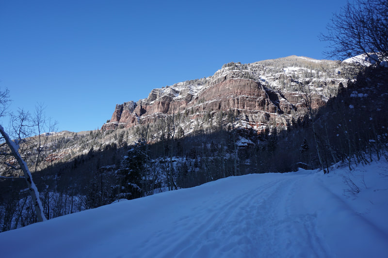
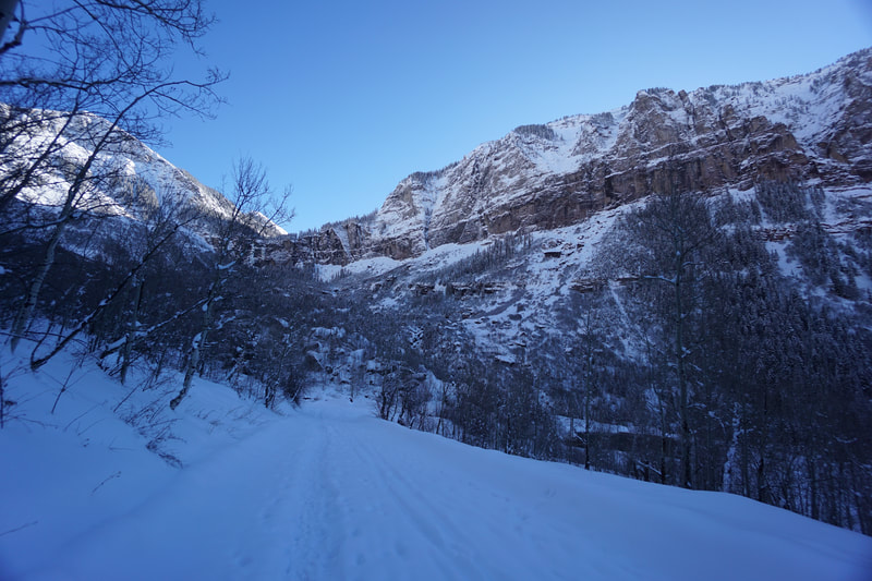
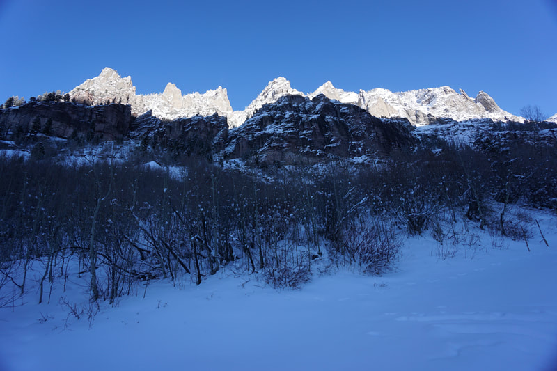
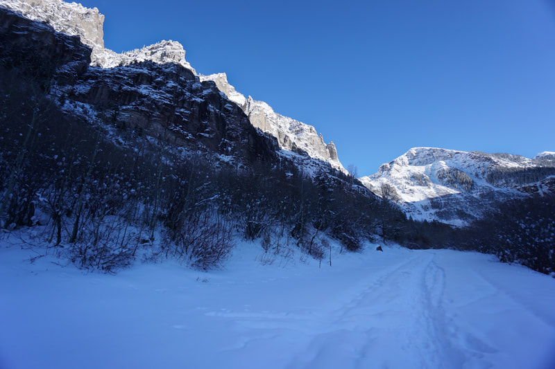
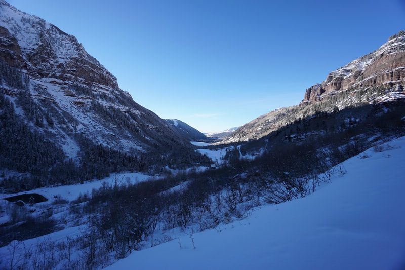
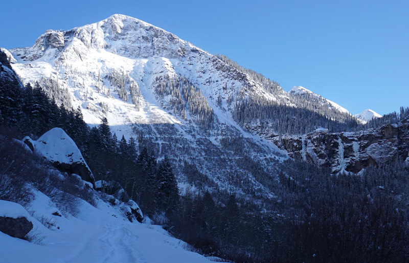
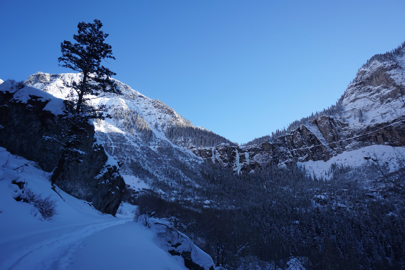
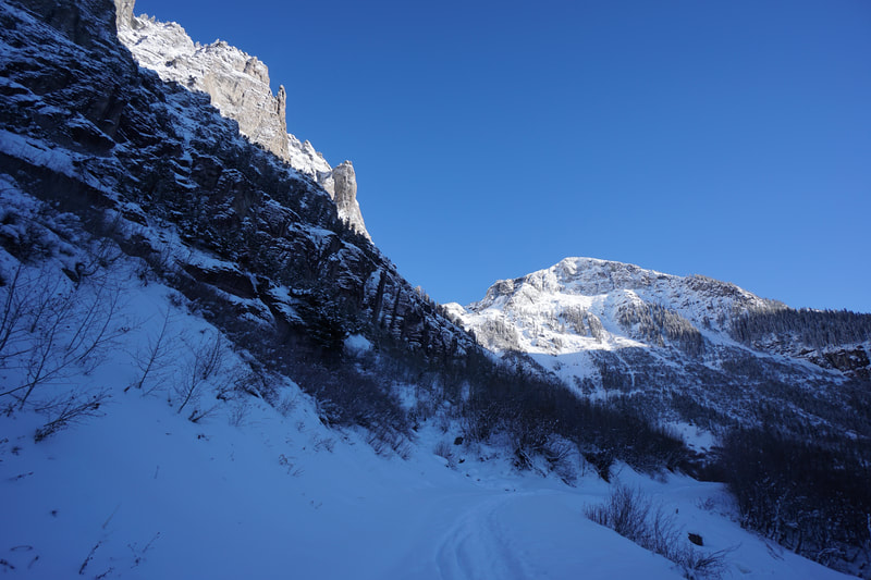
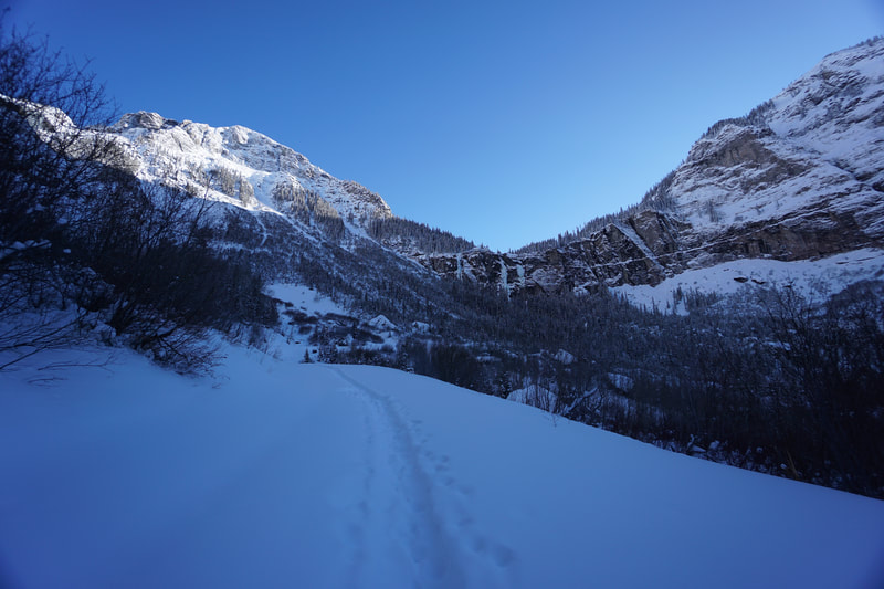
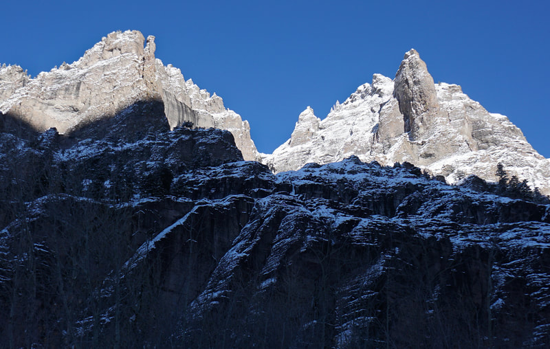
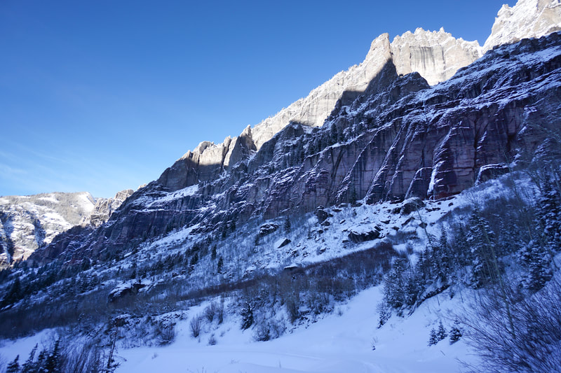
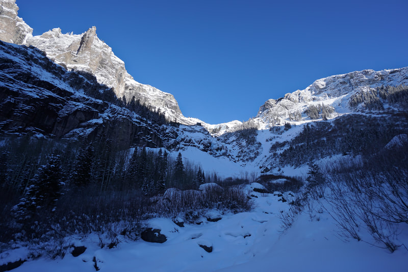
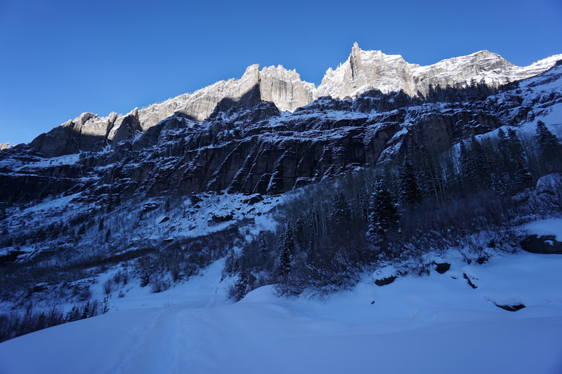
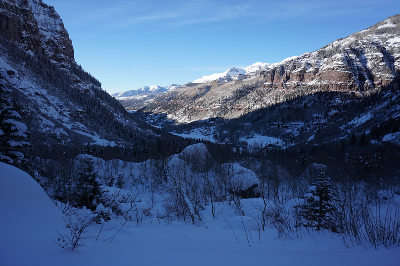
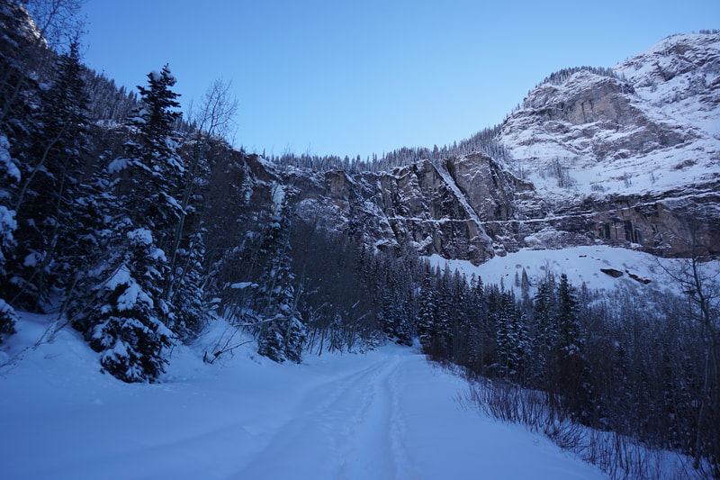
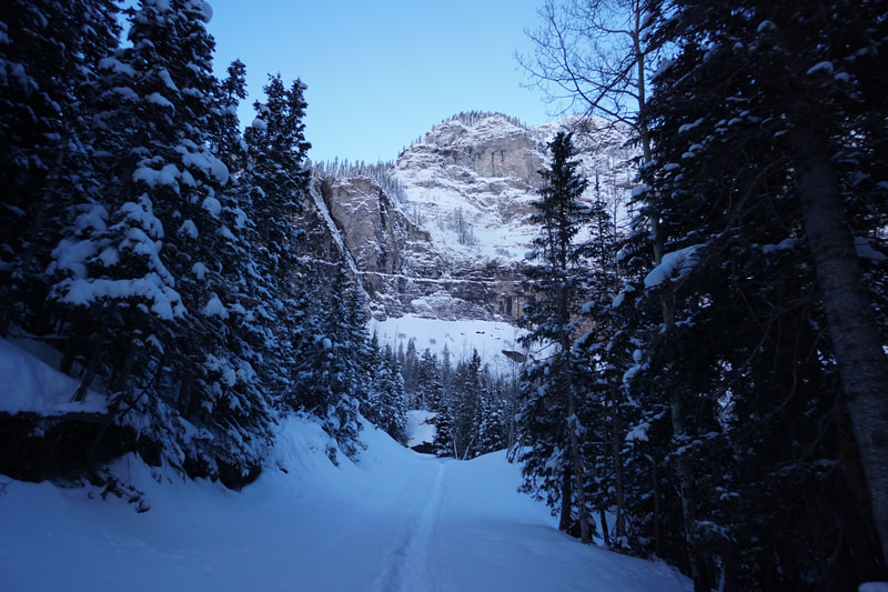
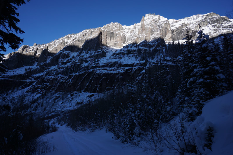
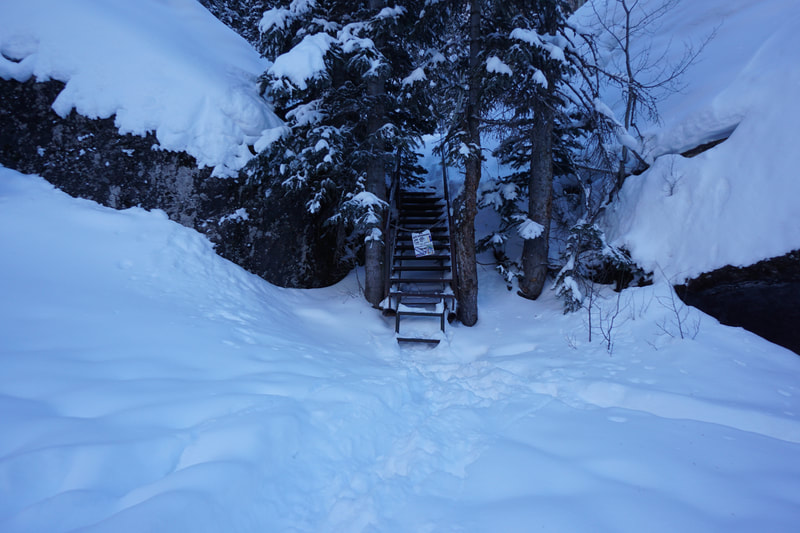
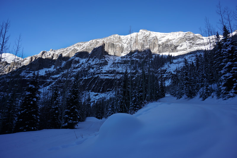
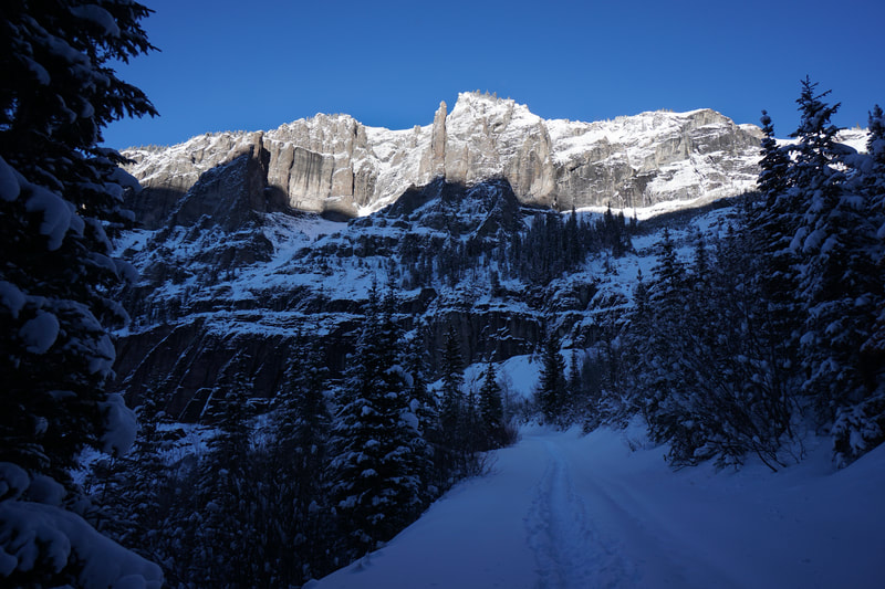
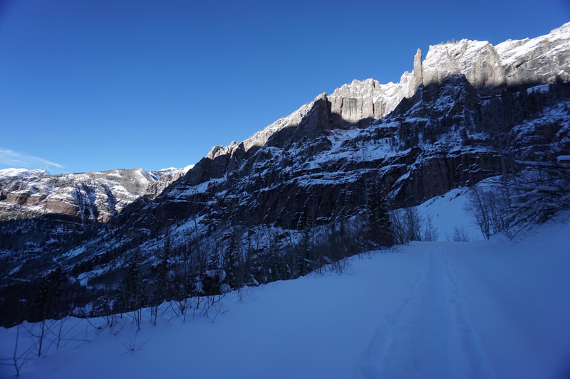
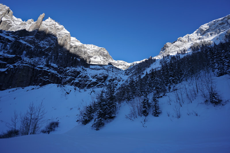
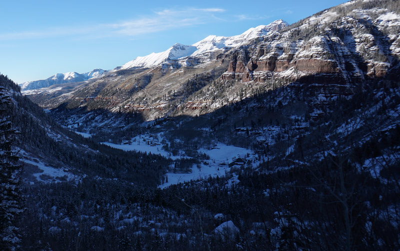
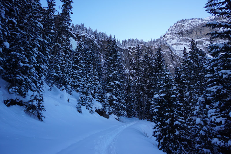
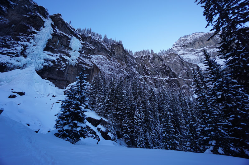
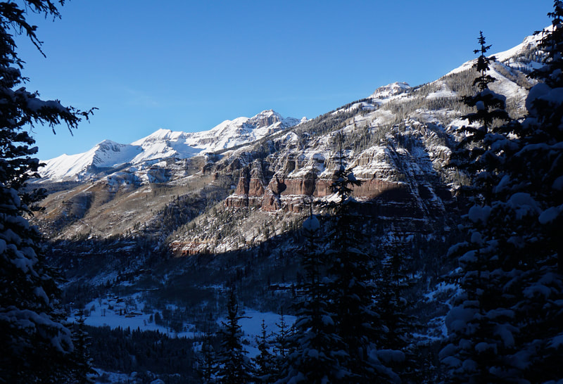
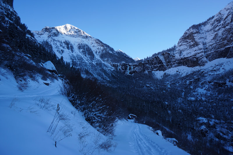
In the summer, the road is easily hiked but also shared with offroad vehicles. In the winter, however, the road is closed to motorized vehicles and becomes a perfect route for hiking, snowshoeing, or skiing. Chances are there will at least be a trench of packed snow making snowshoes unnecessary but if you hike the road after a big storm, you may need some floatation. The snow makes the hike a bit more difficult but worth the extra effort. From the trailhead, follow the trail past the Pandora Mine where it briefly meets up with a plowed access road. As the road turns up the mountainside you'll see a mileage sign indicating 1.2 miles to the base of the falls. From here, the road is no longer maintained and the hiking gets a bit more challenging. The road switchbacks for 1.2 miles and gains about 1,000 feet of elevation to the base of Bridal Veil Falls. The falls are spectacular, in all seasons. In the winter, the falls form a frozen cascading ice sculpture and are incredibly beautiful. At the top of the falls lies a historic power station perched at the edge of the cliffs. However, the falls are not the only draw for this hike. The scenery is amazing. The steep cliffs and walls are lined with pinnacles, spires, and towers, and beyond, the high peaks of the Sneffels Range become visible as you near the base of the falls. The view to the west over Telluride every bit of scenic as the falls themselves. At the base of the falls you can turn around and return along the road or continue hiking to the top of the falls and into the wilderness beyond. |
- HOME
- ABOUT
-
HIKES BY REGION
-
NATIONAL PARK HIKES
- BENT'S OLD FORT NATIONAL HISTORIC SITE
- BLACK CANYON OF THE GUNNISON NATIONAL PARK
- COLORADO NATIONAL MONUMENT
- CURECANTI NATIONAL RECREATION AREA
- DINOSAUR NATIONAL MONUMENT
- FLORISSANT FOSSIL BEDS NATIONAL MONUMENT
- MESA VERDE NATIONAL PARK
- ROCKY MOUNTAIN NATIONAL PARK
- GREAT SAND DUNES NATIONAL PARK
- HOVENWEEP NATIONAL MONUMENT
- SAND CREEK MASSACRE NATIONAL HISTORIC SITE
- YUCCA HOUSE NATIONAL MONUMENT
- HIKES BY CATEGORY
- NEWS
- WEBCAMS
- $UPPORT GHC
- INTERACTIVE MAP
Bridal Veil Falls (FS Road 648)
Uncompahgre National Forest
Date Hiked: December 29, 2018
Distance: 3.6 mi (RT)
Elevation Gain: 1,000 ft
Elevation Min/Max: 8,800 to 9,800 ft
Trailhead Lat/Long: 37º 55' 53" N; 107º 46' 46" W
Managing Agency: U.S. Forest Service
Fee: None

