
SORRY FOR THE CONTINUED SITE PROBLEMS.
THERE IS A BUG IN THE SYSTEM THAT IS DELETING AND CHANGING PHOTOS IN THE GALLERIES AND THE HIKE PAGES. WE ARE WORKING TO REBUILD THE SITE USING A DIFFERENT HOST AND PLATFORM.
IT IS A SLOW PROCESS.
STAY TUNED FOR A REVAMPED GO HIKE COLORADO.
THANK YOU FOR YOUR PATIENCE AND THE END OF SUMMER AND THE FALL.
SEARCH THE SITELATEST SITE UPDATESNovember 15, 2021
Lowere Salt Lick Loop, White River National Forest, Gore Range (2.3 mi (RT); 300 ft elevation gain)
November 9, 2021
Eagle Lake, Holy Cross Wilderness, White River National Forest, Sawatch Range (6 mi (RT); 800 ft elevation gain)
November 1, 2021
Sneve Gulch Trail, Sylvan Lake State Park & White River National Forest, Sawatch Range (4.6 mi (RT); 1,700 ft elevation gain)
Sylvan Lake Trail, Sylvan Lake State Park, Sawatch Range (1.5 mi (RT); minimal elevation gain)
October 1, 2021
Interlaken Trail, Colorado Trail Segment 11, San Isabel National Forest, Sawatch Range (5.6 mi (RT); 160 ft elevation gain)
September 27, 2021
Lake Emma, Pike National Forest, Mosquito Range (1.6 mi (RT); 650 ft elevation gain)
September 23, 2021
French Pass, Pike National Forest, Front Range (6.8 mi (RT); 1,500 ft elevation gain)
September 20, 2021
September 18, 2021
August 29, 2021
|
INTERACTIVE MAP (click on a hike for a link to the trail description)For best results zoom in on the map. The more you zoom, the quicker the links will work.
Click HERE for a larger map. SUPPORT GO HIKE COLORADOPlease support Go Hike Colorado by using these links to purchase your outdoor gear.
Click here for more info.
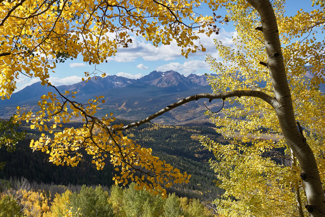
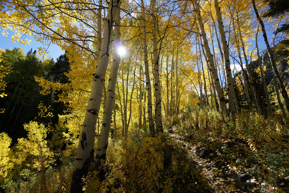
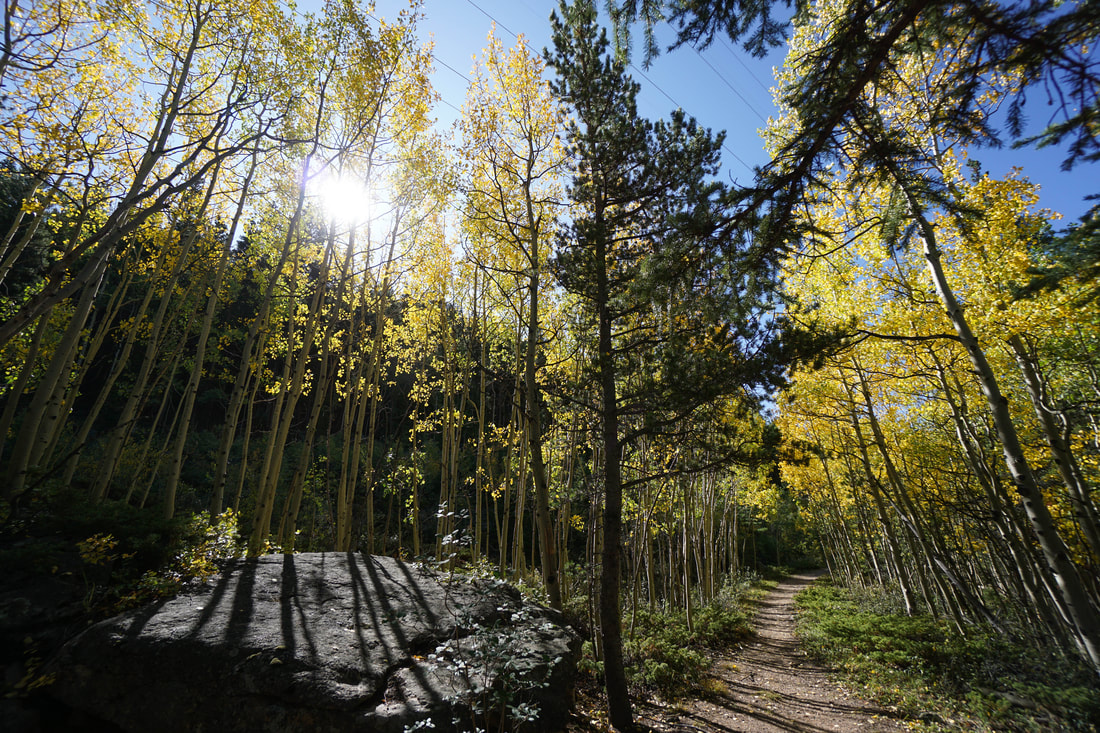
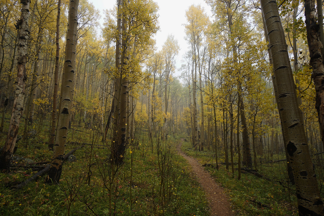
FEATURED HIKES:
|


COLORADO HIKING NEWS
Article - Click HERE - "How to Preserve Nature While Hiking" provided by www.personalinjury-law.com.

September 20, 2019 - New State Park at Fishers Peak to Open in 2021 - Fishers Peak is an iconic landmark towering over Trinidad Colorado that has always been just out of reach for most Colorado hikers. However, Gov. Polis has declared that the area will be the newest Colorado State Park and open to the public by 2021. Click here for an article from The Denver Channel.
