|
DIRECTIONS: From I-70 in Silverthorne, take the exit for CO Hwy 9 north. Make your first turn left (west) onto Wildernest Road. Turn left on Ryan Gulch Road. Follow Ryan Gulch Road as it parallels I-70. At a hairpin turn turn left to the Lower Salt Lick Trailhead down a short segment of dirt road.
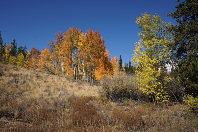
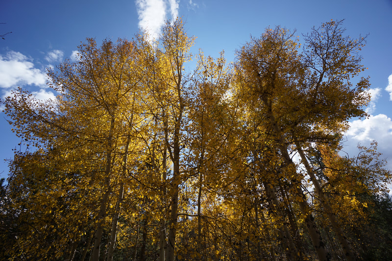
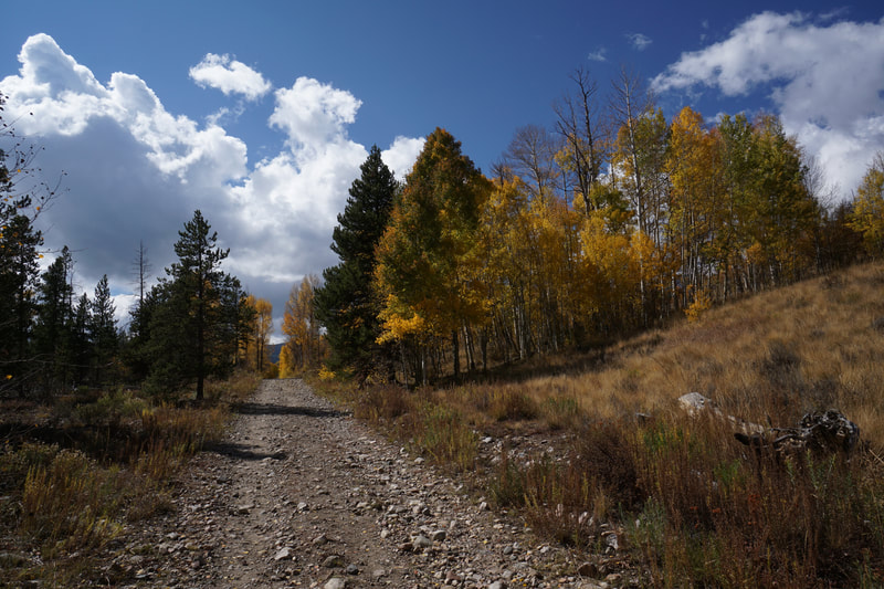
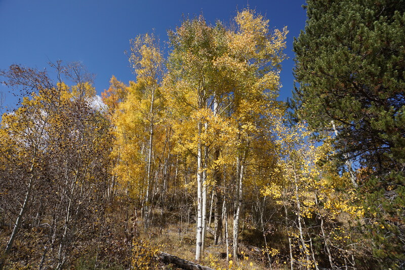
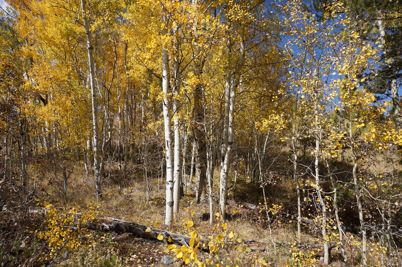
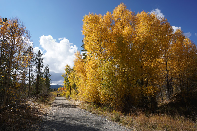
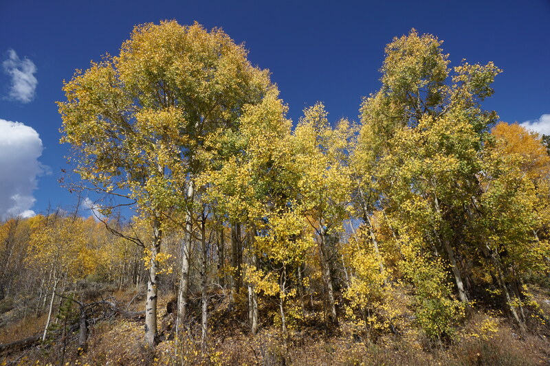
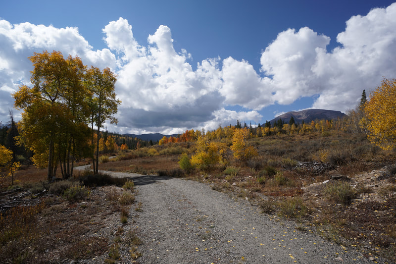
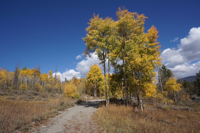
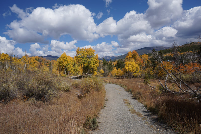
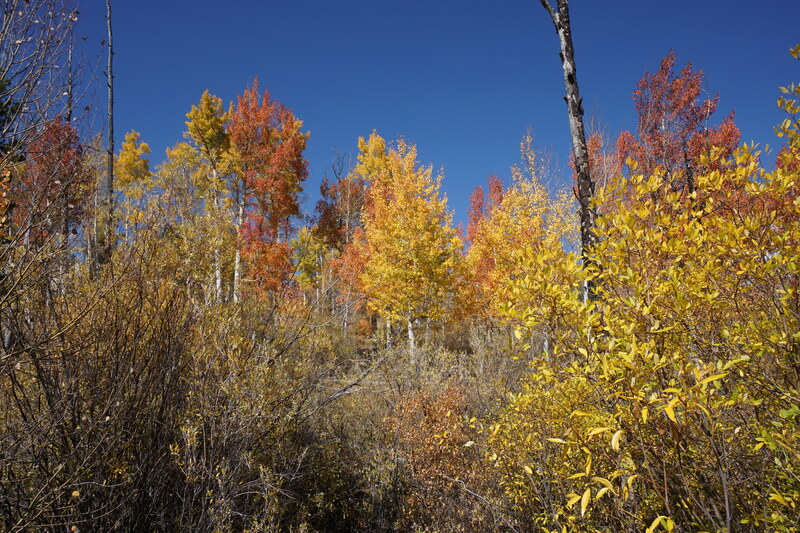
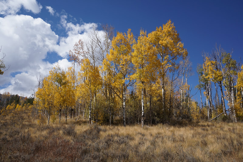
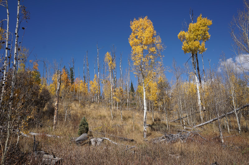
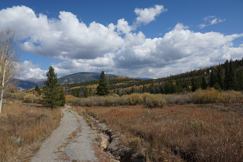
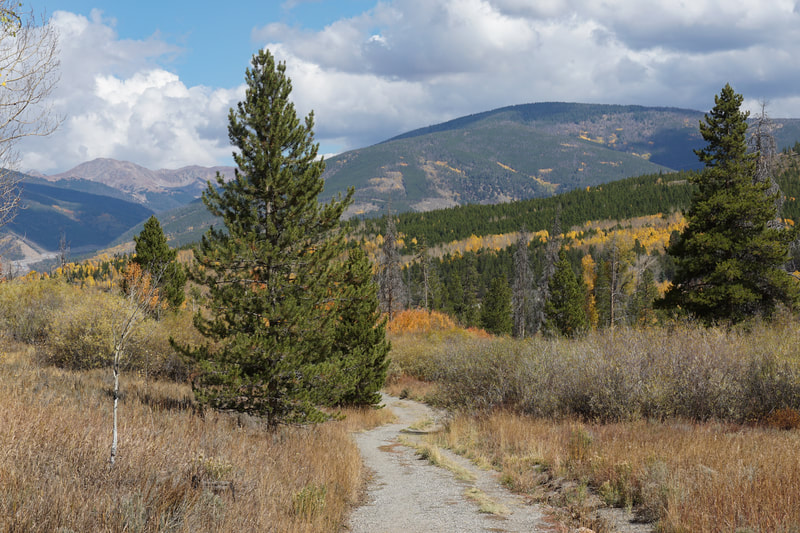
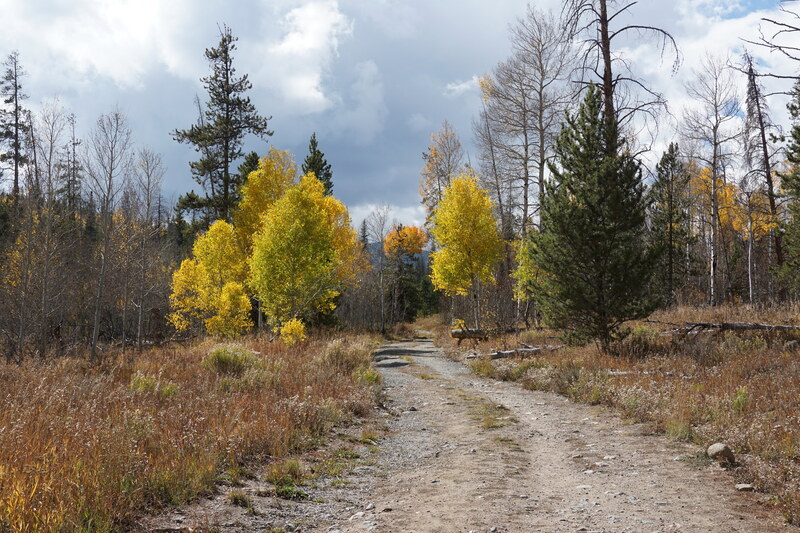
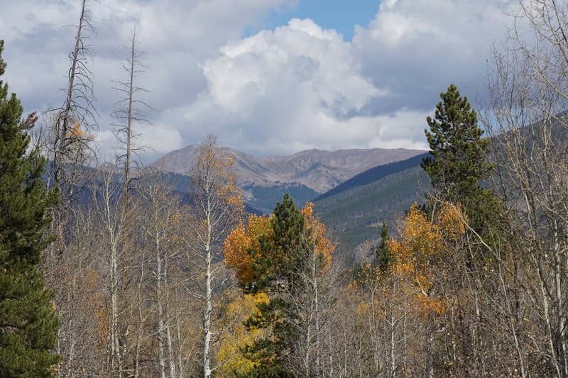
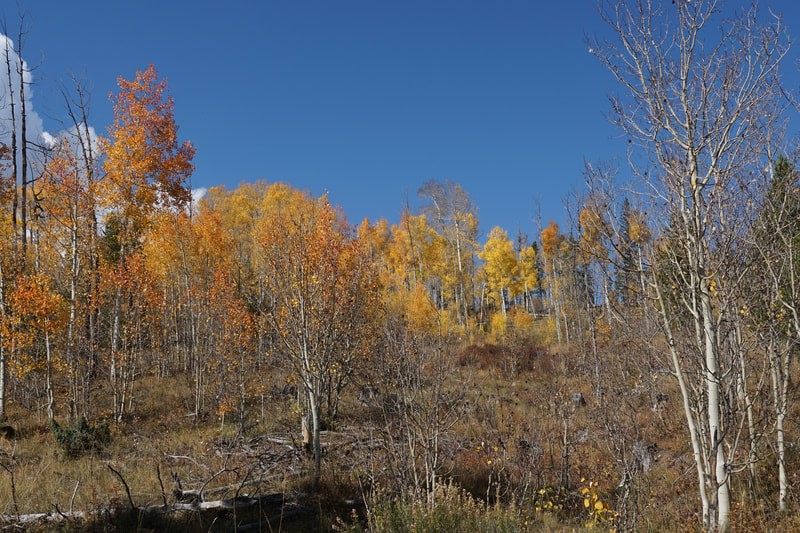
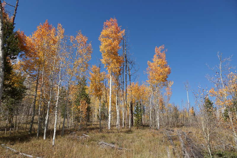
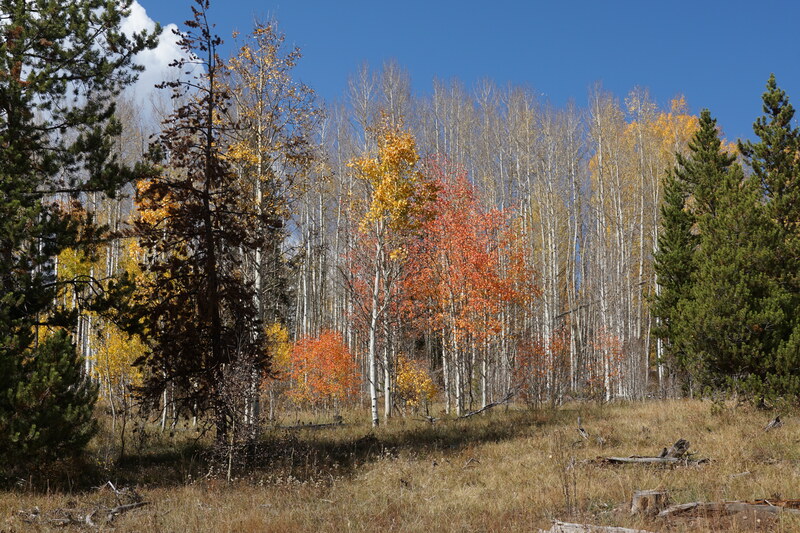
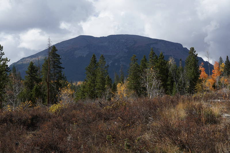
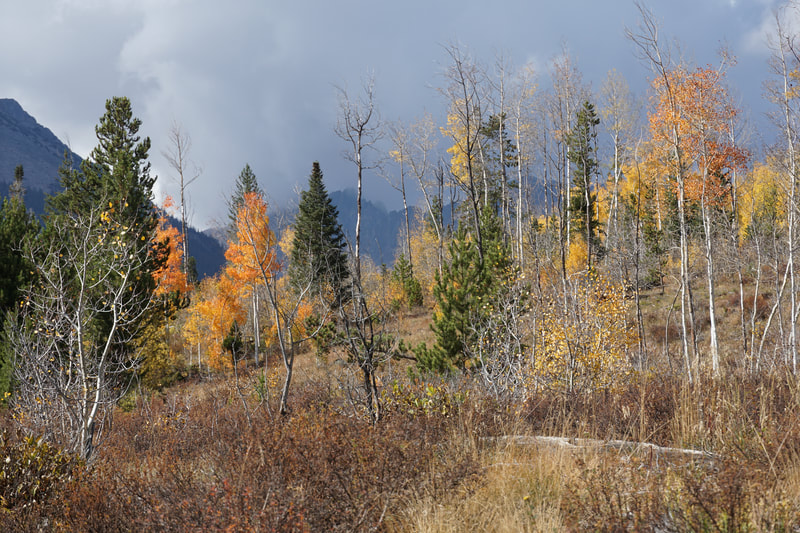
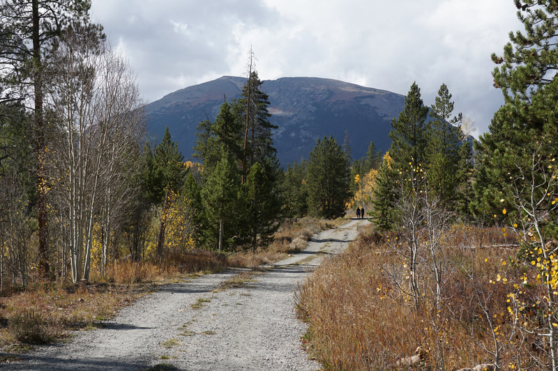
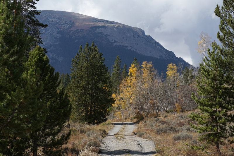
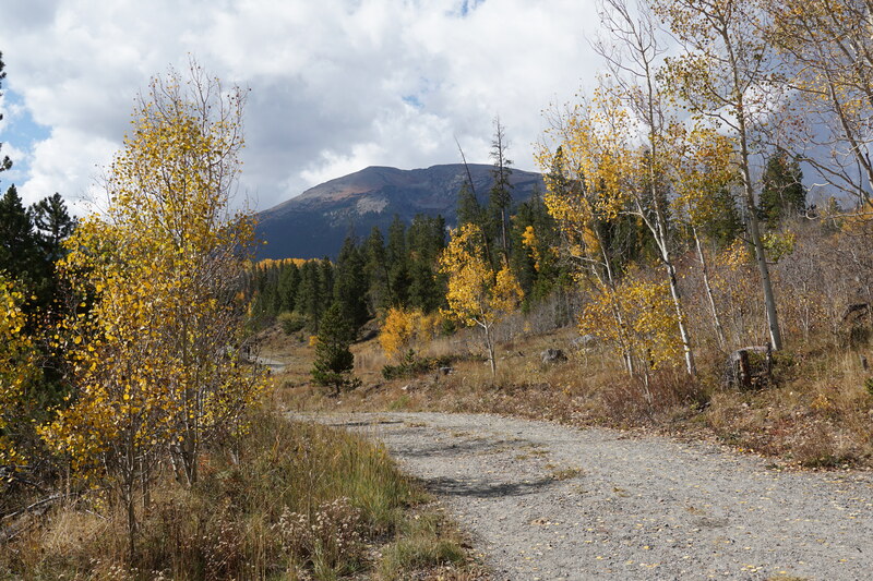
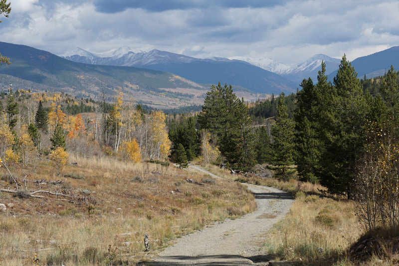
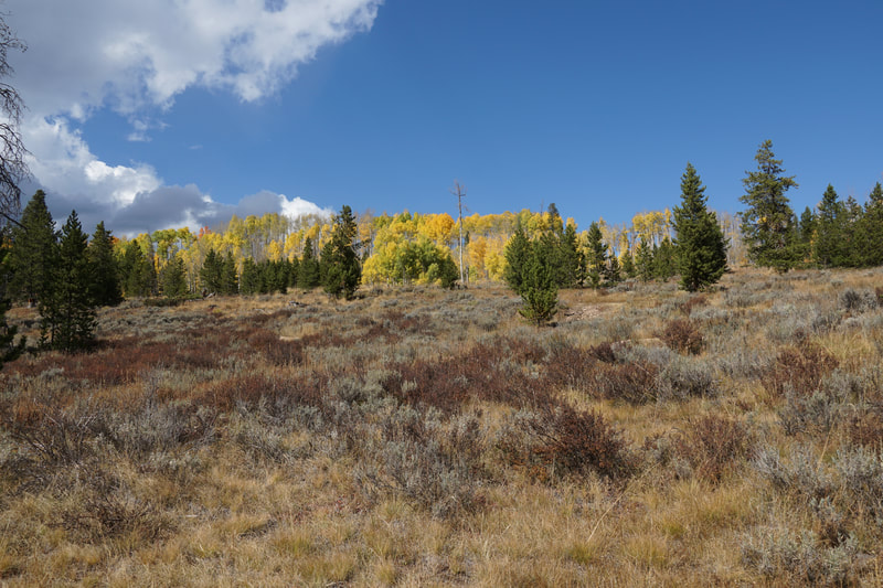
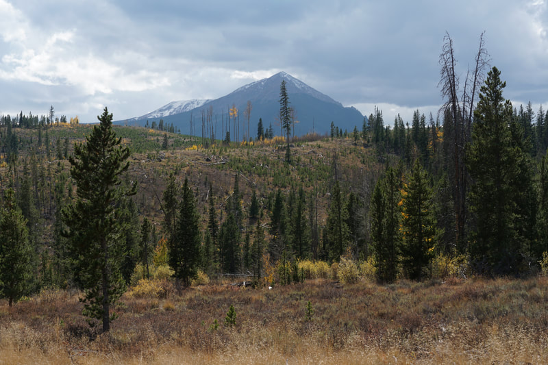
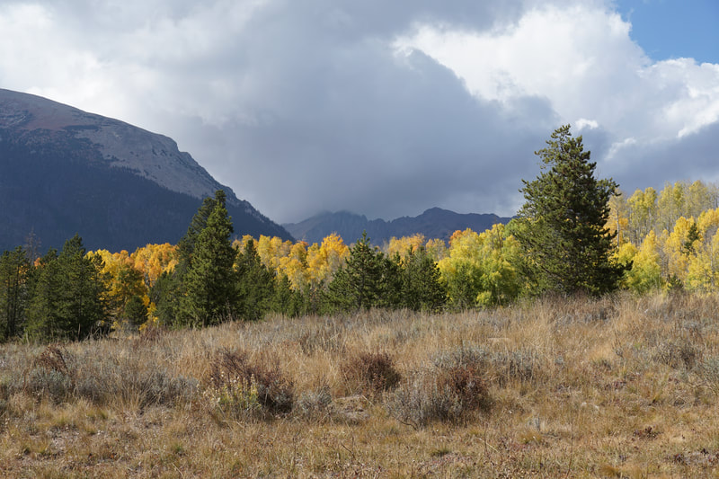
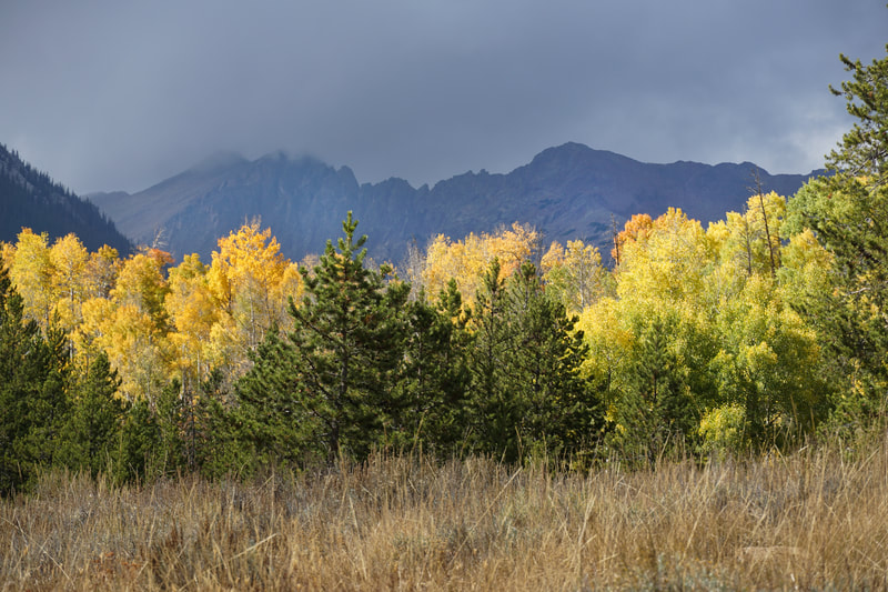
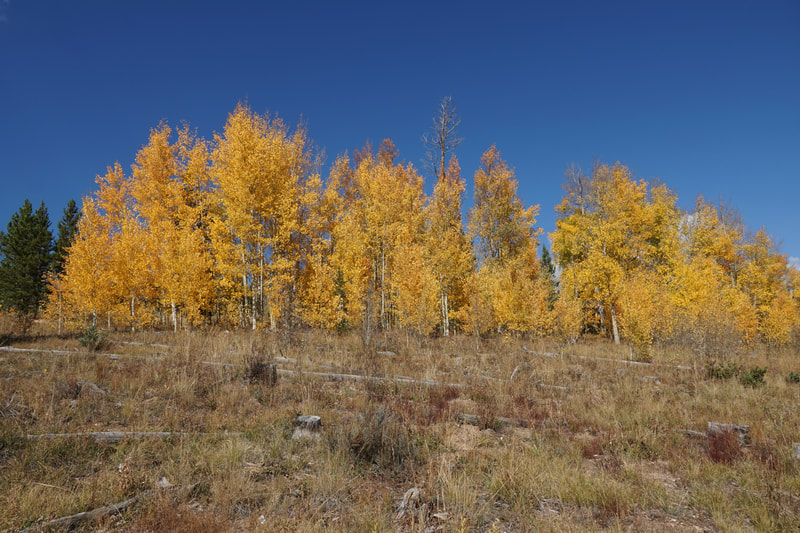
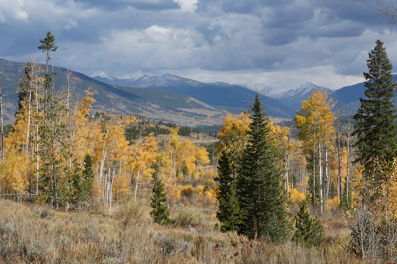
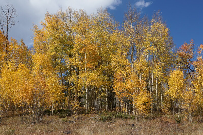
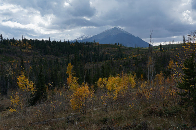
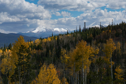
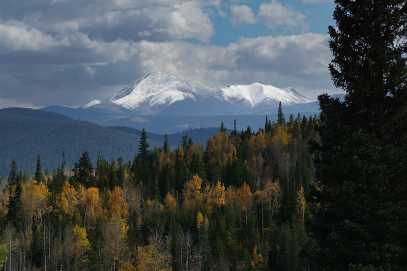
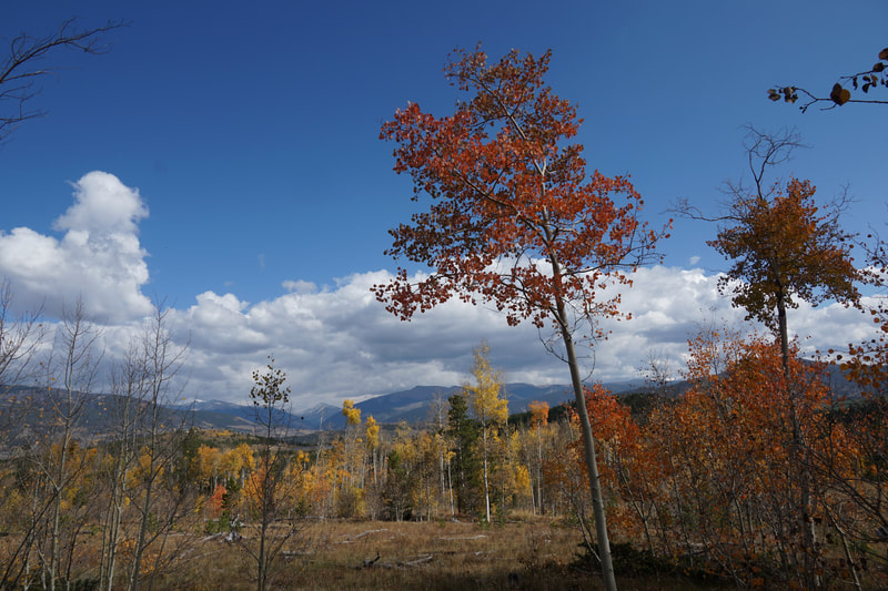
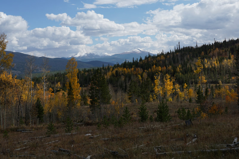
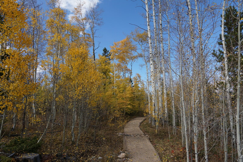
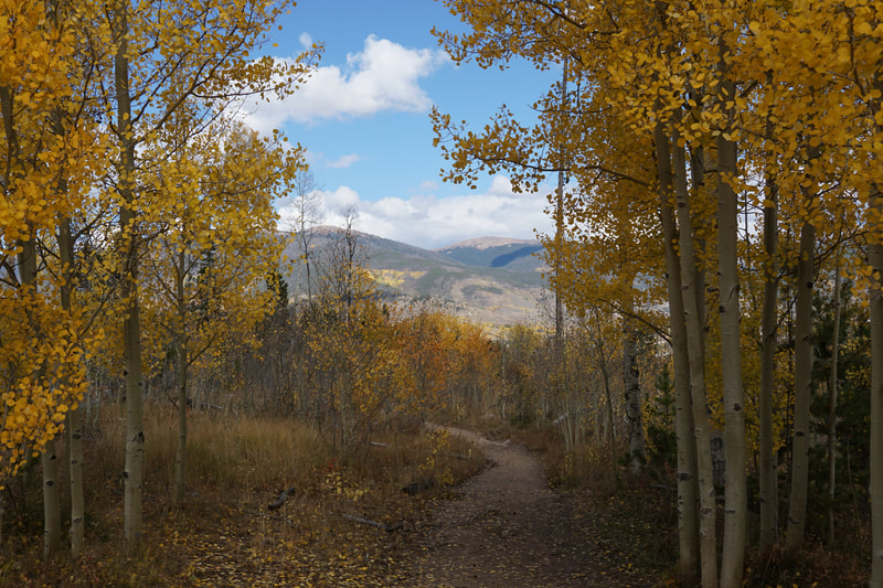
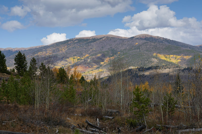
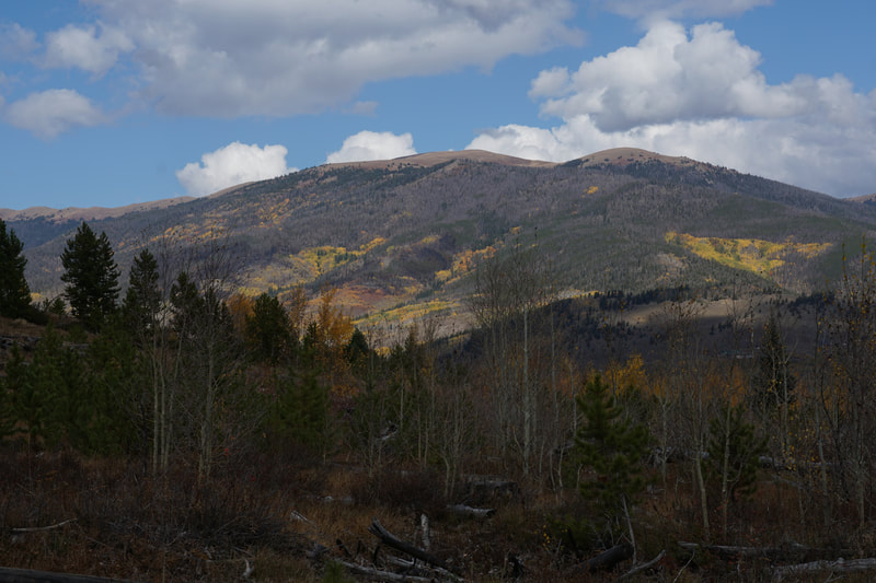
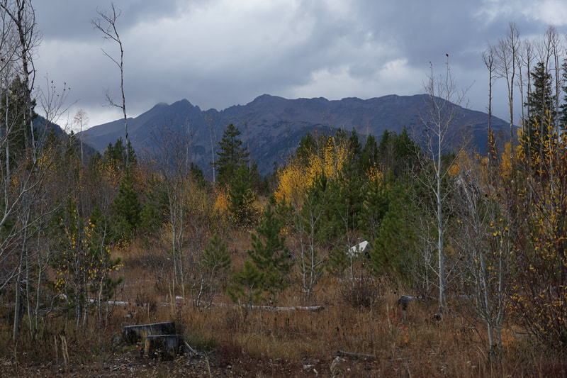
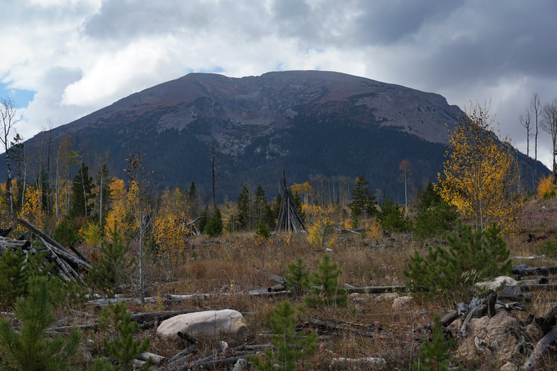
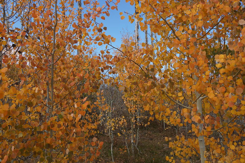
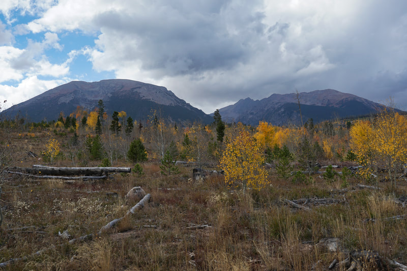
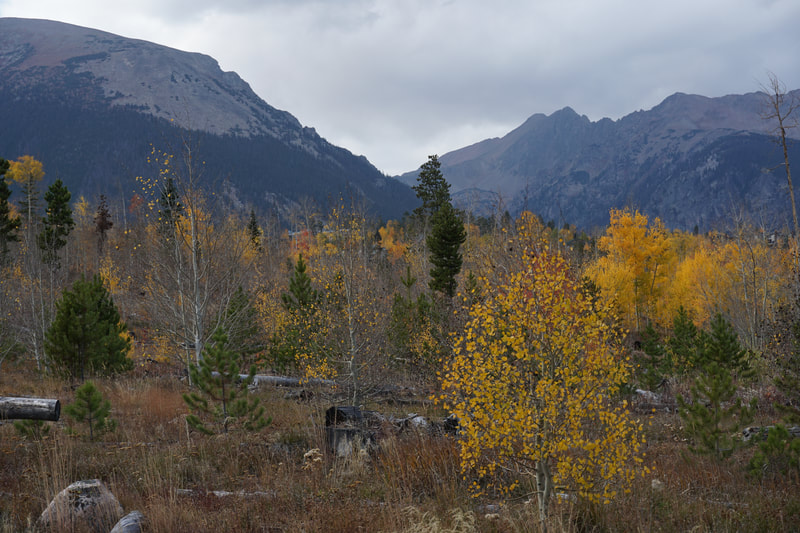
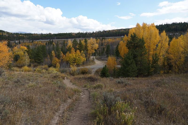
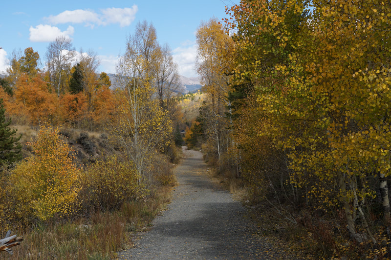
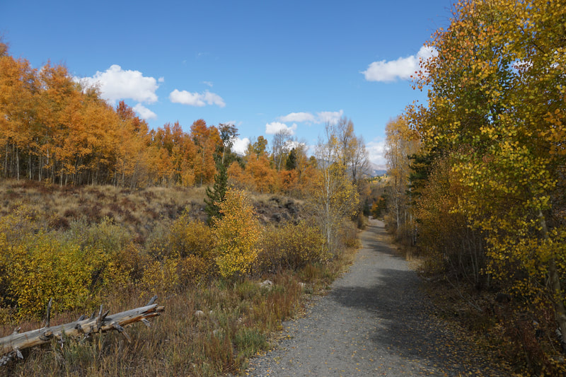
The Wildernest area just north of I-70 in Silverthorne, CO is an amazing spot for fall colors. The southern slopes of Buffalo Mountain, just outside of the Eagle's Nest Wilderness Area are covered by aspen groves. The area also provides mountain views of the Gore, Front Range, and Tenmile mountain ranges. The hiking here is pretty easy so this a a good spot for hiking with kids, a leisurely stroll, or you can piece together longer loops for an aerobic workout.
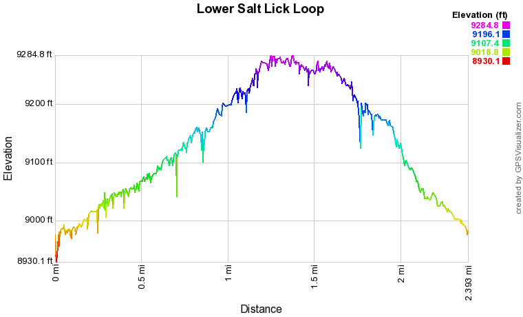
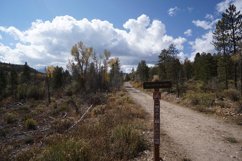
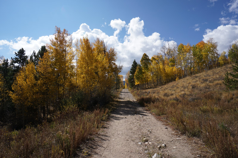
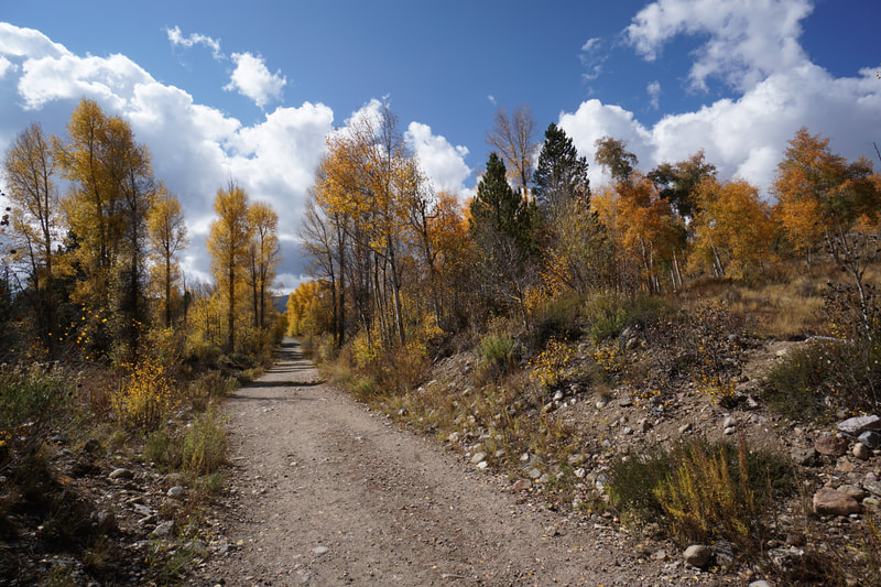
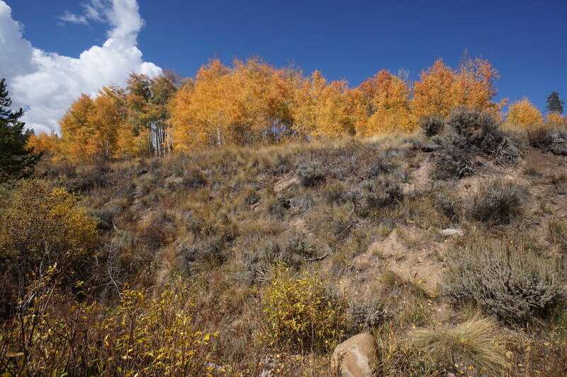
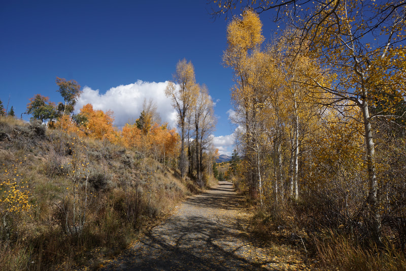
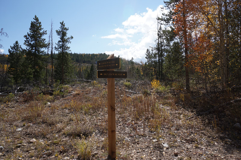
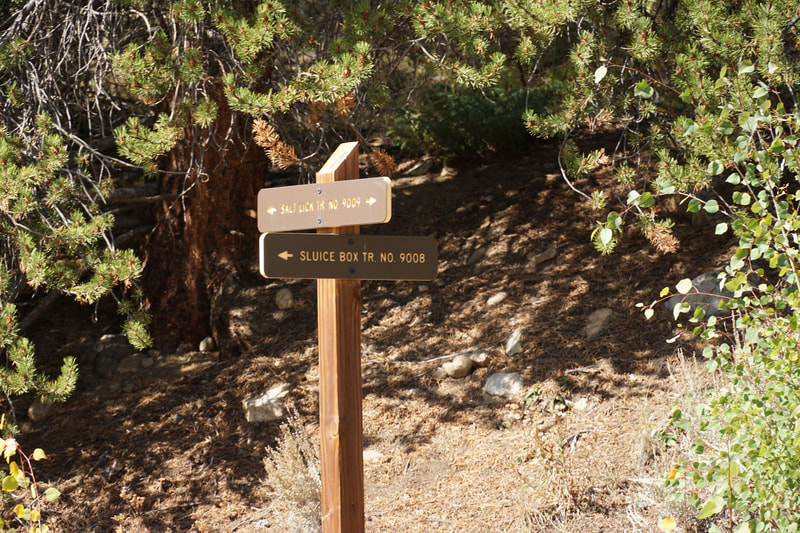
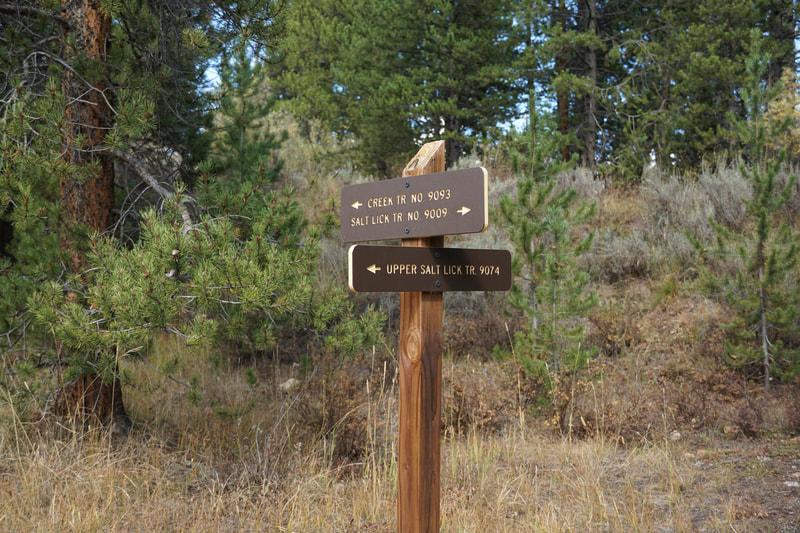
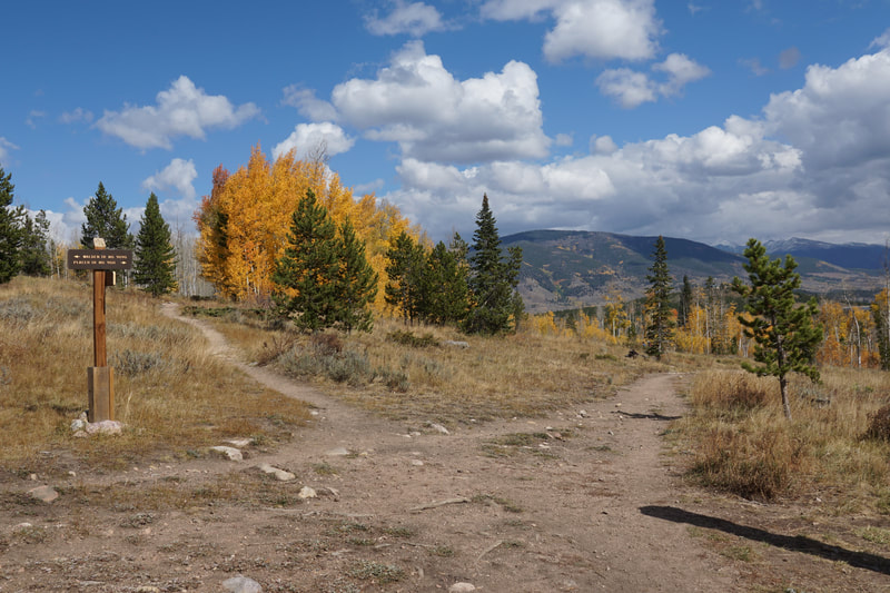
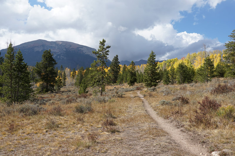
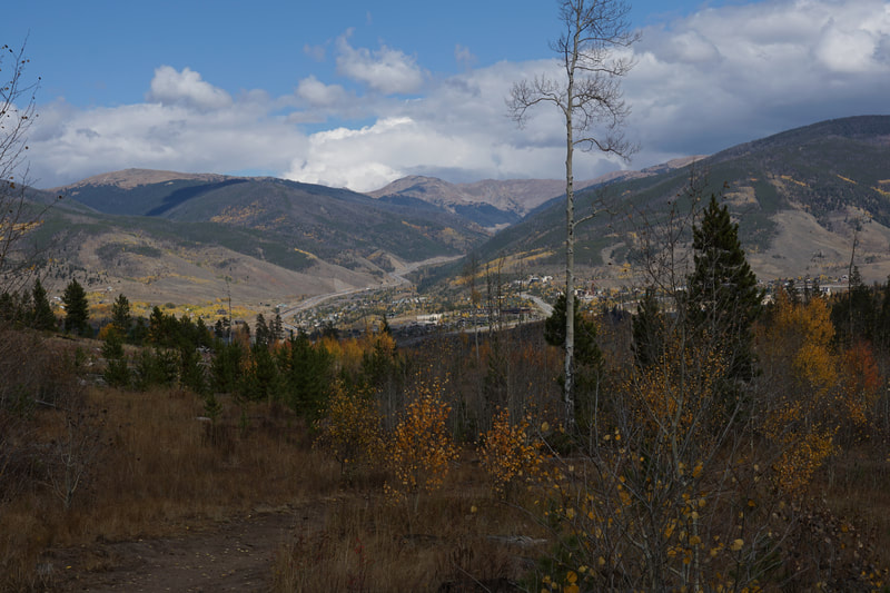
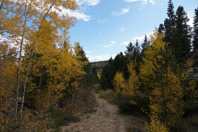
The Lower Salt Lick Loop is a good moderate loop, short enough for a half day adventure but long enough to feel good about. The trail heads west along a wide trail lined with aspen groves. As the trail climbs gradually in elevation the views open up, especially looking back east to the Front Range mountains. A quarter mile into the trail you'll see the Prospector Trail on the left heading uphill. Skip this, for now, and continue straight on the Salt Lick Trail. The next milestone is the junction with the Bohdi Trail .6 miles after the junction with the Prospector Trail. As the trail heads west astonishing views of Buffalo Mountain rise ahead. Pass by the Bohdi junction and ignore the next junction with the Sluicebox Trail. Head uphill and bear right. Here the Lower Salt Lick Trail ends and the Upper Salt Lick Trail begins and heads off to the left. Instead of following that trail, stay to the right on the Creek Trail and the Placer Trail. Follow the Placer Trail as it slightly descends and heads east. As you hike east on the Placer Trail be sure to look behind for great views of Buffalo and Red Mountain including a stunning sawtooth ridge on Red Mountain. As you hike east the views to the south also open up and provide wonderful views of Mt. Guyot and Bald Mountain. To the southeast you can also see views of Grays and Torrey's peaks (both 14ers). The trail descends further through even more aspen heading towards a residential area. Look to the left for the Prospector Trail which heads south along a somewhat steep trail following a natural gas pipeline. This trail connects back to the Lower Salt Lick Trail. Turn left and head east back to the trailhead. This trail, and this area in general, is a great hiking area year round...also good for snowshoeing or skiing in the winter. In the fall, late September, early October, this area truly shines. The aspen's in this area are plentiful and add to the scenic beauty of this trail system. |
- HOME
- ABOUT
-
HIKES BY REGION
-
NATIONAL PARK HIKES
- BENT'S OLD FORT NATIONAL HISTORIC SITE
- BLACK CANYON OF THE GUNNISON NATIONAL PARK
- COLORADO NATIONAL MONUMENT
- CURECANTI NATIONAL RECREATION AREA
- DINOSAUR NATIONAL MONUMENT
- FLORISSANT FOSSIL BEDS NATIONAL MONUMENT
- MESA VERDE NATIONAL PARK
- ROCKY MOUNTAIN NATIONAL PARK
- GREAT SAND DUNES NATIONAL PARK
- HOVENWEEP NATIONAL MONUMENT
- SAND CREEK MASSACRE NATIONAL HISTORIC SITE
- YUCCA HOUSE NATIONAL MONUMENT
- HIKES BY CATEGORY
- NEWS
- WEBCAMS
- $UPPORT GHC
- INTERACTIVE MAP
Lower Salt Lick Loop
White River National Forest
Date Hiked: October 2, 2021
Distance: 2.3 mi (RT)
Elevation Gain: 300 ft
Elevation Min/Max: 8,985 to 9,273 ft
Trailhead Lat/Long: 39.61558, -106.07484
Managing Agency: U.S. Forest Service
Fee: None

