
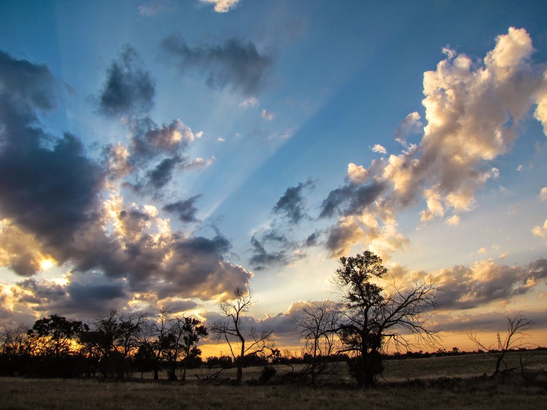
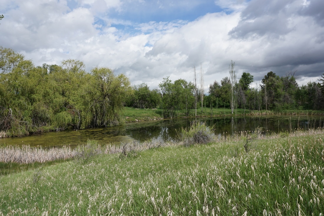
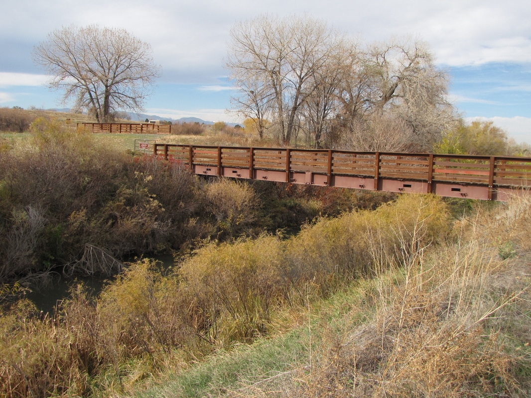
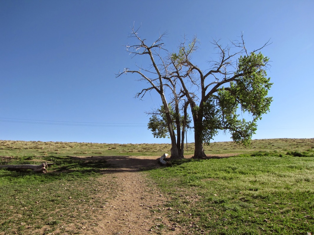
Denver is one of the best cities in the U.S. for hiking, there are literally hundreds of hiking options within the Denver Metro Area.
The Denver Area includes all of Denver, Arapaho, and Adams Counties. It also includes the Front Range foothills in Jefferson, Clear Creek County, and Gilpin County east of the Peak-to-Peak Highway (Hwy 72). The Front Range Mountains have their own region.
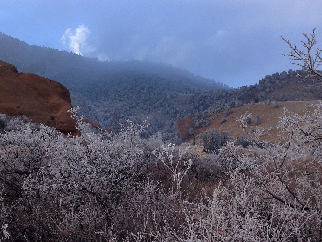
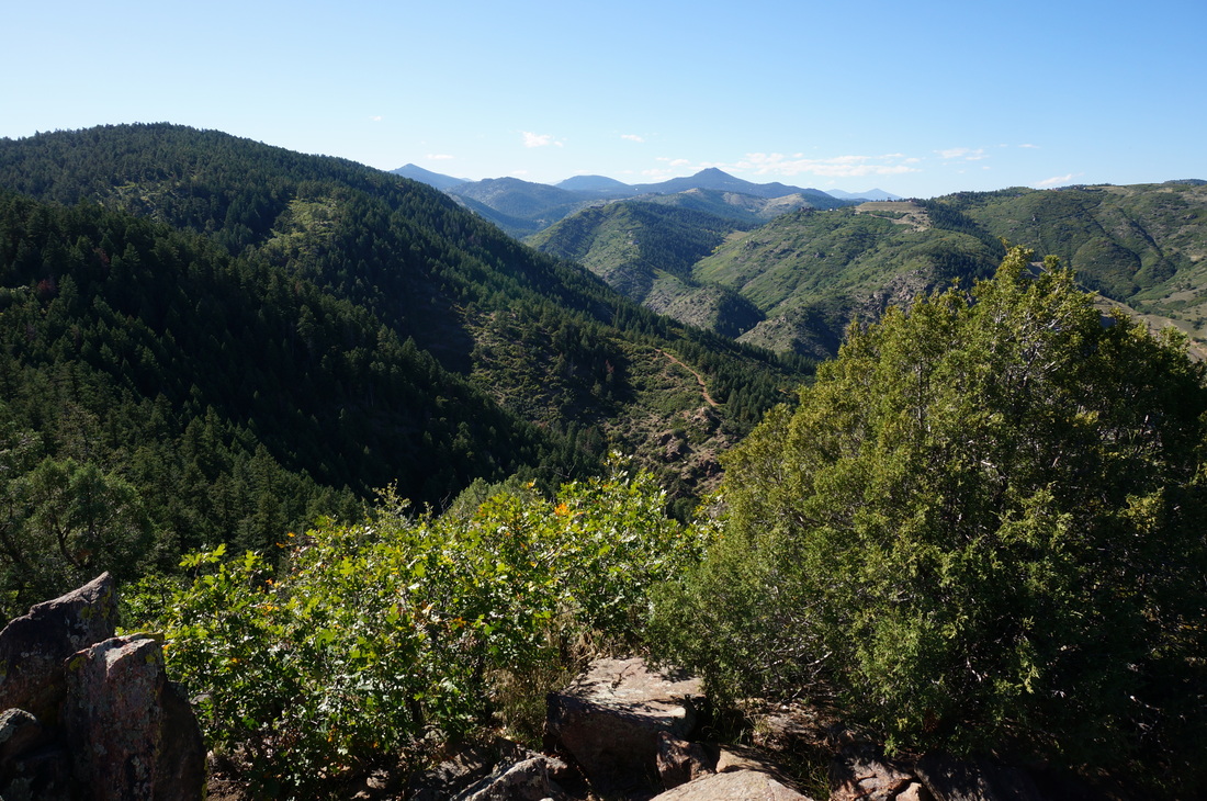
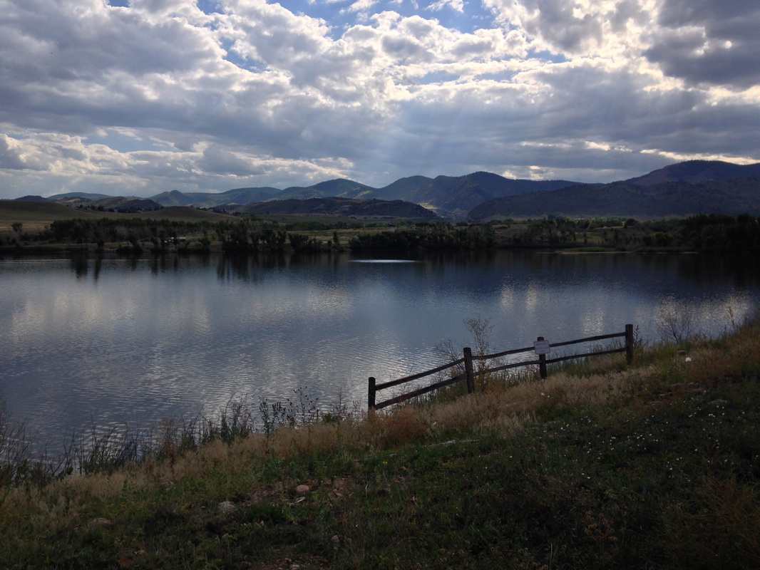
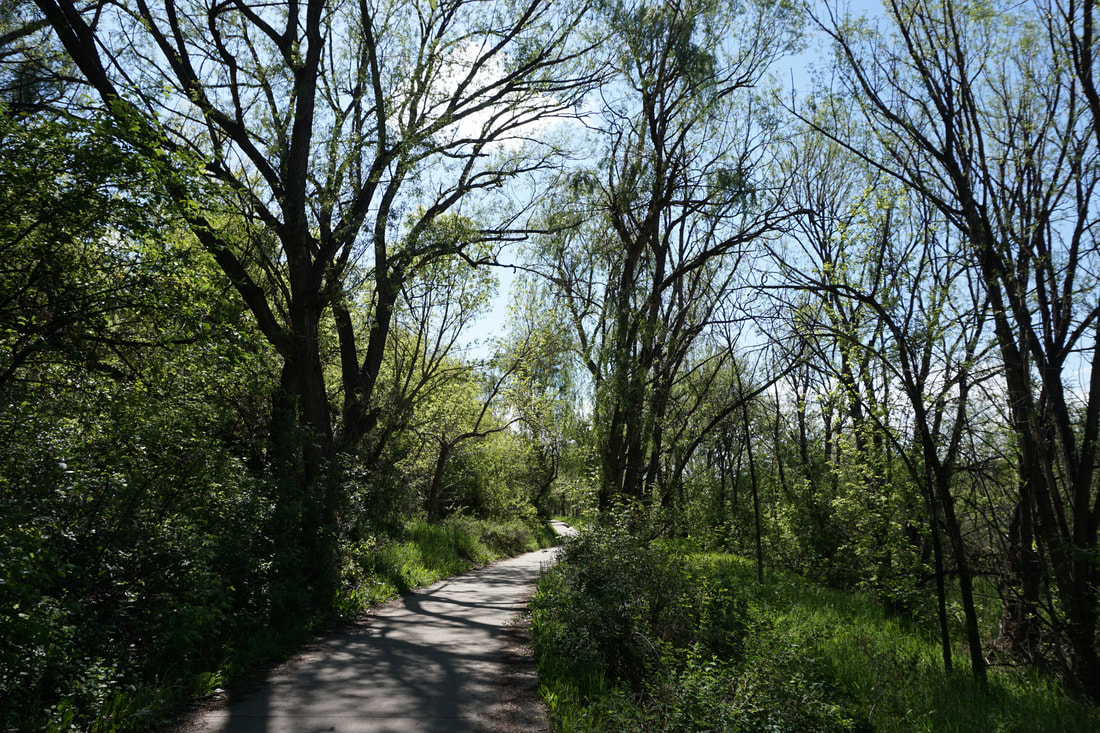
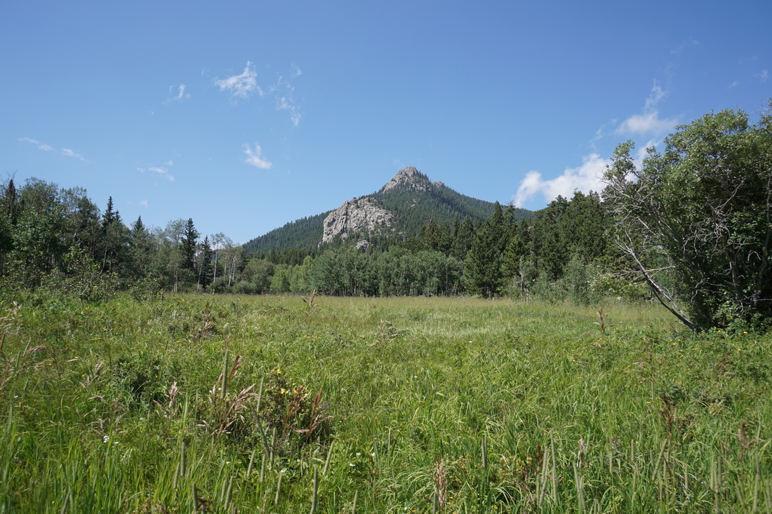
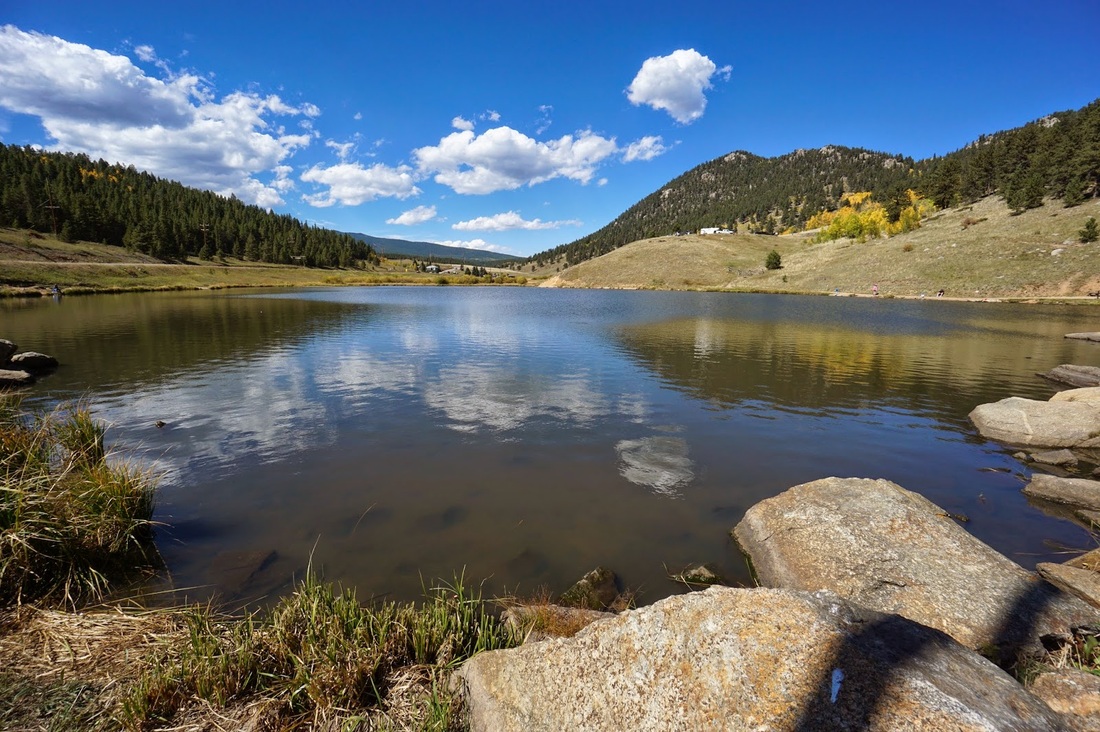
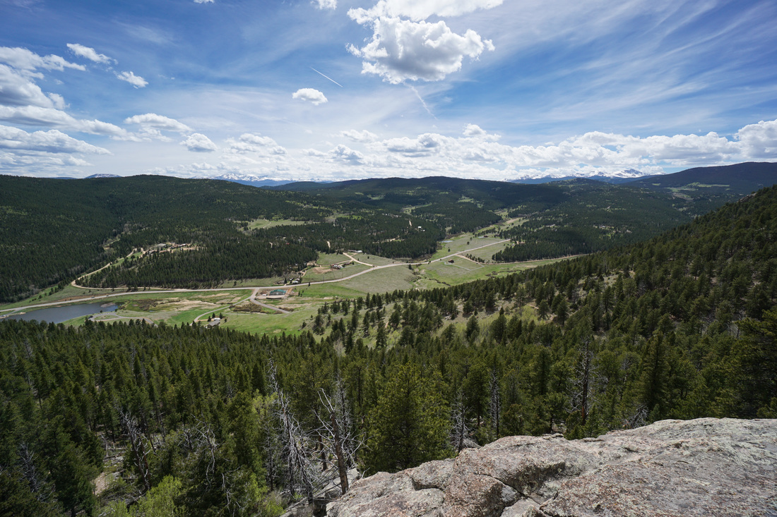
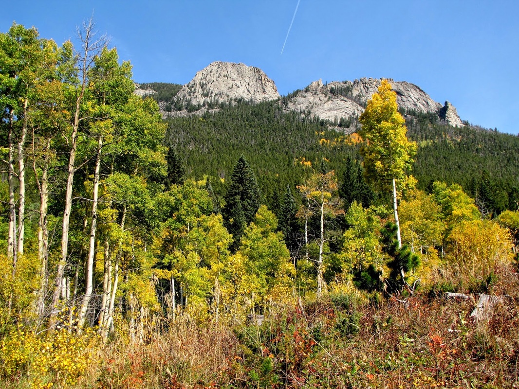
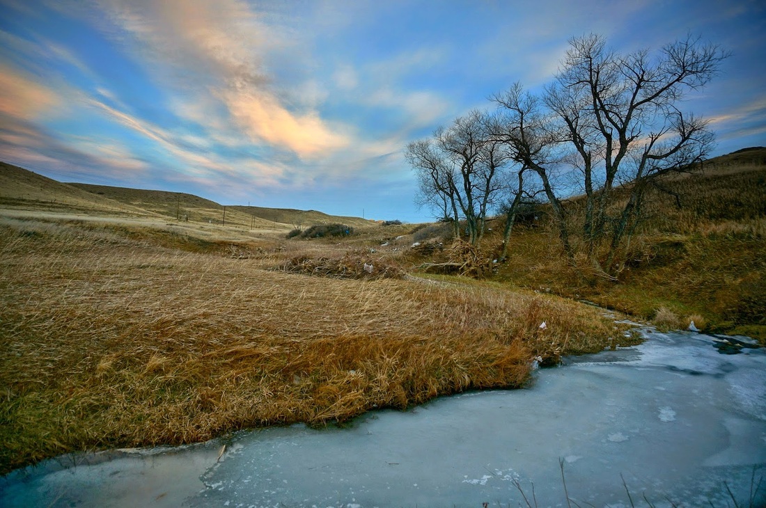
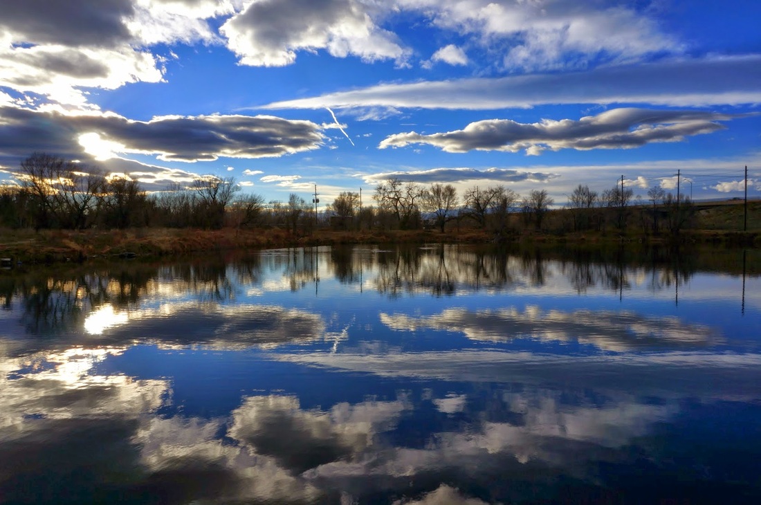
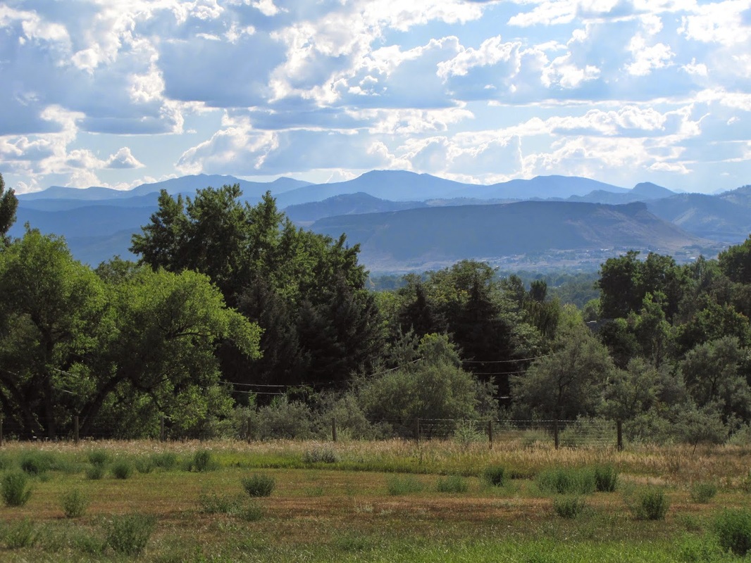
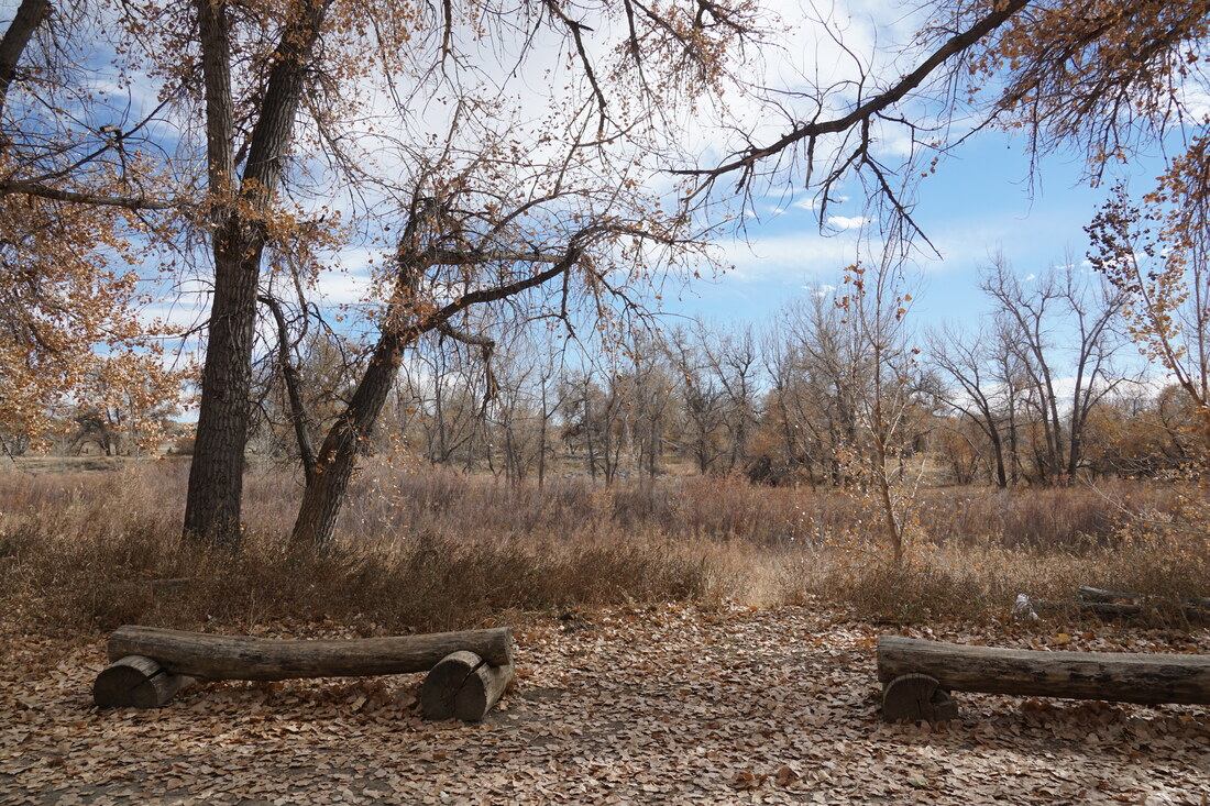
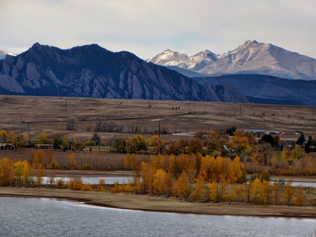
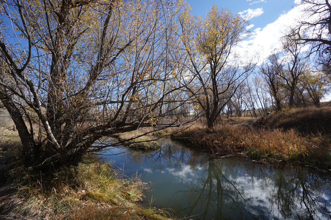
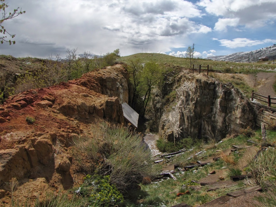
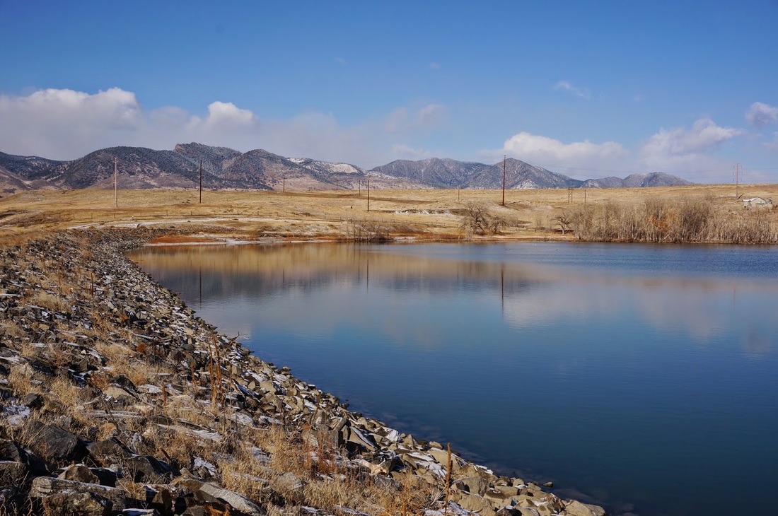
The map above shows all our hikes in the Denver Area. This page is also organized with photo thumbnails and links.
Due to the large number of hikes, the Jefferson County Open Space system, Denver Mountain Parks, and City of Lakewood Parks have their own pages which you can link to by clicking on the photos below. All other hikes in the Denver Area can be found on this page.
The Denver Area includes all of Denver, Arapaho, and Adams Counties. It also includes the Front Range foothills in Jefferson, Clear Creek County, and Gilpin County east of the Peak-to-Peak Highway (Hwy 72). The Front Range Mountains have their own region.
The map above shows all our hikes in the Denver Area. This page is also organized with photo thumbnails and links.
Due to the large number of hikes, the Jefferson County Open Space system, Denver Mountain Parks, and City of Lakewood Parks have their own pages which you can link to by clicking on the photos below. All other hikes in the Denver Area can be found on this page.
DENVER MOUNTAIN PARKS
|
JEFFERSON COUNTY OPEN SPACE
|
CITY OF LAKEWOOD PARKS
|
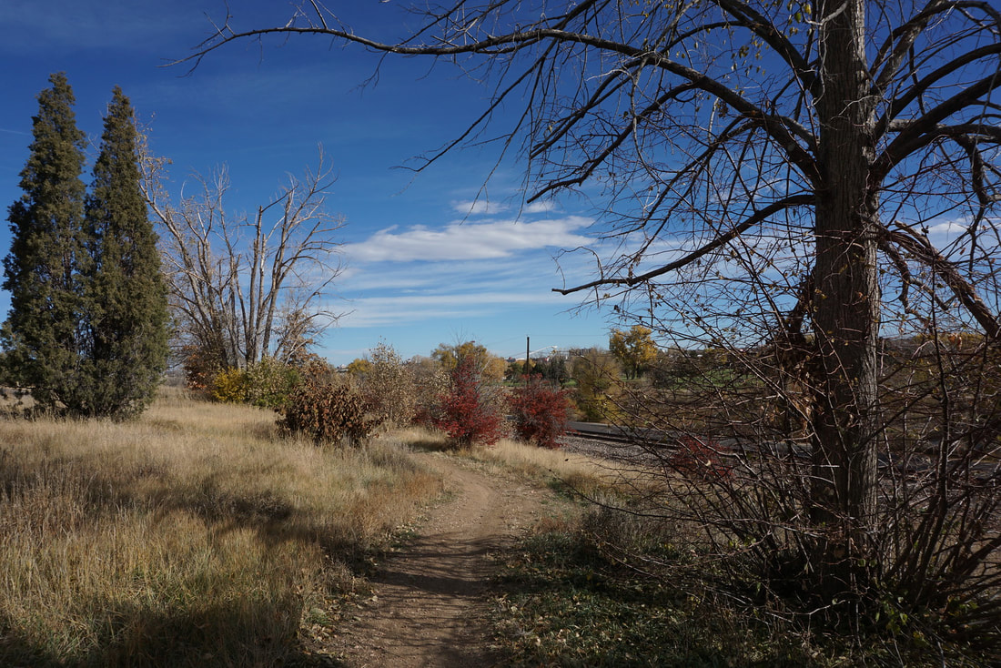
DENVER AREA GREENWAYS
|
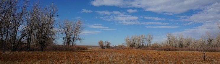
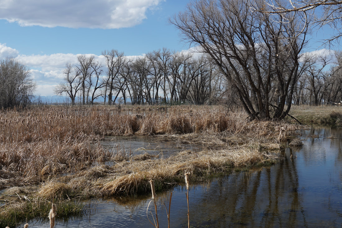
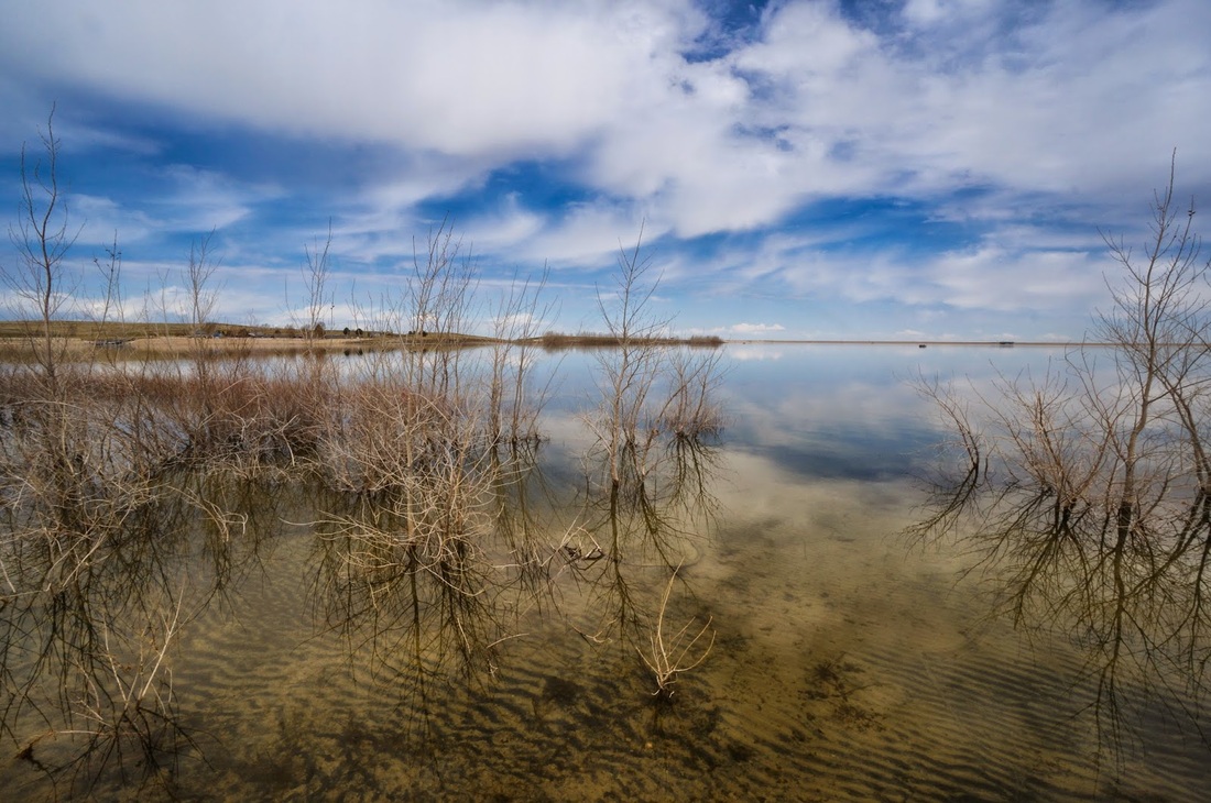
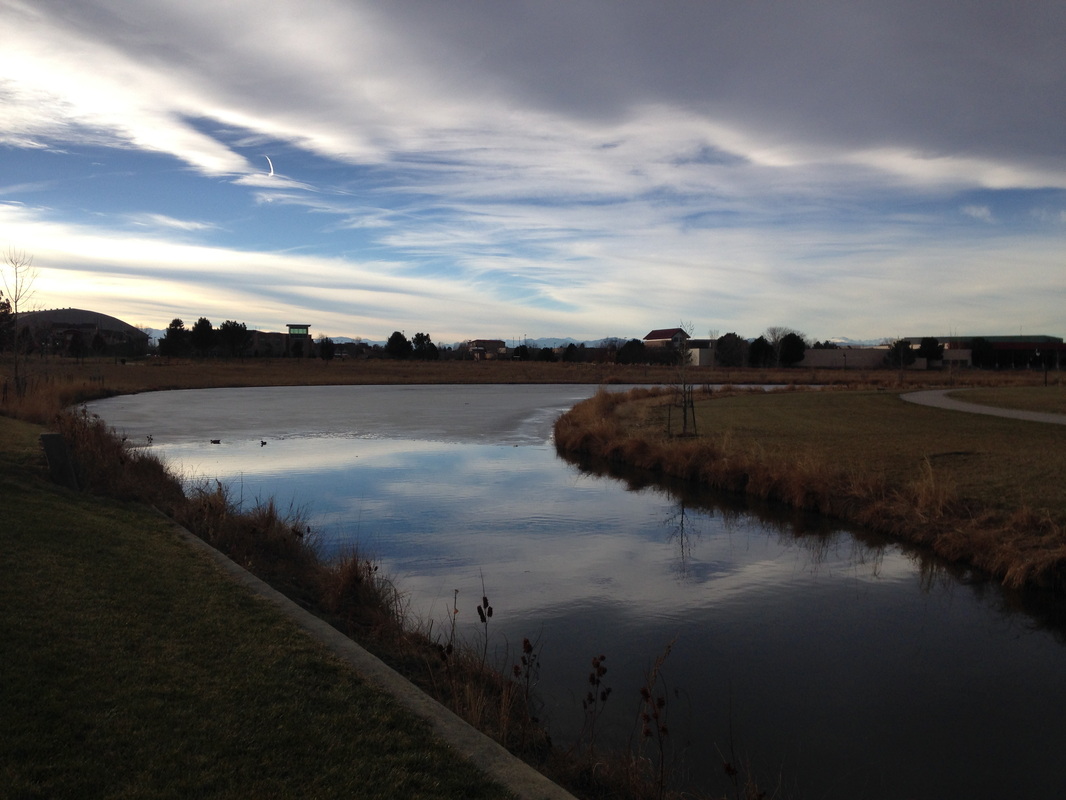
Barr Lake State Park
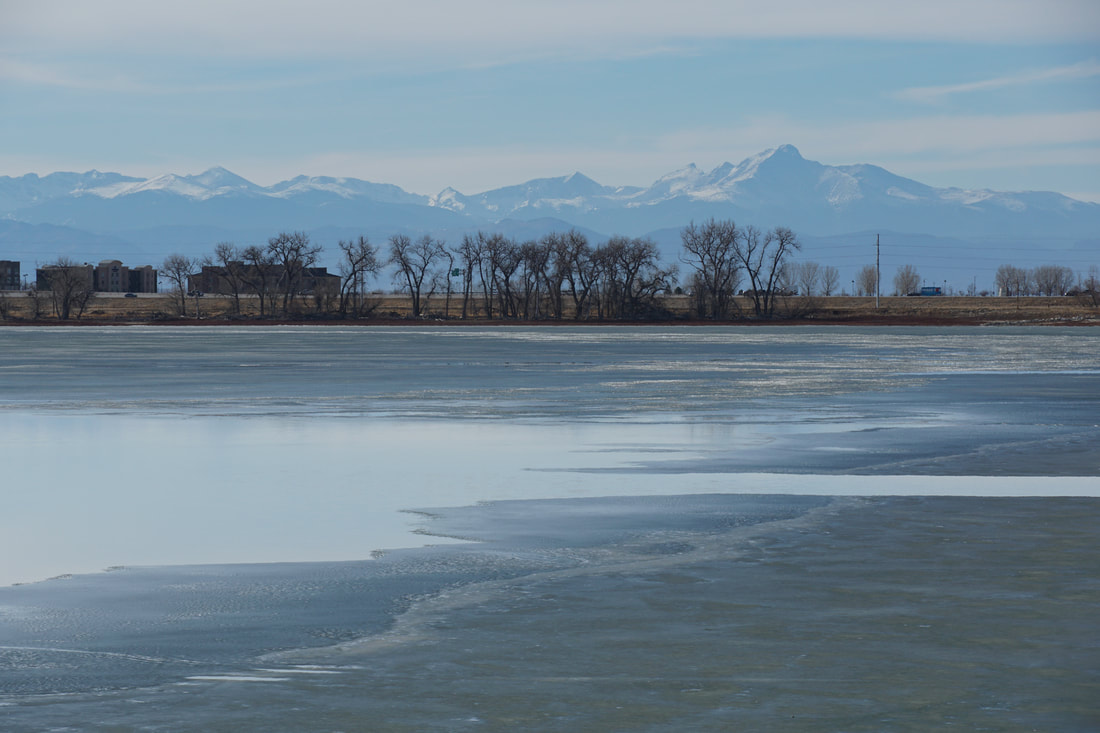
Barr Lake Dam Crest Trail
2.5 mi (RT); minimal elevation gain |
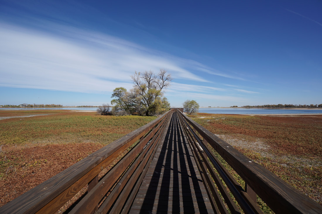
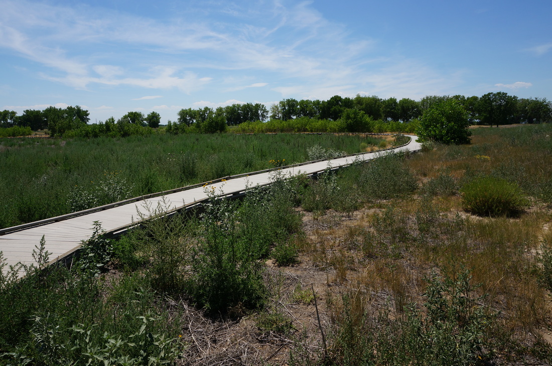
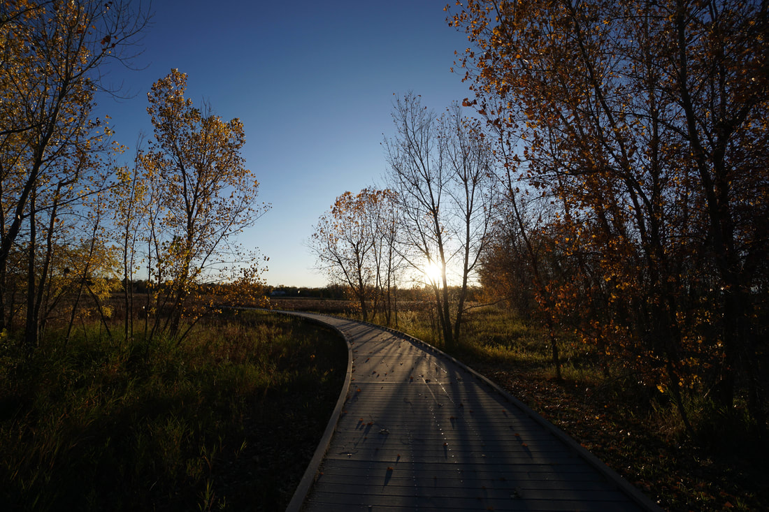
Gazebo Boardwalk & Fox Meadow Trail
3.5 mi (RT); 190 ft elevation gain |
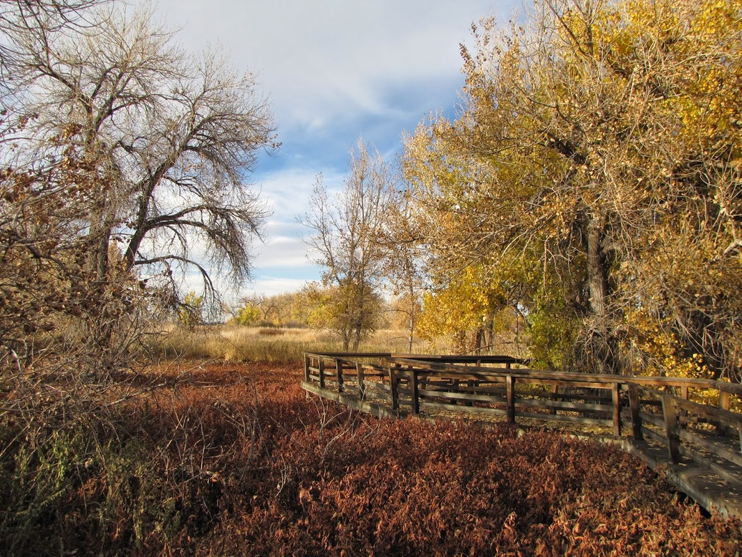
Neidrach Nature Trail
.7 mi (RT); minimal elevation gain |
|
|
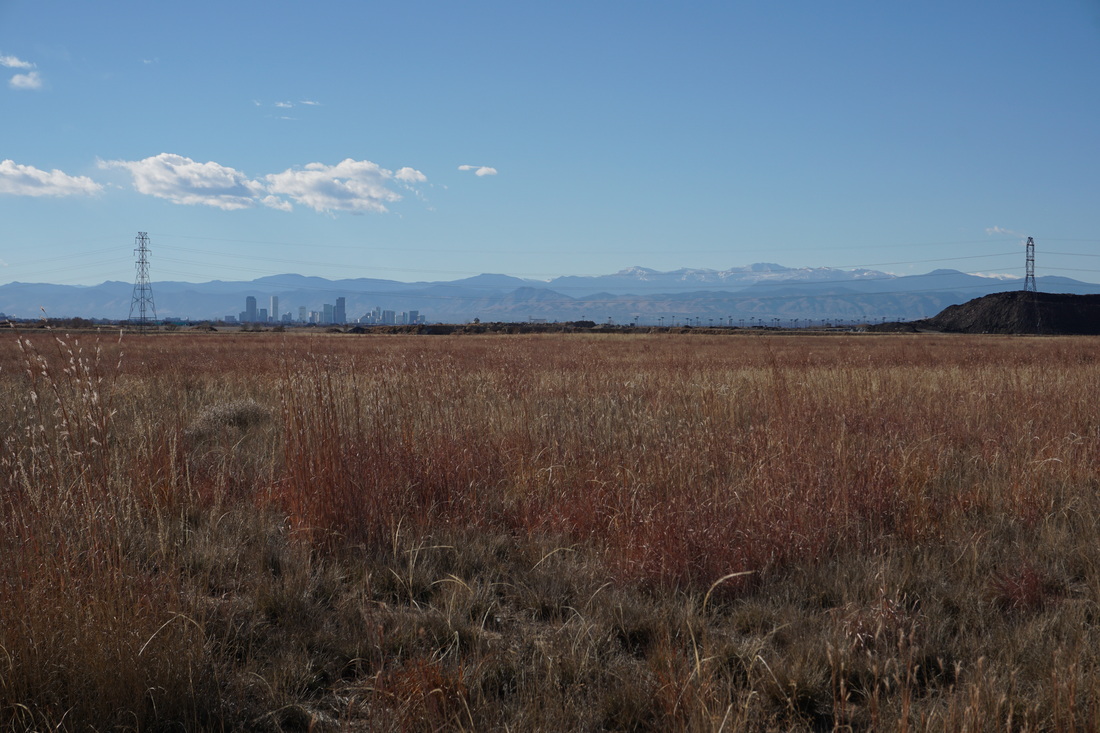
Cherry Creek State Park |
|
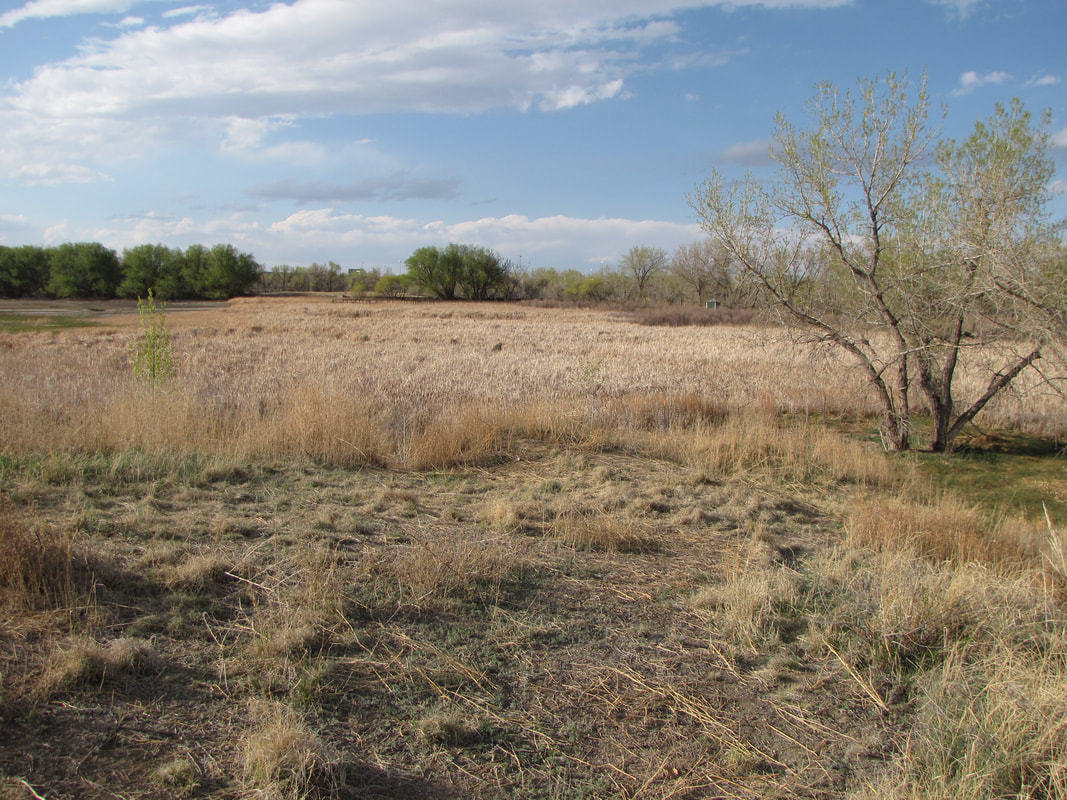
Wetlands Preserve
1.8 mi (RT); 200 ft elevation gain
1.8 mi (RT); 200 ft elevation gain
|
|
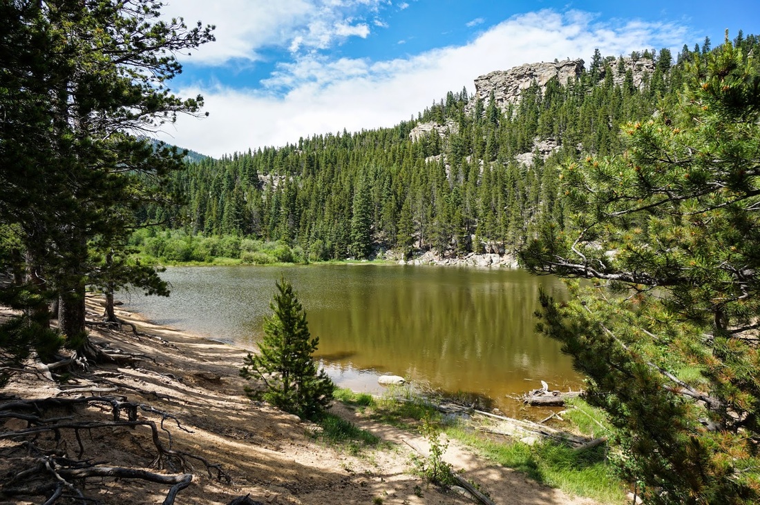
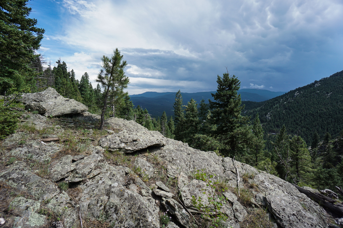
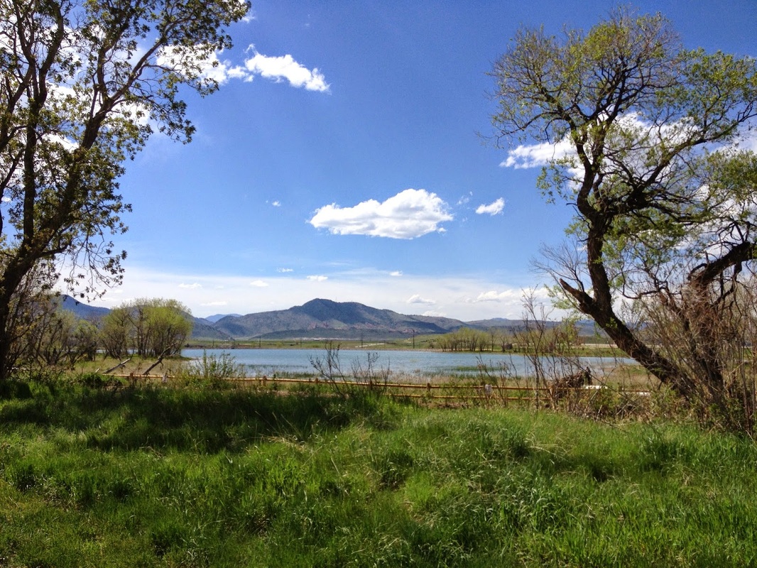
Staunton State Park |
|
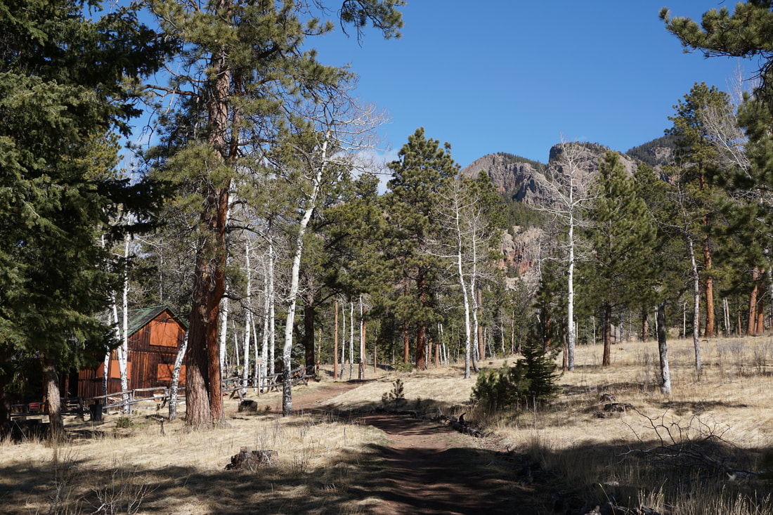
Chase Meadows &
Historic Cabin District Trails 3.1 mi (RT); 434 ft elevation gain |
Davis Ponds
2 mi (RT); 400 ft elevation gain |
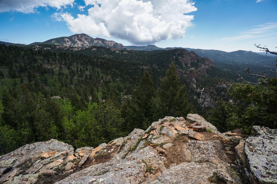
Elk Falls Overlook
11 mi (RT); 2,084 ft elevation gain |
|
|
Golden Gate Canyon State Park |
|
Beaver Trail
3.5 mi (RT); 1,000 ft elevation gain |
Frazer Meadow
5.3 mi (RT); 1,435 ft elevation gain |
Kriley Pond
.3 mi (RT); minimal elevation gain |
Mule Deer > Coyote Loop
5.6 mi (RT); 1,043 ft elevation gain |
Raccoon Trail (Panorama Point)
4 mi (RT); 1,338 ft elevation gain |
Snowshoe Hare Trail
3 mi (RT); 726 ft elevation gain |
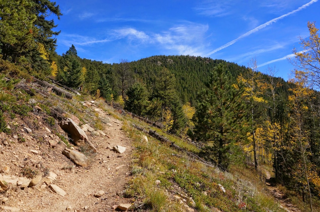
Windy Peak
(Mt. Lion & Burro Trails) 6 mi (RT); 1,657 ft elevation gain |

|
|
|
Rocky Mountain Arsenal National Wildlife Refuge |
|
Bluestem Loop
1.8 mi (RT); minimal elevation gain |
Discovery Loop & Legacy Trail
1.8 mi (RT); minimal elevation gain |
First Creek Trail
3.8 mi (RT); 130 ft elevation gain |
Havana Ponds
2 mi (RT); 120 ft elevation gain |
Lake Ladora Loop
3.2 mi (RT); minimal elevation gain |
Lake Mary Loop
.9 mi (RT); 100 ft elevation gain |
Locust Loop &
Army Historic Trail 1.4 mi (RT); minimal elevation gain |
Rattlesnake Hill
.4 mi (RT); 130 ft elevation gain |
Rod & Gun Club Ponds
8.5 mi (RT); 100 ft elevation gain |
|
|
Other Denver Area Hikes |
|
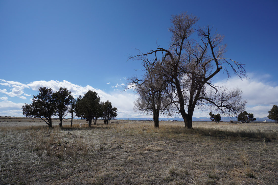
Adams County Regional Park
4 mi (RT); minimal elevation gain |
Aurora Reservoir
2.5 mi (RT); 198 ft elevation gain |
Bear Creek Park
1.2 mi (RT); 200 ft elevation gain |
Bear Valley Park
2 mi (RT); minimal elevation gain |
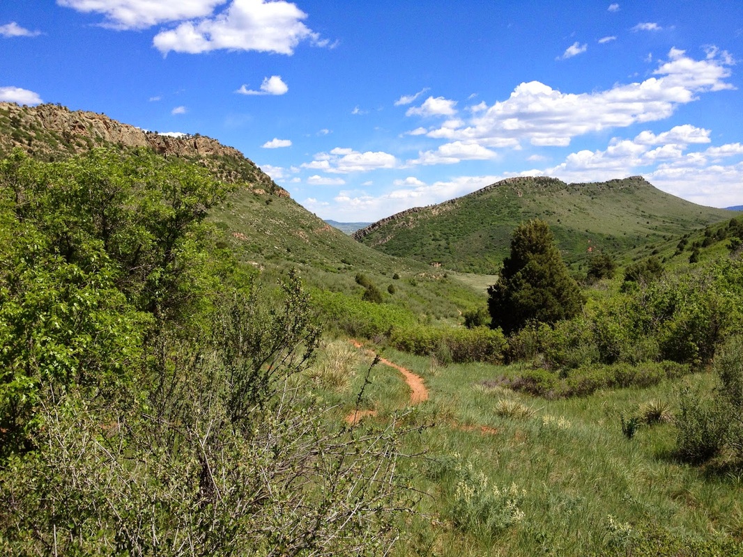
Bergen Peak State Wildlife Area
Upper Trailhead 2.5 mi (RT); 898 ft elevation gain |
Bergen Peak State Wildlife Area
Lower Trailhead 4.5 mi (RT); 1,500 ft elevation gain |
Bluff Lake Nature Center
1.5 mi (RT); minimal elevation gain |
Cathy Johnson Trail
Ken Caryl Ranch Open Space 3 mi (RT); 500 ft elevation gain |
Cherry Creek Valley Ecological Park
1.8 mi (RT); 150 ft elevation gain |
Clement Park
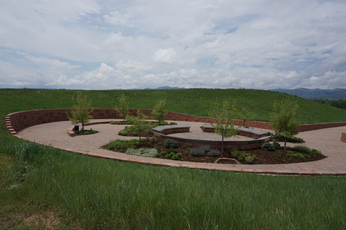
Columbine Memorial .75 mi (RT); minimal elevation gain |
Clement Park
Johnson Reservoir 1.6 mi (RT); minimal elevation gain |
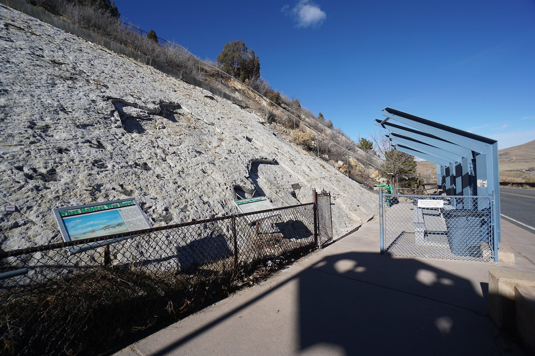
Dinosaur Ridge Trail
2 mi (RT); 375 ft elevation gain |
Eastlake #3 Nature Preserve
1.7 mi (RT); minimal elevation gain |
Elaine T. Valente Open Space
1.8 mi (RT); minimal elevation gain |
Evergreen Lake Nature Trail
1.4 mi (RT); 300 ft elevation gain |
Fehringer Ranch
2.3 mi (RT); 127 ft elevation gain |
Grandview Ponds
.7 mi (RT); minimal elevation gain |
Great Lawn Park &
Kelley Road Reservoir 2.3 mi (RT); 277 ft elevation gain |
Harriman Lake Park
1.7 mi (RT); minimal elevation gain |
Jim Baker Reservoir
1.4 mi (RT); minimal elevation gain |
Jewell Wetlands
2.1 mi (RT); 165 ft elevation gain |
Leyden Creek Trail
Pattridge Park & Open Space 3.5 mi (RT); 360 ft elevation gain |
Lowell Ponds State Wildlife Area
1.8 mi (RT); minimal elevation gain |
Majestic View Park - Cattail Trail
1.5 mi (RT); 300 ft elevation gain |
Parker Jordan Centennial Open Space / Cherry Creek Trail Loop
2.2 mi (RT); minimal elevation gain |
Prairie Gateway Open Space
1.9 mi (RT); minimal elevation gain |
Pronghorn Natural Area - North Section
City of Aurora 2.8 mi (RT); 150 ft elevation gain |

Ralston Creek Trail
Arvada Reservoir 3.7 mi (RT); 290 ft elevation gain |
Richmill Ranch Open Space
Arapaho County Open Space 1.8 mi (RT); 150 ft elevation gain |
Rocky Flats Nat. Wildlife Refuge
Walnut Creek > Lindsay Ranch Loops 6.2 mi (RT); 300 ft elevation gain |
Ruby Hill Park Loop
1.75 mi (RT); 120 ft elevation gain |
Sand Creek Park
1 mi (RT); minimal elevation gain |
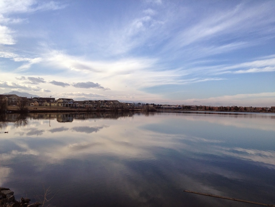
South Platte Park
S.Platte Reservoir & Lakes Area 5 mi (RT); 150 ft elevation gain |
South Platte Park
Northern Wildlife Area 1.4 mi (RT); minimal elevation gain |
Standley Lakes Regional Park
South Open Space Trails 3.6 mi (RT); 300 ft elevation gain |
Star K Ranch
2.7 mi (RT); minimal elevation gain |
Triceratops Trail
Dinosaur Ridge 1.5 mi (RT); 100 ft elevation gain |
Tucker Lake - Ralston Creek Trail
3.5 mi (RT); minimal elevation gain |
Two Ponds
National Wildlife Refuge Environmental Education Zone 1 mi (RT); 195 ft elevation gain |
Two Ponds National Wildlife Refuge
Prairie Management Zone 2 mi (RT); 100 ft elevation gain |
Westminster Hills Open Space
Mower Reservoir 3.5 mi (RT); 300 ft elevation gain |

Wynetka Ponds
.75 mi (RT); 100 ft elevation gain |
