GO HIKE COLORADO
Get in Touch:
  • HOME
  • ABOUT
  • HIKES BY REGION
    • DENVER AREA >
      • Denver Mountain Parks
      • Jefferson County Open Space
      • Lakewood Parks
      • Denver Area Greenways
    • BOULDER AREA
    • DOUGLAS COUNTY
    • FORT COLLINS AREA
    • COLORADO SPRINGS AREA
    • FRONT RANGE
    • TENMILE & MOSQUITO RANGES
    • GORE RANGE
    • SANGRE DE CRISTO MOUNTAINS
    • PARK RANGE
    • SAWATCH RANGE
    • ELK MOUNTAINS
    • SAN JUAN MOUNTAINS
    • THE FLAT TOPS
    • GRAND MESA
    • COLORADO PLATEAU
    • EASTERN PLAINS
  • NATIONAL PARK HIKES
    • BENT'S OLD FORT NATIONAL HISTORIC SITE
    • BLACK CANYON OF THE GUNNISON NATIONAL PARK
    • COLORADO NATIONAL MONUMENT
    • CURECANTI NATIONAL RECREATION AREA
    • DINOSAUR NATIONAL MONUMENT
    • FLORISSANT FOSSIL BEDS NATIONAL MONUMENT
    • MESA VERDE NATIONAL PARK
    • ROCKY MOUNTAIN NATIONAL PARK
    • GREAT SAND DUNES NATIONAL PARK
    • HOVENWEEP NATIONAL MONUMENT
    • SAND CREEK MASSACRE NATIONAL HISTORIC SITE
    • YUCCA HOUSE NATIONAL MONUMENT
  • HIKES BY CATEGORY
    • HIKES TO ALPINE LAKES
    • HIKES TO PEAKS & PASSES
    • HIKES THROUGH CANYONS
    • HIKES WITH FALL COLORS
    • HIKES ALONG THE I-70 CORRIDOR
    • HIKES ON PAVED TRAILS
    • HIKES FOR KIDS
    • HIKES TO WATERFALLS
    • HIKES ALONG RIVERS
    • HIKES WITH ROCK FORMATIONS
    • HIKES WITH WILDFLOWERS
    • WINTER HIKES
  • NEWS
  • WEBCAMS
  • $UPPORT GHC
  • INTERACTIVE MAP

Mower Reservoir
Westminster Hills Open Space

Date Hiked: January 13, 2013

​Distance: Loop = 2.2 mi (RT) 3.5 mi (RT) full hike to Mower Reservoir
Elevation Gain: 300ft
Elevation: 5,486
Managing Agency: City of Westminster Parks and Recreation
Fee: None

Westminster Hills Website & Map
Picture

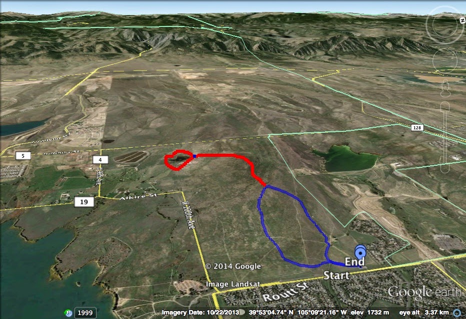
Directions:  From I70 take Wadsworth Blvd north and turn left on 100th Ave.  Turn right on Simms Street and turn left into the Westminster Hills Parking Area and trailhead.

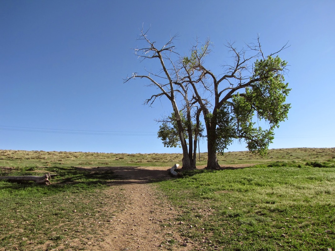
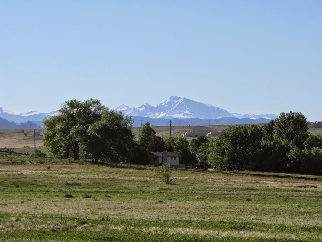
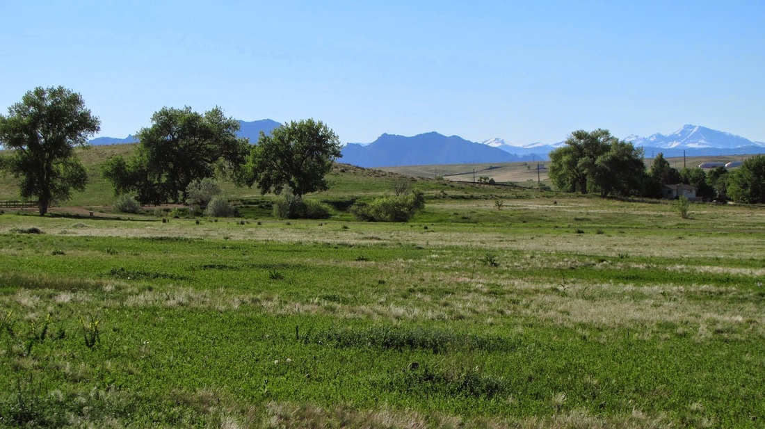
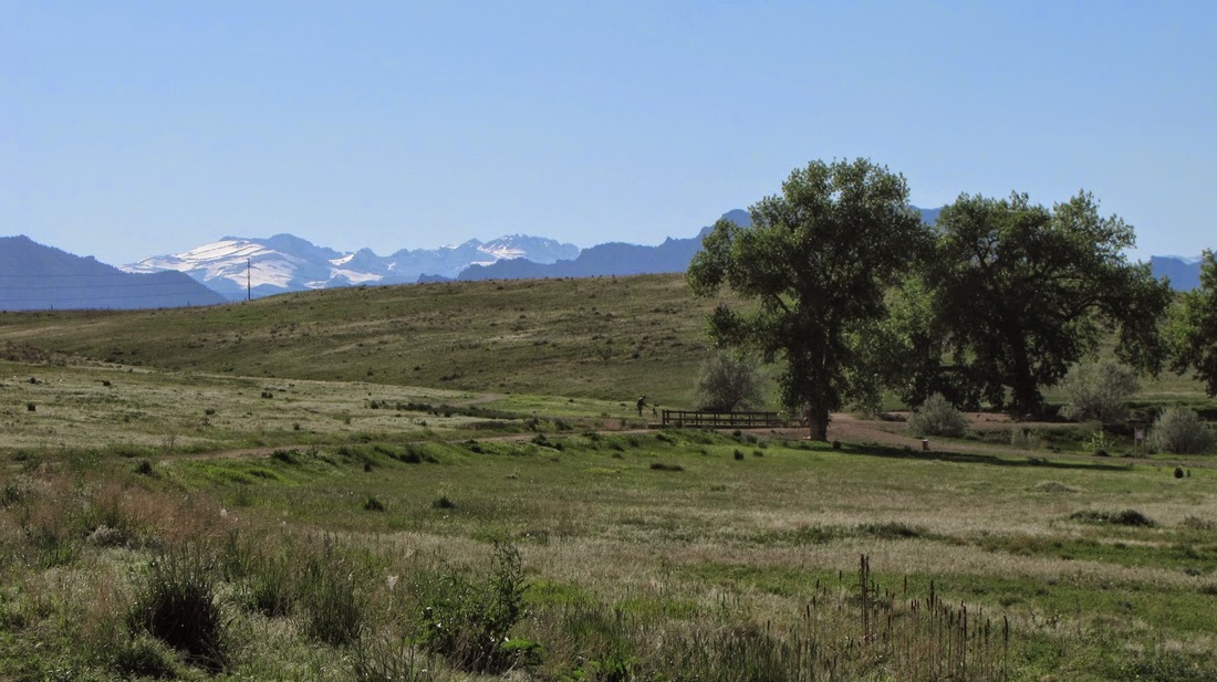
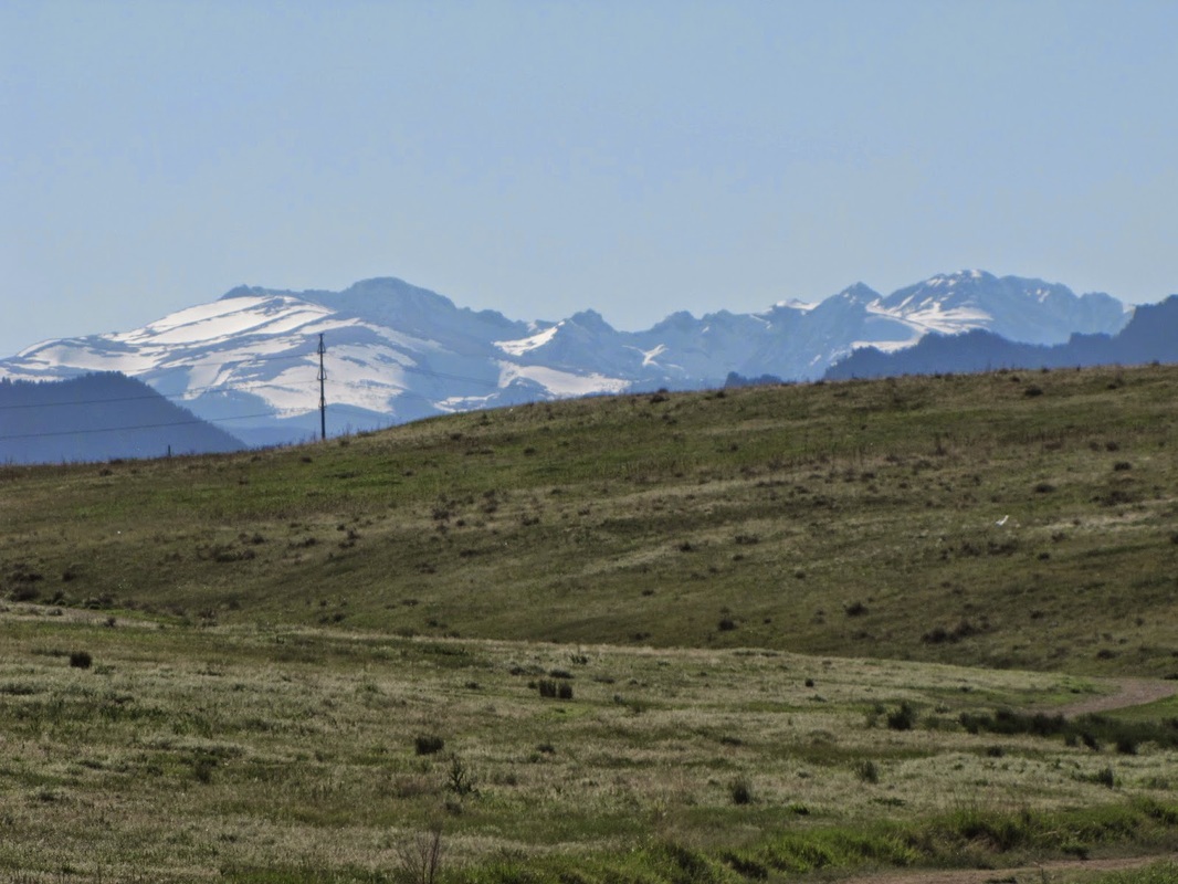
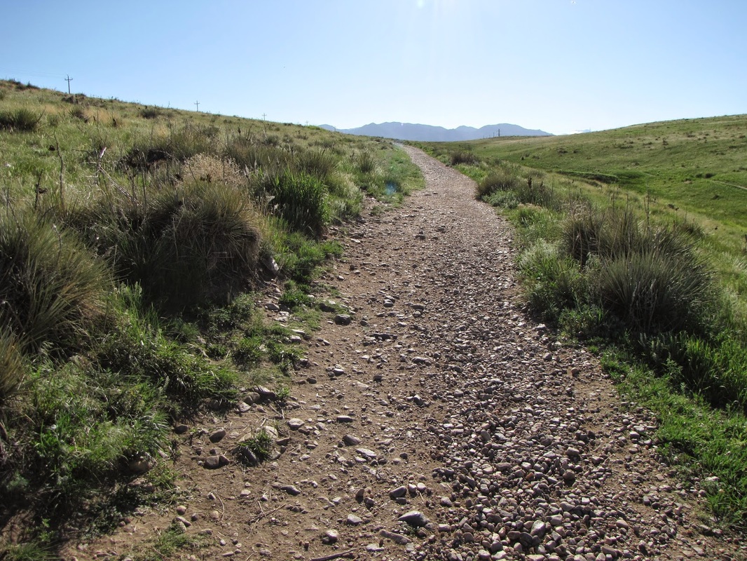
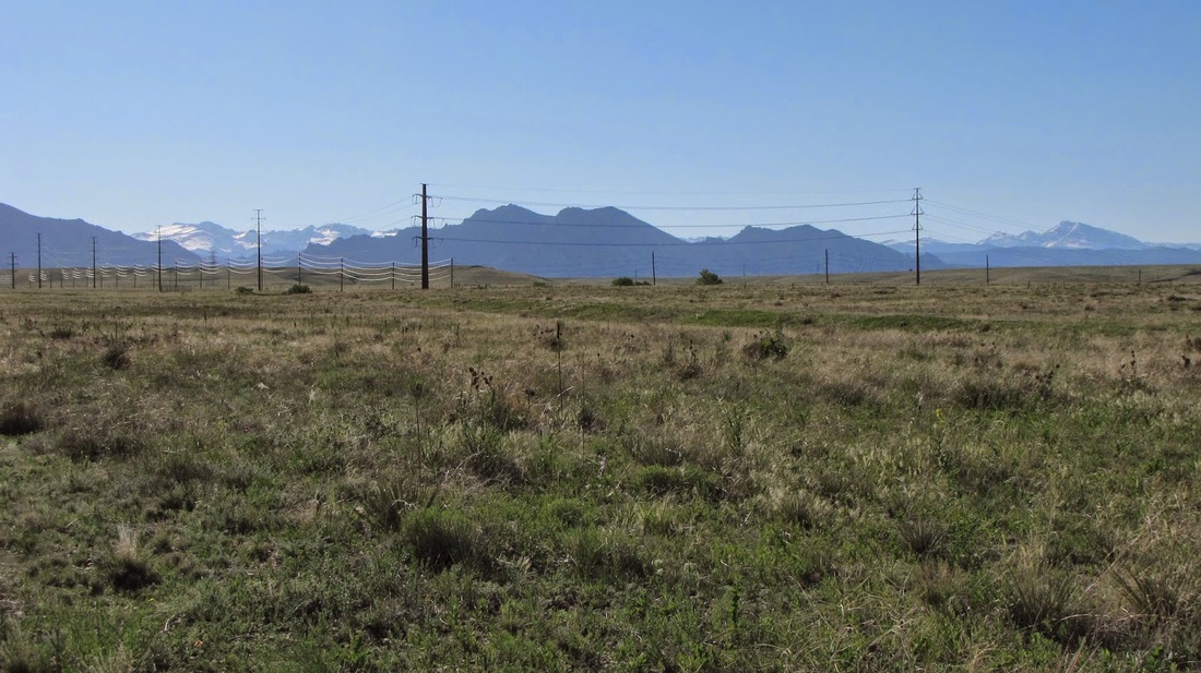
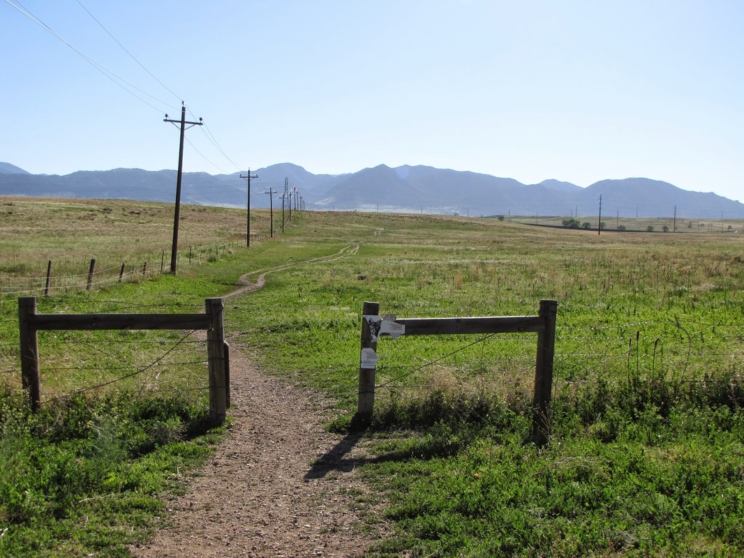
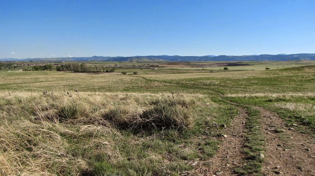
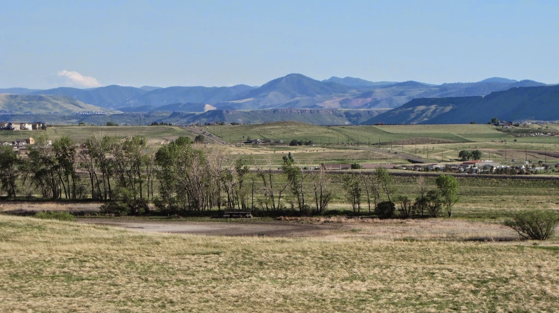
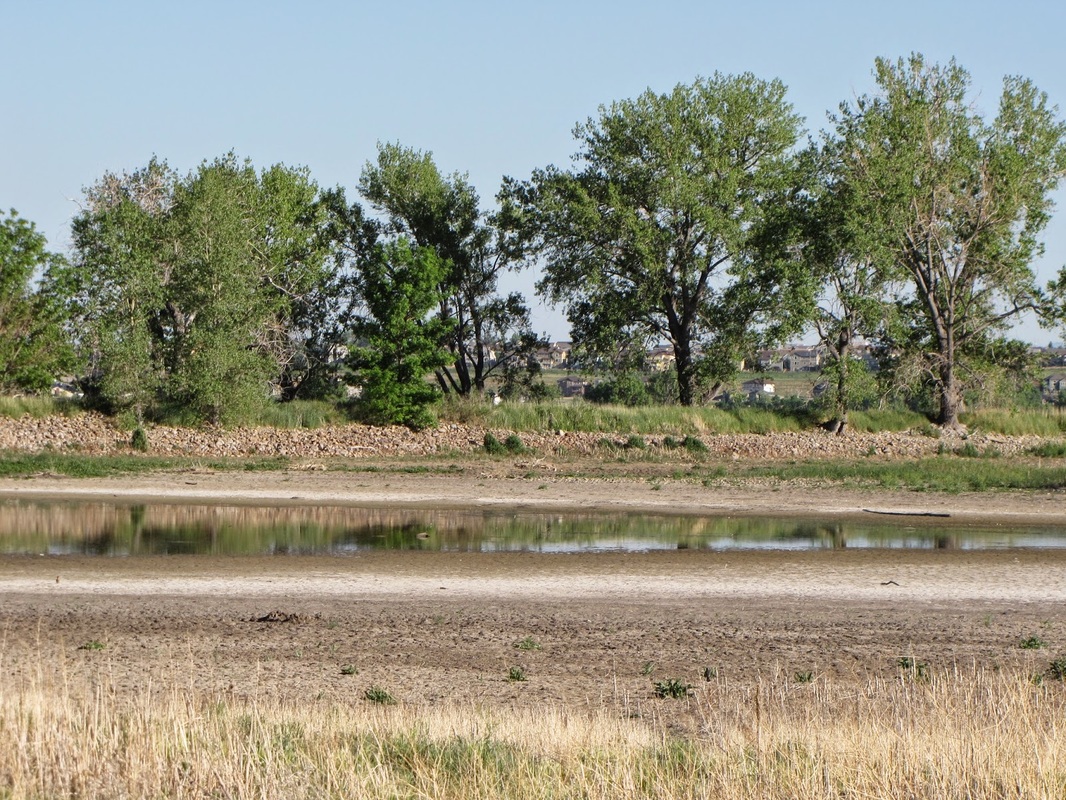
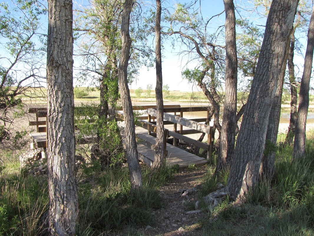
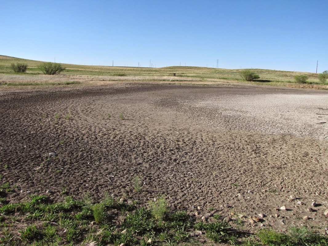
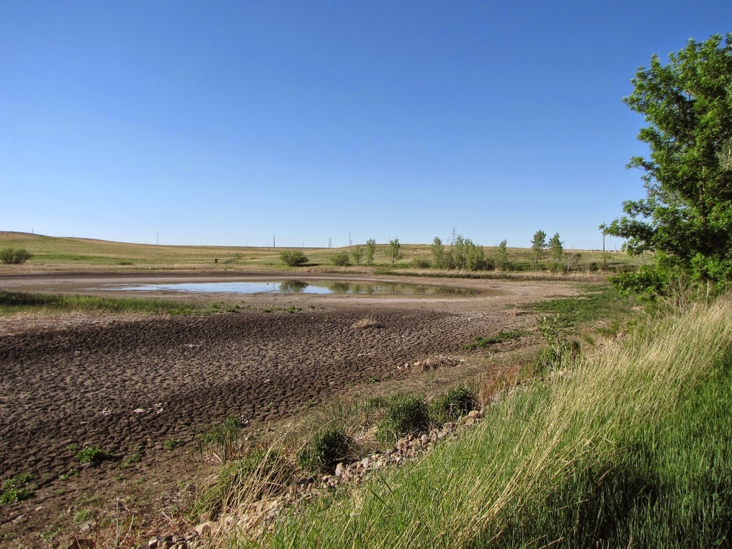
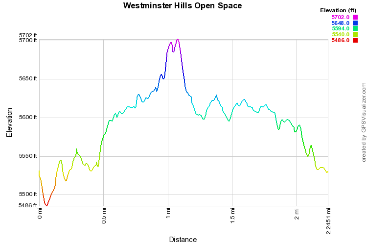
Westiminster Hills Open Space is a mixed bag of an open space park.  I’ve hiked here a few times and have both loved it and loathed it.  In uncomfortable weather, the park is a harsh brutal place.  In OK weather, the hike can feel monotonous and boring.  In springtime it can be a wildflower wonderland.  That being said, there are beautiful views of the Front Range Peaks, including Longs Peak.

The first portion of the park (1 mi from the trailhead) is mainly a dog park.  If you don’t like off leash dogs, don’t come here.  I happen to love dogs and I get a real kick out of seeing them running across the prairie.  However, with the dogs come lots of people and the hike does not feel like much of a hike for the first mile.  After the loop however, the trail stretches out, the dogs and people go away, and it feels much more remote. By the time you get to Mower Reservoir (almost 2 miles out) you’ll feel like you’re in a prairie wilderness area.  To get to Mower Reservoir, at the end of the loop, stay straight, pass through a gate and continue on the trail alongside a fence.  Pass through another gate, but keep on going, once the trail starts to curve around to the south, you are nearing the reservoir.  The reservoir (which may or may not have water) is surrounded by cottonwoods and has a wildlife viewing platform on the west side.  A short loop encircles the lake and you return via the same trail.


Powered by Create your own unique website with customizable templates.