
|
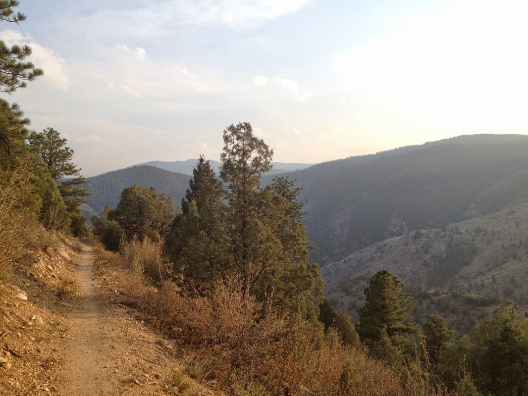
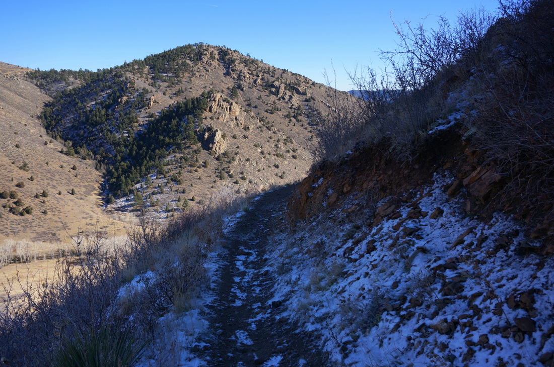
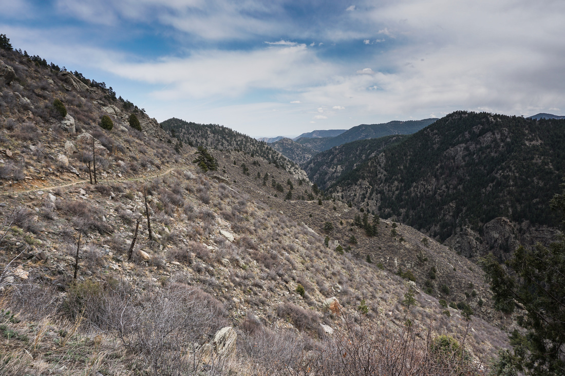
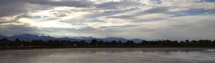
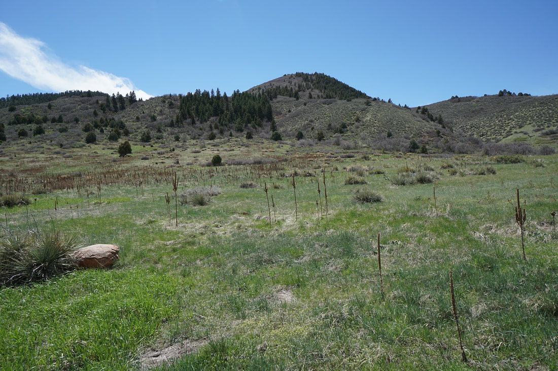
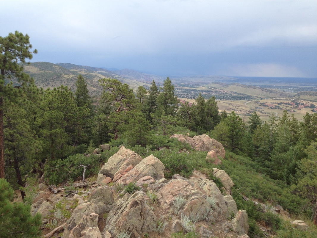
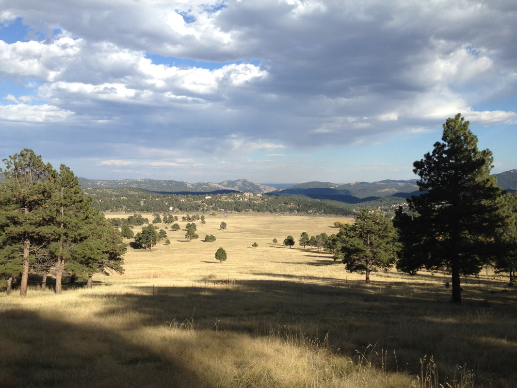
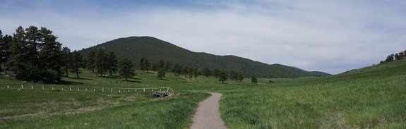
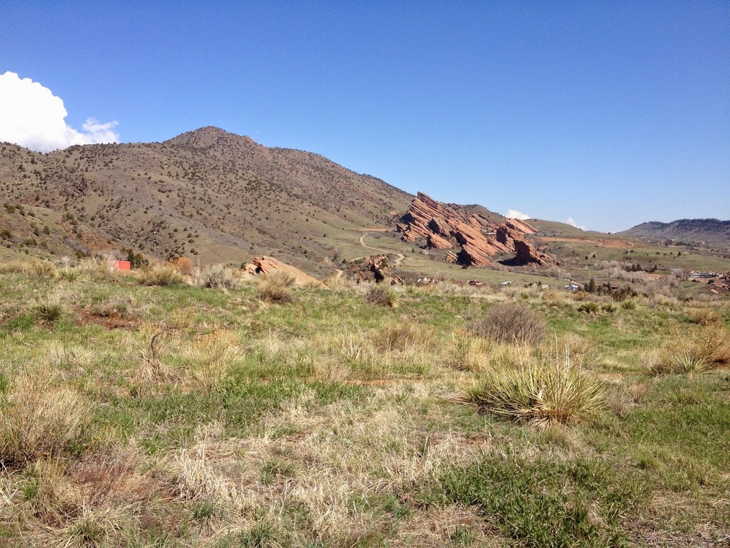
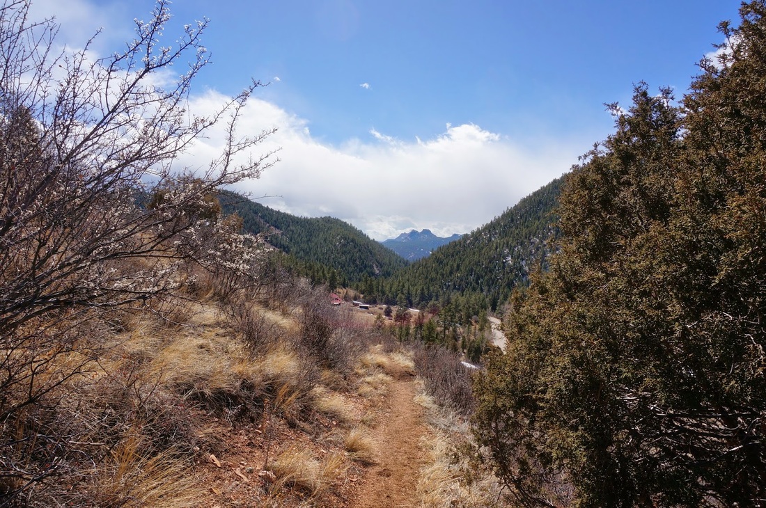
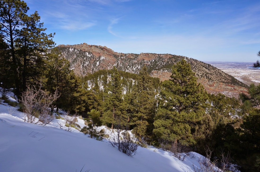
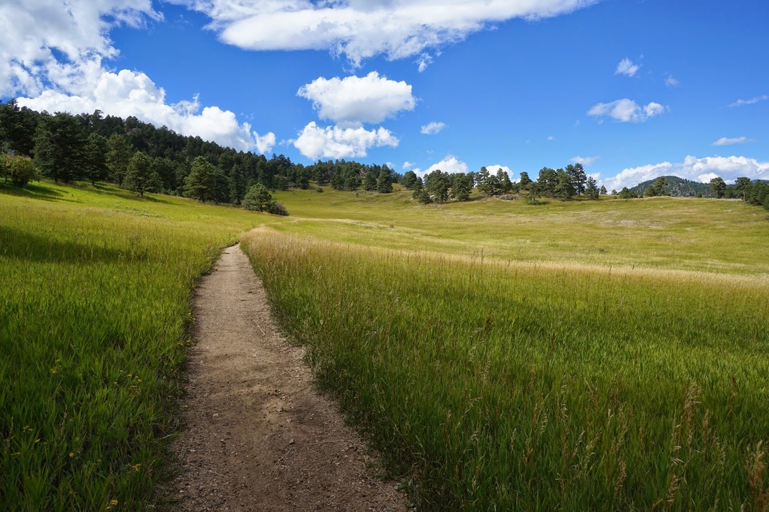
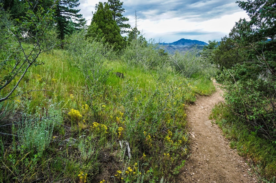
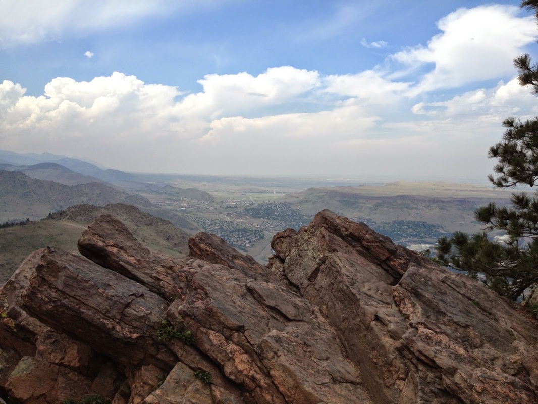
Jefferson County's Open Space Park system is a wonderful resource for Front Range Hikers. The system is very well maintained and has hikes for all skill levels. Some of the Front Range's greatest natural resources are protected by these parks, including the red rock splendor of South Valley Park, the steep towering walls of Clear Creek Canyon, and the Iconic North and South Table Mountains.
To find a great hike in the Jeffco System click on the hike bubbles in the interactive map or browse through the thumbnails below. Either way you'll be linked to a hike description. |
|
Aldefer-Three Sisters Park
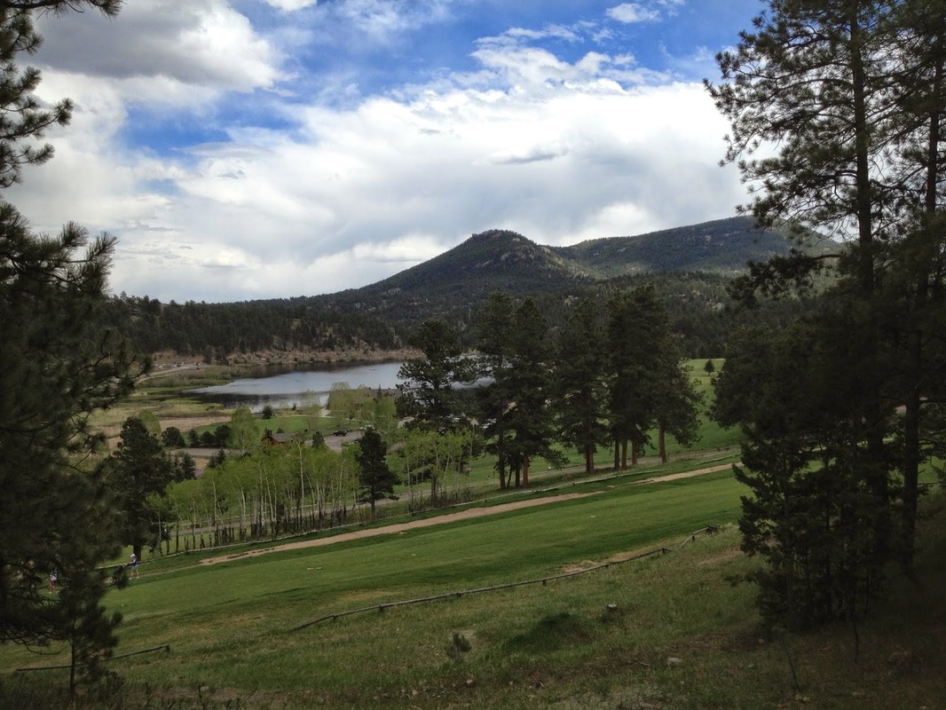
Dedisse Trail to the Sisters
5.9 mi (RT); 700 ft elevation gain |
Evergreen Mountain
6 mi (RT); 1,100 ft elevation gain |
Mountain Muhly Trail
3.5 mi (RT); 570 ft elevation gain |
Sisters Trail
2.3 mi (RT); 329 ft elevation gain |
Sisters>Brother Overlook>Ponderosa Loop
3.4 mi (RT); 400 ft elevation gain |
Apex Park
Argos Loop
1.5 mi (RT); 320 ft elevation gain |
Enchanted Forest
3 mi (RT); 683 ft elevation gain |
Grubstake > Pick 'n Sledge Loop
5.4 mi (RT); 1,800 ft elevation gain |
Centennial Cone Park
Mayhem Gulch Trail
5 mi (RT); 800 ft elevation gain |
Travois > Evening Sun Loop
2.6 mi (RT); 400 ft elevation gain |
Travois Trail (South Leg)
6 mi (RT); 1,095 ft elevation gain |
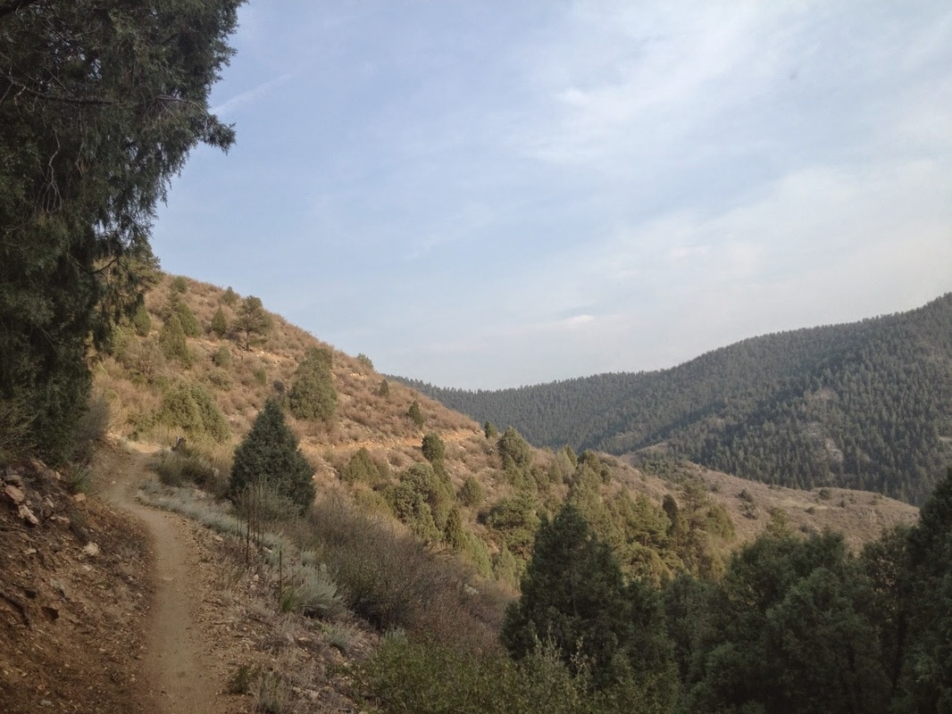
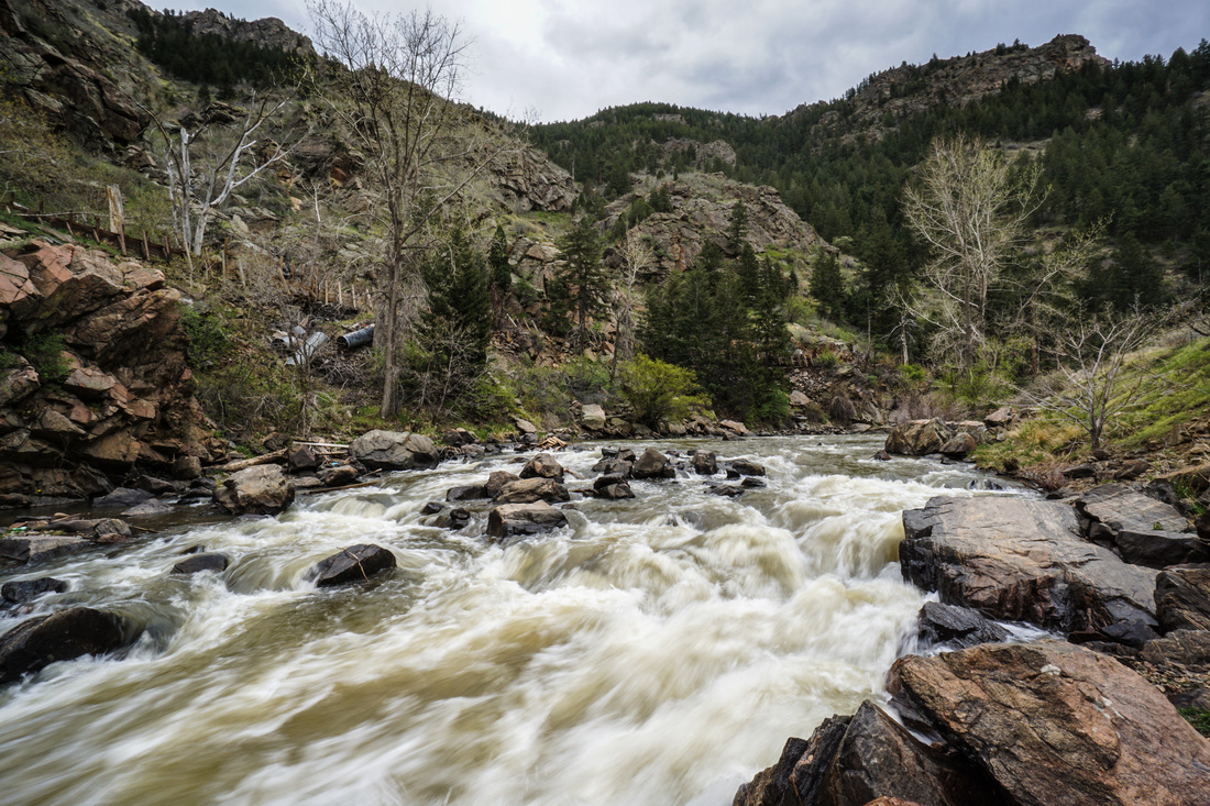
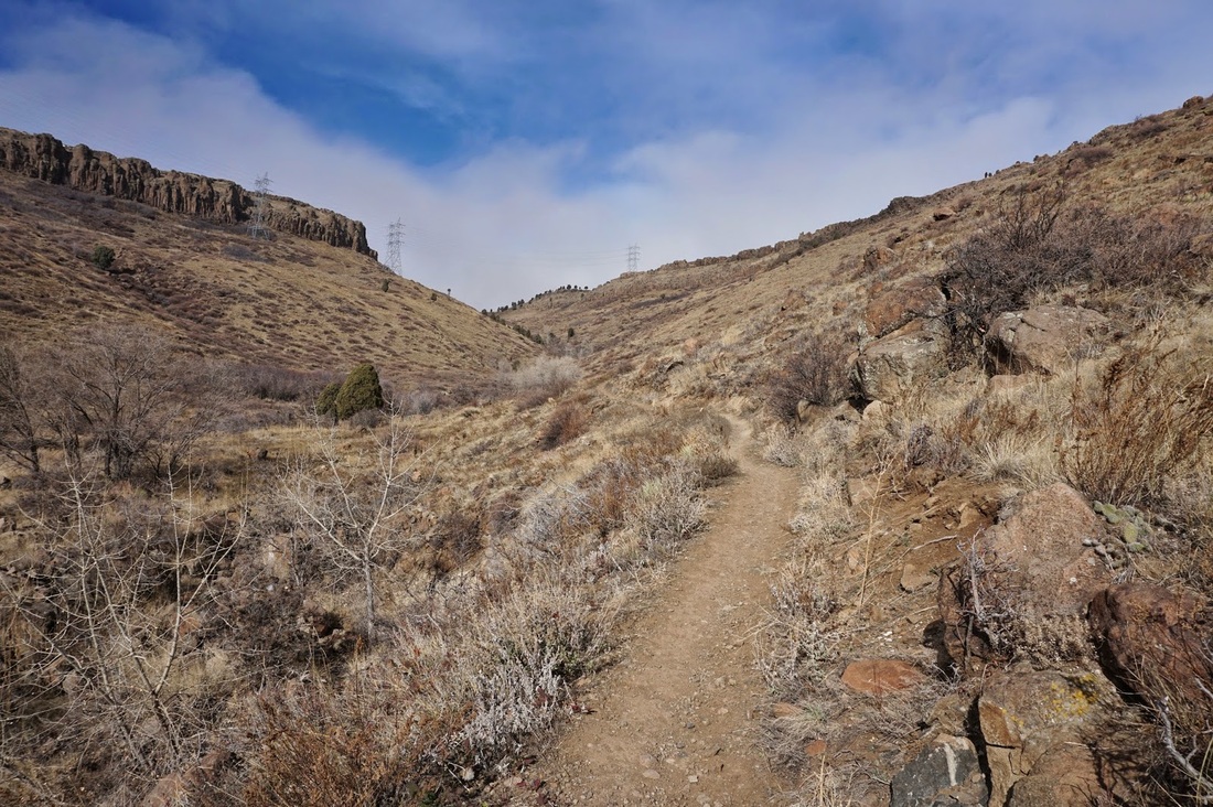
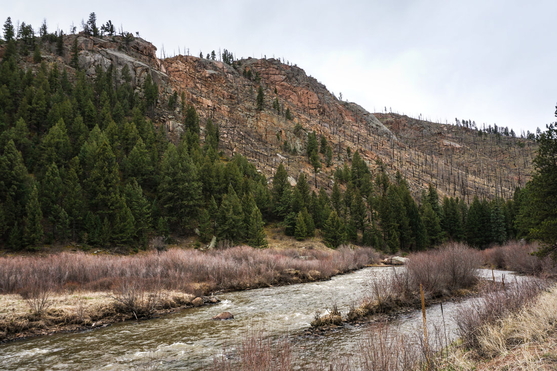
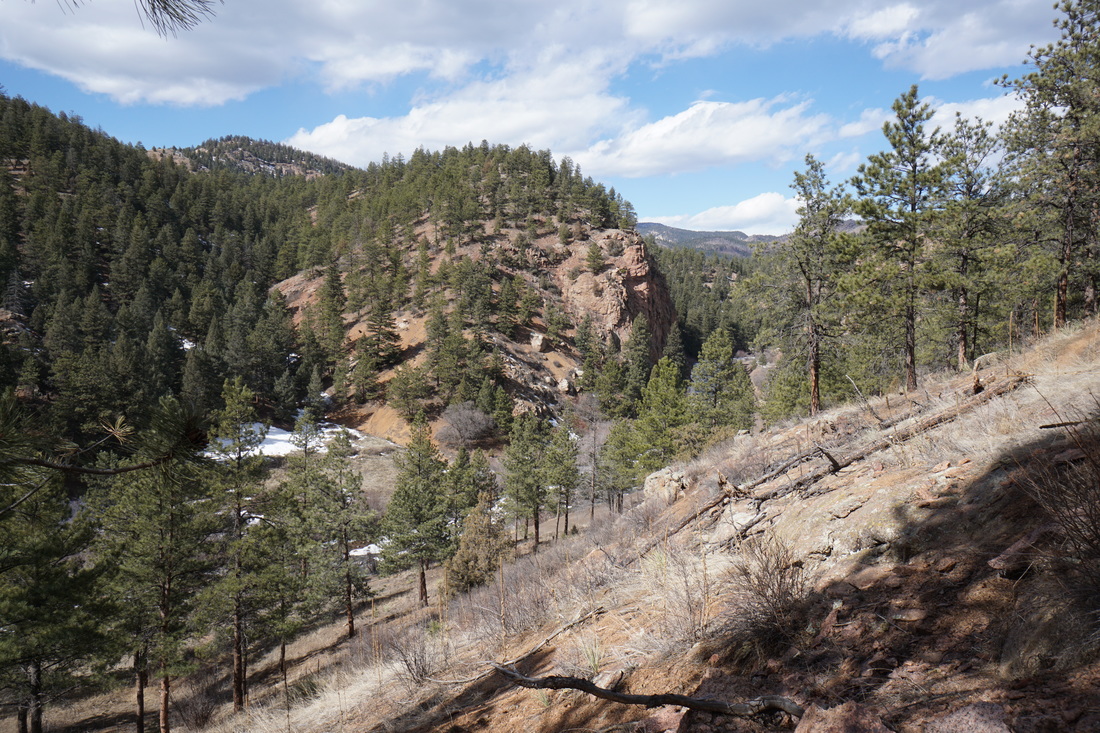
Clear Creek Canyon Park
Huntsman Gulch
2 mi (RT); 993 ft elevation gain |
Mayhem Gulch Trail
5 mi (RT); 800 ft elevation gain |
Peaks to Plains Trail
Mayhem Gulch to Big Easy 2 mi (RT); 160 ft elevation gain |
Tunnel #1 Trail
.8 mi (RT); 212 ft elevation gain |
Welch Ditch Trail
2 mi (RT); 246 ft elevation gain |
Crown Hill Park
2.7 mi (RT); minimal elevation gain
Deer Creek Canyon Park
Meadowlark > Plymouth Creek Loop
2.7 mi (RT); 830 ft elevation gain |
Plymouth Mountain
7.4 mi (RT); 2,000 ft elevation gain |
Red Mesa Loop & Golden Eagle Trail
9.3 mi (RT); 2,023 ft elevation gain |
Elk Meadow Park
Meadowview > Founders > Painters Pause > Sleepy "S" Loop
5.1 mi (RT); 1,500 ft elevation gain |
Noble Meadow Loop
1.4 mi (RT); 200 ft elevation gain |
Flying J Ranch Park
Shadow Pine Loop
4 mi (RT); 1,200 ft elevation gain
4 mi (RT); 1,200 ft elevation gain
Hildebrand Ranch Park
Black Bear Trail to Top of Hogback
5.5. mi (RT); 825 ft elevation gain |
Two Brands Trail
5.3 mi (RT); 500 ft elevation gain |
Lair o' the Bear Park
Bruin Bluff Trail
2.3 mi (RT); 580 ft elevation gain |
Bear Creek Trail to Corwina Park
6.5 mi (RT); 1,100 ft elevation gain |
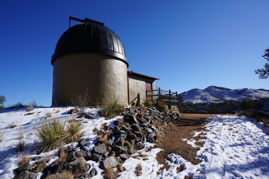
Lookout Mountain Nature Center
Forest & Meadow Loop
1.5 mi (RT); 150 ft elevation gain
1.5 mi (RT); 150 ft elevation gain
Matthews-Winters Park
Dakota Ridge Hogback
2.8 mi (RT); 677 ft elevation gain |
The Grand Loop
6.8 mi (RT); 1,300 ft elevation gain |
Mount Morrison (South Ridge Approach)
3.5 mi (RT); 2,113 ft elevation gain |
Red Rocks > Morrison Slide Loop
4.5 mi (RT); 800 ft elevation gain |
Zorro Trail to Dakota Ridge Summit
2.4 mi (RT); 580 ft elevation gain |
Meyer Ranch Park
Legault Mountain
5.1 mi (RT; 1,238 ft elevation gain |
Old Ski Run Trail
4.4 mi (RT); 916 ft elevation gain |
Sunny Aspen Trail
2.4 mi (RT); 466 ft elevation gain |
Mount Falcon Park
Castle > Walker's Dream > Turkey Trot Trails
6.5 mi (RT); 1,600 ft elevation gain |
Castle > Turkey Trot Loop
3.1 mi (RT); 850 ft elevation gain |

Parmalee Gulch & Devil's Elbow Trails
5 mi (RT); 1,047 ft elevation gain |
Tower Trail
1.5 mi (RT); 250 ft elevation gain |
The Trifecta (Two Dogs > Devil's Elbow > Tower Trail Combo)
6 mi (RT); 1,000 ft elevation gain |
Walker's Dream Trail from Castle West
3.4 mi (RT); 586 ft elevation gain |
Mount Galbraith Park
Cedar Gulch & Summit Loop
4.3 mi (RT); 900 ft elevation gain |
Nightbird Gulch & Summit Loop
4.9 mi (RT); 1,296 ft elevation gain |
Mount Glennon Park
Mount Glennon Climbing Access Trails and Scrambling
.6 mi (RT); 570 ft elevation gain
.6 mi (RT); 570 ft elevation gain
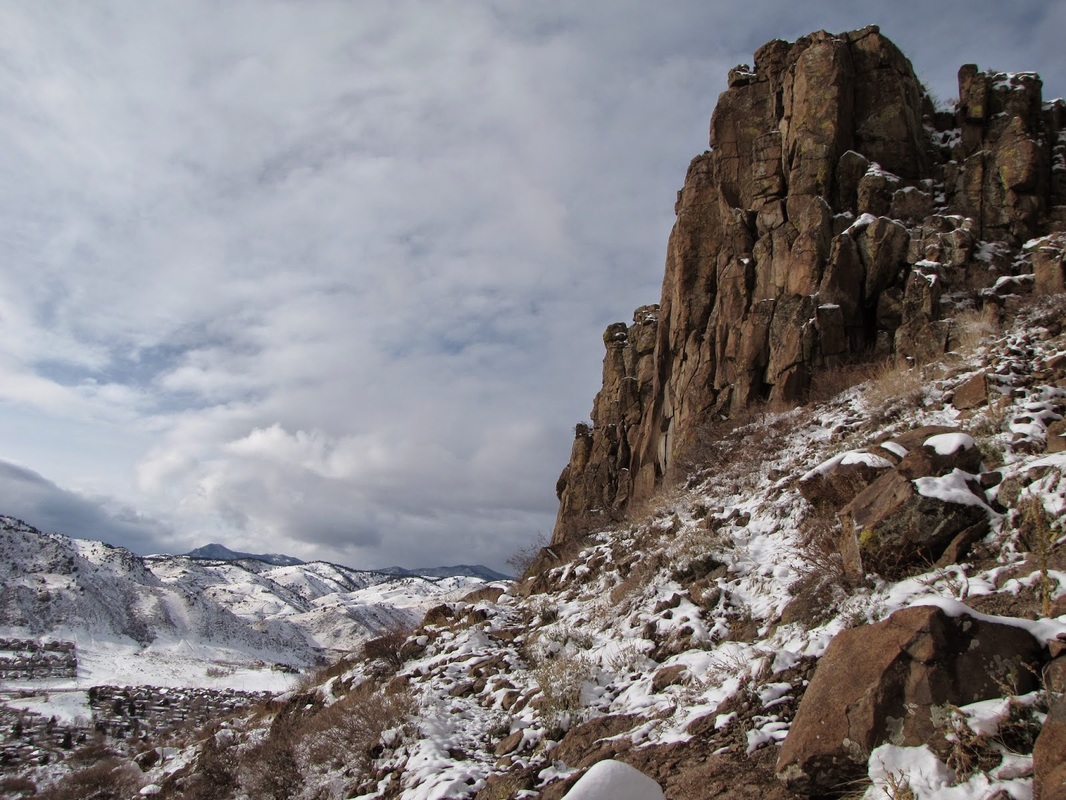
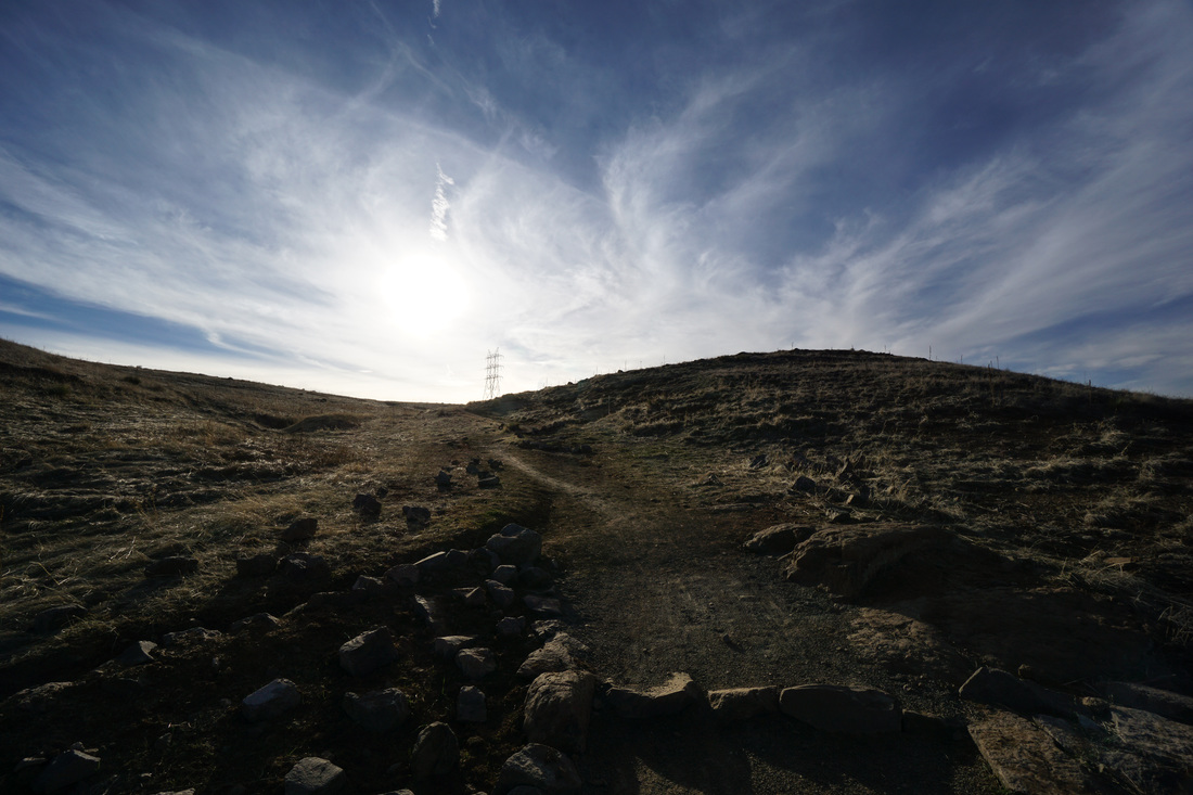
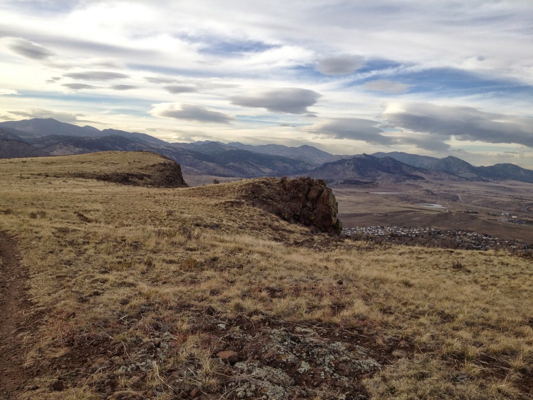
North Table Mountain Park
Cottonwood Canyon
3.7 mi (RT); 950 ft elevation gain |
Golden Cliffs Preserve
2 mi (RT); 500 ft elevation gain |
Lichen Peak
1.7 mi (RT); 571 ft elevation gain |
North Table > Mesa Top > Cottonwood Canyon Loop
3.6 mi (RT); 780 ft elevation gain |
North Table > Mesa Top > Rock Rim > Tilted Mesa Loop
6.1 mi (RT); 1,000 ft elevation gain |
Rim Rock Loop
4.7 mi (RT); 950 ft elevation gain |
Pine Valley Ranch Park
Narrow Gauge & North Fork Trails
3.1 mi (RT); 463 ft elevation gain |
Park View Loop
2.7 mi (RT); 600 ft elevation gain |
Star View Trail
1 mi (RT); 250 ft elevation gain |
Reynolds Park
Hummingbird > Chickadee > Songbird Loop
3.6 mi (RT); 800 ft elevation gain |
North Fork Trail
3.5 mi (RT); 500 ft elevation gain |
Oxen Draw > Eagle's View > Raven's Roost Loop
4.3 mi (RT); 1,300 ft elevation gain |
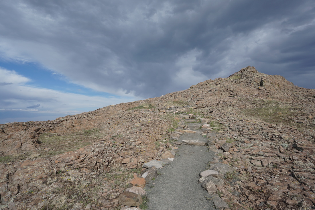
South Table Mountain Park
Ancient Palms to Basalt Cap Loop
5.3 mi (RT); 400 ft elevation gain |
Cretaceaous > Tertiary Loop
2 mi (RT); 511 ft elevation gain |
Golden Hills Road Trailhead
1.3 mi (RT); 300 ft elevation gain |
Lubahn Trail to Castle Rock
1.8 mi (RT); 800 ft elevation gain |
Western Loop to Castle Rock
4.3 mi (RT); 560 ft elevation gain |
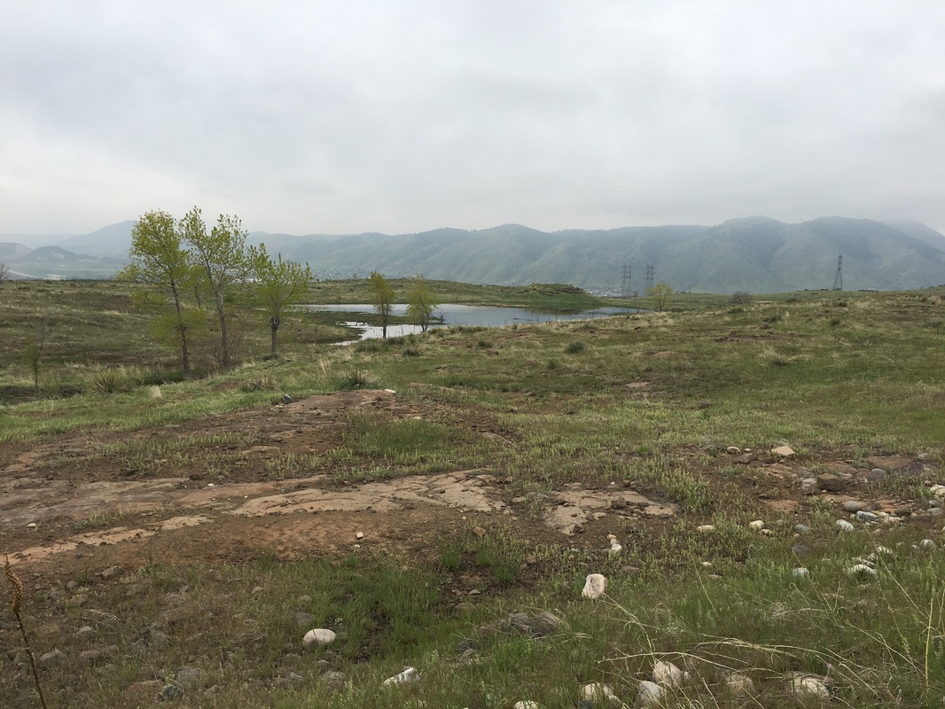
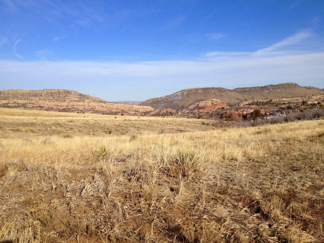
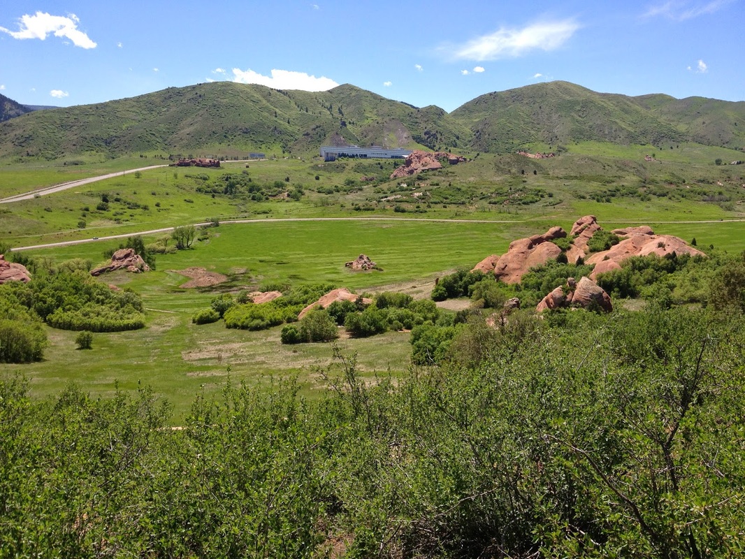
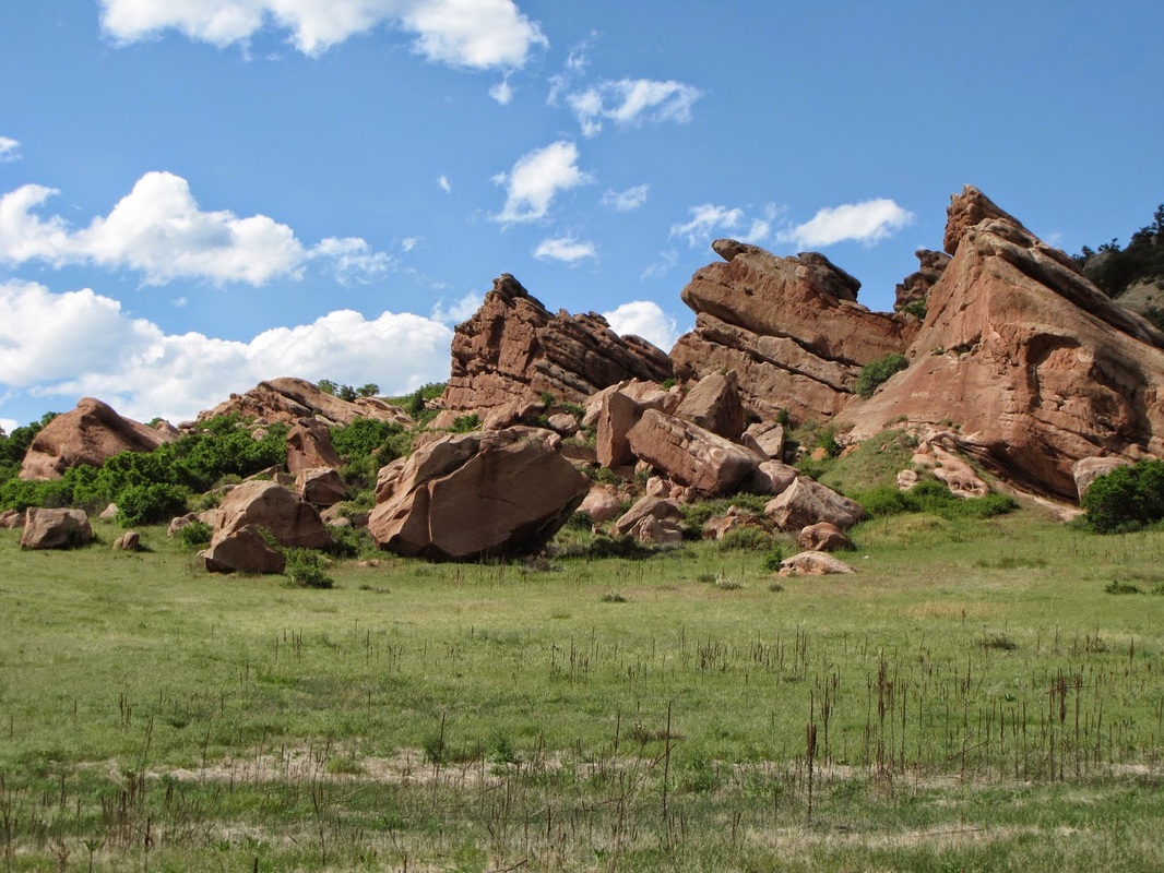
South Valley Park
Grazzing Elk Loop & Valley View Trail
5.6 mi (RT); 300 ft elevation gain |
Cathy Johnson Trail
3 mi (RT); 500 ft elevation gain |
Swallow > Coyote Song Loop
2.1 mi (RT); 1,000 ft elevation gain |
Van Bibber Park
2.8 mi (RT); 200 ft elevation gain
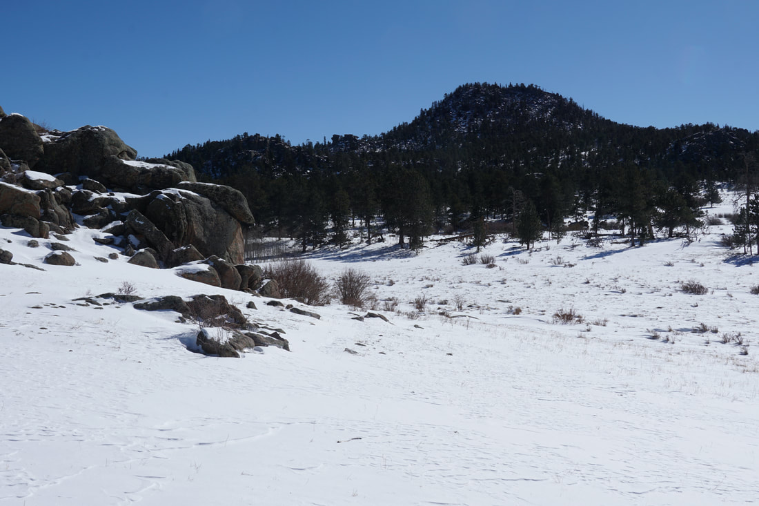
White Ranch Park
Belcher Hill Trail (Winter)
2.3 mi (RT); 470 ft elevation gain |
Mustang > Belcher Hill Loop
4.5 mi (RT); 1,019 ft elevation gain |
Longhorn > Maverick > Belcher Hill Loop
7.8 mi (RT); 1,300 ft elevation gain |
Rawhide Loop
5.2 mi (RT); 1,000 ft elevation gain |
Rawhide > Longhorn > Maverick > Sawmill Loop
2.3 mi (RT); 434 ft elevation gain |
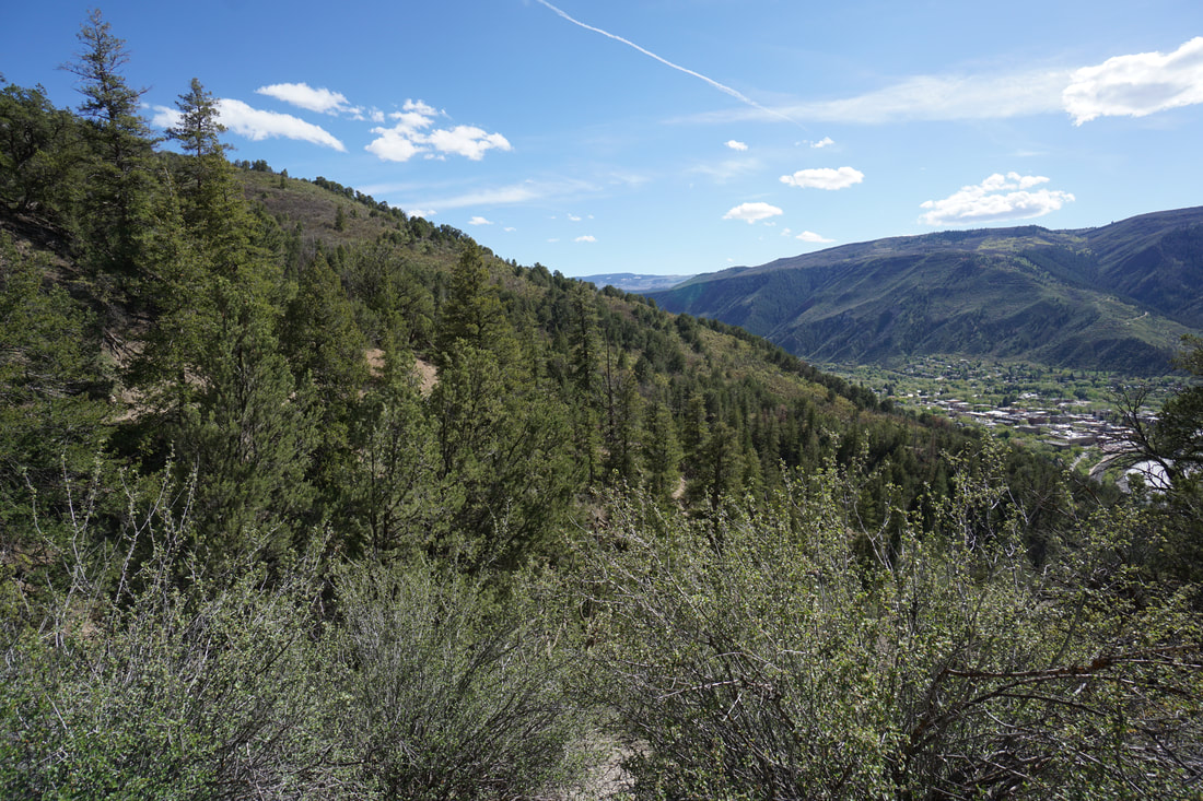
Windy Saddle Park
Beaver Brook Trail East
3 mi (RT); 547 ft elevation gain |
Buffalo Bill Trail to Lookout Mt.
4 mi (RT); 320 ft elevation gain |
Chimney Gulch Trail
4.6 mi (RT); 1,143 ft elevation gain |
Lookout Mountain Trail
2.3 mi (RT); 675 ft elevation gain |
