GO HIKE COLORADO
Get in Touch:
  • HOME
  • ABOUT
  • HIKES BY REGION
    • DENVER AREA >
      • Denver Mountain Parks
      • Jefferson County Open Space
      • Lakewood Parks
      • Denver Area Greenways
    • BOULDER AREA
    • DOUGLAS COUNTY
    • FORT COLLINS AREA
    • COLORADO SPRINGS AREA
    • FRONT RANGE
    • TENMILE & MOSQUITO RANGES
    • GORE RANGE
    • SANGRE DE CRISTO MOUNTAINS
    • PARK RANGE
    • SAWATCH RANGE
    • ELK MOUNTAINS
    • SAN JUAN MOUNTAINS
    • THE FLAT TOPS
    • GRAND MESA
    • COLORADO PLATEAU
    • EASTERN PLAINS
  • NATIONAL PARK HIKES
    • BENT'S OLD FORT NATIONAL HISTORIC SITE
    • BLACK CANYON OF THE GUNNISON NATIONAL PARK
    • COLORADO NATIONAL MONUMENT
    • CURECANTI NATIONAL RECREATION AREA
    • DINOSAUR NATIONAL MONUMENT
    • FLORISSANT FOSSIL BEDS NATIONAL MONUMENT
    • MESA VERDE NATIONAL PARK
    • ROCKY MOUNTAIN NATIONAL PARK
    • GREAT SAND DUNES NATIONAL PARK
    • HOVENWEEP NATIONAL MONUMENT
    • SAND CREEK MASSACRE NATIONAL HISTORIC SITE
    • YUCCA HOUSE NATIONAL MONUMENT
  • HIKES BY CATEGORY
    • HIKES TO ALPINE LAKES
    • HIKES TO PEAKS & PASSES
    • HIKES THROUGH CANYONS
    • HIKES WITH FALL COLORS
    • HIKES ALONG THE I-70 CORRIDOR
    • HIKES ON PAVED TRAILS
    • HIKES FOR KIDS
    • HIKES TO WATERFALLS
    • HIKES ALONG RIVERS
    • HIKES WITH ROCK FORMATIONS
    • HIKES WITH WILDFLOWERS
    • WINTER HIKES
  • NEWS
  • WEBCAMS
  • $UPPORT GHC
  • INTERACTIVE MAP

Narrow Gauge & N. Fork Trails
Pine Valley Ranch Park

Date Hiked: April 27, 2014
​
Distance: 3.1 mi (RT)
Elevation Gain: 463ft
Elevation Min/Max: 6,759 to 6,953ft
Managing Agency: Jefferson County Open Space
Fee: None

Pine Valley Ranch Park Website
Picture

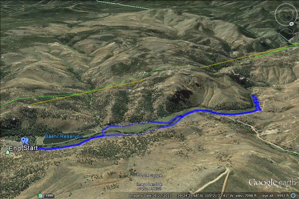
Directions:  From Denver take 285 South to Pine Junction.  Make a left (south) on Pine Valley Road (126) and follow to just before the Pine Historic District.  Make a left on Crystal Lake Road (following the signs to Pine Valley Ranch) and take this to the Park's parking area.  The trailhead is located next to the bathrooms at the west end of the lower parking lot.

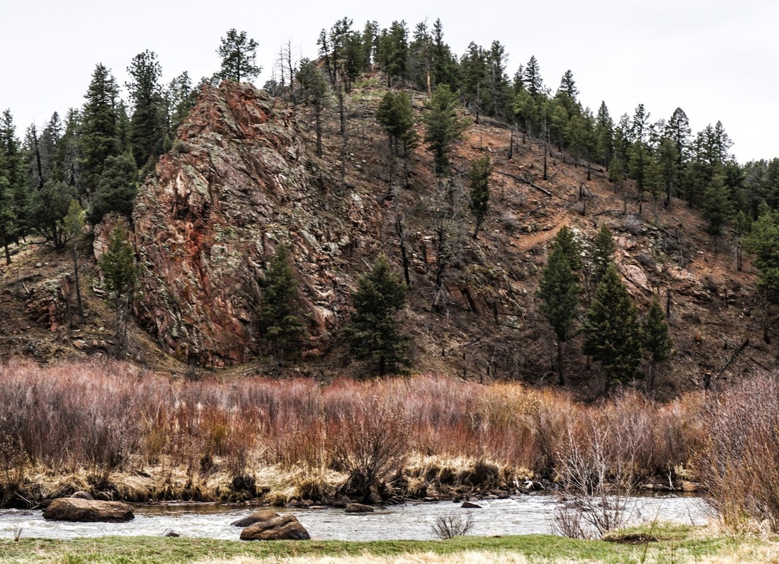
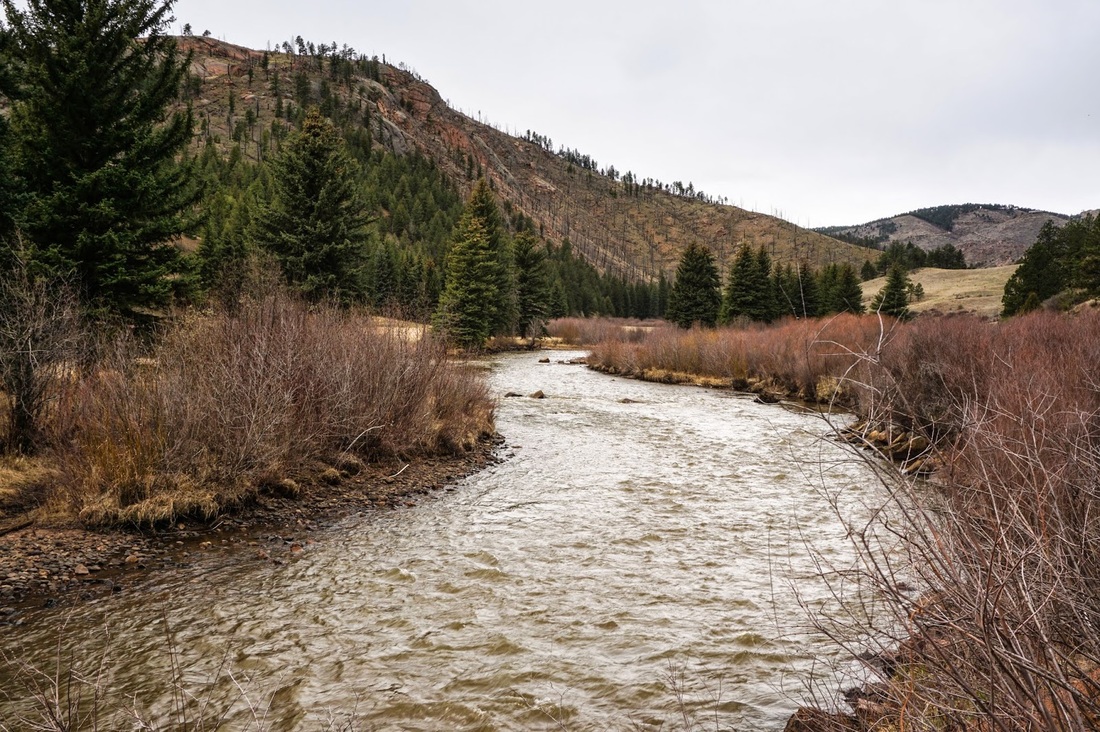
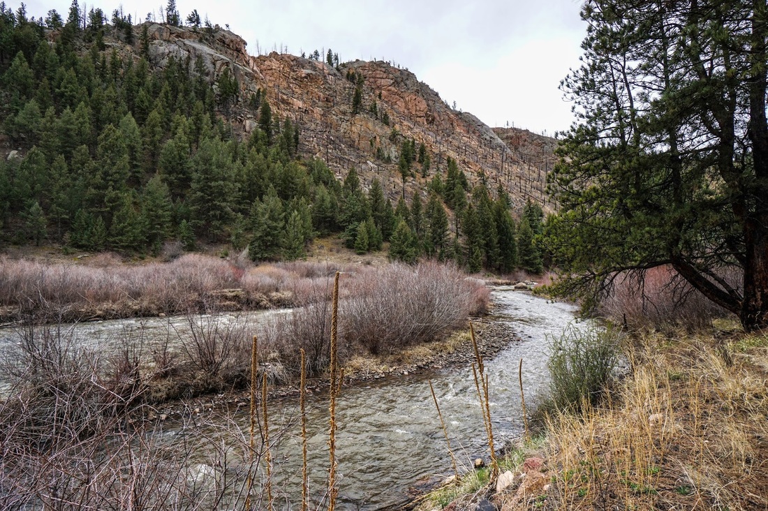
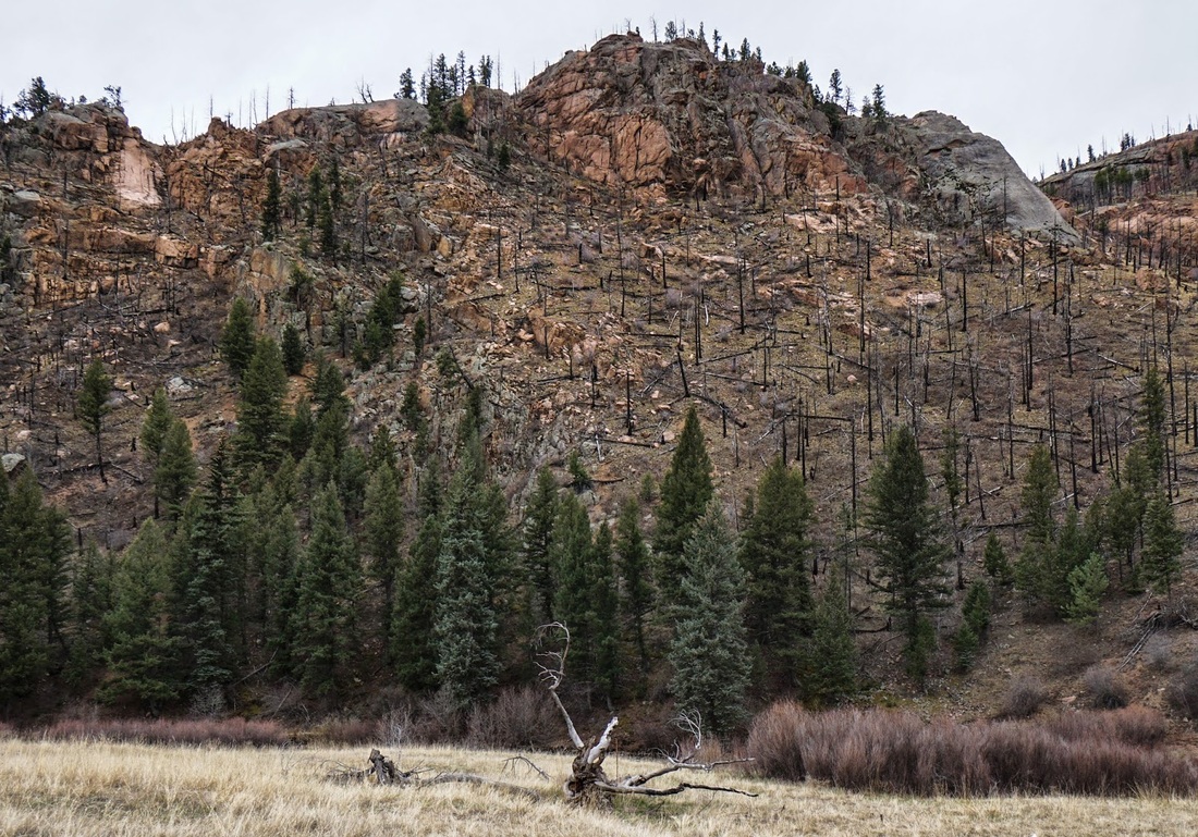
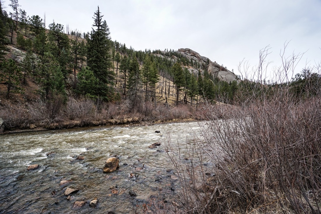
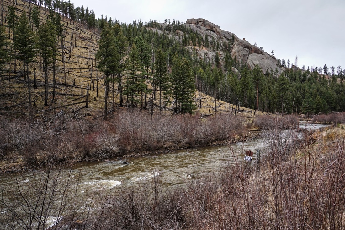
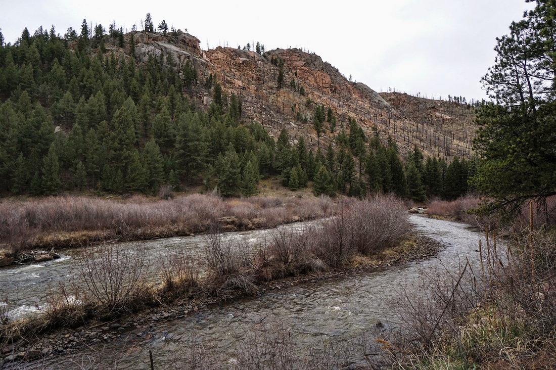
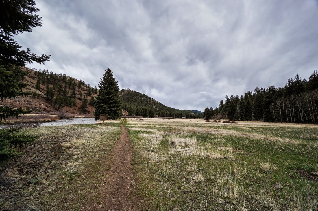
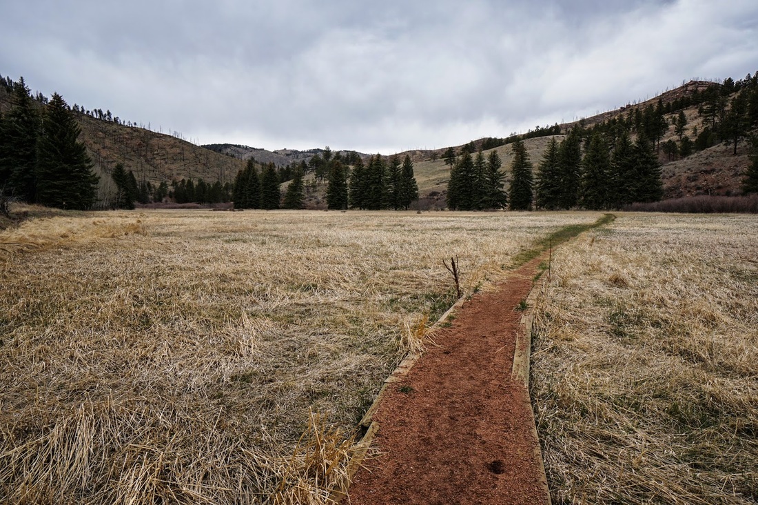
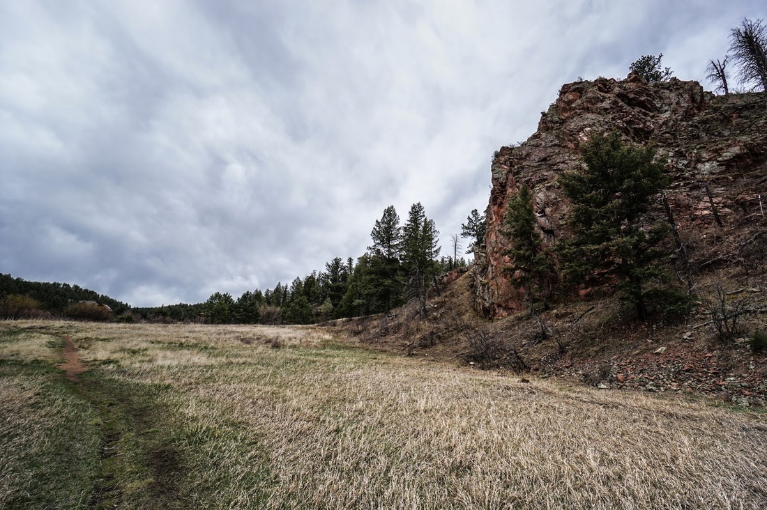
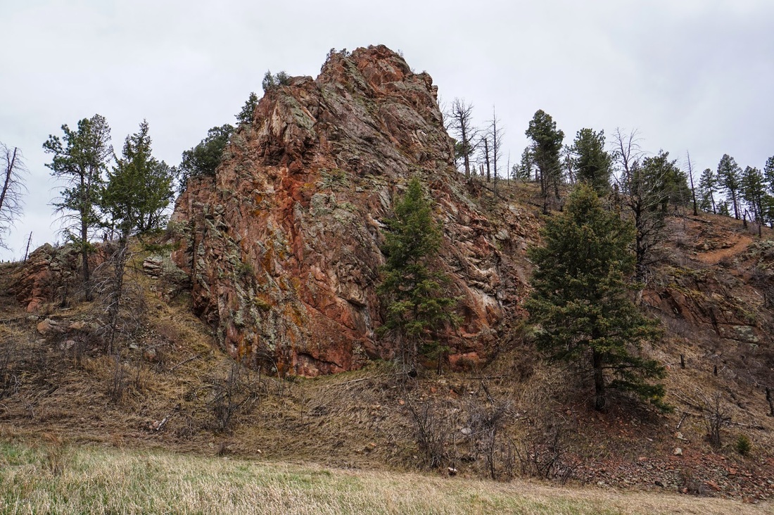
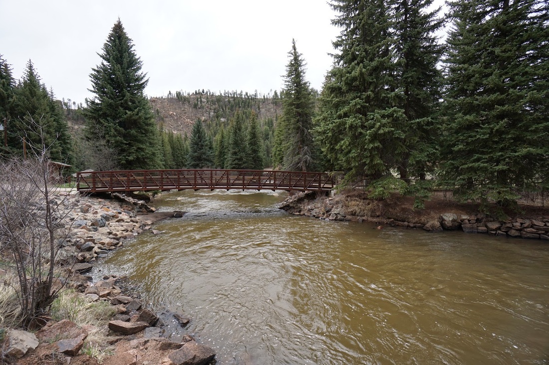
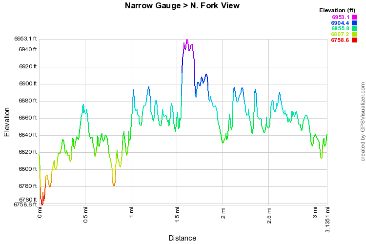
This trail makes for a wonderful flat and easy hike following the North Fork of the South Platte River.  The trail highlight of this trail is the rock formations and cliffs on both sides of the Platte.  This area is part of the Buffalo Creek wildfire burn area and while the vegetation is growing back nicely, the burn area offers a unique landscape.  Burnt trees against red rock cliffs visible due to the lack of foliage on the trees. Tragic, but natural and beautiful in its own right.

The North Fork View trail is an option on this hike and it gets away from the river and closer to the towering cliffs, highly recommended.  After about 1.5 miles, the trail abruptly ends at a gate across the trail, from here you have no choice but to turn back the way you came.  For a longer more strenuous hike, try the Park View, Strawberry Jack, Buck Gulch Loop, its one of my favorite Jeffco Open Space hikes.
© Go Hike Colorado, 2020.  All Rights Reserved. 
Use of photographs without prior authorization is
​strictly prohibited.


Contact us at:
[email protected]
Legal Disclaimer - Information provided on this site is based upon our own observations, always double check information with the appropriate land management agency before heading into the backcountry.  Backcountry travel is inherently dangerous, please take all proper precautions.  Go Hike Colorado is not responsible for injury or incident.