
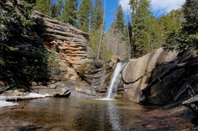
Adams Falls
.6 mi (RT); 100 ft elevation gain |
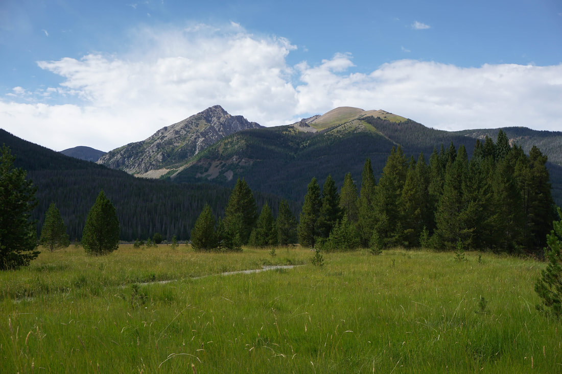
Beaver Meadows
1.3 mi (RT); 300 ft elevation gain |
Bierstadt Lake (Winter)
3 mi (RT); 900 ft elevation gain |
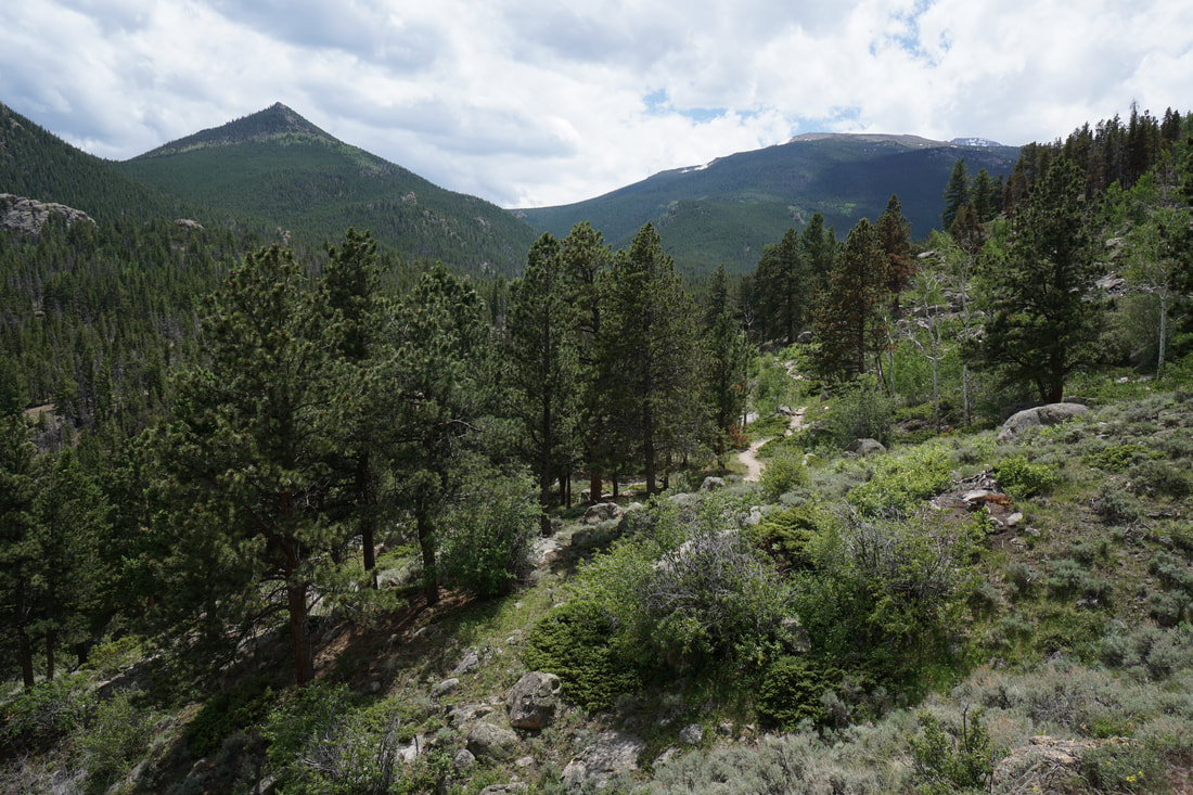
Black Canyon
8.1 mi (RT); 1,657 ft elevation gain |
Black Lake
10 mi (RT); 1,430 ft elevation gain |
Bridal Veil Falls
6.5 mi (RT); 977 ft elevation gain |
Calypso Cascades
5.4 mi (RT); 650 ft elevation gain |
Calypso Cascades
via Finch Lake Trail 4.5 mi (RT); 450 ft elevation gain |
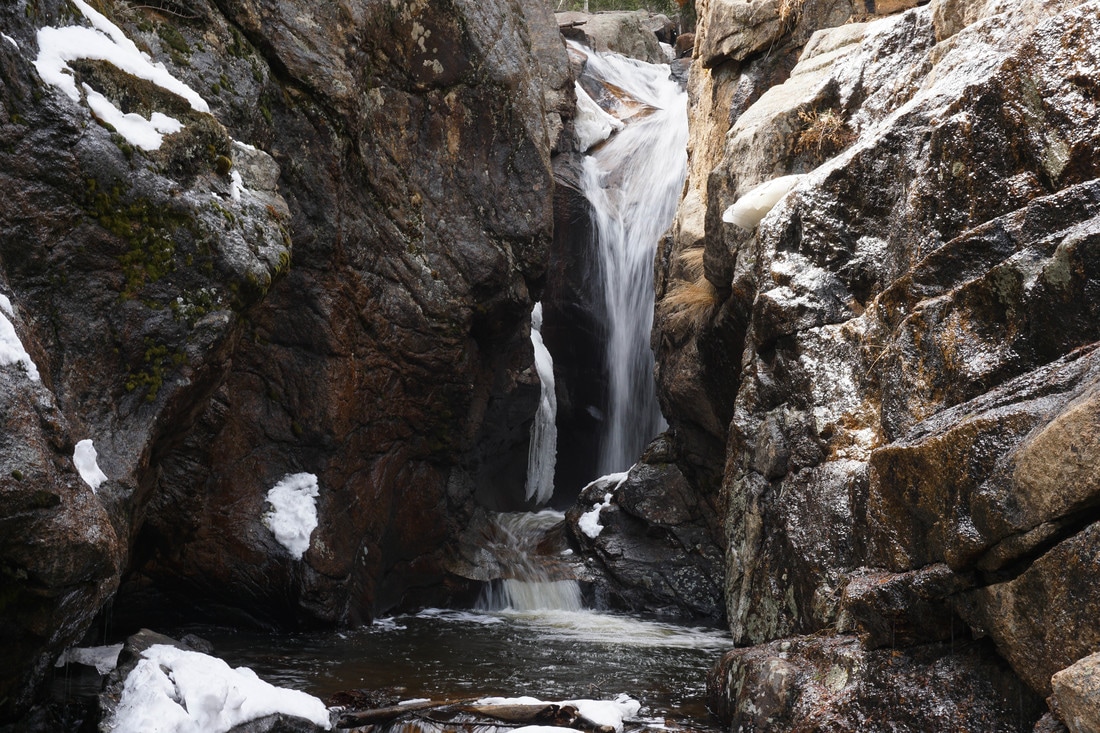
Chasm Falls (off-season)
4.8 mi (RT); 640 ft elevation gain |
Coyote Valley Trail
2 mi (RT); 250 ft elevation gain |
Cub Lake
4.6 mi (RT); 540 ft elevation gain |
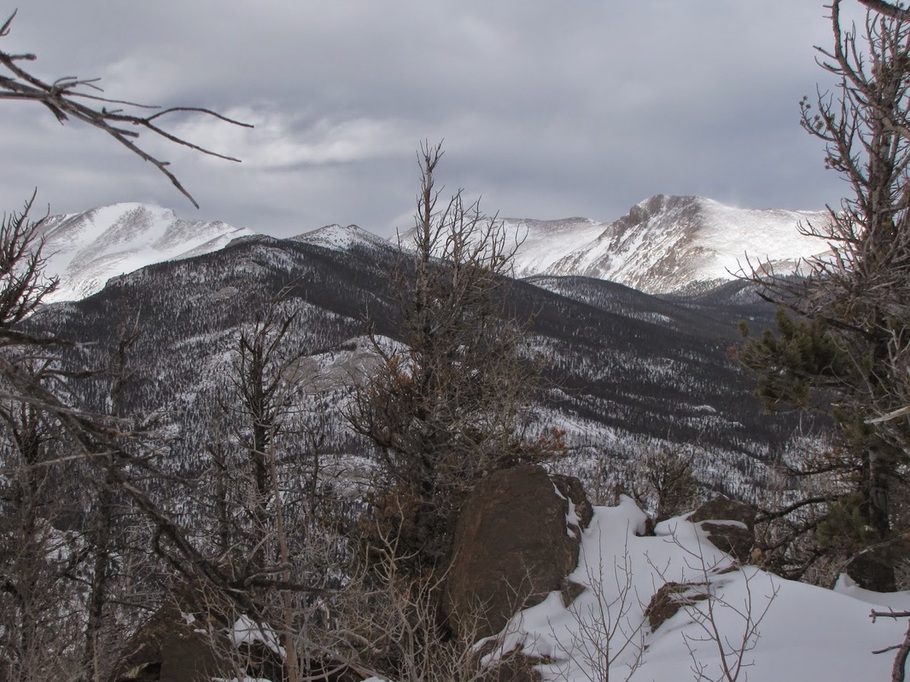
Deer Mountain (Winter)
6 mi (RT); 1,083 ft elevation gain |
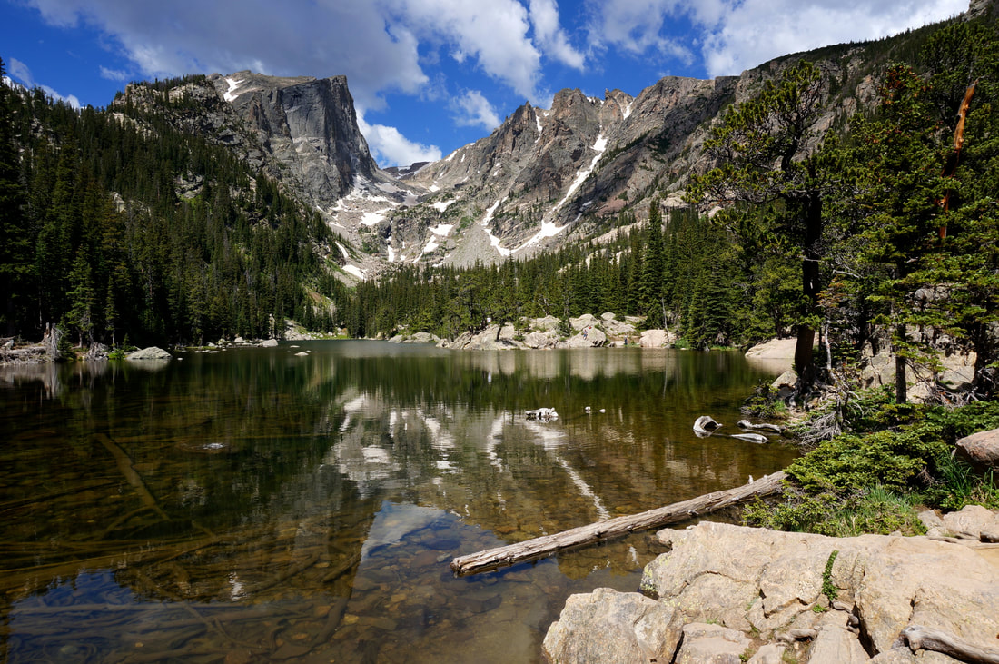
Dream Lake
2.2 mi (RT); 450 ft elevation gain |
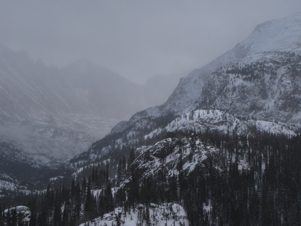
Dream Lake (Winter)
2.2 mi (RT); 450 ft elevation gain |
Emerald Lake
3.6 mi (RT); 605 ft elevation gain |
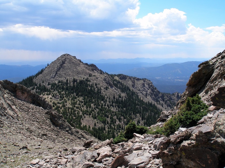
Estes Cone
7.4 mi (RT); 1,600 ft elevation gain |
Fern Lake (Winter)
8.5 mi (RT); 2,000 ft elevation gain |
Gem Lake
3.2 mi (RT); 1,000 ft elevation gain |
Haiyaha Lake
4 mi (RT); 800 ft elevation gain |
Lake Helene
6.8 mi (RT); 1,300 ft elevation gain |
Lilly Lake
2 mi (RT); 200 ft elevation gain |
The Loch
6 mi (RT); 990 ft elevation gain |
Longs Peak 14,255 ft
14.5 mi (RT); 5,100 ft elevation gain |
Mills Lake
5.6 mi (RT); 750 ft elevation gain |
Nymph Lake
1.1 mi (RT); 250 ft elevation gain |
Shadow Mountain Lake
2 mi (RT); minimal elevation gain |
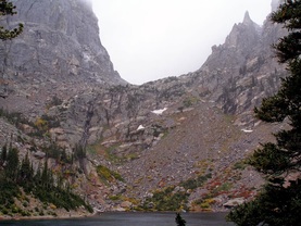
Sky Pond
10 mi (RT); 1,710 ft elevation gain |
Sprague Lake Nature Trail
.8 mi (RT); 165 elevation gain |
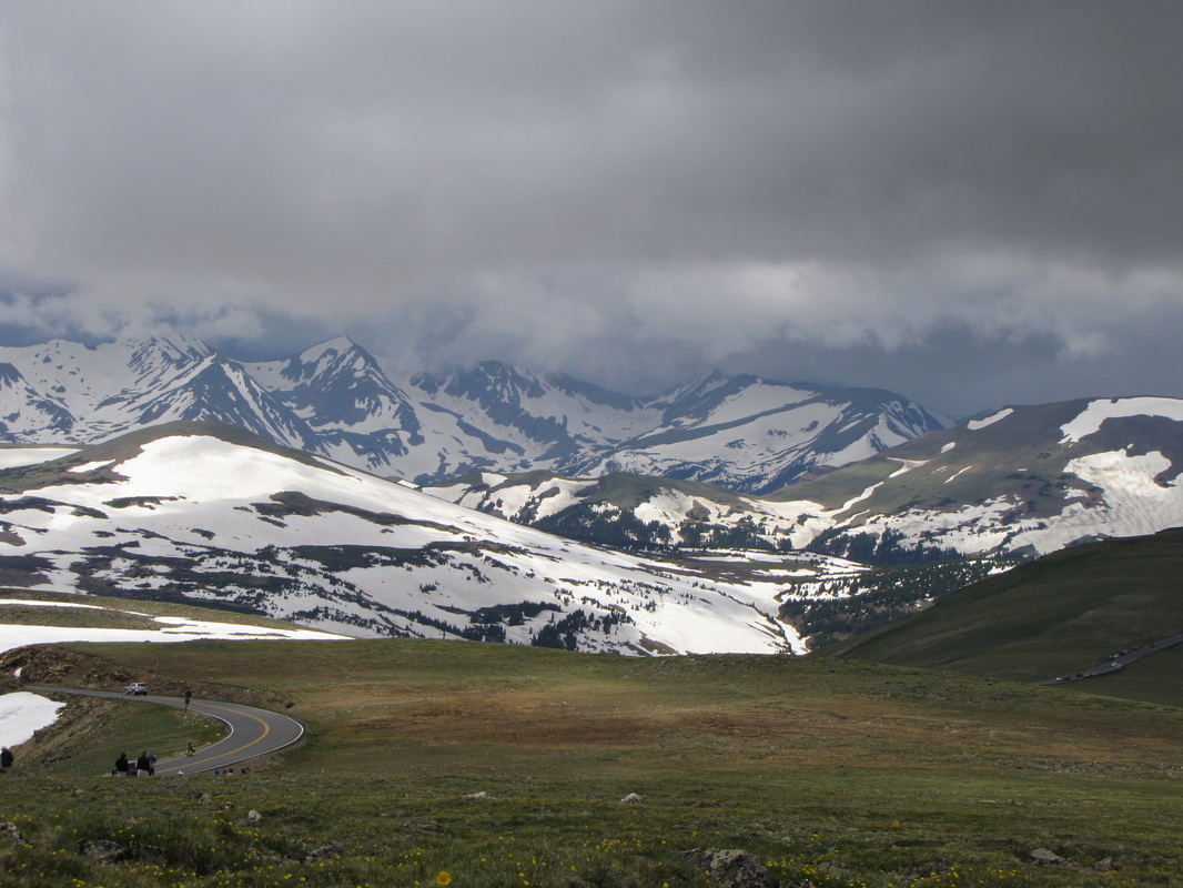
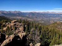
Tundra Communities Trail
1 mi (RT); 200 ft elevation gain |
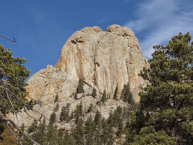
Twin Owls
1.1 mi (RT); 400 ft elevation gain |
Twin Sisters Peaks 11,400 ft
7.4 mi (RT); 2,400 ft elevation gain |
West Creek Falls
4.6 mi (RT); 600 ft elevation gain |
Wind River Trail
2.6 mi (RT); 450 ft elevation gain |
