|
|
|
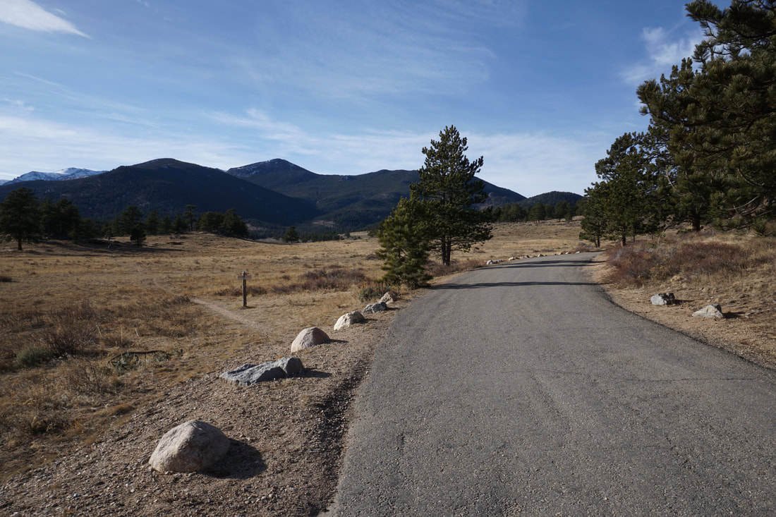
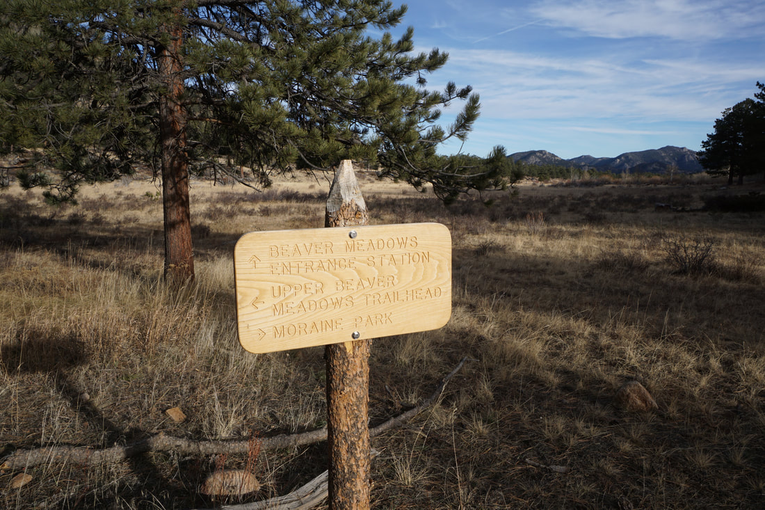
DIRECTIONS: Enter the park at the Beaver Meadows entrance and drive into the park, staying straight at the Bear Lake Road turnoff. Around the next bend, you'll see Upper Beaver Meadows Road on the left. Turn left and park where you can. In the winter, Upper Beaver Meadows Road is closed. Park along 36 and walk around the gate. The trail will split off to the south.
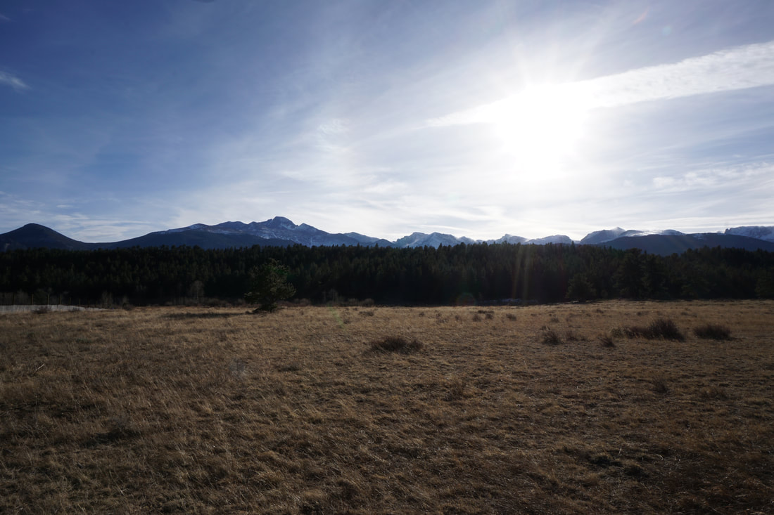
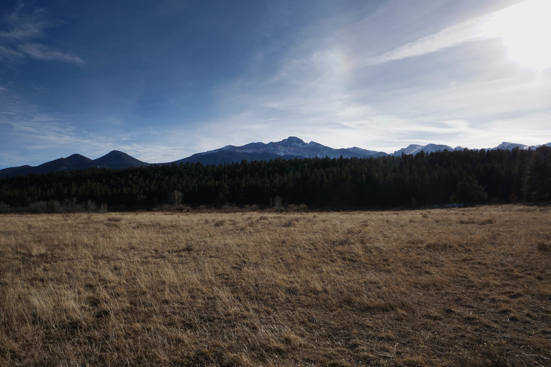
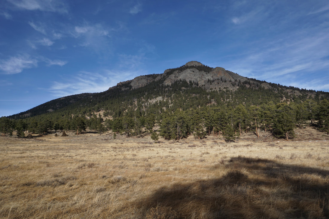
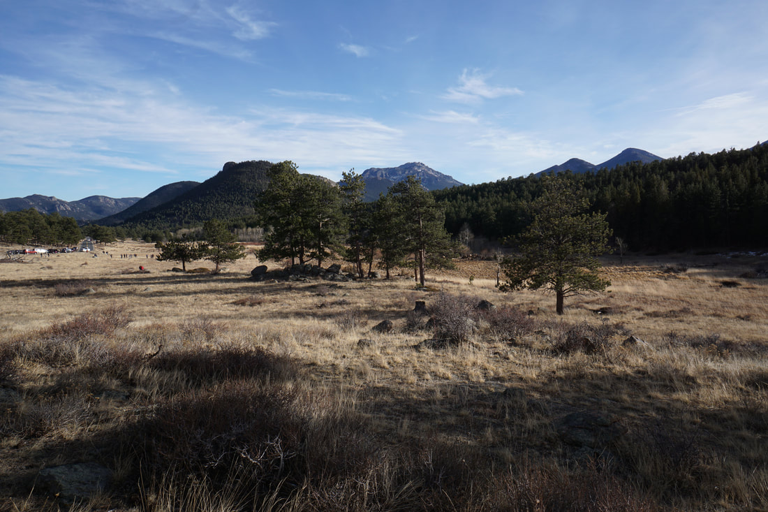
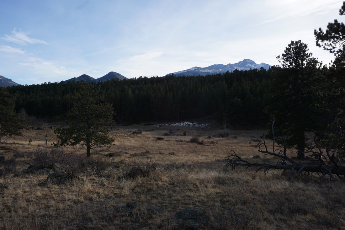
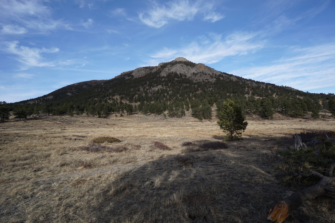
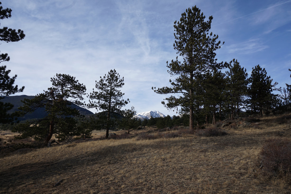
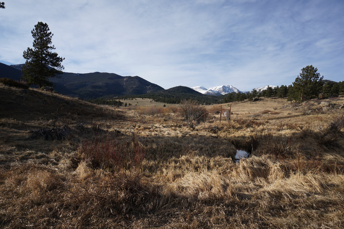
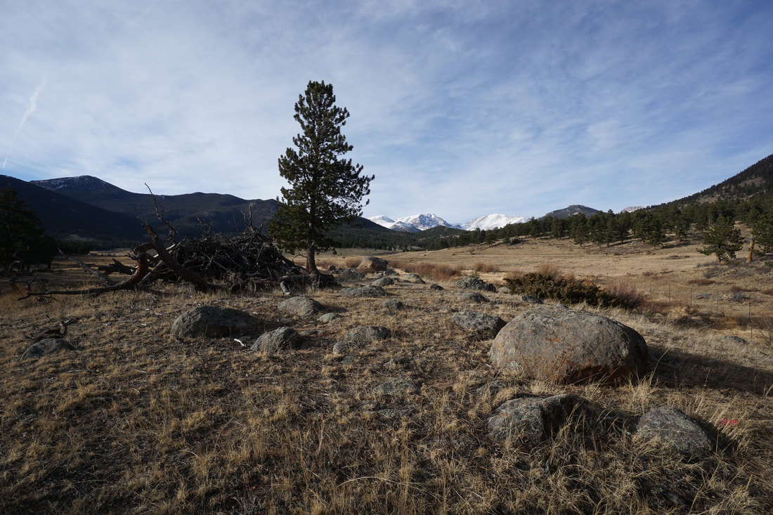
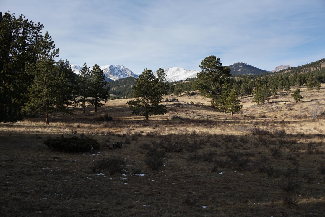
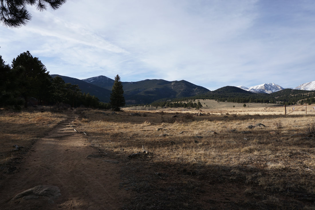
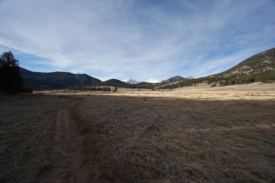
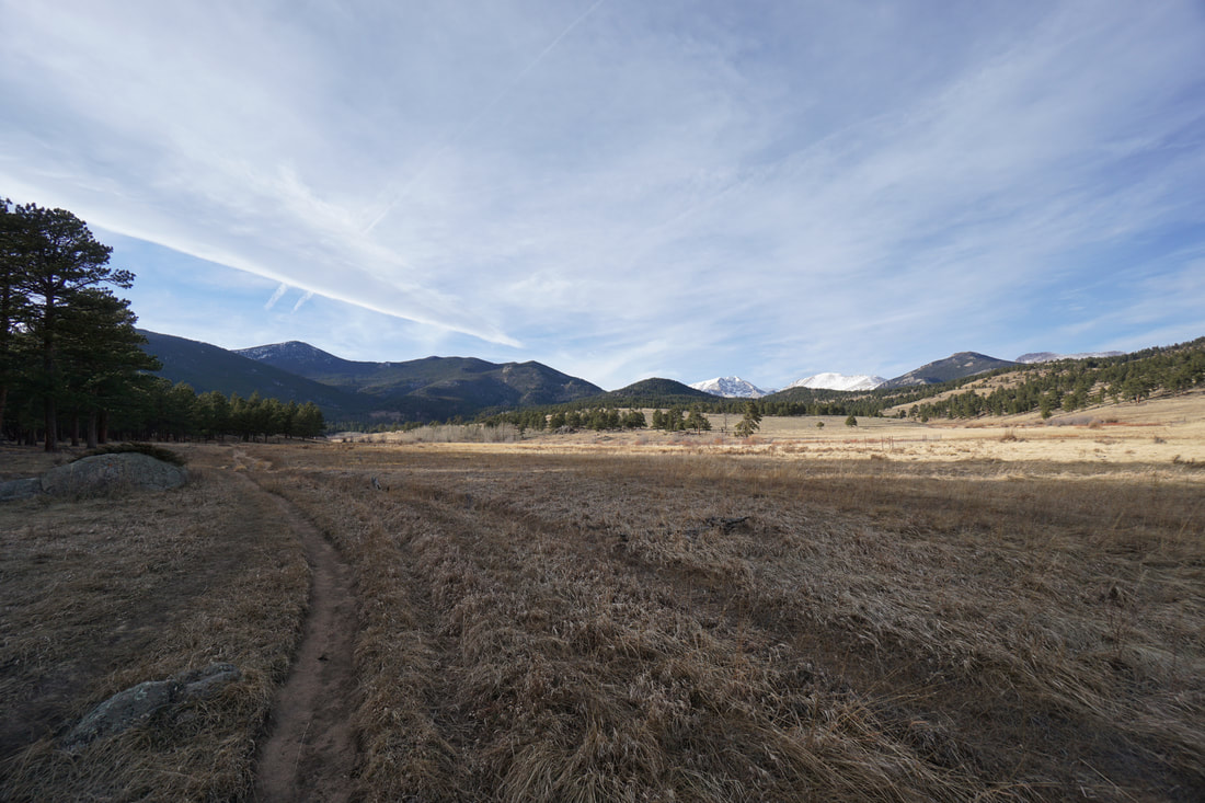
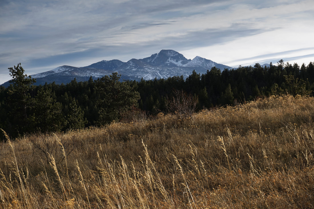
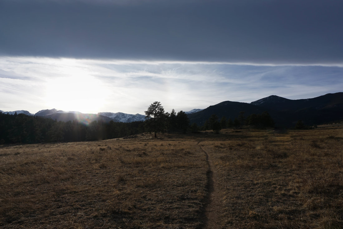
Beaver Meadows is a magical place. The meadow is nestled in between Deer Ridge & Horseshoe park to the north and Moraine Park to the South. Hiking the meadows offers vast views of Ypsilon Mountain to the Northwest, Deer Mountain to the North, and Long's Peak, and the Continental Divide to the South and West. The Meadow is also home to Elk herds active in the late fall, early winter rutting season, adding exciting wildlife viewing to your hiking experience.
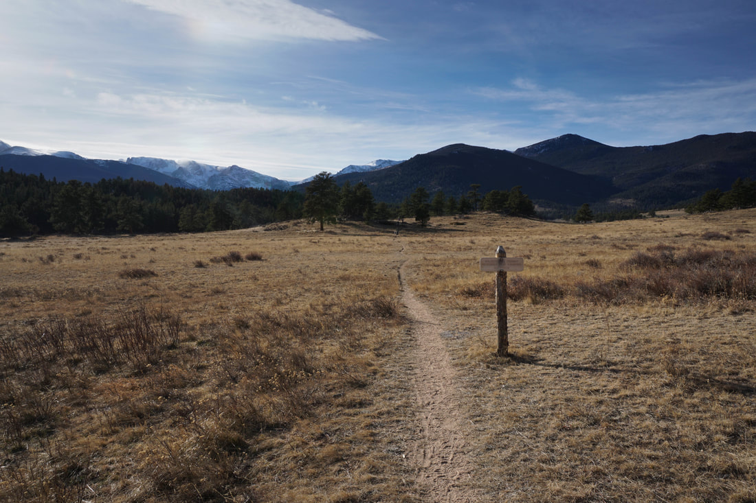
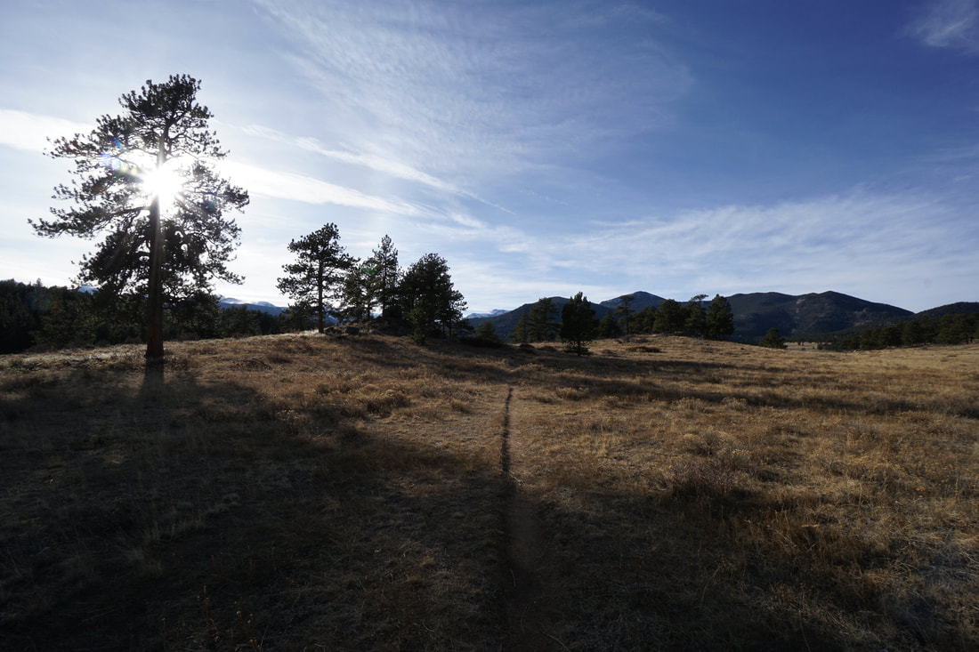
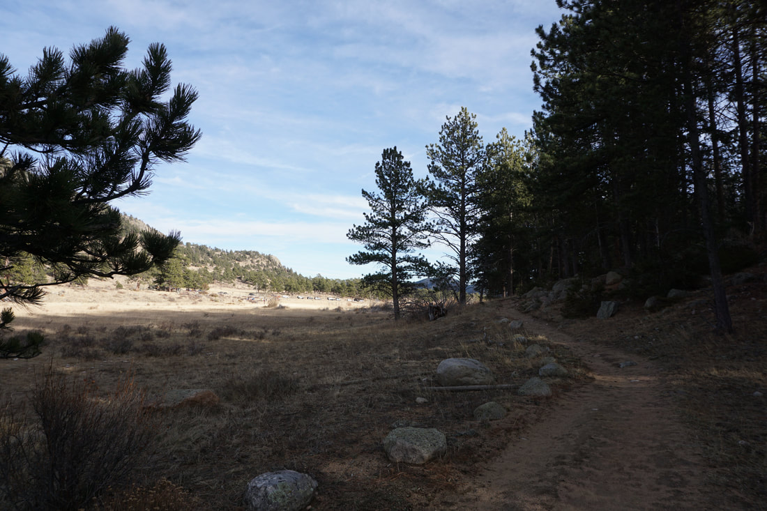
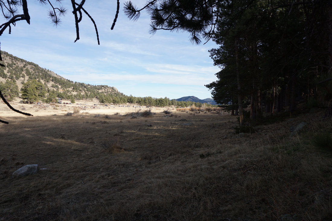
There is a system of trails running through the meadows and you can link the trails to your heart's content. For this description we hiked a small portion in the late afternoon with kids in tow, but you can (and should) add more to your hike. You can follow the trails to form a three mile loop through meadows and forest or connect to the Ute Trail or the Moraine Park area trails for longer more strenuous adventures. From the gate closure (in the off-season) on Upper Beaver Meadows Road follow the single track trail heading south towards a low hill. The views are immediate and wonderful. Climb a short ways to a small hill with nice views and down to a crossing of Beaver Brook. Continue south to a trail junction at the edge of the forest. This is the start of the loop. Turn whichever way you wish, but we explored the western portion of Beaver Meadow by turning west (right) at this junction. The trail continues to the west along the southern edge of the meadow and provides wonderful views of Ypsilon Mountain and the Mummy Range in the distance. During the off-season, this part of Beaver Meadows is peaceful and serene allowing you to enjoy a relaxing hike through the meadows. The trail turns south and ambles through pine forest before returning to Beaver Meadows and the trail junction. If you are looking for an easy, peaceful hike in the National Park with mountain views and wildlife viewing opportunities, this hike is for you. This area is also at a lower elevation then other areas of the park allowing for higher chances of snow free hiking well into the winter season. |
|