
|
|
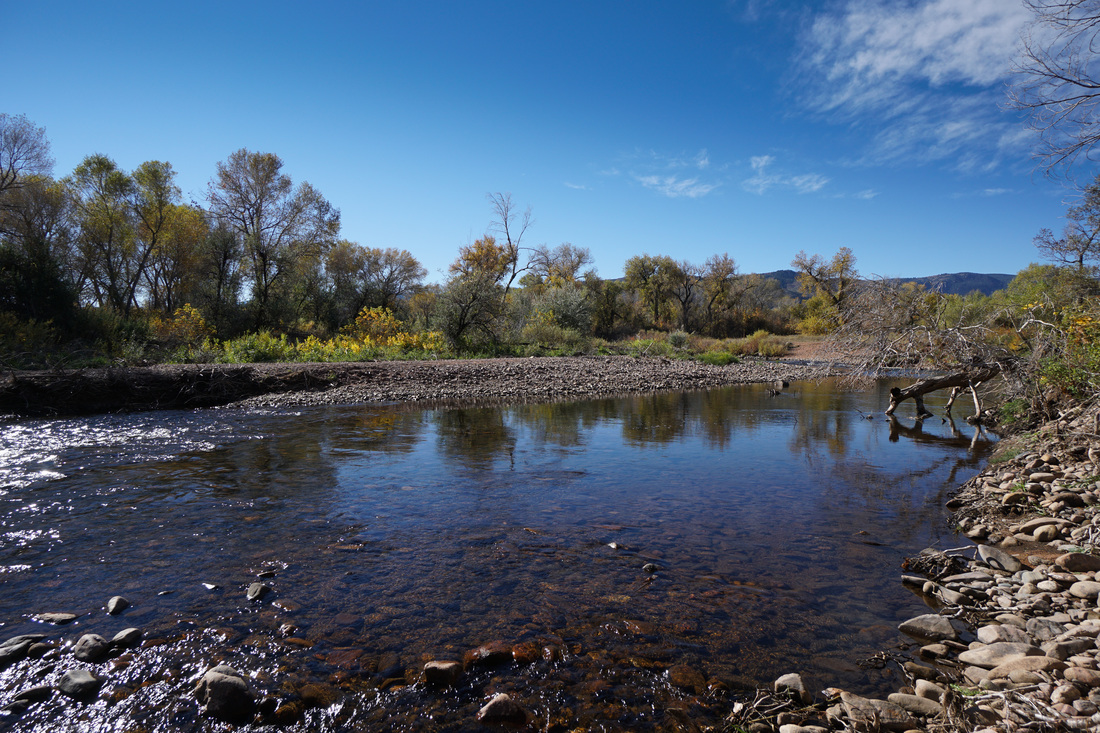
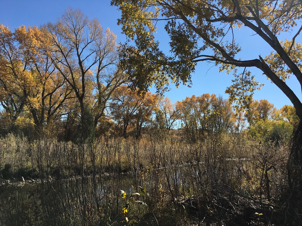
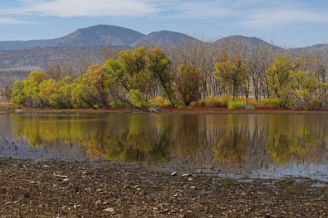
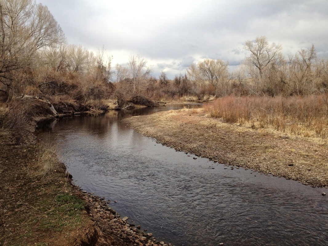
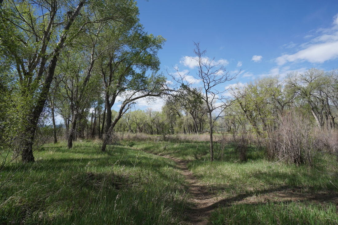
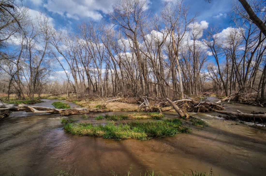
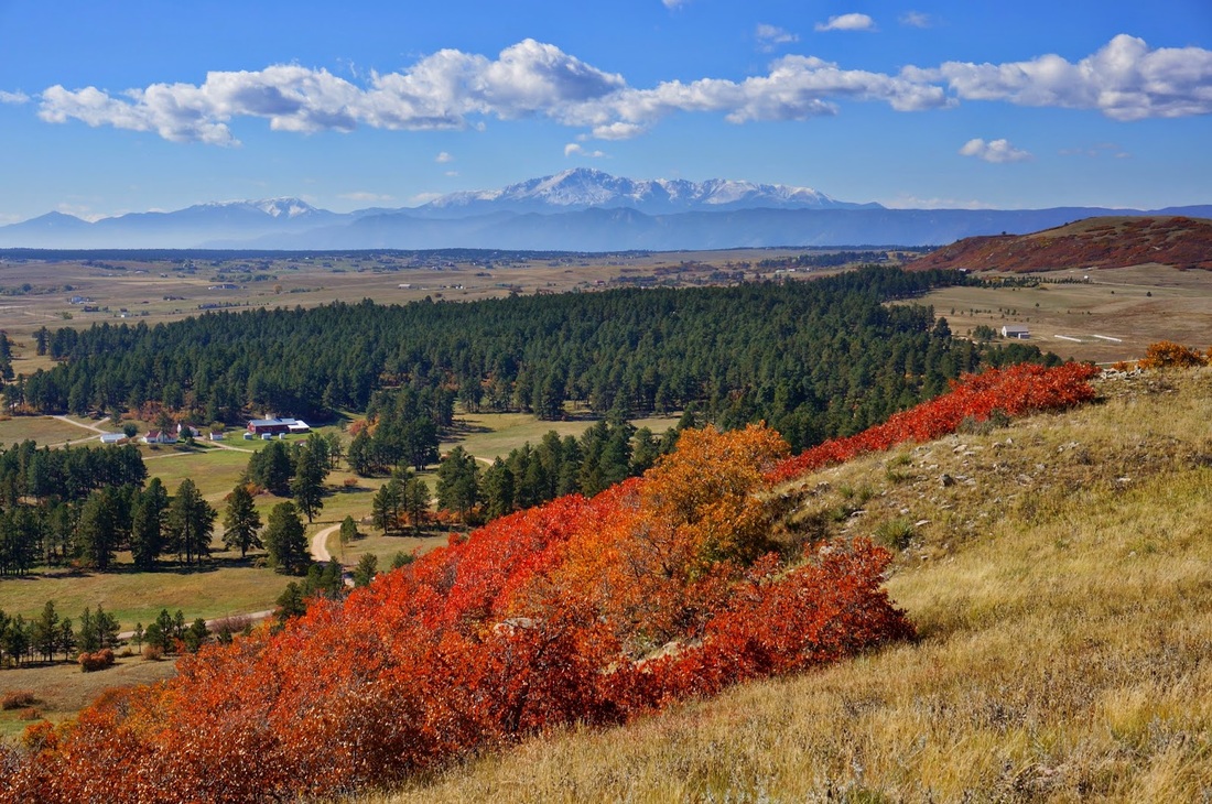
Chatfield State Park |
|
Audubon Discovery Loop
3.1 mi (RT); 312 ft elevation gain |
Audubon Nature Trail
1 mi (RT); minimal elevation gain |
Kingfisher Loop
1.3 mi (RT); 150 ft elevation gain |
Platte & Ponds Audubon Discovery Ctr.
6 mi (RT); 150 ft elevation gain |
Platte River Trail / Experimental Access Area
3.7 mi (RT); 100 ft elevation gain |
Plum Creek Nature Area
2.1 mi (RT); 100 ft elevation gain |
|
|
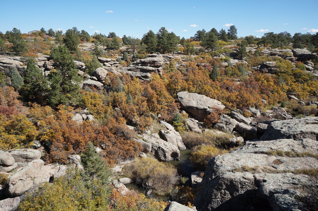
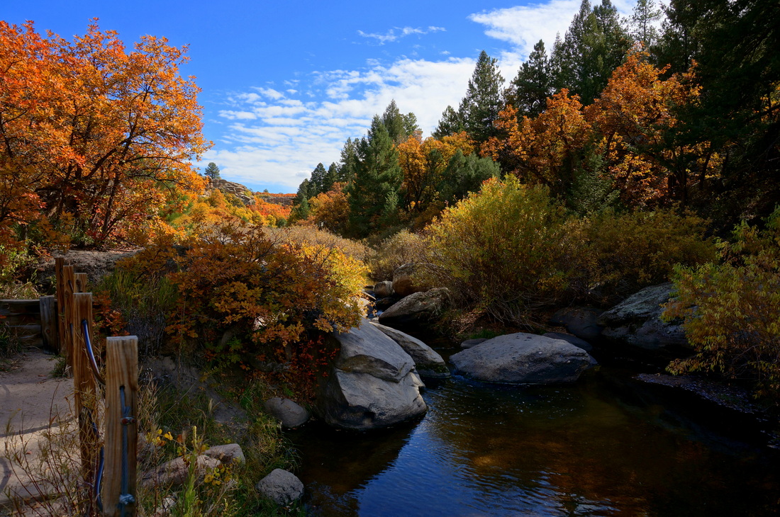
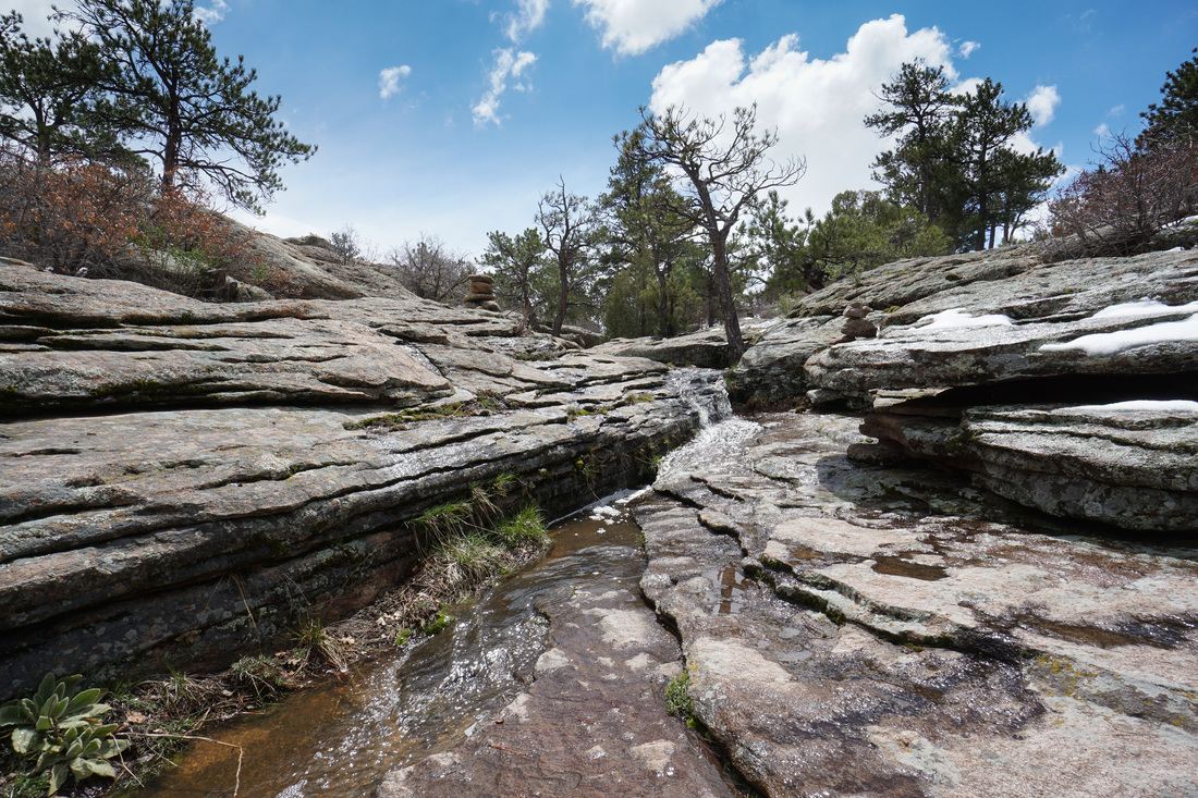
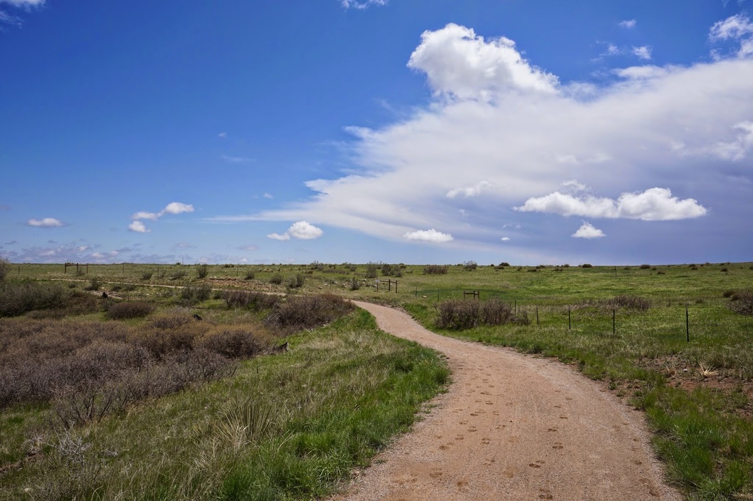
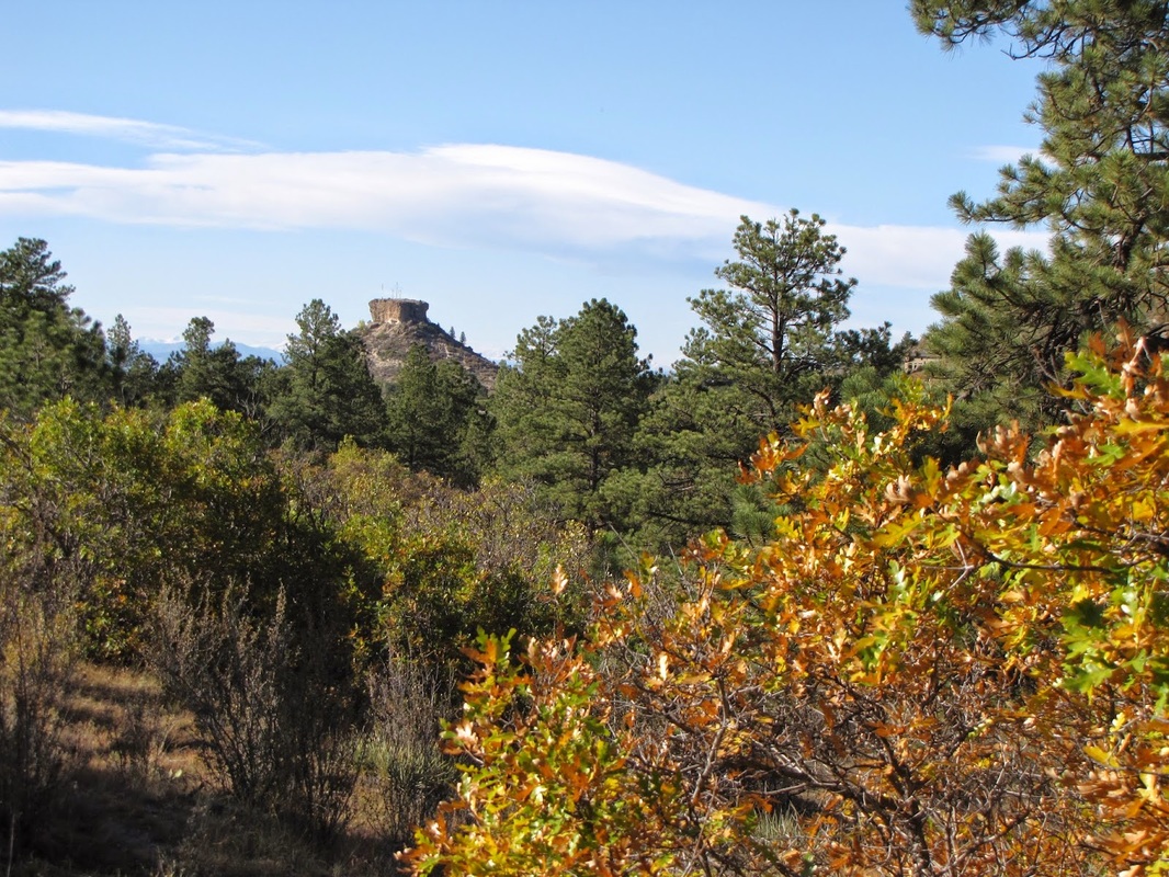
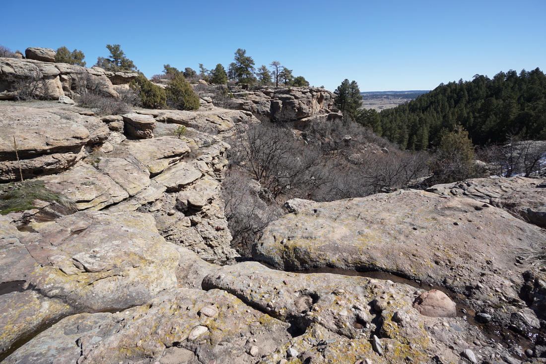
Castlewood Canyon State Park |
|
Canyon View Nature Trail + Inner Canyon/Lake Gulch Loop
3.1 mi (RT); 440 ft elevation gain |
Climbers > Cliff Base Trails
1 mi (RT); 350 ft elevation gain |
Creek Bottom>Inner Canyon>Lake Gulch>Rimrock Loop
6.8 mi (RT); 1,132 ft elevation gain |
East Canyon Preservation Area
4 mi (RT); 450 ft elevation gain |
|
|
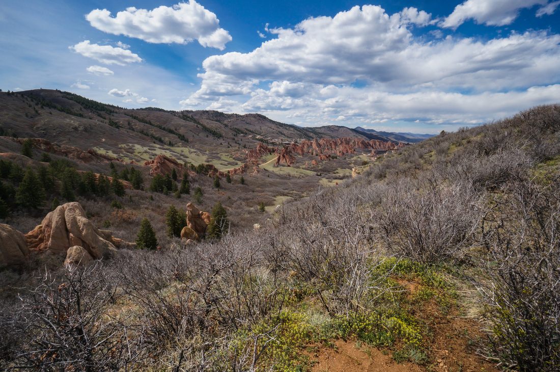
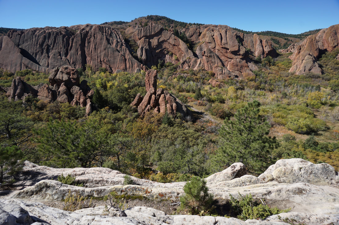
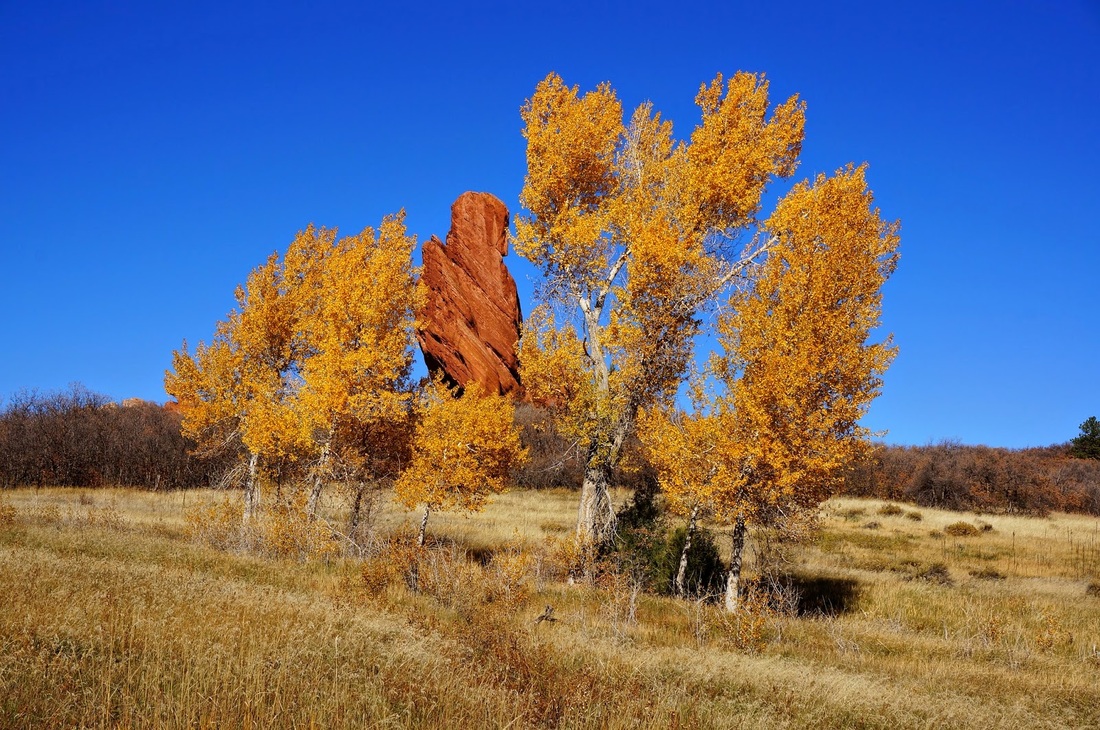
Roxborough State Park |
|
South Rim Trail
3.2 mi (RT); 510 ft elevation gain |
Fountain Valley Trail
2.7 mi (RT); 300 ft elevation gain |
Carpenter Peak
6.5 mi (RT); 1,000 ft elevation gain |
Nelson Ranch Open Space Connector
6 mi (RT); 500 ft elevation gain |
|
|
Douglas County Open Space |
|
Bluffs Regional Park
3 mi (RT); 200 ft elevation gain |
Columbine Open Space
2.6 mi (RT); 200 ft elevation gain |
Dawson Butte Ranch
5.2 mi (RT); 740 ft elevation gain |
Glendale Farm Open Space
1.9 mi (RT); 200 ft elevation gain |
Hidden Mesa Open Space
Mesa Rim Loop 3 mi (RT); minimal elevation gain |
Rocky Pass / Pleasant Pass Loop
2.8 mi (RT); 334 ft elevation gain |
Lincoln Mountain Open Space
Lincoln Mountain Trail 3.8 mi (RT); 530 ft elevation gain |
Lonehenge Viewpoint
5.2 mi (RT); 360 ft elevation gain |
Nelson Ranch Open Space
Swallowtail Trail Loops 6 mi (RT); 500 ft elevation gain |
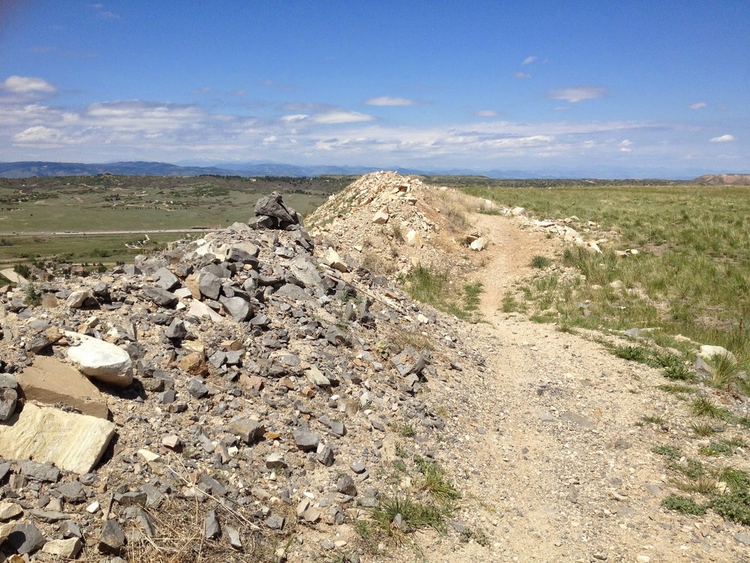
Quarry Mesa Open Space - Rhyolite Regional Park
4.4 mi (RT); 450 ft elevation gain |
Sandstone Ranch Open Space
Gamble Oak Loop 1 mi (RT); 120 ft elevation gain |

Sandstone Ranch Open Space
Juniper Valley Loop 3 mi (RT); 330 ft elevation gain |
Sharptail Ridge Open Space
Sharptail Trail 3.6 mi (RT); 524 ft elevation gain |
Spruce Mountain Open Space
Spruce Mt. > Upper Loop 4.7 mi (RT); 500 ft elevation gain |
|
|
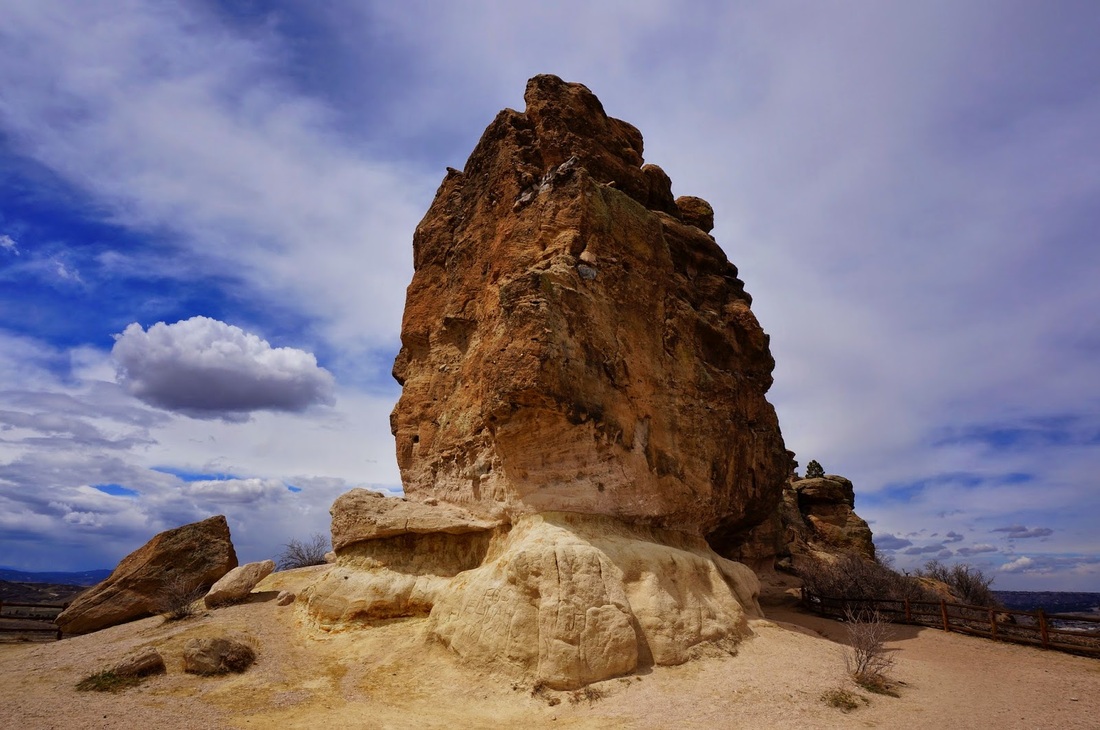
Town of Castle Rock Parks & Open Space |
|
Gateway Mesa Open Space
Chuck's Loop 1.8 mi (RT); 162 ft elevation gain |
Memmen Ridge Open Space
1.9 mi (RT); 200 ft elevation gain |
Mitchell Creek Canyon Trail
5.2 mi (RT); 379 ft elevation gain |
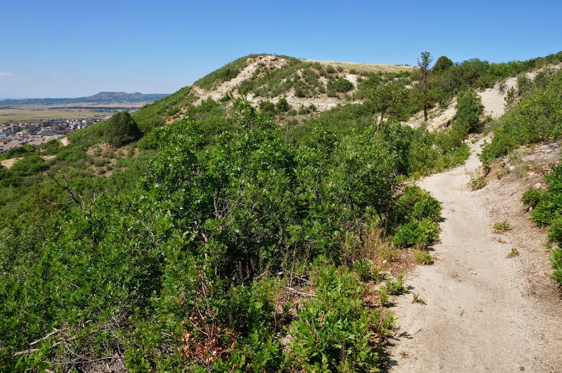
Ridgeline Open Space
1.9 mi (RT); 300 ft elevation gain |
Rock Park
1.5 mi (RT); 400 ft elevation gain |
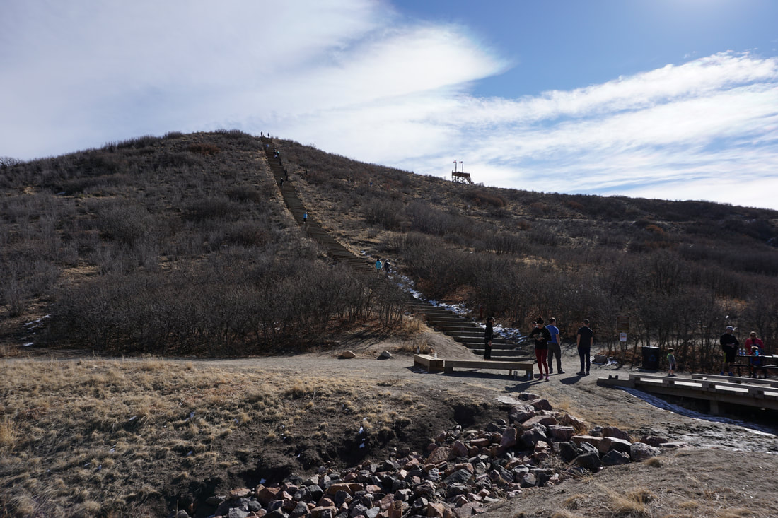
Philip S. Miller Park
Challenge Hill Incline (Blue Loop) .6 mi (RT); 200 ft elevation gain |
|
|
Other Douglas County Hikes |
|
Daniels Park
Denver Mountain Parks .5 mi (RT); 100 ft elevation gain |
Highlands Point - Highlands Ranch Backcountry Wilderness Area
2.25 mi (RT); 150 ft elevation gain |
Rosie Rueter Incline Trail
Rueter-Hess Recreation Authority 1 mi (RT); 290 ft elevation gain |
