GO HIKE COLORADO
Get in Touch:
  • HOME
  • ABOUT
  • HIKES BY REGION
    • DENVER AREA >
      • Denver Mountain Parks
      • Jefferson County Open Space
      • Lakewood Parks
      • Denver Area Greenways
    • BOULDER AREA
    • DOUGLAS COUNTY
    • FORT COLLINS AREA
    • COLORADO SPRINGS AREA
    • FRONT RANGE
    • TENMILE & MOSQUITO RANGES
    • GORE RANGE
    • SANGRE DE CRISTO MOUNTAINS
    • PARK RANGE
    • SAWATCH RANGE
    • ELK MOUNTAINS
    • SAN JUAN MOUNTAINS
    • THE FLAT TOPS
    • GRAND MESA
    • COLORADO PLATEAU
    • EASTERN PLAINS
  • NATIONAL PARK HIKES
    • BENT'S OLD FORT NATIONAL HISTORIC SITE
    • BLACK CANYON OF THE GUNNISON NATIONAL PARK
    • COLORADO NATIONAL MONUMENT
    • CURECANTI NATIONAL RECREATION AREA
    • DINOSAUR NATIONAL MONUMENT
    • FLORISSANT FOSSIL BEDS NATIONAL MONUMENT
    • MESA VERDE NATIONAL PARK
    • ROCKY MOUNTAIN NATIONAL PARK
    • GREAT SAND DUNES NATIONAL PARK
    • HOVENWEEP NATIONAL MONUMENT
    • SAND CREEK MASSACRE NATIONAL HISTORIC SITE
    • YUCCA HOUSE NATIONAL MONUMENT
  • HIKES BY CATEGORY
    • HIKES TO ALPINE LAKES
    • HIKES TO PEAKS & PASSES
    • HIKES THROUGH CANYONS
    • HIKES WITH FALL COLORS
    • HIKES ALONG THE I-70 CORRIDOR
    • HIKES ON PAVED TRAILS
    • HIKES FOR KIDS
    • HIKES TO WATERFALLS
    • HIKES ALONG RIVERS
    • HIKES WITH ROCK FORMATIONS
    • HIKES WITH WILDFLOWERS
    • WINTER HIKES
  • NEWS
  • WEBCAMS
  • $UPPORT GHC
  • INTERACTIVE MAP

Glendale Farm Trail
Glendale Farm Open Space

Date Hiked: January 15, 2012

​Distance: 1.9 mi (RT)
Elevation Gain: 200ft
Elevation Min/Max: 6,232 to 6,397ft
Managing Agency: Douglas County Open Space
Fee: None

Glendale Farm OS Website
Picture

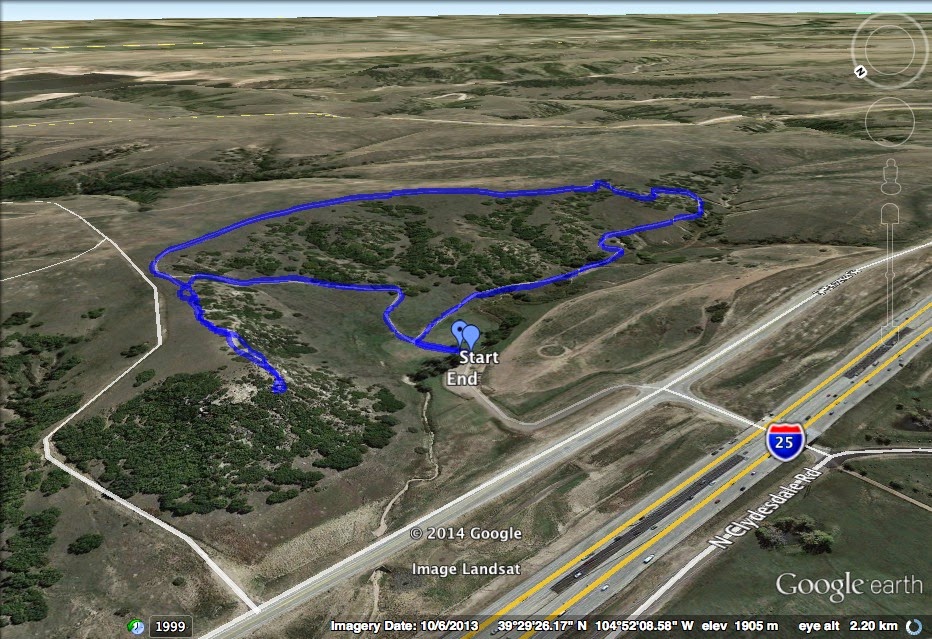
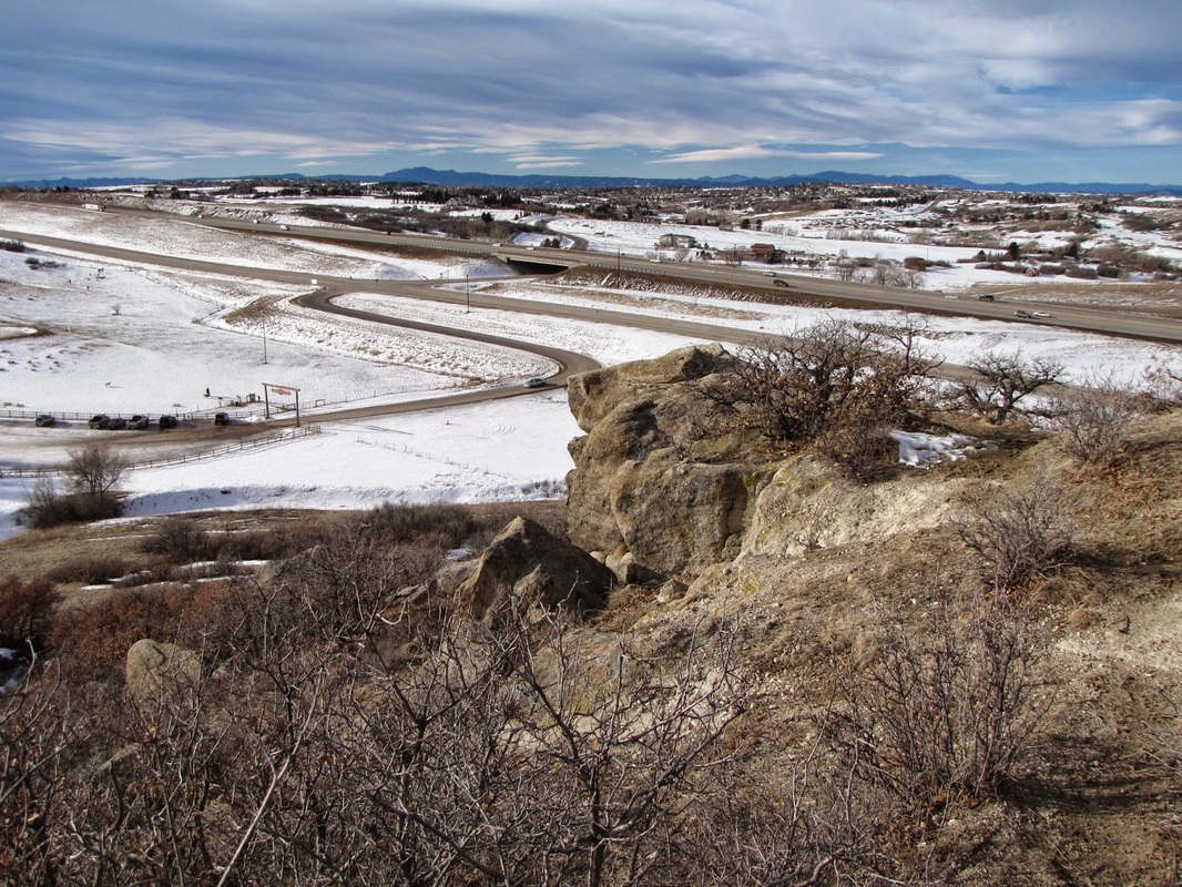
Directions:  From Denver, take I-25 south to Exit 192 (RidgeGate), head south for 2 miles on East Frontage Road to the trailhead and parking area.

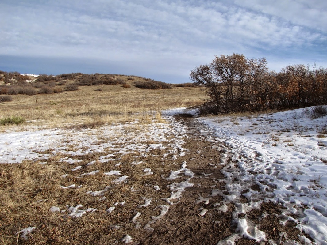
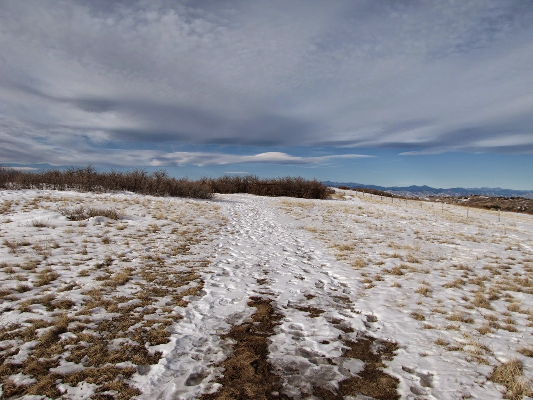
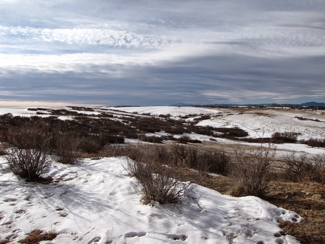
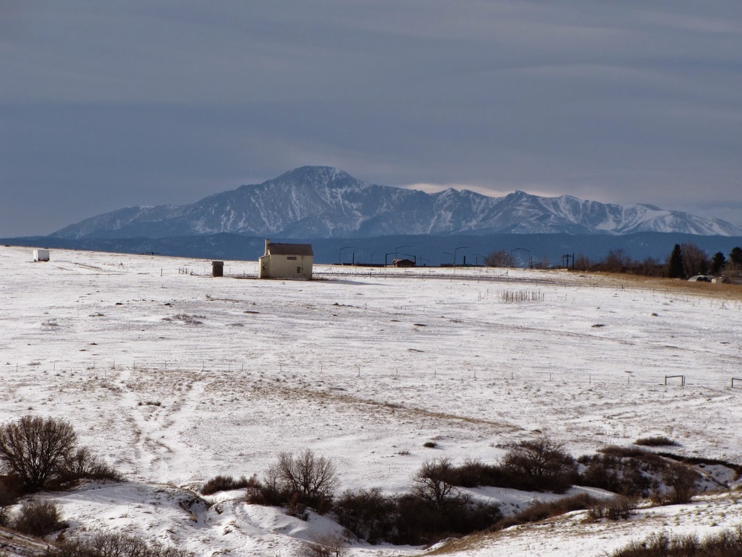
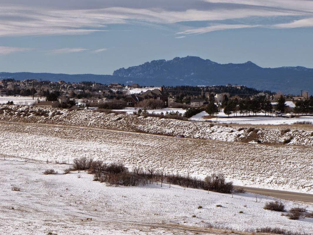
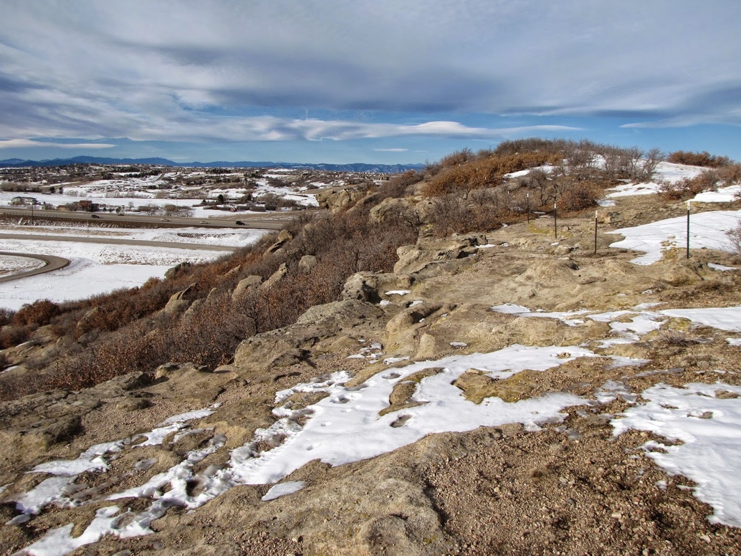
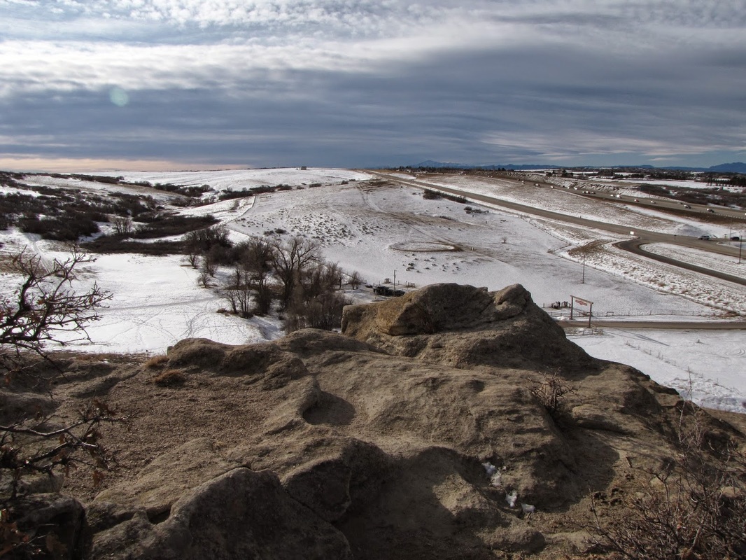
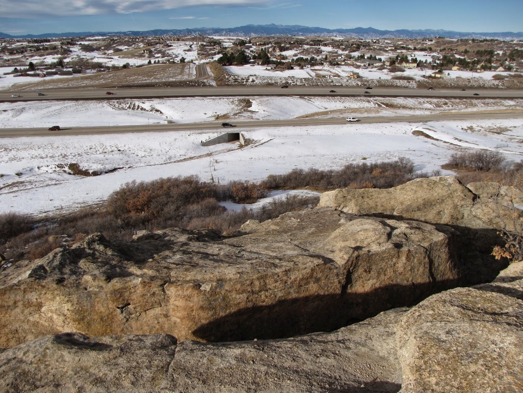
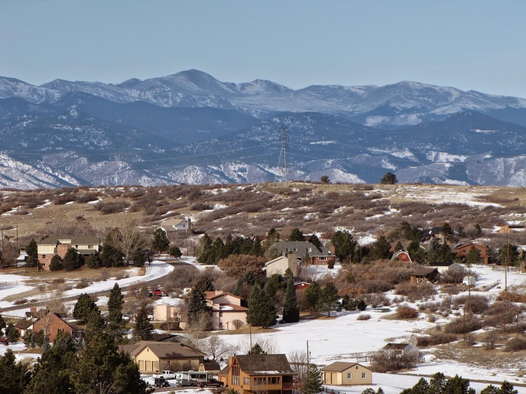
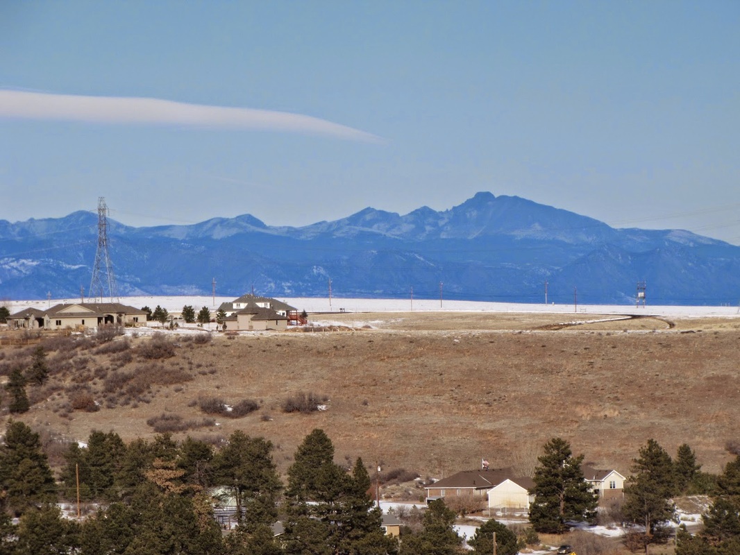
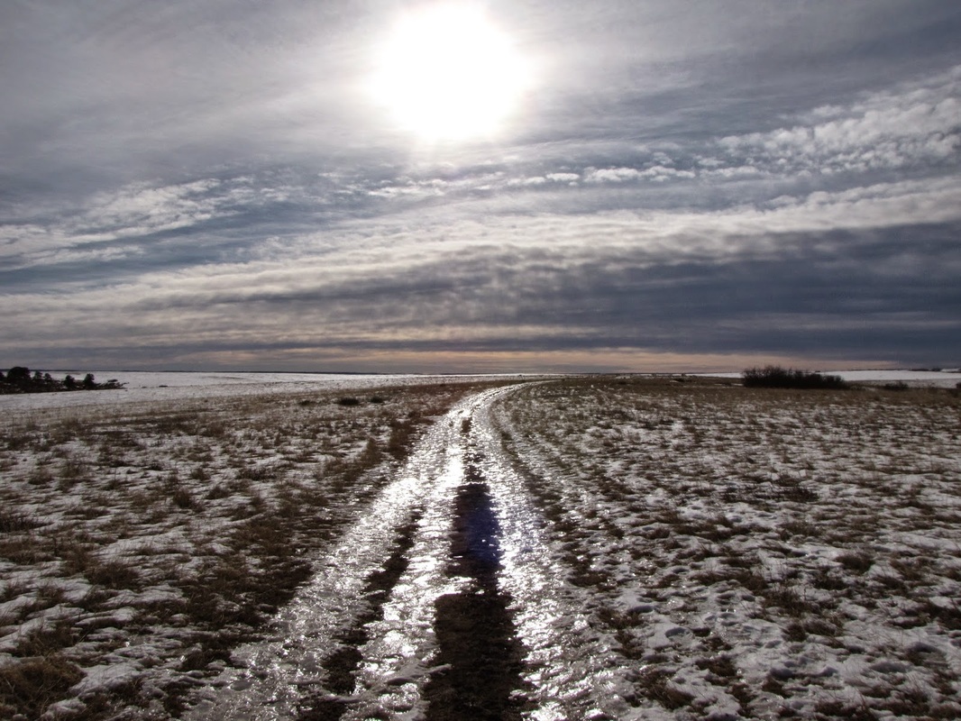
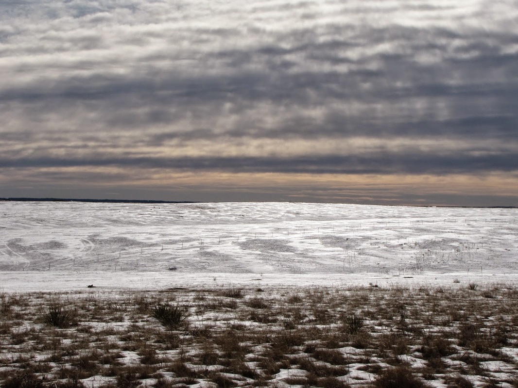
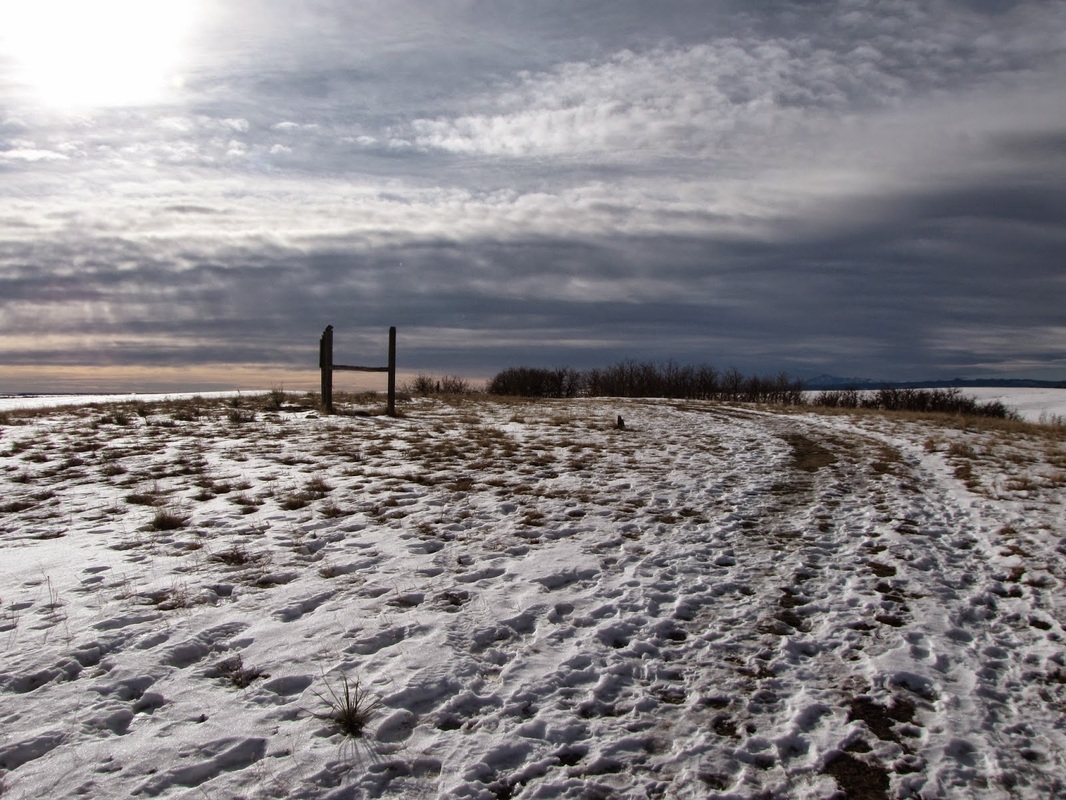
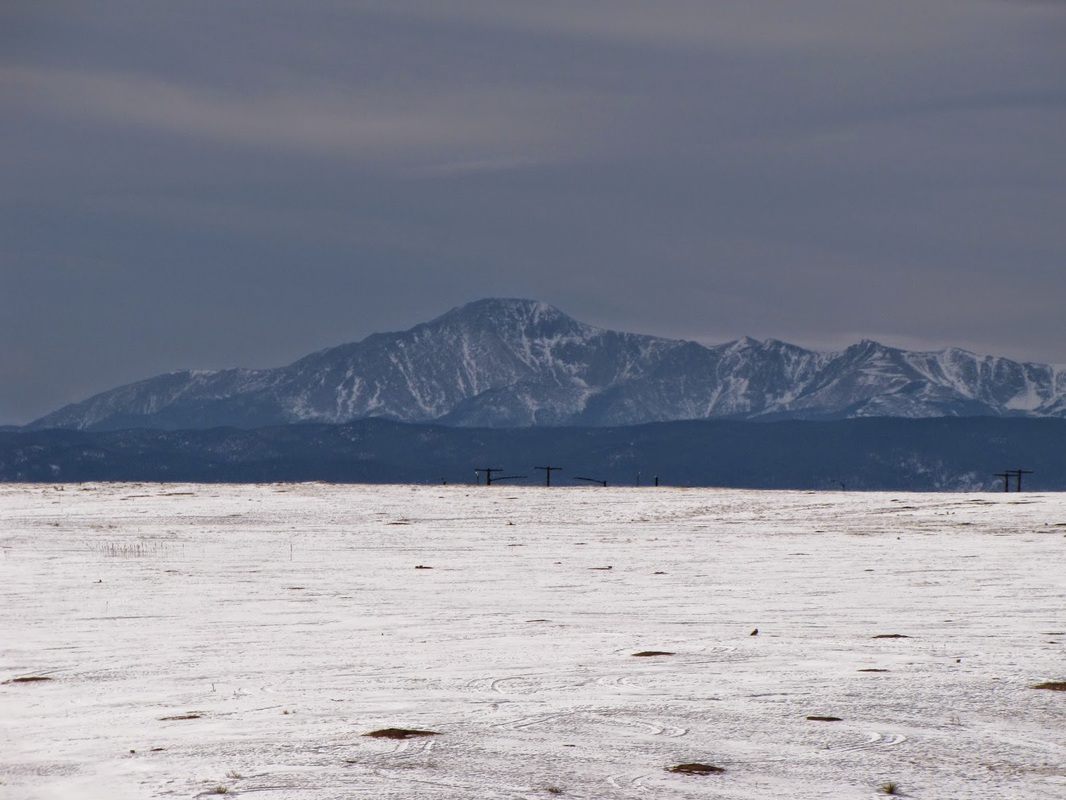
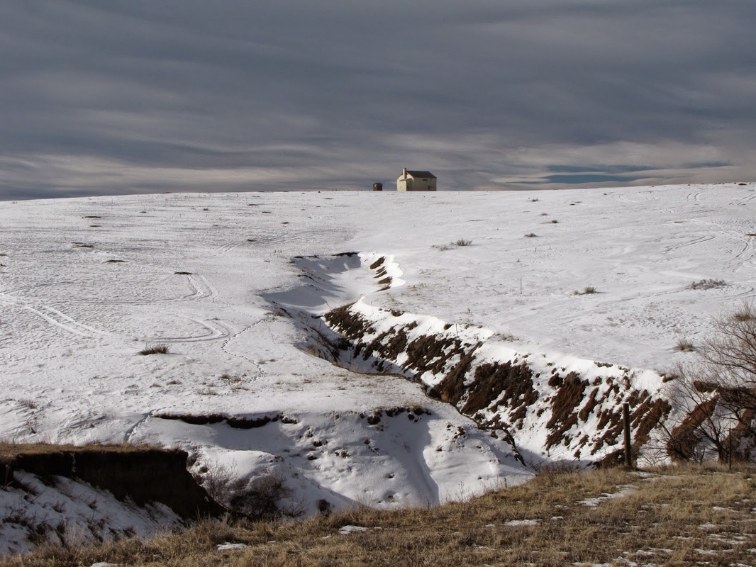
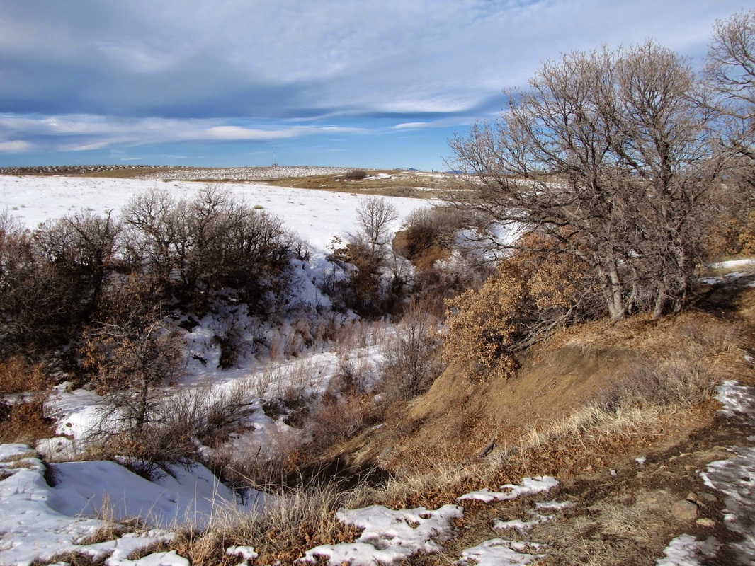
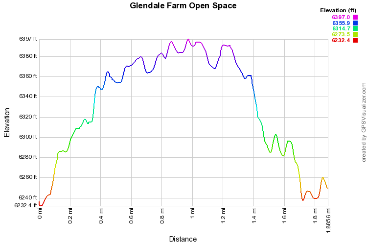
Glendale Farm Open Space is a popular hike just south of the Denver Tech Center.  The hike climbs to the top of a ridge and then remains mostly flat with wide open views of the plains and the Front Range.  From the parking area head up the Glendale Farm Trail, staying left at the fork.  After a short and easy climb you'll reach a trail junction, the main trail goes right, but first, take the trail to left for a terrific diversion.  The trail to the left explores a rocky cliff face with great views an interesting terrain.  Double back to the trail junction and continue the Glendale Farm Trail.  The remaining loop crosses open and exposed flatlands providing views of virtually all the iconic Front Range mountains including, Pike's Peak, Devil's Head, Mt. Evans, and Longs Peak.  The trail gradually descends the slopes back to the parking area. 
© Go Hike Colorado, 2020.  All Rights Reserved. 
Use of photographs without prior authorization is
​strictly prohibited.


Contact us at:
[email protected]
Legal Disclaimer - Information provided on this site is based upon our own observations, always double check information with the appropriate land management agency before heading into the backcountry.  Backcountry travel is inherently dangerous, please take all proper precautions.  Go Hike Colorado is not responsible for injury or incident.