GO HIKE COLORADO
Get in Touch:
  • HOME
  • ABOUT
  • HIKES BY REGION
    • DENVER AREA >
      • Denver Mountain Parks
      • Jefferson County Open Space
      • Lakewood Parks
      • Denver Area Greenways
    • BOULDER AREA
    • DOUGLAS COUNTY
    • FORT COLLINS AREA
    • COLORADO SPRINGS AREA
    • FRONT RANGE
    • TENMILE & MOSQUITO RANGES
    • GORE RANGE
    • SANGRE DE CRISTO MOUNTAINS
    • PARK RANGE
    • SAWATCH RANGE
    • ELK MOUNTAINS
    • SAN JUAN MOUNTAINS
    • THE FLAT TOPS
    • GRAND MESA
    • COLORADO PLATEAU
    • EASTERN PLAINS
  • NATIONAL PARK HIKES
    • BENT'S OLD FORT NATIONAL HISTORIC SITE
    • BLACK CANYON OF THE GUNNISON NATIONAL PARK
    • COLORADO NATIONAL MONUMENT
    • CURECANTI NATIONAL RECREATION AREA
    • DINOSAUR NATIONAL MONUMENT
    • FLORISSANT FOSSIL BEDS NATIONAL MONUMENT
    • MESA VERDE NATIONAL PARK
    • ROCKY MOUNTAIN NATIONAL PARK
    • GREAT SAND DUNES NATIONAL PARK
    • HOVENWEEP NATIONAL MONUMENT
    • SAND CREEK MASSACRE NATIONAL HISTORIC SITE
    • YUCCA HOUSE NATIONAL MONUMENT
  • HIKES BY CATEGORY
    • HIKES TO ALPINE LAKES
    • HIKES TO PEAKS & PASSES
    • HIKES THROUGH CANYONS
    • HIKES WITH FALL COLORS
    • HIKES ALONG THE I-70 CORRIDOR
    • HIKES ON PAVED TRAILS
    • HIKES FOR KIDS
    • HIKES TO WATERFALLS
    • HIKES ALONG RIVERS
    • HIKES WITH ROCK FORMATIONS
    • HIKES WITH WILDFLOWERS
    • WINTER HIKES
  • NEWS
  • WEBCAMS
  • $UPPORT GHC
  • INTERACTIVE MAP


Eagle's Nest Wilderness, White River National Forest
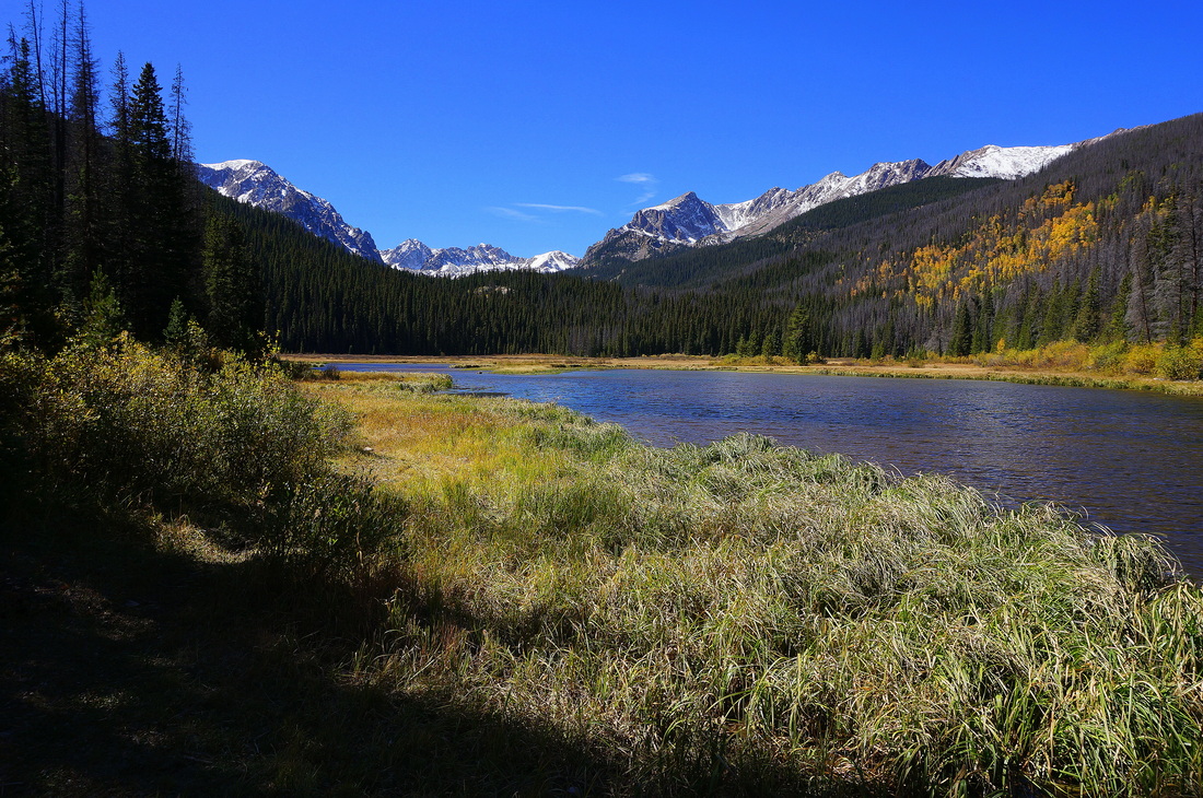
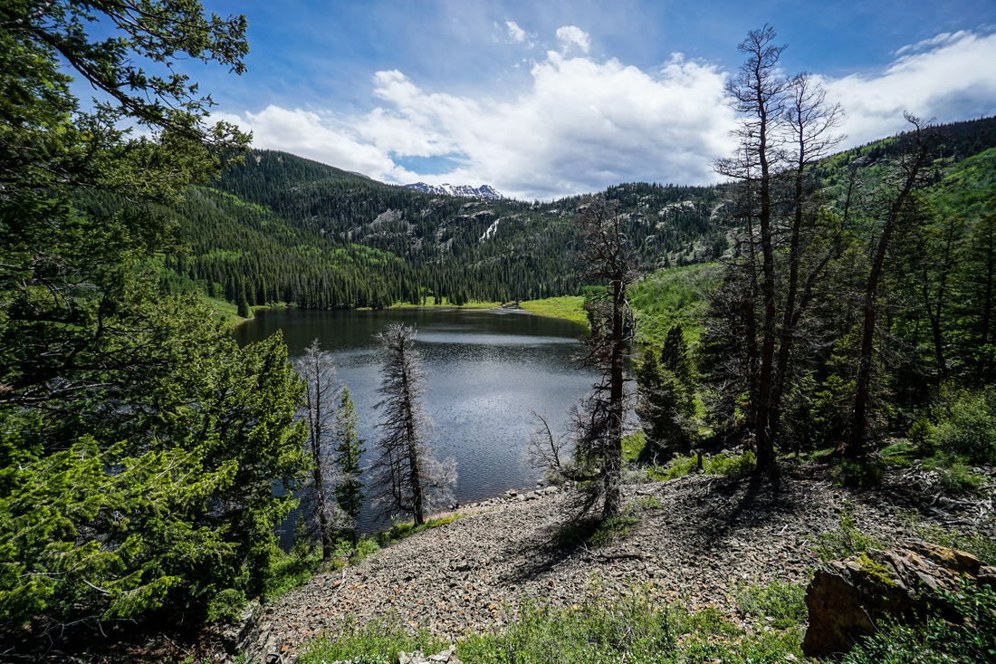

Picture
Boulder Lake
5.8 mi (RT); 1,671 ft elevation gain
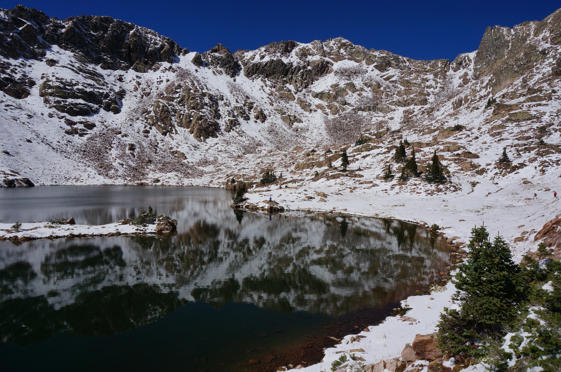
Picture
Booth Lake
8.7 mi (RT); 3,590 ft elevation gain
Picture
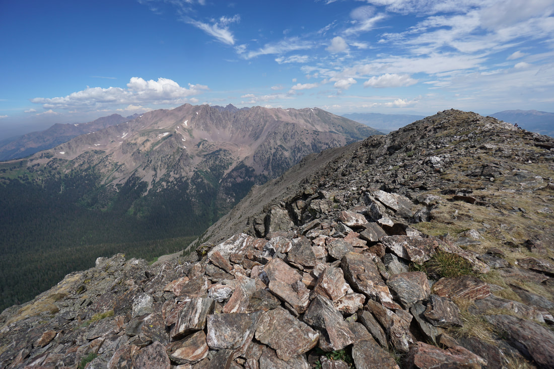
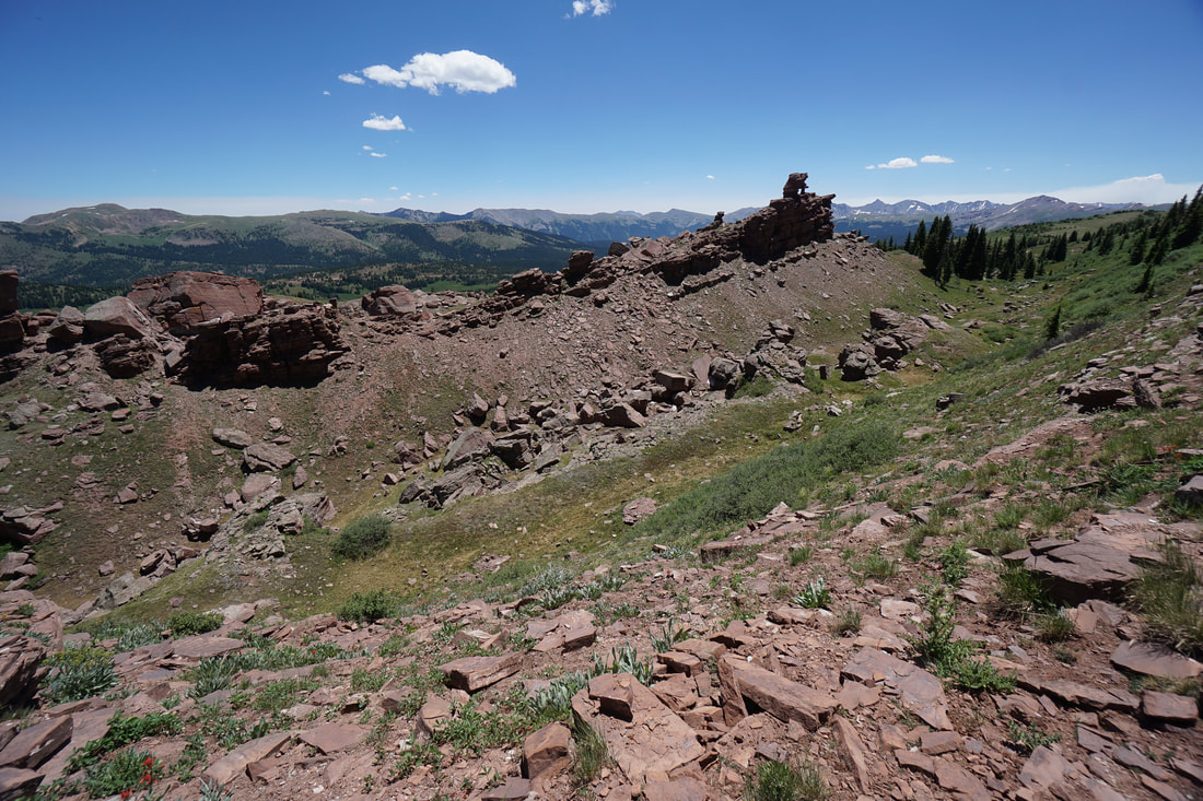
Buffalo Mountain 12,777 ft
5.8 mi (RT); 3,178 ft elevation gain
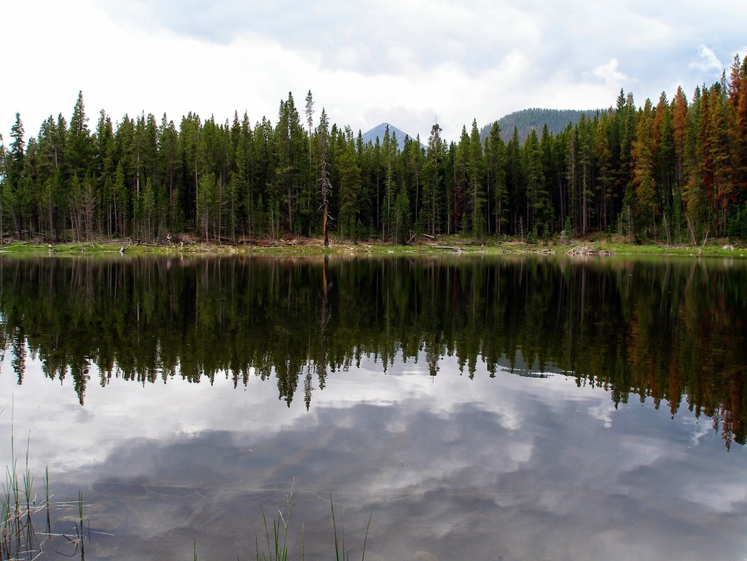
Picture
Lilly Pad Lake
2.8 mi (RT); 125 ft elevation gain
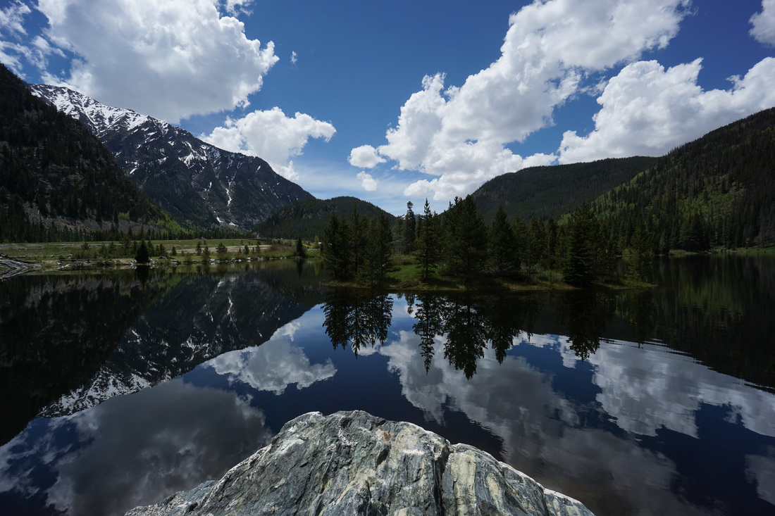
Picture
Lower Cataract Lake
2.5 mi (RT); 751 ft elevation gain
Picture
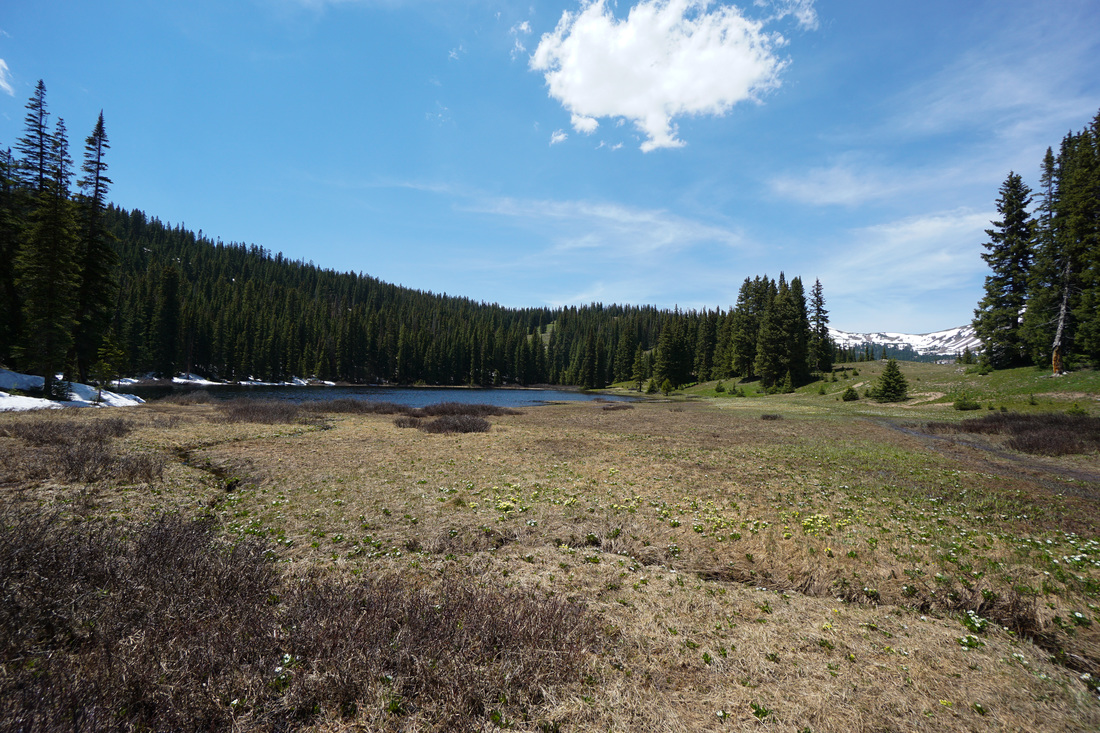
Wheeler Lakes via Gore Range Trail
5.8 mi (RT); 1,721 ft elevation gain


White River National Forest


Picture
Lower Salt Lick Loop
White River National Forest
2.3 mi (RT); 300 ft elevation gain
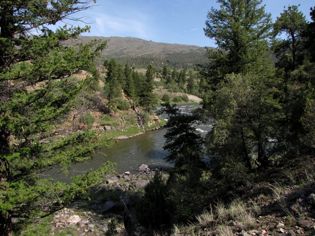
Picture
Officers Gulch Pond
White River National Forest
1.7 mi (RT); 190 ft elevation gain
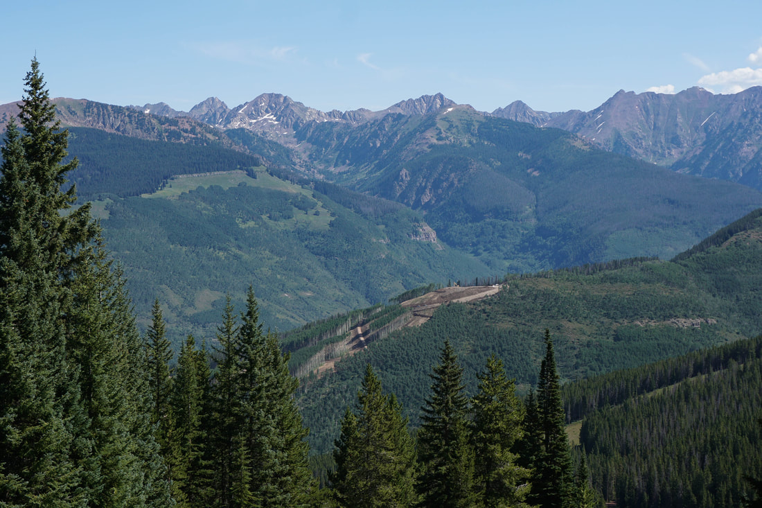
Picture
Shrine Mountain
White River National Forest
4.6 mi (RT); 1,500 ft elevation gain


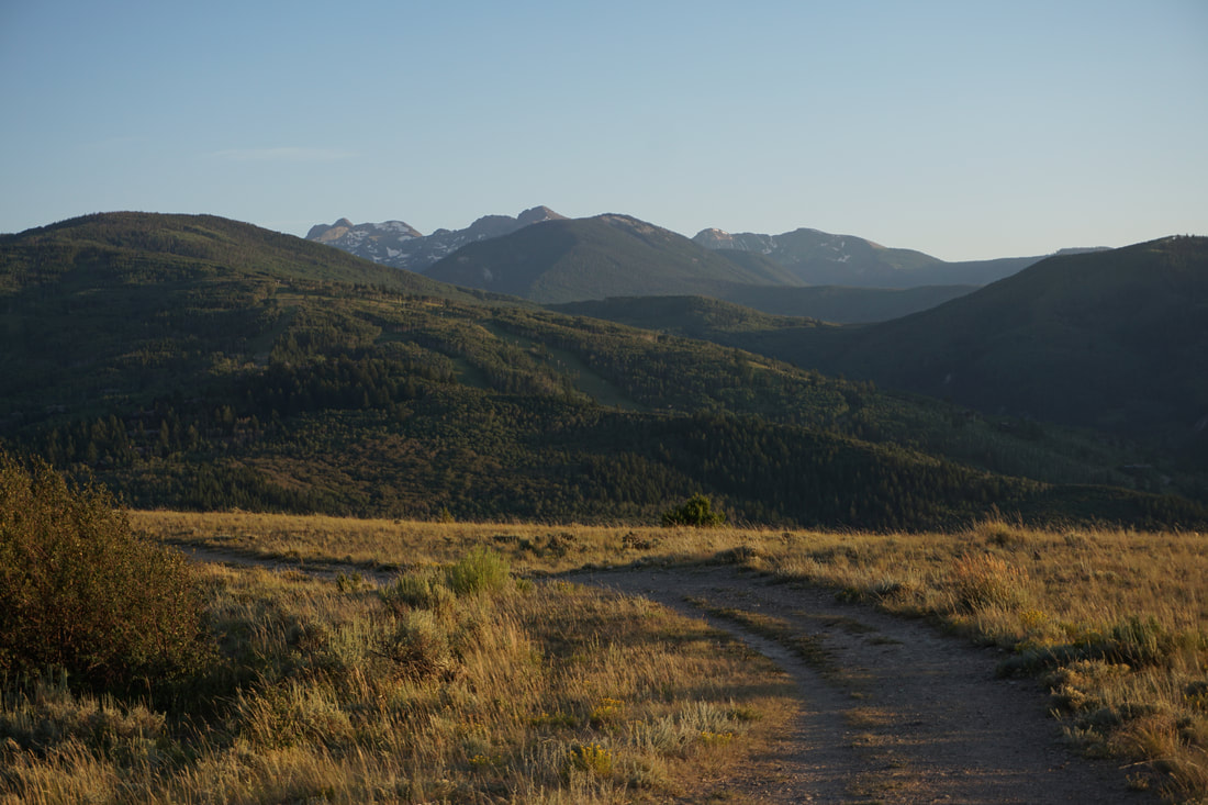
Other Gore Range Hikes


Picture
Beaver Creek Point
West Avon Preserve
1 mi (RT); 250 ft elevation gain
Picture
Gore Canyon Trail
Pumphouse Recreation Area
3 mi (RT); 160 ft elevation gain
Picture
Meadows Loop
Vail Mountain Resort
2.5 mi (RT); 700 ft elevation gain

© Go Hike Colorado, 2020.  All Rights Reserved. 
Use of photographs without prior authorization is
​strictly prohibited.


Contact us at:
[email protected]
Legal Disclaimer - Information provided on this site is based upon our own observations, always double check information with the appropriate land management agency before heading into the backcountry.  Backcountry travel is inherently dangerous, please take all proper precautions.  Go Hike Colorado is not responsible for injury or incident.