|
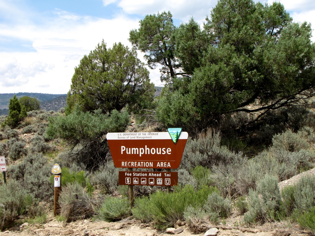
Directions: From Silverthorne, head North on Hwy 9 towards Kremmling. 9 miles south of Kremmling, turn left (west) on Grand County Rd 1. Take this good dirt road 10 miles to the Pumphouse Recreation Area. The trail starts at Launch site #1.
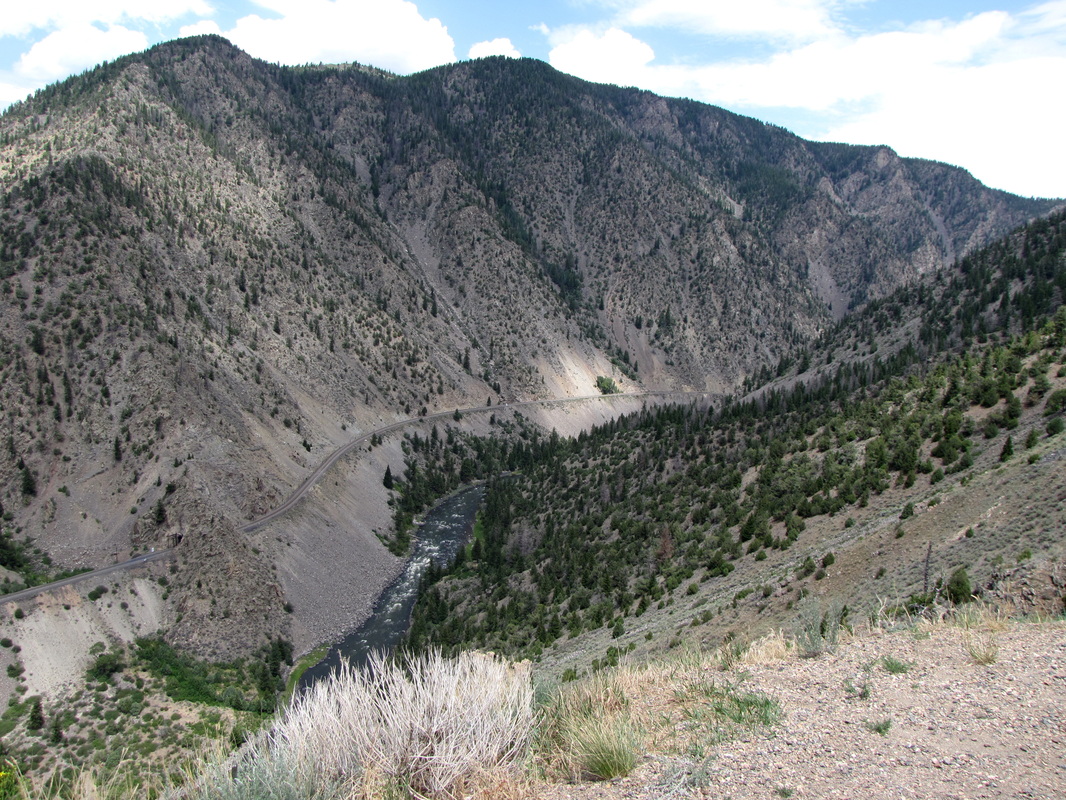
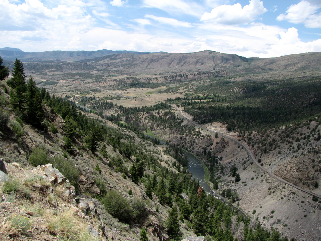
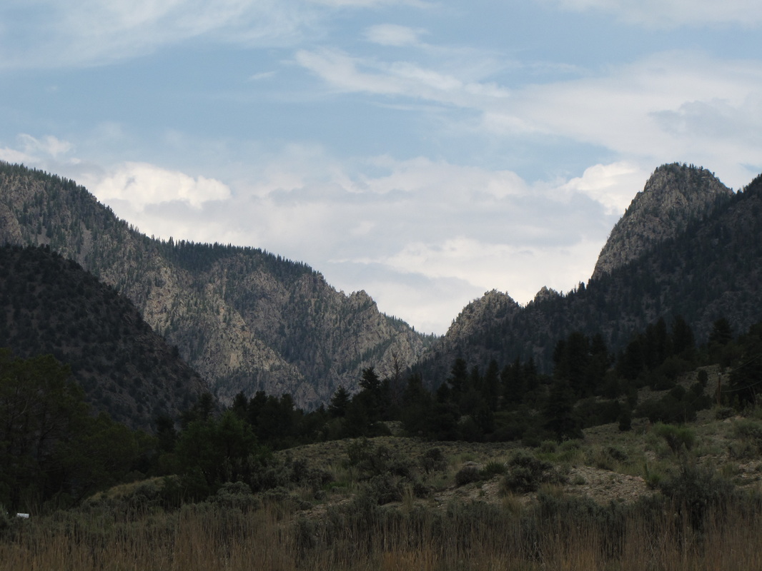
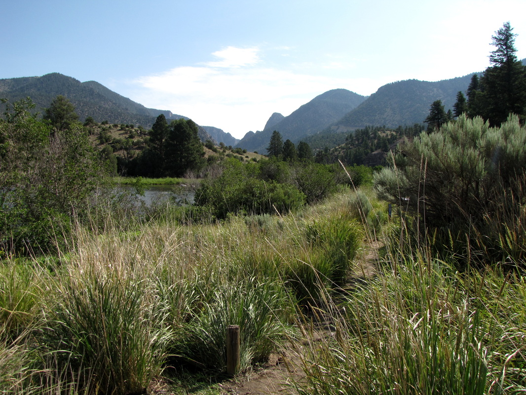
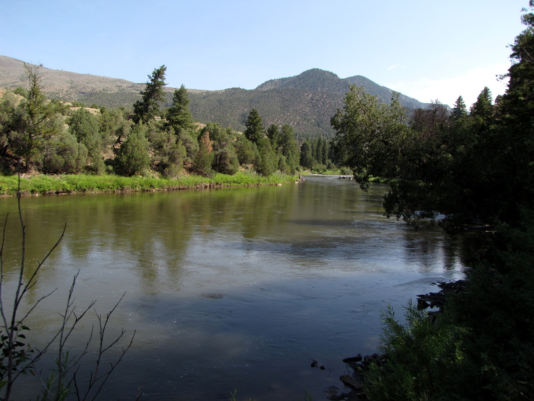
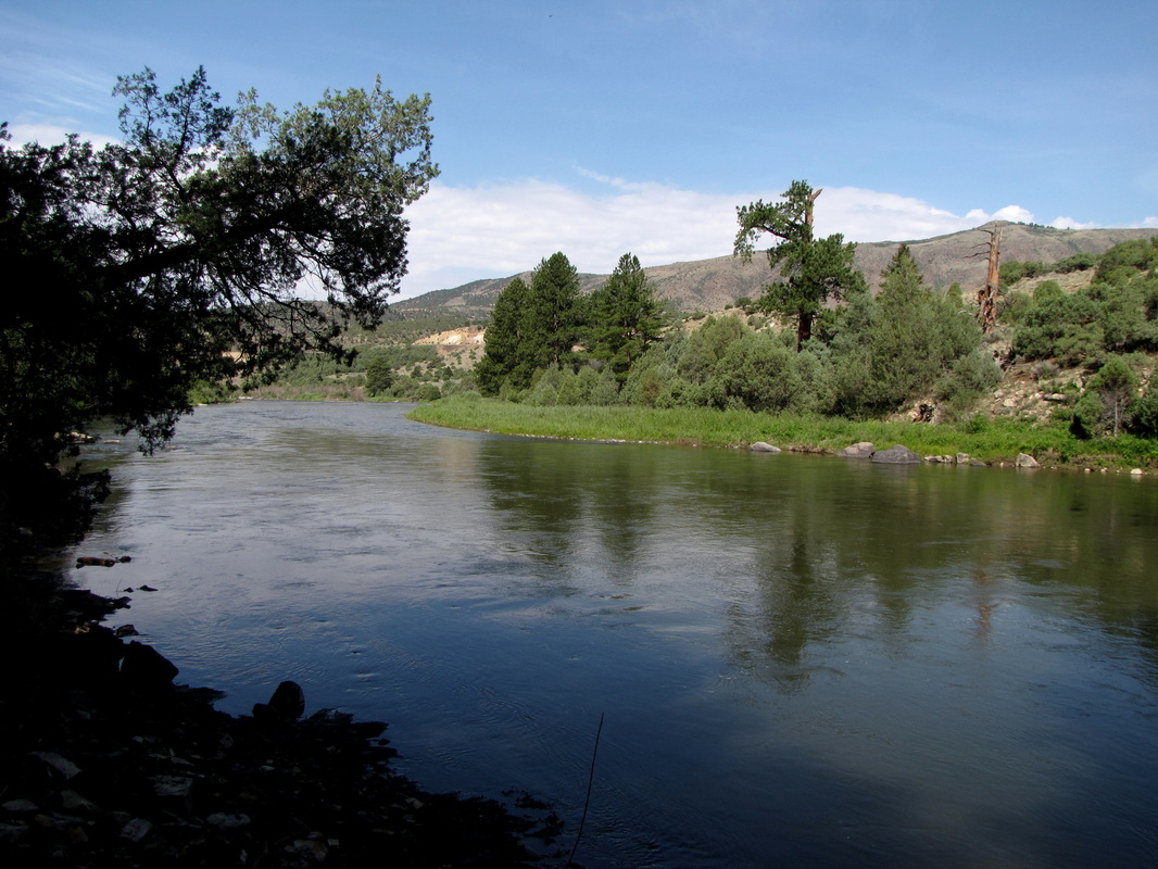
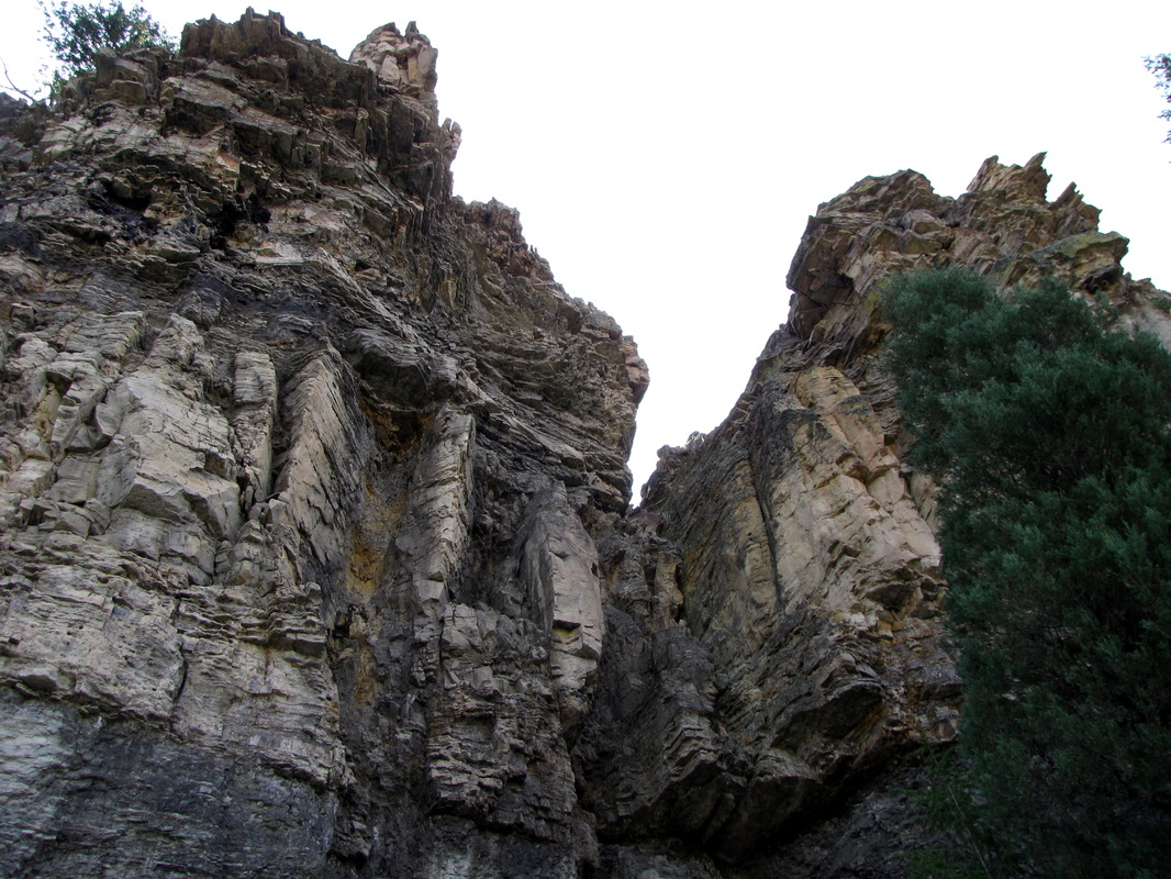
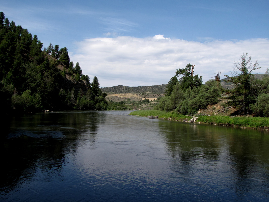
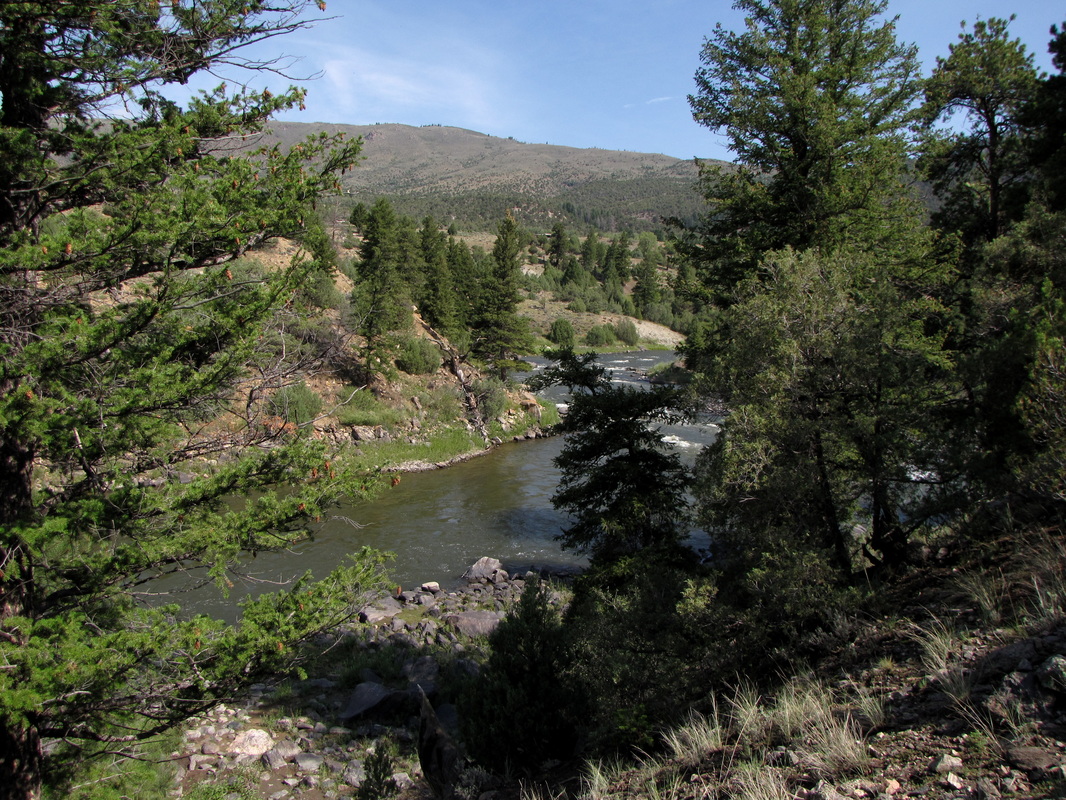
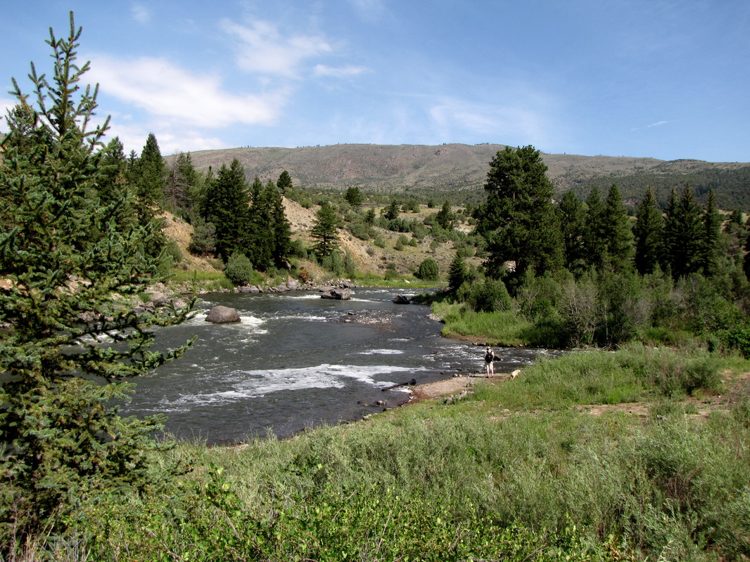
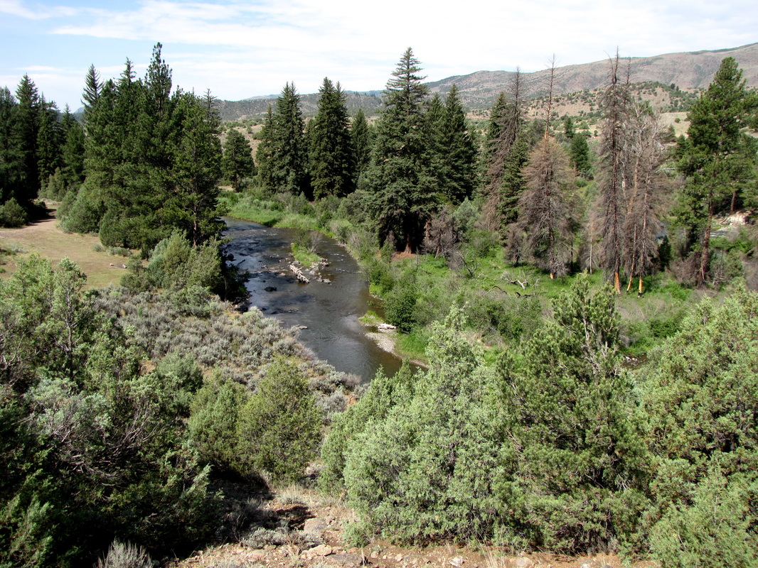
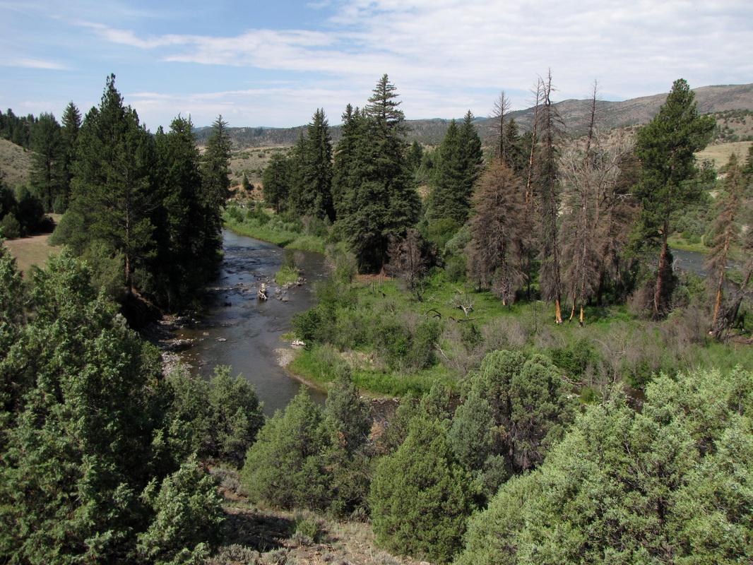
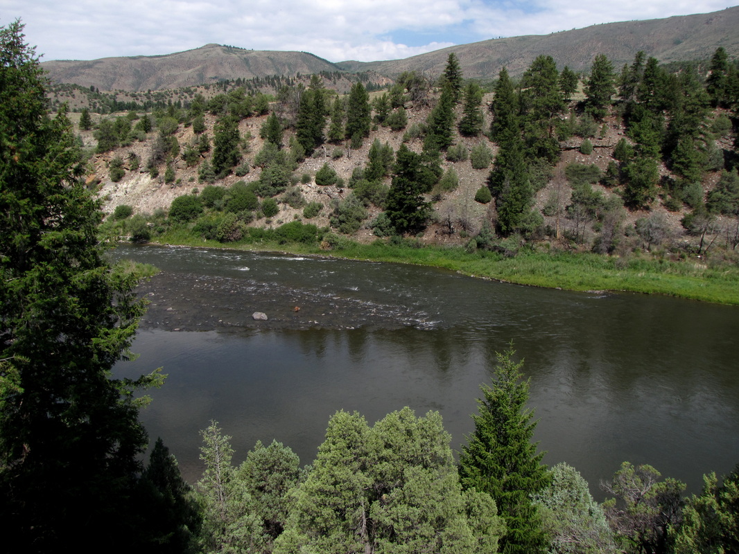
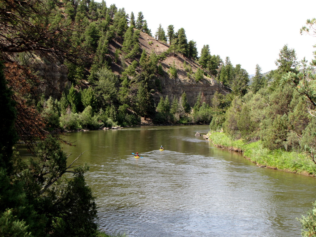
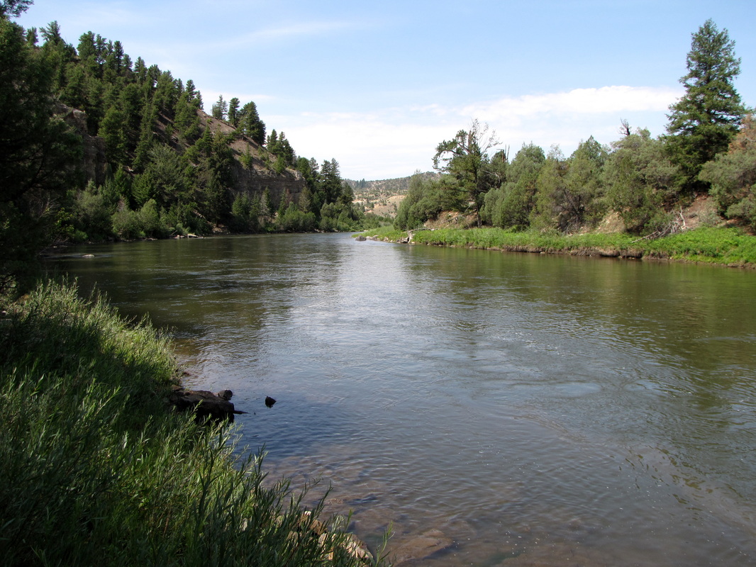
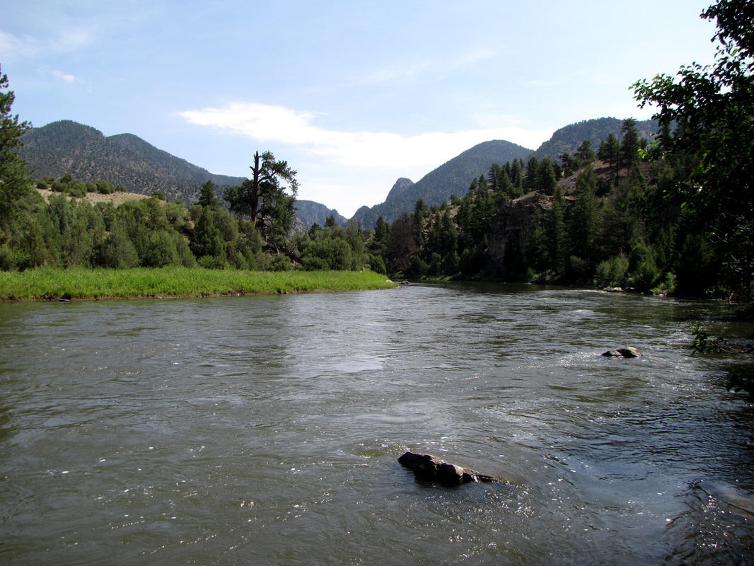
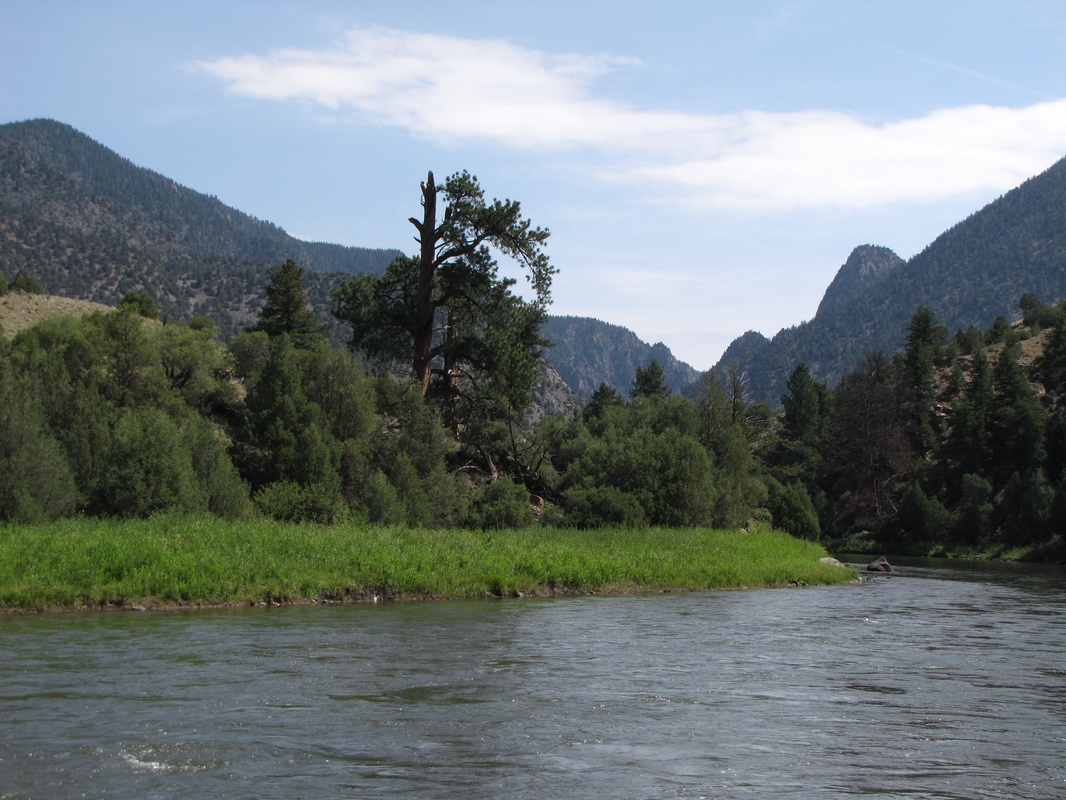
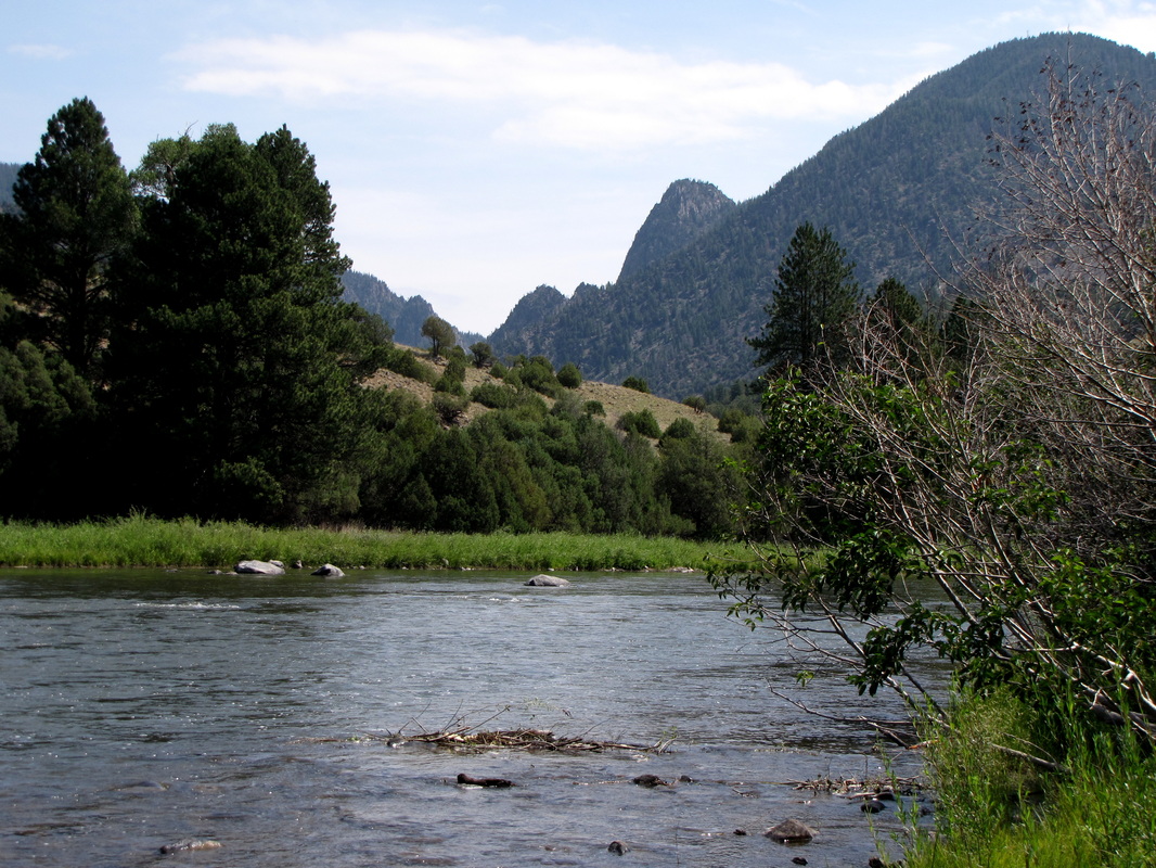
This easy hike takes you along the Colorado River and into Gore Canyon. From Launch Site #1 (The Pumphouse Recreation Area is a popular river rafting put-in), follow the trail along the river bank through wetlands and onto a forested hillside. The trail is mostly flat at the beginning but once you hit a junction with an old service road, the trail gains the ridge. This next part of the hike provides wonderful views down the river. You can follow this trail for as long as you want, until you reach an endpoint 1.5 mi in. The steep canyon walls and rolling river provides a wonderfully peaceful and relaxing hike. |
|
- HOME
- ABOUT
-
HIKES BY REGION
-
NATIONAL PARK HIKES
- BENT'S OLD FORT NATIONAL HISTORIC SITE
- BLACK CANYON OF THE GUNNISON NATIONAL PARK
- COLORADO NATIONAL MONUMENT
- CURECANTI NATIONAL RECREATION AREA
- DINOSAUR NATIONAL MONUMENT
- FLORISSANT FOSSIL BEDS NATIONAL MONUMENT
- MESA VERDE NATIONAL PARK
- ROCKY MOUNTAIN NATIONAL PARK
- GREAT SAND DUNES NATIONAL PARK
- HOVENWEEP NATIONAL MONUMENT
- SAND CREEK MASSACRE NATIONAL HISTORIC SITE
- YUCCA HOUSE NATIONAL MONUMENT
- HIKES BY CATEGORY
- NEWS
- WEBCAMS
- $UPPORT GHC
- INTERACTIVE MAP
Gore Canyon Trail
Pumphouse Recreation Area (BLM)
Date Hiked: July 15, 2013
Distance: 3 mi (RT)