
|
|
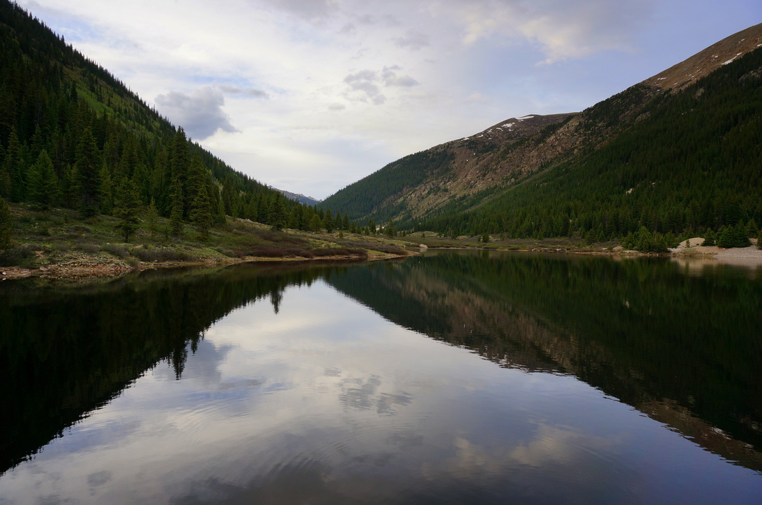
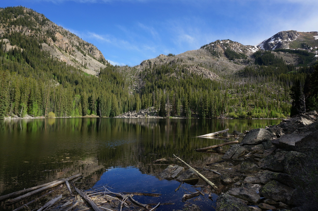
Holy Cross Wilderness
|
|
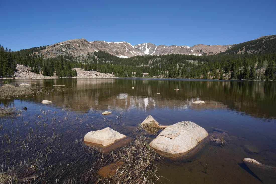
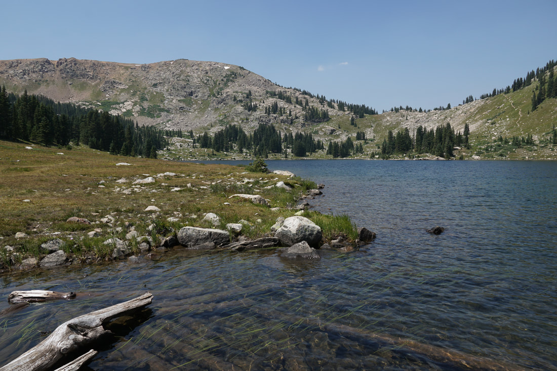
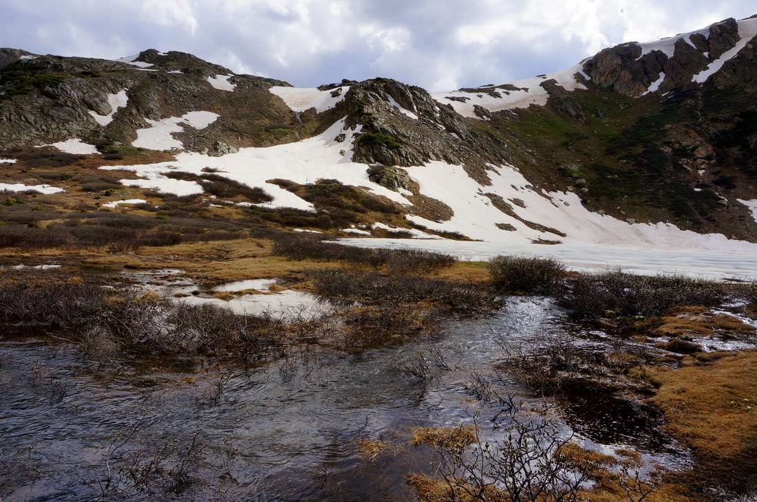
Bear & Galena Lakes
7 mi (RT); 1,700 ft elevation gain |
Cross Creek Trail to Surprise Lake
5.2 mi (RT); 625 ft elevation gain |
Eagle Lake
6 mi (RT); 800 ft elevation gain |
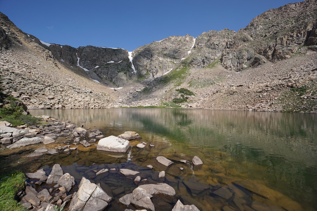
Fancy Lake
5.2 mi (RT); 1,548 ft elevation gain |
Lyle Lake
3 mi (RT); 1,000 ft elevation gain |
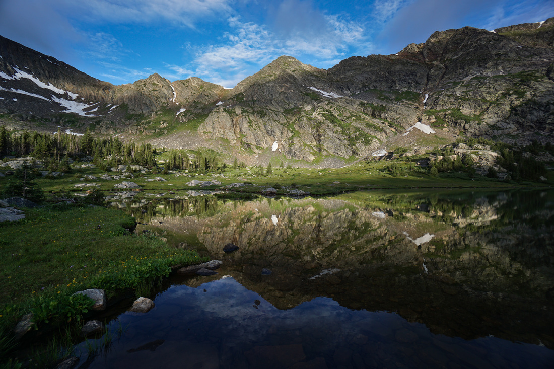
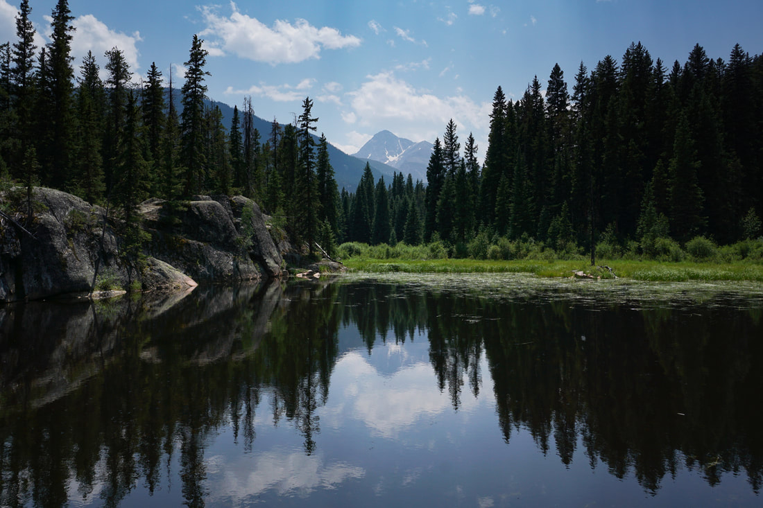
Missouri Lakes
7 mi (RT); 2,128 ft elevation gain |
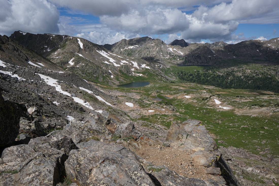
Missouri Pass > Fancy Pass Loop
9 mi (RT); 4,160 ft elevation gain |
Saint Kevin's Lake
3 mi (RT); 697 ft elevation gain |
|
|
San Isabel National Forest |
|
Chalk Creek Grade Historic Trail
2 mi (RT); 300 ft elevation gain |
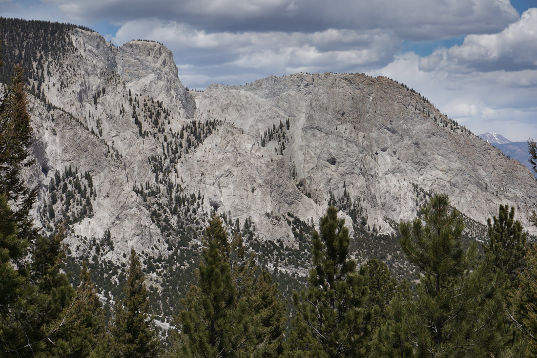
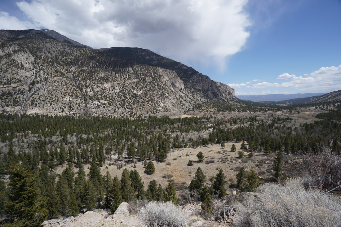
Chalk Cliffs View
Colorado Trail Segment 14 3 mi (RT); 1,025 ft elevation gain |
Cottonwood Pass North
Collegiate Peaks Wilderness 1.5 mi (RT); 470 ft elevation gain |
Interlaken Trail
Colorado Trail Segment 11 5.6 mi (RT); 160 ft elevation gain |
Windsor Lake
Mt. Massive Wilderness 5 mi (RT); 1,000 ft elevation gain |
|
|
White River National Forest |
|
Discovery & Braille Trails
White River National Forest .4 mi (RT); minimal elevation gain |
The Grottos Day Use Area
White River National Forest 1 mi (RT); minimal elevation gain |
Independence Pass Overlook Trail
White River National Forest .4 mi (RT); minimal elevation gain |
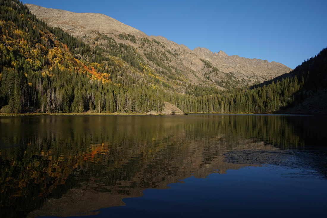
Linkins Lake
Hunter-Fryingpan Wilderness White River National Forest 1.2 mi (RT); 600 ft elevation gain |
Lost Man Reservoir
White River National Forest 1 mi (RT); 130 ft elevation gain |
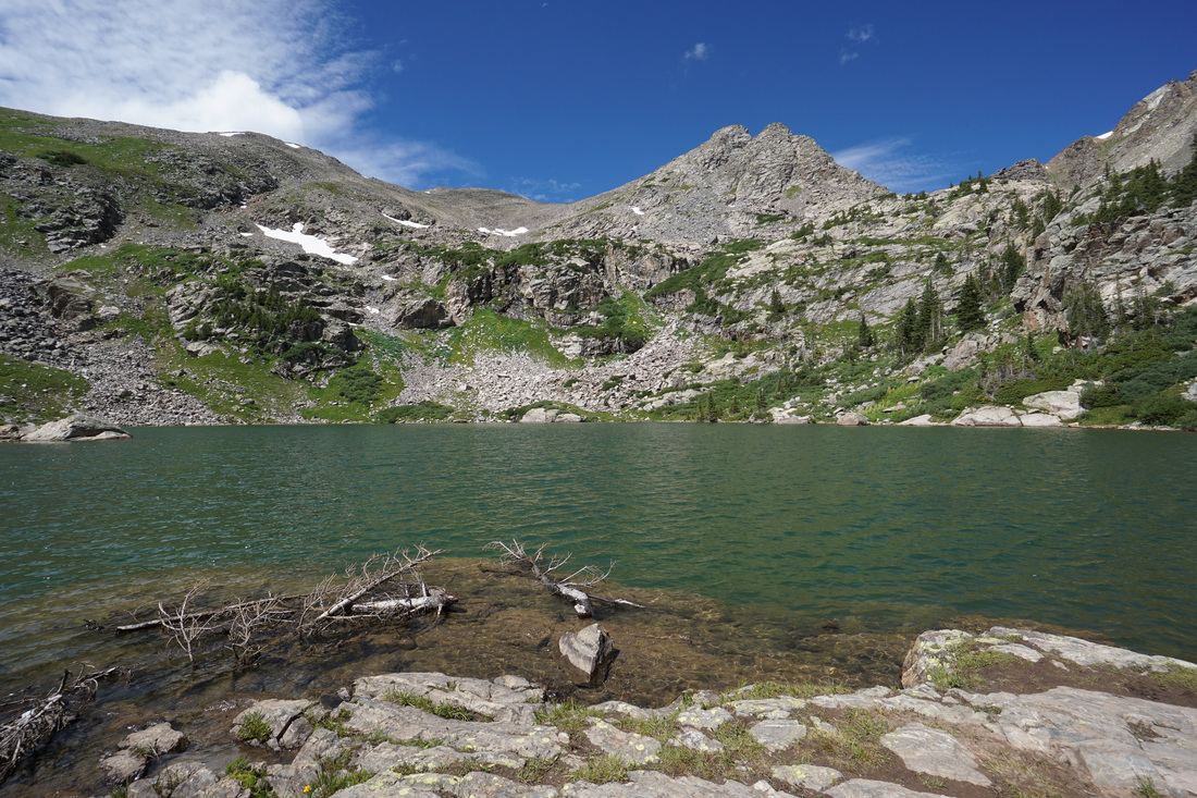
Weller Lake
Collegiate Peaks Wilderness White River National Forest 1.2 mi (RT); 300 ft elevation gain |
Sylvan Lake State Park
Sneve Gulch Trail
Sylvan Lake State Park & White River National Forest 4.6 mi (RT); 1,700 ft elevation gain |

Sylvan Lake Trail
Sylvan Lake State Park 1.5 mi (RT); minimal elevation gain |
