|
Directions: Windsor Lake is located just west of Turquoise Lake, which is west of Leadville in the Mount Massive Wilderness Area. From Leadville, head W on Turquoise Lake Road (4) following the signs to Turquoise Lake. Follow the road along the south shore of the lake until the fork in the road, bear left, staying on 4 which is now Hagerman Lake Road. When the road makes a abrupt bend, you'll see a large dirt parking area and the Windsor Lake Trailhead.
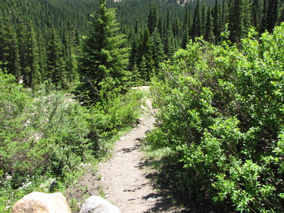
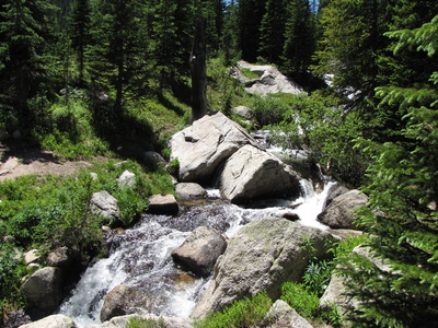
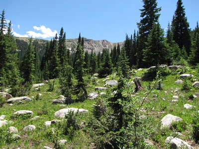
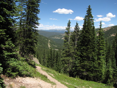
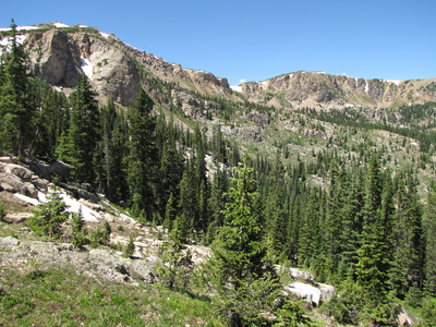
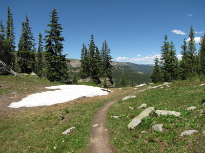
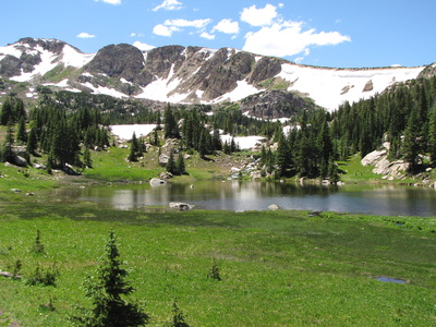
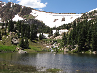
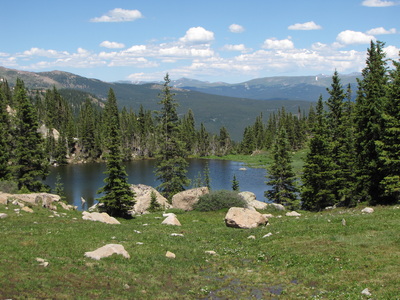
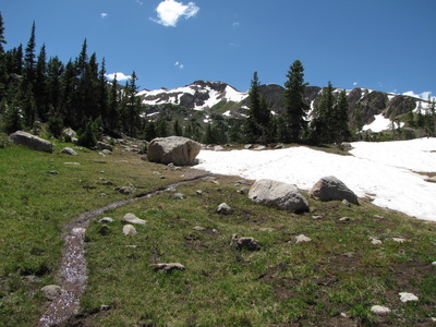
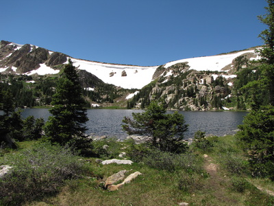
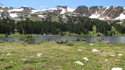
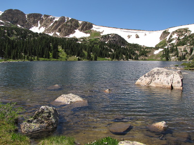
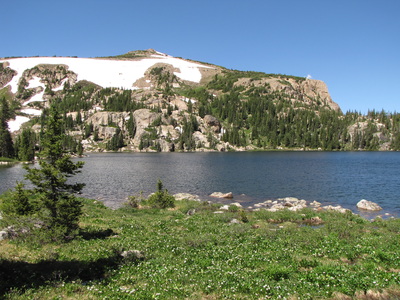
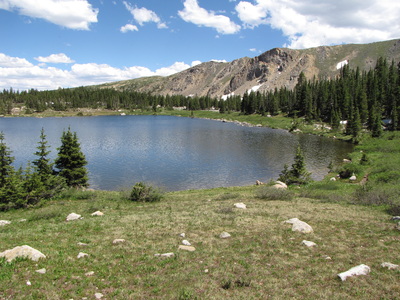
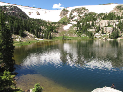
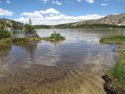
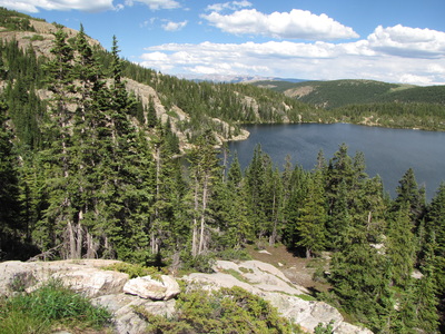
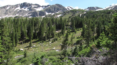
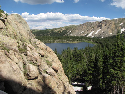
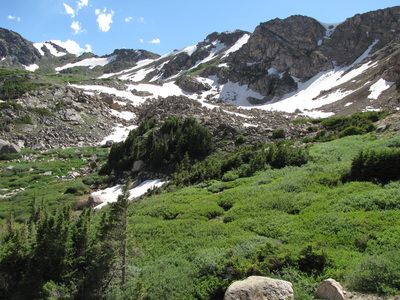
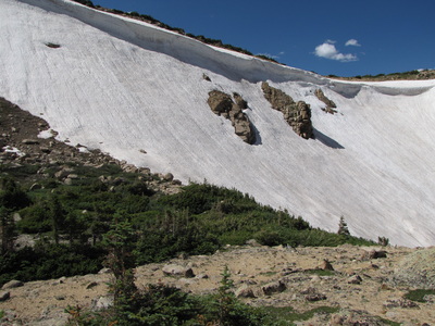
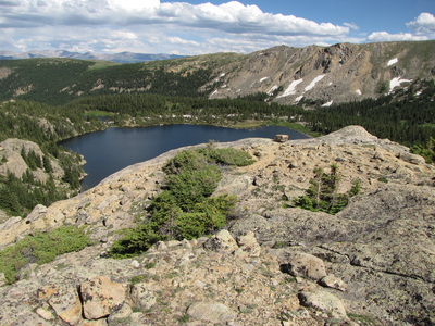
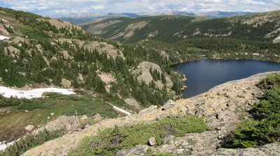
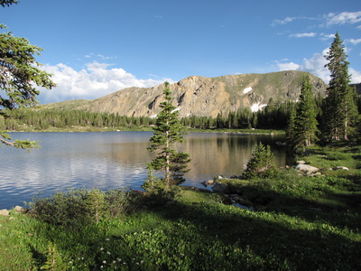
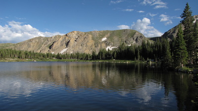
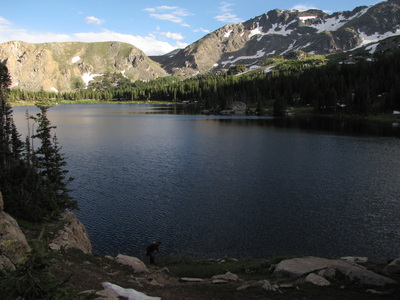
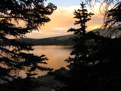
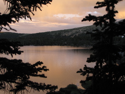
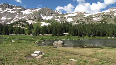
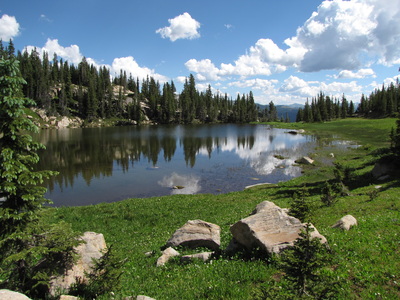
The hike up to Windsor Lake is short at 1.6 miles each way, with added mileage if you traverse the shore and explore the bowl area. The trail is steep in spots but overall not very complicated. You'll ascend through evergreen forest, pop out at a meadow overlooking a smaller lake just before Windsor Lake, re-enter the trees, and finally emerge at Windsor Lake. This is a popular lake for fishing or for an easy overnight backpacking trip. While it can be a nice day hike, the easy access really beckons for an overnight visit. Camp on the far shore of the lake and you can explore the alpine bowl that the lake sits in. The lake and the setting is absolutely stunning. There are endless possibilities for larger hikes from here, but the lake itself is a worthy destination and a great place to pitch a tent. |
- HOME
- ABOUT
-
HIKES BY REGION
-
NATIONAL PARK HIKES
- BENT'S OLD FORT NATIONAL HISTORIC SITE
- BLACK CANYON OF THE GUNNISON NATIONAL PARK
- COLORADO NATIONAL MONUMENT
- CURECANTI NATIONAL RECREATION AREA
- DINOSAUR NATIONAL MONUMENT
- FLORISSANT FOSSIL BEDS NATIONAL MONUMENT
- MESA VERDE NATIONAL PARK
- ROCKY MOUNTAIN NATIONAL PARK
- GREAT SAND DUNES NATIONAL PARK
- HOVENWEEP NATIONAL MONUMENT
- SAND CREEK MASSACRE NATIONAL HISTORIC SITE
- YUCCA HOUSE NATIONAL MONUMENT
- HIKES BY CATEGORY
- NEWS
- WEBCAMS
- $UPPORT GHC
- INTERACTIVE MAP
Windsor Lake
Mt. Massive Wilderness
San Isabel National Forest
Date Hiked: July 2011
Distance: 5 mi (RT)
Elevation Gain: 1,000ft
Elevation Max: 10,800ft
Managing Agency: U.S. Forest Service
Fee: None

