
|
|
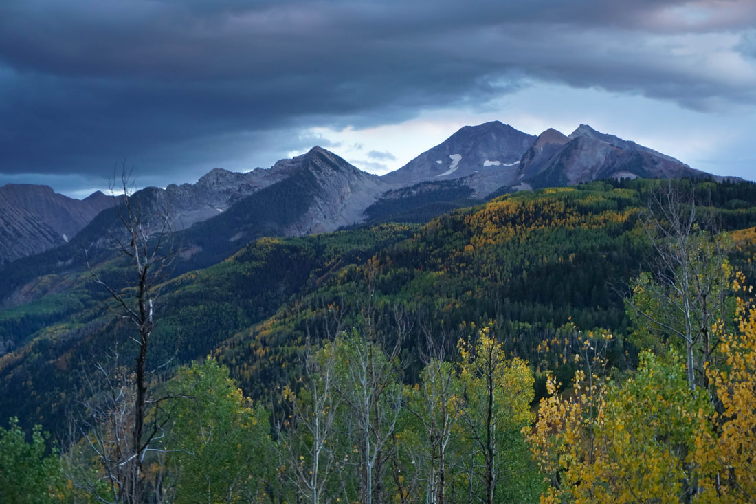
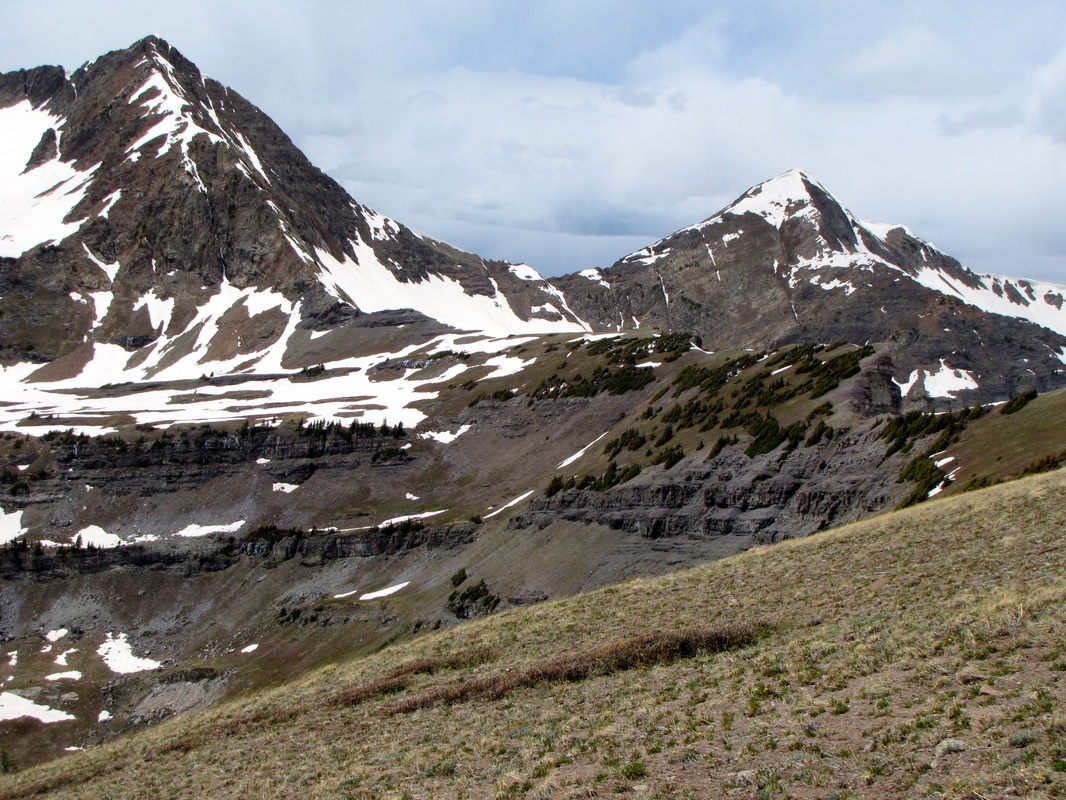
Elk Mountains |
|
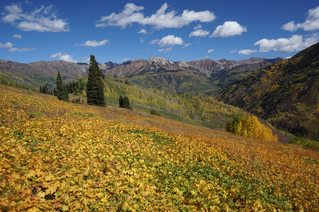
Anthracite Pass
Raggeds Wilderness White River National Forest 7.5 mi (RT); 2,400 ft elevation gain |
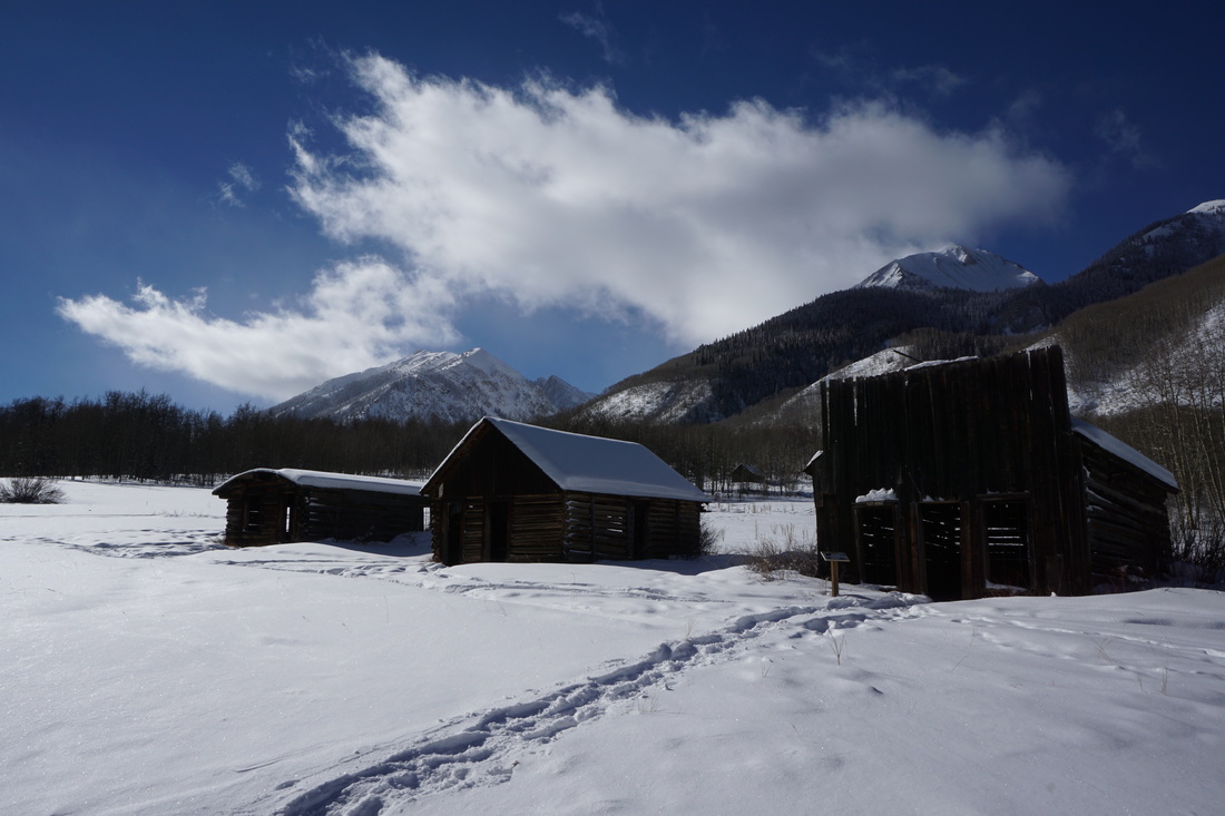
Ashcroft Ghost Town
White River National Forest .25 mi (RT) or longer; 200 ft elevation gain |
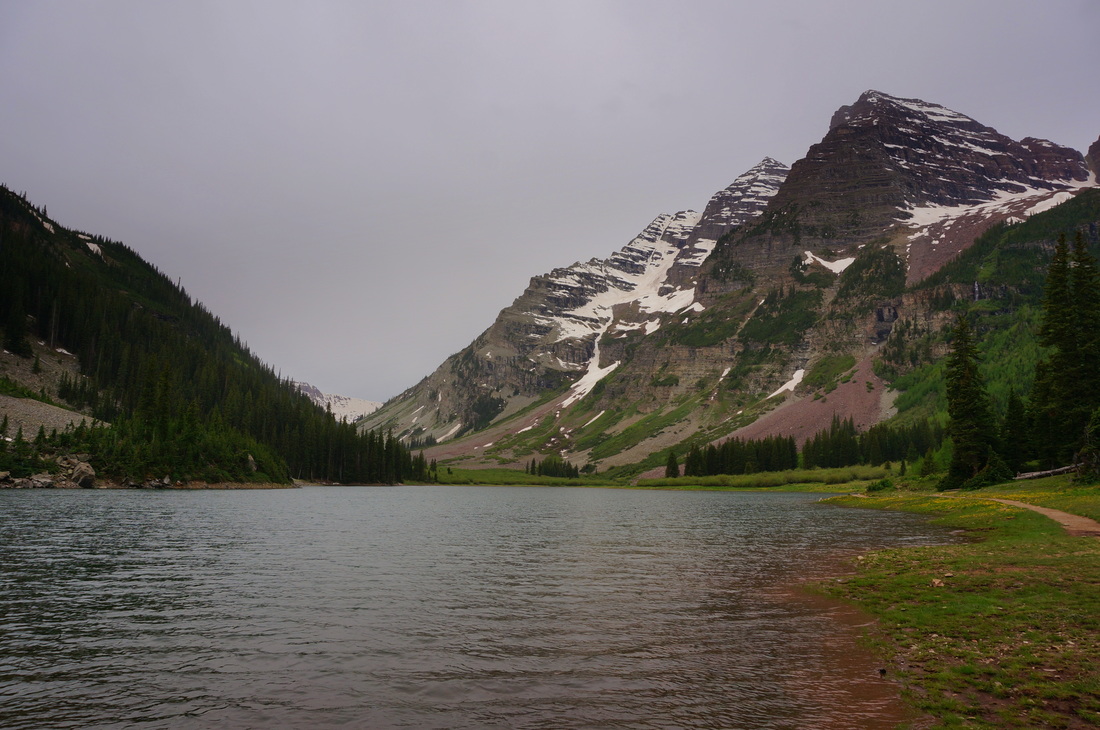
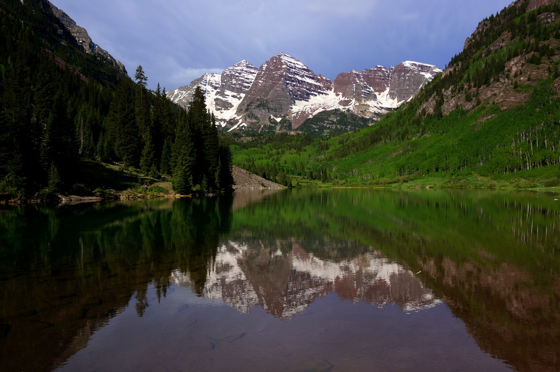
Crater Lake
Maroon Bells-Snowmass Wilderness White River National Forest 3.8 mi (RT); 900 ft elevation gain |
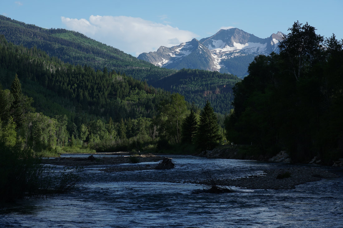
Crystal River / Redstone Campground
White River National Forest .75 mi (RT); minimal elevation gain |
Huntsman Ridge Trail
White River National Forest 2.4 mi (RT); 765 ft elevation gain |
Upper Maroon Lake Scenic Trail
Maroon Bells-Snowmass Wilderness White River National Forest 2 mi (RT); 300 ft elevation gain |
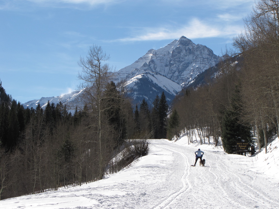
Maroon Creek Road (Winter)
White River National Forest 10 mi (RT); 1,000 ft elevation gain |
Rio Grande Trail
Herron Park to Hunter Creek Trailhead 1.2 mi (one way); 200 ft elevation gain |
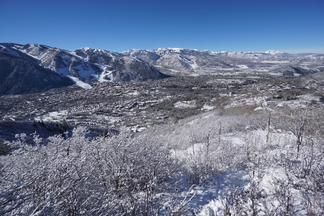
Smuggler Mountain Overlook
Smuggler Mountain Open Space 2.9 mi (RT); 887 ft elevation gain) |
|
|
West Elk Mountains |
|
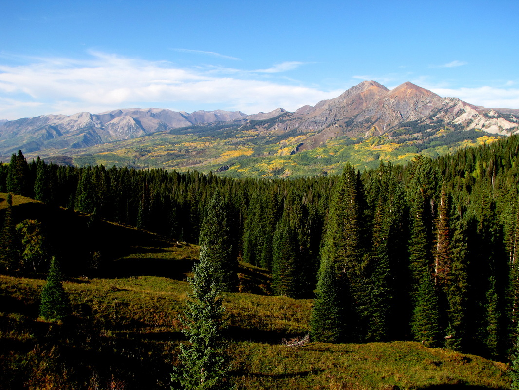
Beckwith Pass from Lost Lake
Gunnison National Forest 6 mi (RT); 500 ft elevation gain |
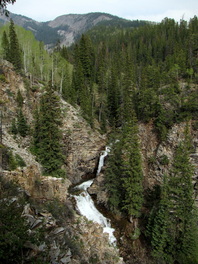
Judd Falls
Gunnison National Forest 2.3 mi (RT); 300 ft elevation gain |
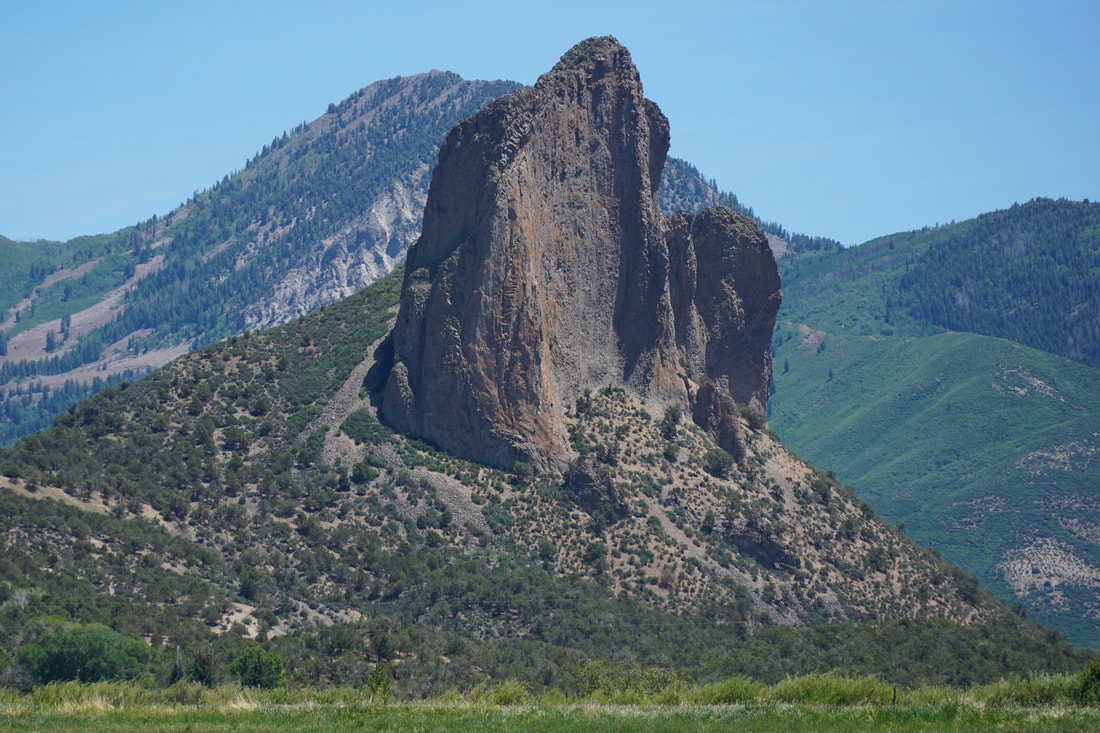
Needle Rock Natural Area
BLM Public Lands 1 mi (RT); 450 ft elevation gain |
Scarp Ridge
Gunnison National Forest 3.5 mi (RT); 1,350 ft elevation gain |
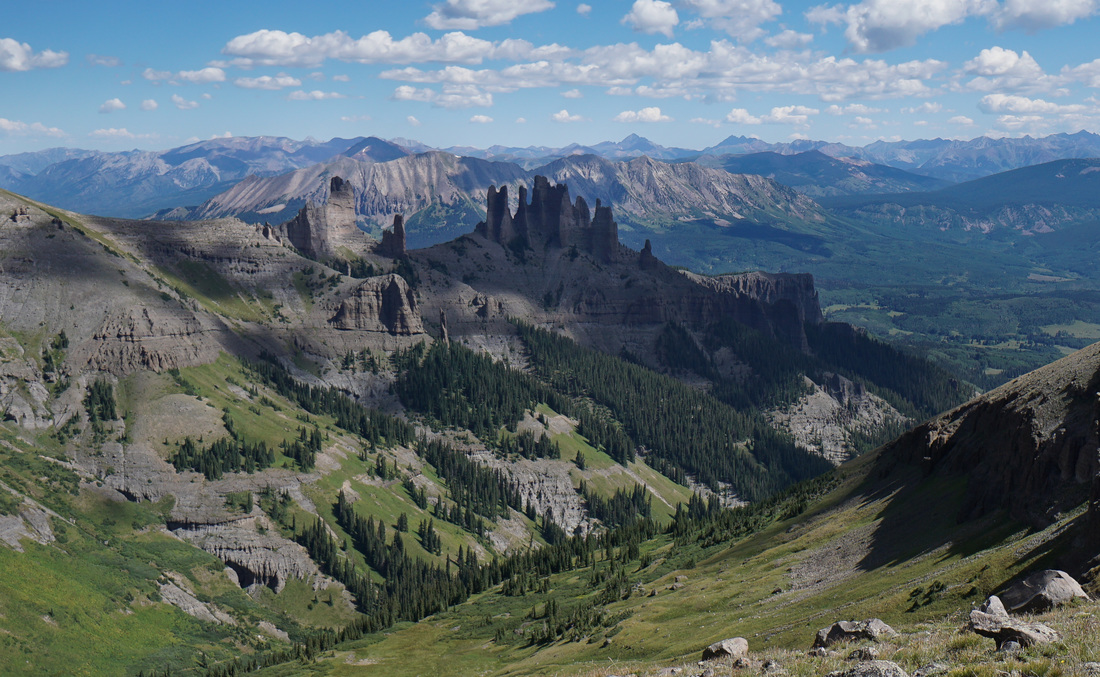
Storm Pass (The Castles Overlook) via Mill-Castle Trail
West Elk Wilderness, Gunnison National Forest 15.5 (RT); 4,878 ft elevation gain |
