|
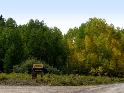
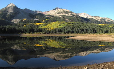
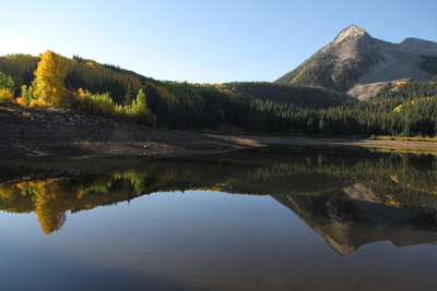
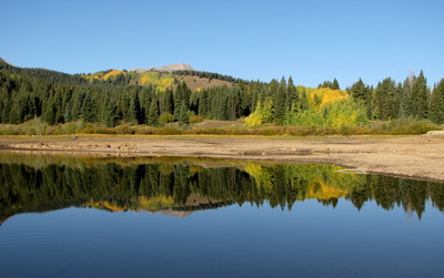
Directions: This hike starts from the Lost Lake Campground off of Kebler Pass Road just west of Crested Butte. From town, take Kebler Pass Road (closed in winter) west until you see the signs for Lost Lake Campground. Turn left and follow the road until it ends at Lost Lake. There are maps and signs at the campground pointing to the trailhead. Before going to the trailhead, take a few minutes to gaze at Lost Lake, it is beautiful.
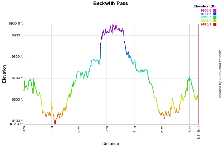
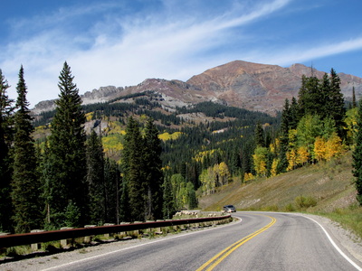
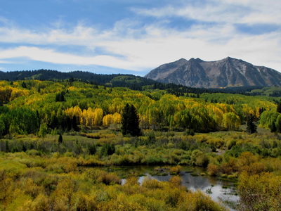
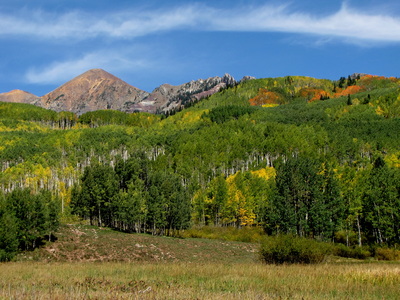
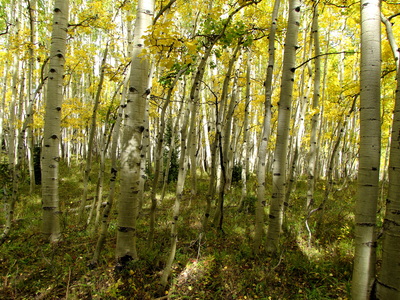
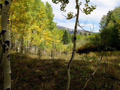
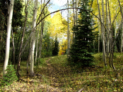
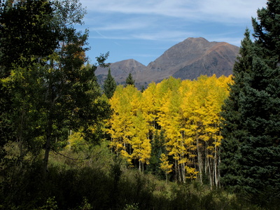
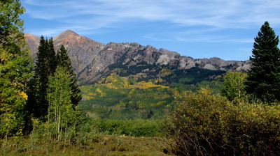
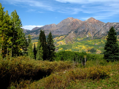
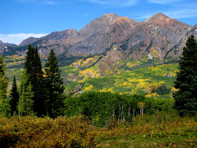
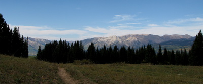
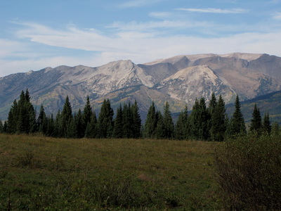
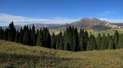
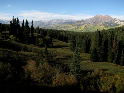
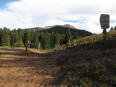
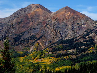
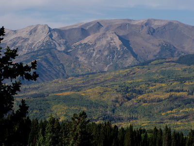
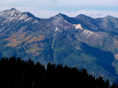
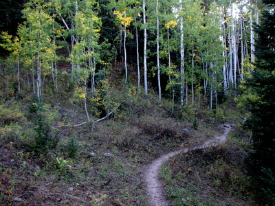
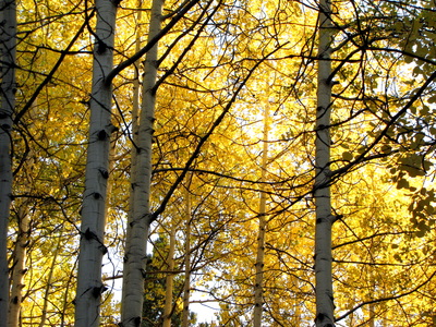
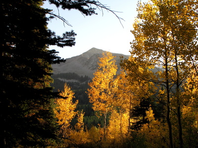
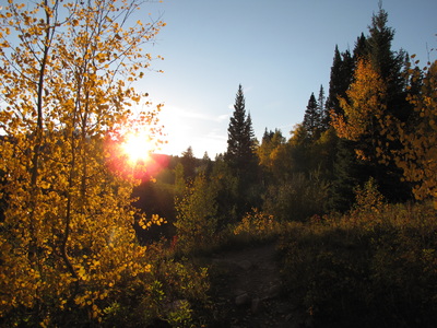
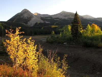
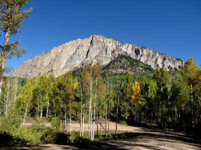
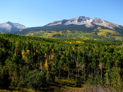
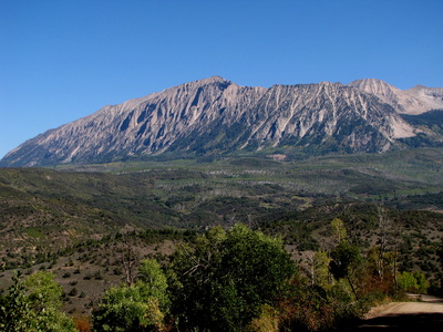
This trail, in the fall, is an other-worldly and amazing hike. This part of Colorado has one of the largest contiguous Aspen Groves in the world, surely worthy of being a National Park (but it's not). In the fall, this is an incredible experience and just driving along Kebler Pass road is a rare treat. This hike, meanders through Aspen forest before, gaining some altitude and heading up to Kebler Pass. The hike up to the pass is straightforward and well signed. Once at the pass, where there is a gate leading to the West Elk Wilderness Area, you are rewarded with awesome views of Ruby Peak and Mount Owen. Looking down at the fall colors against the red backdrop of Ruby Peak, are breathtaking. The pictures in the gallery, while touched up a little, are accurate as to the color scheme. Amazing. |
- HOME
- ABOUT
-
HIKES BY REGION
-
NATIONAL PARK HIKES
- BENT'S OLD FORT NATIONAL HISTORIC SITE
- BLACK CANYON OF THE GUNNISON NATIONAL PARK
- COLORADO NATIONAL MONUMENT
- CURECANTI NATIONAL RECREATION AREA
- DINOSAUR NATIONAL MONUMENT
- FLORISSANT FOSSIL BEDS NATIONAL MONUMENT
- MESA VERDE NATIONAL PARK
- ROCKY MOUNTAIN NATIONAL PARK
- GREAT SAND DUNES NATIONAL PARK
- HOVENWEEP NATIONAL MONUMENT
- SAND CREEK MASSACRE NATIONAL HISTORIC SITE
- YUCCA HOUSE NATIONAL MONUMENT
- HIKES BY CATEGORY
- NEWS
- WEBCAMS
- $UPPORT GHC
- INTERACTIVE MAP
Beckwith Pass from Lost Lake
Gunnison National Forest
Date Hiked: September 15, 2012
Distance: 6 mi (RT)
Elevation Gain: 500 ft
Elevation Min/Max: 9,502 to 9,956ft
Trailhead Lat/Long: 38.869992º N; 107.204430º W
Managing Agency: U.S. Forest Service
Fee: None

