|
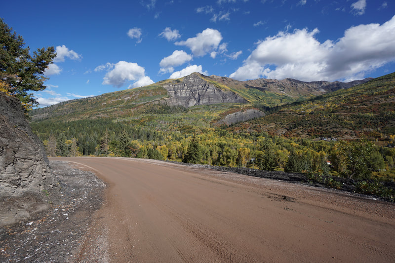
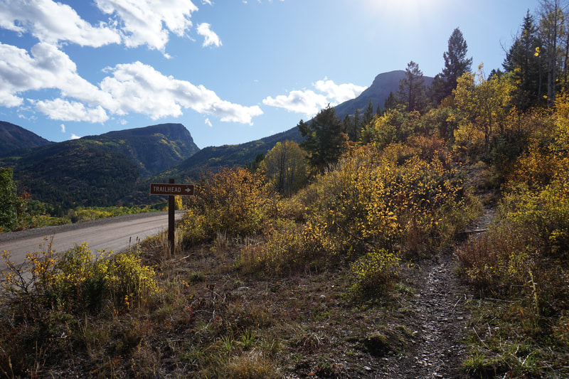
DIRECTIONS: From Hwy 133 in Redstone (south of Carbondale), drive south on 133 to the base of McClure Pass. Turn east onto County Road 3 towards Marble. As you enter the town, CR3 becomes Park Street. Turn right onto 3rd Street and drive through the seasonal gate. The trail is located a few minutes drive along a good dirt road. The trailhead is easily missed, look for the small brown "Trailhead" sign.
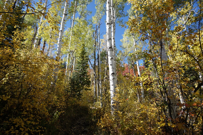
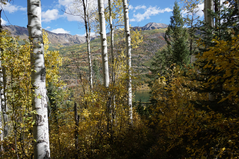
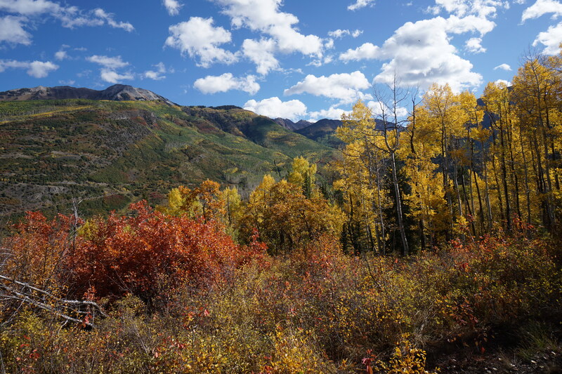
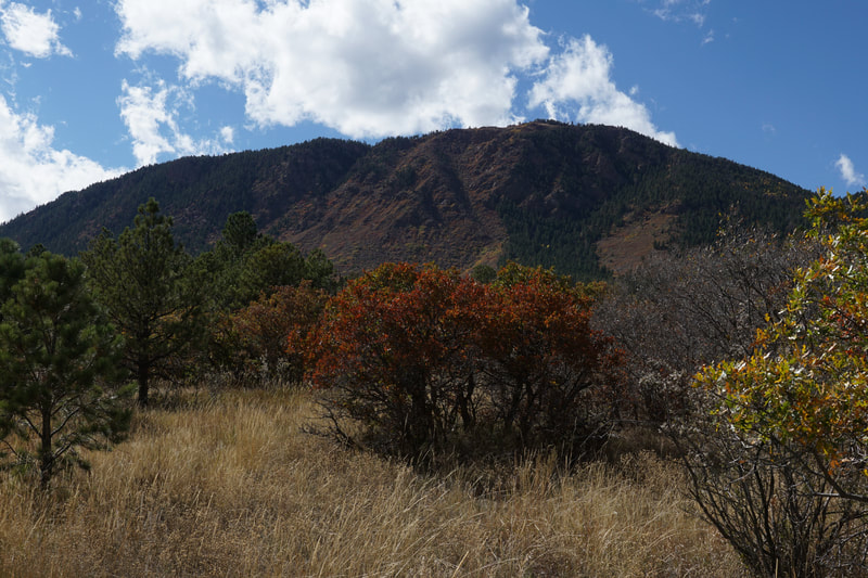
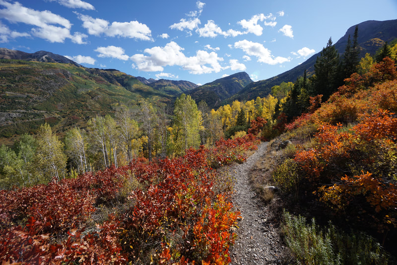
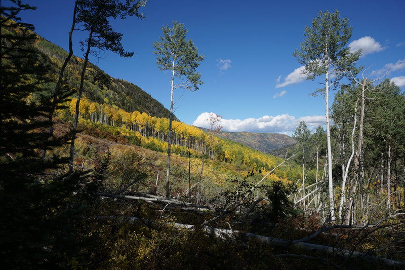
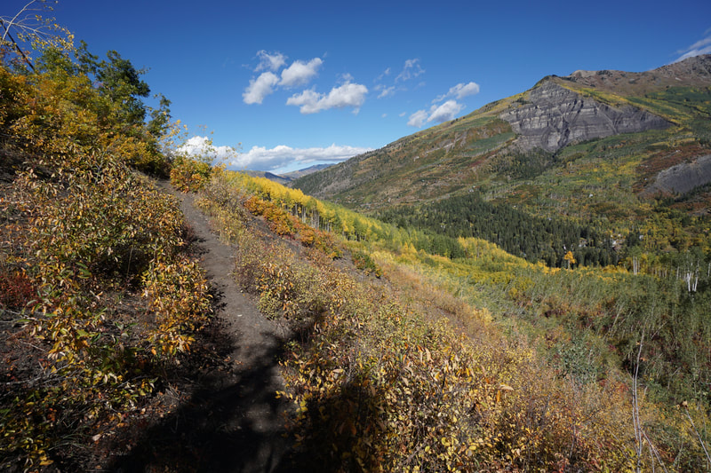
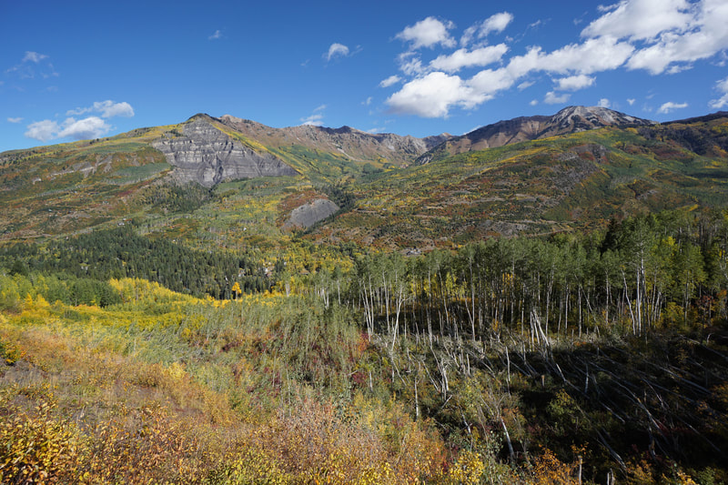
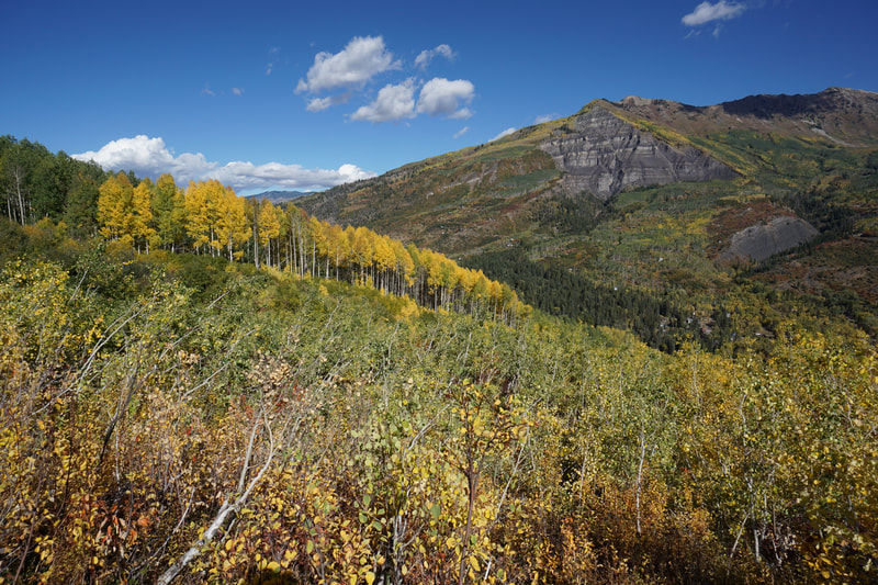
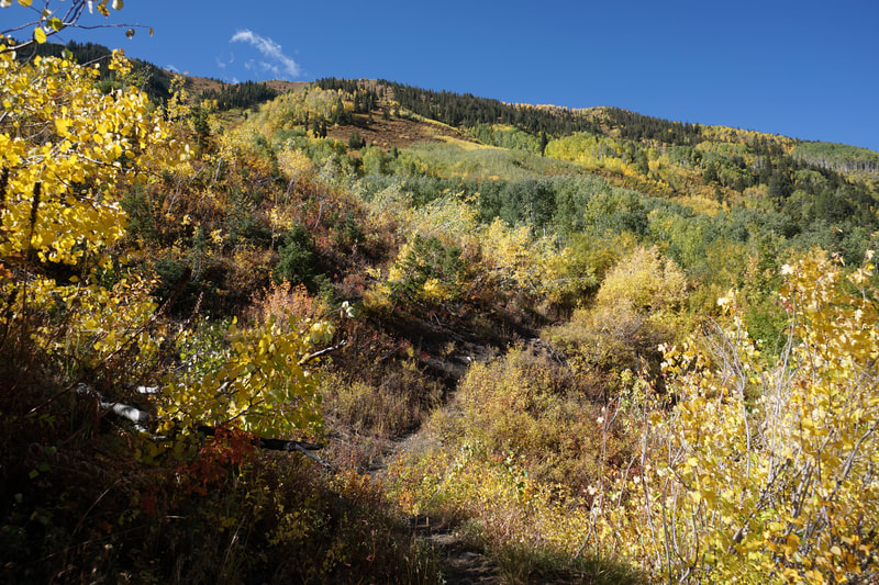
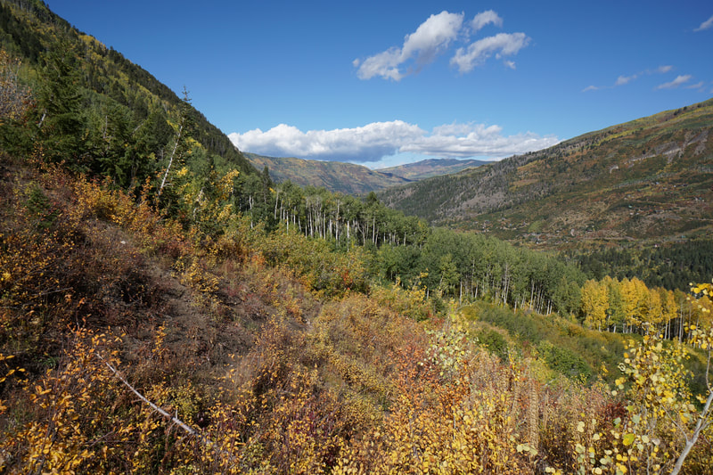
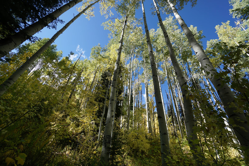
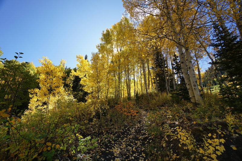
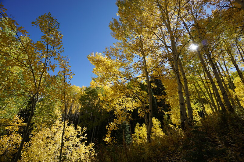
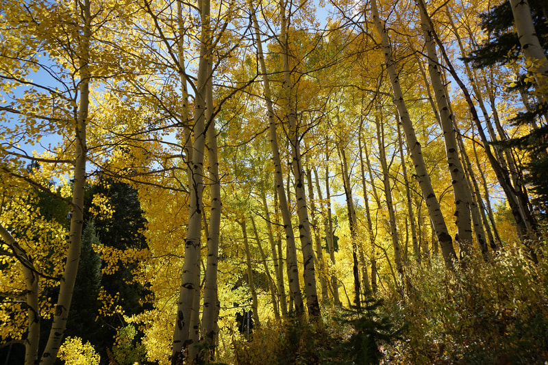
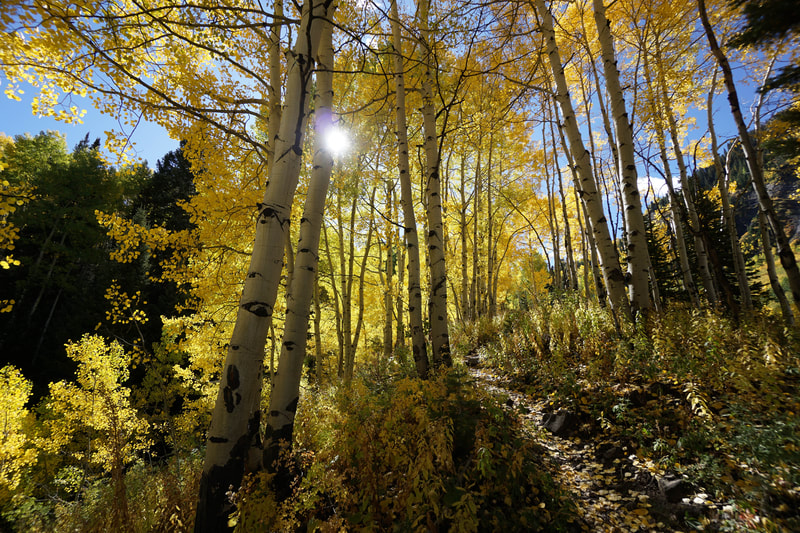
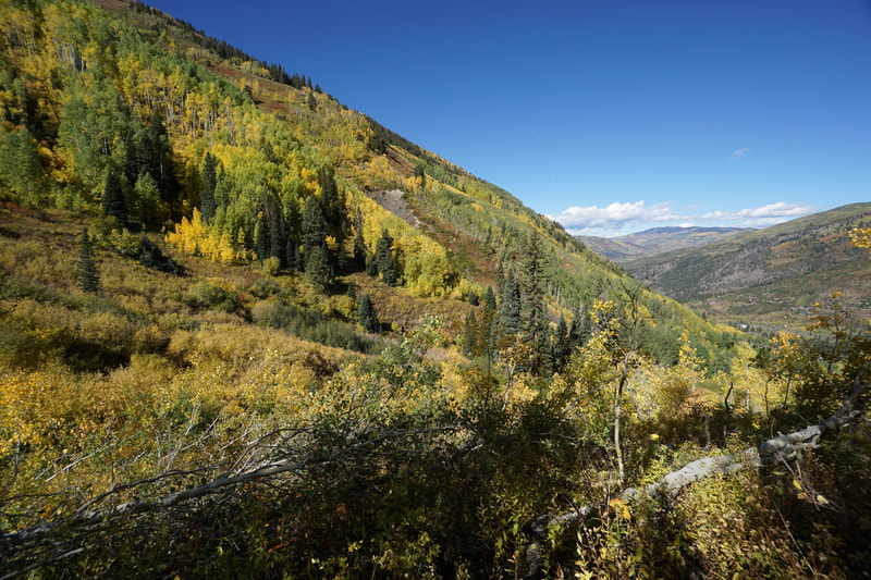
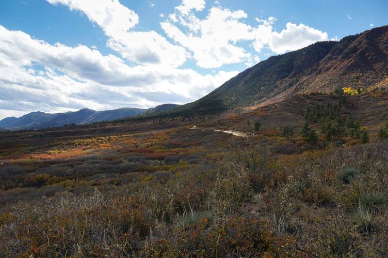
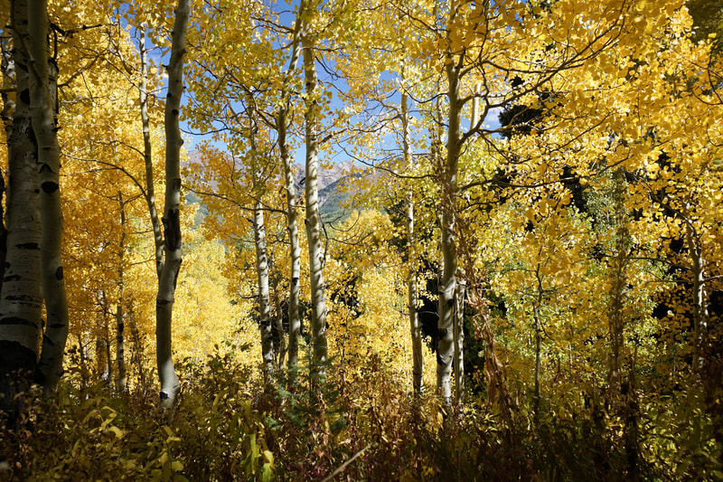
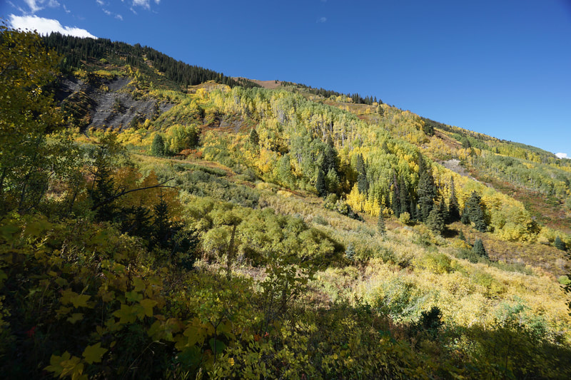
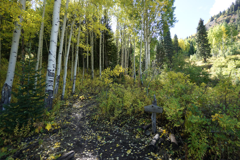
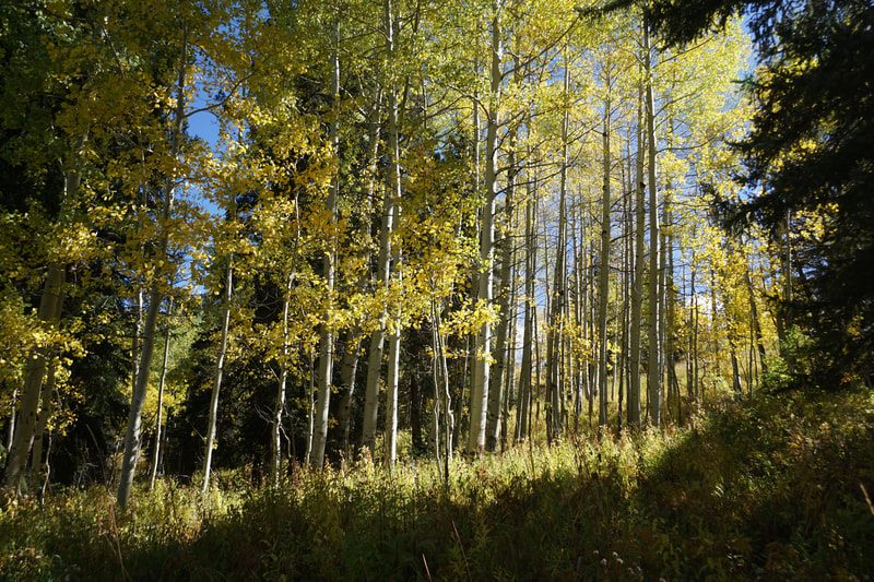
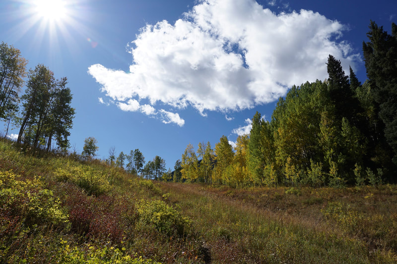
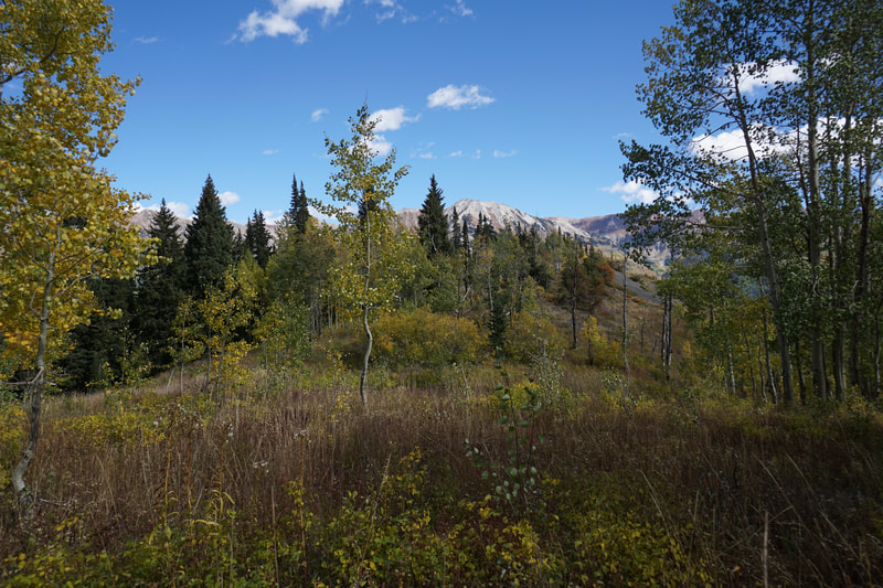
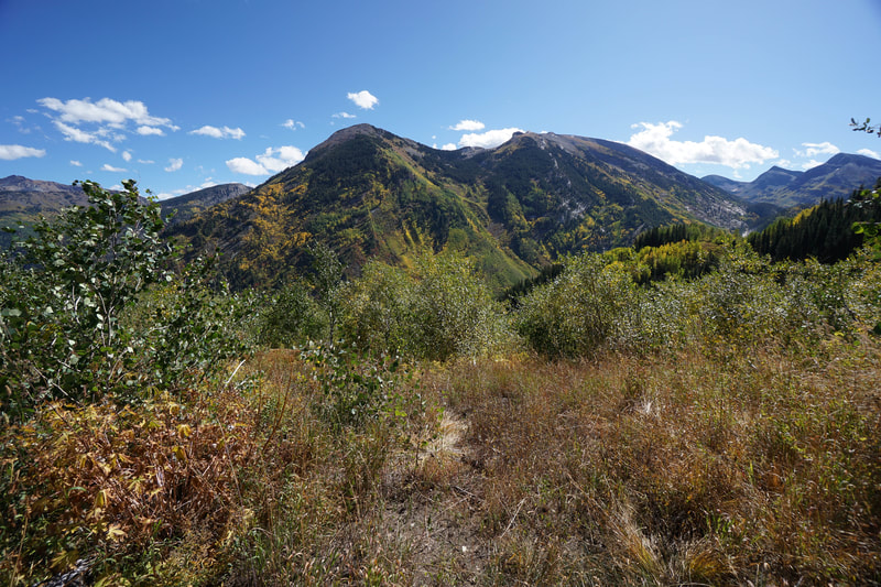
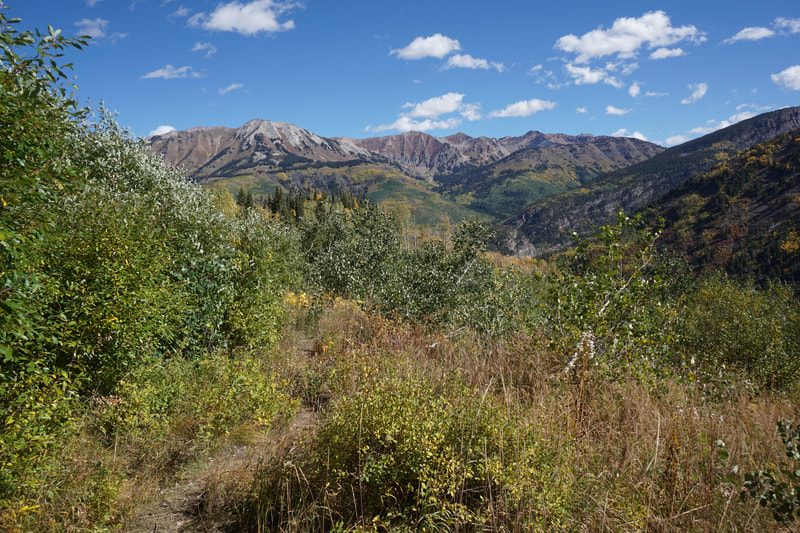
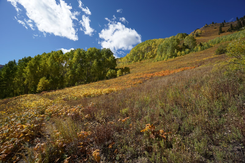
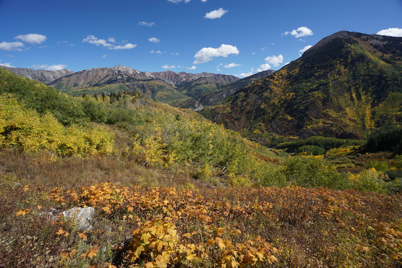
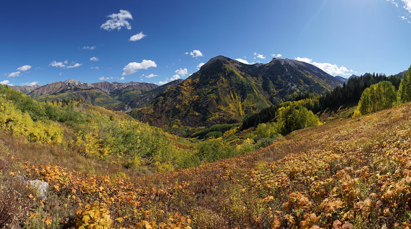
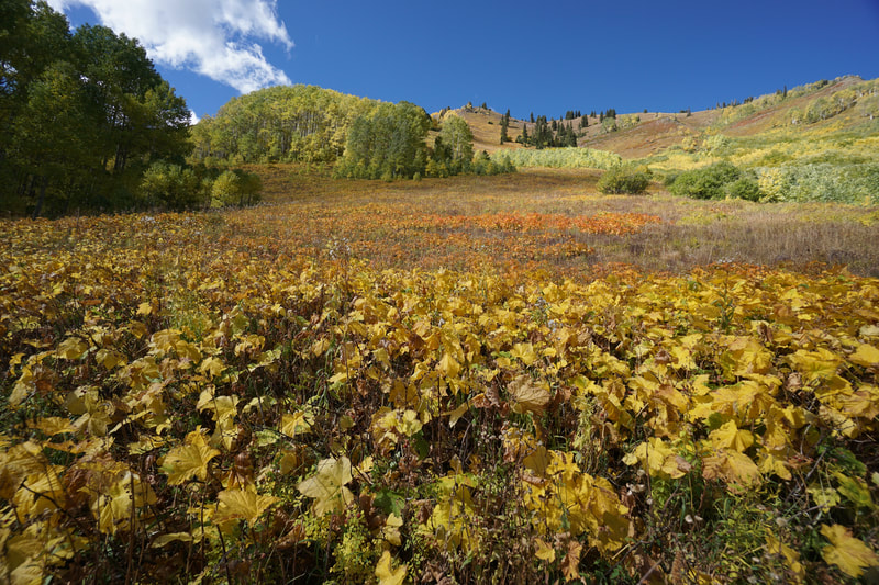
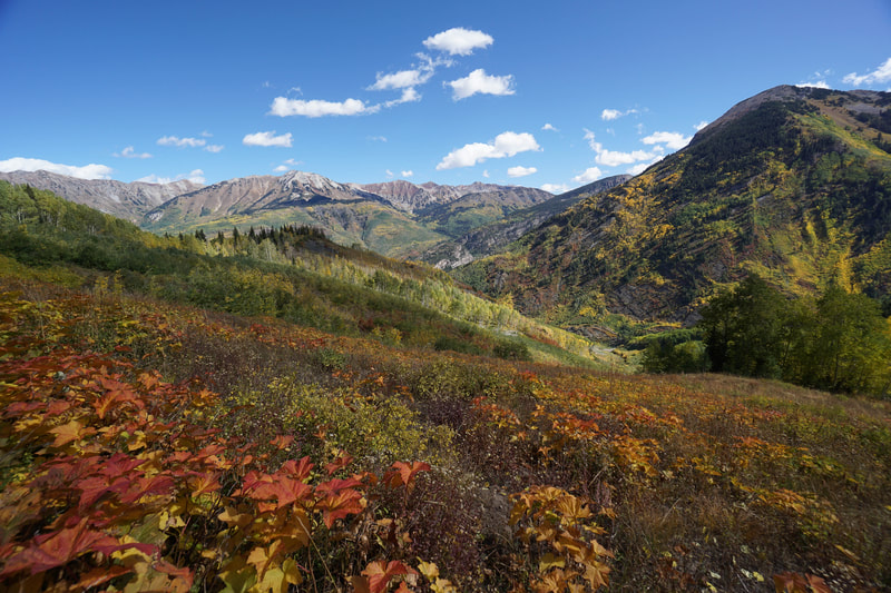
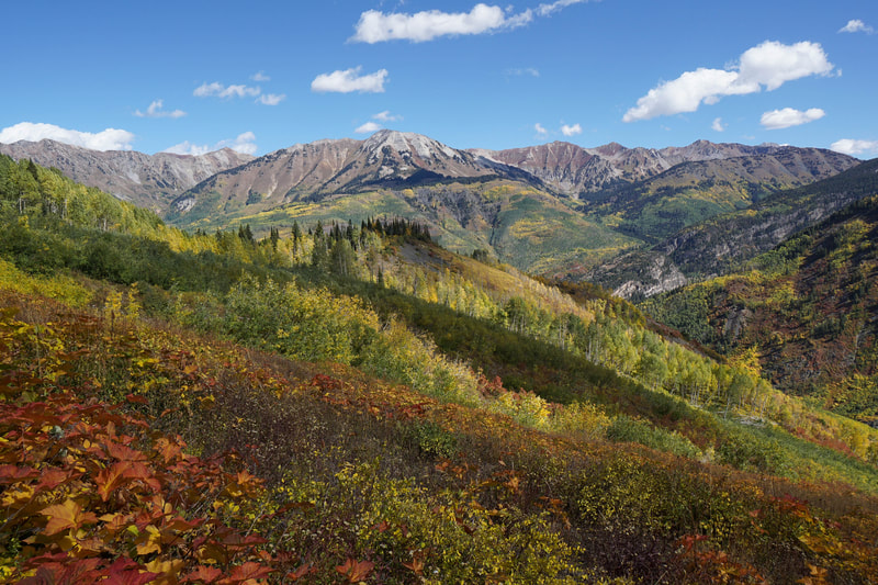
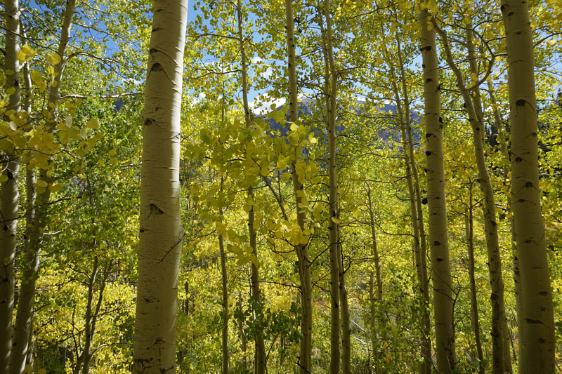
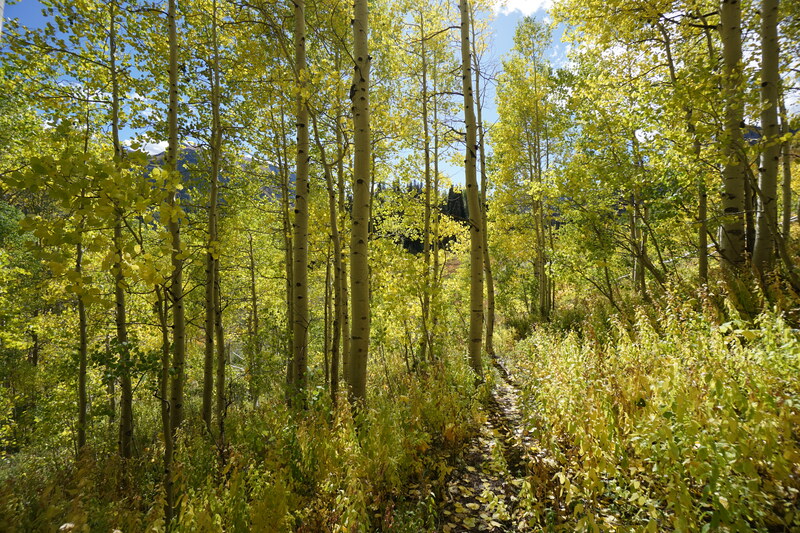
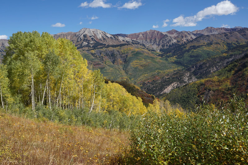
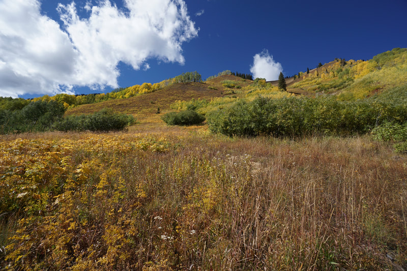
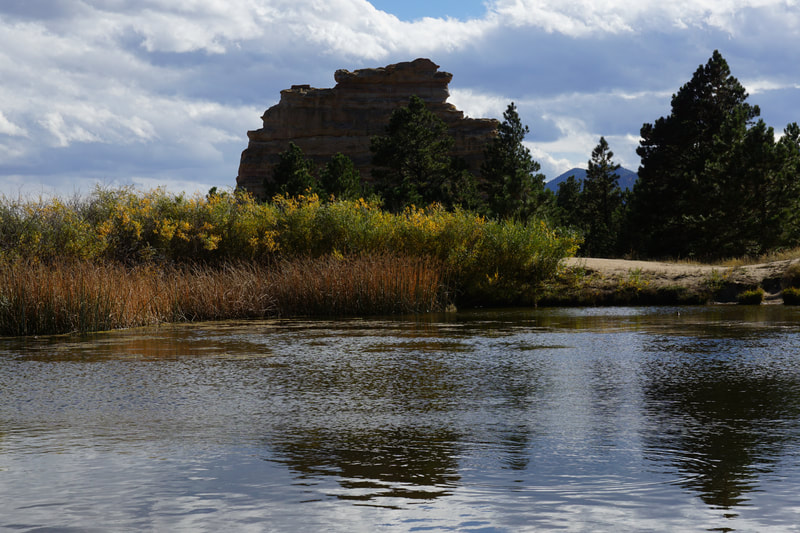
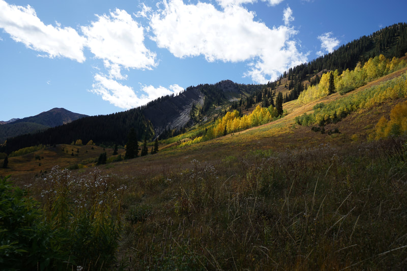
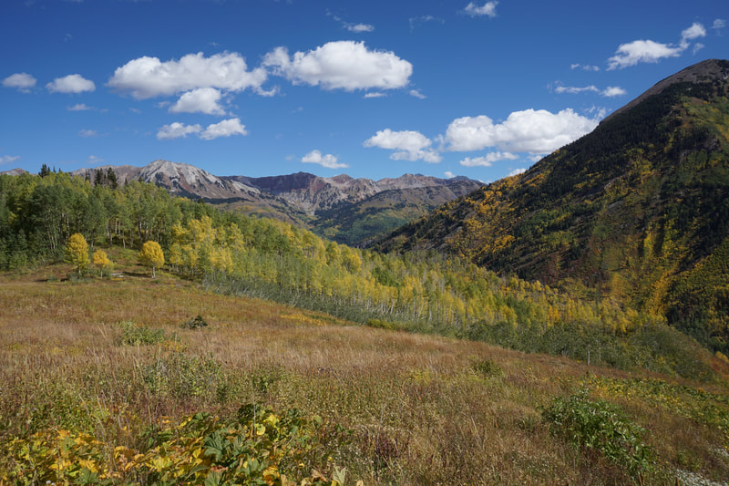
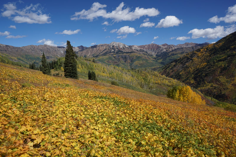
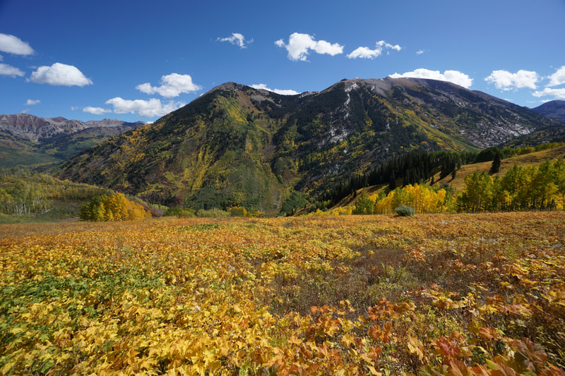
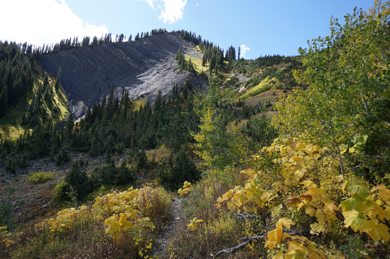
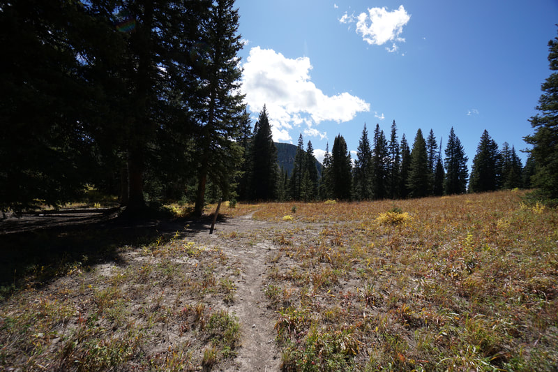
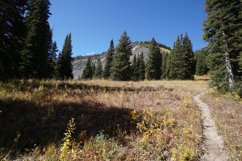
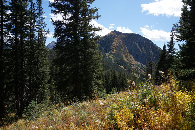
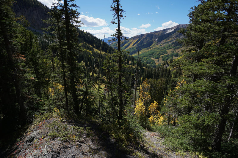
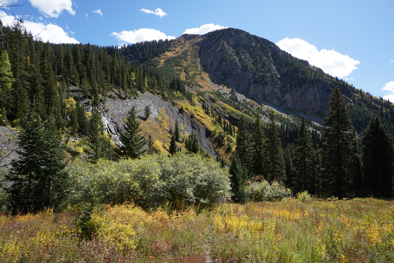
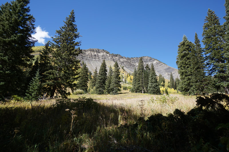
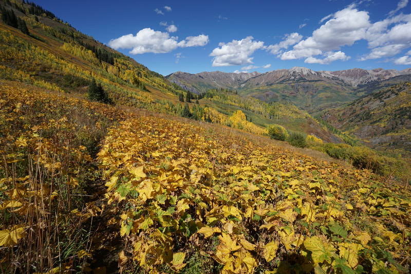
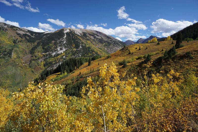
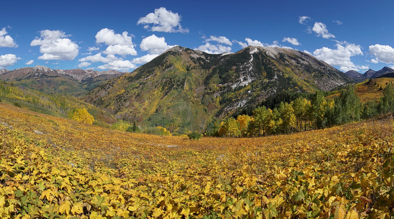
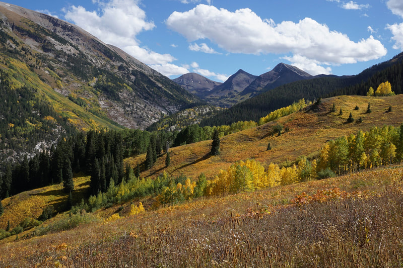
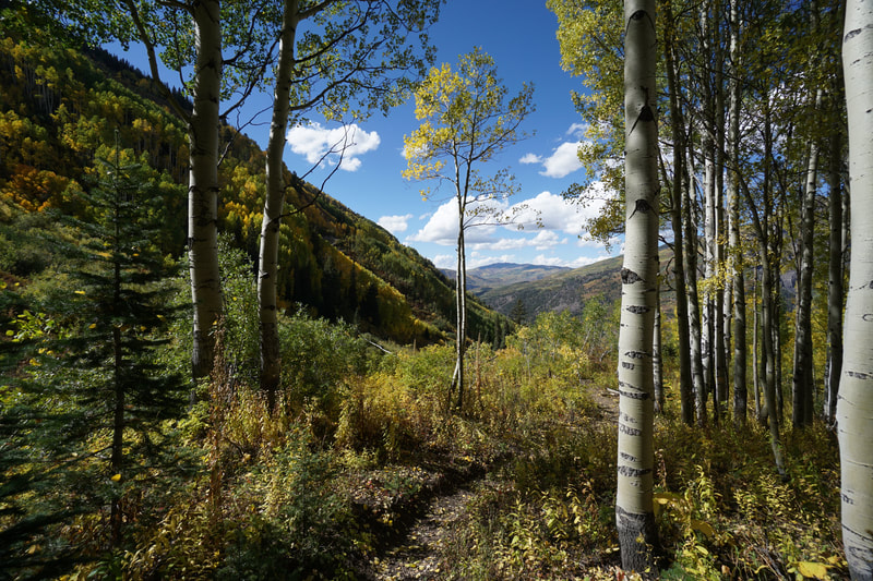
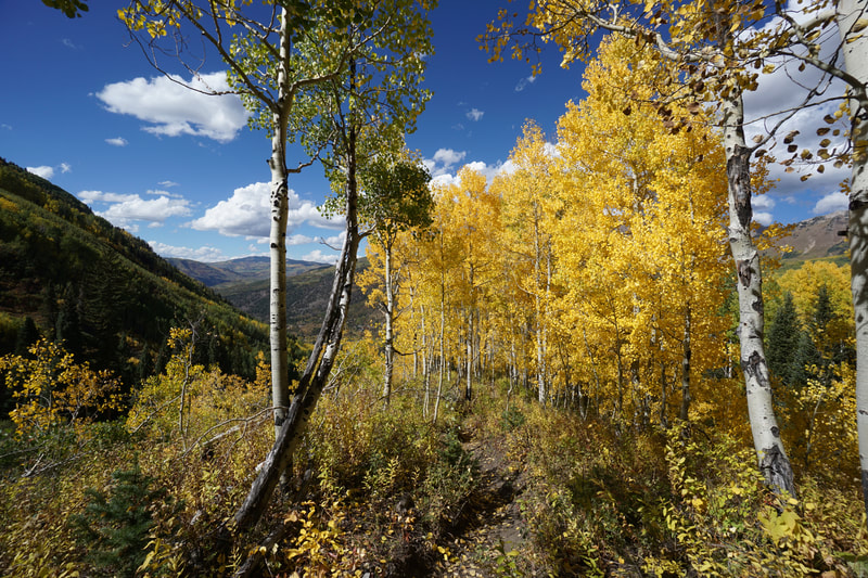
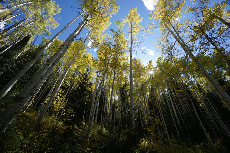
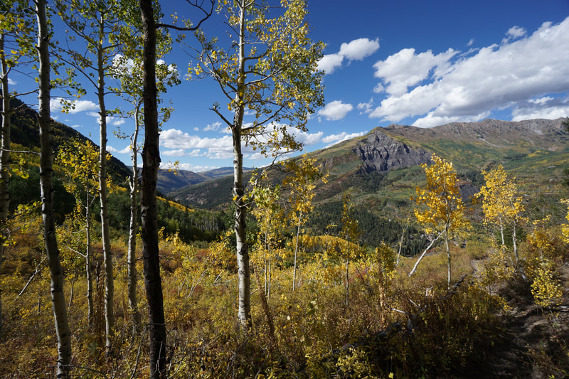
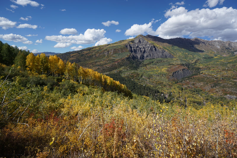
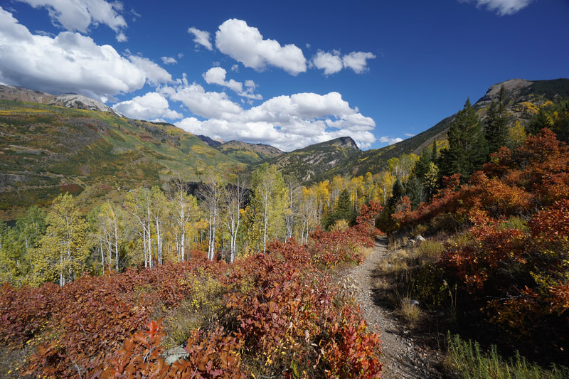
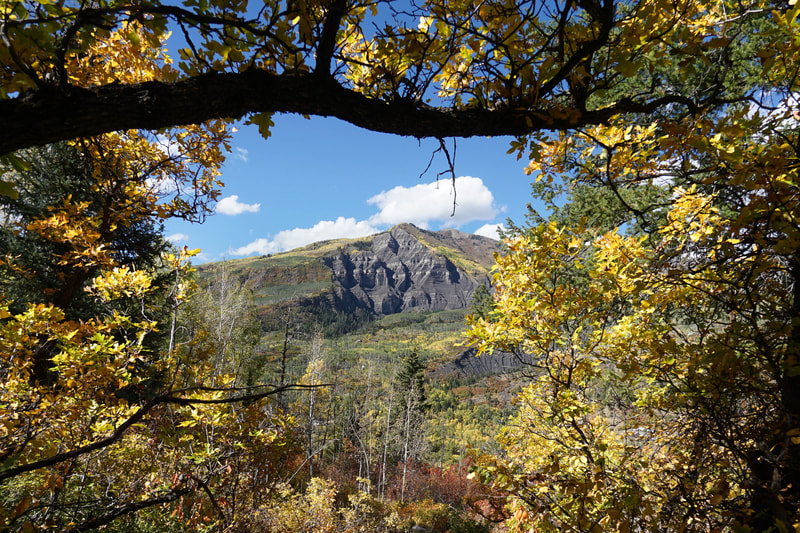
The hike to Anthracite Pass, through the Raggeds Wilderness, is one of the prettiest hikes I have ever done...period. We hiked this trail during what is typically the peak weekend for fall colors. This year however, the fall transition is a bit delayed and the colors around Marble, CO were not quite peak. That being said, and as you can see by the photo gallery, the fall colors along this trail are nothing short of amazing. The best thing about this hike, is that it's not just about golden aspen groves. The undergrowth and the oak trees provide oranges and reds and the mountains that accompany you throughout the hike are monstrous, awe inspiring, and beautiful.
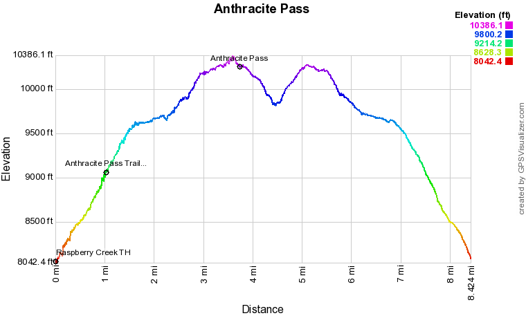
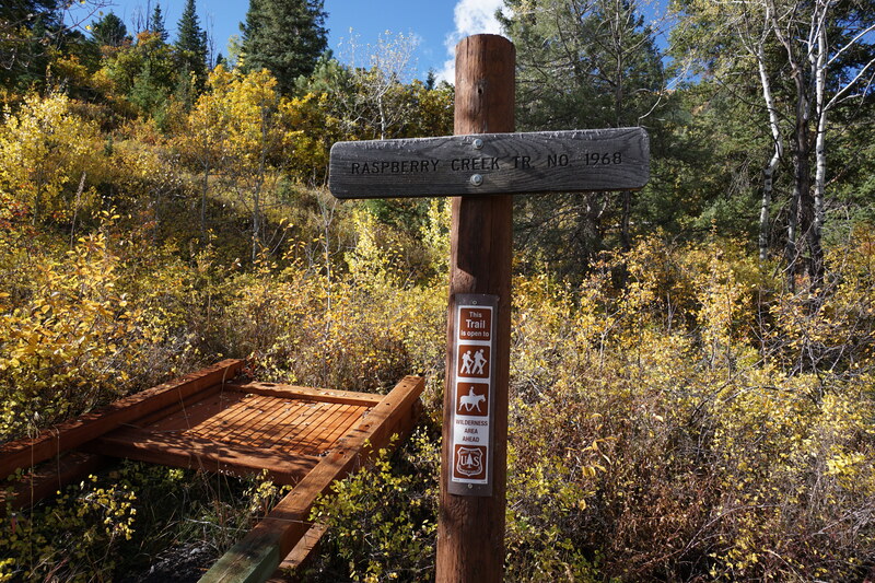
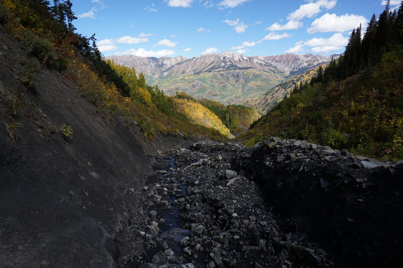
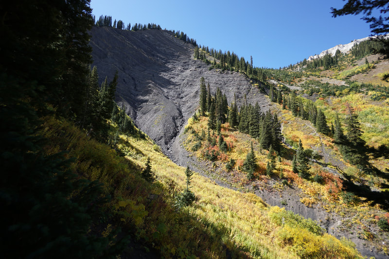
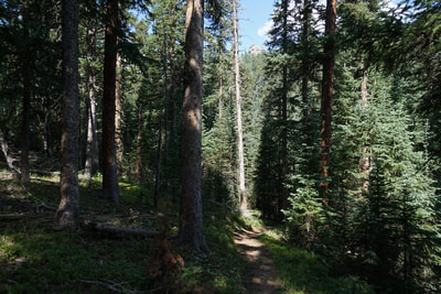
You start the hike on the Raspberry Creek Trail as it immediately starts working its way steeply up the hillside. The views are immediately incredible and the fall colors are immediately incredible. The trail switchbacks up passing through tall old growth aspen groves and crossing through avalanche zones with young aspens and oaks filling in the gaps in the terrain. Views of the surrounding hillsides show that the majority of the trees in this valley are aspen groves. After about a mile of steep hiking you reach the junction with the Anthracite Trail, stay left here. The aspens in this section are truly striking as the trail follows a small ridge up towards a pass. After half a mile you reach a pass and the views of the mountains to the east begins. The next mile or so is some of the most pleasant hiking I've ever experienced. This middle section of the trail cuts across the eastern flanks of the drainage and the views to east are just phenomenal. Directly across the valley Whitehouse, Treasure, and Treasury mountains are your constant companions. Down in the base of the valley the marble quarry can just barely be seen. Back down-valley to the north the solid wall of jagged peaks is breathtaking. These peaks in include Mount Daly and you can just make out Snowmass Mountain peaking up in the distance. These views are constant for this entire section. Also constant are the awesome fall colors. You'll pass through multiple aspen groves on this section but the ground cover and undergrowth is equally as colorful. The contrast of the brilliant colors with the grey stark peaks is hard to describe in words. After 1.3 miles of cutting across the slopes, you'll reach a steep gully under Marble Mountain, this part takes some caution as the trail is steep and eroded. On the far side of the gully you enter a dense pine forest then break out to cut across the slope a little bit more before re-entering the forest. Before you know it you'll arrive at Anthracite Pass at about 3.6 miles from the trailhead. You'll know you've arrived because there is a 3 way trail junction and a post with no sign... This pass is a little bit anticlimactic. You may even question whether or not this is actually Anthracite Pass...it is... Anthracite Pass is mostly wooded and has very limited views. This really is one of those "its the journey not the destination" hikes. The trail to the right heads up to the summit of Marble Mountain and the ridge connecting back to the Raspberry Creek Trail. The trail to the left heads down to the road near the quarry. The trail straight ahead meanders down the other side of the basin eventually leading to Dark Canyon and Kebler Pass Road. If you are not satisfied by the scenery at the actual pass, you can hike down to reach some open meadows with limited but pretty views. If Anthracite Pass is your destination then turn around at the post and head back through the same beautiful scenery. The Raggeds Wilderness around Marble, CO sees far less visitors then the Elk Mountains near Aspen or Crested Butte yet it is no less stunning. The hike to Anthracite Pass, while difficult, is a great way to experience these mountains, especially during the precious few weeks of fall color. You will not be disappointed...I promise... |
- HOME
- ABOUT
-
HIKES BY REGION
-
NATIONAL PARK HIKES
- BENT'S OLD FORT NATIONAL HISTORIC SITE
- BLACK CANYON OF THE GUNNISON NATIONAL PARK
- COLORADO NATIONAL MONUMENT
- CURECANTI NATIONAL RECREATION AREA
- DINOSAUR NATIONAL MONUMENT
- FLORISSANT FOSSIL BEDS NATIONAL MONUMENT
- MESA VERDE NATIONAL PARK
- ROCKY MOUNTAIN NATIONAL PARK
- GREAT SAND DUNES NATIONAL PARK
- HOVENWEEP NATIONAL MONUMENT
- SAND CREEK MASSACRE NATIONAL HISTORIC SITE
- YUCCA HOUSE NATIONAL MONUMENT
- HIKES BY CATEGORY
- NEWS
- WEBCAMS
- $UPPORT GHC
- INTERACTIVE MAP
Anthracite Pass
Raggeds Wilderness
White River National Forest
Date Hiked: September 28, 2019
Distance: 7.5 mi (RT) to Pass; 8 mi (RT) to Meadow Views
Elevation Gain: 2,400 ft to Pass; 3,000 to Meadow Views
Elevation Min/Max: 8,042 to 10,386 ft
Trailhead Lat/Long: 39º 04' 03" N; 107º 11' 09" W
Managing Agency: U.S. Forest Service
Fee: None

