GO HIKE COLORADO
Get in Touch:
  • HOME
  • ABOUT
  • HIKES BY REGION
    • DENVER AREA >
      • Denver Mountain Parks
      • Jefferson County Open Space
      • Lakewood Parks
      • Denver Area Greenways
    • BOULDER AREA
    • DOUGLAS COUNTY
    • FORT COLLINS AREA
    • COLORADO SPRINGS AREA
    • FRONT RANGE
    • TENMILE & MOSQUITO RANGES
    • GORE RANGE
    • SANGRE DE CRISTO MOUNTAINS
    • PARK RANGE
    • SAWATCH RANGE
    • ELK MOUNTAINS
    • SAN JUAN MOUNTAINS
    • THE FLAT TOPS
    • GRAND MESA
    • COLORADO PLATEAU
    • EASTERN PLAINS
  • NATIONAL PARK HIKES
    • BENT'S OLD FORT NATIONAL HISTORIC SITE
    • BLACK CANYON OF THE GUNNISON NATIONAL PARK
    • COLORADO NATIONAL MONUMENT
    • CURECANTI NATIONAL RECREATION AREA
    • DINOSAUR NATIONAL MONUMENT
    • FLORISSANT FOSSIL BEDS NATIONAL MONUMENT
    • MESA VERDE NATIONAL PARK
    • ROCKY MOUNTAIN NATIONAL PARK
    • GREAT SAND DUNES NATIONAL PARK
    • HOVENWEEP NATIONAL MONUMENT
    • SAND CREEK MASSACRE NATIONAL HISTORIC SITE
    • YUCCA HOUSE NATIONAL MONUMENT
  • HIKES BY CATEGORY
    • HIKES TO ALPINE LAKES
    • HIKES TO PEAKS & PASSES
    • HIKES THROUGH CANYONS
    • HIKES WITH FALL COLORS
    • HIKES ALONG THE I-70 CORRIDOR
    • HIKES ON PAVED TRAILS
    • HIKES FOR KIDS
    • HIKES TO WATERFALLS
    • HIKES ALONG RIVERS
    • HIKES WITH ROCK FORMATIONS
    • HIKES WITH WILDFLOWERS
    • WINTER HIKES
  • NEWS
  • WEBCAMS
  • $UPPORT GHC
  • INTERACTIVE MAP

Judd Falls
Gunnison National Forest

Date Hiked: May 26, 2012

Distance: 2.3 mi (RT)
Elevation Gain: 300ft
Elevation Min/Max: 9,600 to 9,903ft
Trailhead Lat/Long: 38.966829º N; 106.993188º W
Managing Agency: U.S. Forest Service
Fee: None

Copper Creek Trail Info (USFS)
Picture

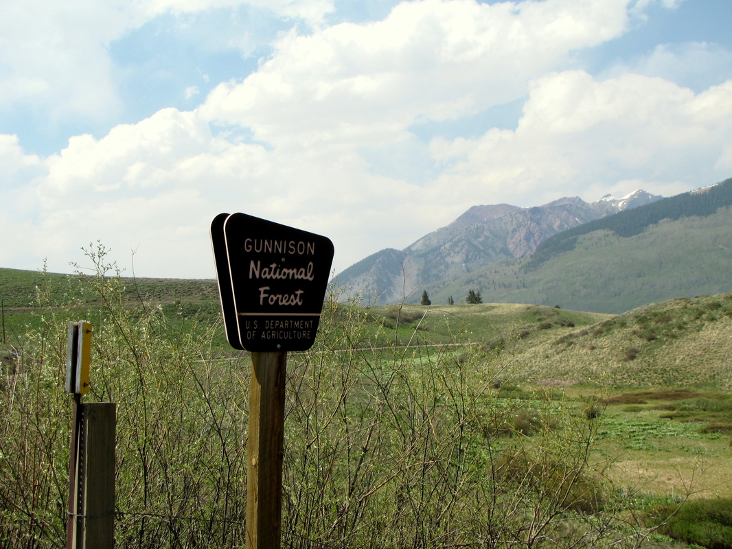
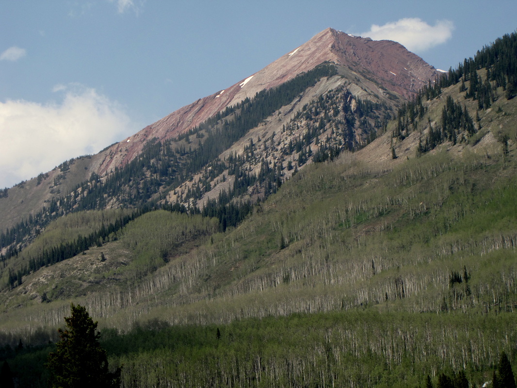
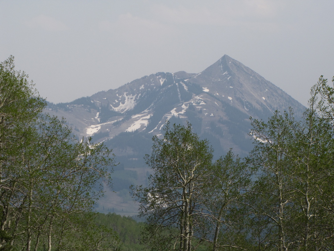
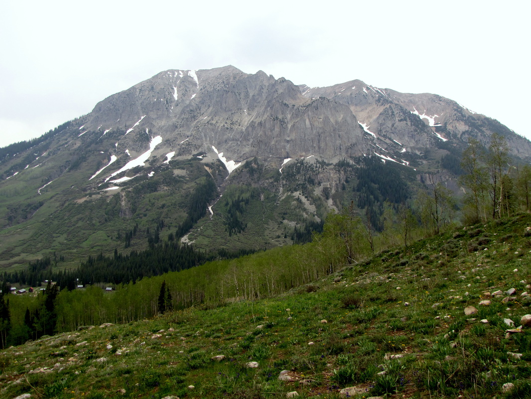
Directions:  From Crested Butte, head north on Gothic Road through Mt. Crested Butte.  Head north for a few miles, cross a bridge, and before the town of Gothic, look for a turn off to the right.  The lower parking area will be obvious but if need landmarks there is a port-a-potty in the parking area...oh, yeah, and the parking area is just to the east of and in the shadow the imposing hulk of Gothic Mountain, but look for the port-a-potty.  This is the lower parking area, this is a very popular area and you will most likely have to park here, but the Cooper Creek trailhead is .5 mi up the dirt road from here.  If you park at the upper lot you shave 1 mi RT off of this hike.

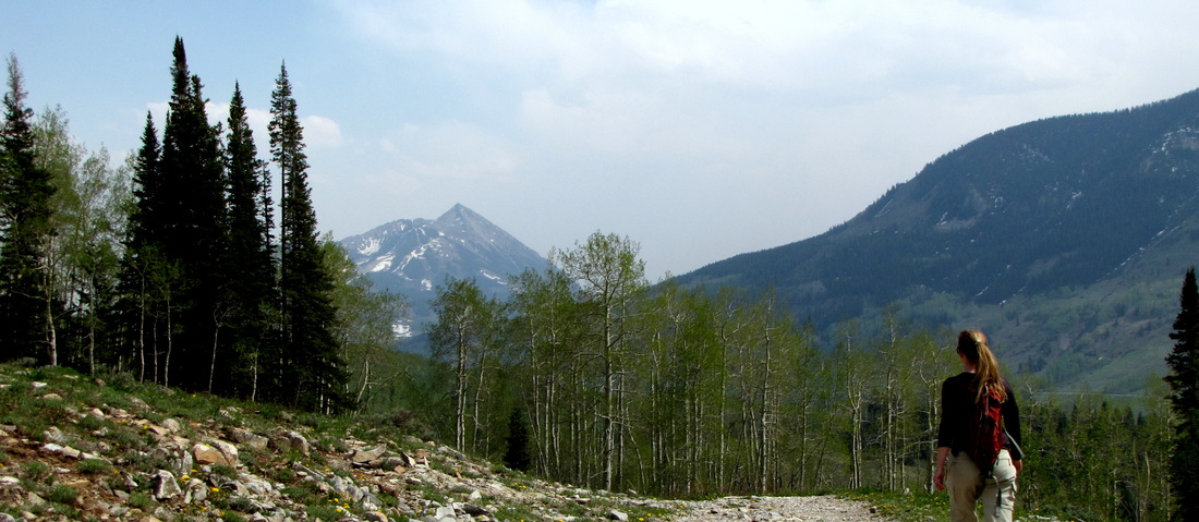
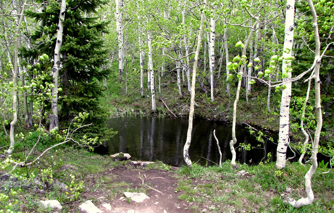
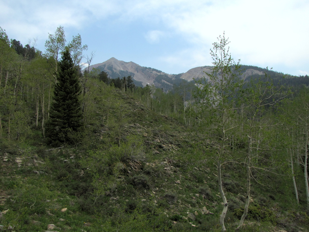
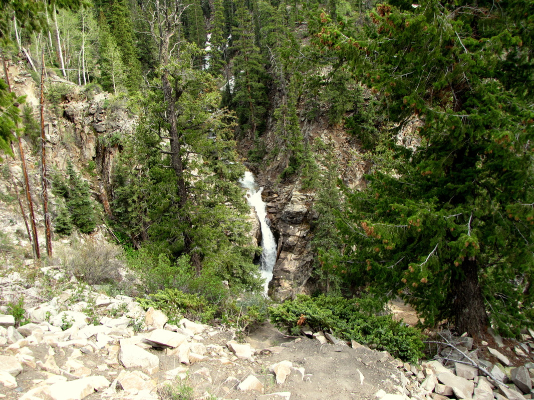
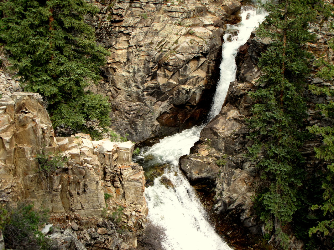
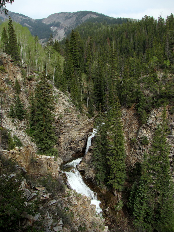
From the Cooper Creek trailhead, the hike is a pleasant .5 mi jaunt through Aspen forest.  There are great views of Gothic Mountain and Mt. Crested Butte, and a few small ponds along the way.  When you reach the trail junction with the dirt road leading into the wilderness and up cooper creek, you have arrived at the falls overlook.  The falls are located in a narrow slot canyon and you look down on them.  They are impressive, especially in the early season when Cooper Creek is full of snow melt.  There is a nice bench to enjoy the view until you are ready to head back...or further up the trail into the wonders of the Elk Mountains.
© Go Hike Colorado, 2020.  All Rights Reserved. 
Use of photographs without prior authorization is
​strictly prohibited.


Contact us at:
[email protected]
Legal Disclaimer - Information provided on this site is based upon our own observations, always double check information with the appropriate land management agency before heading into the backcountry.  Backcountry travel is inherently dangerous, please take all proper precautions.  Go Hike Colorado is not responsible for injury or incident.