GO HIKE COLORADO
Get in Touch:
  • HOME
  • ABOUT
  • HIKES BY REGION
    • DENVER AREA >
      • Denver Mountain Parks
      • Jefferson County Open Space
      • Lakewood Parks
      • Denver Area Greenways
    • BOULDER AREA
    • DOUGLAS COUNTY
    • FORT COLLINS AREA
    • COLORADO SPRINGS AREA
    • FRONT RANGE
    • TENMILE & MOSQUITO RANGES
    • GORE RANGE
    • SANGRE DE CRISTO MOUNTAINS
    • PARK RANGE
    • SAWATCH RANGE
    • ELK MOUNTAINS
    • SAN JUAN MOUNTAINS
    • THE FLAT TOPS
    • GRAND MESA
    • COLORADO PLATEAU
    • EASTERN PLAINS
  • NATIONAL PARK HIKES
    • BENT'S OLD FORT NATIONAL HISTORIC SITE
    • BLACK CANYON OF THE GUNNISON NATIONAL PARK
    • COLORADO NATIONAL MONUMENT
    • CURECANTI NATIONAL RECREATION AREA
    • DINOSAUR NATIONAL MONUMENT
    • FLORISSANT FOSSIL BEDS NATIONAL MONUMENT
    • MESA VERDE NATIONAL PARK
    • ROCKY MOUNTAIN NATIONAL PARK
    • GREAT SAND DUNES NATIONAL PARK
    • HOVENWEEP NATIONAL MONUMENT
    • SAND CREEK MASSACRE NATIONAL HISTORIC SITE
    • YUCCA HOUSE NATIONAL MONUMENT
  • HIKES BY CATEGORY
    • HIKES TO ALPINE LAKES
    • HIKES TO PEAKS & PASSES
    • HIKES THROUGH CANYONS
    • HIKES WITH FALL COLORS
    • HIKES ALONG THE I-70 CORRIDOR
    • HIKES ON PAVED TRAILS
    • HIKES FOR KIDS
    • HIKES TO WATERFALLS
    • HIKES ALONG RIVERS
    • HIKES WITH ROCK FORMATIONS
    • HIKES WITH WILDFLOWERS
    • WINTER HIKES
  • NEWS
  • WEBCAMS
  • $UPPORT GHC
  • INTERACTIVE MAP

Smuggler Mountain Overlook
Smuggler Mountain Open Space

Date Hiked: December 13, 2015

Distance: 2.9 mi (RT)
Elevation Gain: 887 ft
Elevation Min/Max: 7,961 to 8,845 ft 
Trailhead Lat/Long: 39º 11' 30" N; 106º 48' 29" W  
Managing Agency: Pitkin County Open Space & Trails
Fee: None

Smuggler Mt. Road Info (USFS)

Picture

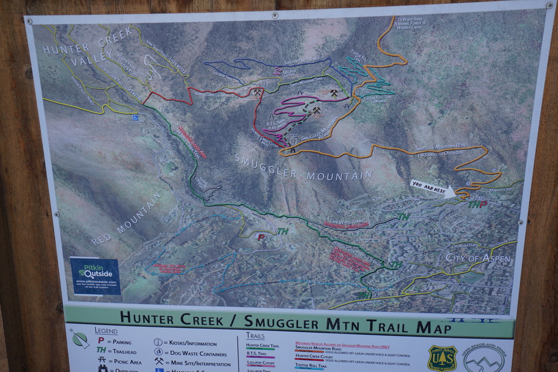
From Downtown Aspen (Hwy 82) turn left (north) on Mill Street just after the Hotel Jerome.  Cross over the bridge and turn right on Gibson Ave.  Follow Gibson Ave and bear left onto South Ave which becomes Park Circle.  Turn left onto Smuggler Mountain Road and look for the parking uphill to the right.  Note:  You can walk from Downtown Aspen to the TH, but county on some extra time and mileage.

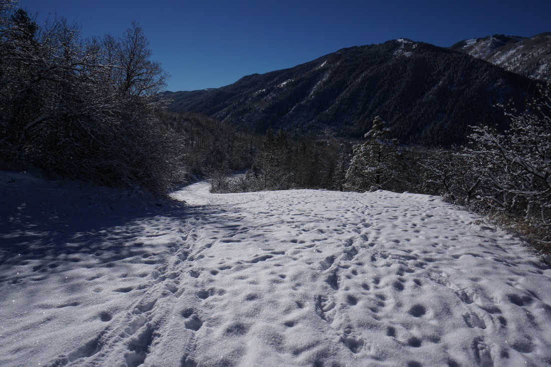
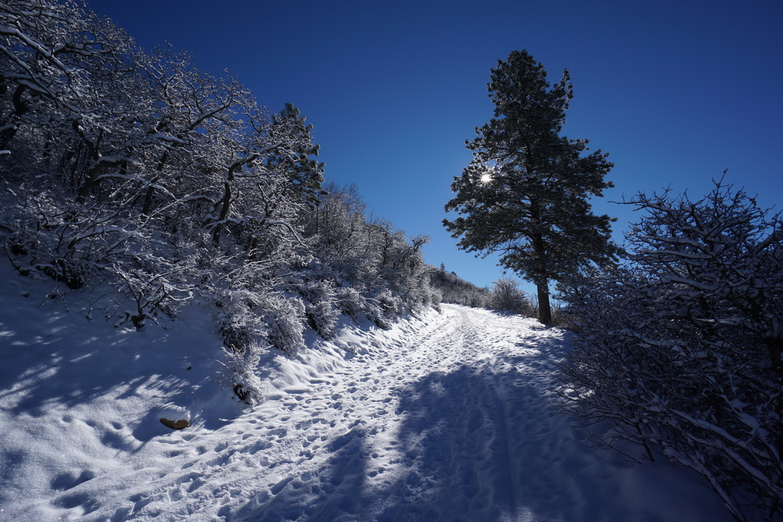
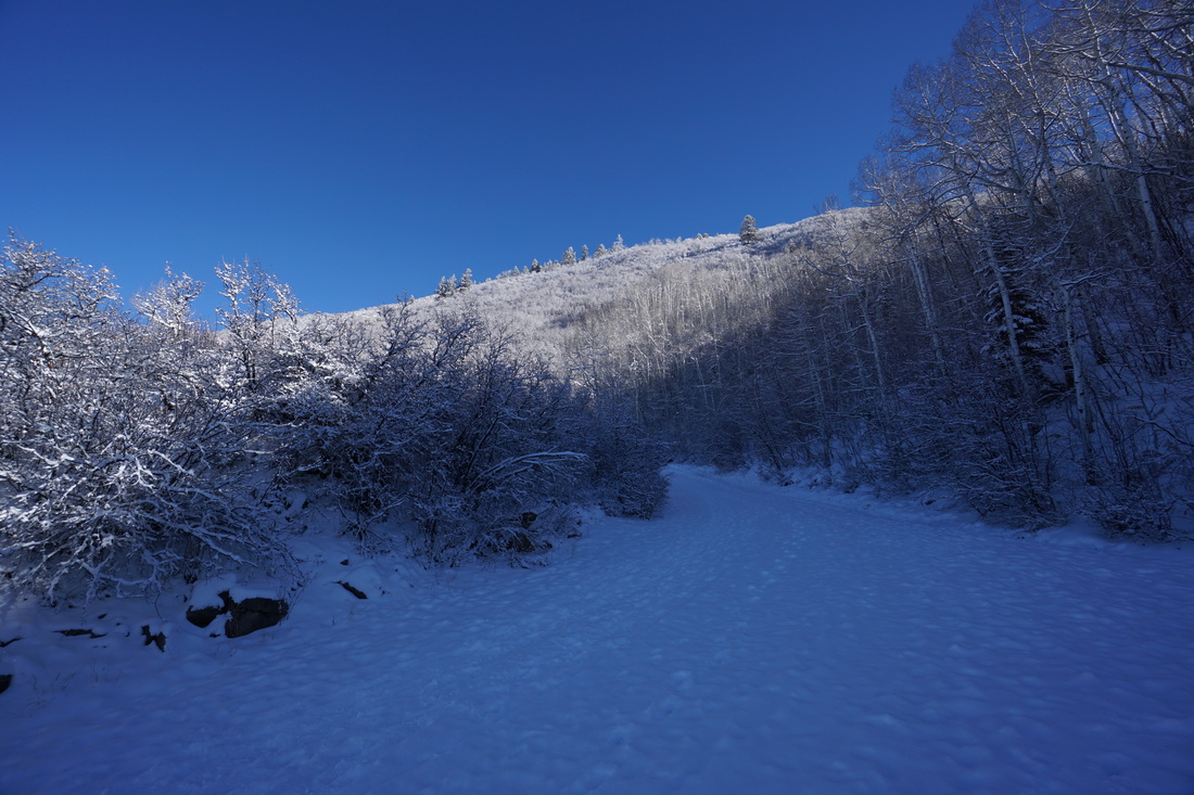
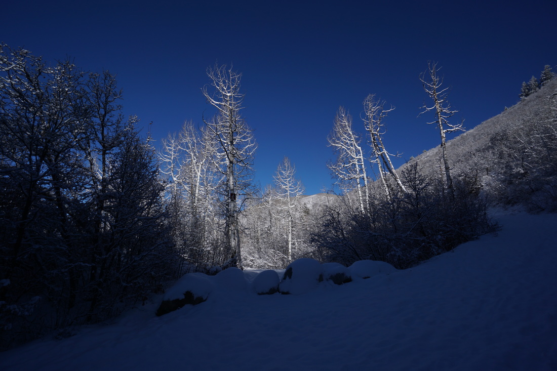
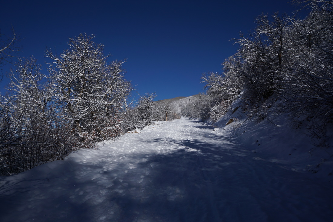
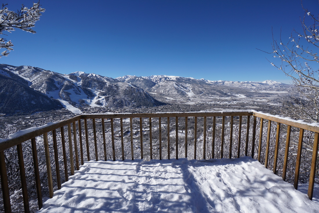
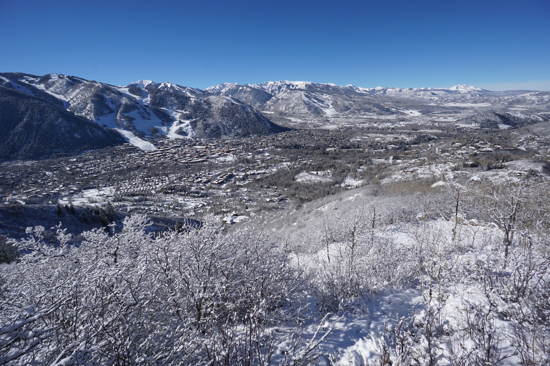
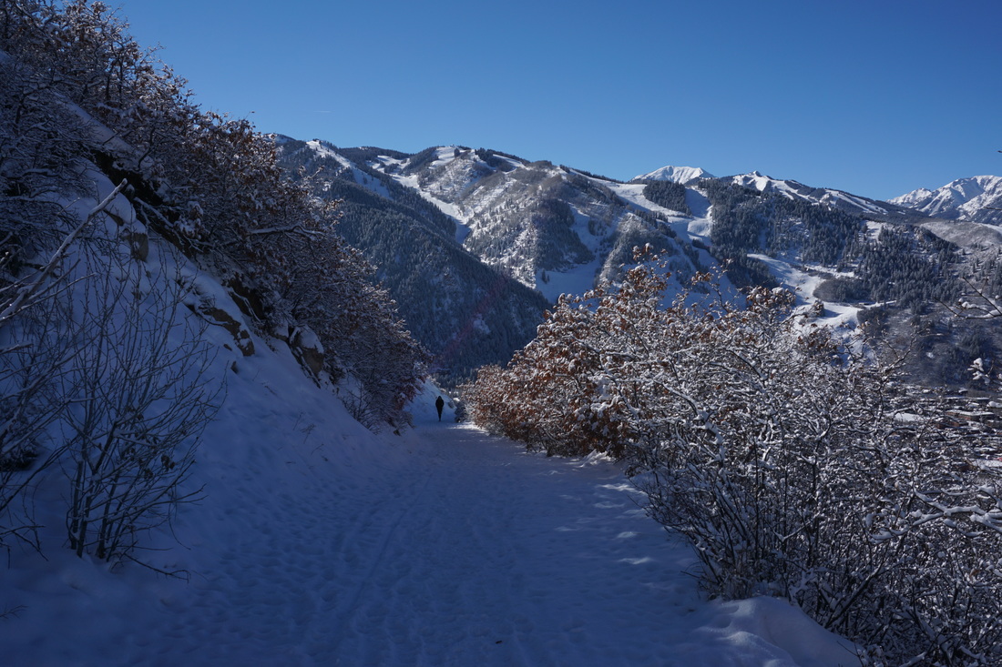
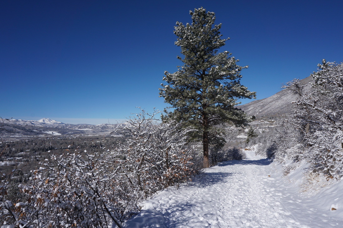
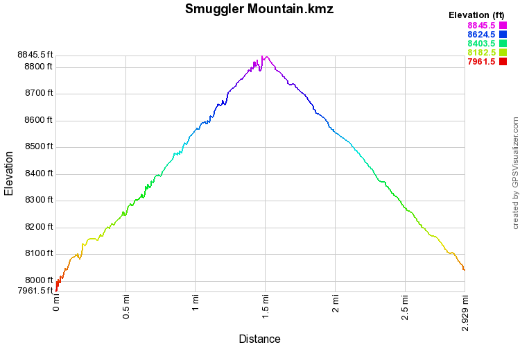
The hike up to the Smuggler Mountain Overlook/Observation deck is a great little hike just north of downtown Aspen.  The trail is easy enough for kids but strenuous enough to feel like more than just a quick stroll...in fact the hike rises more than 850ft in just over a mile. 

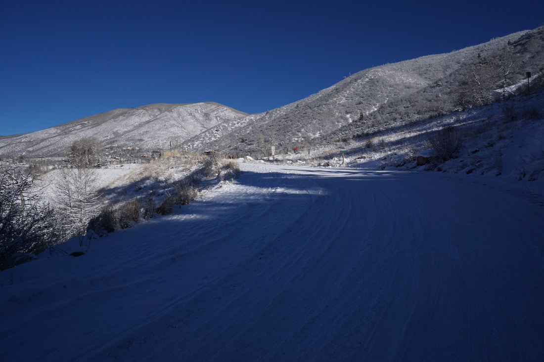
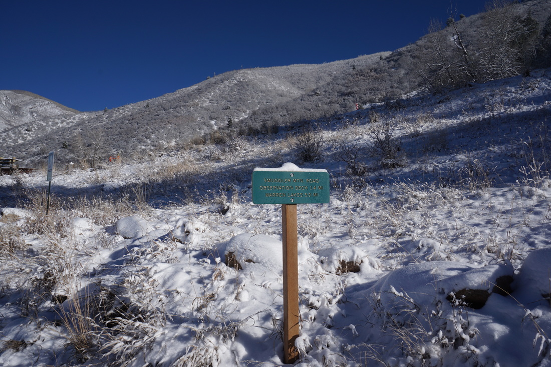
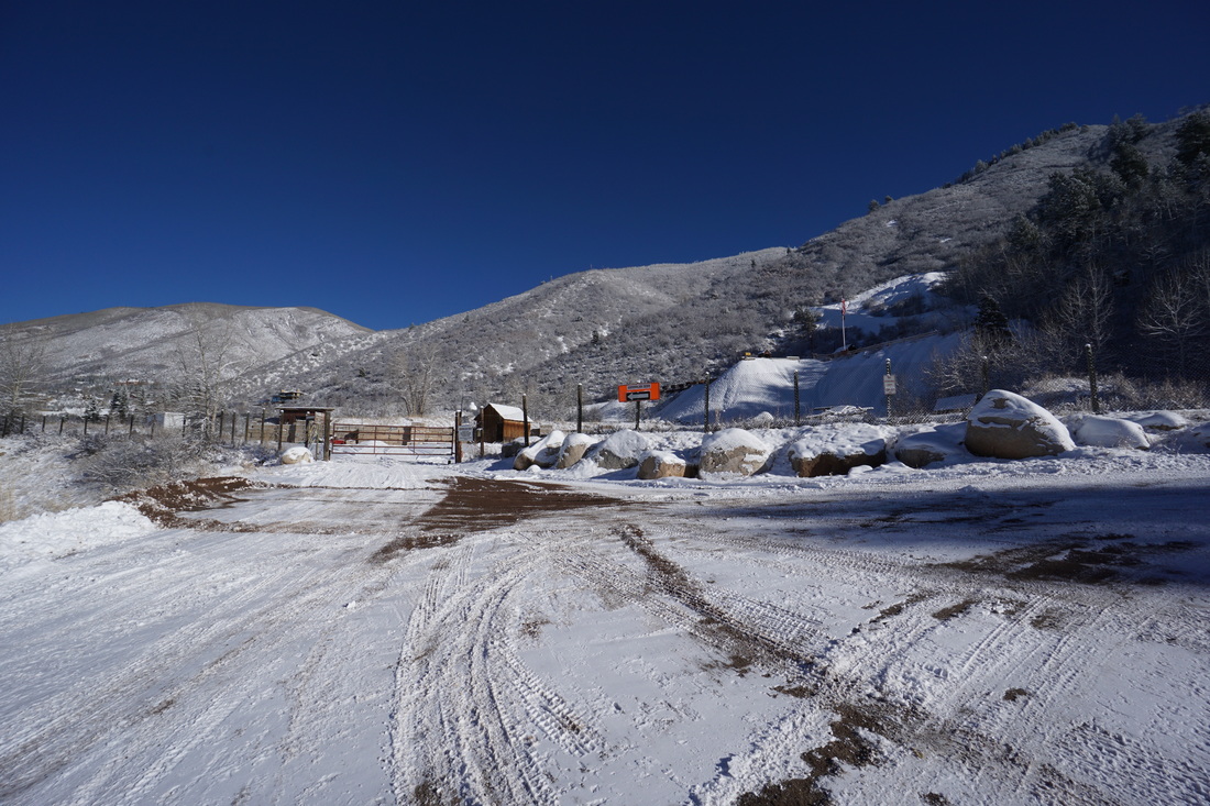
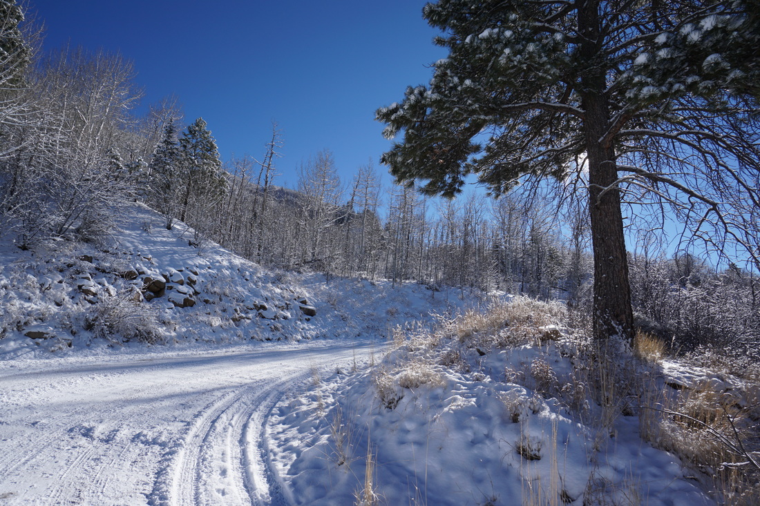
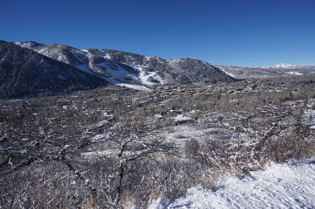
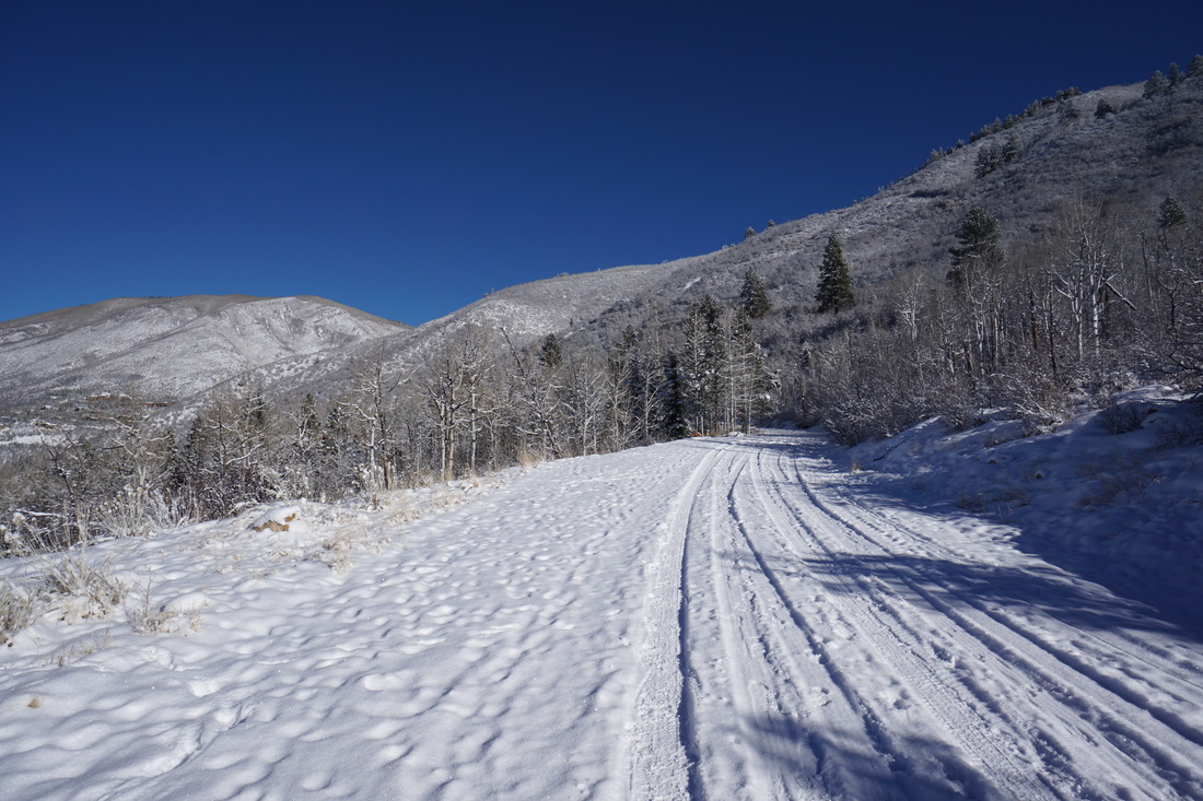
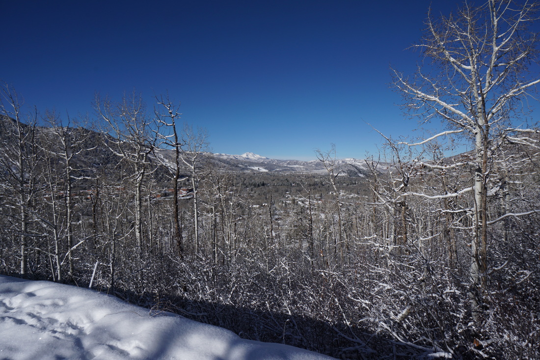
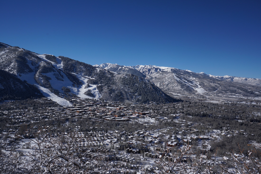
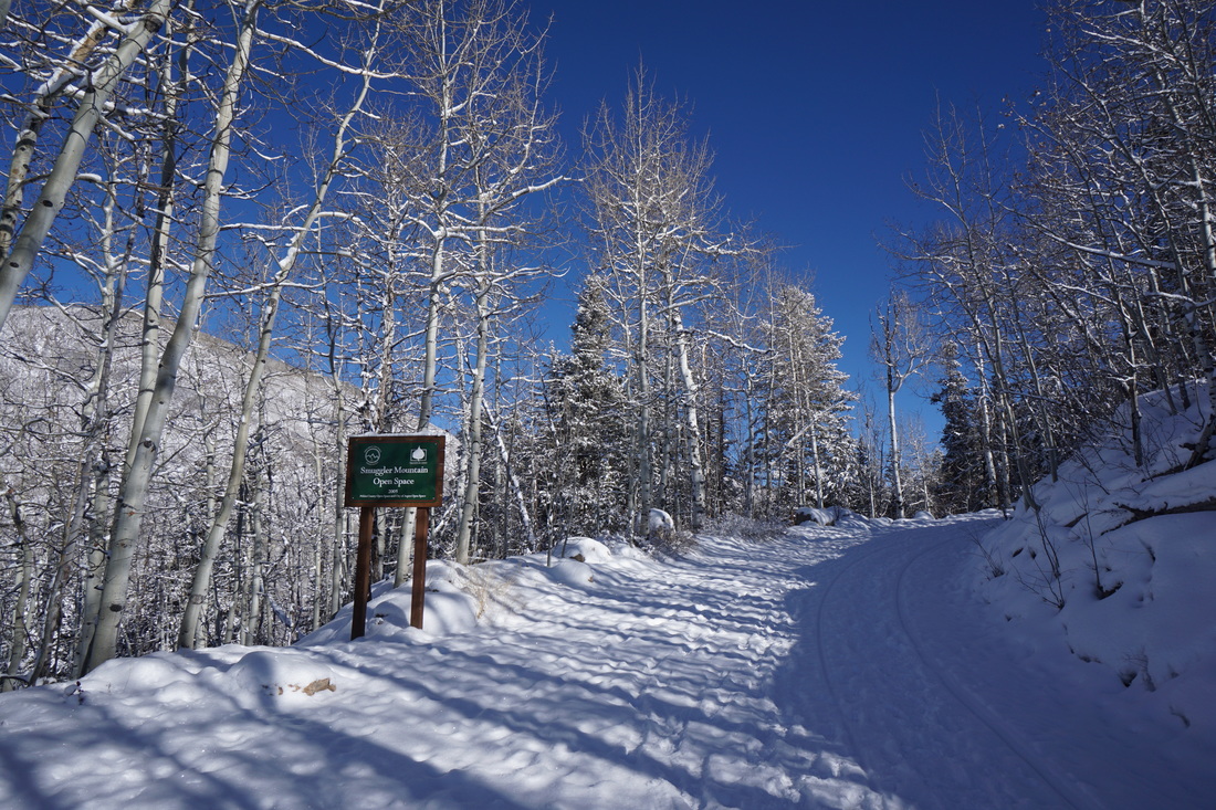
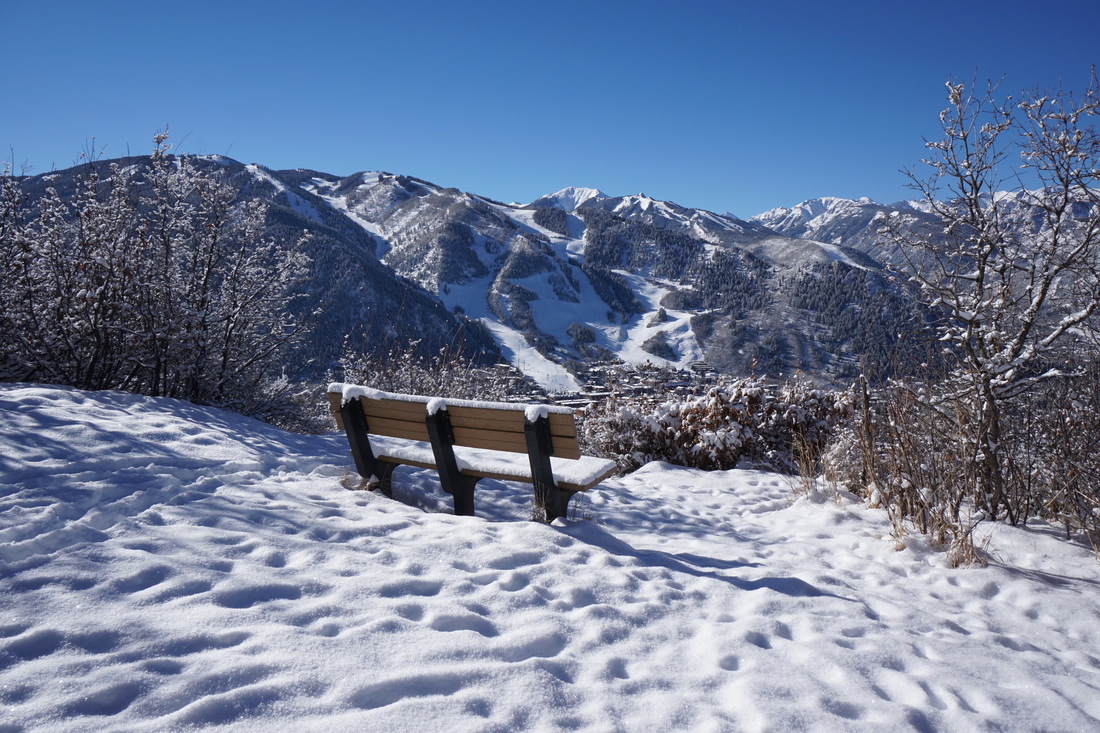
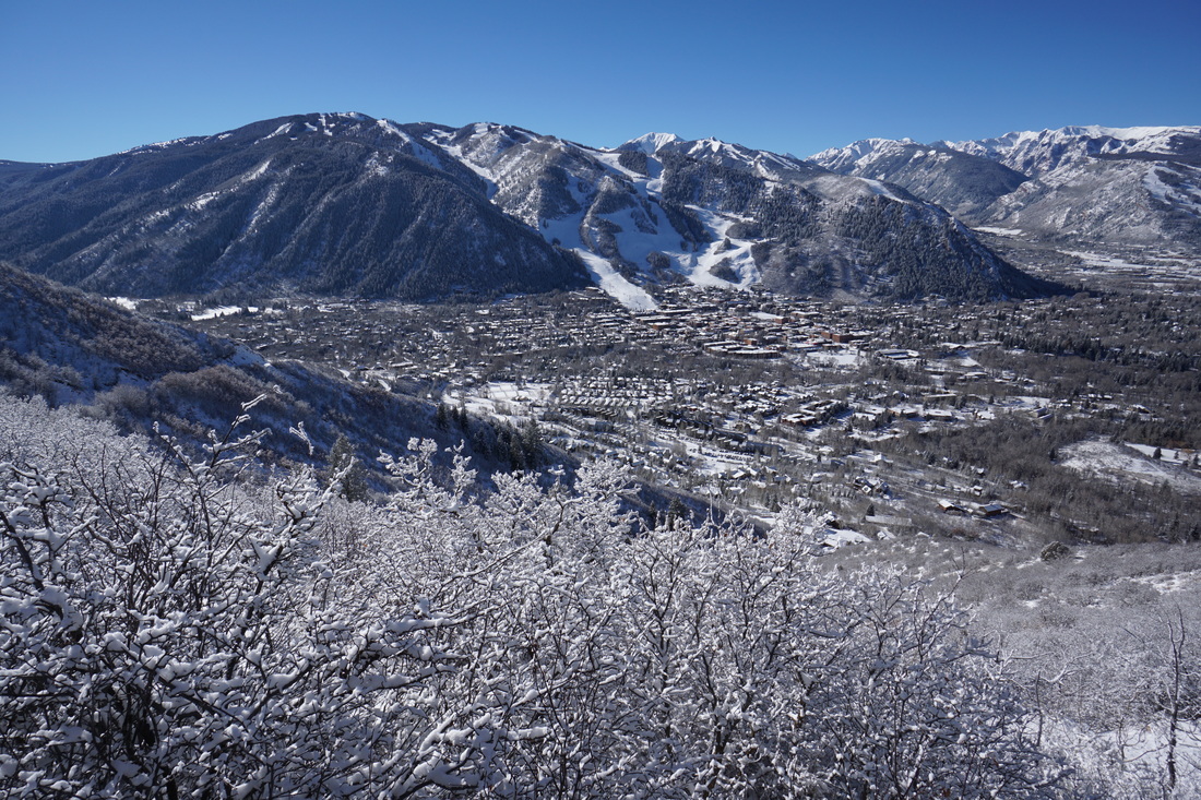
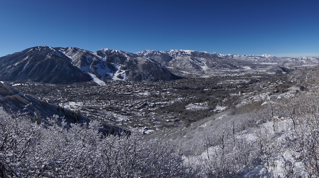
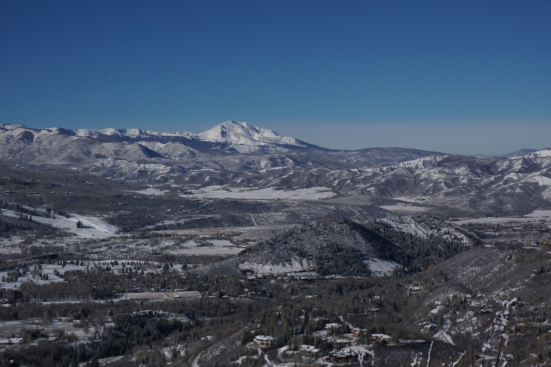
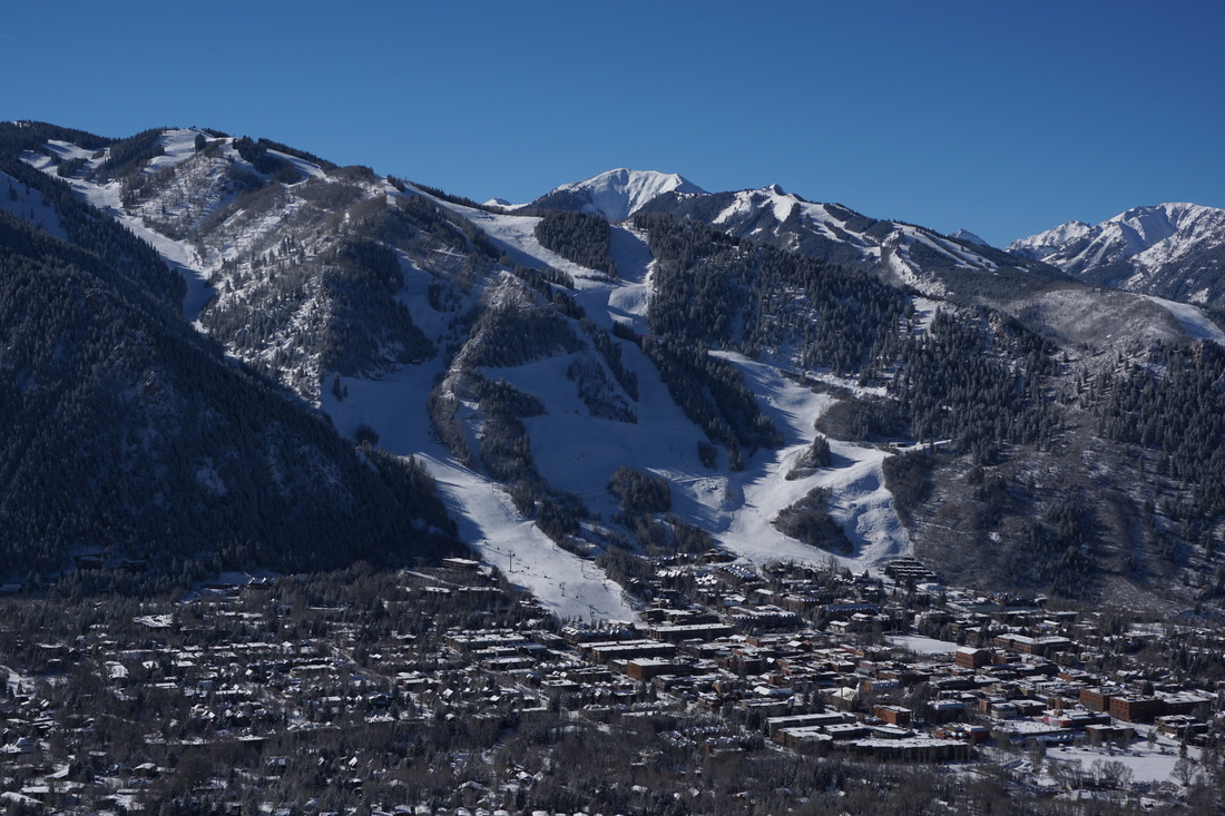
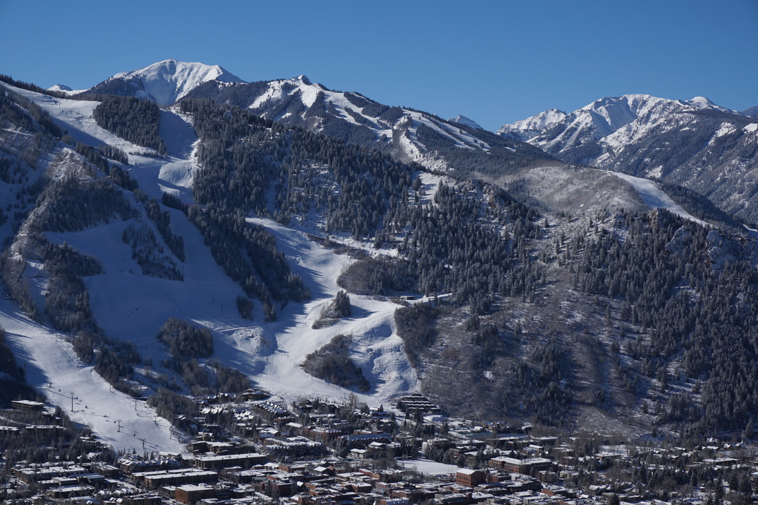
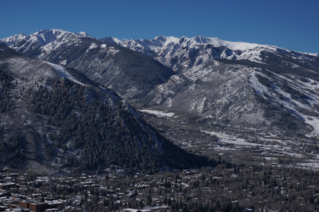
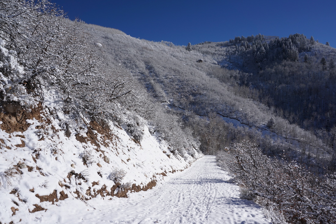
The trail consists of a dirt road bed, plowed to the last house, then unmaintained to the top.  Most likely you will not need snowshoes for this hike but micro spikes or other traction is helpful.  The trail starts near the Smuggler Mine and switchbacks up the side of the mountain until it levels off at the Smuggler Mountain Open Space boundary.  The views are amazing and immediate.  The Elk Mountains provide a scenic backdrop to the town with the Aspen Mountain (Ajax) Ski Resort in full display.  If you look closely, just over the Maroon Creek Valley, you'll see Pyramid Peak and the Maroon Bells peaking out.  To the west, Capitol and Snowmass Peaks are visible, and Mt. Sopris standing alone is a constant landmark.

Just next to the observation deck is the trailhead for the Smuggler Mountain Open Space trail system providing miles and miles of hiking options to explore at your leisure.  But if you are just looking for a quick hike with tremendous views, then give Smuggler Mountain a try.
 
Powered by Create your own unique website with customizable templates.