|
|
|
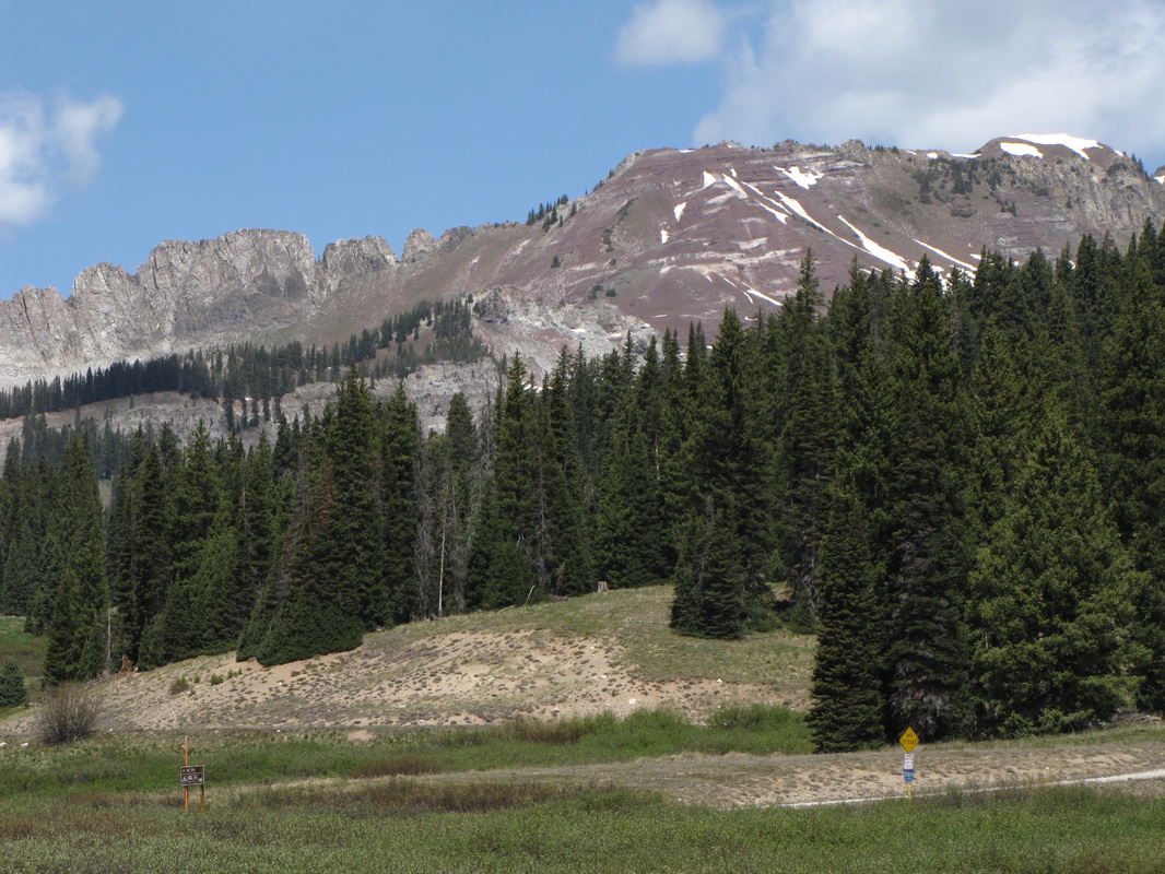
Directions: This trail can be hard to find, but it is well worth the search. From Crested Butte, take Kebler Pass Road west. Kebler Pass road is one of the prettiest roads in Colorado, but it closed in the winter. Turn right (north) when you see the signs for Lake Irwin (Rd 826). This is a dirt road, but a good dirt road. When you reach Lake Irwin, you want to continue up the road to the left of the lake. Bear right at the next turn, and make a right turn at the following junction. This road will dip down before switchbacking up the side of the mountain. You are looking for a large wood cabin-like structure. When you find the structure, look for the un-signed trail behind the cabin. The key here is to go to Lake Irwin, look across the lake and find the large wood cabin up the hill. That is your destination. With that as a bearing, finding the right road should be pretty easy. We did not turn onto the road that dips down and found ourselves utterly lost, about to give up until we spotted the cabin on the way back. Look for the cabin, the cabin is key...
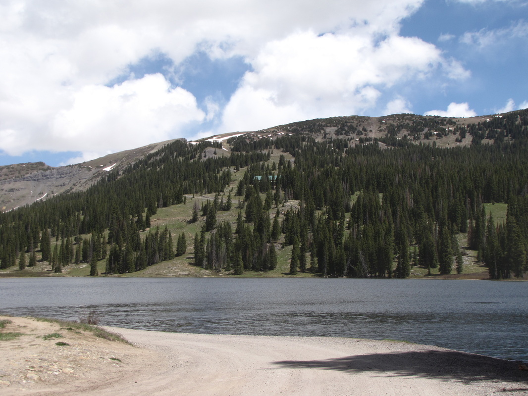
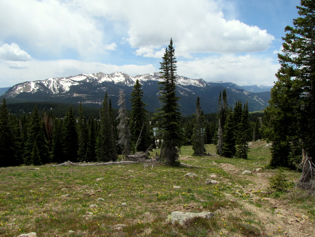
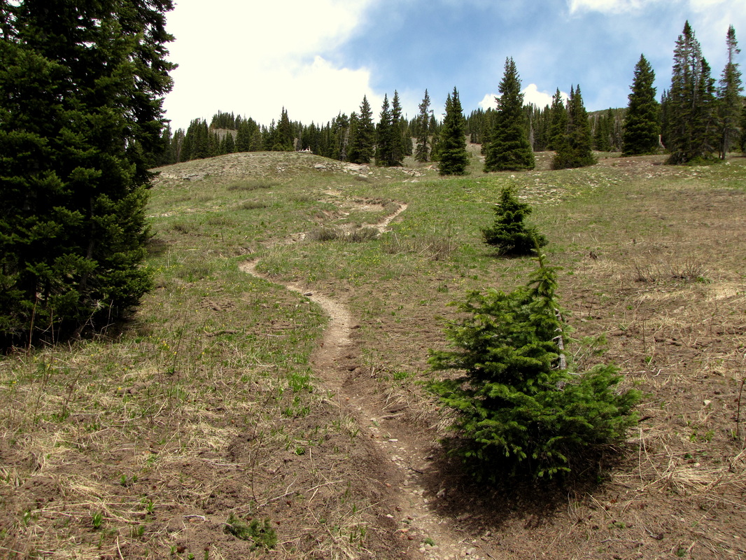
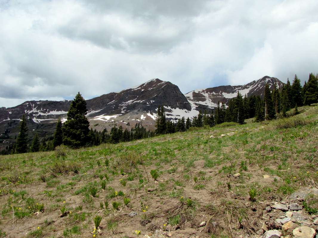
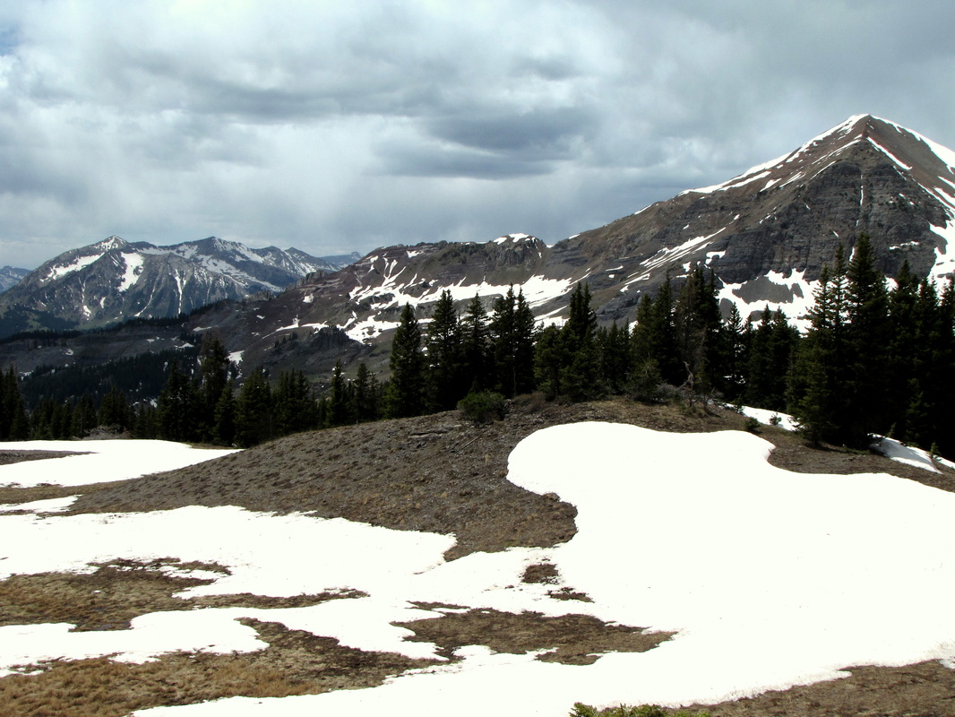
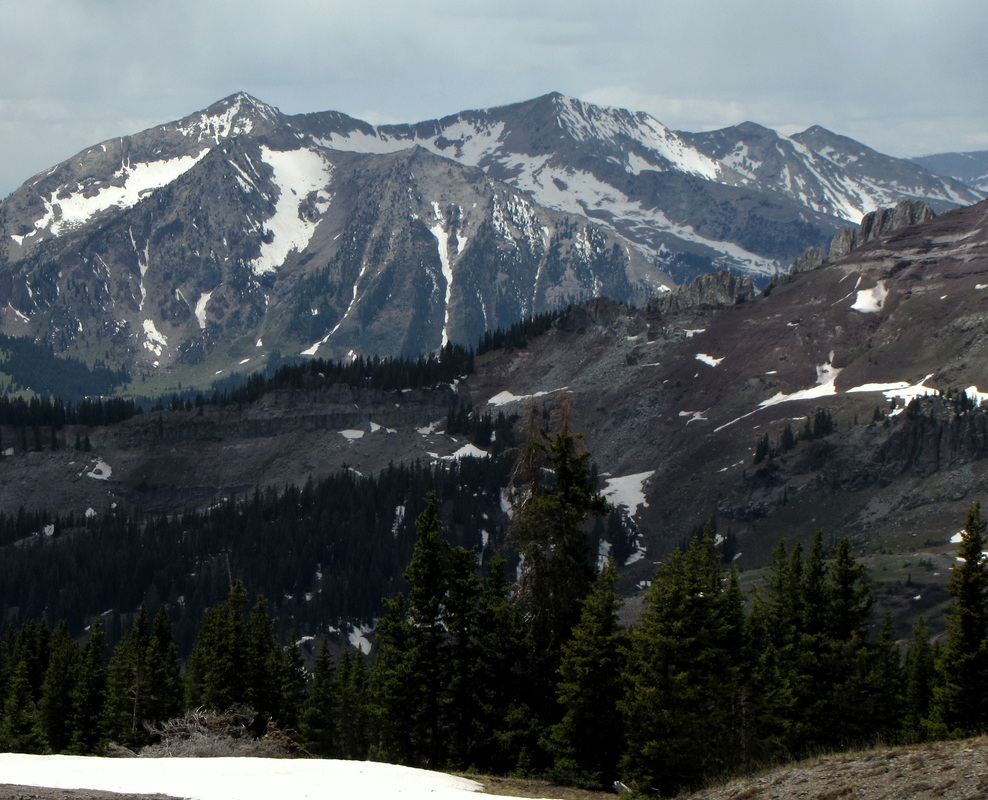
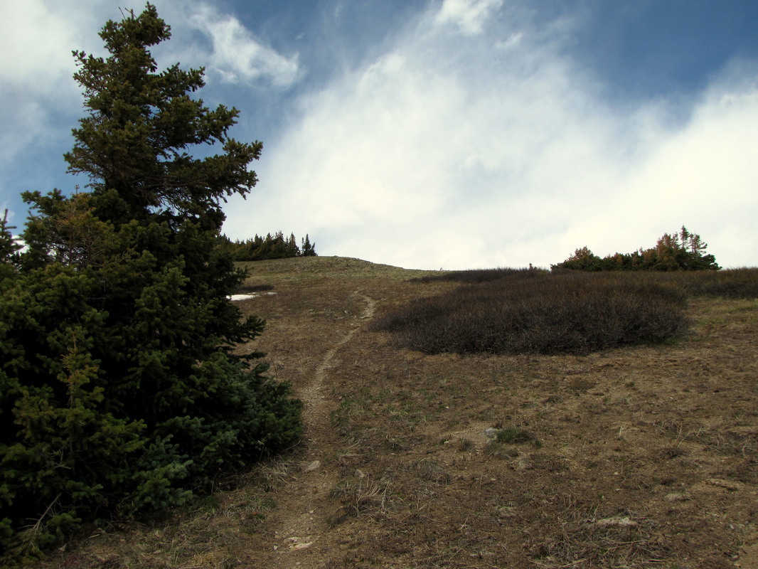
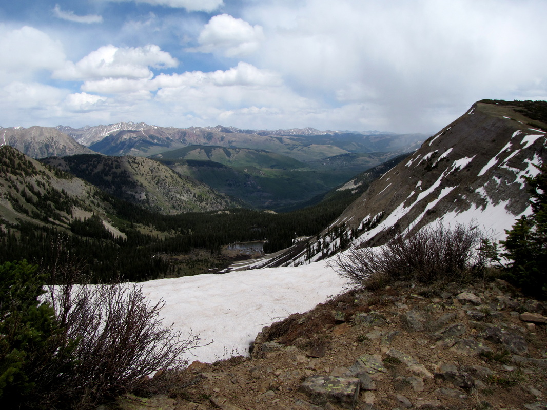
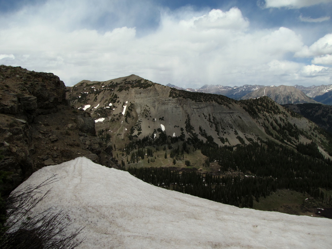
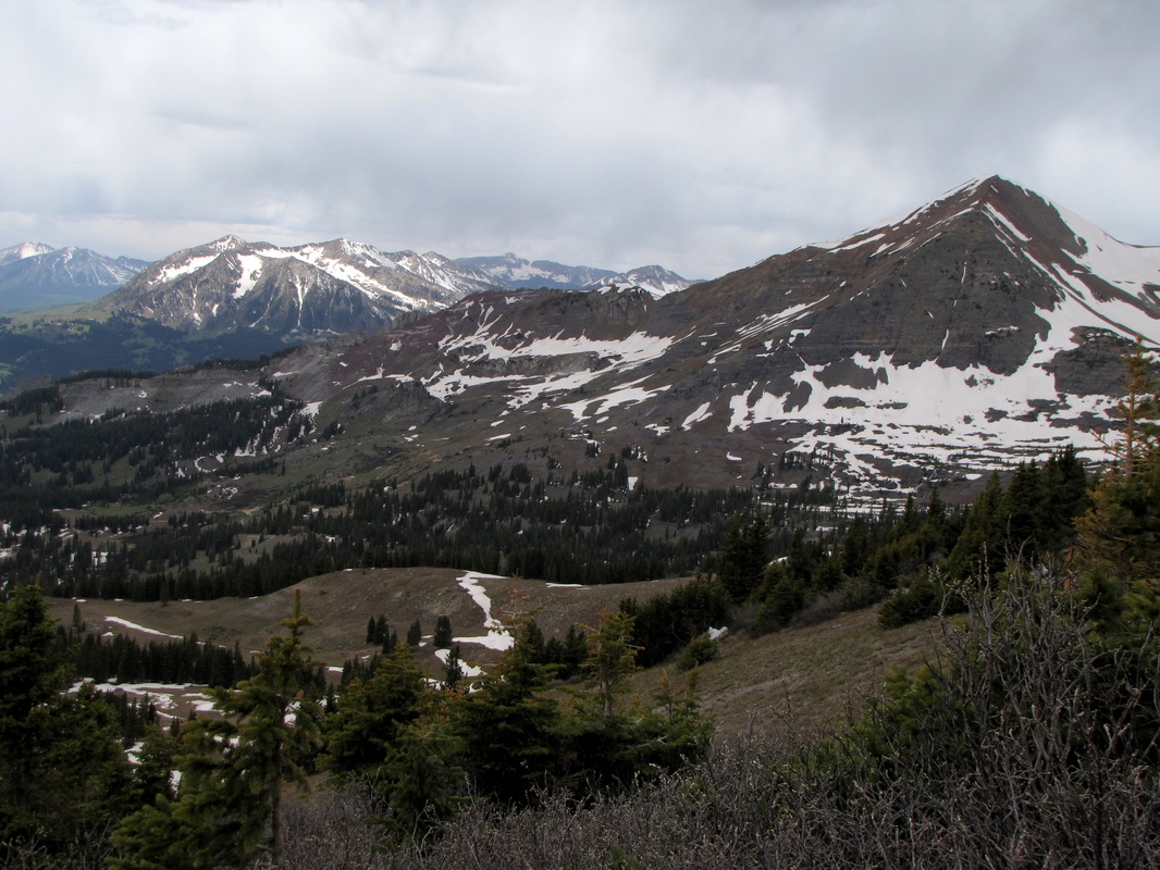
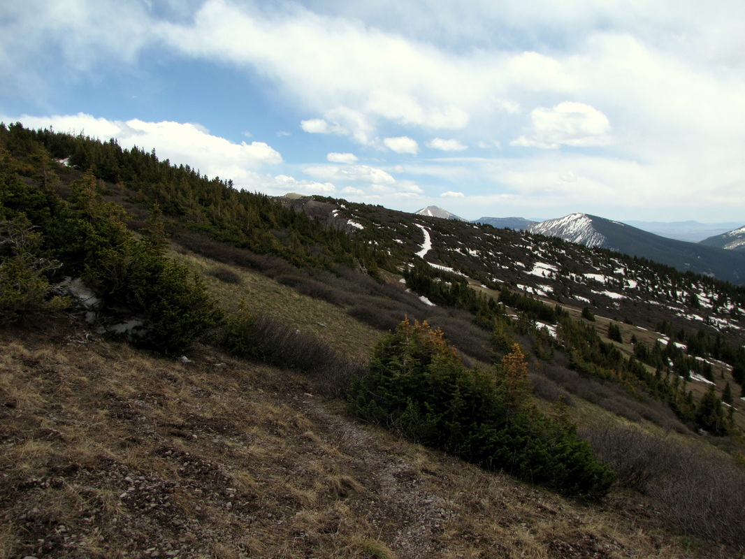
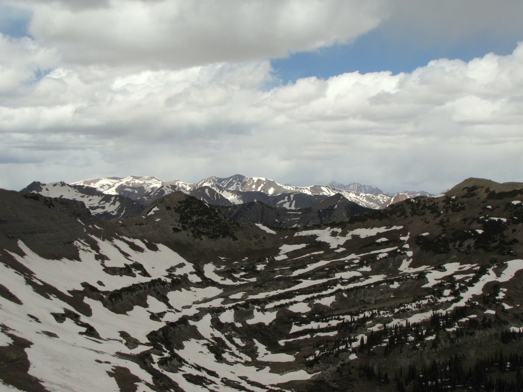
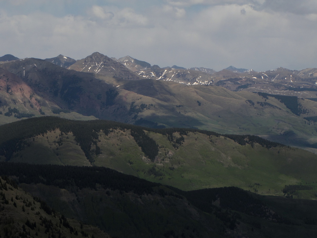
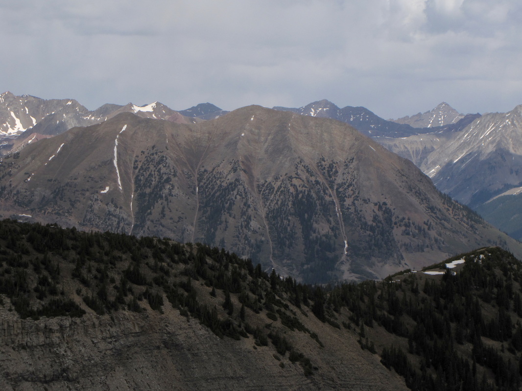
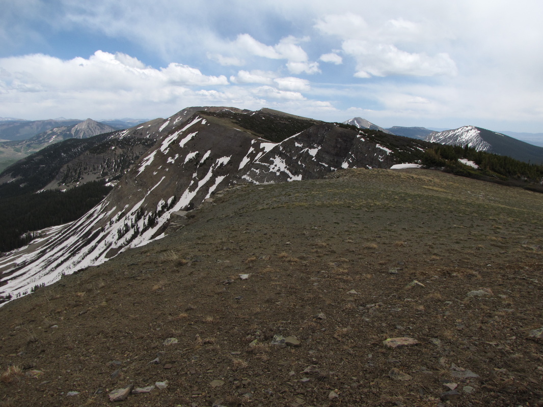
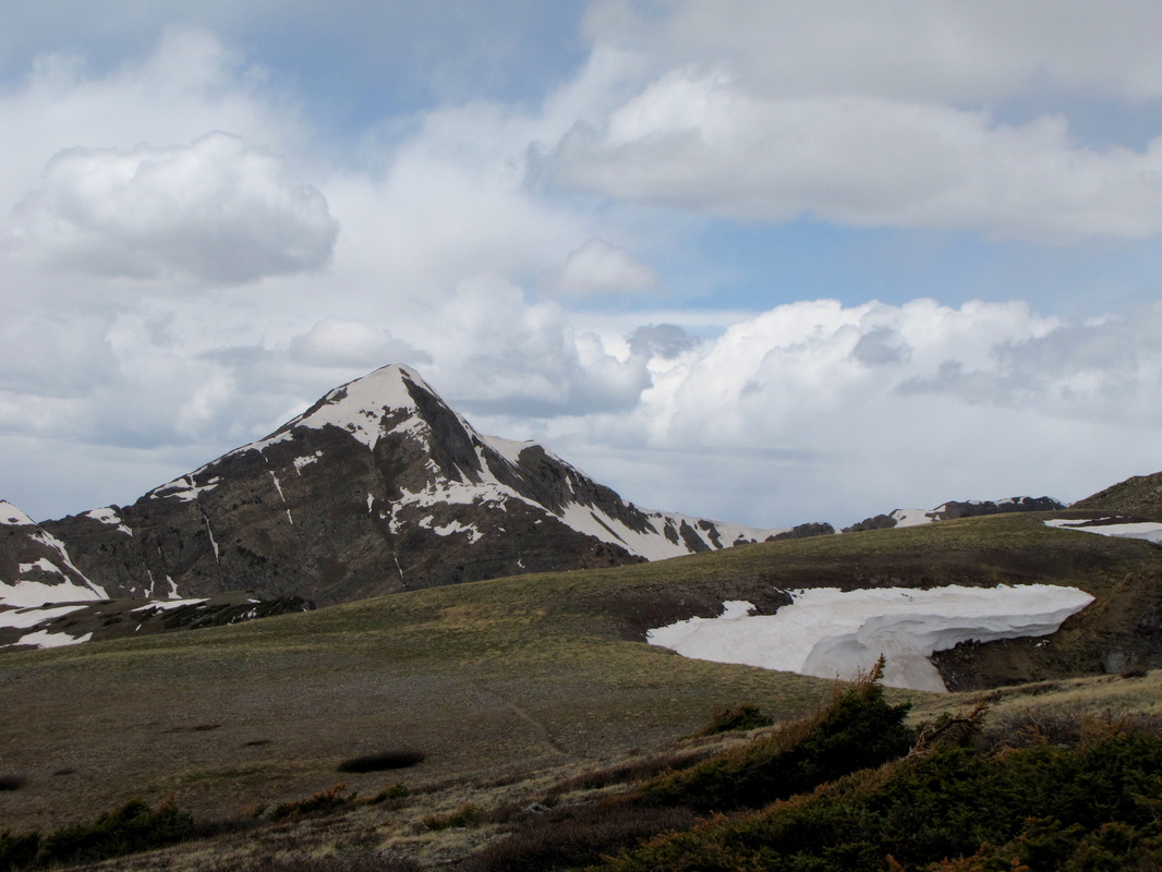
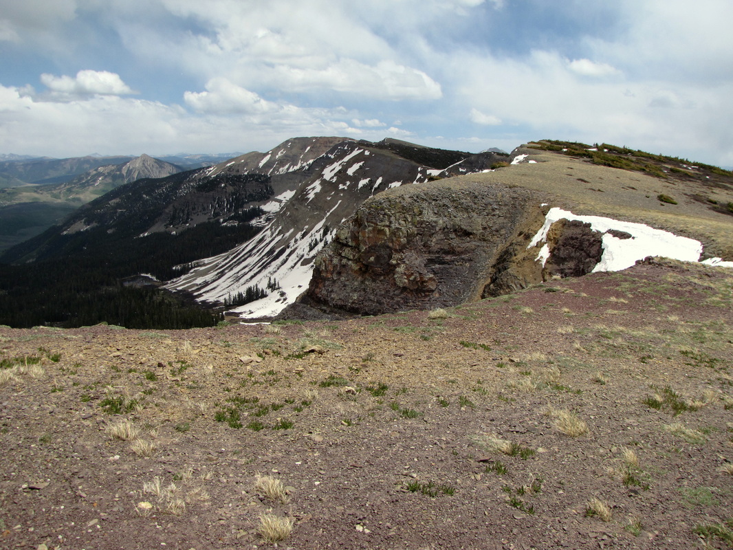
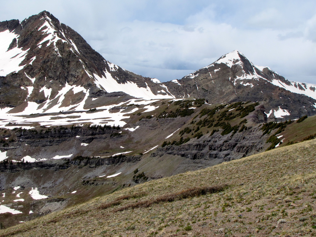
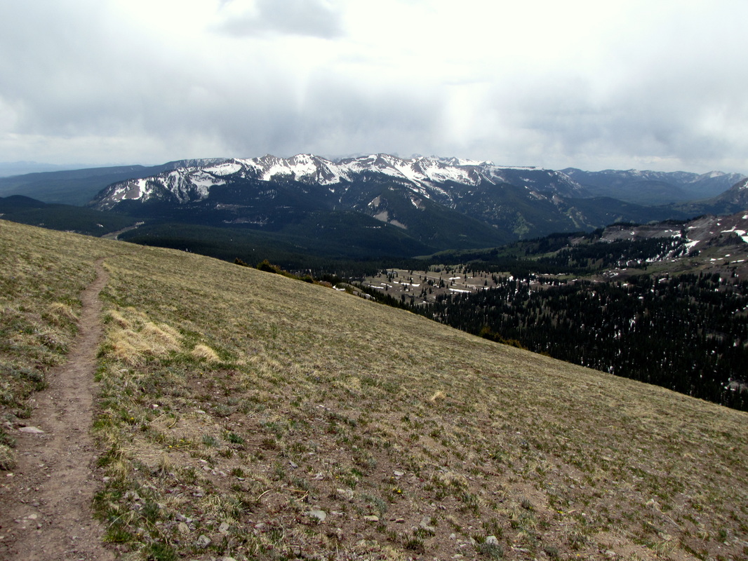
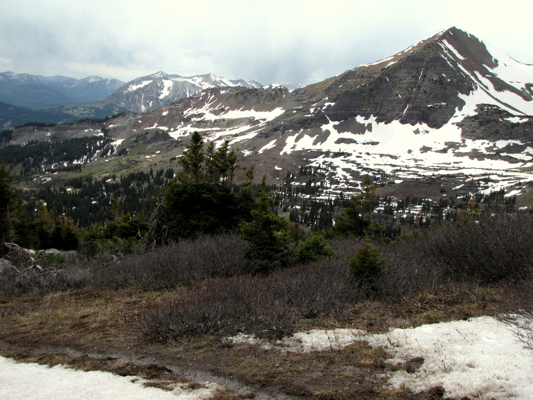
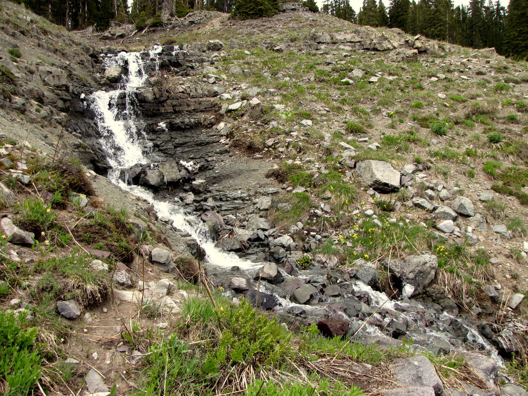
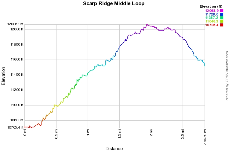
Alternatively, you can park at Lake Irwin and take the trail leading along the NW shore, this trail will take you up to the cabin where this hike starts. I do not know the distance, nor elevation gain, but if you don't want to drive, you can hike to the trailhead. This hike is short but steep and it leads to Scarp ridge, you can either go straight out and back to the summit of Scarp Ridge, or you can make a right at the 1st trail junction and turn it into a loop. The trail from the cabin switchbacks up for a little ways before straightening out. The views are almost immediately incredible. You pass through some forested areas but mostly are above treeline. when you get to the 1st trail split, go right. continue up and up following the trail until you reach the ridge. From here you are looking down on the Raggeds Wilderness, again the views are amazing, the Beckwith Mountains are to the south, the Elks between Crested Butte and Aspen to the North. On a clear day you can make out the Maroon Bells, Capital, Pyramid, Castle, and a gazillion other awesome peaks. Follow this trail along the ridge to the North West and soon you will see the summit of Scarp Ridge (your destination). There is a trail junction just before the steep push to the summit, this is the main trail and your way back. Unfortunately for us, once we got to the ridge the weather came in quickly, with the cold blowing snow, we felt it best to hurry back along the main trail instead of pushing on to the summit, disappointing, but not surprising, and even if you don't reach the summit the hike along the ridge should leave you satisfied. |
|