|
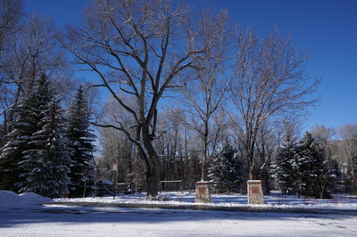
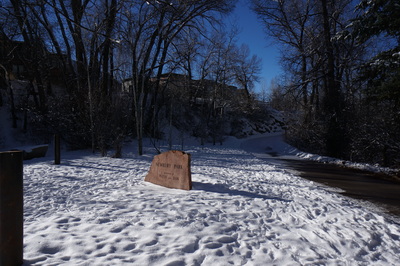
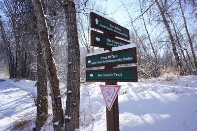
Directions: This hike can start from multiple places along the Rio Grande Trail, however, to start from Herron Park: On Original Street (Hwy 82) in downtown Aspen, go to the "curve" in the street just after downtown. Head down the hill to the bridge that leads to Herron Park.
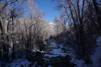
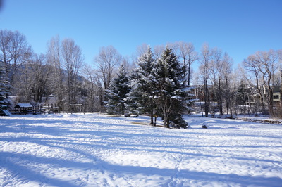
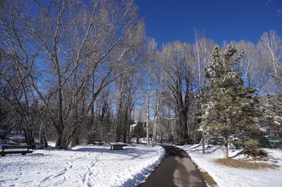
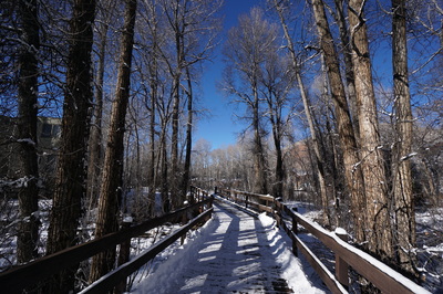
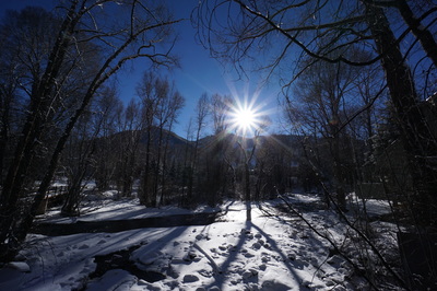
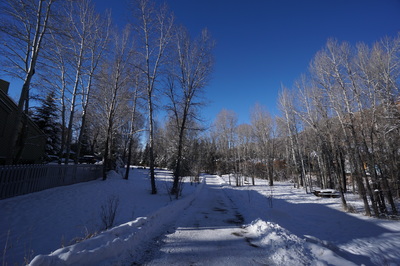
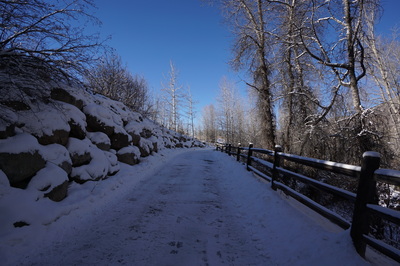
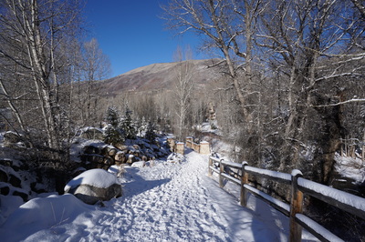
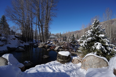
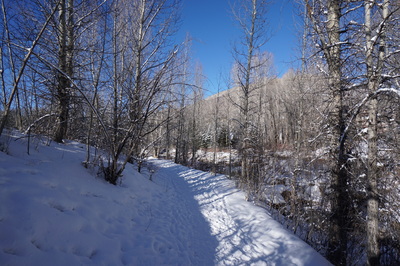
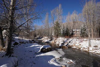
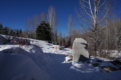
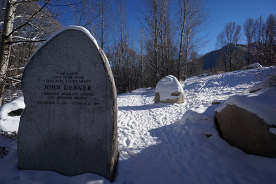
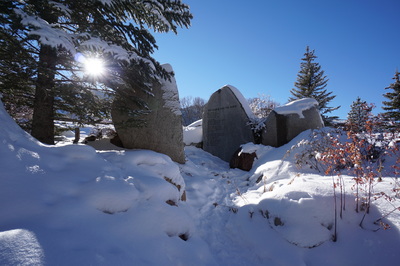
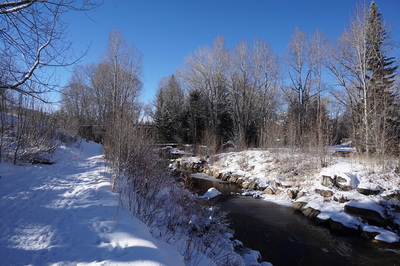
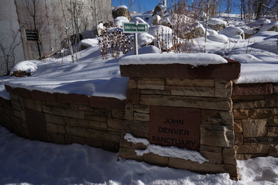
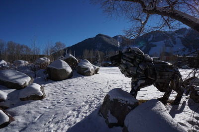
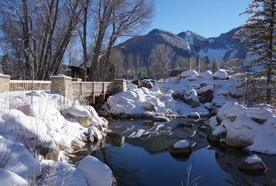
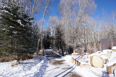
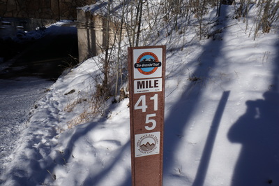
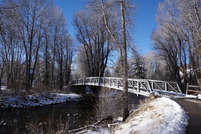
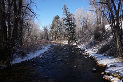
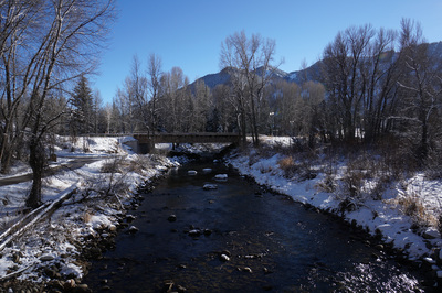
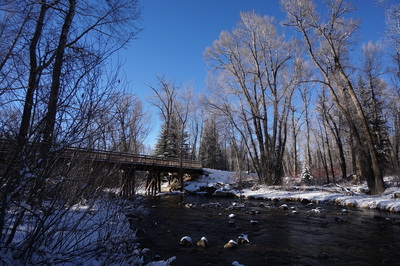
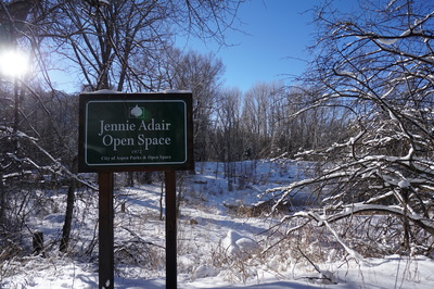
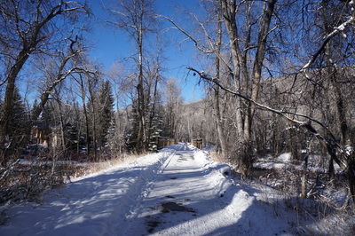
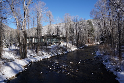
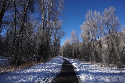
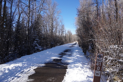
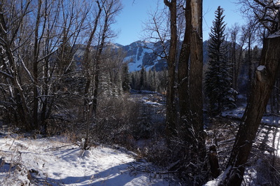
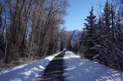
The Rio Grande Trail is a mostly paved walking/biking trail that extends from Glenwood Springs to Aspen. In the winter the trail can also be used for skiing and snowshoeing, in certain areas. The segment that traverses Aspen is particularly beautiful. The trail connects many of Aspen's small open spaces and parks along the Roaring Fork River. The trail is very scenic and leads to various other trails and trailheads.
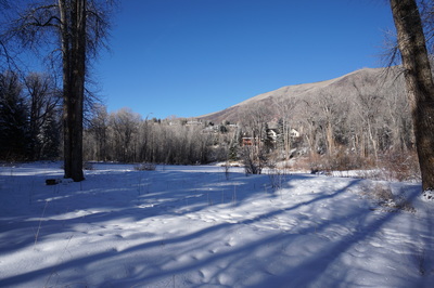
While this is really a walk more than a hike, the beauty of this area makes is worthy of a few hours...especially in the winter. |
- HOME
- ABOUT
-
HIKES BY REGION
-
NATIONAL PARK HIKES
- BENT'S OLD FORT NATIONAL HISTORIC SITE
- BLACK CANYON OF THE GUNNISON NATIONAL PARK
- COLORADO NATIONAL MONUMENT
- CURECANTI NATIONAL RECREATION AREA
- DINOSAUR NATIONAL MONUMENT
- FLORISSANT FOSSIL BEDS NATIONAL MONUMENT
- MESA VERDE NATIONAL PARK
- ROCKY MOUNTAIN NATIONAL PARK
- GREAT SAND DUNES NATIONAL PARK
- HOVENWEEP NATIONAL MONUMENT
- SAND CREEK MASSACRE NATIONAL HISTORIC SITE
- YUCCA HOUSE NATIONAL MONUMENT
- HIKES BY CATEGORY
- NEWS
- WEBCAMS
- $UPPORT GHC
- INTERACTIVE MAP
Rio Grande Trail
Aspen (Herron Park to Hunter Creek Trailhead)
Date Hiked: December 13, 2015
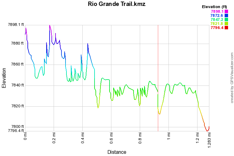
Distance: 1.2 mi (One Way)
Elevation Gain: 200ft
Elevation Min/Max: 7,796 to 7,898 ft
Trailhead Lat/Long: 39º 11' 23" N; 106º 48' 49" W
Managing Agency: Pitkin County Open Space & Trails
Fee: None

