|
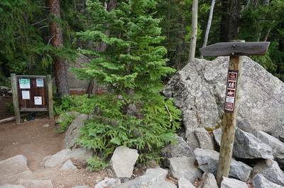
Directions: The trailhead is off of Hwy 82 east of Aspen, between Aspen and Independence Pass. The trailhead is located across from the Weller Campground and is well signed.
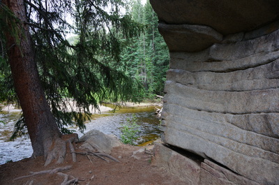
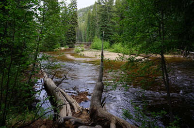
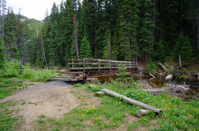
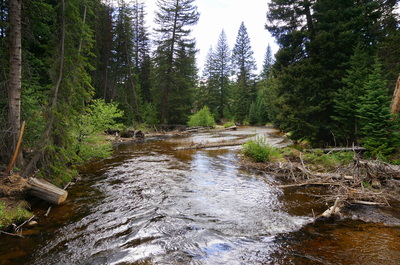
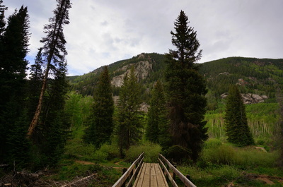
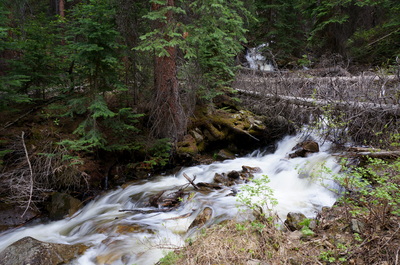
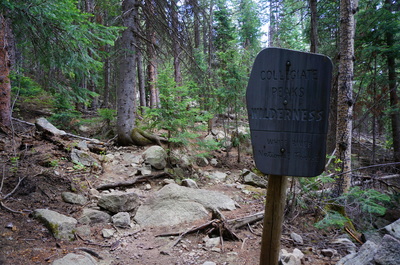
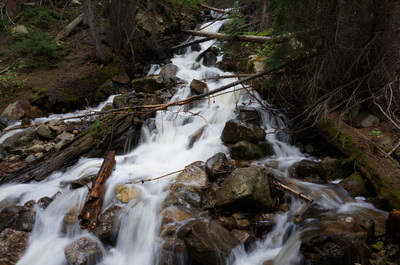
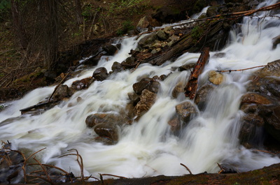
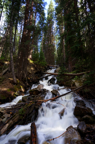
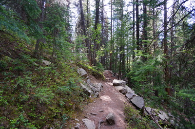
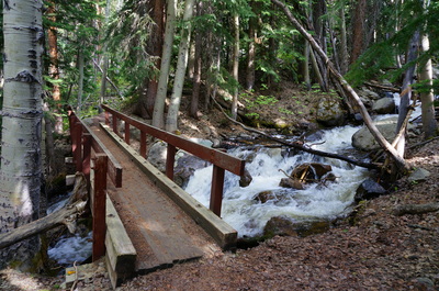
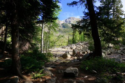
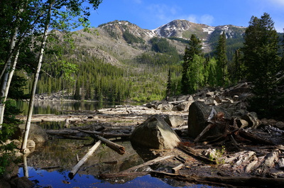
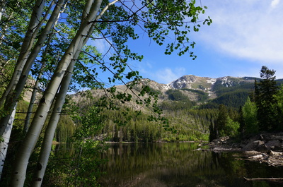
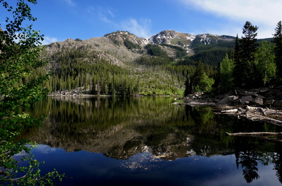
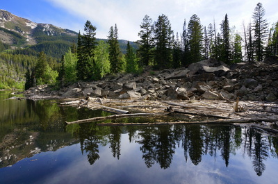
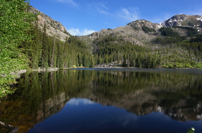
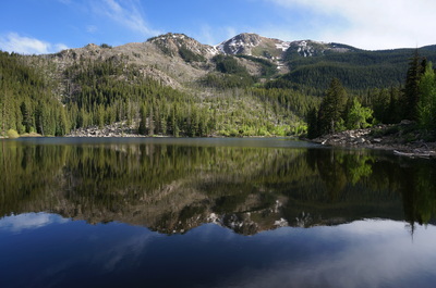
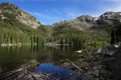
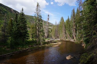
This short hike has it all, beautiful forest, a cascading waterfall, and the destination is a pristine alpine lake. From the trailhead, follow the Roaring Fork River to the bridge crossing. On the other side of he bridge make a right on the Weller Lake trail where you enter the wilderness area. The remainder of the trail consists of switchbacks up to the lake but make sure you take the short diversion mid way up the trail to a cascading waterfall that could be a worthy destination on its own. Once you break through the trees to the lake, you can explore the shores, rocky as they are. This is a great hike for kids as it's short but the payoffs are exciting. As a side note, I tried to camp at the Weller Campground across the road but as I was paying my fee at the self service kiosk, I was persuaded otherwise by a big old black bear. I watched as the bear tore into a car parked at one of the campgrounds. Although I tried to scare it off, there was no moving this bear. This serves as a reminder to never leave food in your car at a campground. It's a very unfortunate situation for both the campers and the bear, here are some pics... |
- HOME
- ABOUT
-
HIKES BY REGION
-
NATIONAL PARK HIKES
- BENT'S OLD FORT NATIONAL HISTORIC SITE
- BLACK CANYON OF THE GUNNISON NATIONAL PARK
- COLORADO NATIONAL MONUMENT
- CURECANTI NATIONAL RECREATION AREA
- DINOSAUR NATIONAL MONUMENT
- FLORISSANT FOSSIL BEDS NATIONAL MONUMENT
- MESA VERDE NATIONAL PARK
- ROCKY MOUNTAIN NATIONAL PARK
- GREAT SAND DUNES NATIONAL PARK
- HOVENWEEP NATIONAL MONUMENT
- SAND CREEK MASSACRE NATIONAL HISTORIC SITE
- YUCCA HOUSE NATIONAL MONUMENT
- HIKES BY CATEGORY
- NEWS
- WEBCAMS
- $UPPORT GHC
- INTERACTIVE MAP
Weller Lake
Collegiate Peaks Wilderness
White River National Forest
Date Hiked: June 16, 2013
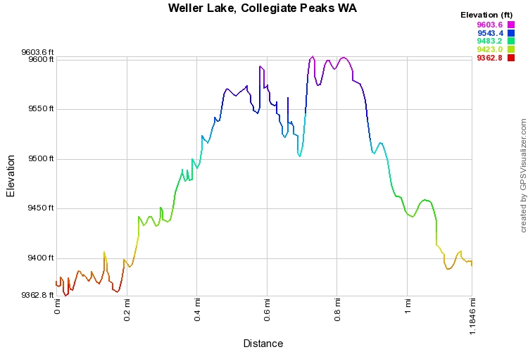
Distance: 1.2 mi (RT)
Elevation Gain: 300ft
Elevation Min/Max: 9,363 to 9,604ft
Trailhead Lat/Long: 39.119559º N; 106.722465º W
Managing Agency: U.S. Forest Service
Fee: None

