|
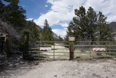
DIRECTIONS: From Highway 285 in Nathrop, head west on County Road 162 (Chalk Creek Drive) following signs to the Mt. Princeton Hot Springs Resort. Drive past the resort and turn left on County Road 290. Follow 290 and continue straight when it turns into a good dirt road. Follow it until it dead-ends at the gate for the Chalk Creek Grade Historic Trail.
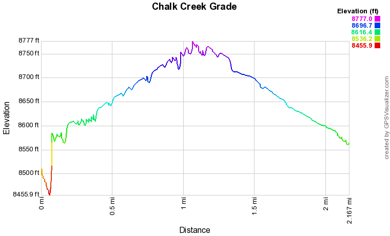
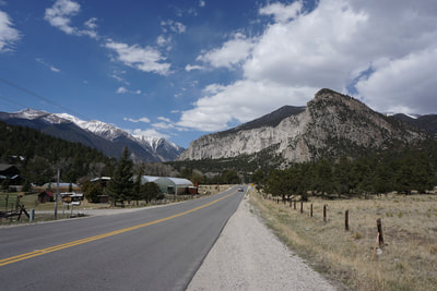
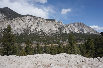
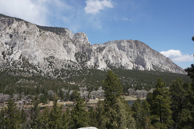
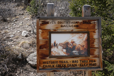
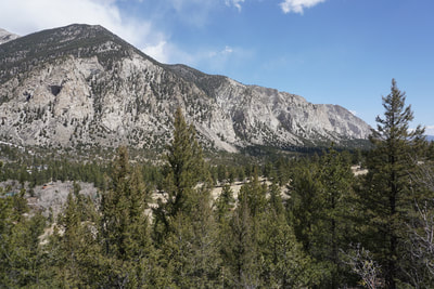
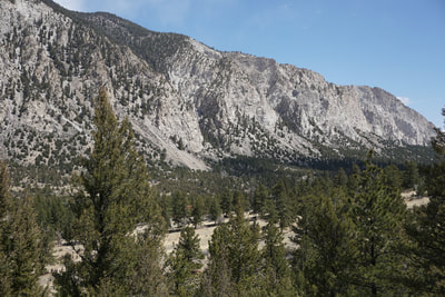
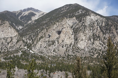
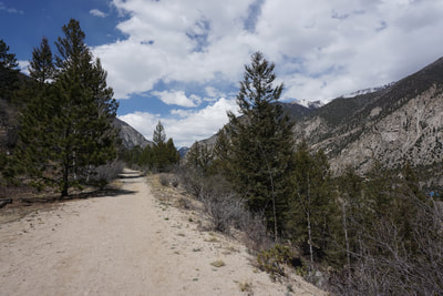
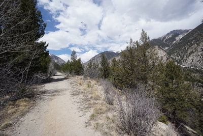
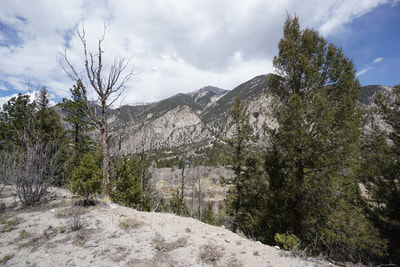
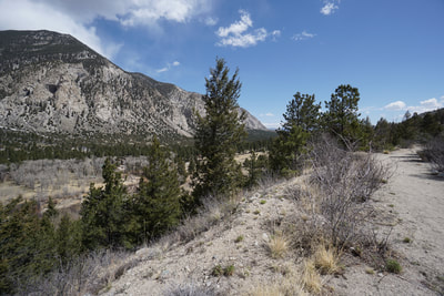
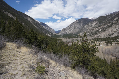
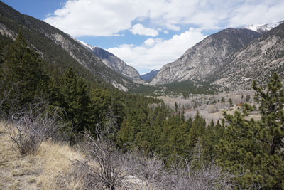
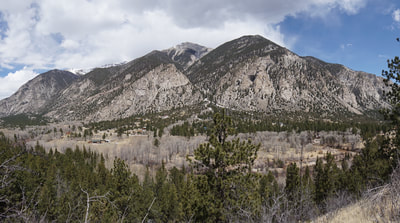
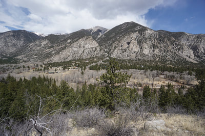
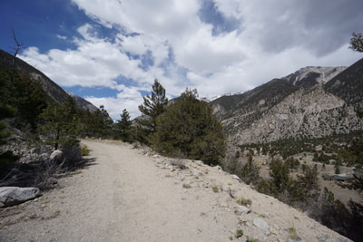
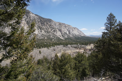
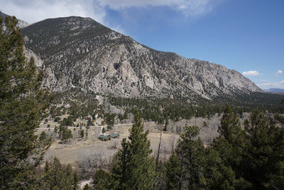
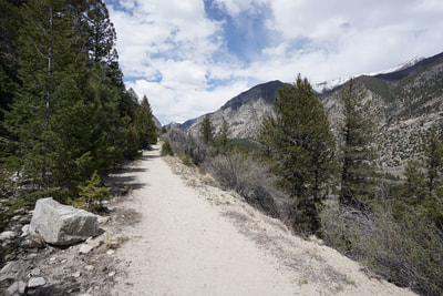
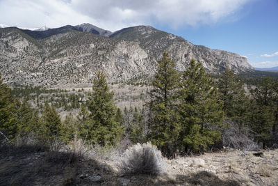
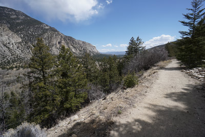
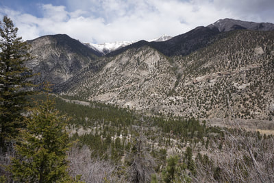
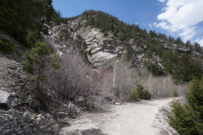
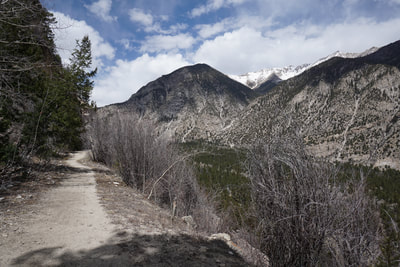
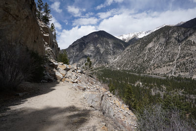
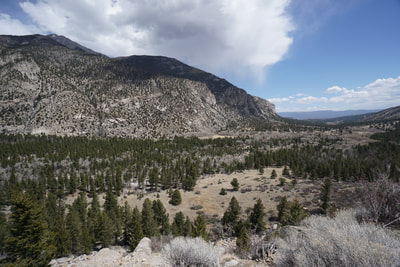
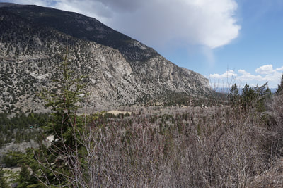
The Chalk Creek Grade Historic Trail is also know as the Narrow Gauge Trail, though I've been unable to find any official naming of this trail. The trail follows the old Chalk Creek Grade for the Denver South Park & Pacific Railroad. The trail is relatively flat and follows Chalk Creek through a beautiful canyon nested in between 14ers Mt. Princeton and Mt. Antero. This trail is perfect for an easy hike with wonderful scenery and views of a highly unique geological wonder, the Chalk Cliffs. The Chalk Cliffs are magnificent and tower high above Chalk Creek. However, there are few hiking trails available to experience this wonder. One of the best ways to view the Chalk Cliffs is to hike the Historic Trail.
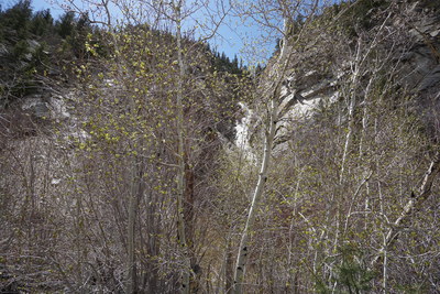
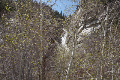
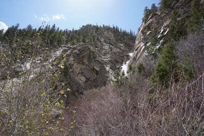
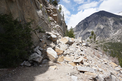
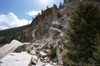
From the trailhead, the hike heads west, the views are immediately incredible. As you hike up the canyon your views of the Chalk Cliffs diminish but your views of Mt. Princeton and Tiger Peak across the valley get better and better. At just about the 1 mile mark, you'll notice a cascading waterfall hidden by Aspen Trees. This waterfall is frozen late into the season. Just past the waterfall is a large and dangerous rock slide. This slide happened a few years ago, and can be climbed over. However, the source rock of the slide looks sketchy at best and not all the fallen rocks are steady. I can't in good conscience recommend crossing the rock slide to continue hiking the trail. Better safe then sorry, enjoy the 2 mi (RT) hike and head back to the trailhead. For more views of the Chalk Cliffs, I also recommend hiking the first park of the Colorado Trail Segment 14 which starts from County Road 290 and heads south. For more on this trail click...here. |
- HOME
- ABOUT
-
HIKES BY REGION
-
NATIONAL PARK HIKES
- BENT'S OLD FORT NATIONAL HISTORIC SITE
- BLACK CANYON OF THE GUNNISON NATIONAL PARK
- COLORADO NATIONAL MONUMENT
- CURECANTI NATIONAL RECREATION AREA
- DINOSAUR NATIONAL MONUMENT
- FLORISSANT FOSSIL BEDS NATIONAL MONUMENT
- MESA VERDE NATIONAL PARK
- ROCKY MOUNTAIN NATIONAL PARK
- GREAT SAND DUNES NATIONAL PARK
- HOVENWEEP NATIONAL MONUMENT
- SAND CREEK MASSACRE NATIONAL HISTORIC SITE
- YUCCA HOUSE NATIONAL MONUMENT
- HIKES BY CATEGORY
- NEWS
- WEBCAMS
- $UPPORT GHC
- INTERACTIVE MAP
Chalk Creek Grade Historic Trail
San Isabel National Forest
Date Hiked: April 28, 2018
Distance: 2 mi (RT)
Elevation Gain: 300 ft
Elevation Min/Max: 8,456 to 8,777 ft
Trailhead Lat/Long: 38º 42' 39" N; 106º 12' 12" W
Managing Agency: U.S. Forest Service
Fee: None

