|
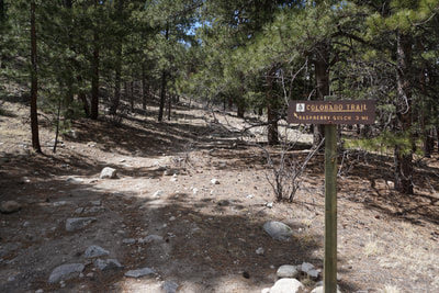
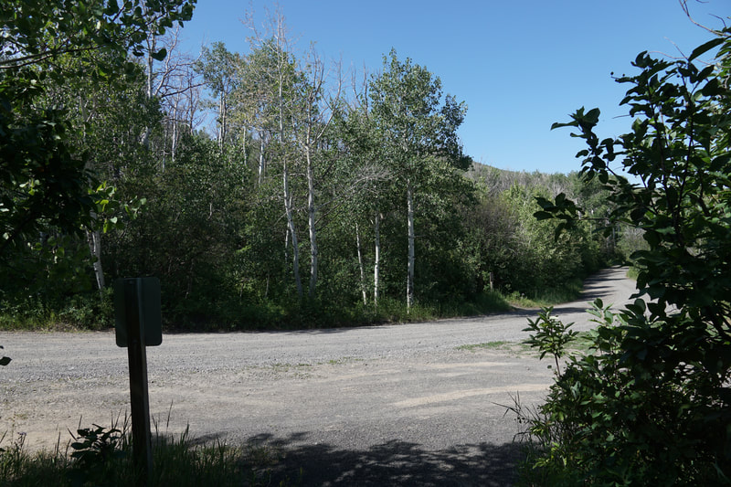
DIRECTIONS: From Highway 285 in Nathrop, head west on County Road 162 (Chalk Creek Drive) following signs to the Mt. Princeton Hot Springs Resort. Drive past the resort and turn left on County Road 290. Follow 290 and continue straight when it turns into a good dirt road. Just before you reach the gate at the end of the road, you'll see a small trail sign for the Colorado Trail. There are a few places off the road for parking.
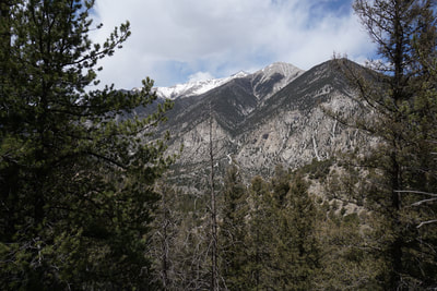
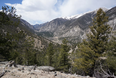
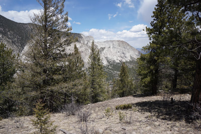
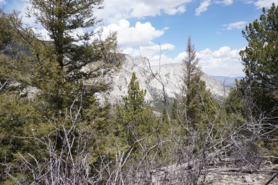
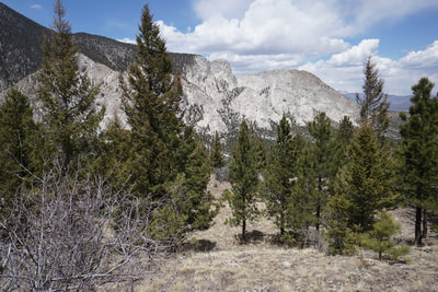
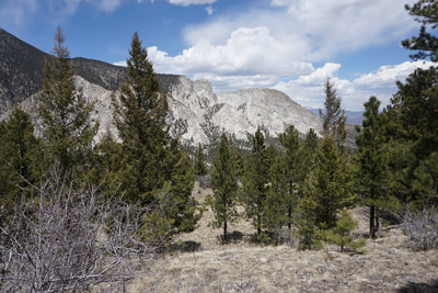
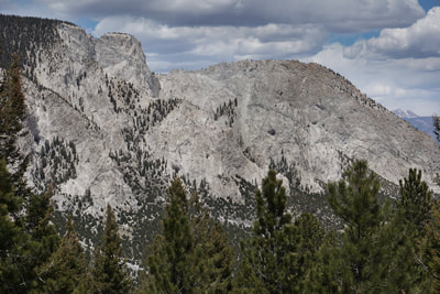
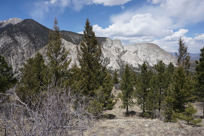
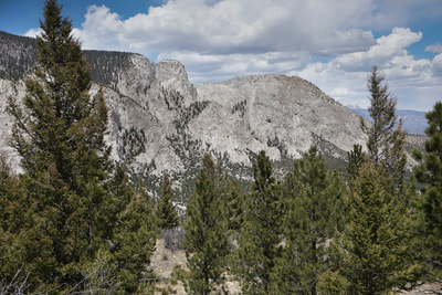
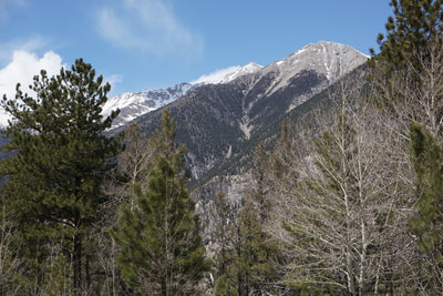
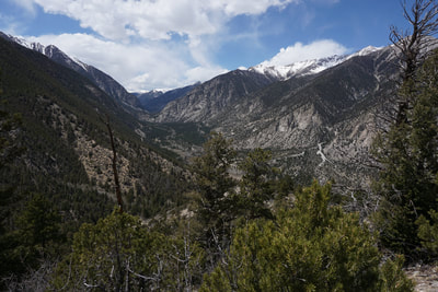
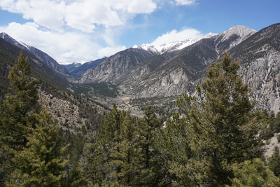
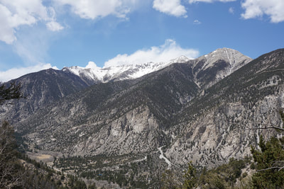
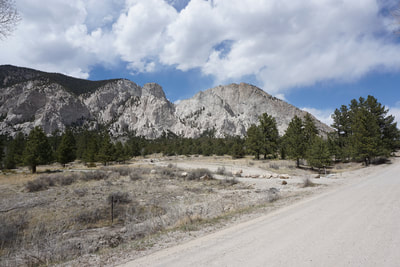
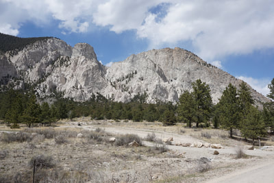
Segment 14 of the Colorado Trail starts at the Chalk Creek TH and climbs up to the trailhead on County Road 290, which is a great place to start a short but strenuous hike up to a tree covered ridge with great views of Chalk Creek Canyon, Mt. Princeton, and the Chalk Cliffs. The main attraction of this hike is being able to look down on the Chalk Cliffs, a unique geologic phenomenon on the slopes of Mt. Princeton.
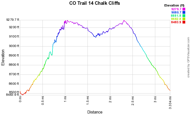
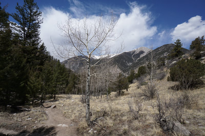
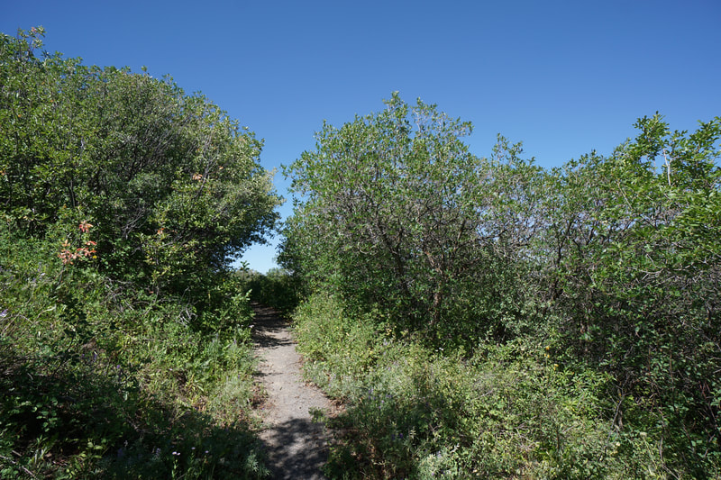
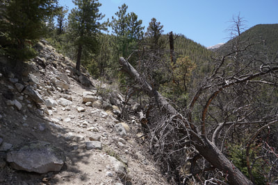
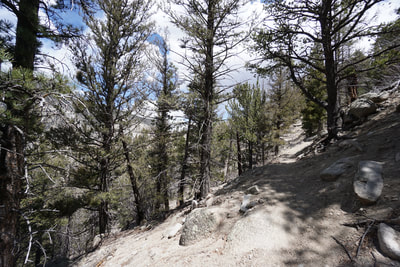
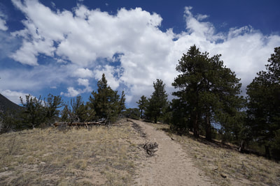
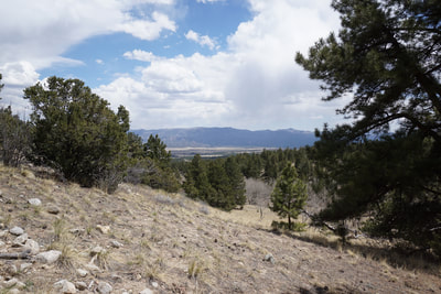
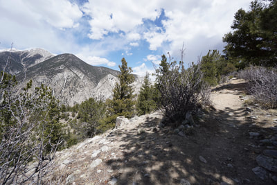
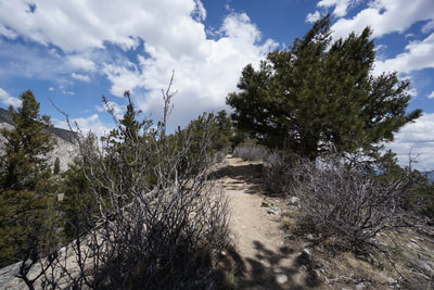
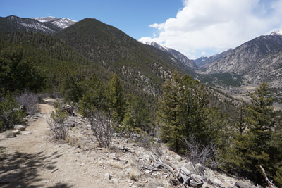
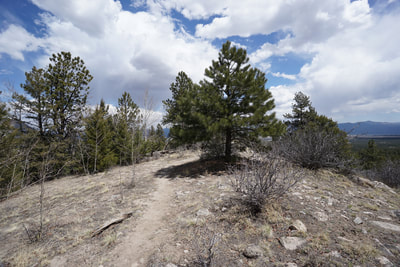
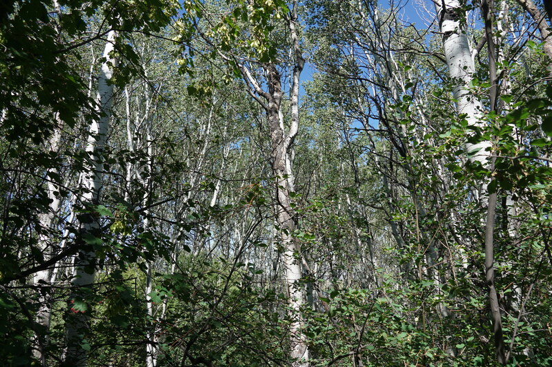
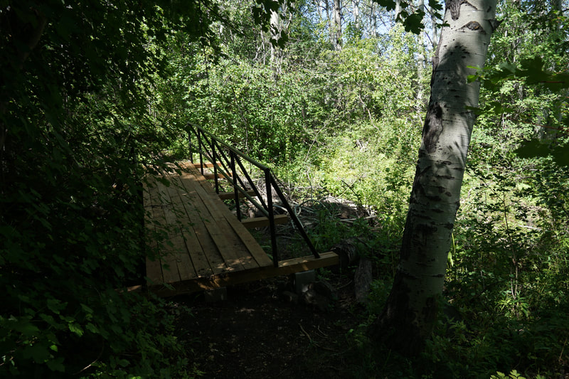
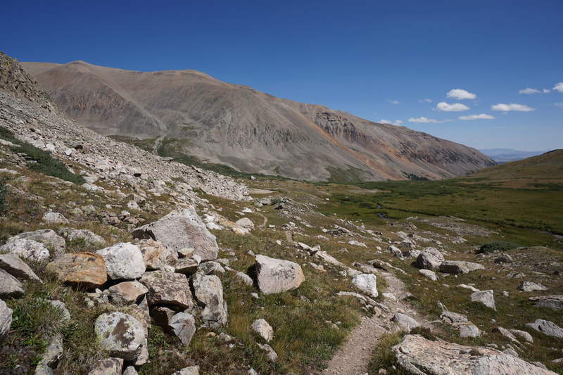
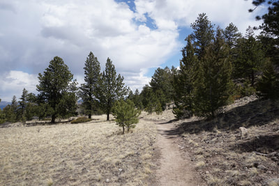
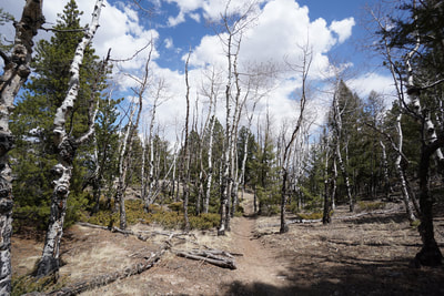
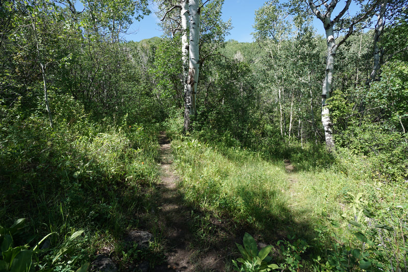
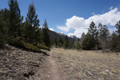
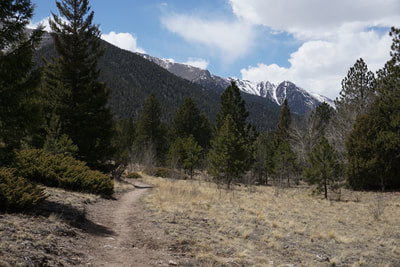
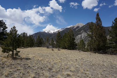
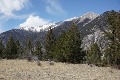
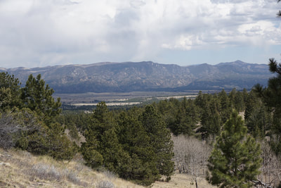
The trail starts off by meandering through pine forest along the northern slopes of Mt. Antero. Soon the trail becomes steep and rocky and doesn't let up until you reach a saddle 1 mile and almost 1,000 ft above the trailhead. Along the way, switchbacks will lead you to wonderful views looking west up Chalk Creek Canyon. Once you reach the saddle the views open up to the south and east towards Browns Canyon National Monument. The saddle also provides wonderful views across the canyon to Mt. Princeton. At the saddle, turn left (east) and continue up along the ridge as the views of Mt. Princeton keep on getting better. Soon you'll reach the summit of the ridge and the trail will start to descend slightly. Continue along the trail and soon you'll be presented with views of the Chalk Cliffs. The Colorado Trail continues it's slight decent as it heads east, paralleling the Chalk Cliffs until it turns to the south. This is a good stopping point for this hike. In order to find the really good views of the Chalk Cliffs, you need to do a bit of bushwhacking. My advice is to stay on the CO Trail along the ridge until you enter the aspen grove (it's obvious). At the aspen grove, break trail and head north towards the next ridge, although this second ridge it also heavily forested, pick your way west along this ridge and keep an eye out for rock outcroppings and viewpoints. This part of the hike is a choose your own adventure, and find your own viewpoint. Keep yourself oriented to the second ridge and remember that the CO Trail is just on the other side of the second ridge and you'll have a hard time getting lost. After you've satisfied your need for scenic views, return to the CO Trail and head back to the saddle and down to the trailhead. After some exploration and returning to the trailhead, you'll have hiked about 3 miles. Short but sweet. |
- HOME
- ABOUT
-
HIKES BY REGION
-
NATIONAL PARK HIKES
- BENT'S OLD FORT NATIONAL HISTORIC SITE
- BLACK CANYON OF THE GUNNISON NATIONAL PARK
- COLORADO NATIONAL MONUMENT
- CURECANTI NATIONAL RECREATION AREA
- DINOSAUR NATIONAL MONUMENT
- FLORISSANT FOSSIL BEDS NATIONAL MONUMENT
- MESA VERDE NATIONAL PARK
- ROCKY MOUNTAIN NATIONAL PARK
- GREAT SAND DUNES NATIONAL PARK
- HOVENWEEP NATIONAL MONUMENT
- SAND CREEK MASSACRE NATIONAL HISTORIC SITE
- YUCCA HOUSE NATIONAL MONUMENT
- HIKES BY CATEGORY
- NEWS
- WEBCAMS
- $UPPORT GHC
- INTERACTIVE MAP
Chalk Cliffs View (CO Trail Seg. 14)
San Isabel National Forest
Date Hiked: April 28, 2018
Distance: 3.3 mi (RT)
Elevation Gain: 1,025 ft
Elevation Min/Max: 8,484 to 9,280 ft
Trailhead Lat/Long: 38º 42' 47" N; 106º 11' 50" W
Managing Agency: U.S. Forest Service
Fee: None

