|
|
|
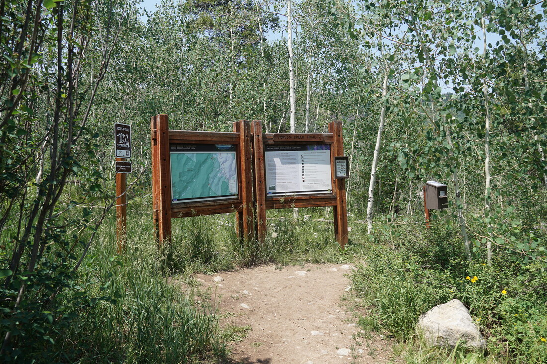
DIRECTIONS: From I-70 west of Vail, head south on Hwy 24, through Minturn for 5 miles to Tigiwon Road. The Cross Creek Trailhead is 1.7 miles up on Tigiwon Road. The road is generally a good dirt road but there may be some rocks and ruts along the way. SUV or 4WD is suggested. This road is closed at the Tigiwon TH from June 21st to November 22nd. If the gate is closed then you need to add 1 mile each way to your hike.
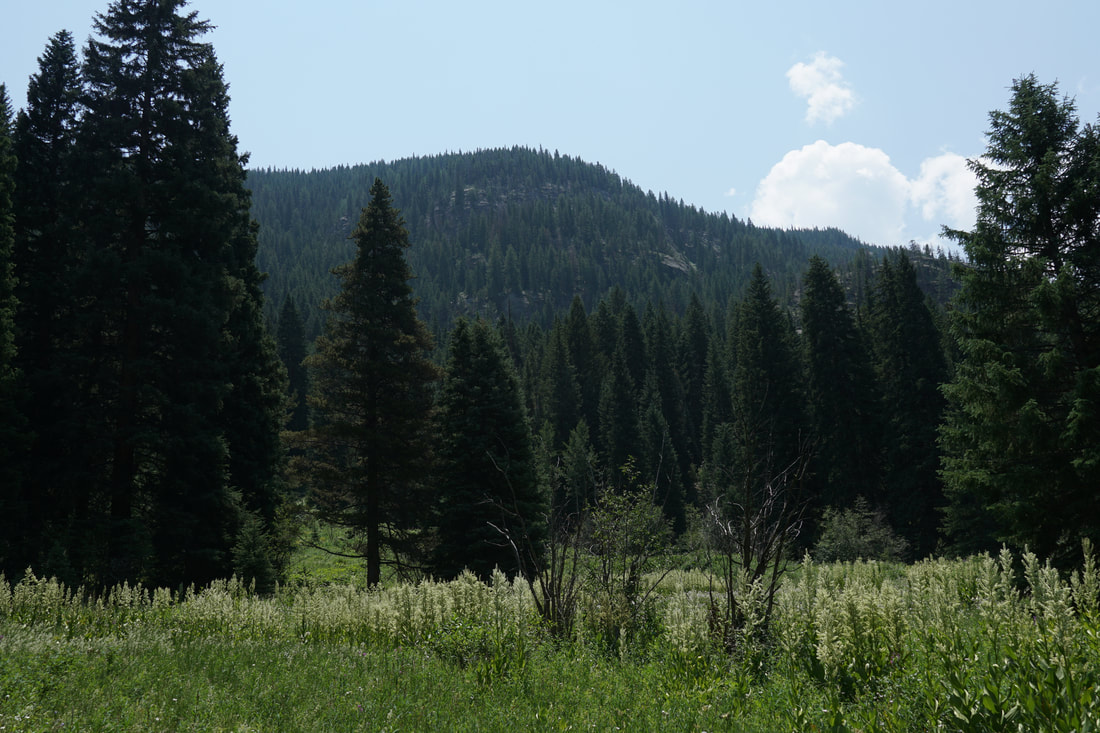
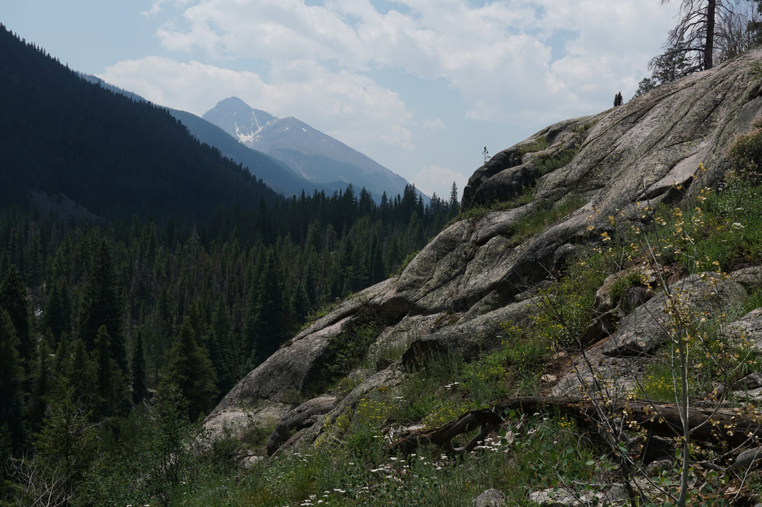
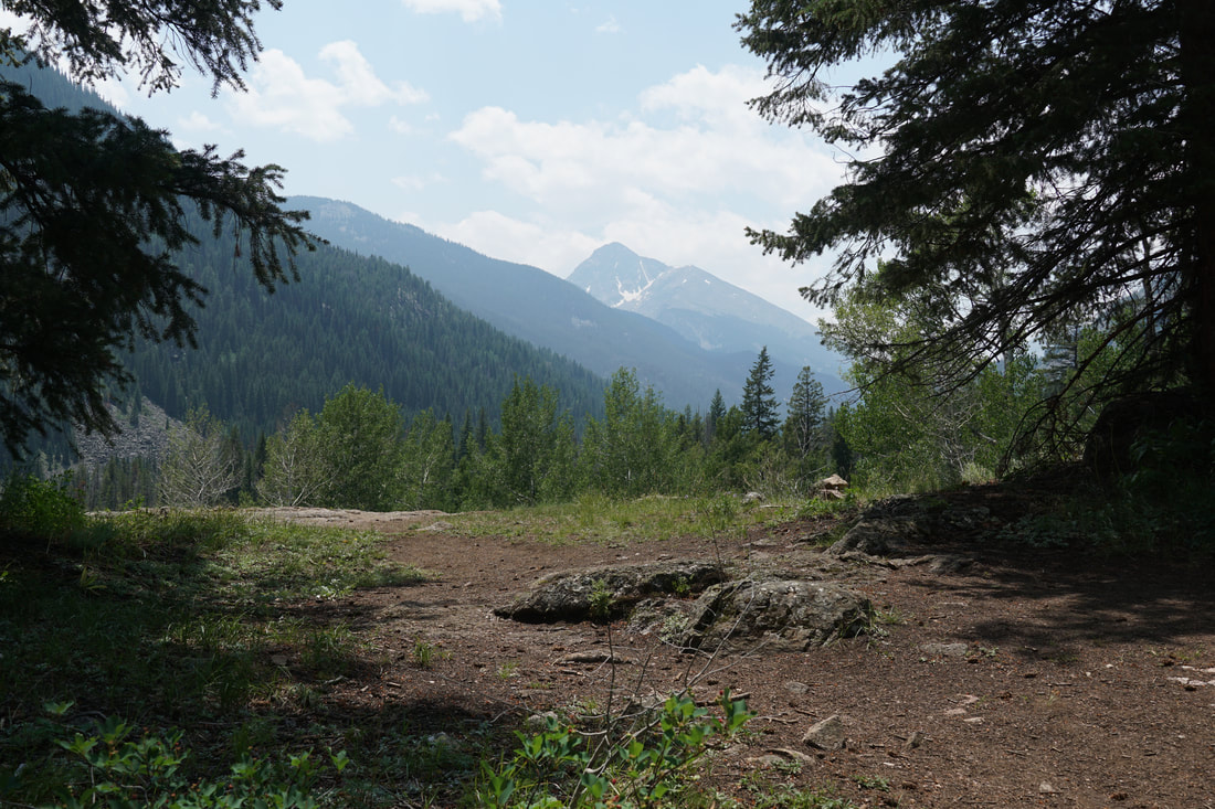
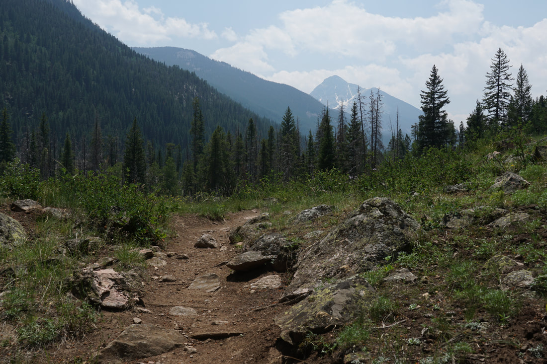
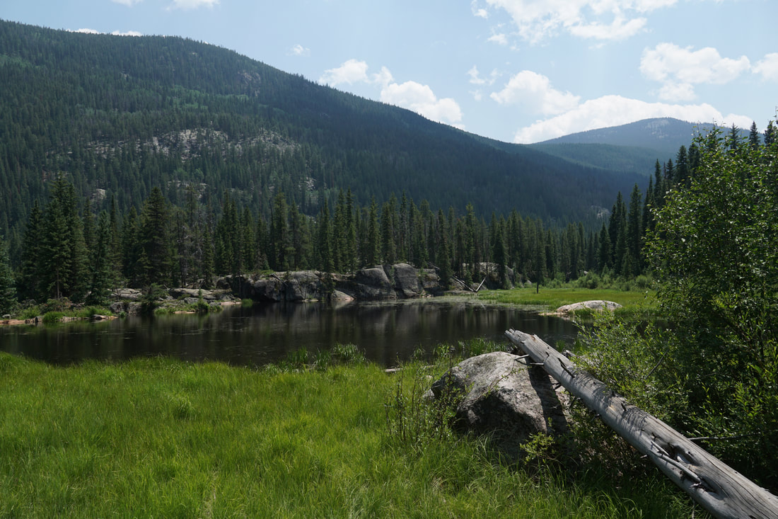
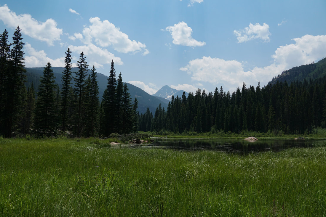
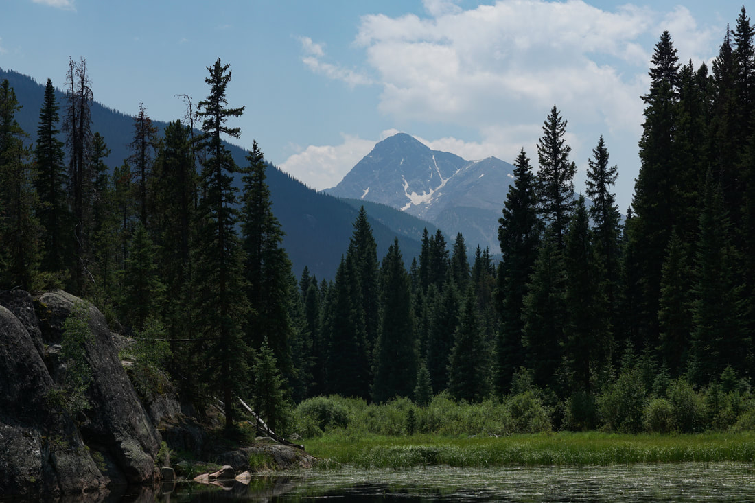
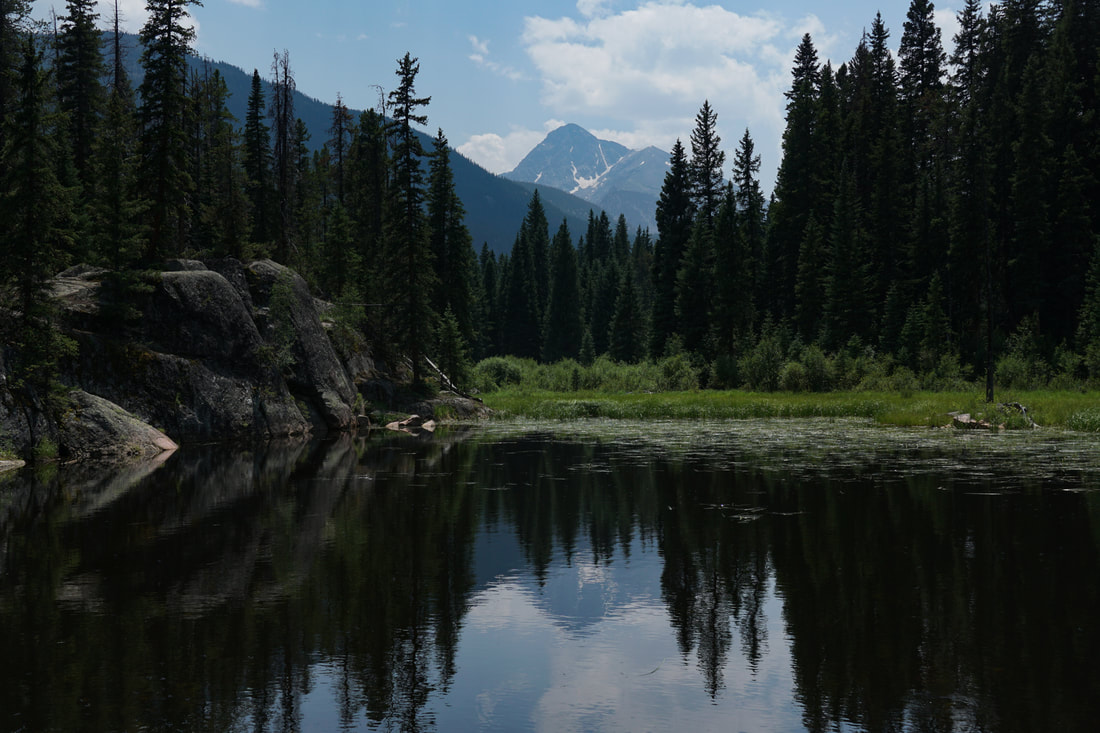
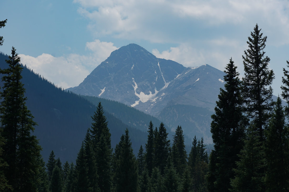
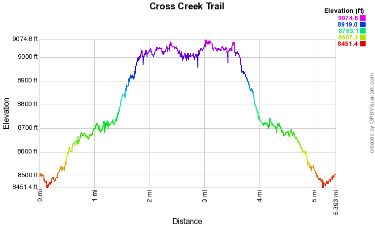
The Cross Creek Trail is an incredibly beautiful hike. From the start, the scenery is stunning. The trail has incredible views, rock formations, cascading rivers, aspen groves, and awesome views of the Mt. of the Holy Cross. The trail is also very long...extending 15 miles to Treasure Vault Lake, deep inside the Holy Cross Wilderness. While the full trail would make for a wonderful backpacking trip, you can enjoy a shorter segment by hiking 2 1/2 miles (each way) to a small but scenic lake that I've seen labeled on some maps as Surprise Lake.
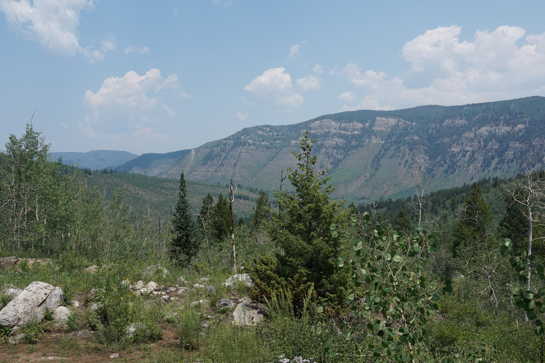
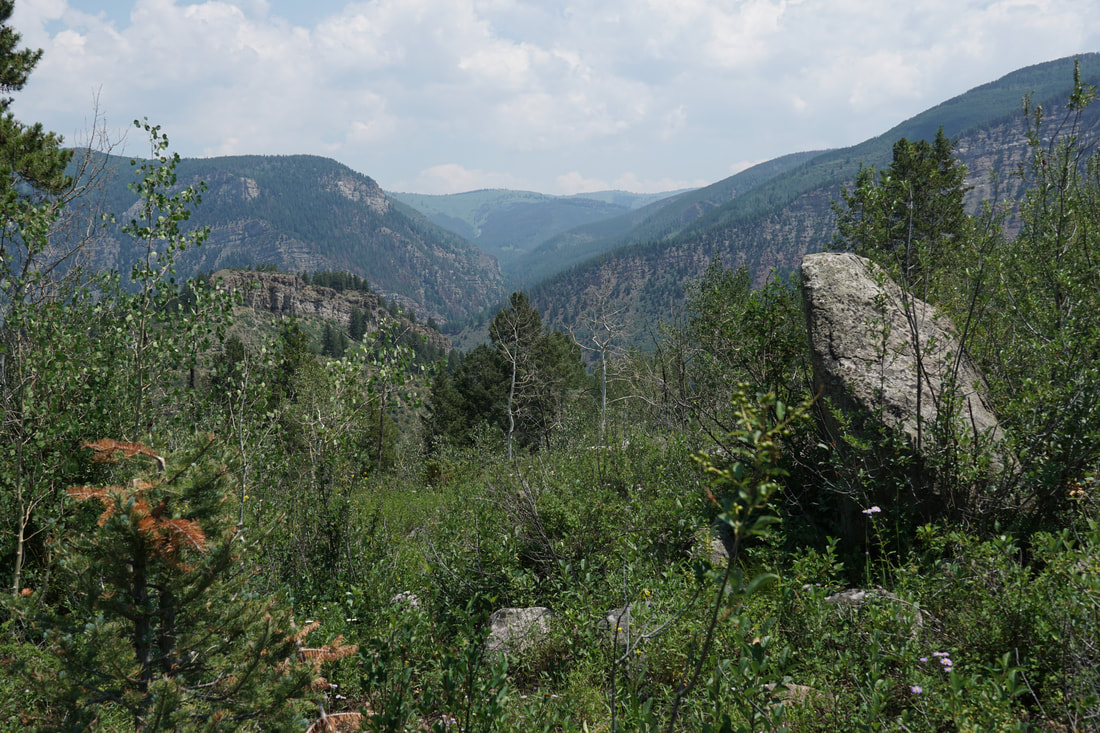
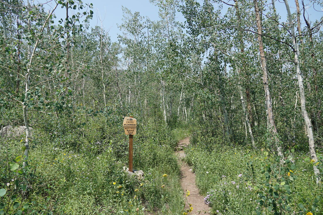
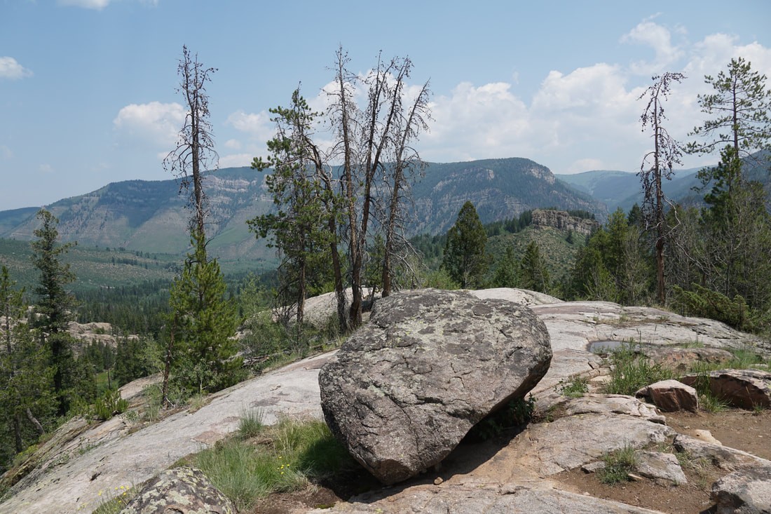
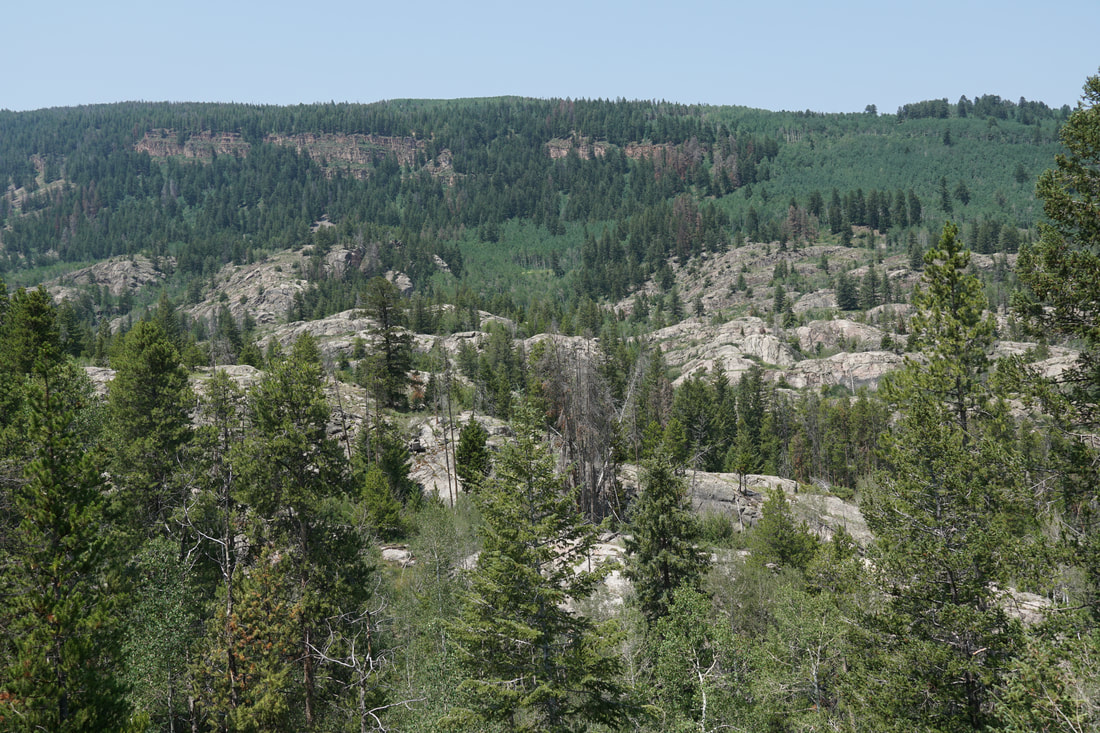
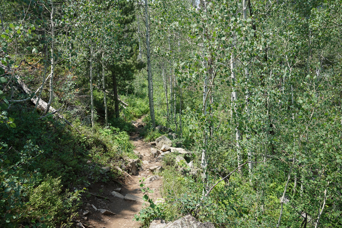
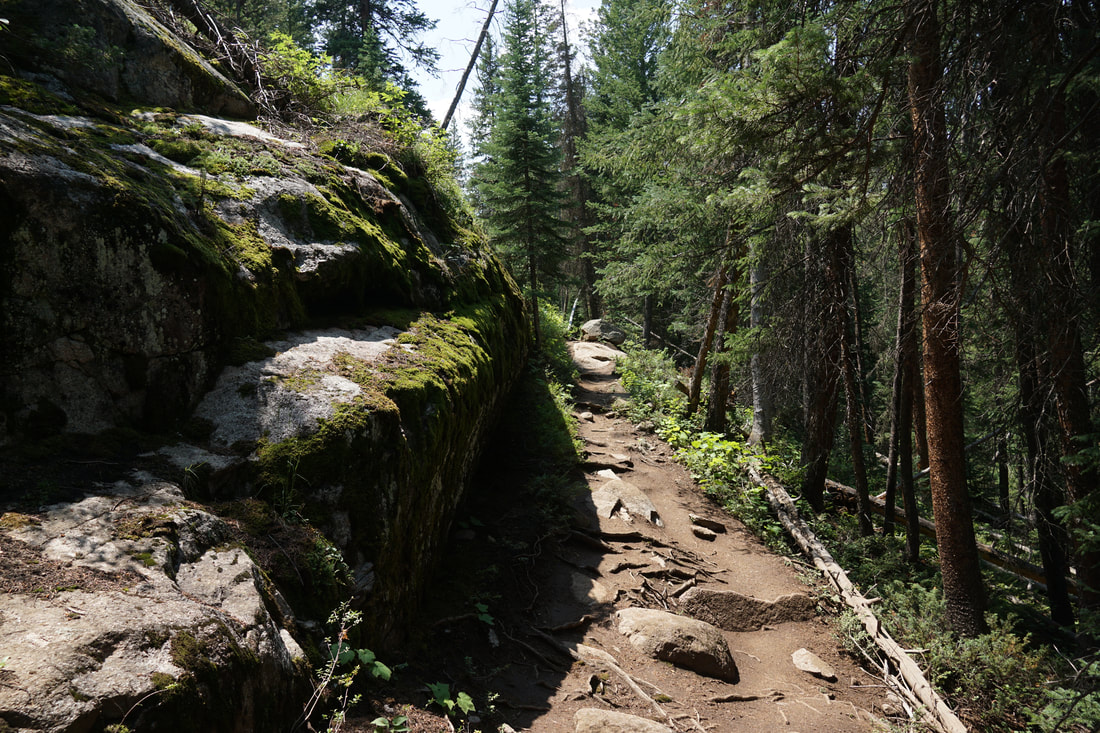
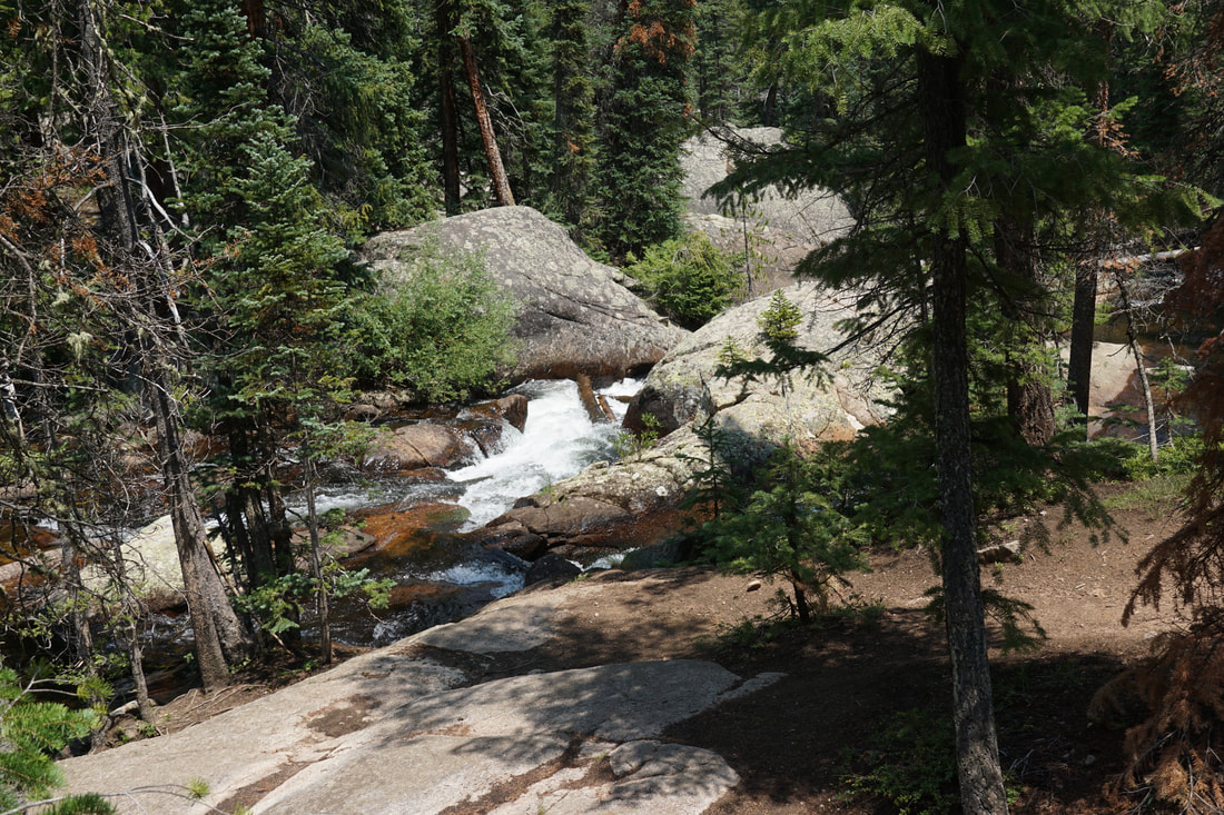
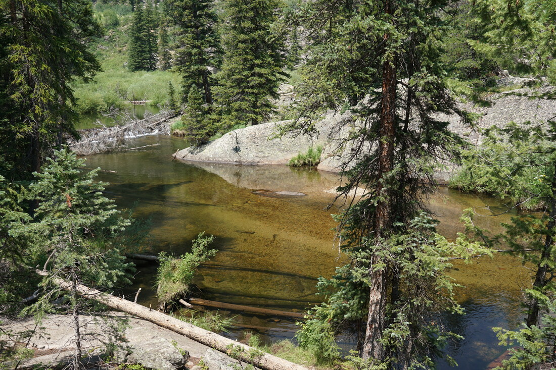
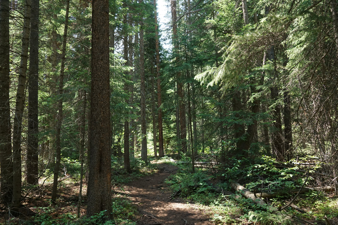
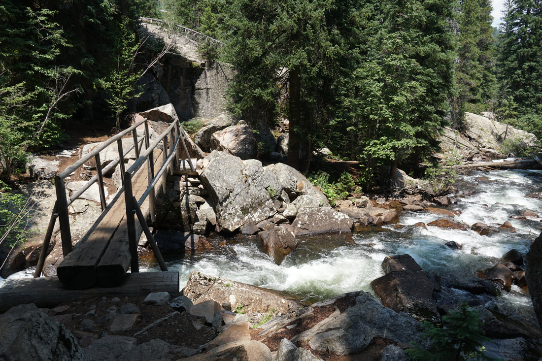
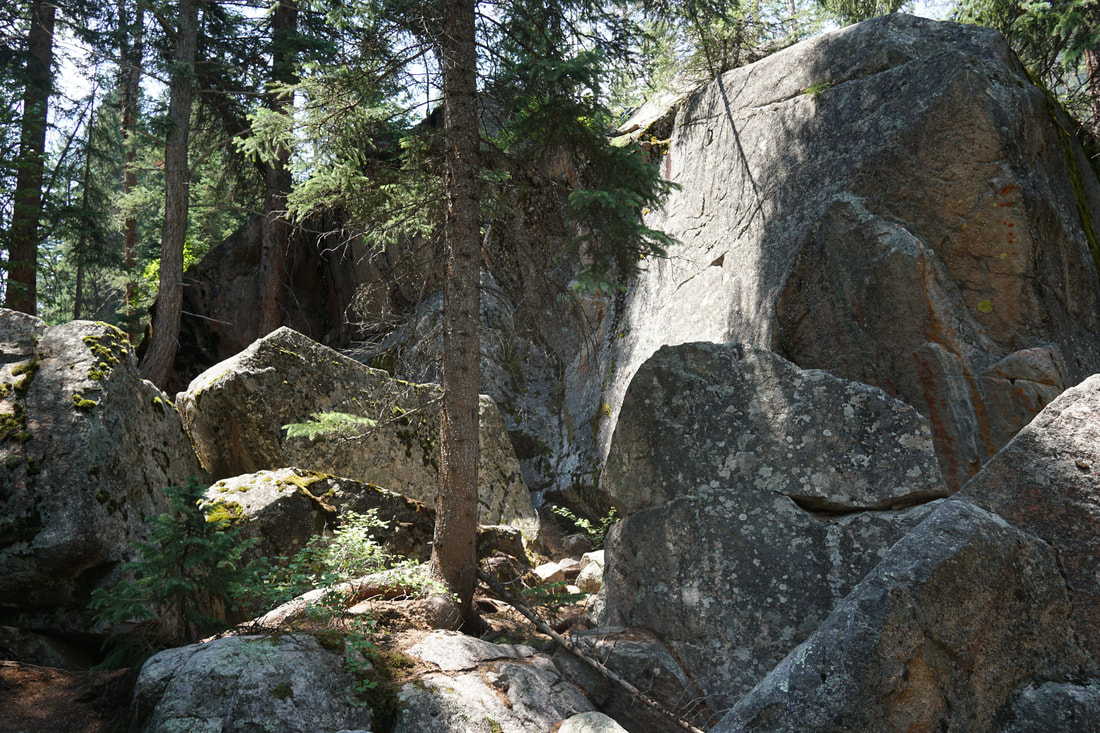
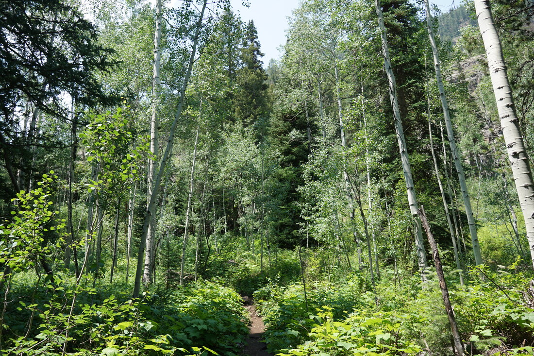
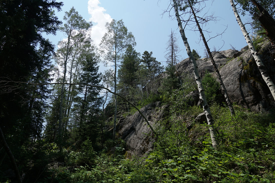
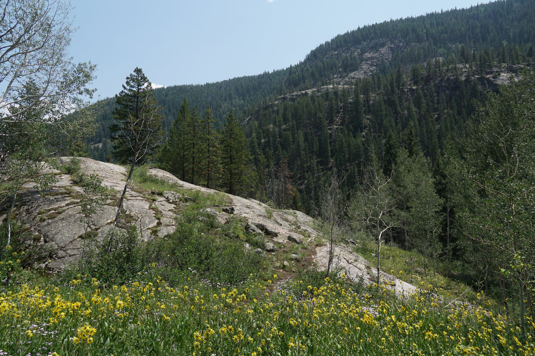
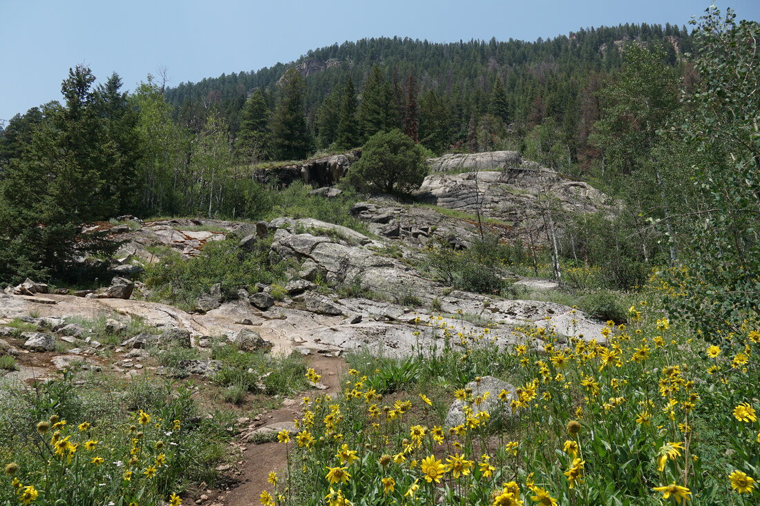
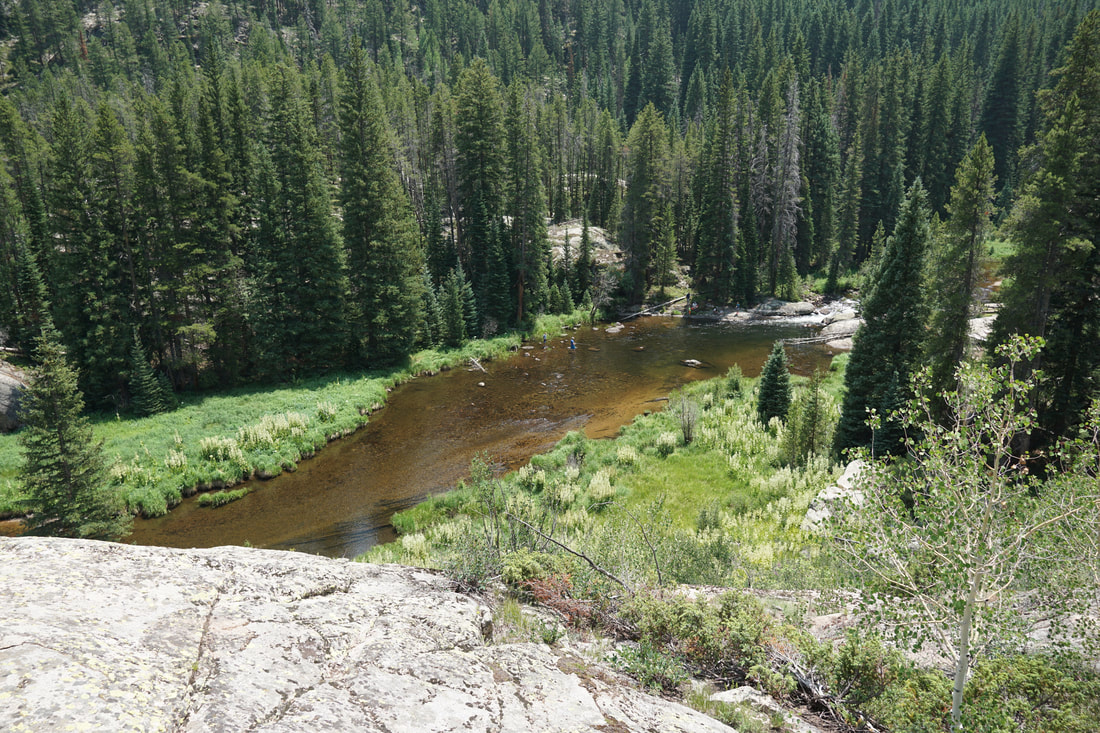
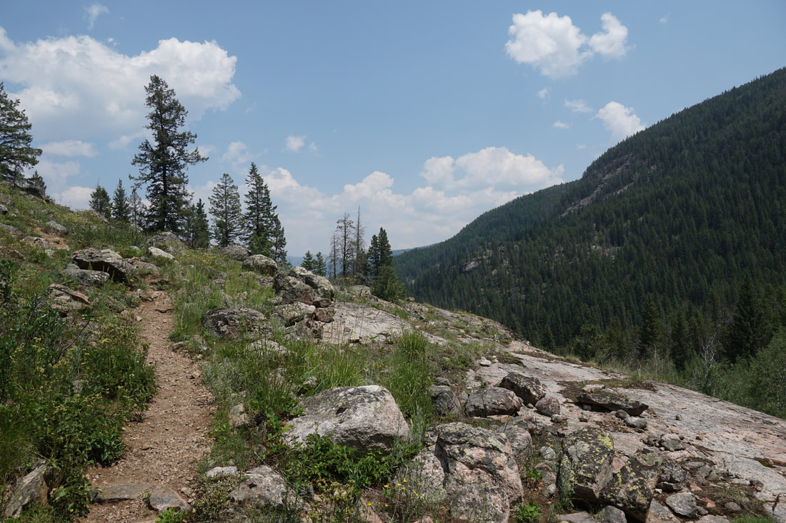
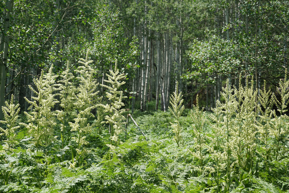
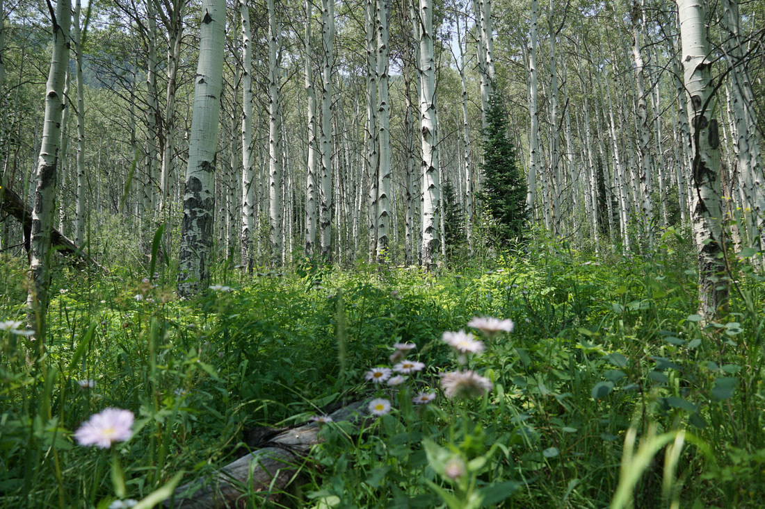
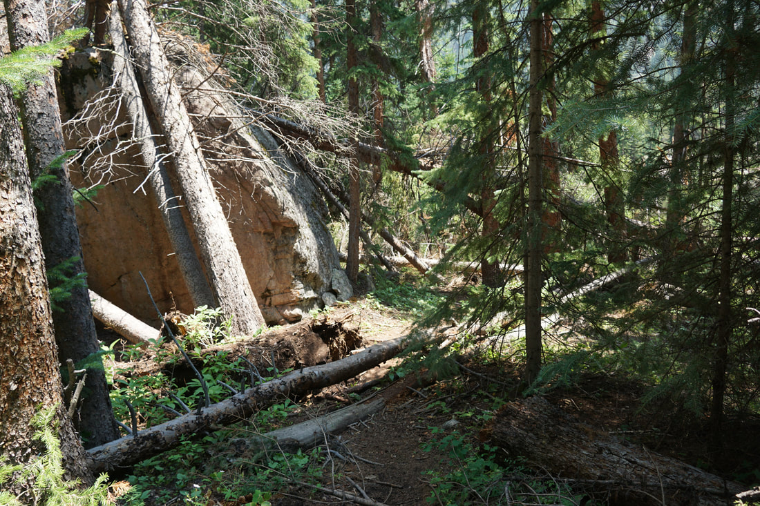
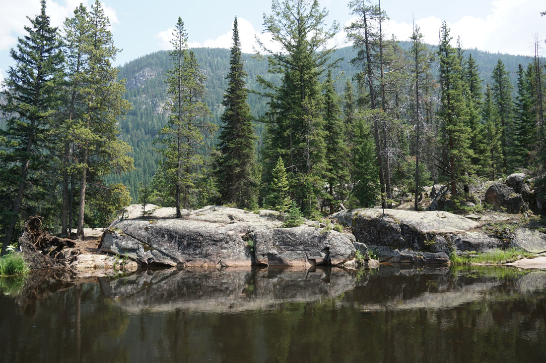
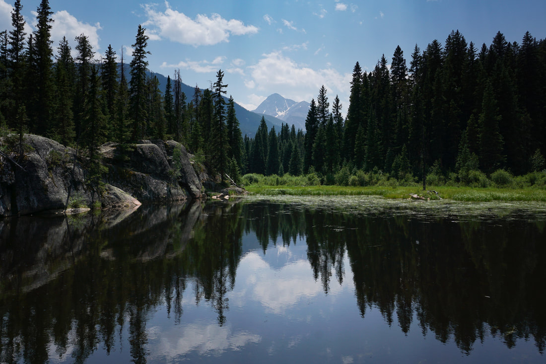
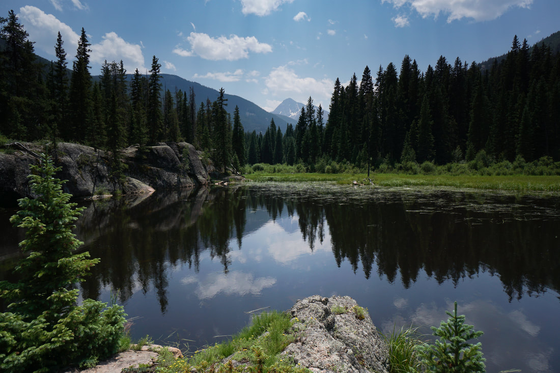
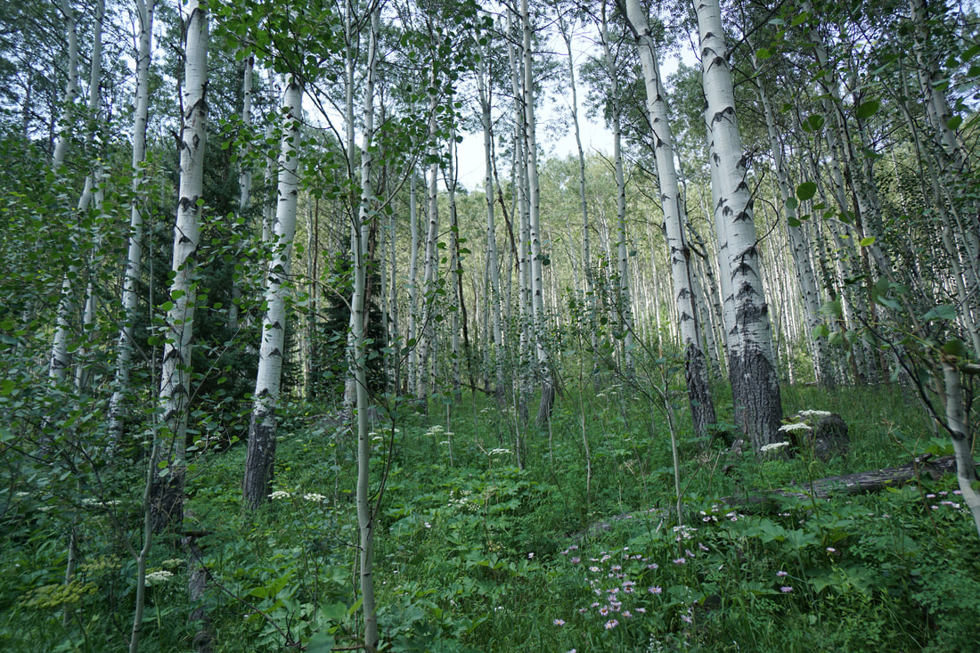
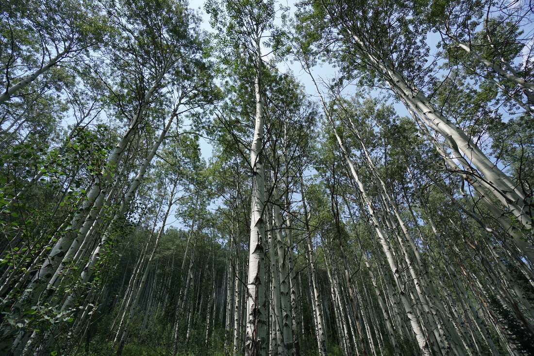
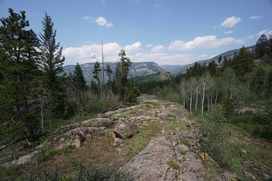
The trailhead is nestled in a thick aspen grove so the trail is immediately beautiful and should be incredible in late September when the aspens turn gold. After a few minutes of hiking the views open up to the east and the north and you get a great view along the Eagle River leading up to Minturn. You also get a view west into the canyon that you will be following. This area has unique terrain with granite ledges and aspen groves lining the hillsides. This is the terrain that the first part of the Cross Creek Trail cuts through. The trail descends gently through the forest to Cross Creek and a beautiful footbridge leading over the cascades. Cross the bridge navigate through some massive boulders and enter a stunningly beautiful old growth aspen forest. Throught he forest, the terrain opens up a bit and you'll get some nice views of the mountain sides with you first views of the Mt. of the Holy Cross in the distance. The next few minutes of hiking visit various rocky ledges with overlooks to Cross Creek below and Holy Cross to the west. Traverse another stunning aspen forest and you'll be nearing Surprise Lake. Finding Surprise Lake takes a little bit of work. Hopefully you'll have a map or a GPS on your phone so you'll know when you are approaching the lake. At the 2.5 mile mark, look to the left in the forest for a social trail leading about 20 yards through thick forest to find the lake. Once you find the lake, you have to work for the views of the Mt. of the Holy Cross. You need to be on the far side of the lake for the really beautiful views. On the far side you'll see a rock bar, that is your destination. The easiest way to get there is to skirt the marsh in the forest on the northern shore of the lake. You are likely to get your boots wet during this circumnavigation. Once you make it to the rock ledge, follow it to the south to the end and the views depicted in the photos. It takes a bit of work, but it's a worthy destination. The trail leading up to Surprise Lake is a bit overgrown which makes me think that most hikers stop at the rocky overlooks before hiking down through the last aspen grove. The lake is beautiful but if you can't find it, the overlooks provide a nice destination as well. Either way, the Cross Creek Trail is beautiful no matter how far you hike. Hiking just a mile in would make for a great short hike (especially in the fall) while following the trail all the way into the wilderness would be an epic backpacking adventure as well. |
|