|
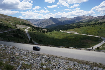
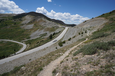
Directions: This hike starts at the summit of Cottonwood Pass located in between Buena Vista and Crested Butte. From Buena Vista, travel west on County Road 306 for 18 miles to the summit of Cottonwood Pass, the road is paved the entire way to the pass. From Crested Butte head south on 135 and turn east onto CO Road 813. The road is narrow in places and dirt but should be ok for most cars in good weather. Turn left onto 742, paved for a while, then good dirt, and follow it west to the Taylor Park Reservoir, follow signs to Cottonwood Pass. There is a large parking area at the summit of the pass.
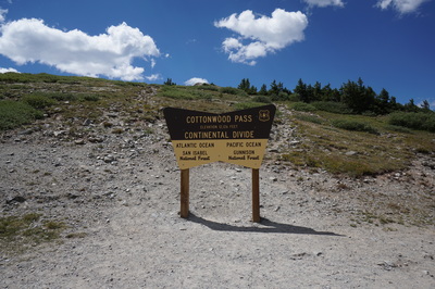
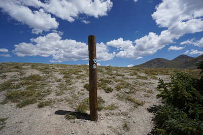
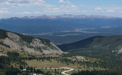
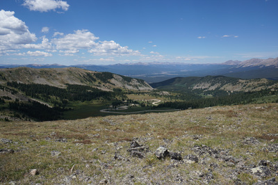
Cottonwood Pass sits high in the Sawatch Mountains on the Continental Divide at the edge of the Collegiate Peaks Wilderness Area. The views from the pass are incredible but with just a short climb, the views get even better. There are multiple choices for hikes from the parking area. The official trail that crosses the pass is the South Texas Creek Trail, which is also part of the Colorado Trail and the Continental Divide National Scenic Trail. However, this hike description follows one of 3 (at least) unofficial but well worn trails exploring this area.
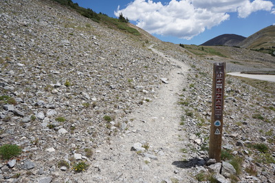
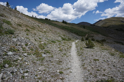
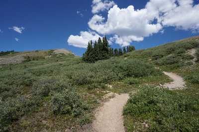
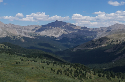
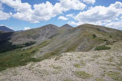
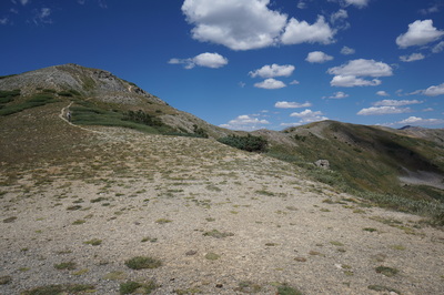
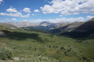
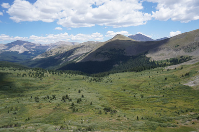
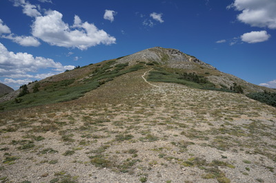
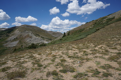
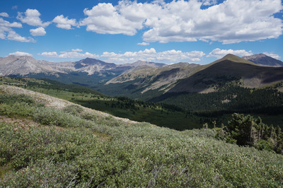
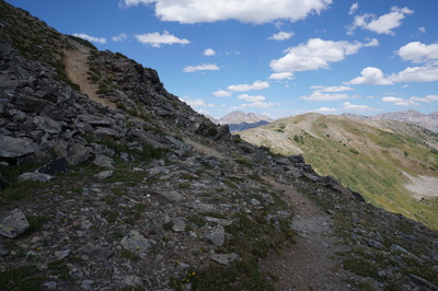
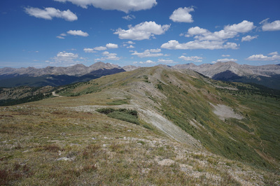
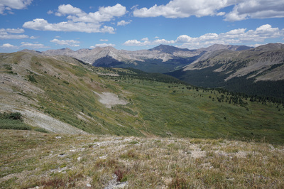
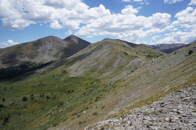
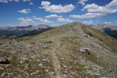
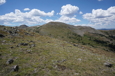
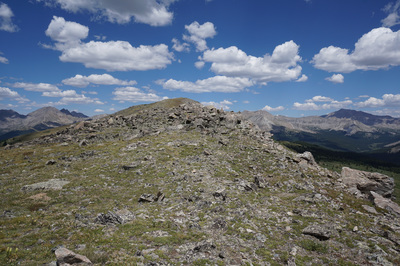
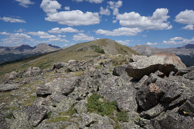
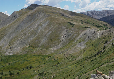
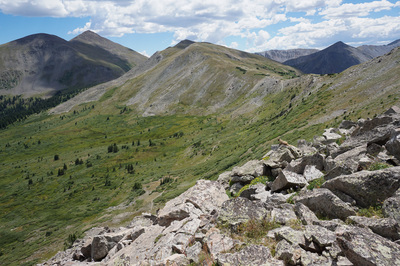
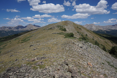
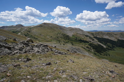
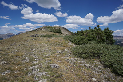
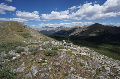
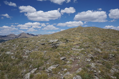
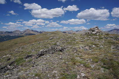
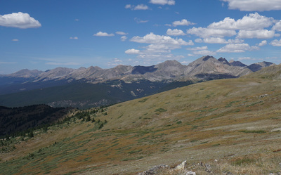
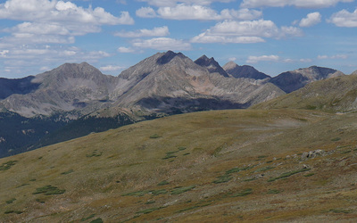
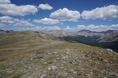
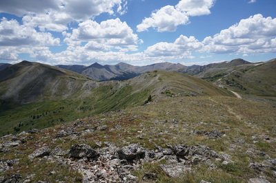
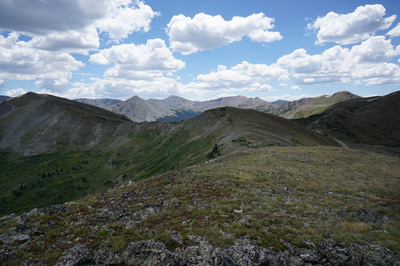
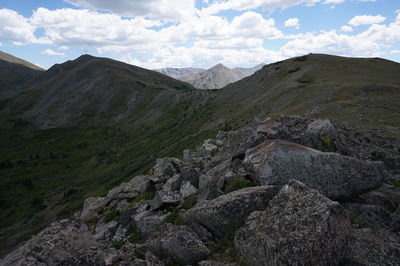
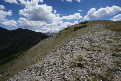
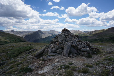
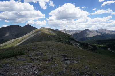
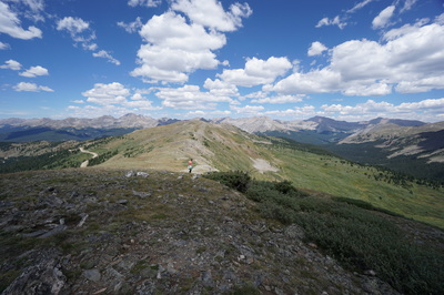
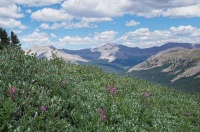
You have 2 immediate choices from the parking area, head south at the trailhead or cross the road and head north, this description heads north. You start up the CDT/CO Trail/South Texas Creek Trail to a saddle a few hundred feet above the pass. From here, you can either go straight on the S. Texas Creek Trail, turn right and follow the ridge up towards Turner Peak (13,233) or turn left towards point 12,126 and the ridge beyond, turn left. This ridge runs north, connecting various unnamed points with amazing views of the Collegiate Peaks the entire time. The most prominent peaks from the ridge are Mt. Harvard (14,420 ft), the pyramid shaped peak at the head of the valley due north, and Mt. Yale (14,126 ft) across the ridge from Harvard. Also of note is the Three Apostles; West Apostle, Ice Mountain, and North Apostle...three incredible 13ers. Follow the ridge as far as you want, the furthest summit point is about 1 mile from the trailhead. The views of the Apostles get better as you go, but point 12,454 and it's large cairn makes for a good turnaround point. This hike provides tremendous bang for you buck as it starts high and only climbs a few hundred feet. This is the perfect place to get your bearings and it provides a good overview of the Collegiate Peaks, fueling your dreams of further adventures |
- HOME
- ABOUT
-
HIKES BY REGION
-
NATIONAL PARK HIKES
- BENT'S OLD FORT NATIONAL HISTORIC SITE
- BLACK CANYON OF THE GUNNISON NATIONAL PARK
- COLORADO NATIONAL MONUMENT
- CURECANTI NATIONAL RECREATION AREA
- DINOSAUR NATIONAL MONUMENT
- FLORISSANT FOSSIL BEDS NATIONAL MONUMENT
- MESA VERDE NATIONAL PARK
- ROCKY MOUNTAIN NATIONAL PARK
- GREAT SAND DUNES NATIONAL PARK
- HOVENWEEP NATIONAL MONUMENT
- SAND CREEK MASSACRE NATIONAL HISTORIC SITE
- YUCCA HOUSE NATIONAL MONUMENT
- HIKES BY CATEGORY
- NEWS
- WEBCAMS
- $UPPORT GHC
- INTERACTIVE MAP
Cottonwood Pass North
Collegiate Peaks Wilderness, Gunnison &
San Isabel National Forests
Date Hiked: August 14, 2016
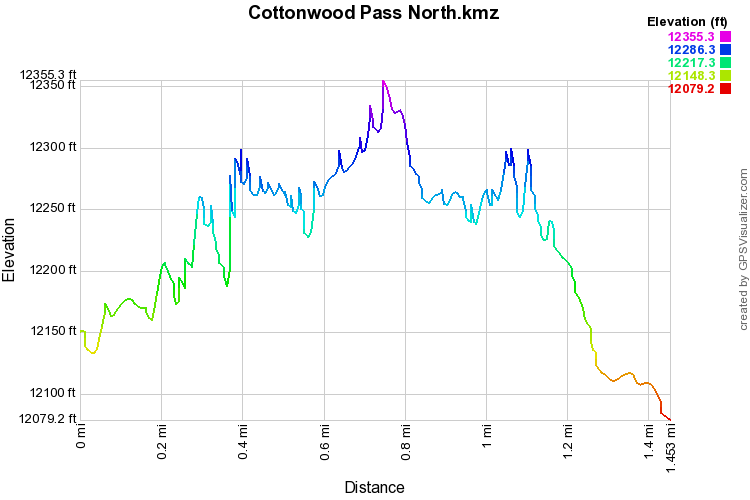
Distance: 1.5 mi (RT)
Elevation Gain: 470 ft
Elevation Min/Max: 12,079 to 12,355 ft
Trailhead Lat/Long: 38º 49' 41" N; 106º 24' 32" W
Managing Agency: U.S. Forest Service
Fee: None

