|
DIRECTIONS: From I-70 exit at the Eagle, CO exit. Follow Eby Creek road south through the town of Eagle and turn right (west) on Grand Ave. Follow Grand Ave for about 1 mile and head south on Sylvan Lake Road. Continue on Sylvan Lake Road and turn right on Brush Creek Road. Follow Brush Creek Road as it enters the White River National Forest and becomes FR 400.2. a good dirt road. The road then enters Sylvan Lake State Park. Stay right at the fork heading towards Sylvan Lake and Crooked Creek Pass. Pass Sylvan Lake and head up 400.2 to Crooked Creek Pass. This part of the drive may be difficult in bad weather. Stay straight on 400.2 at the pass and continue down the southern side of the pass and turn left at FS Rd 507.1 following signs to Eagle Lake. Make another left to stay on 507.1 and follow it to the Eagle Lake Trailhead.
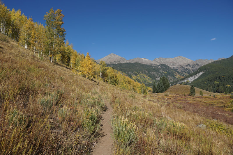
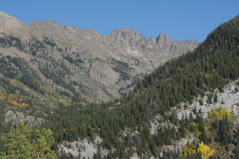
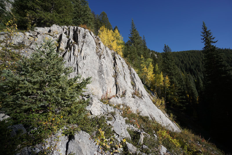
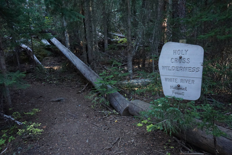
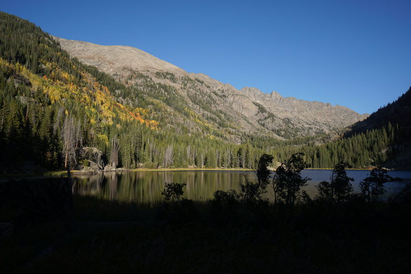
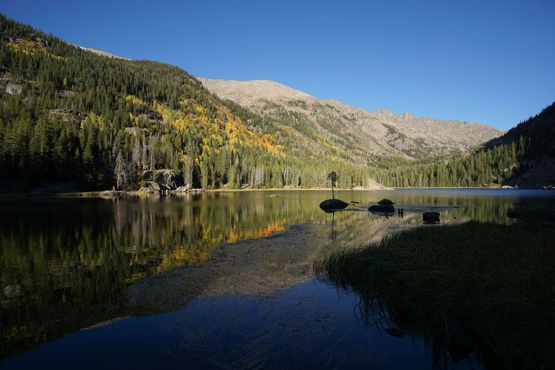
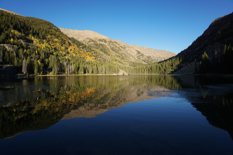
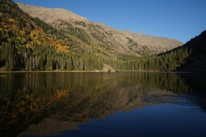
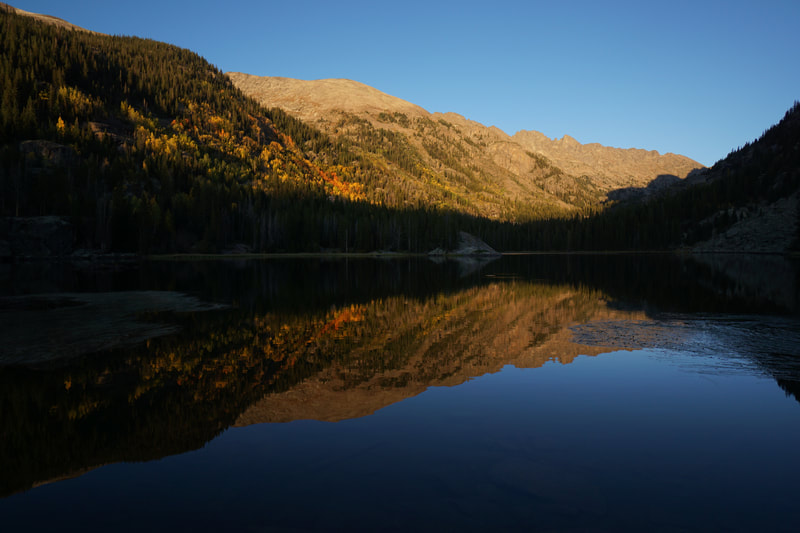
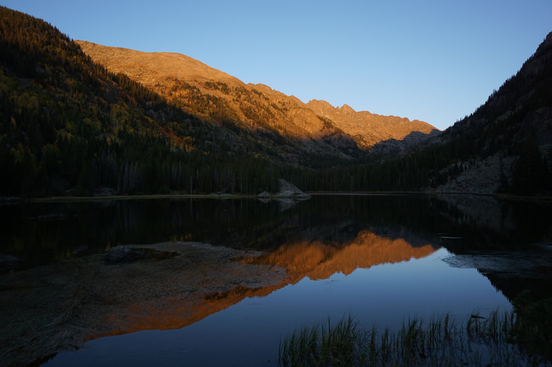
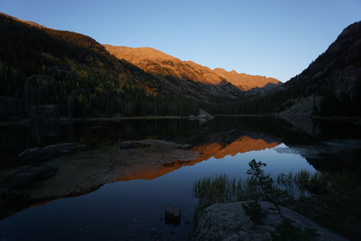
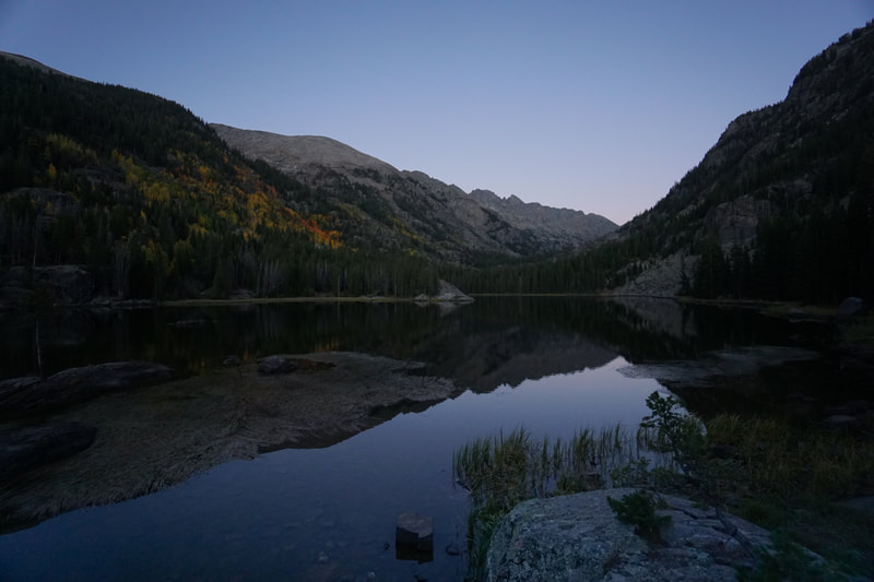
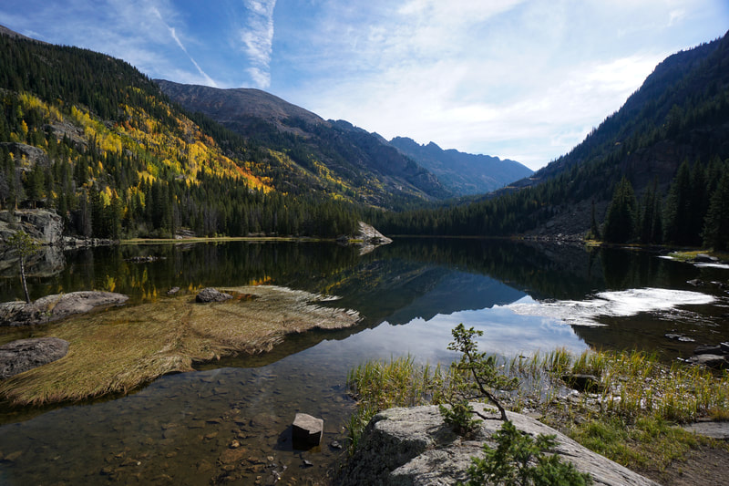
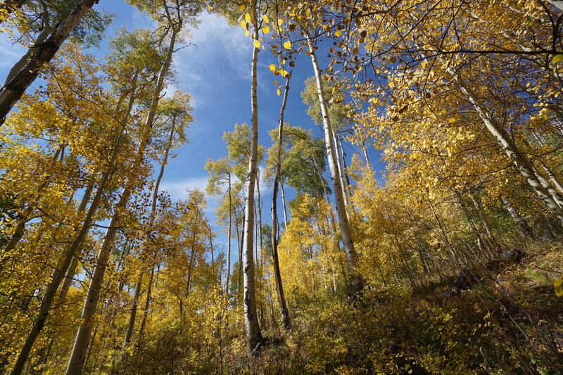
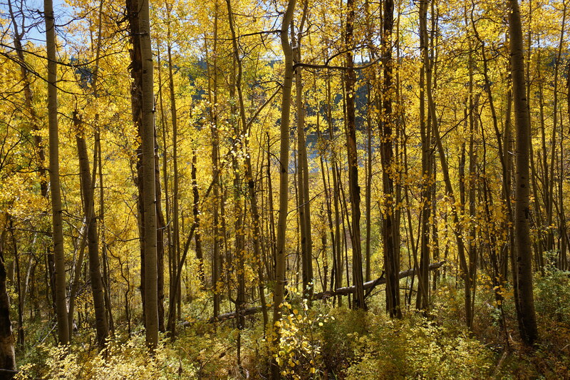
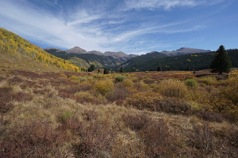
Eagle Lake is a wonderful destination, a sub-alpine lake nestled into the base of a valley ringed by rocky peaks and sawtooth ridges on the west side of the Holy Cross Wilderness. The trailhead is accessed through the Lime Park area just south of Crooked Creek Pass. This is a beautiful and seldom visited part of the Holy Cross Wilderness and in the fall, it is absolutely incredible.
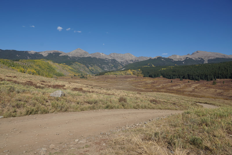
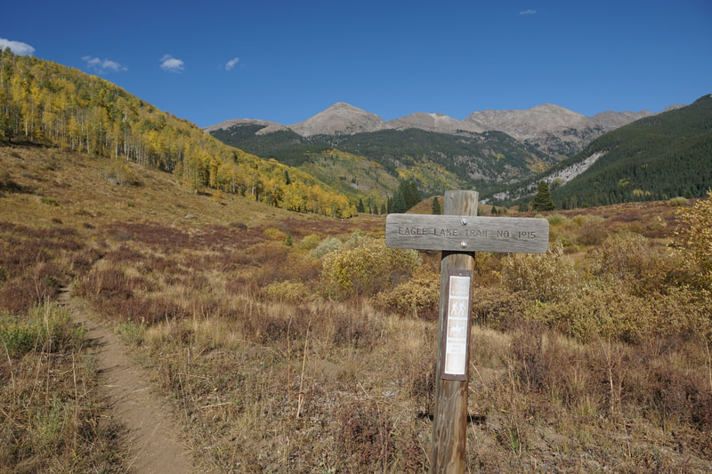
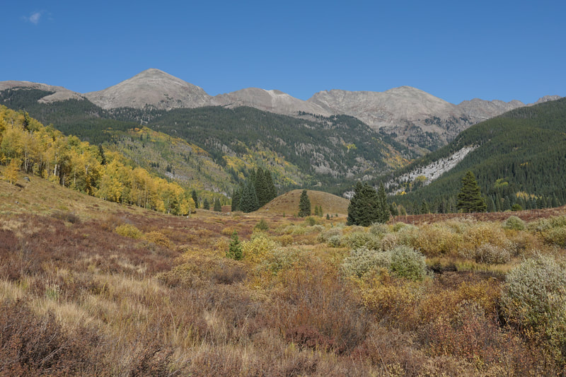
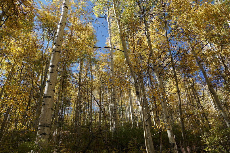
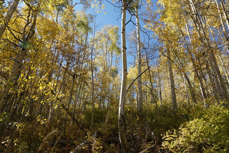
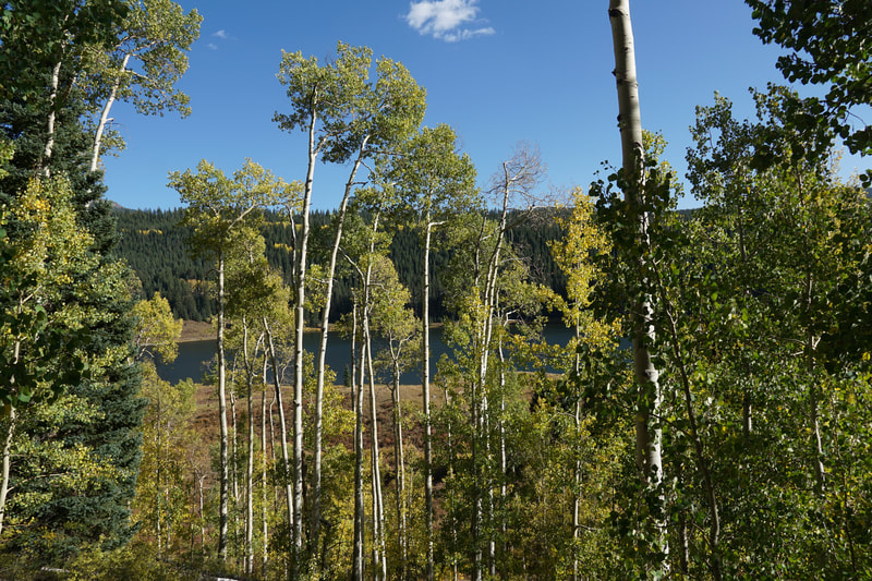
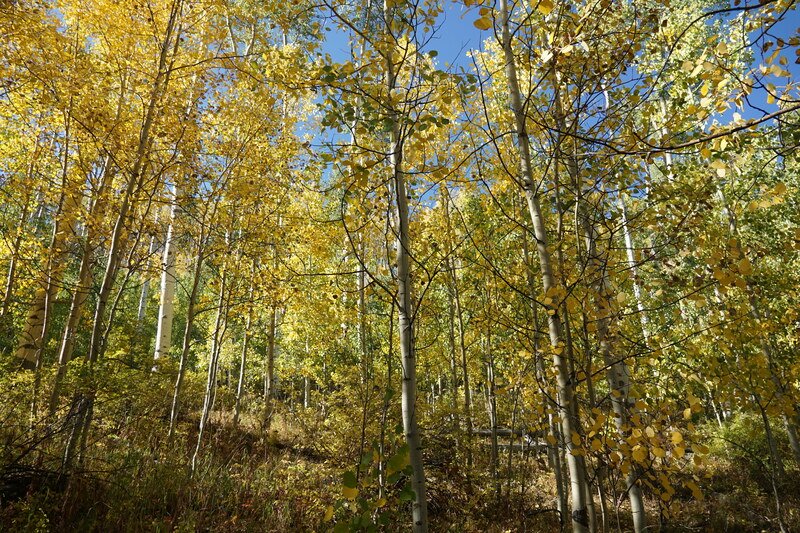
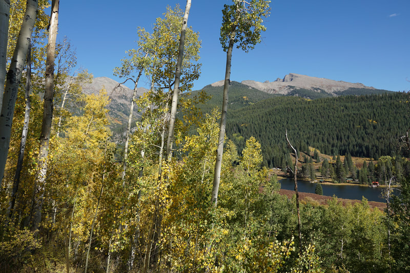
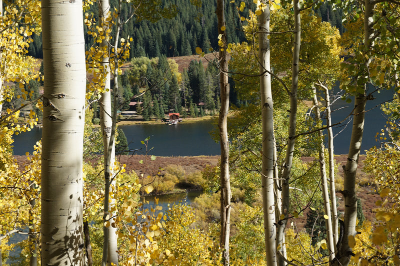
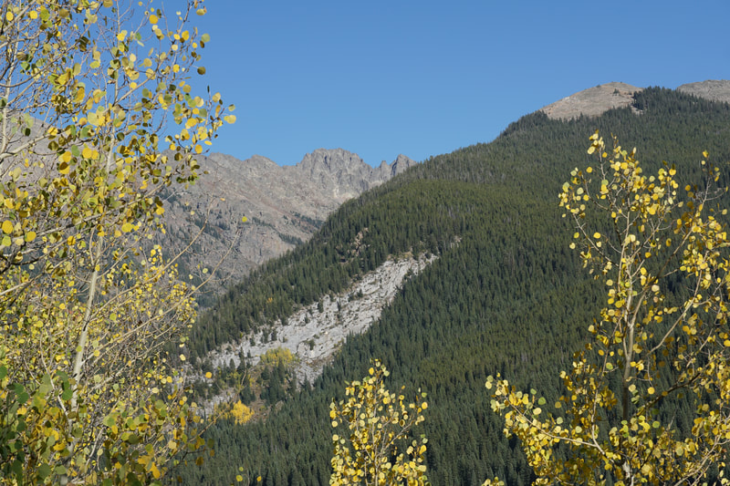
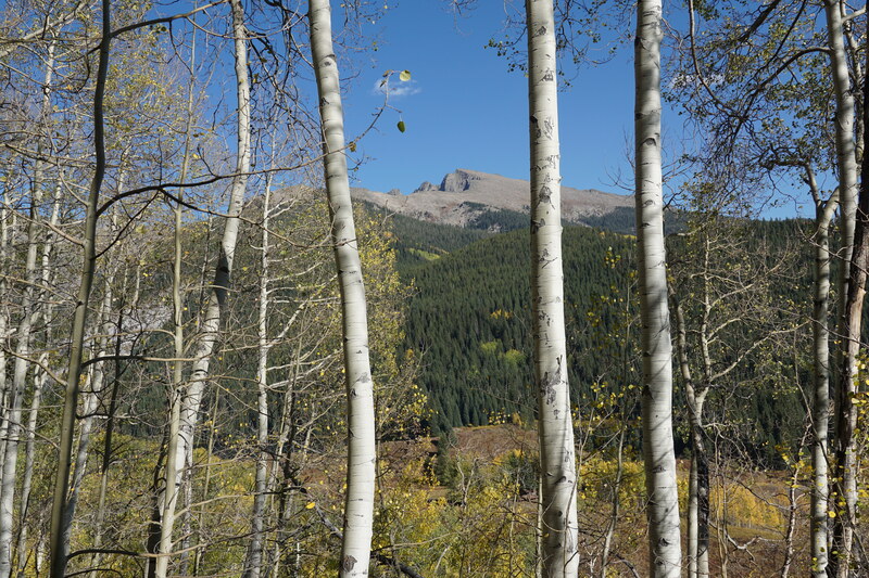
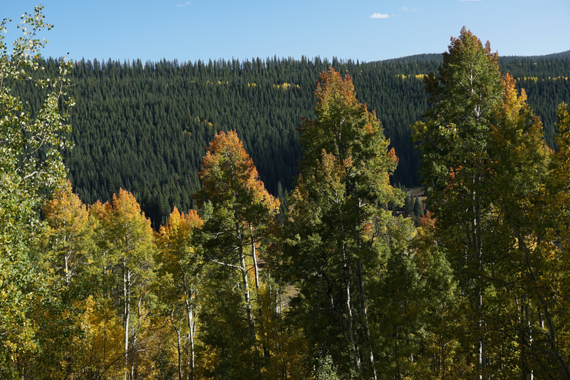
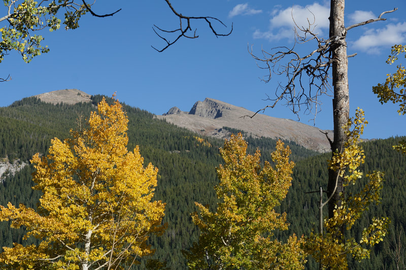
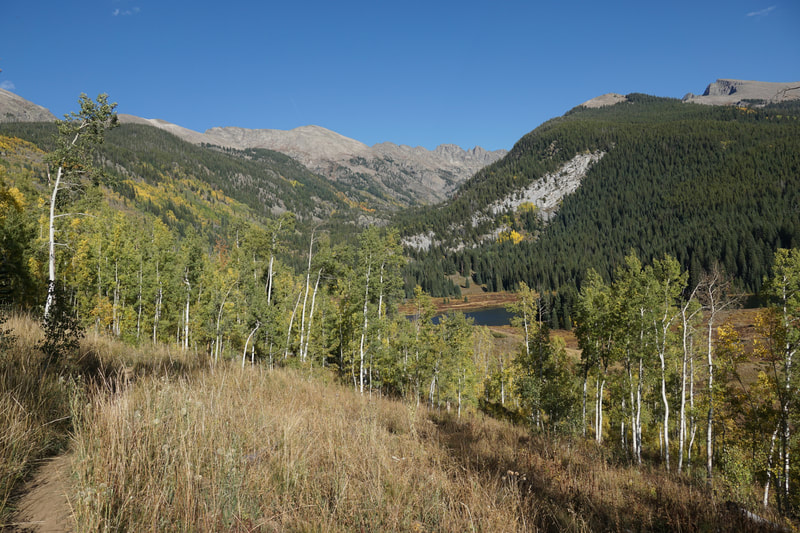
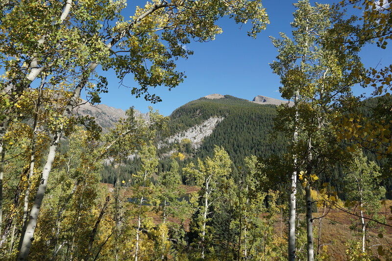
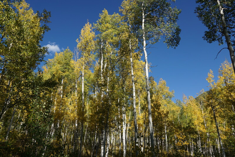
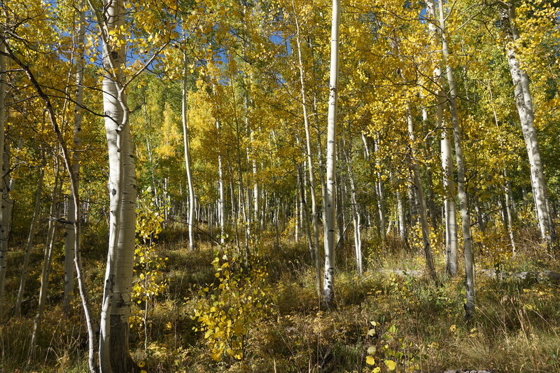
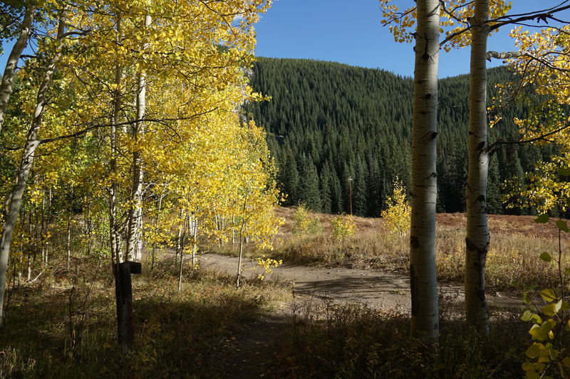
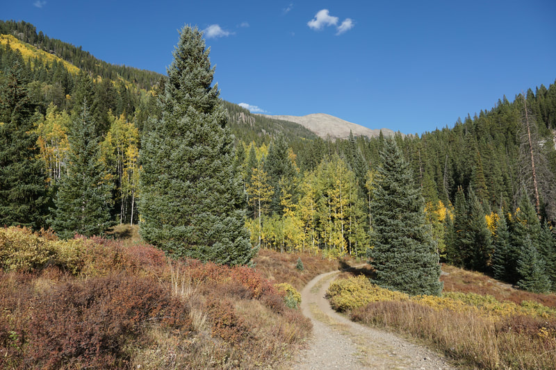
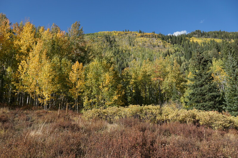
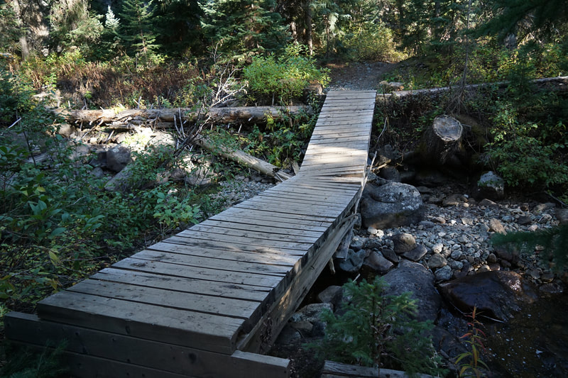
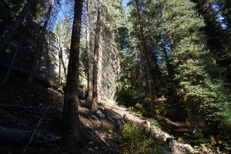
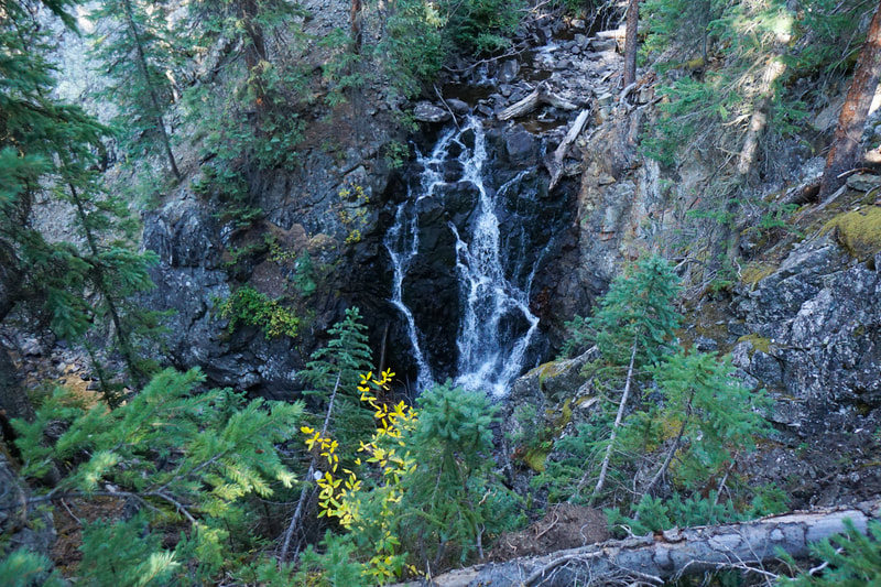
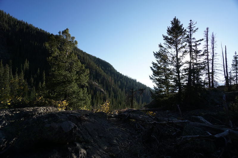
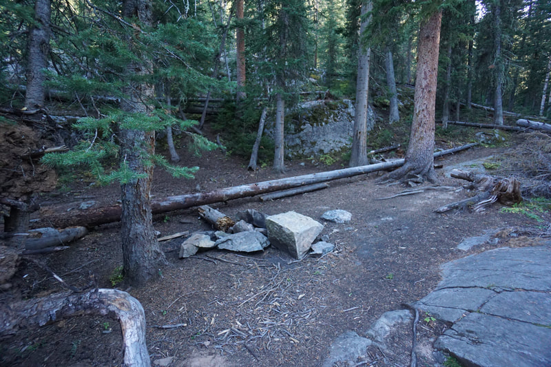
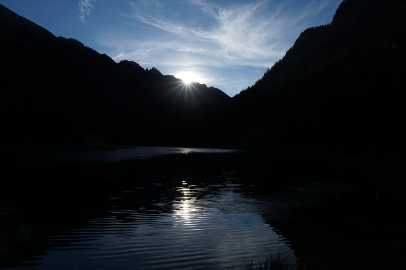
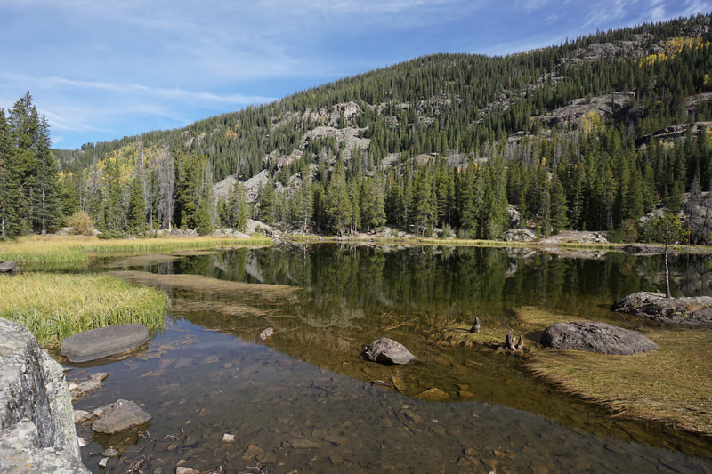
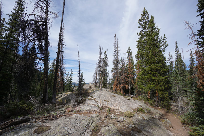
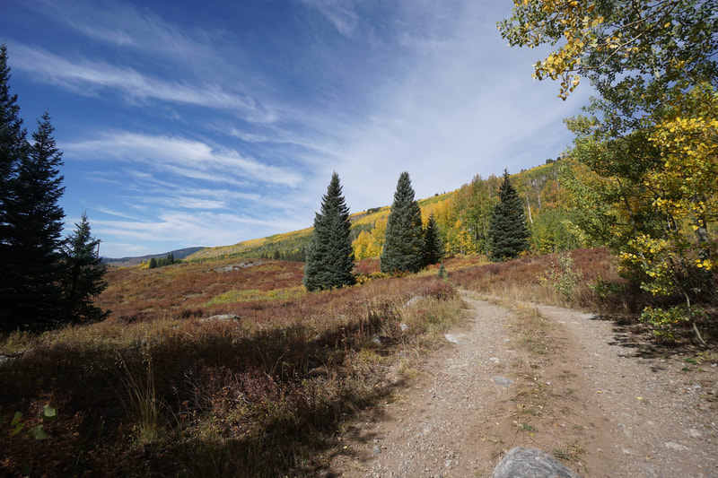
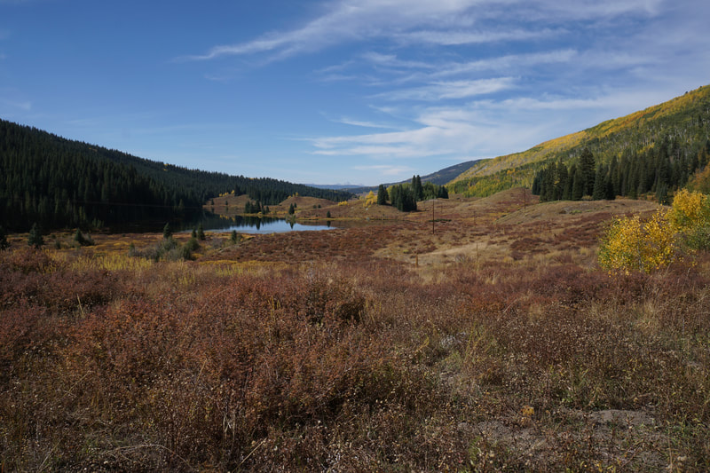
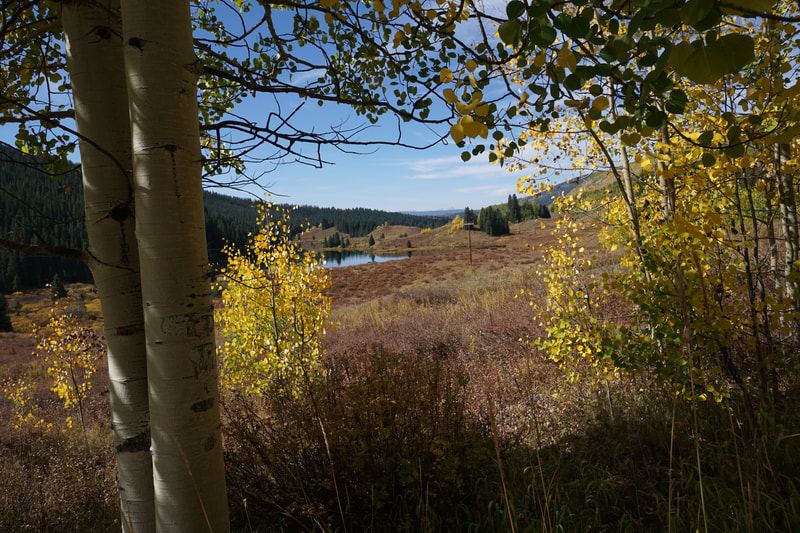
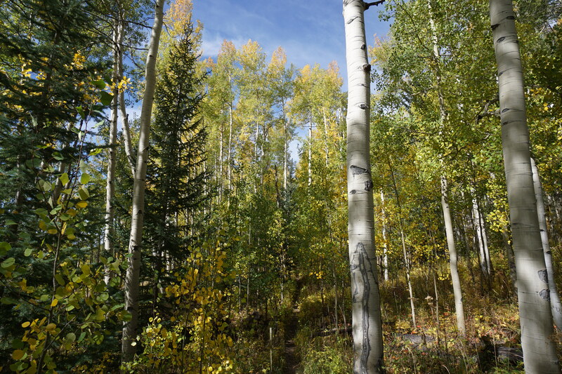
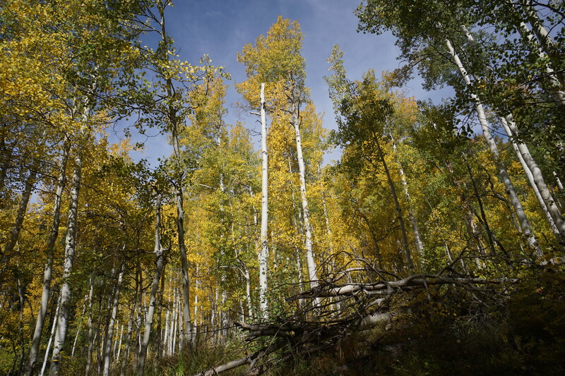
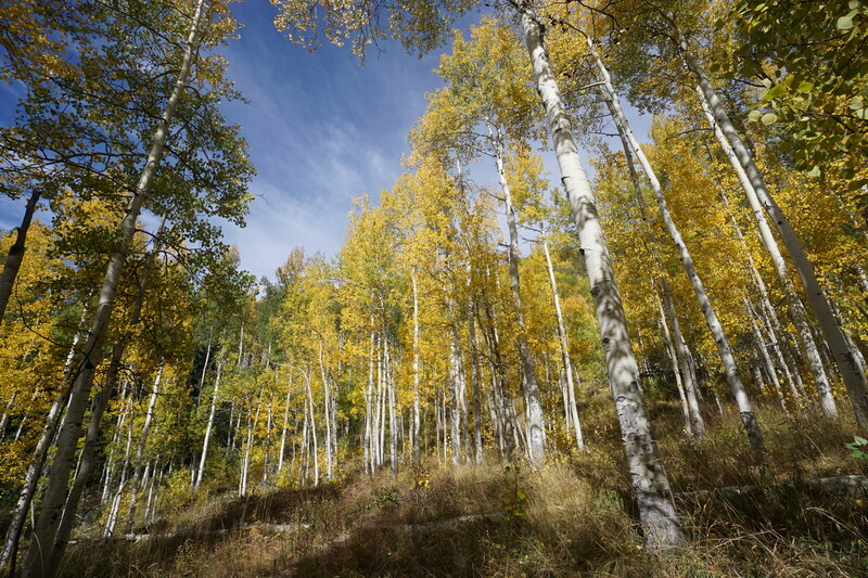
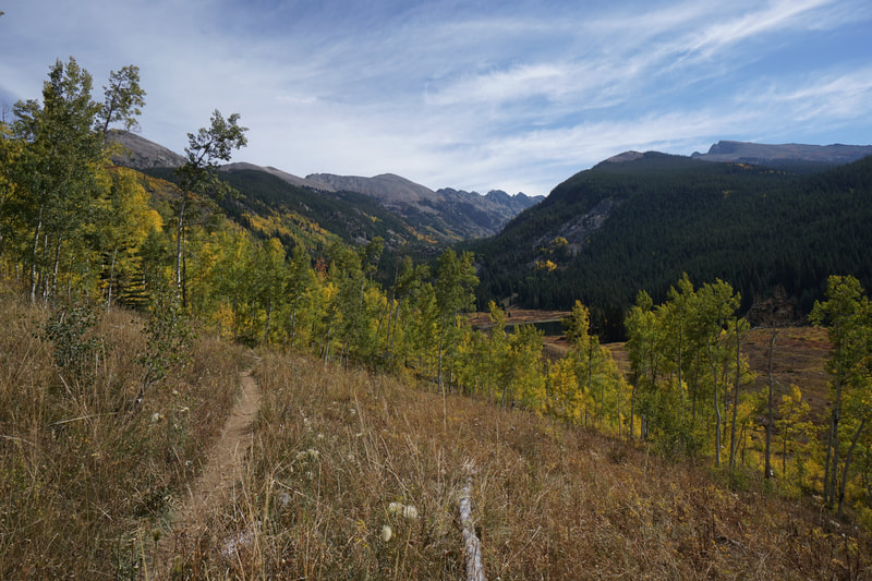
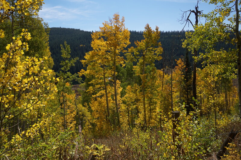
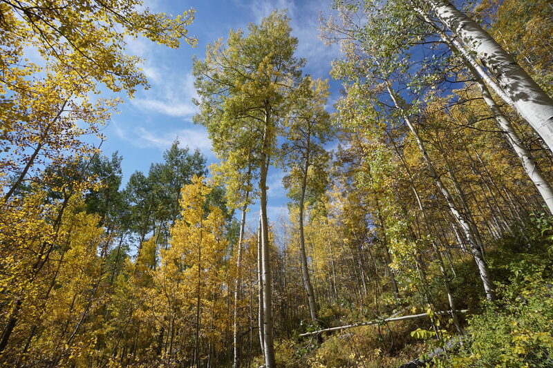
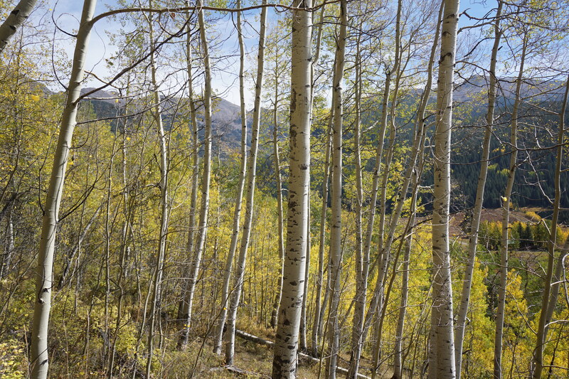
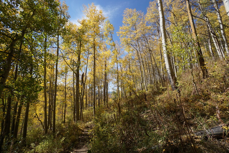
The hike is relatively easy and offers the perfect mix of huge aspen groves for fall color and a pristine lake destination. We did this hike as a quick and easy backpacking trip and it worked perfectly. There are campsites around the lake and in the fall when the temperatures start to drop, you have a decent chance of having the whole lake to yourself. The hike starts off with a rambling trail that traverses a dense aspen forest for about 1 mile. Through the trees you'll get some nice views of the privately owned lakes below and the striking peaks in the distance. As the trail leaves the aspen forest it meets with a dirt road at the far end of the lakes. The trail then enters a pine forest and crosses a footbridge next to a water power station. After the bridge the trail begins a short, somewhat steep, ascent through the forest. Along the way, keep your eyes out for at least two beautiful waterfalls as Lime Creek cuts a narrow gorge through the granite. The trail gets a little difficult to follow as it climbs across large boulders and rocky slopes, look for cairns. Before long you'll reach the eastern shore of Eagle Lake and the beautiful setting reveals itself. In my opinion, the best views are from the southern shore so turn right at the creek outflow. Not far along the shore are some large rock outcroppings jutting out into the lake which makes for the perfect relaxation spot, a nice campsite is located just back from these rocks. Across the lake you'll get great views of Eagle Peak and a rocky sawtooth ridge further up the valley. There are two more lakes up the valley, Fairview Lake and Strawberry Lake. While there is no official trail past Eagle lake, I would love to come back and explore the valley further. The return hike retraces your steps and you get another chance to hike through the massive aspen grove at the start of the hike, which is just icing on the cake in the autumn. |
- HOME
- ABOUT
-
HIKES BY REGION
-
NATIONAL PARK HIKES
- BENT'S OLD FORT NATIONAL HISTORIC SITE
- BLACK CANYON OF THE GUNNISON NATIONAL PARK
- COLORADO NATIONAL MONUMENT
- CURECANTI NATIONAL RECREATION AREA
- DINOSAUR NATIONAL MONUMENT
- FLORISSANT FOSSIL BEDS NATIONAL MONUMENT
- MESA VERDE NATIONAL PARK
- ROCKY MOUNTAIN NATIONAL PARK
- GREAT SAND DUNES NATIONAL PARK
- HOVENWEEP NATIONAL MONUMENT
- SAND CREEK MASSACRE NATIONAL HISTORIC SITE
- YUCCA HOUSE NATIONAL MONUMENT
- HIKES BY CATEGORY
- NEWS
- WEBCAMS
- $UPPORT GHC
- INTERACTIVE MAP
Eagle Lake
Holy Cross Wilderness
White River National Forest
Date Hiked: September 25, 2021
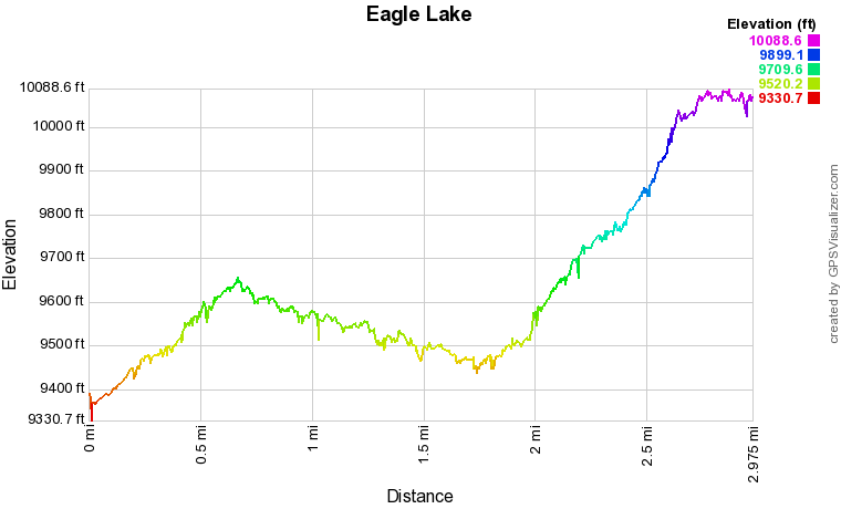
Distance: 6 mi (RT)
Elevation Gain: 800 ft
Elevation Min/Max: 9,457.0 ft, 10,068.4 ft
Trailhead Lat/Long: 39.42280, -106.63935
Managing Agency: U.S. Forest Service
Fee: None

