|
|
|
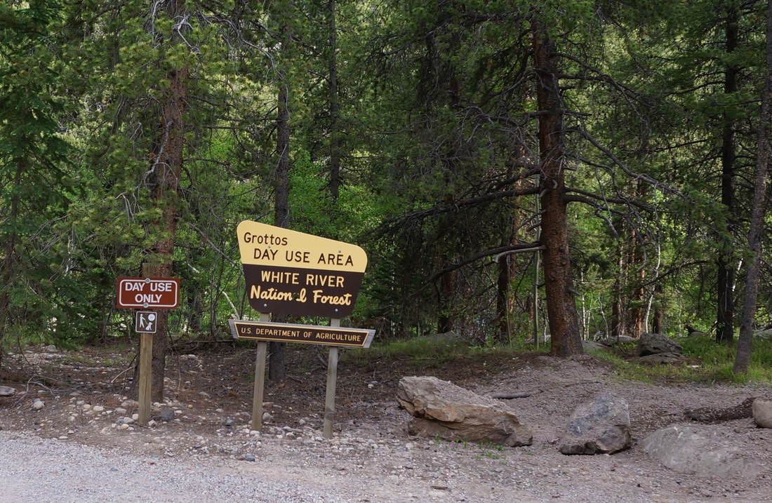
Directions: From Aspen head east on 82 towards Independence Pass. The Grottos Day Use Area will be on the right. The road is closed in winter.
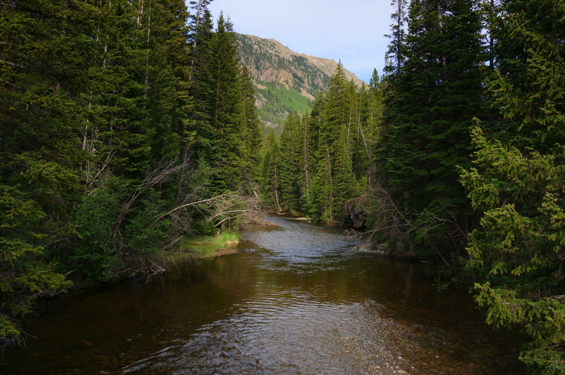
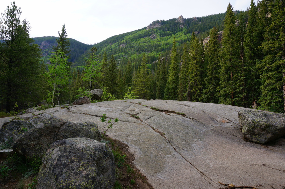
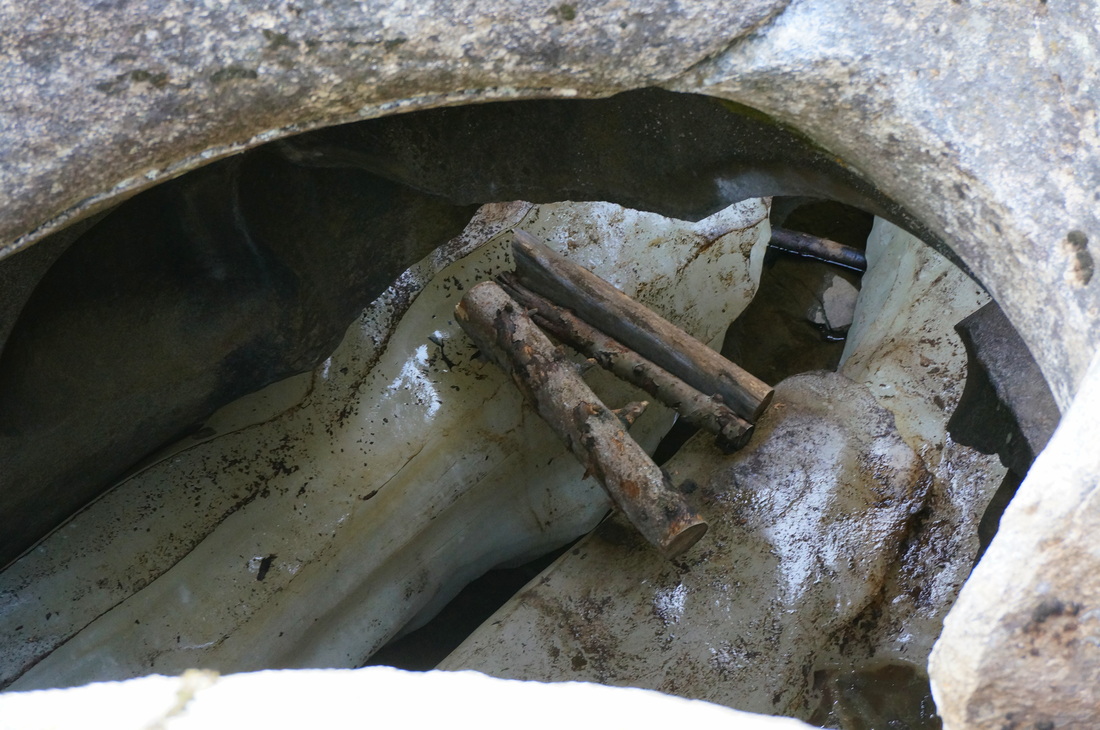
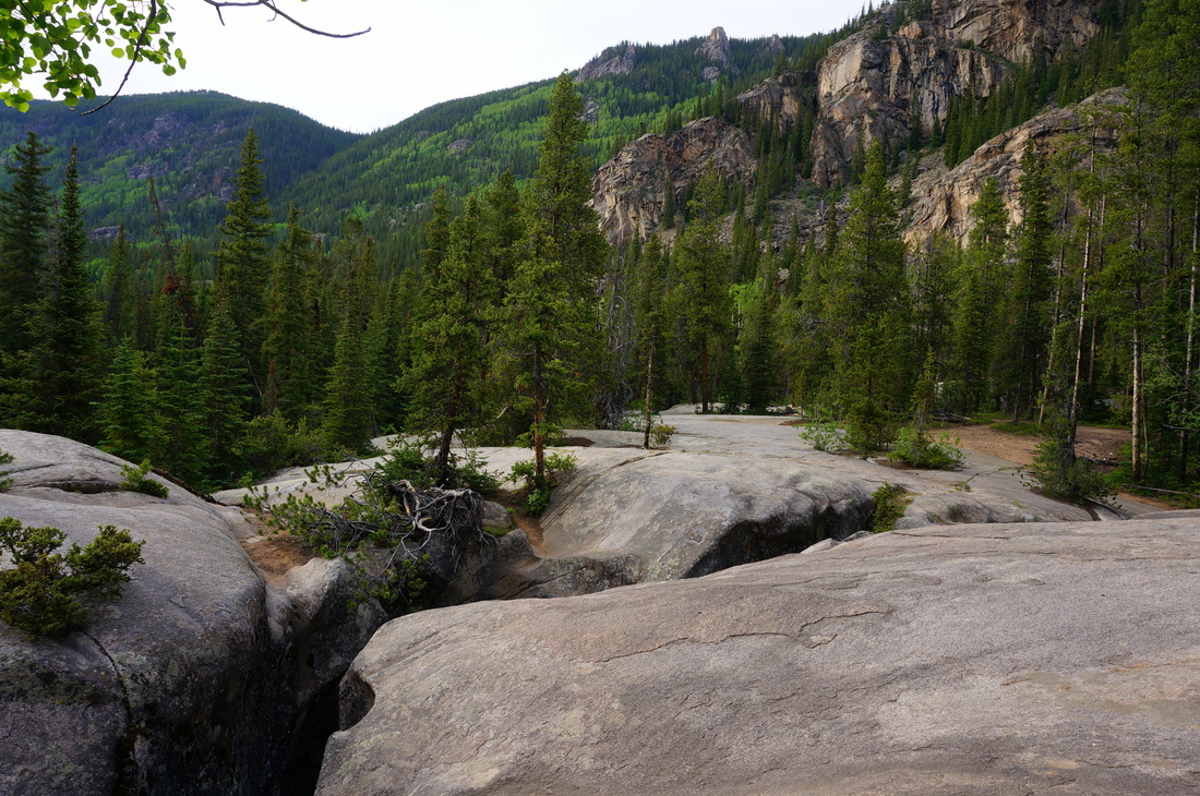
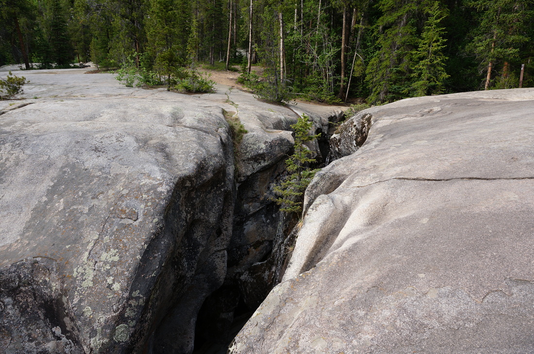
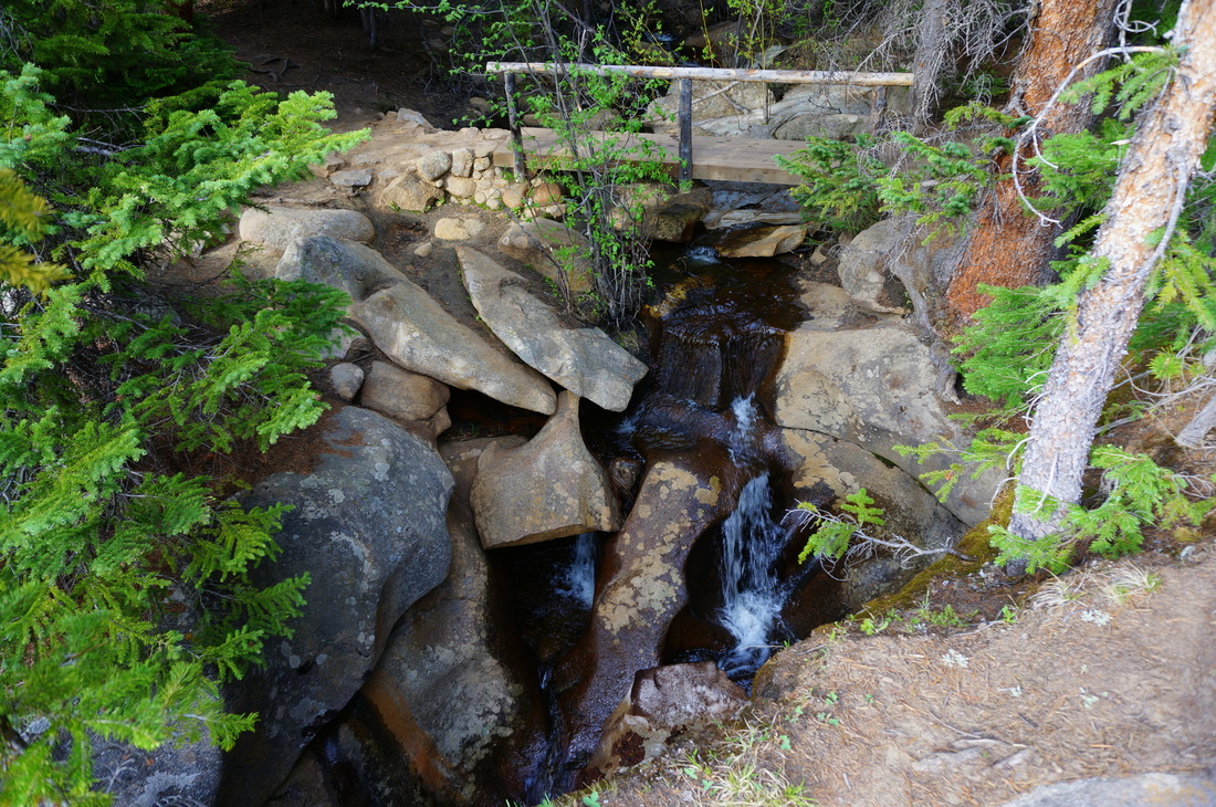
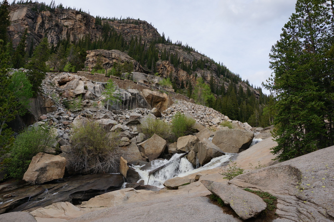
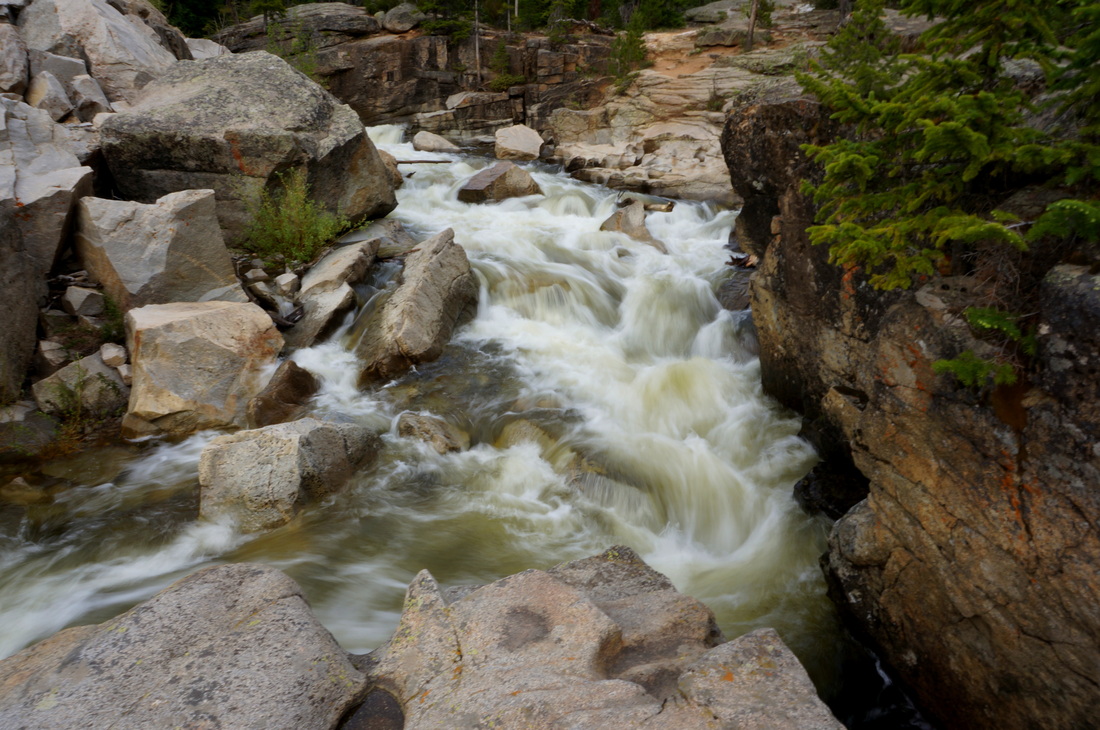
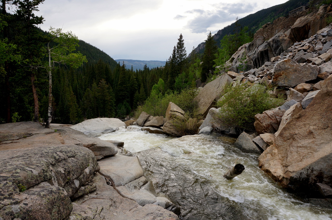
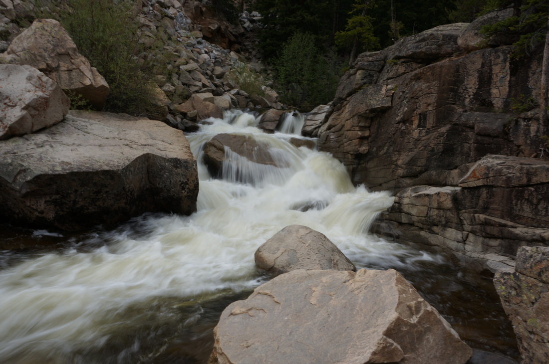
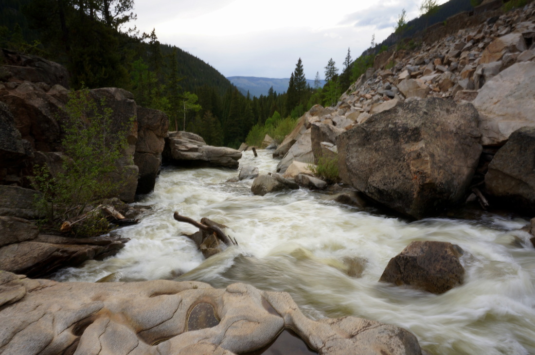
The hike around the Grottos is an interesting short exploration of an "ice cave." Don't expect to be spelunking however, as the ice cave is really just a narrow crack in the rock that you look down into while walking on top of. During the right season (spring, early summer) you'll see water trickling through the caves. Aside from the caves, you'll be walking through huge boulders, glacial erratics, granite domes, evergreen forest, and aspen groves. While the caves are interesting to peer into, the real appeal of this area is the access to a ragging portion of the Roaring Fork River. There are many rocky areas to sit and stare at the river (like staring at a campfire), the power of the Roaring Fork is on full display here. |
|