|
|
|
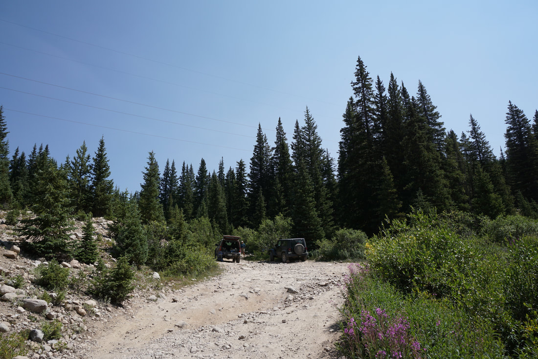
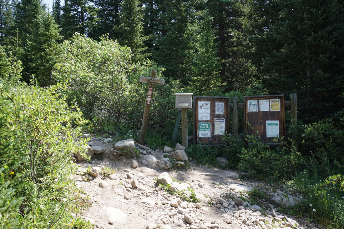
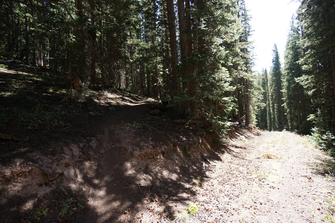
DIRECTIONS: From Basalt, CO, take Frying Pan Road east to Ruedi Reservoir. Continue east past the reservoir and through the town of Meredith, CO. Continue east on Frying Pan Road past Norrie and past the turnoff for Chapman Reservoir and Campground. Eventually, you'll reach the hairpin turn where Frying Pan Road becomes Ivanhoe Lake Road. Here the road becomes a dirt road, which is not all that bad but has some very rough spots. I would not recommend anything less that a decent clearance SUV past this point. The road gets very narrow with steep dropoffs in some spots and is very pleasant in other spots. It is very slow going for a long while. The Lyle Lake Trailhead is 10.6 miles past the hairpin turn. Just before the trailhead you'll arrive at a junction with a seasonal gate and some parking. The actual trailhead is just up the hill but the road is extremely rough. I recommend parking here and hiking up to the trailhead along the road or via a social trail near the parking area. We made the drive in a Subaru Forester with little trouble but we had to take a few sections very slowly.
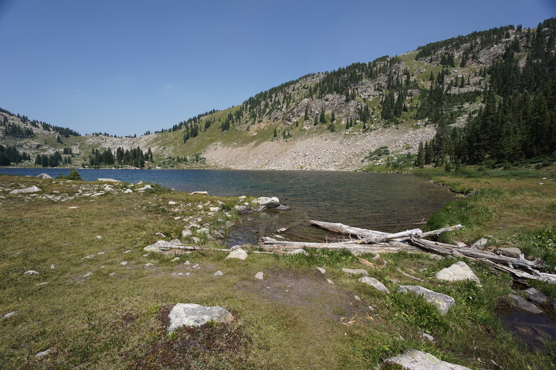
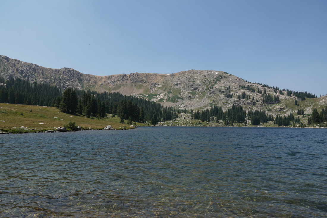
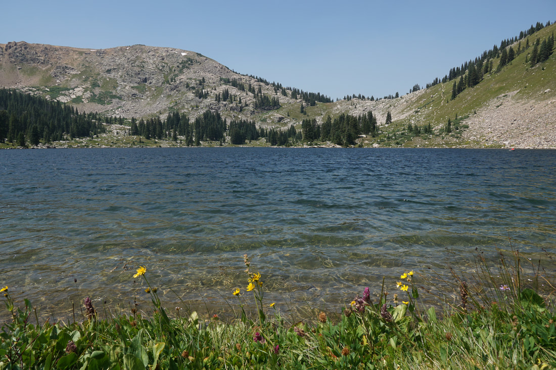
Lyle Lake is a popular destination for hiking and backpacking on the western edge of the Holy Cross Wilderness Area. If you can get to the trailhead, then your reward is a relatively easy hike to a stunning alpine lake surrounded by majestic peaks. If you can hike a bit further, Mormon Lake is another 1.5 miles up the trail. We stopped at Lyle Lake as the kids were tired and satisfied...therefore so were we...
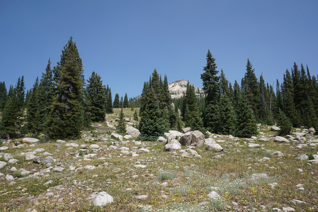
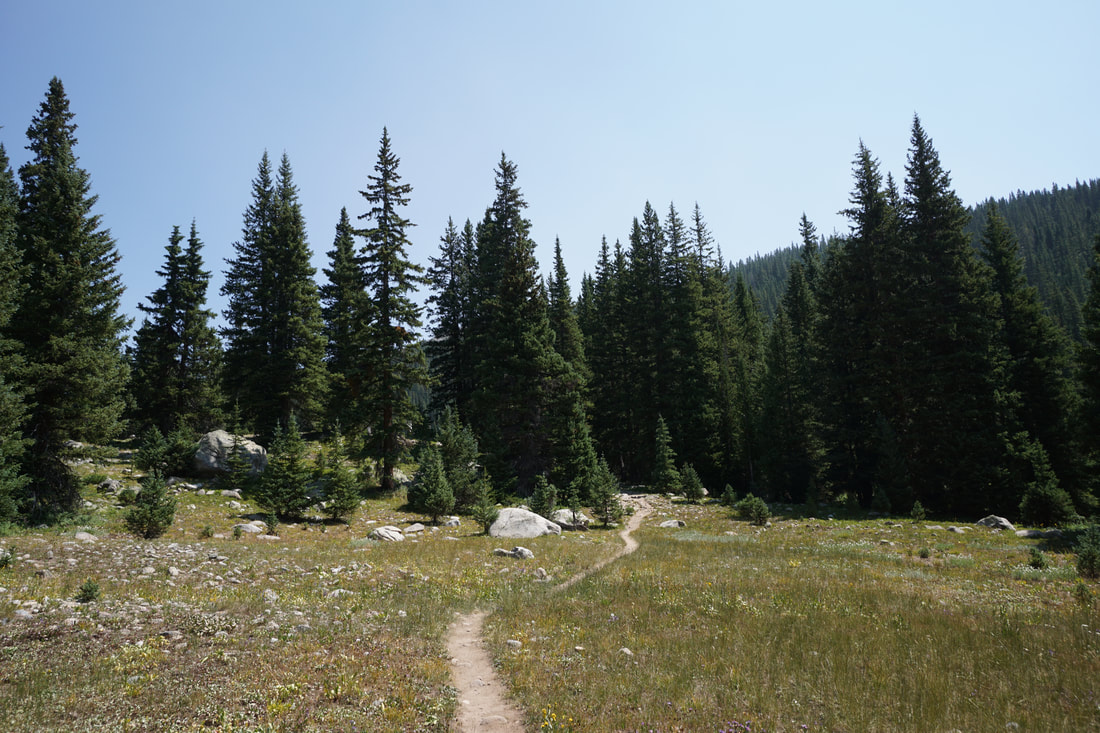
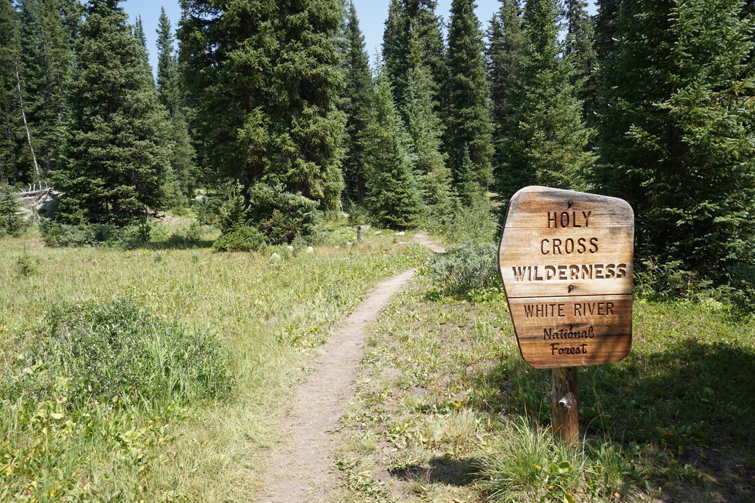
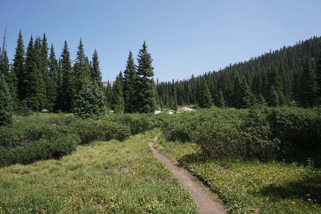
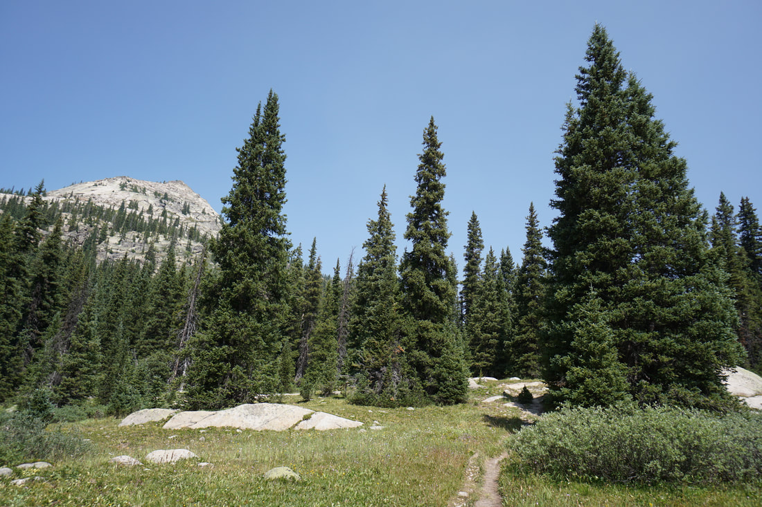
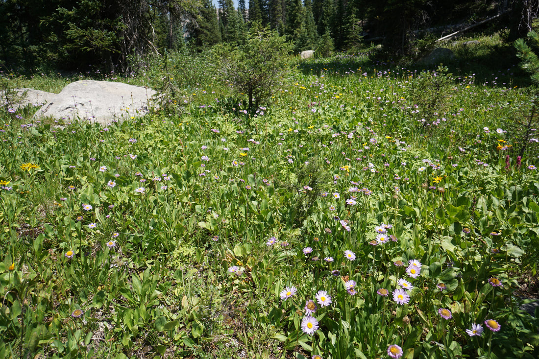
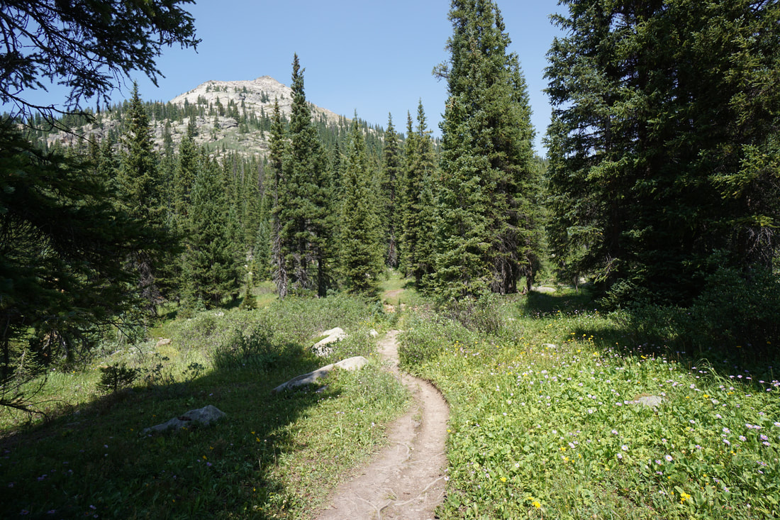
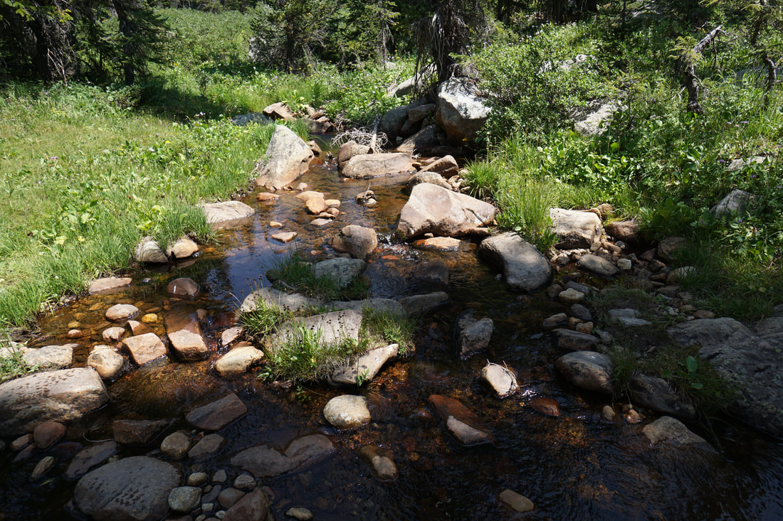
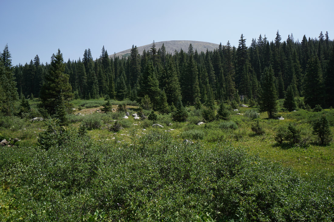
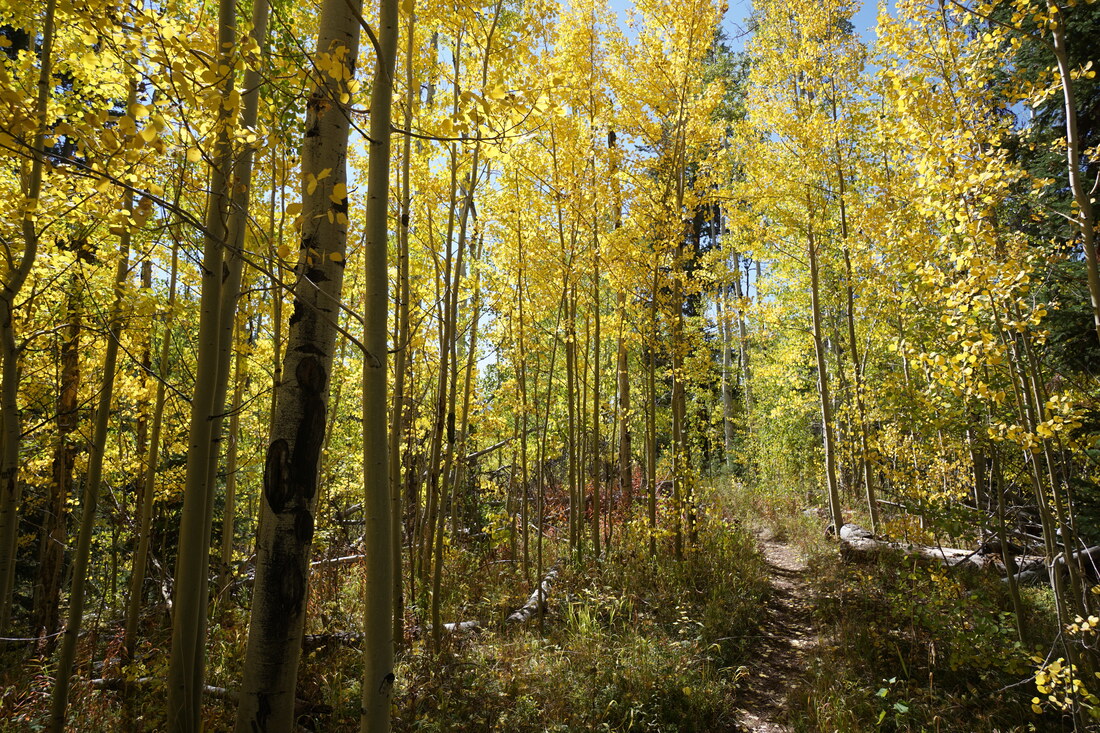
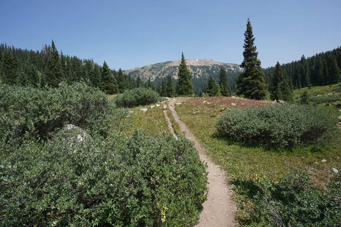
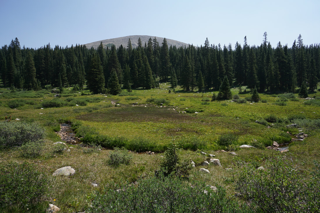
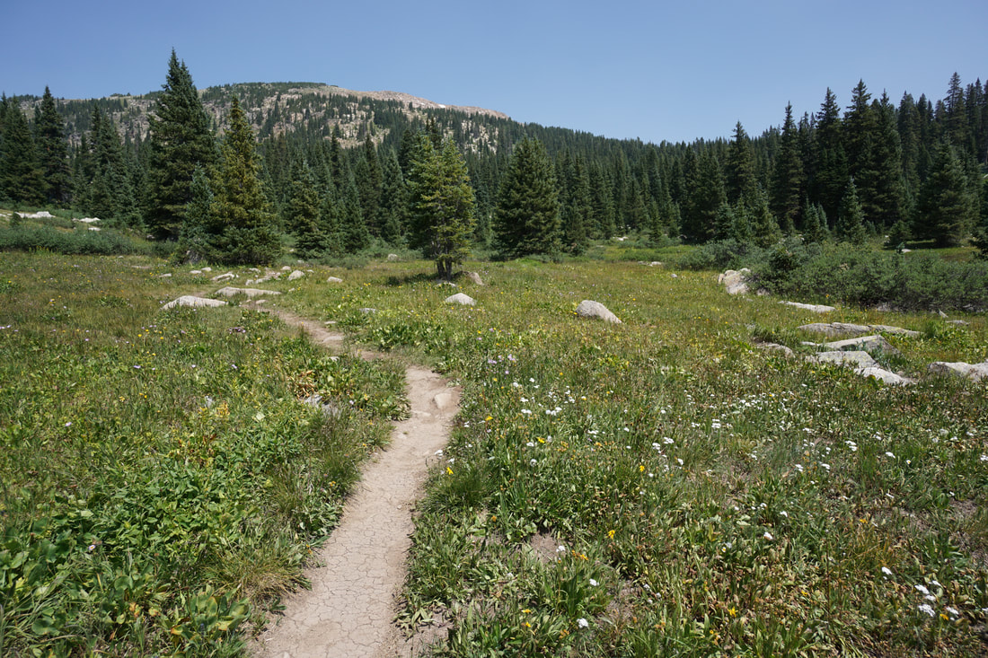
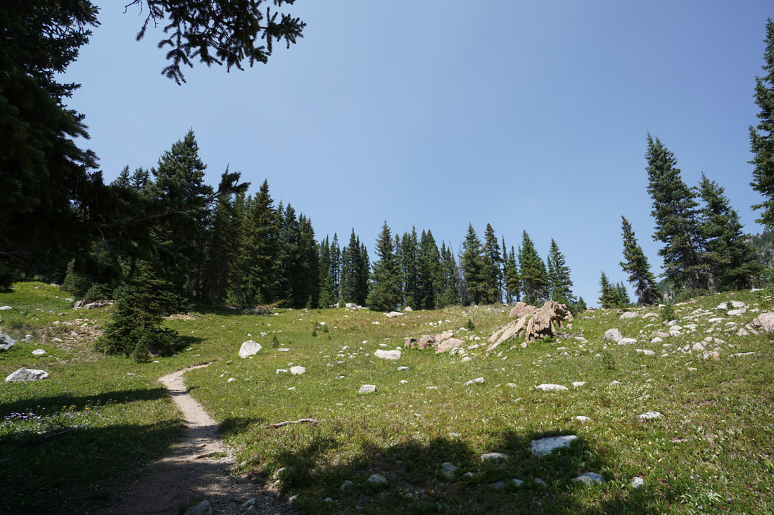
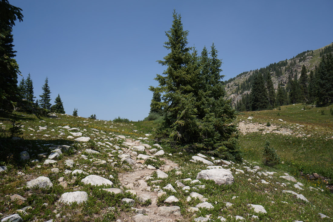
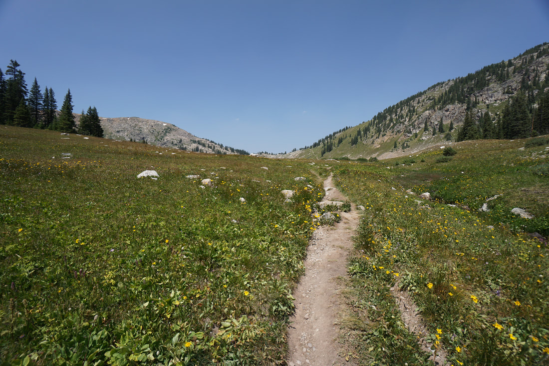
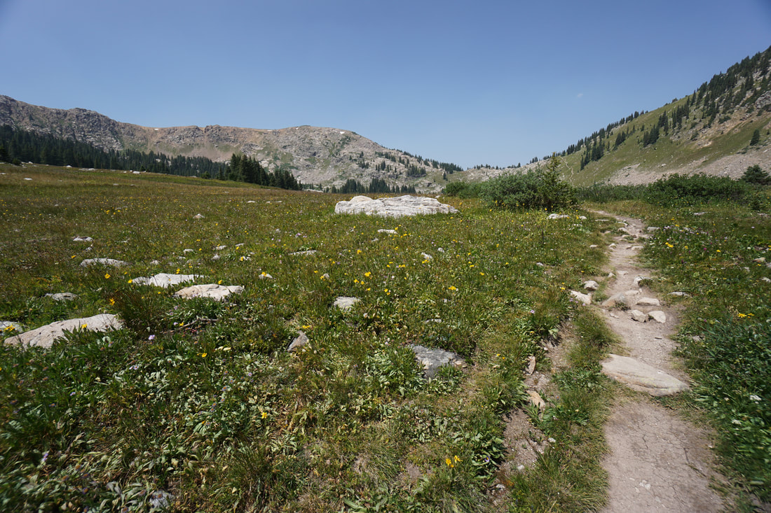
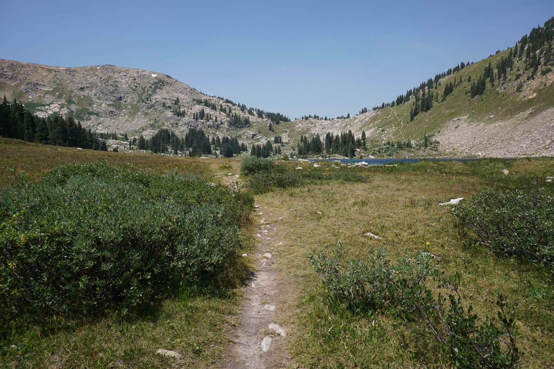
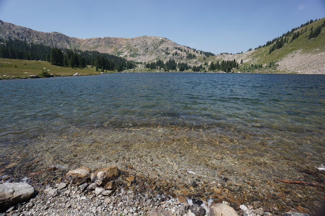
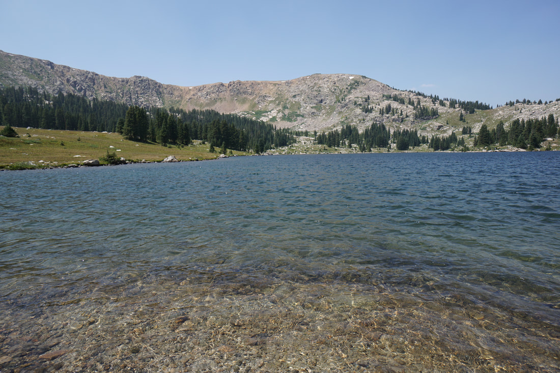
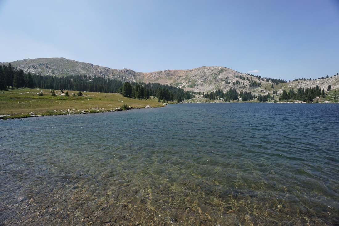
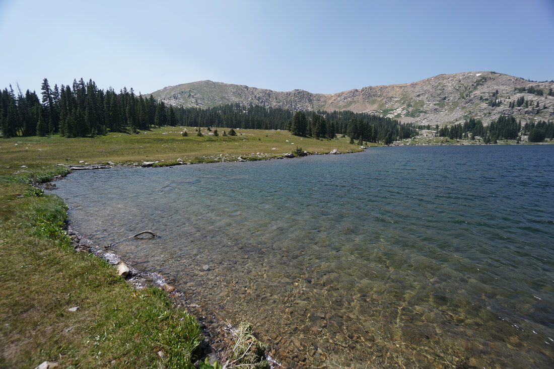
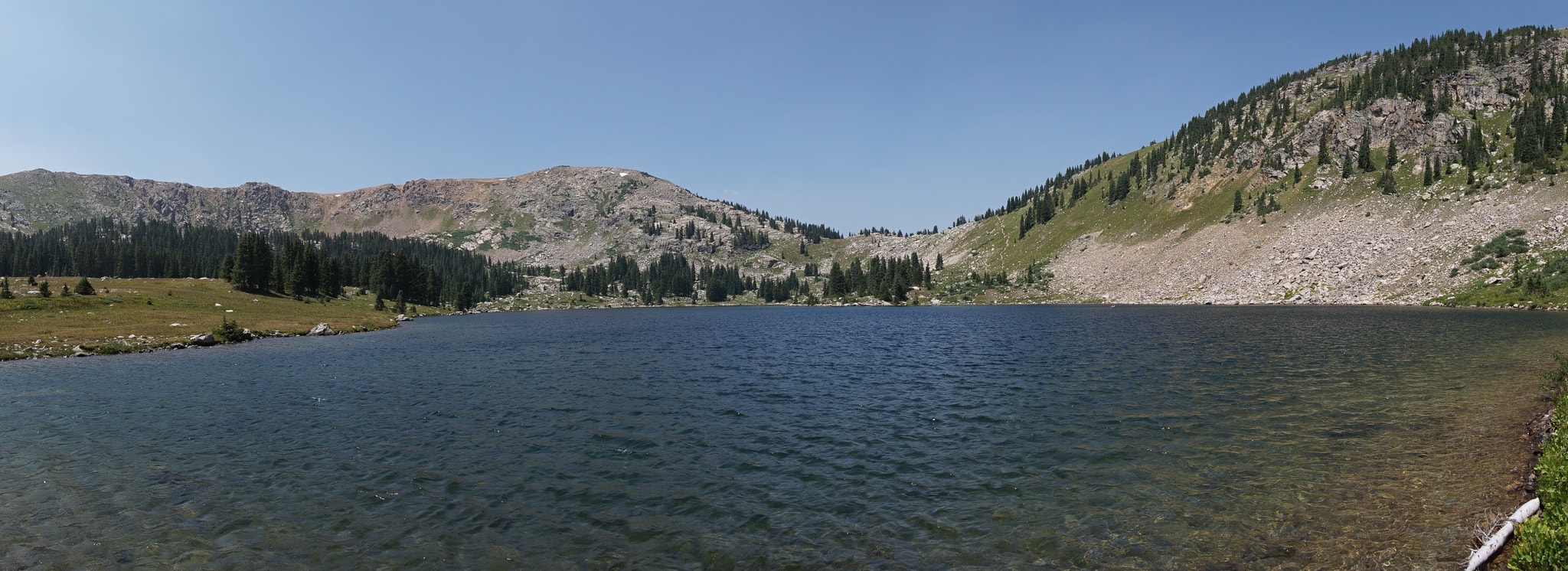
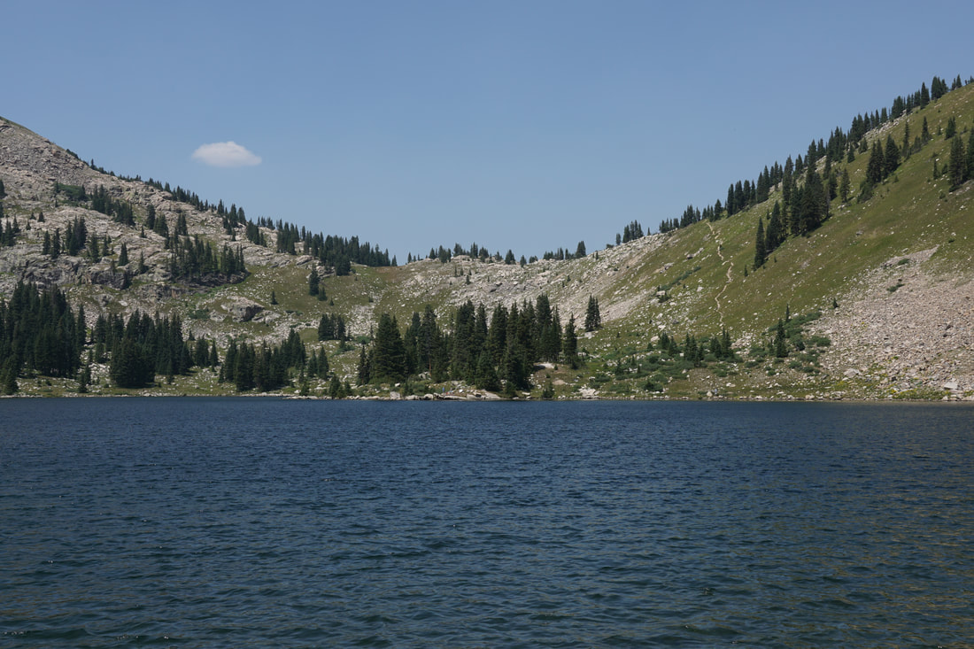
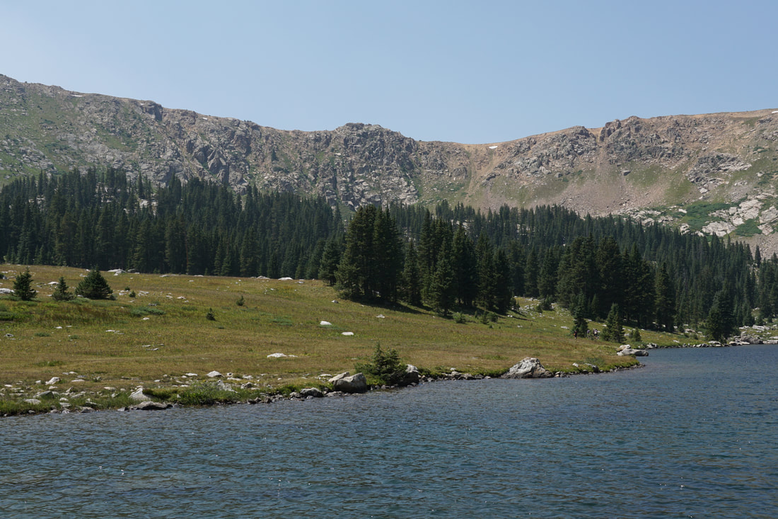
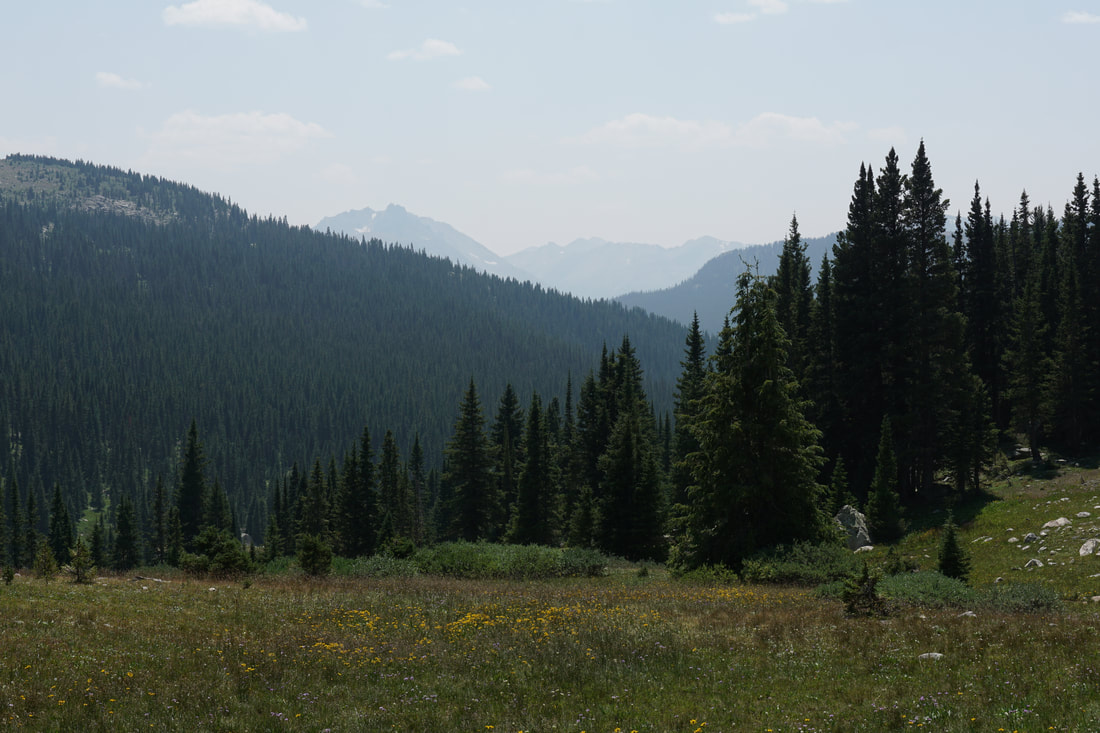
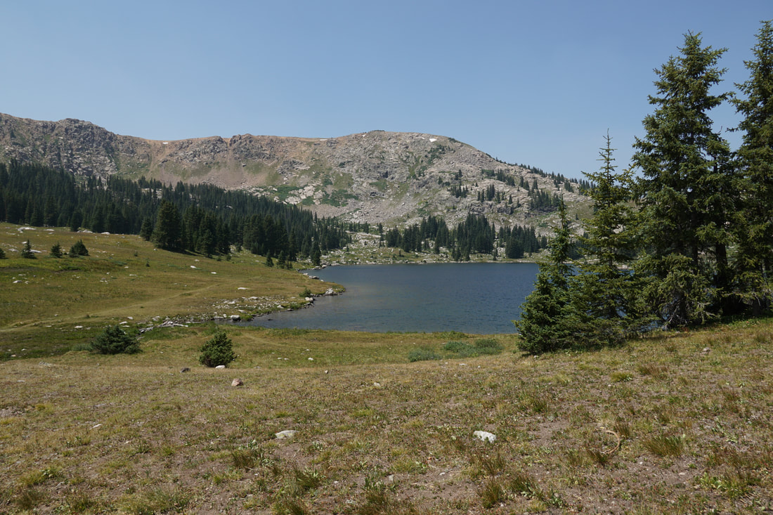
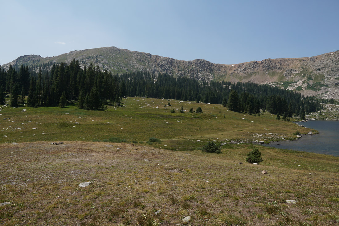
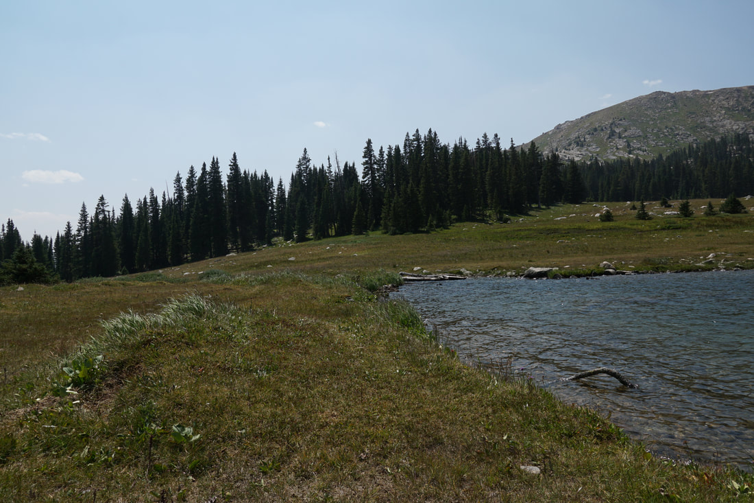
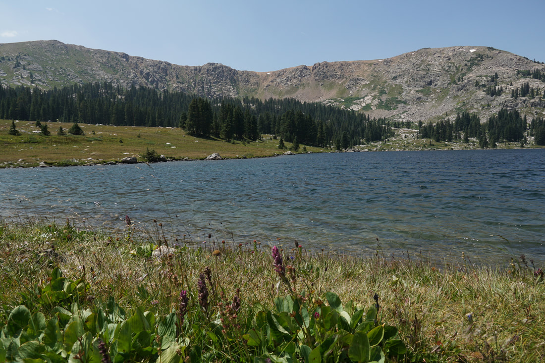
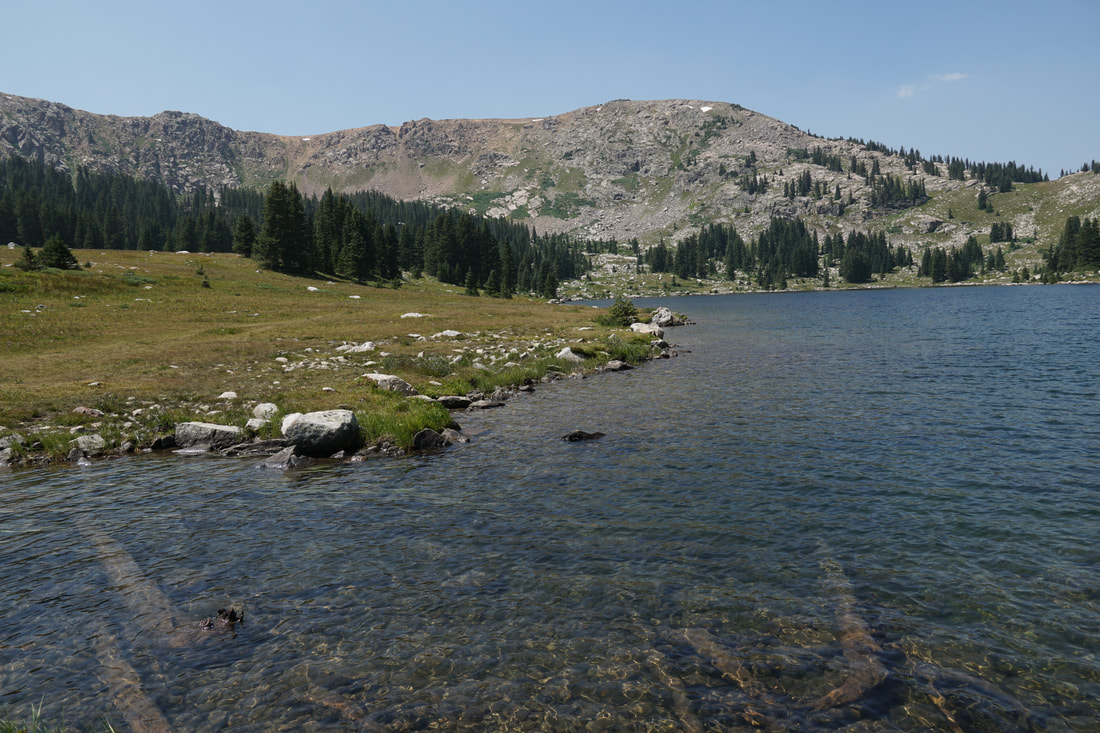
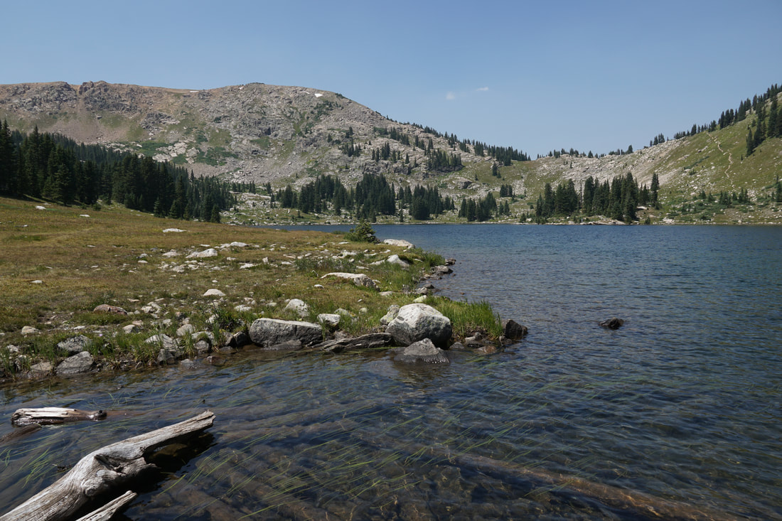
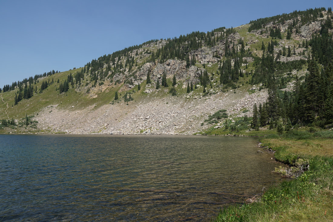
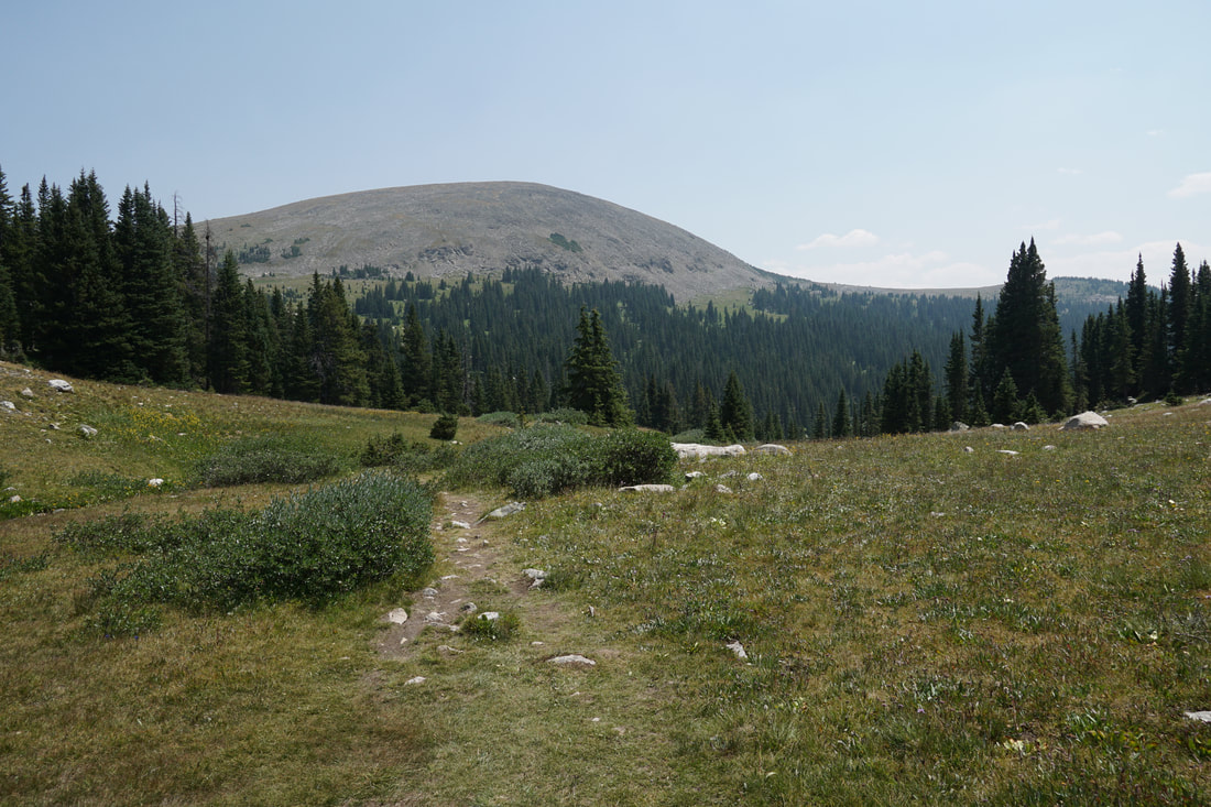
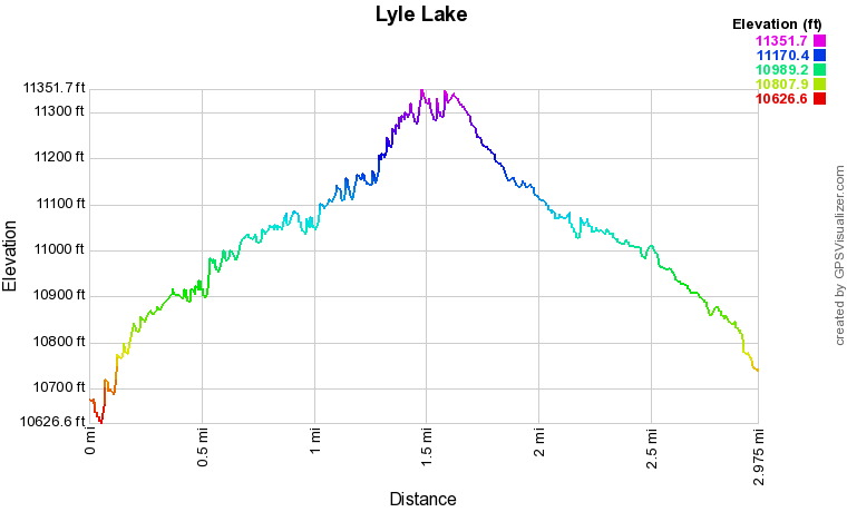
From the trailhead the hike enters the forest with immediate views to the south. Hike through forests and across clearings following Lyle Creek. Before too long you'll enter the wilderness area and climb up to a beautiful wide valley. The views to the south of the Sawatch Range should be incredible from this area, though on the day we hiked there were awful wild fires covering much of the state and the visibility was extremely hindered. Hike through the valley with the creek meandering down the middle and beautiful rock gardens all around. At about the 1 1/4 mile mark, the trail starts to climb through the woods up to the level shelf where Lyle Lake sits. The lake itself is beautiful and the surrounding mountains are the perfect backdrop. The official trail skirts the southern and eastern flanks of the lake before climbing out of the basin and on to Mormon Lake. That being said social trails take you around the entirety of the lake. Just south of the lake's inlet is a small hill with a wonderful view. Certainly worth checking out before you head back down the trail. I would have loved to see the mountains without the smoke hiding all the natural wonders that could typically be seen. When you are ready, head back down the Lyle Lake trail. This lake takes a good amount of effort to get to, most of it in your vehicle. However, the relatively easy access to the Holy Cross Wilderness makes this a great hike for all types of hikers. Great for kids, great for an easy backpacking trip, and a great starting point for unlimited adventures in the Sawatch Range. |
|