|
|
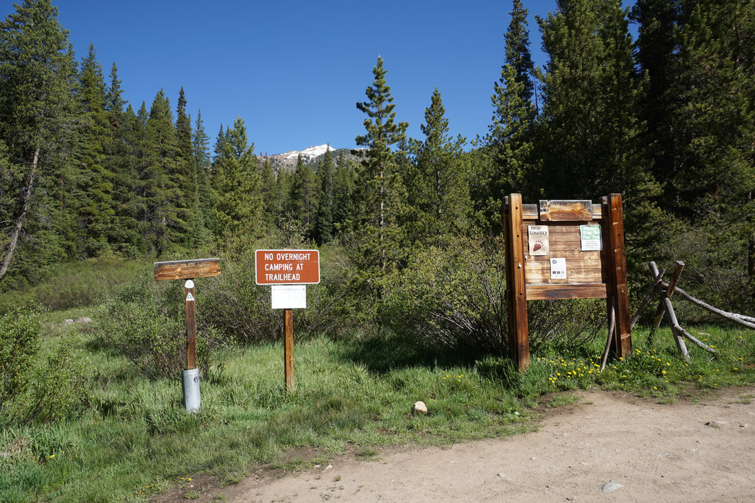
Directions: From Hwy 24, just north of Leadville, head west on Route 99 following signs to Turquoise Lake. After the road curves to the South, turn right (west) at the Leadville Junction TH and cross the trail tracks onto Turquoise Lake Road. When you enter the Turquoise Lake Recreation Area, turn right and follow Turquoise Lake Road along the north shore of the lake. This is a very pretty drive. Continue along to the western end of the lake to the Timberline Lake Trailhead.
|
The area around Turquoise Lake, west of Leadville, is a popular spot for hikers looking to explore the Holy Cross Wilderness. The most popular hike in the area is Timberline Lake but there is another option starting from the Timberline Lake Trailhead. If you want to avoid most of the crowds, then follow the Continental Divide Trail (CDT) / Colorado Trail to Galena Lakes and Bear Lake.
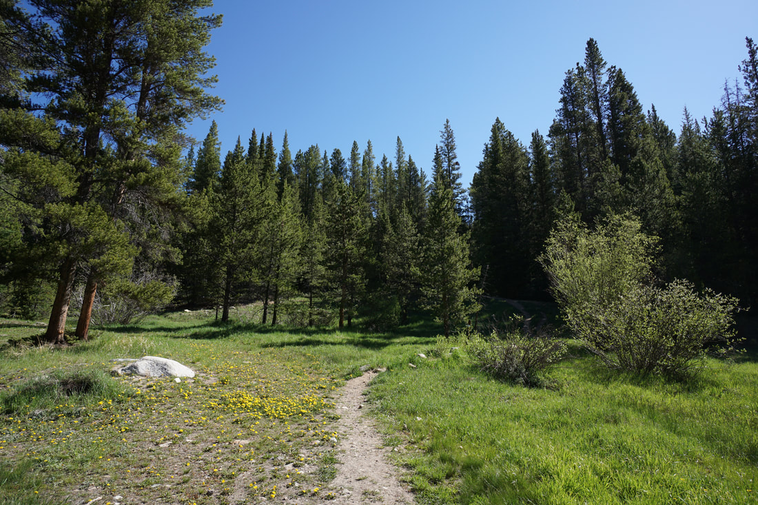
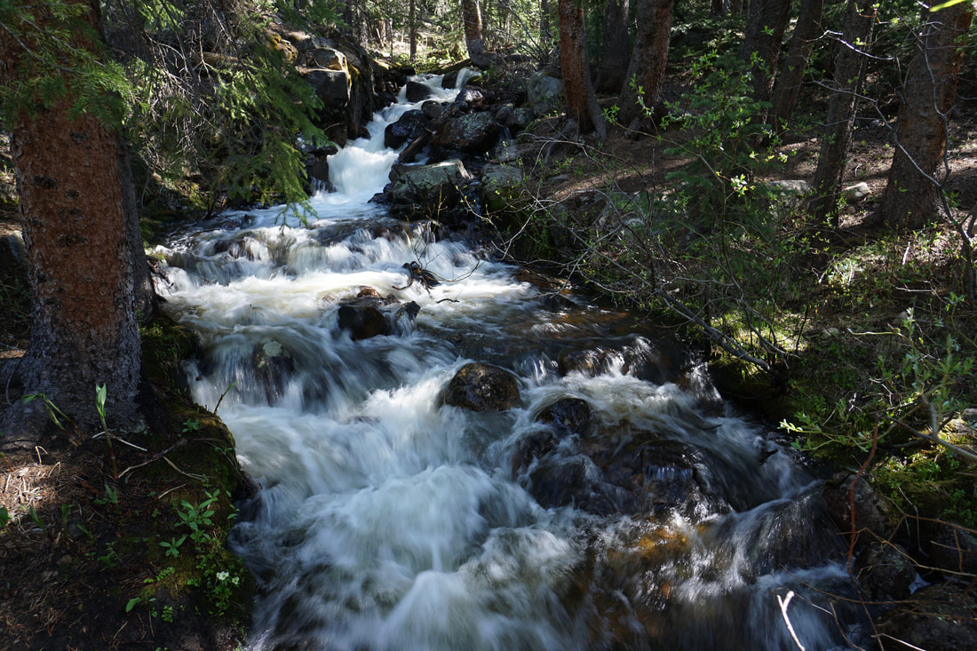
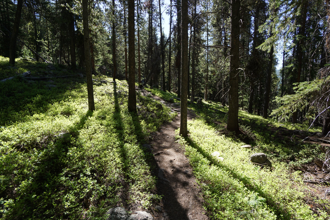
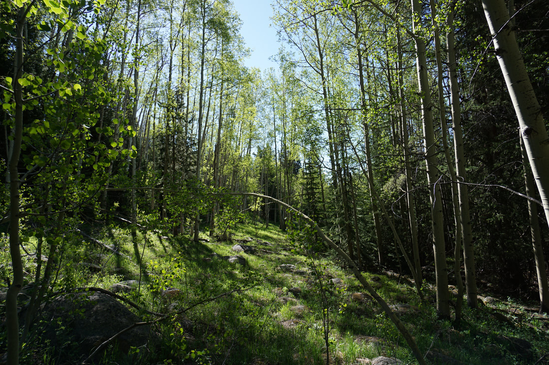
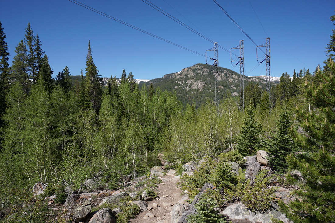
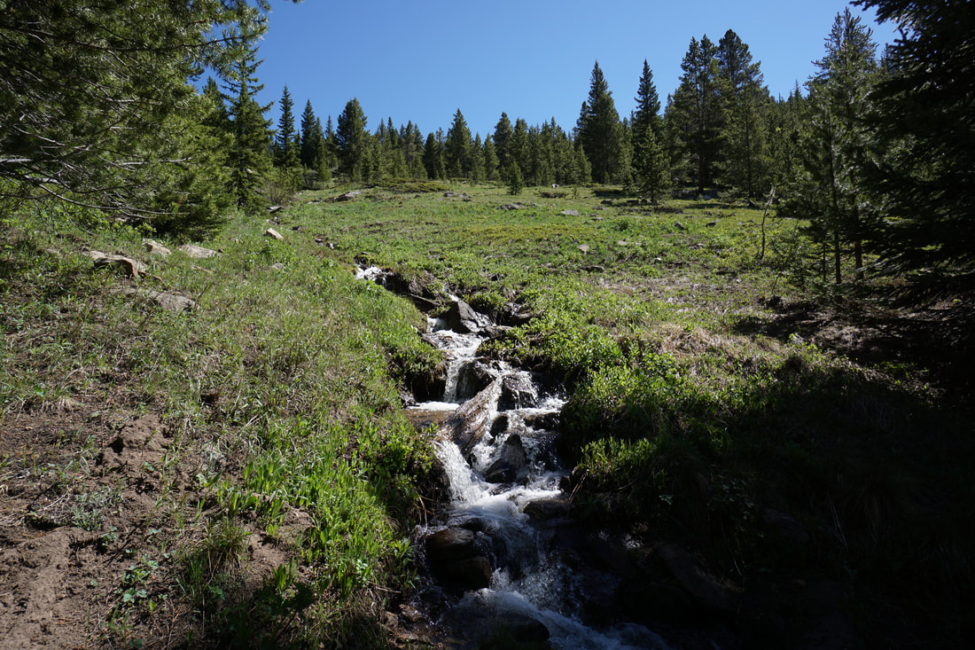
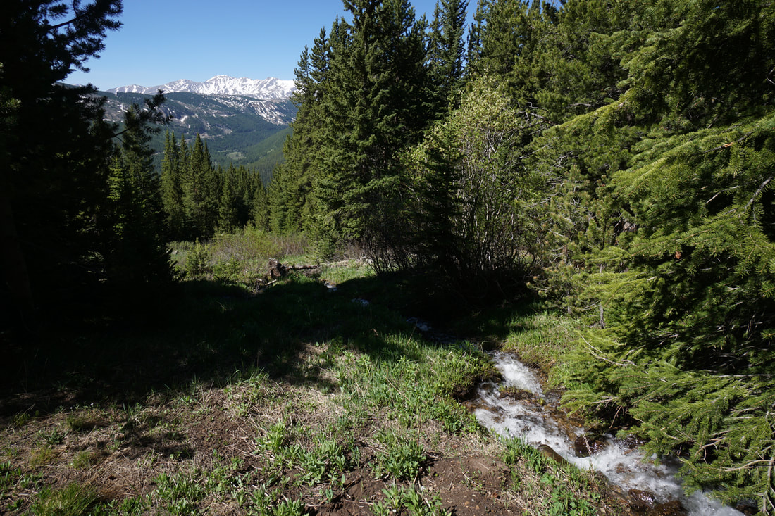
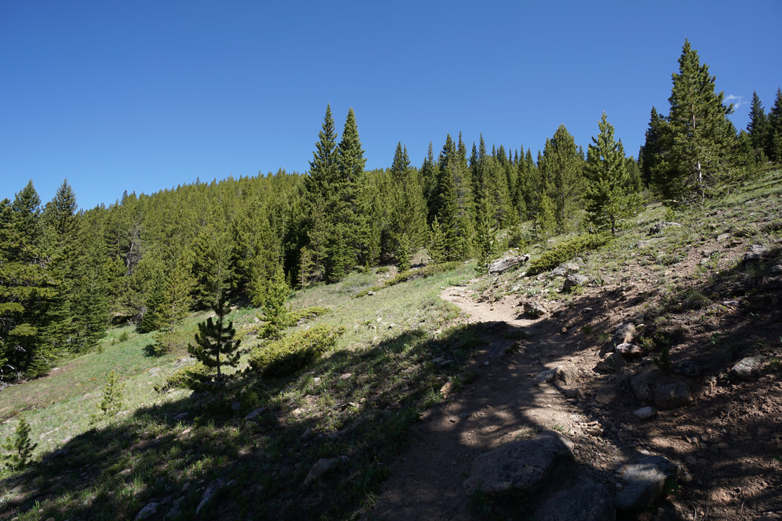
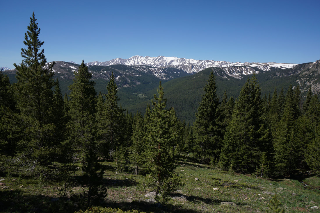
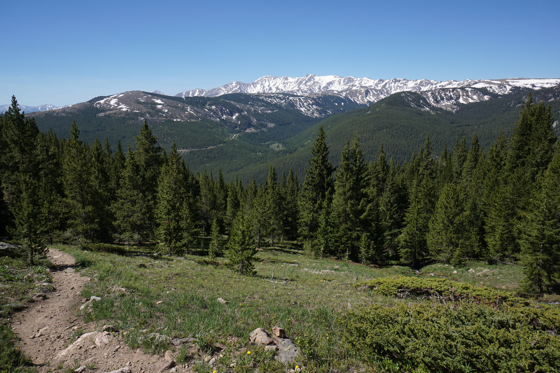
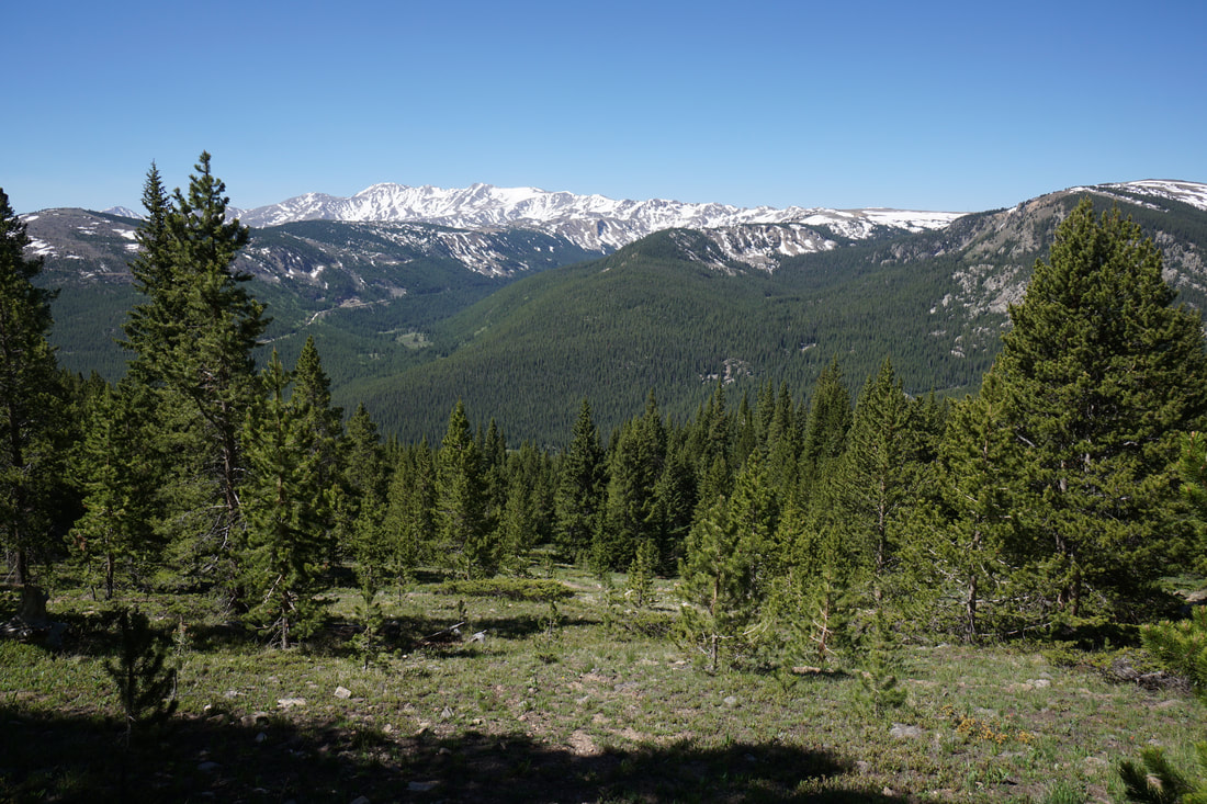
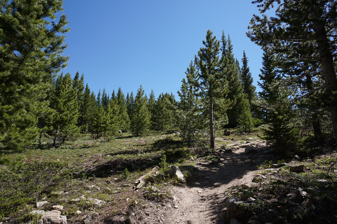
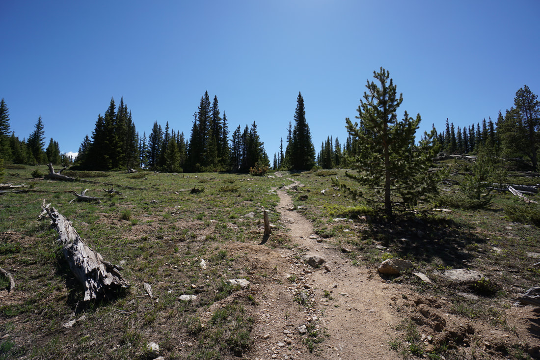
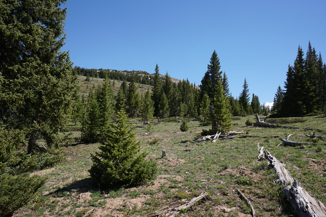
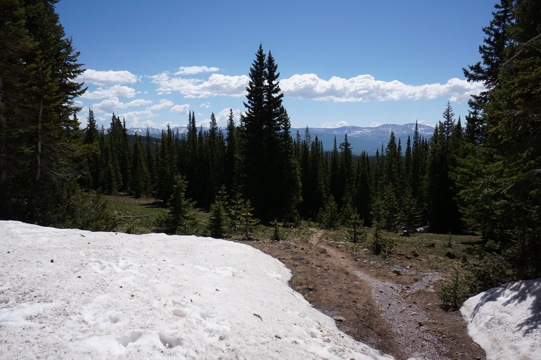
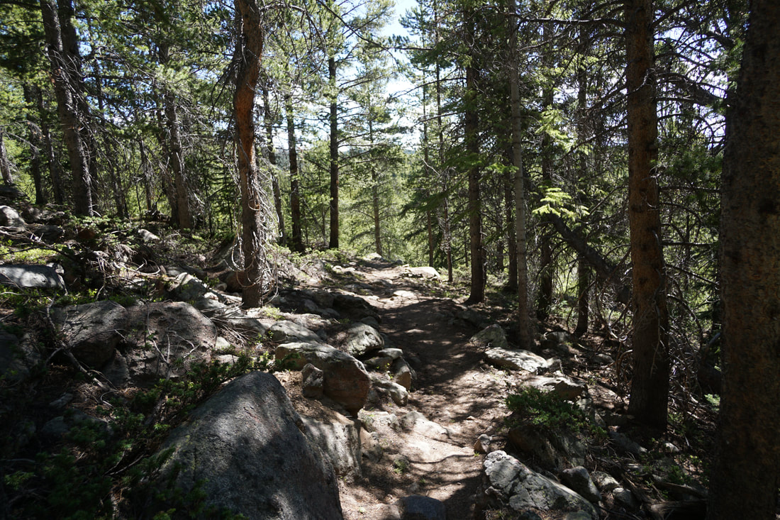
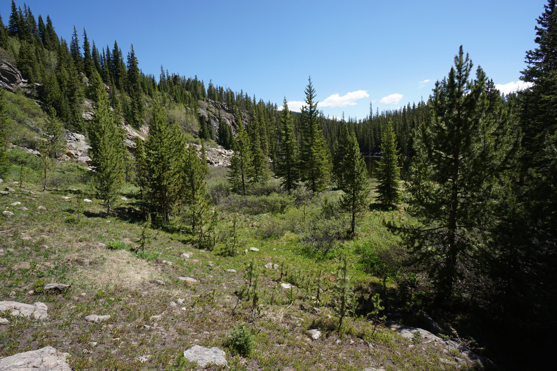
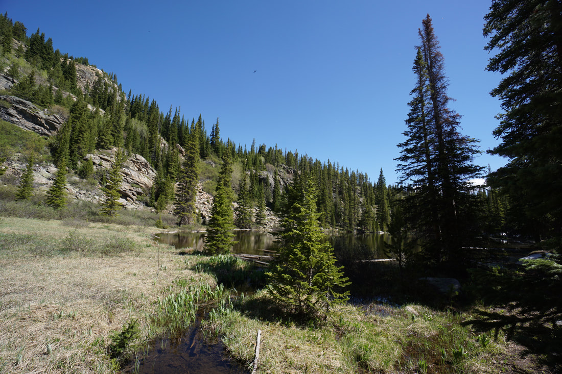
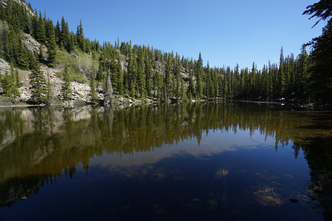
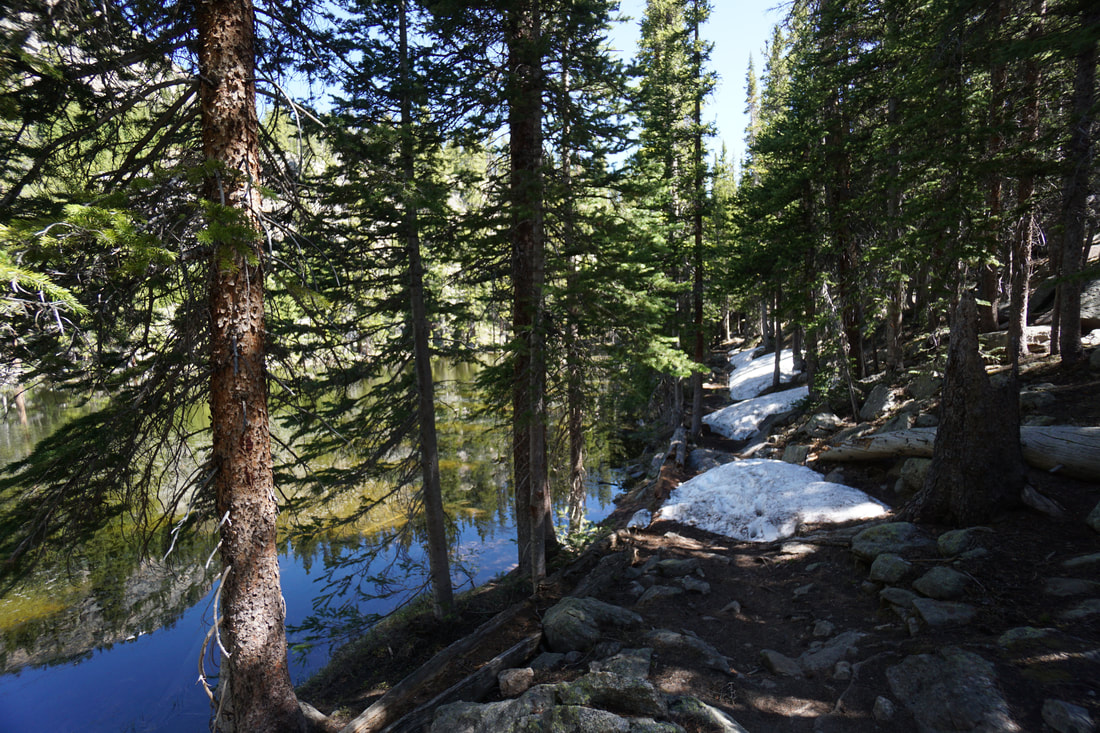
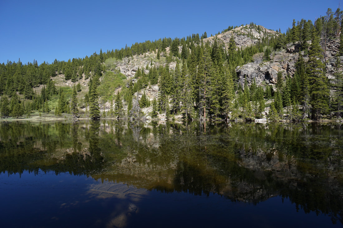
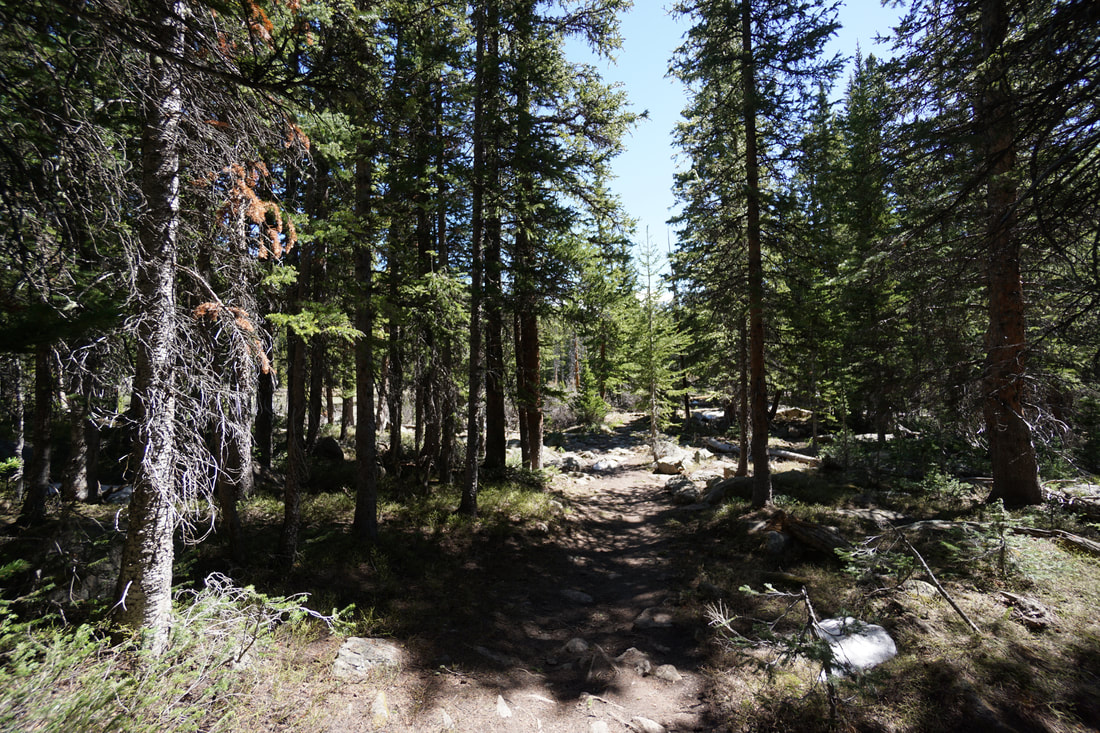
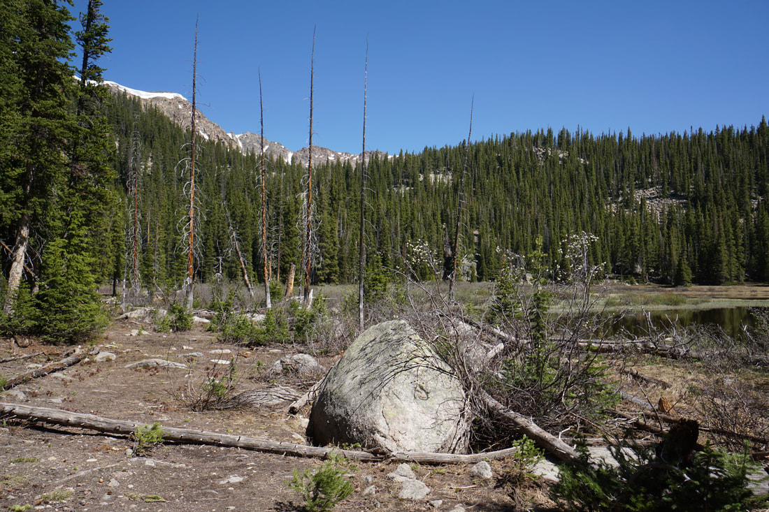
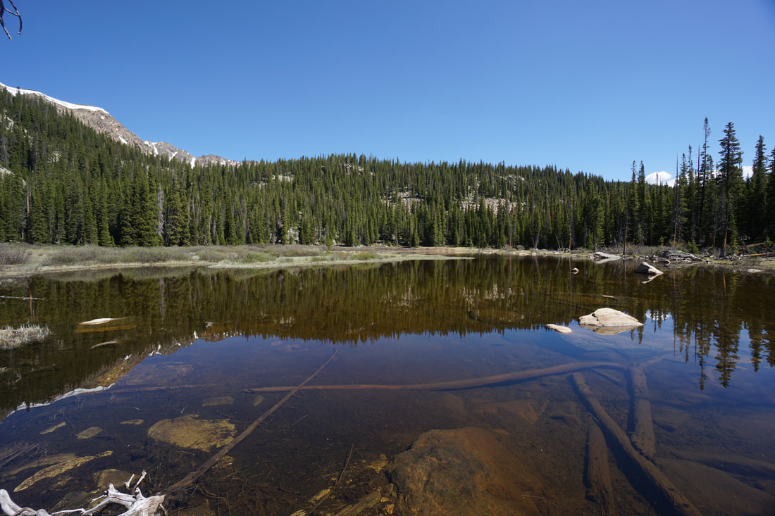
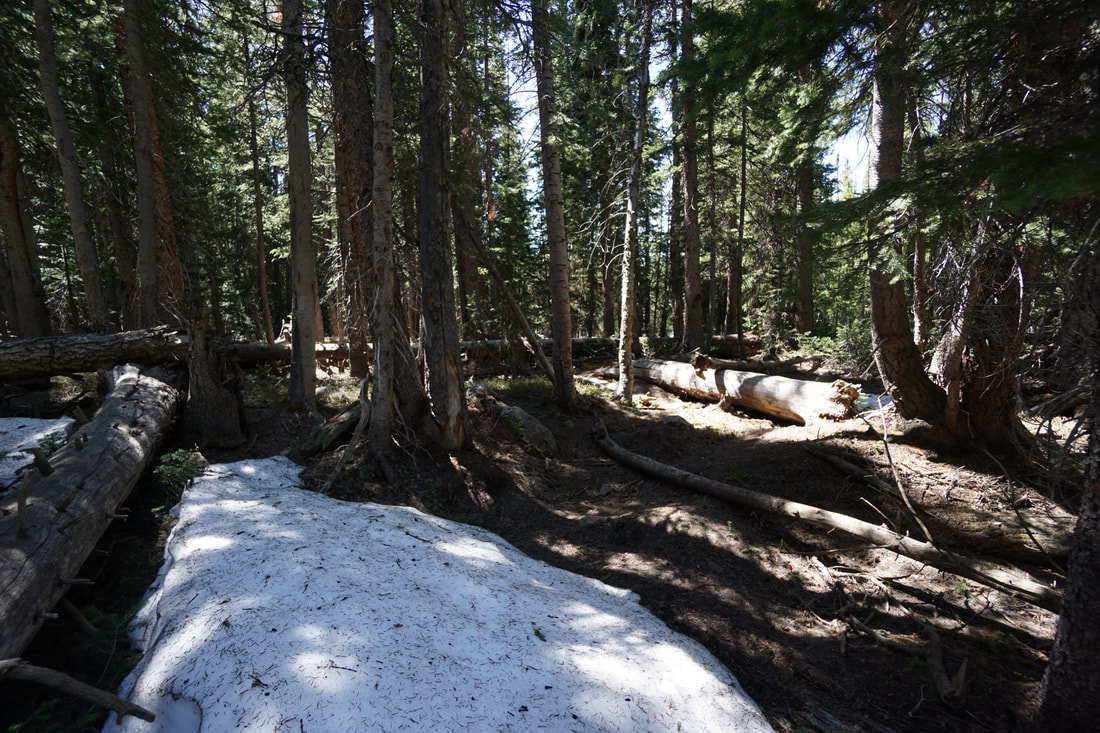
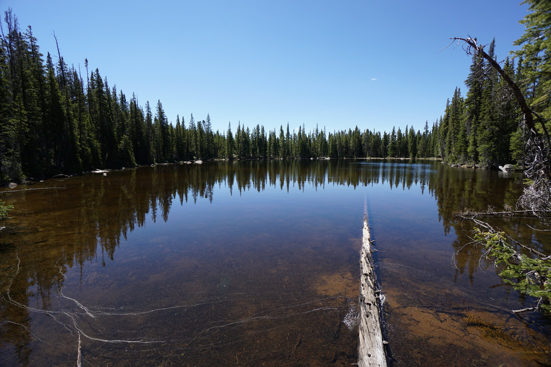
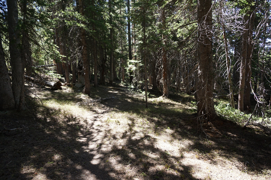
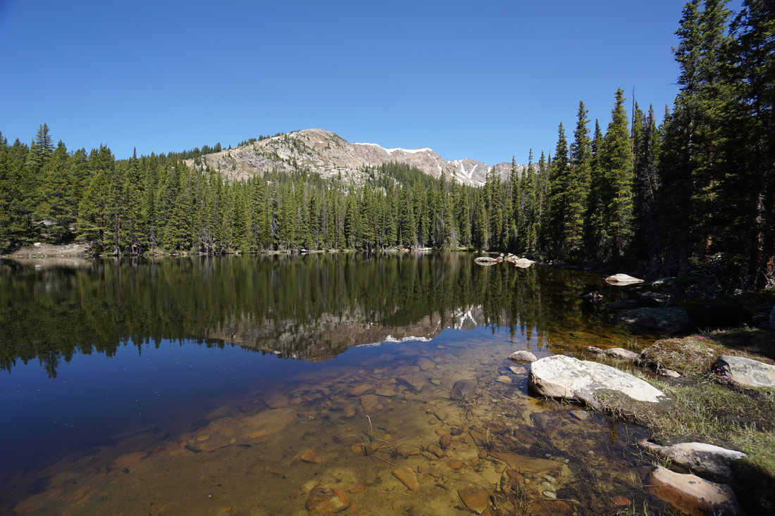
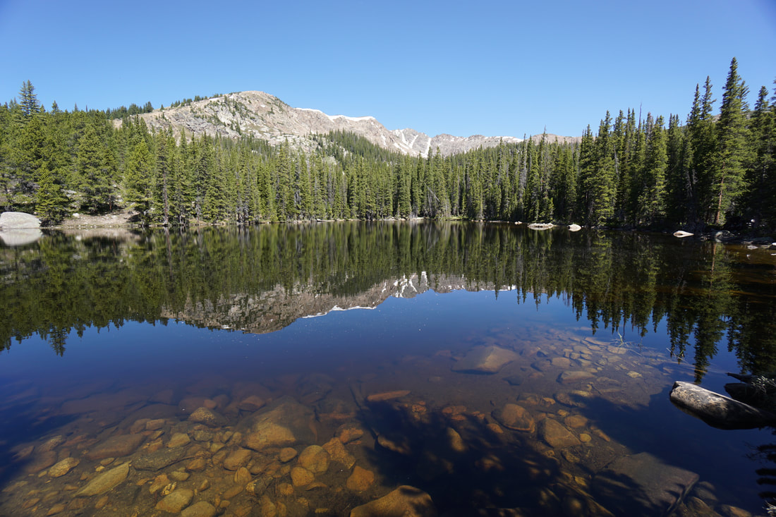
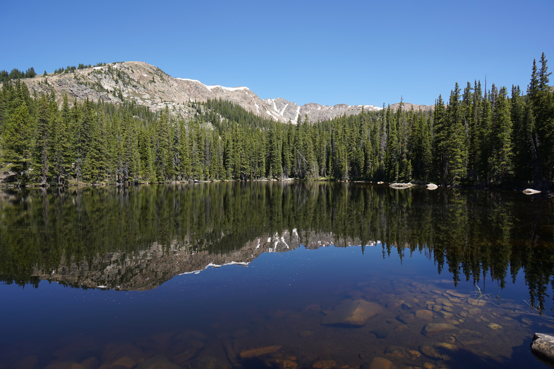
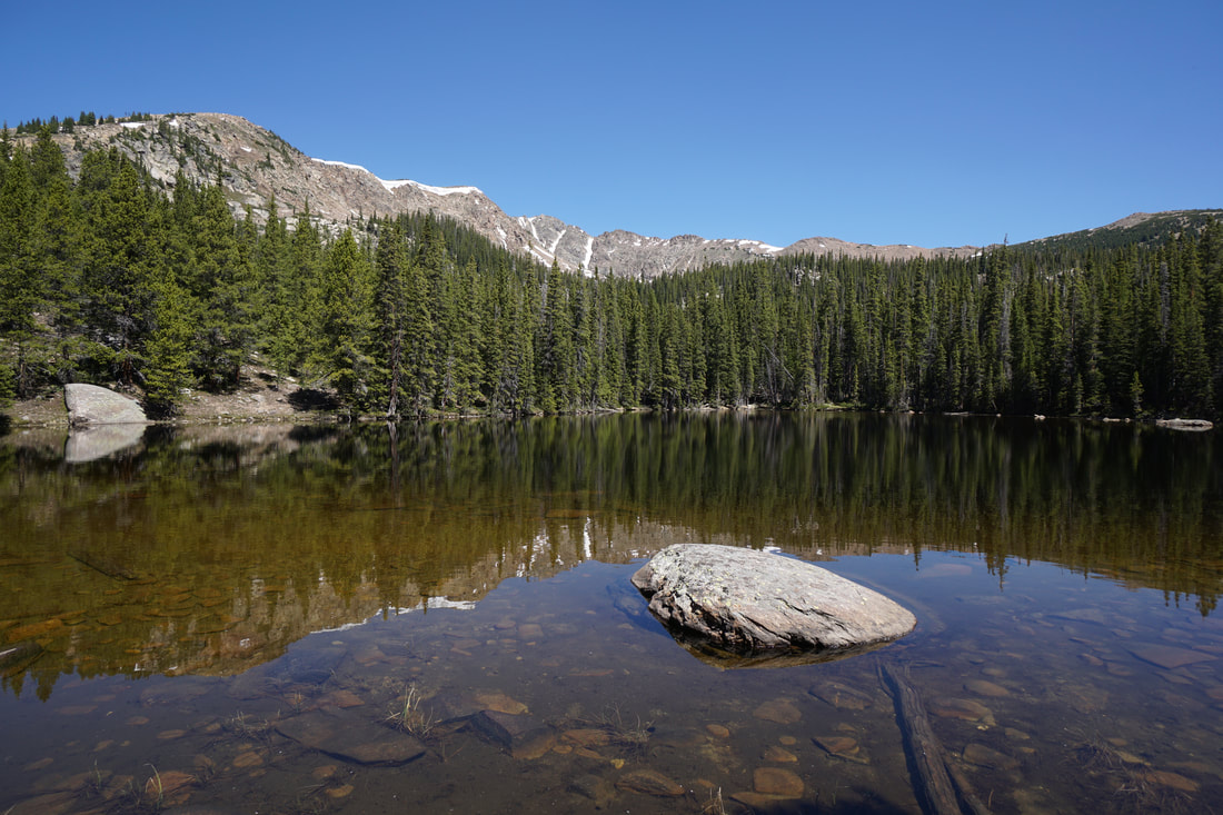
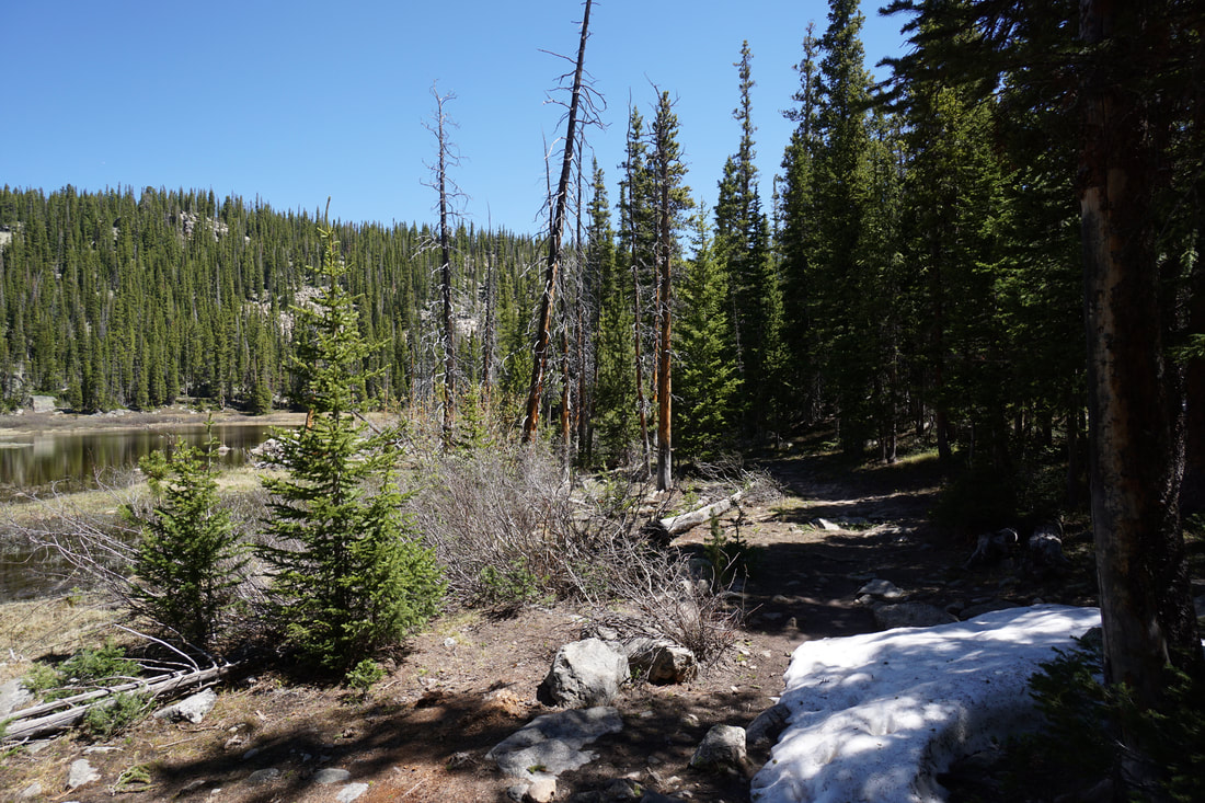
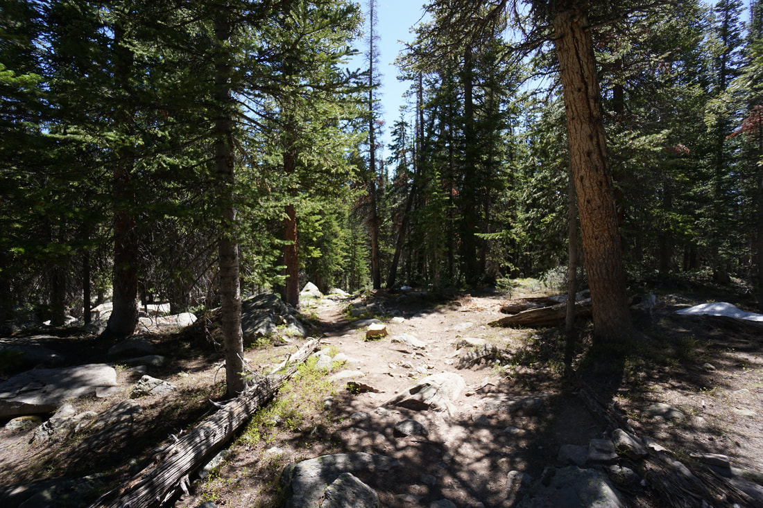
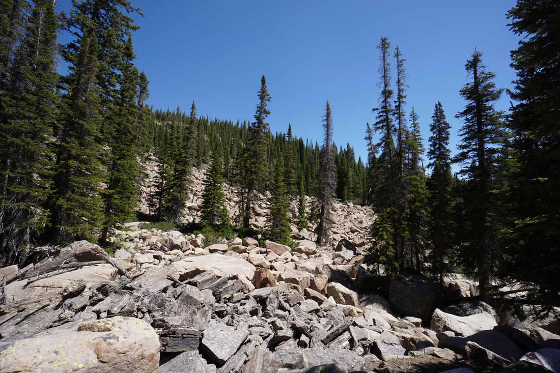
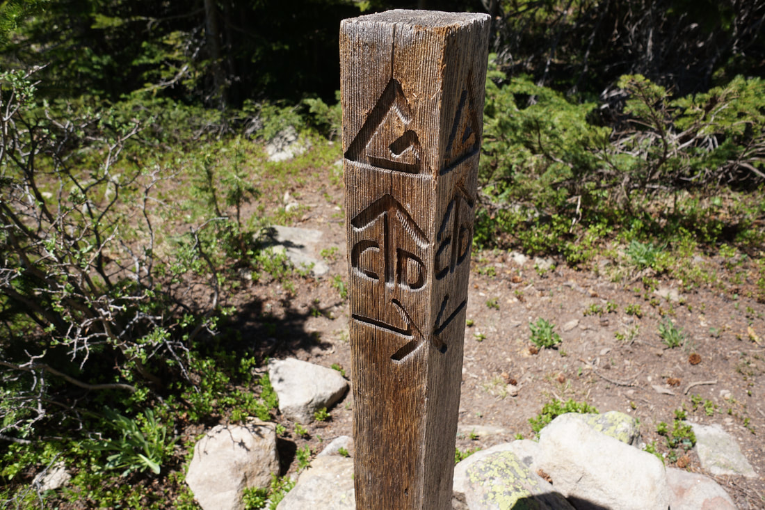
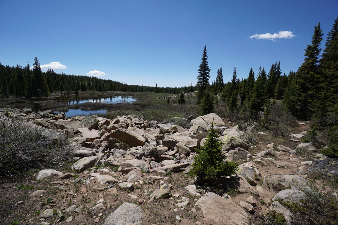
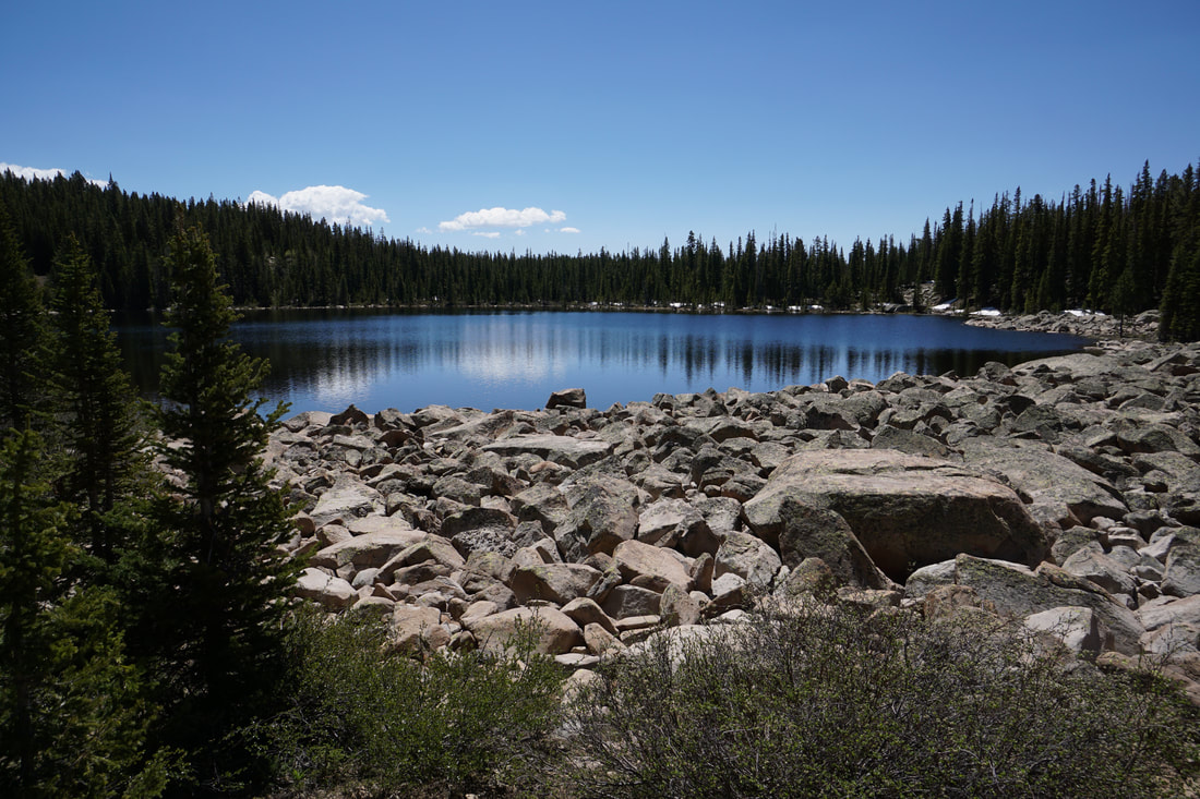
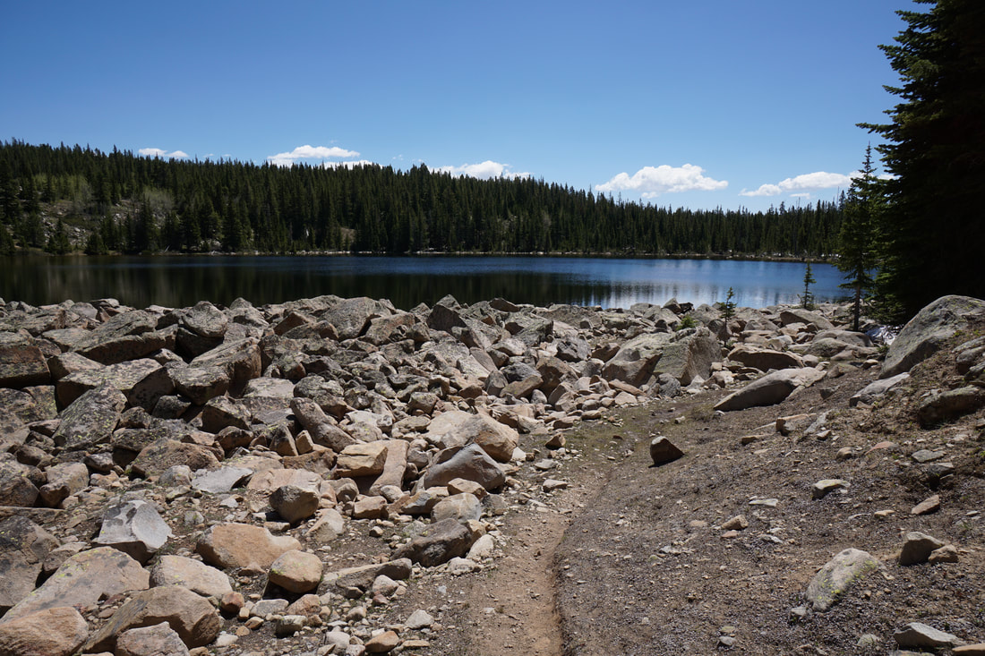
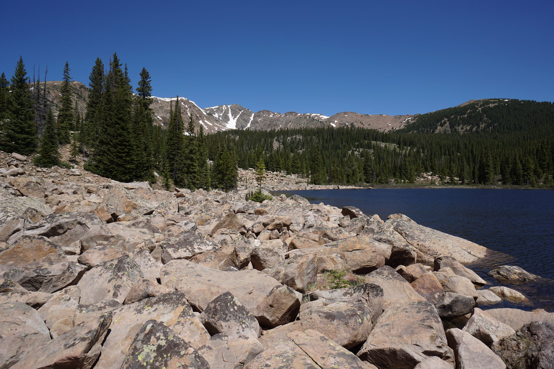
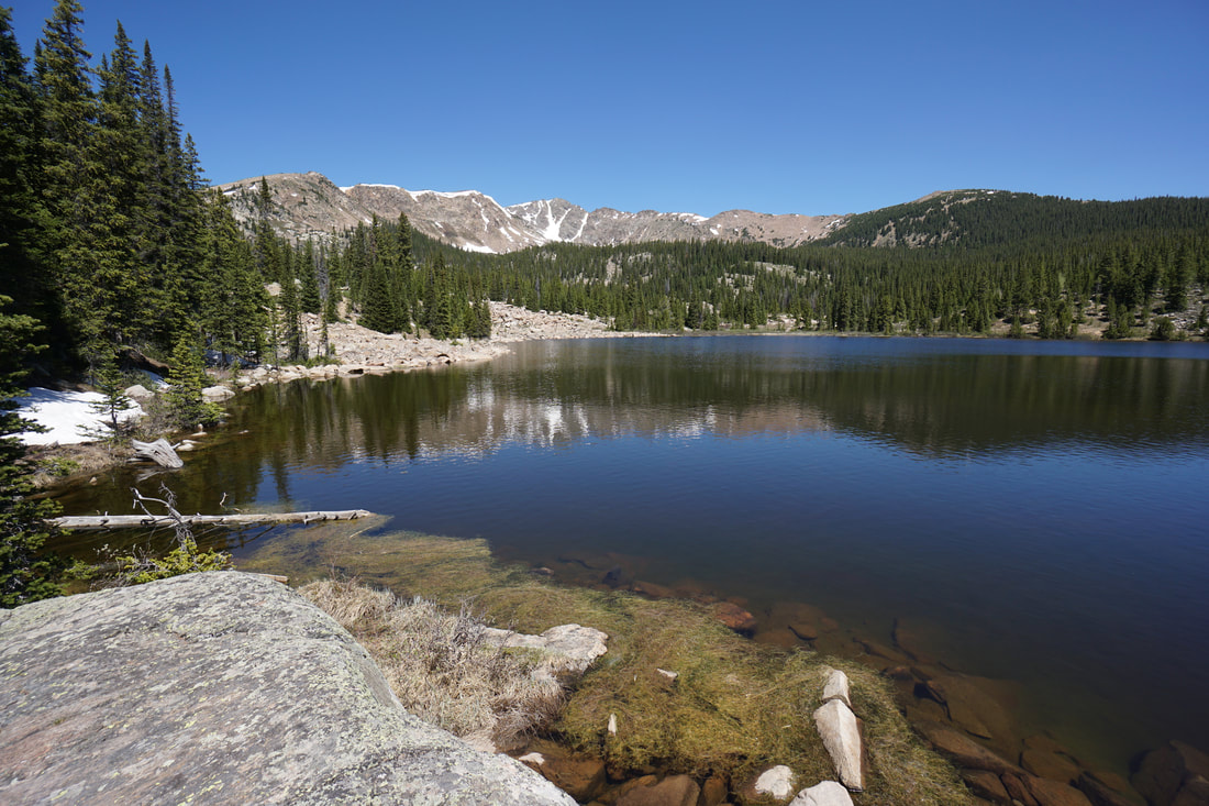
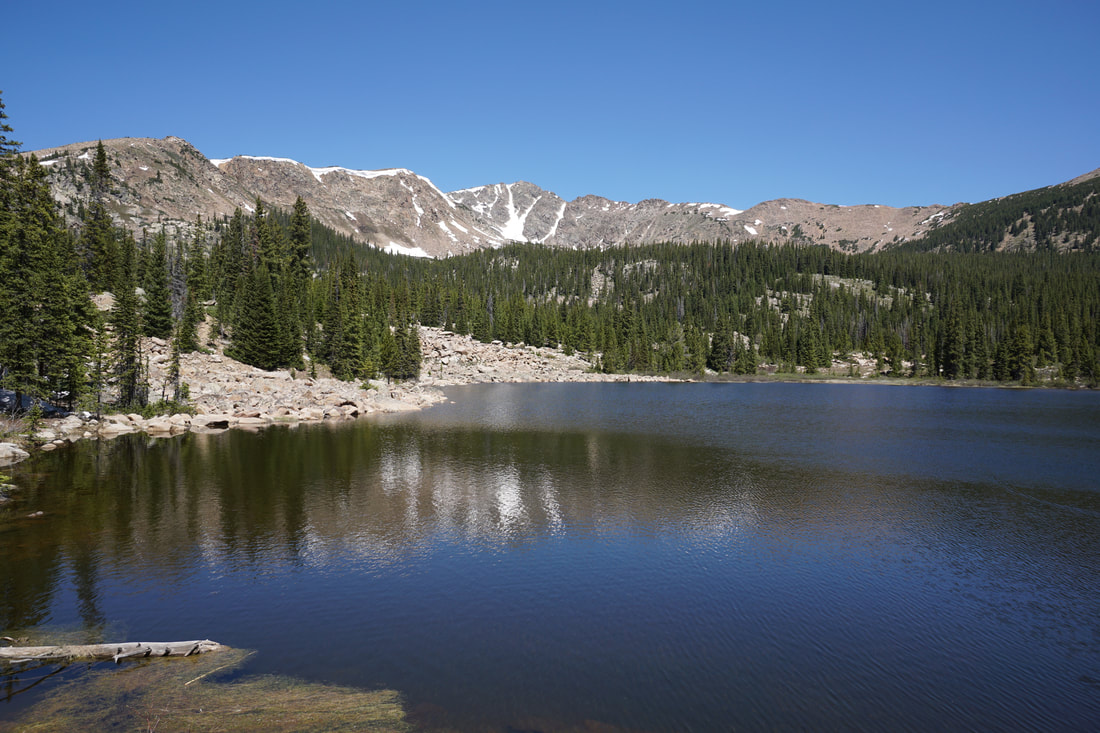
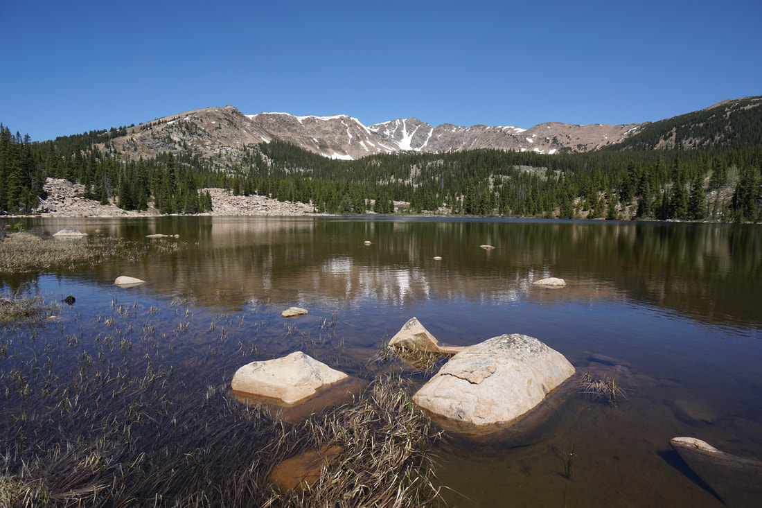
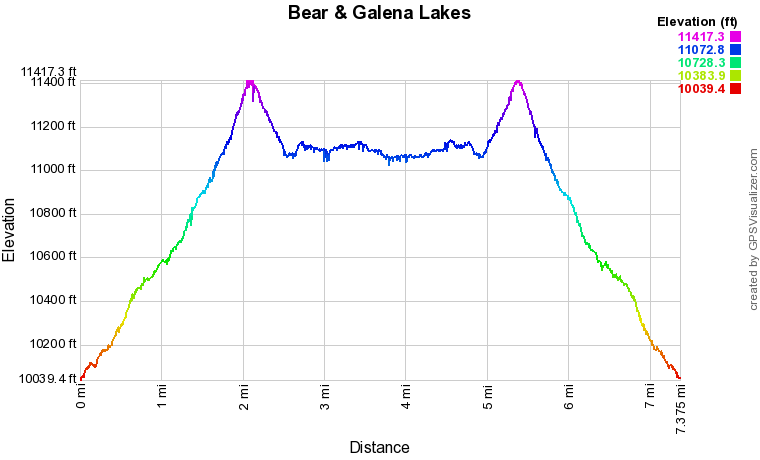
From the Timberline Lake Trailhead, turn right onto the CDT and head into the forest. The first 1 1/2 miles of the hike traverses the cool and shady pine forest through aspen groves and across small creeks. As you gain some elevation you'll soon break out of the trees and follow some switchbacks up an alpine meadow to the pass at about 11,400 ft. The views from the pass are incredible with the peaks of the Holy Cross and Mount Massive Wilderness Areas to the west taking center stage. Continue over the pass and start descending, still following the CDT. It doesn't take long (just half a mile) to reach the first of the three Galena Lakes. The first lake is a small but pretty lake that cuts into the forested hillside. This lake is right along the trail and impossible to miss. About 1,000 ft further along the trail you'll come to the second Galena Lake, this lake is much larger and has some nice views of the mountains leading up to Galena Mountain. To find the third, and most scenic Galena Lake, you need to do a little searching. The lake is due south from the 2nd Galena Lake. Along the southern shore of the lake you'll walk over 2 small wood footbridges. After these bridges, keep your eyes to the right (south) for a social trail. There is an easy to follow social trail that leads to the lake and circles around it. Once you find it it's easy to follow. If you are hiking in the earlier season then snow cover might make it harder to follow. This Galena Lake is beautiful and has some wonderful views of Galena Mountain. This is a great camping spot and backcountry sites can be found along its shores. When you return to the CDT, turn right and continue west to reach Bear Lake. Bear Lake is located south off the CDT and even though most maps don't show a trail, there is a clear, official trail leading all the way to the southern end of the lake. The lake is easy to find, there is a trail post showing you where to leave the CDT and start heading south. The trail follows the western side of some smaller lakes and wetlands and climbs over some boulder fields before reaching Bear Lake itself. The views from Bear Lake are the highlight of the hike and there is a large flat boulder on the southern shore that is perfect for relaxing in the summer sun. The trail continues from here but it's unclear if the trail continues around the entire lake. I suggest going back the way you came to return to the CDT. Once back to the CDT, head back up to the pass and back down to the Timberline Lake Trailhead. |
|