GO HIKE COLORADO
Get in Touch:
  • HOME
  • ABOUT
  • HIKES BY REGION
    • DENVER AREA >
      • Denver Mountain Parks
      • Jefferson County Open Space
      • Lakewood Parks
      • Denver Area Greenways
    • BOULDER AREA
    • DOUGLAS COUNTY
    • FORT COLLINS AREA
    • COLORADO SPRINGS AREA
    • FRONT RANGE
    • TENMILE & MOSQUITO RANGES
    • GORE RANGE
    • SANGRE DE CRISTO MOUNTAINS
    • PARK RANGE
    • SAWATCH RANGE
    • ELK MOUNTAINS
    • SAN JUAN MOUNTAINS
    • THE FLAT TOPS
    • GRAND MESA
    • COLORADO PLATEAU
    • EASTERN PLAINS
  • NATIONAL PARK HIKES
    • BENT'S OLD FORT NATIONAL HISTORIC SITE
    • BLACK CANYON OF THE GUNNISON NATIONAL PARK
    • COLORADO NATIONAL MONUMENT
    • CURECANTI NATIONAL RECREATION AREA
    • DINOSAUR NATIONAL MONUMENT
    • FLORISSANT FOSSIL BEDS NATIONAL MONUMENT
    • MESA VERDE NATIONAL PARK
    • ROCKY MOUNTAIN NATIONAL PARK
    • GREAT SAND DUNES NATIONAL PARK
    • HOVENWEEP NATIONAL MONUMENT
    • SAND CREEK MASSACRE NATIONAL HISTORIC SITE
    • YUCCA HOUSE NATIONAL MONUMENT
  • HIKES BY CATEGORY
    • HIKES TO ALPINE LAKES
    • HIKES TO PEAKS & PASSES
    • HIKES THROUGH CANYONS
    • HIKES WITH FALL COLORS
    • HIKES ALONG THE I-70 CORRIDOR
    • HIKES ON PAVED TRAILS
    • HIKES FOR KIDS
    • HIKES TO WATERFALLS
    • HIKES ALONG RIVERS
    • HIKES WITH ROCK FORMATIONS
    • HIKES WITH WILDFLOWERS
    • WINTER HIKES
  • NEWS
  • WEBCAMS
  • $UPPORT GHC
  • INTERACTIVE MAP

Lost Man Reservoir
White River National Forest

Date Hiked: June 16, 2013

Distance: 1 mi (RT)
Elevation Gain: 130ft
Elevation Max: 10,636 ft
Trailhead Lat/Long: 39.121938º N; 106.623997º W
Managing Agency: U.S. Forest Service
Fee: None

Lost Man Campground Webpage (USFS)
Picture


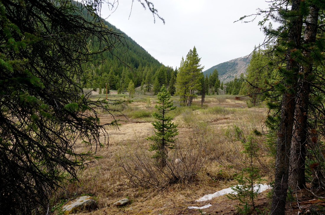
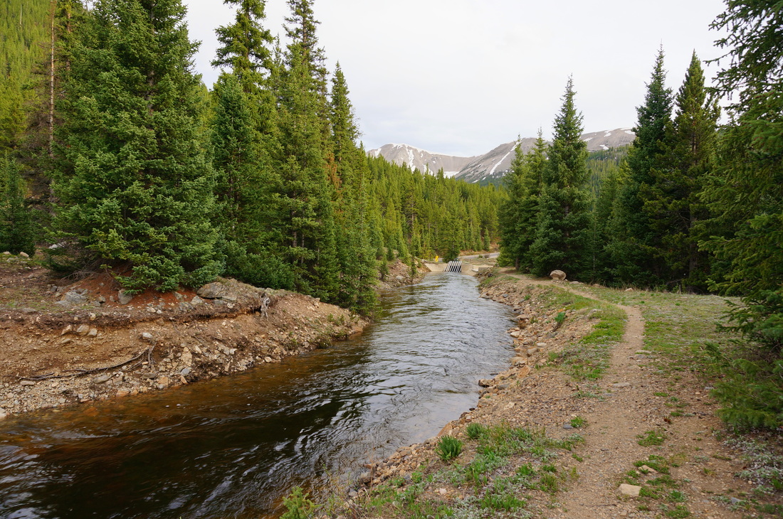
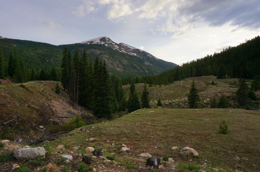
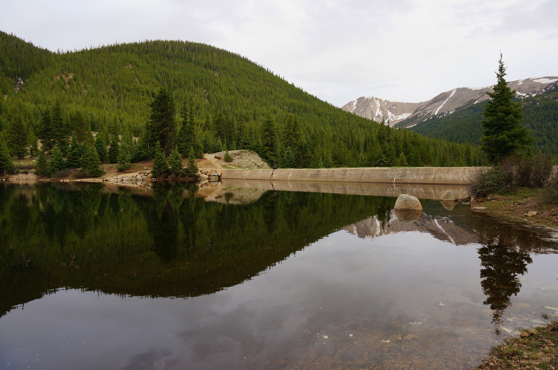
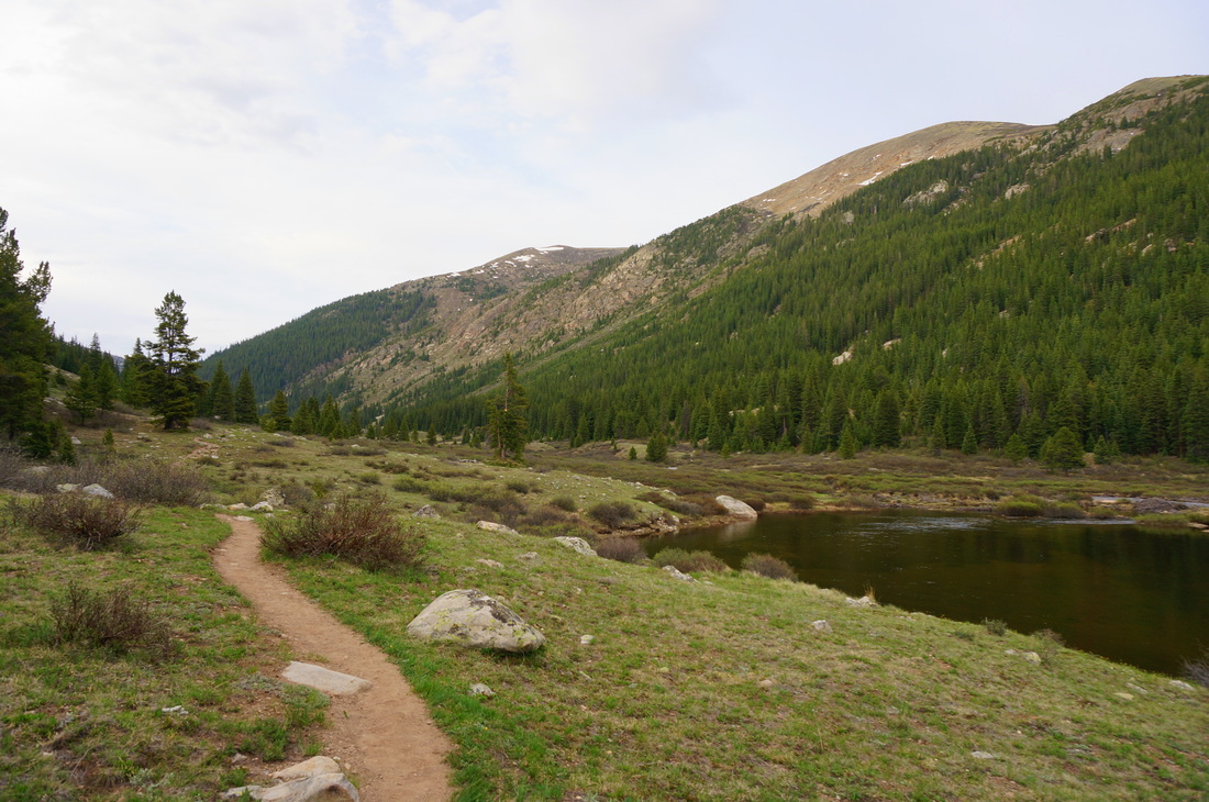
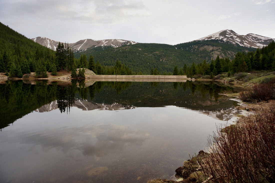
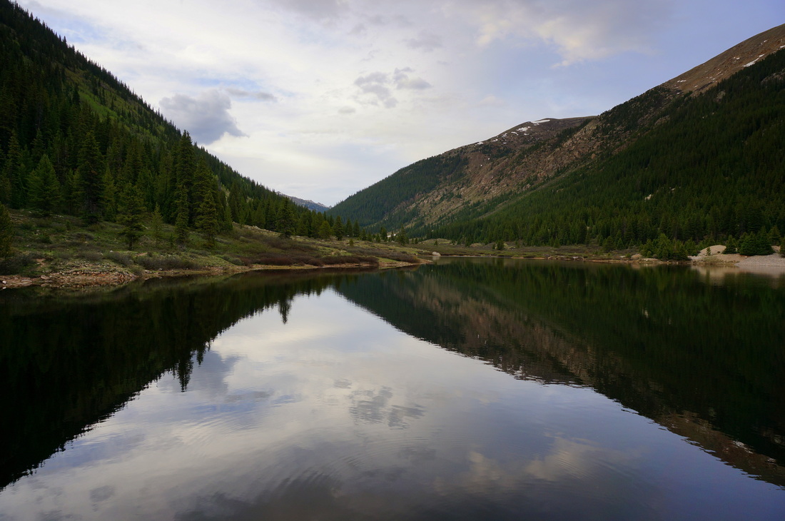
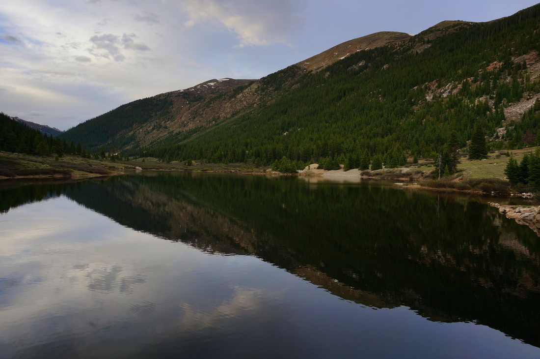
Directions:  The trailhead for Lost Man Reservoir is located across from the Lostman Campground off of Hwy 82 (Independence Pass Road) just west of Independence Pass.

This short but sweet hike makes for a wonderful evening hike if you are camping at the Lostman Campground, or if you are just looking for a short hike off the road on your way down to Aspen. Follow the sign at the trailhead to Lost Man Reservoir.  The trail starts by following the creek through the woods and along an open meadow.  Before too long you intersect an irrigation ditch.  Turn left (north) and follow the wide trail along the ditch until you arrive at the reservoir.  You can hike all the way around the reservoir, but it is about 1 mile to the western shore and back to the trailhead.

I now know that you can make this hike into a loop by following the trail along the west shore of the reservoir back to the trailhead, instead of following the irrigation ditch trail.
Powered by Create your own unique website with customizable templates.