GO HIKE COLORADO
Get in Touch:
  • HOME
  • ABOUT
  • HIKES BY REGION
    • DENVER AREA >
      • Denver Mountain Parks
      • Jefferson County Open Space
      • Lakewood Parks
      • Denver Area Greenways
    • BOULDER AREA
    • DOUGLAS COUNTY
    • FORT COLLINS AREA
    • COLORADO SPRINGS AREA
    • FRONT RANGE
    • TENMILE & MOSQUITO RANGES
    • GORE RANGE
    • SANGRE DE CRISTO MOUNTAINS
    • PARK RANGE
    • SAWATCH RANGE
    • ELK MOUNTAINS
    • SAN JUAN MOUNTAINS
    • THE FLAT TOPS
    • GRAND MESA
    • COLORADO PLATEAU
    • EASTERN PLAINS
  • NATIONAL PARK HIKES
    • BENT'S OLD FORT NATIONAL HISTORIC SITE
    • BLACK CANYON OF THE GUNNISON NATIONAL PARK
    • COLORADO NATIONAL MONUMENT
    • CURECANTI NATIONAL RECREATION AREA
    • DINOSAUR NATIONAL MONUMENT
    • FLORISSANT FOSSIL BEDS NATIONAL MONUMENT
    • MESA VERDE NATIONAL PARK
    • ROCKY MOUNTAIN NATIONAL PARK
    • GREAT SAND DUNES NATIONAL PARK
    • HOVENWEEP NATIONAL MONUMENT
    • SAND CREEK MASSACRE NATIONAL HISTORIC SITE
    • YUCCA HOUSE NATIONAL MONUMENT
  • HIKES BY CATEGORY
    • HIKES TO ALPINE LAKES
    • HIKES TO PEAKS & PASSES
    • HIKES THROUGH CANYONS
    • HIKES WITH FALL COLORS
    • HIKES ALONG THE I-70 CORRIDOR
    • HIKES ON PAVED TRAILS
    • HIKES FOR KIDS
    • HIKES TO WATERFALLS
    • HIKES ALONG RIVERS
    • HIKES WITH ROCK FORMATIONS
    • HIKES WITH WILDFLOWERS
    • WINTER HIKES
  • NEWS
  • WEBCAMS
  • $UPPORT GHC
  • INTERACTIVE MAP

Linkins Lake
Hunter-Fryingpan Wilderness
White River National Forest

Date Hiked: June 16, 2013

Distance: 1.2 mi (RT)
Elevation Gain: 600 ft
Elevation Min/Max: 11,463 to 12,032ft
Trailhead Lat/Long: 39.124598º N; 06.581861º W
Managing Agency: U.S. Forest Service
Fee: None

Linkins Lake Website (USFS)
Picture

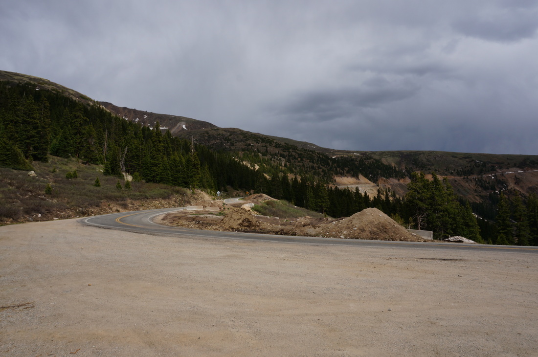
Directions:  The hike to Linkins Lake starts on Hwy 82 just west of Independence Pass.  From Aspen, head east on 82 out of Aspen (road is closed in the winter).  Follow the road almost all the way to Independence Pass.  Once you pass the Lost Man Campground, keep you eyes out to the North (left) of the road.  The trailhead, and a small parking area, is located at the middle of a hairpin turn on the road, it's hard to miss.

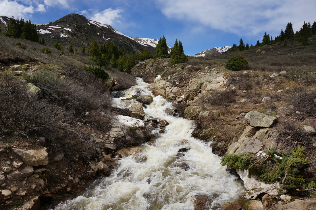
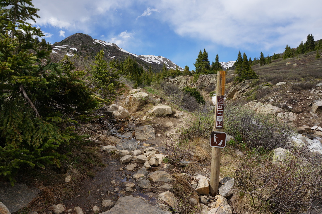
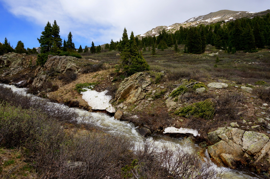
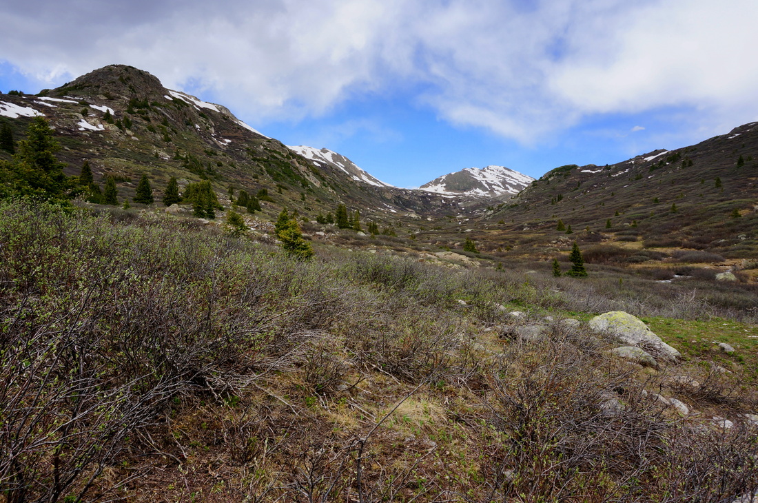
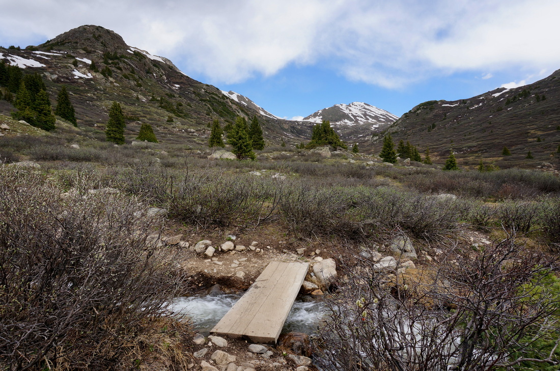
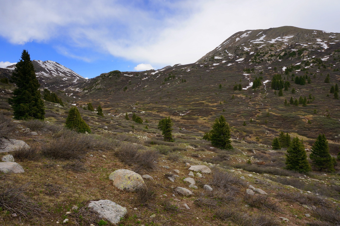
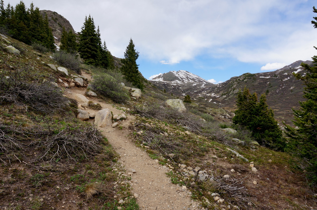
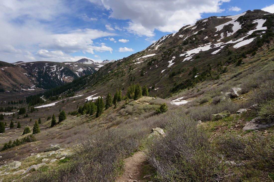
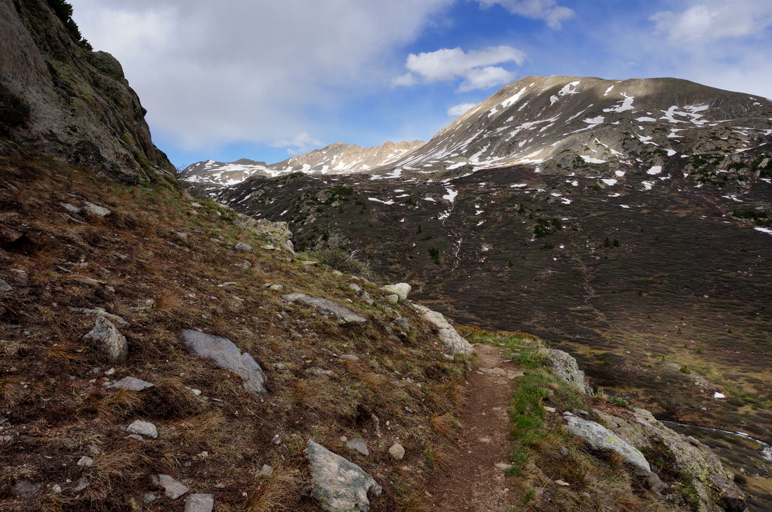
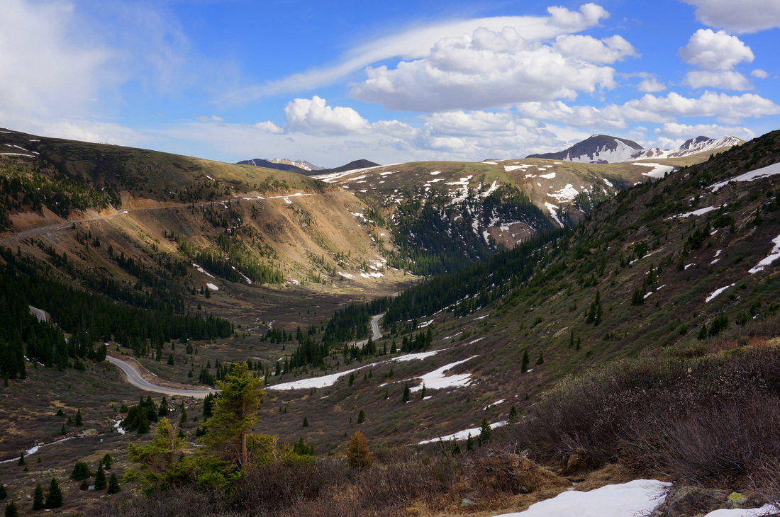
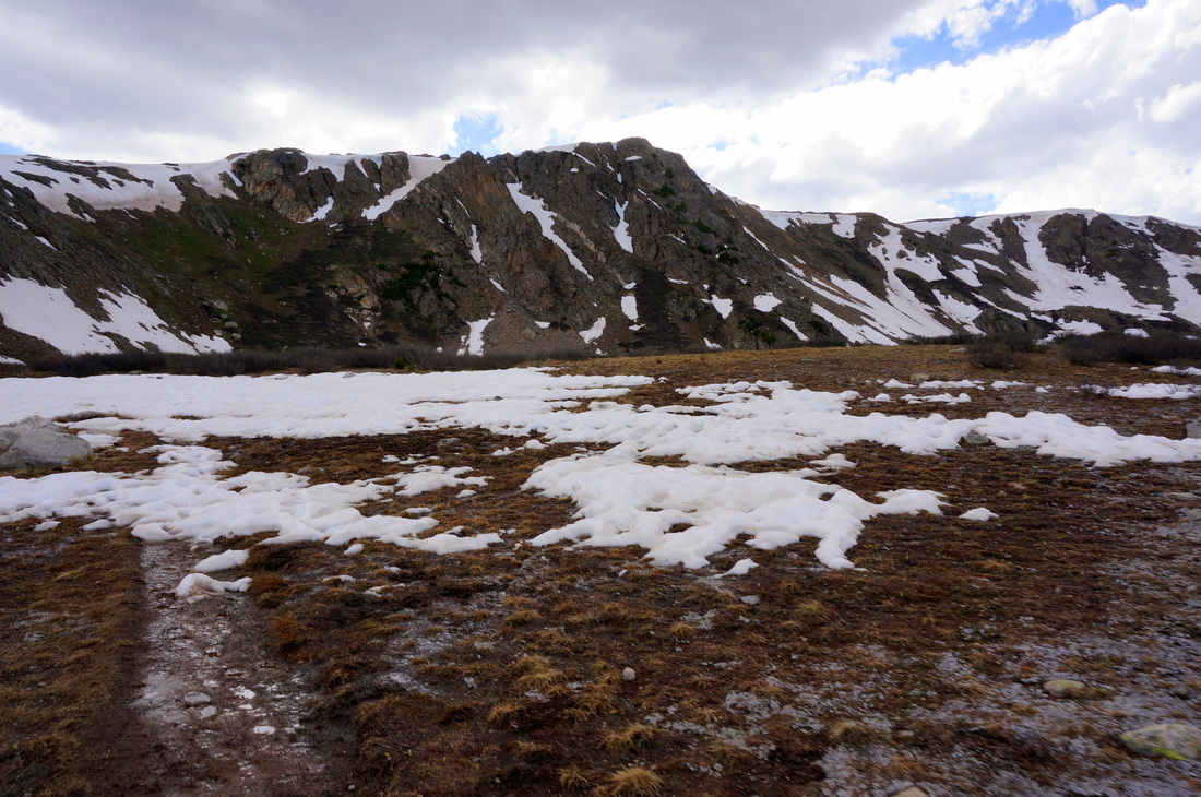
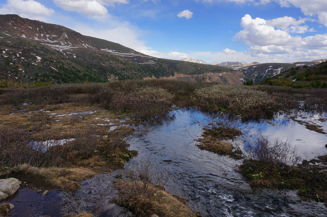
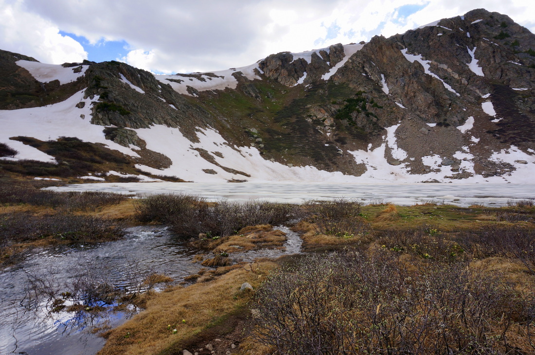
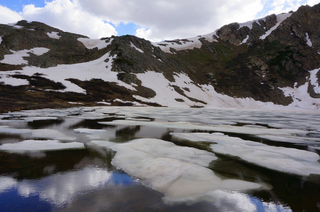
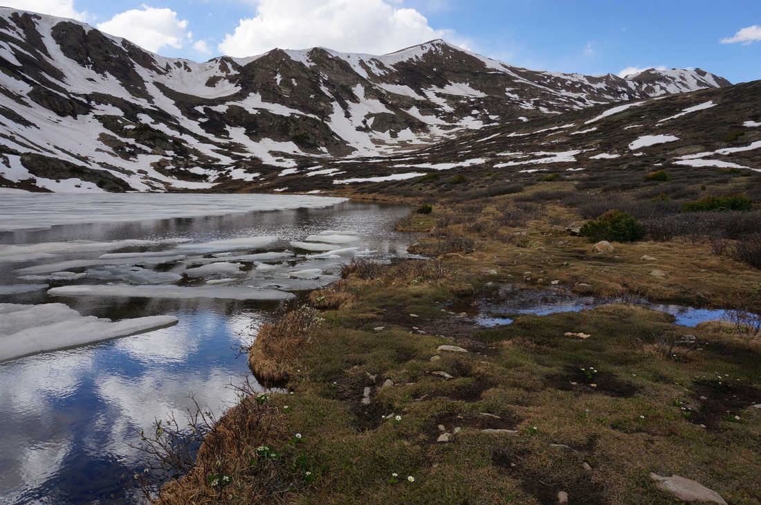
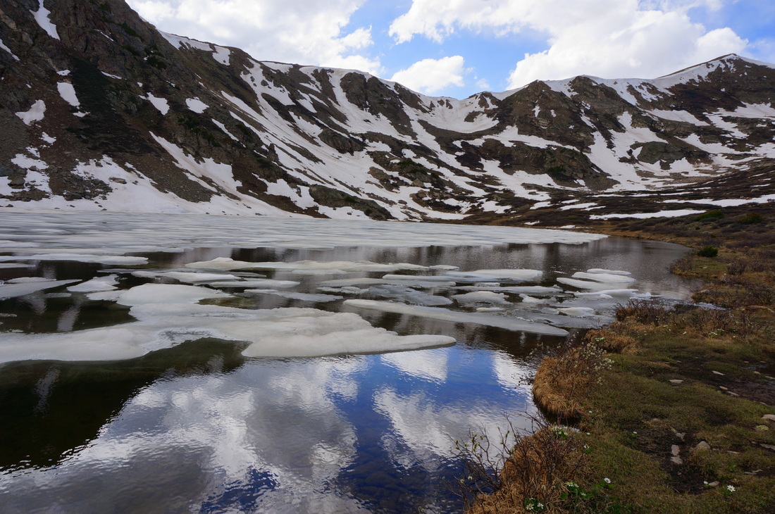
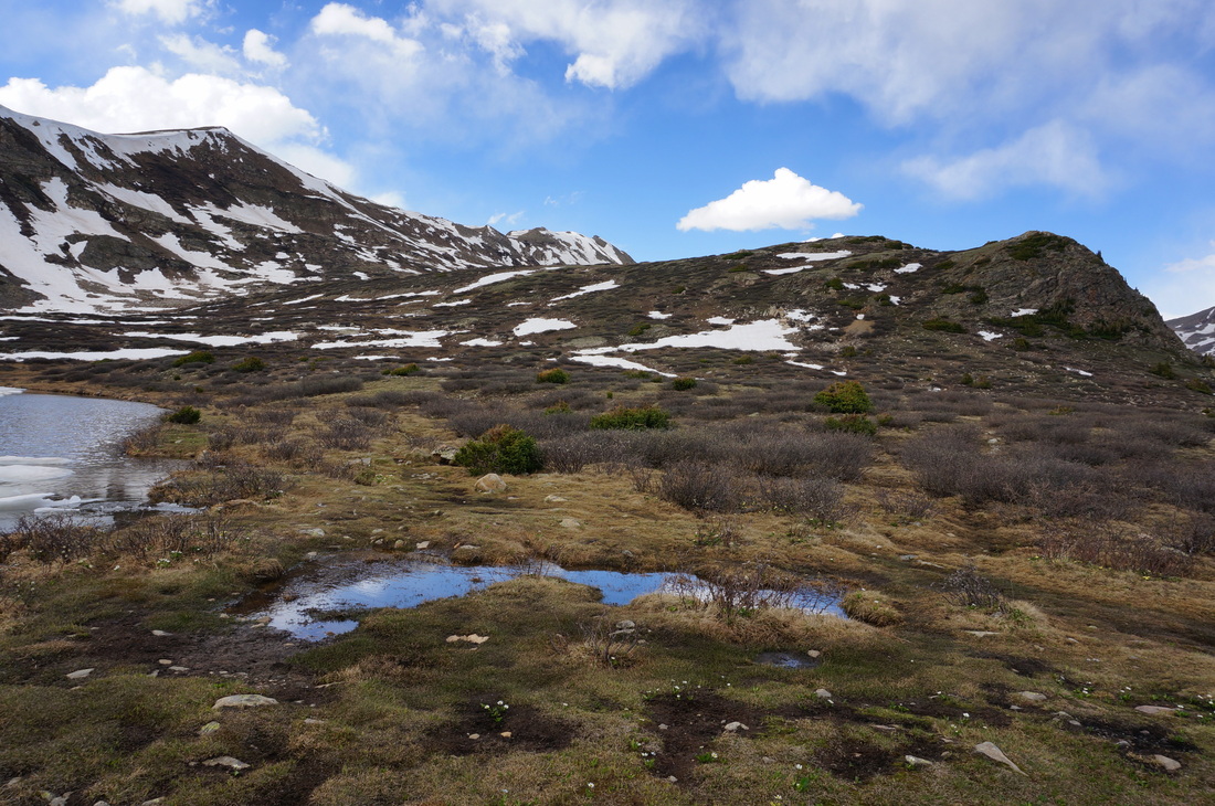
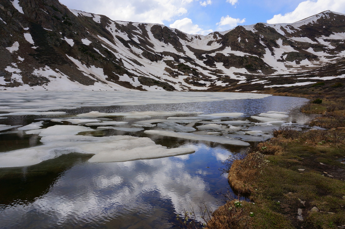
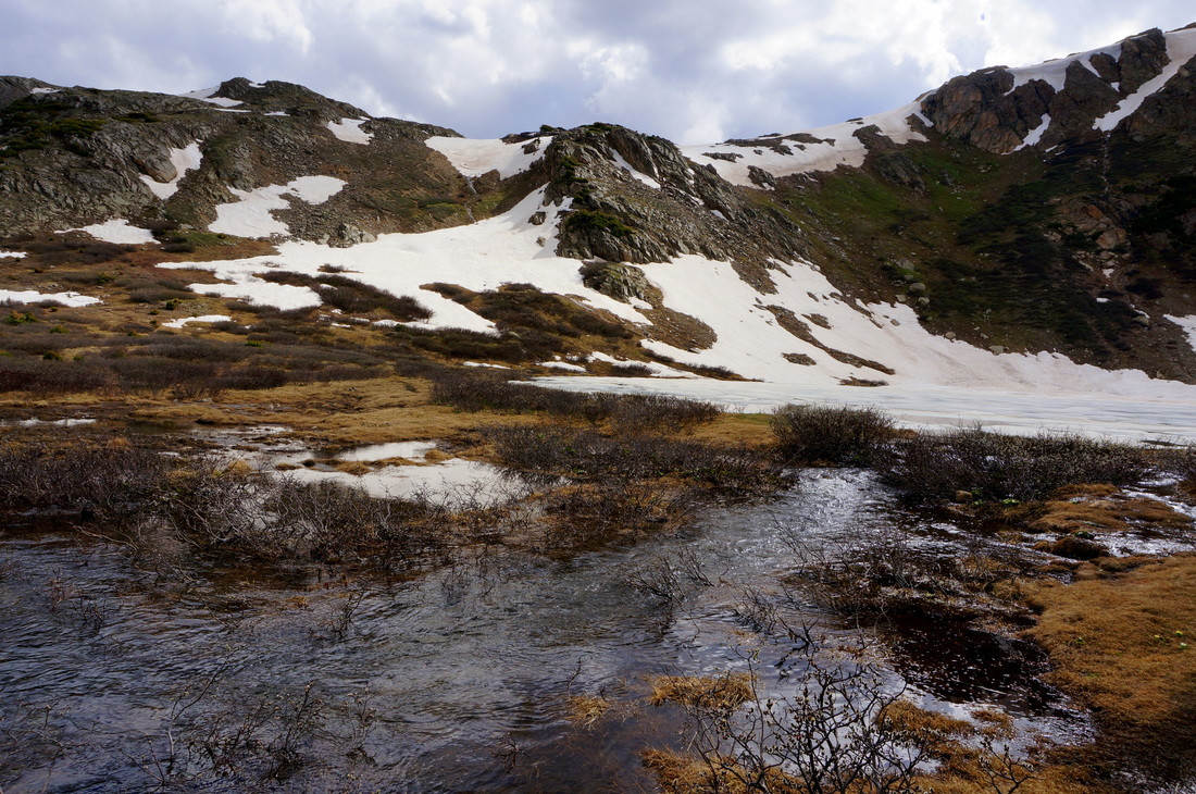
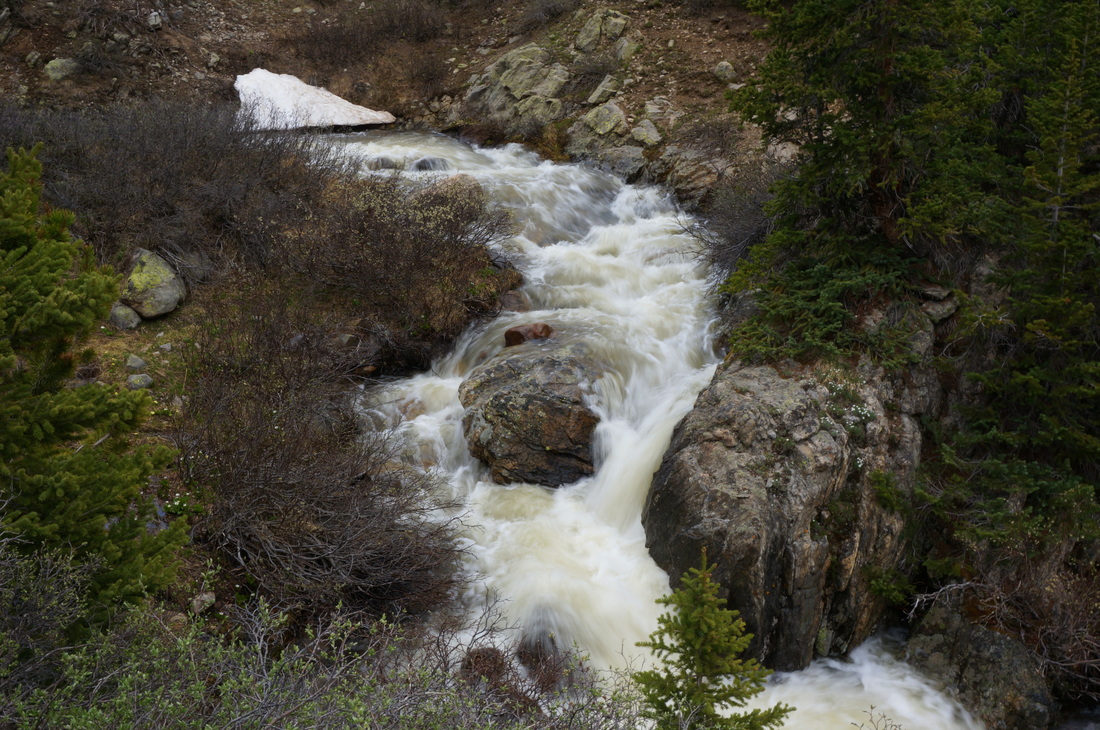
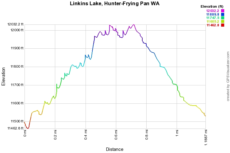
This short but strenuous hike offers a quick trip into the Hunter-Fryingpan Wilderness to a beautiful alpine lake just above 12,000ft.  From the trailhead, cross the creek, pass into the wilderness area, and make a left at the trail junction for Linkins Lake.  The trail switchbacks up 600 ft in about 1/2 a mile.  There are wonderful views back down the basin towards Independence Pass, and up the basin into the Wilderness Area.  The trail follows a creek running out of Linkins Lake and ultimately joining the Roaring Fork River, there are a number of cascades and minor water falls along the trail.  When you finally level out, there is a beautiful marsh area and a pristine lake surrounded by stunning peaks.

There are not many hikes of this caliber with this short of a distance.  If you're on your way down to Aspen, there is really no excuse not to check out this lake.

Powered by Create your own unique website with customizable templates.