|
|
|
Directions: From I-70 head south on 24 through Minturn, along the edge of the canyon and over the bridge at Red Cliff. Shortly after the bridge, turn right (west) on Homestake Road. From Leadville take 24 north and turn left (west) on Homestake Road. Follow Homestake Road on a good dirt road for about 7.5 miles. Turn right at the sign for Missouri Creek Road. From here the road gets a bit bumpier and steep in spots. SUV is recommended but low clearance cars can make it if you are careful. Missouri Creek Road leads to a "T", left is the Missouri Lake Trailhead, right is the Fancy Pass Trailhead. Parking is plentiful.
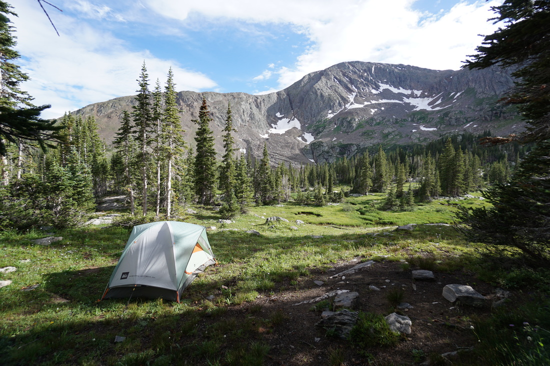
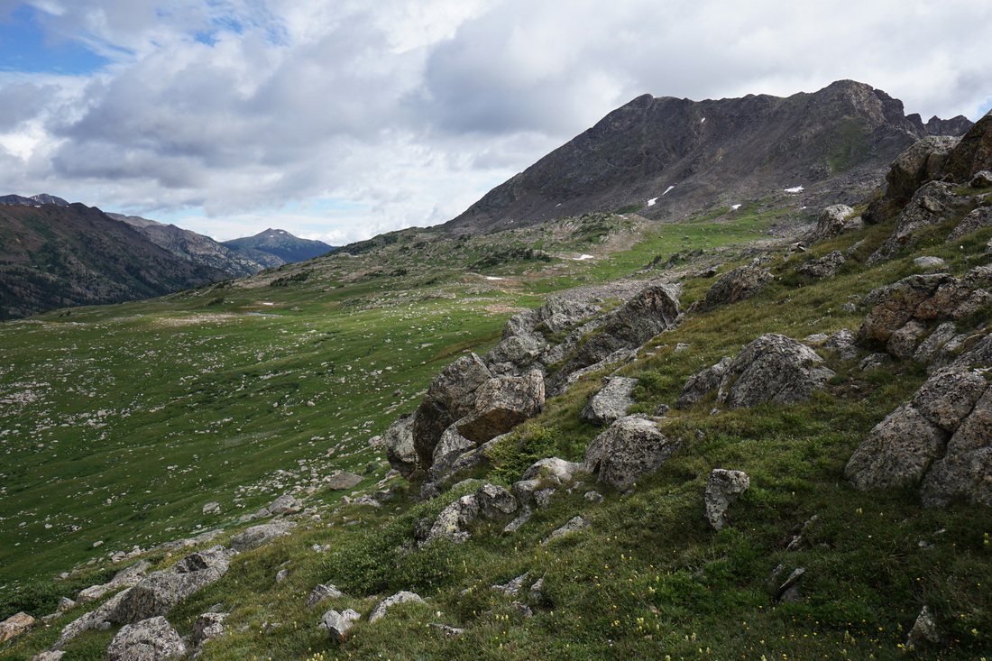
The Missouri Pass - Fancy Pass loop is a popular overnight or difficult day hike. Popular for good reason as every inch of this hike is outstanding. I suggest doing a clockwise loop and starting at the Missouri Lakes Trailhead. The hike up the Missouri Lakes basin is longer, but not as steep as the hike up the Fancy Lake basin. On summer weekends, there are plenty of people day hiking to Missouri Lakes and camping at the lakes, don't plan on too much solitude in the Missouri Lakes basin. However, if you camp at the lakes and hike up and over Missouri Pass the next day, you will find your solitude. The Cross Creek basin, west of the pass, sees far less visitation and the basin is nothing short of breathtaking.
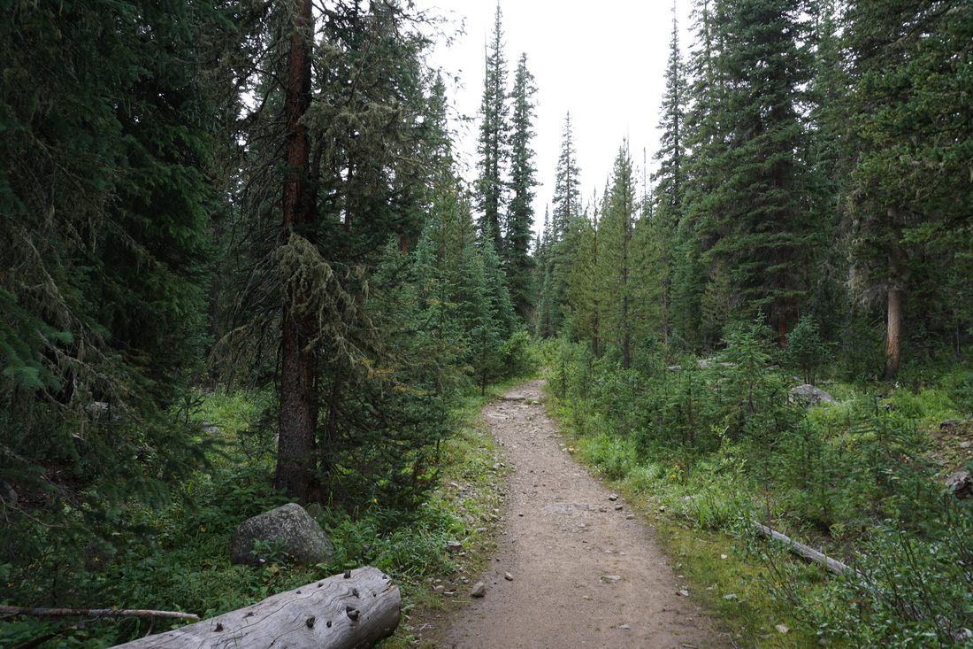
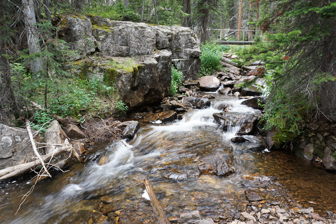
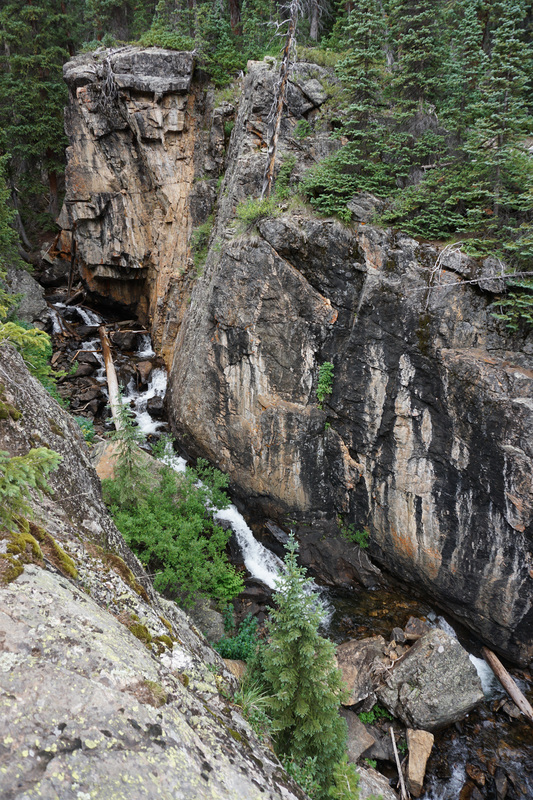
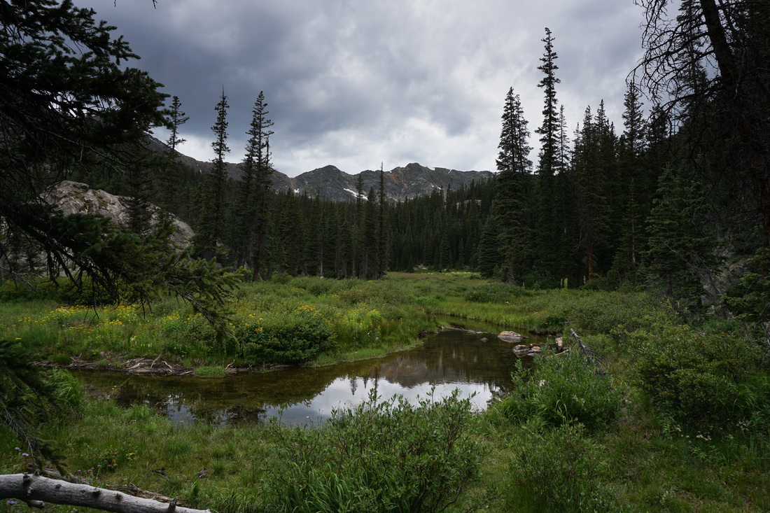
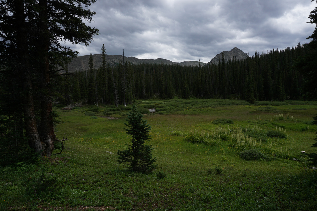
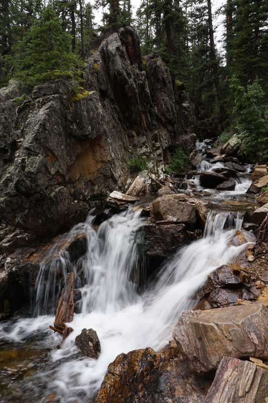
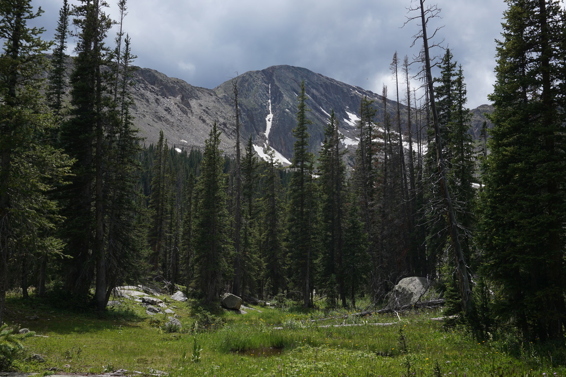
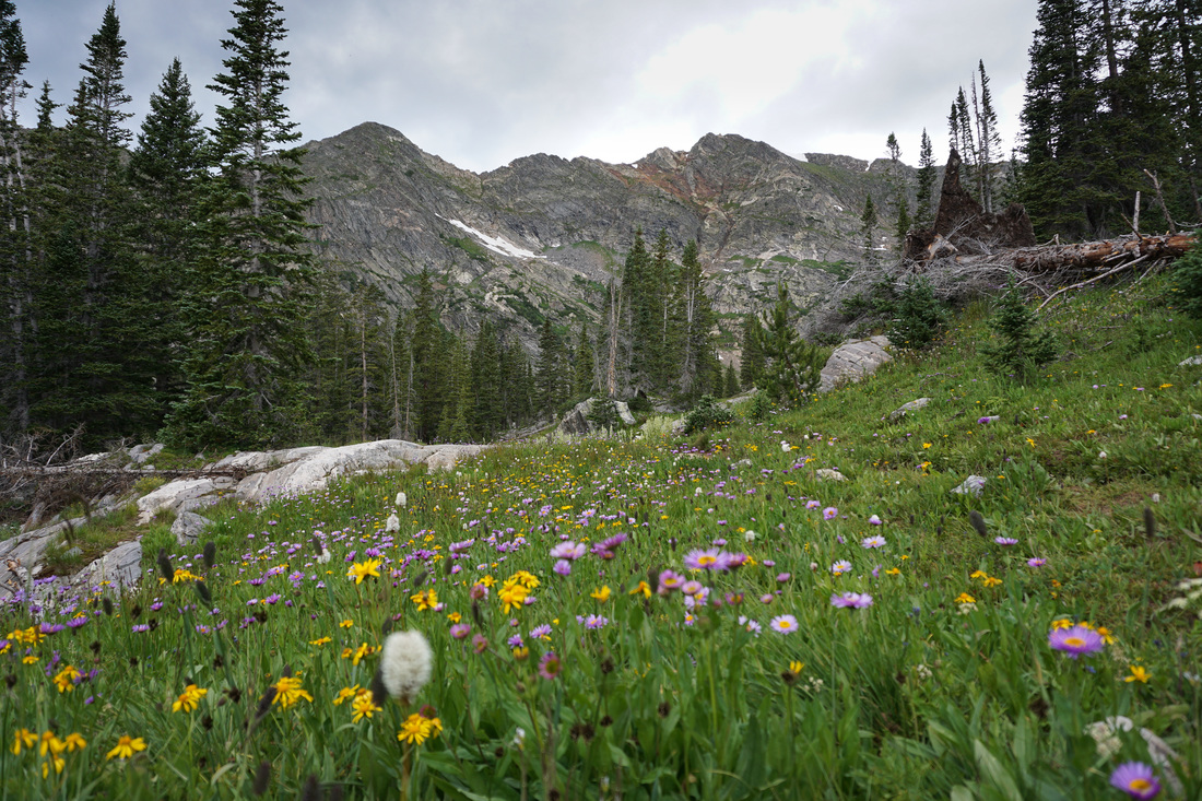
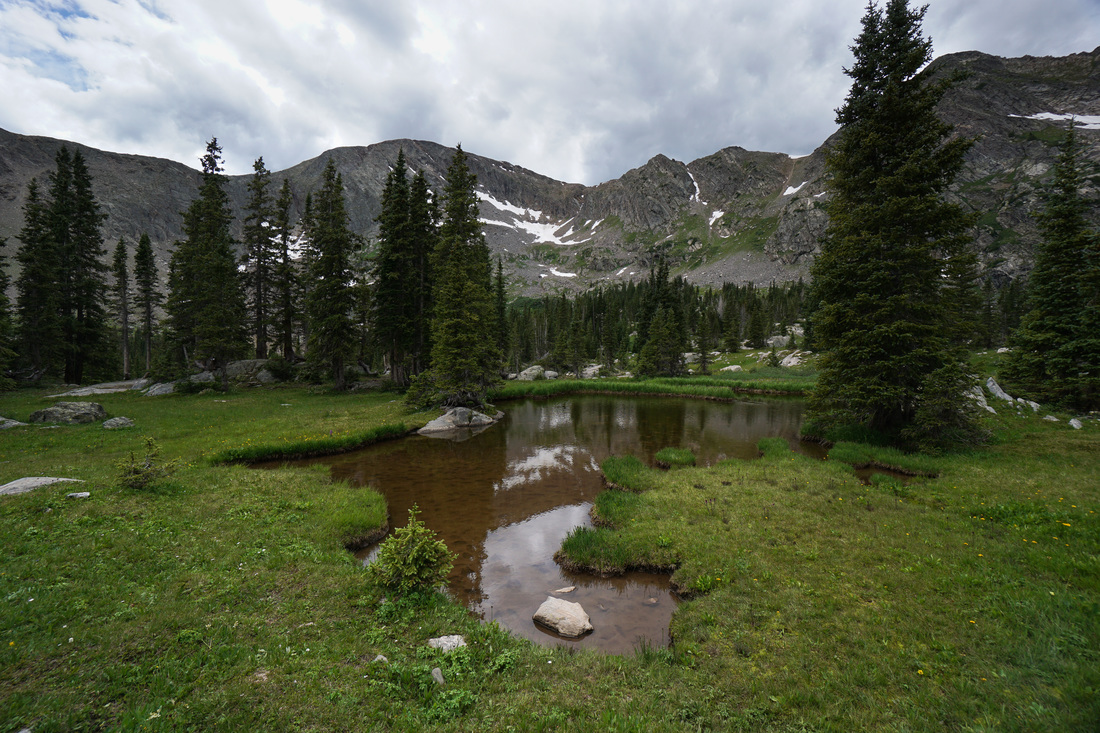
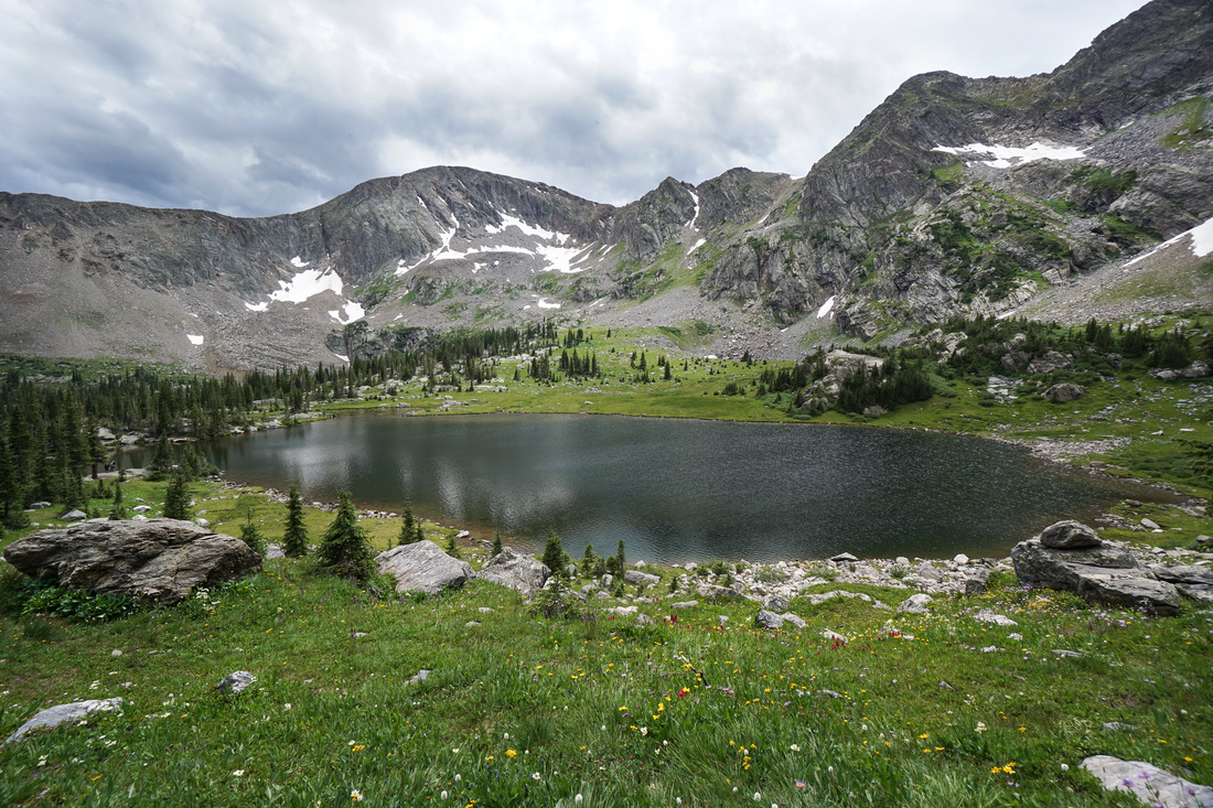
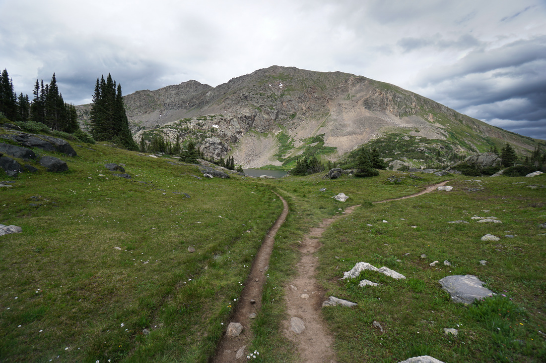
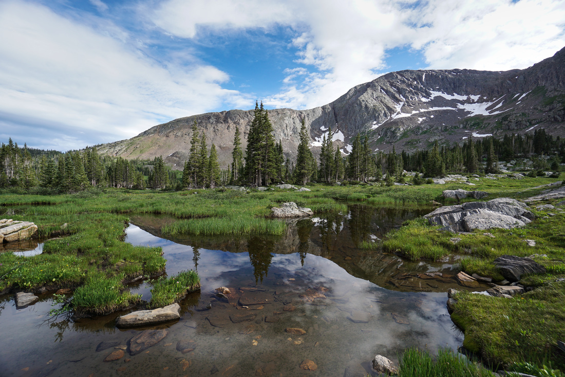
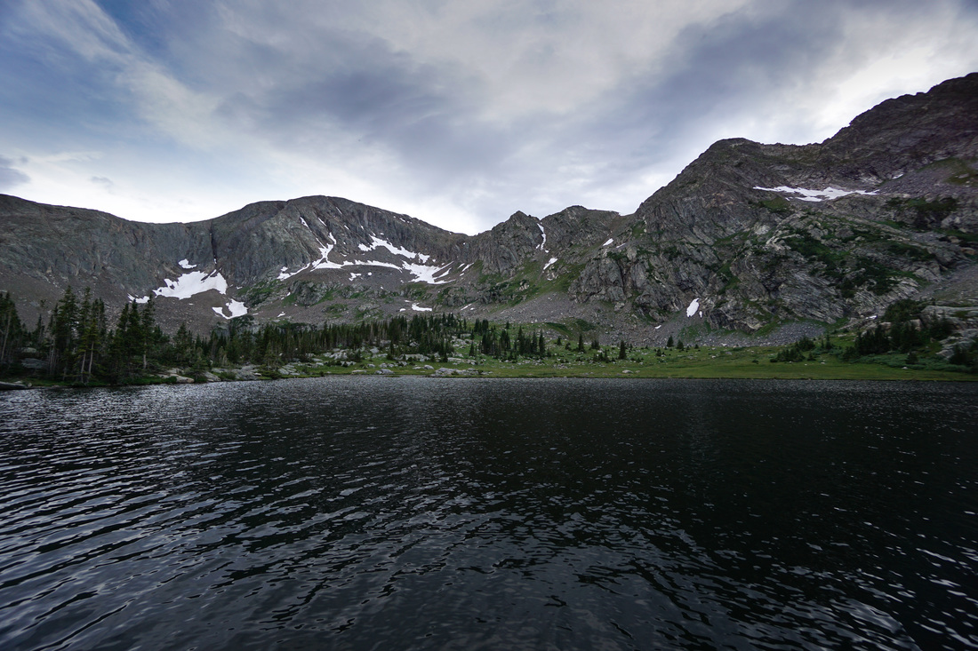
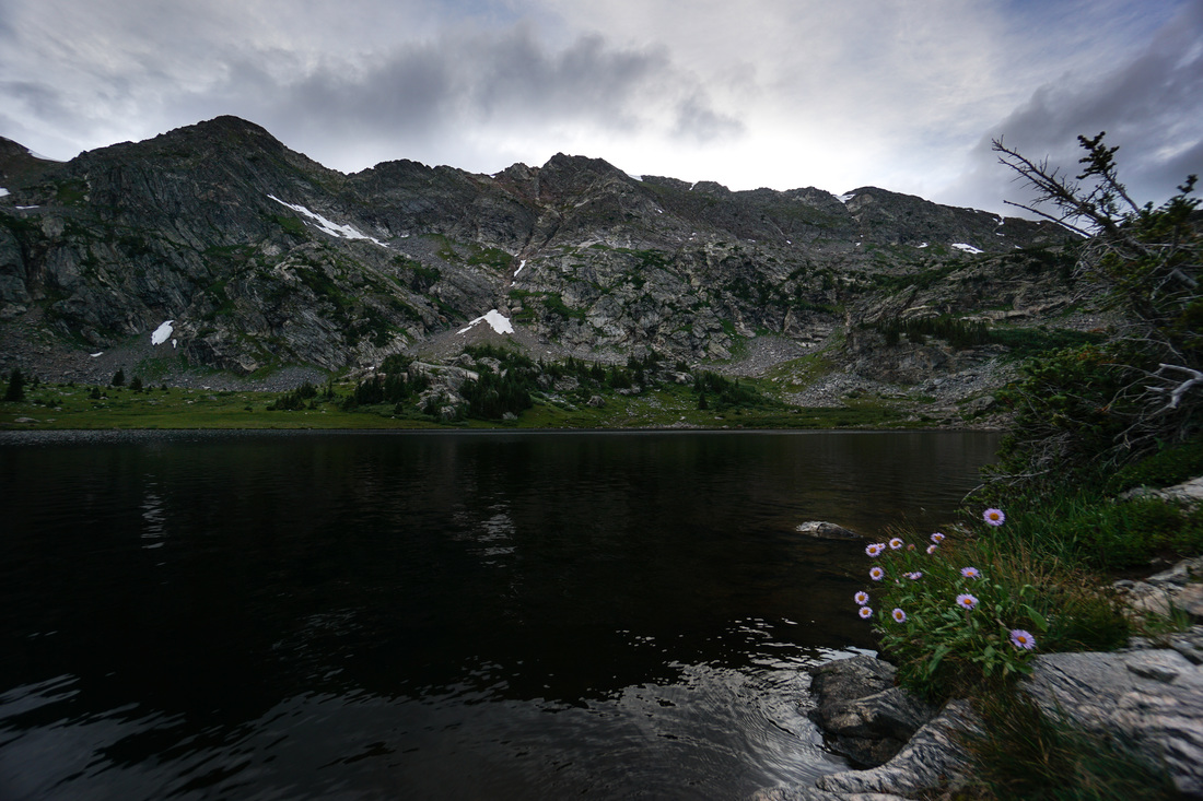
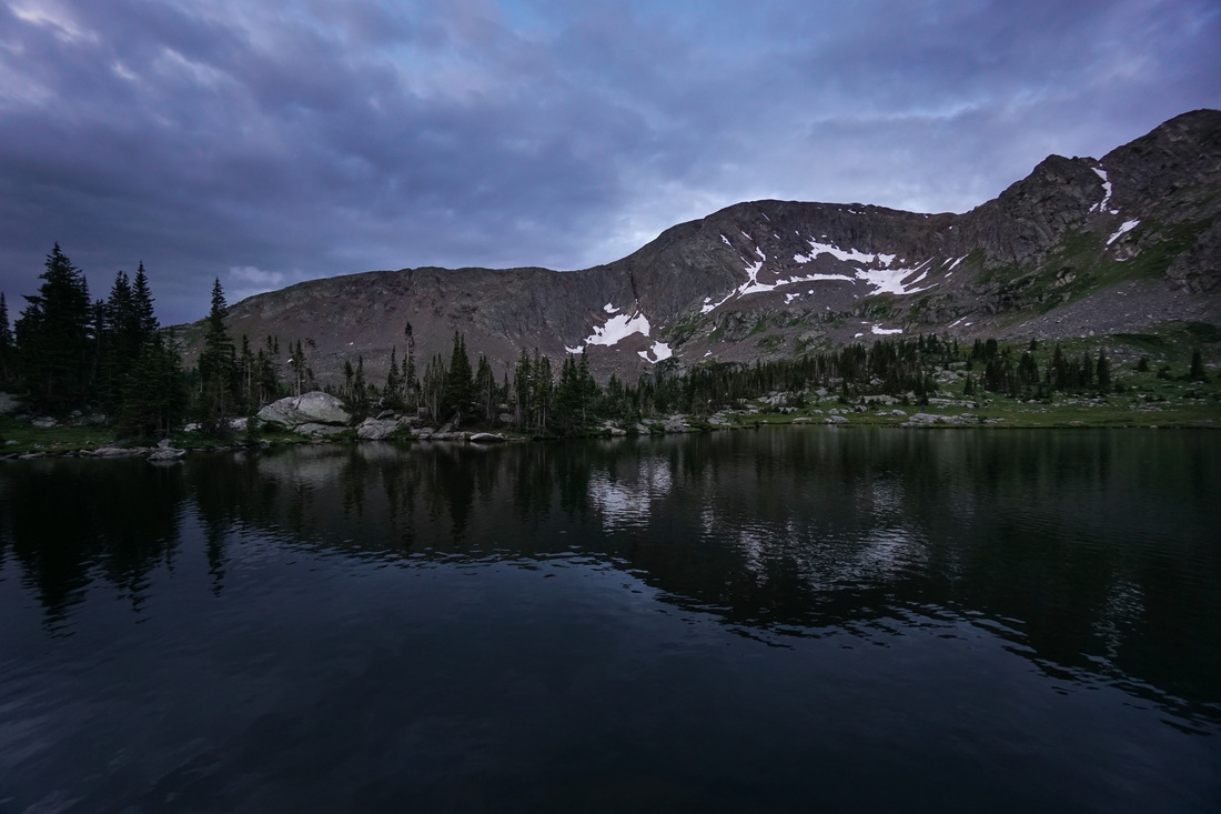
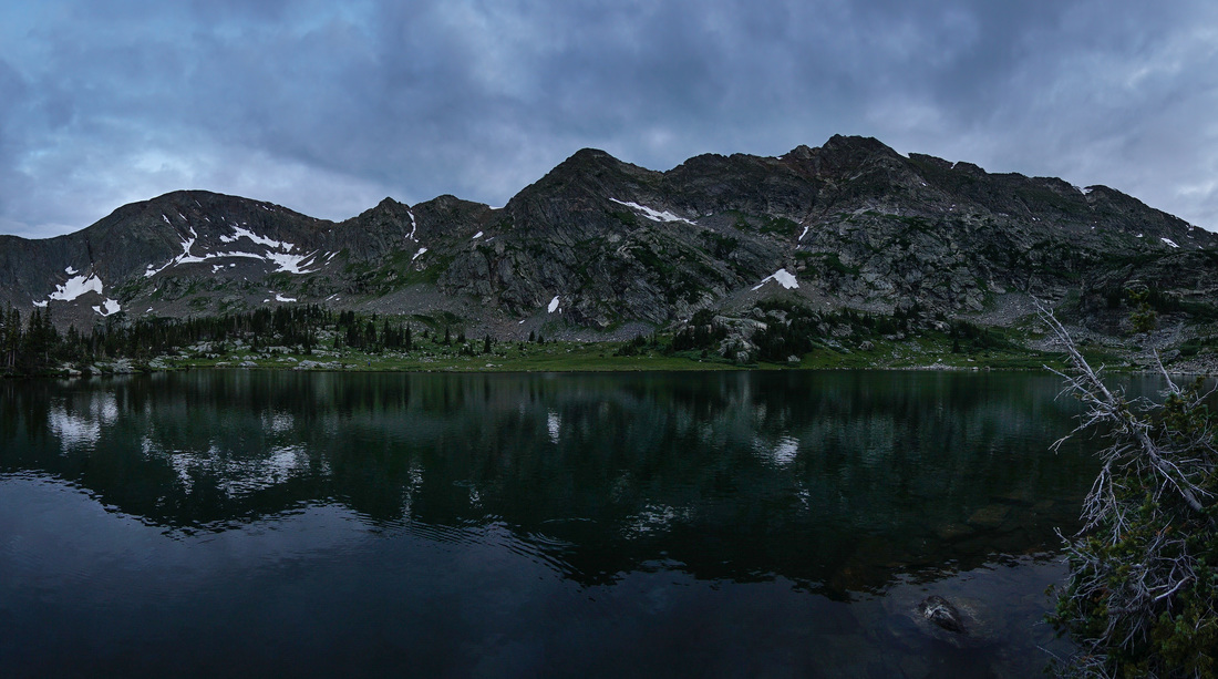
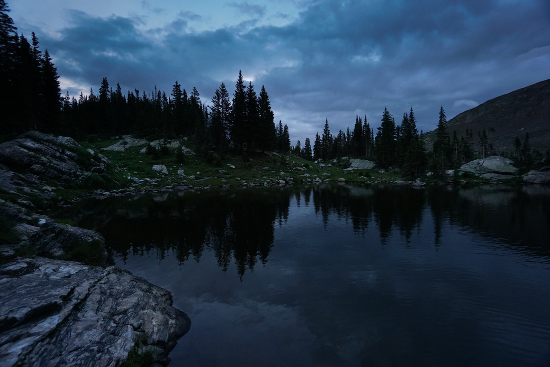
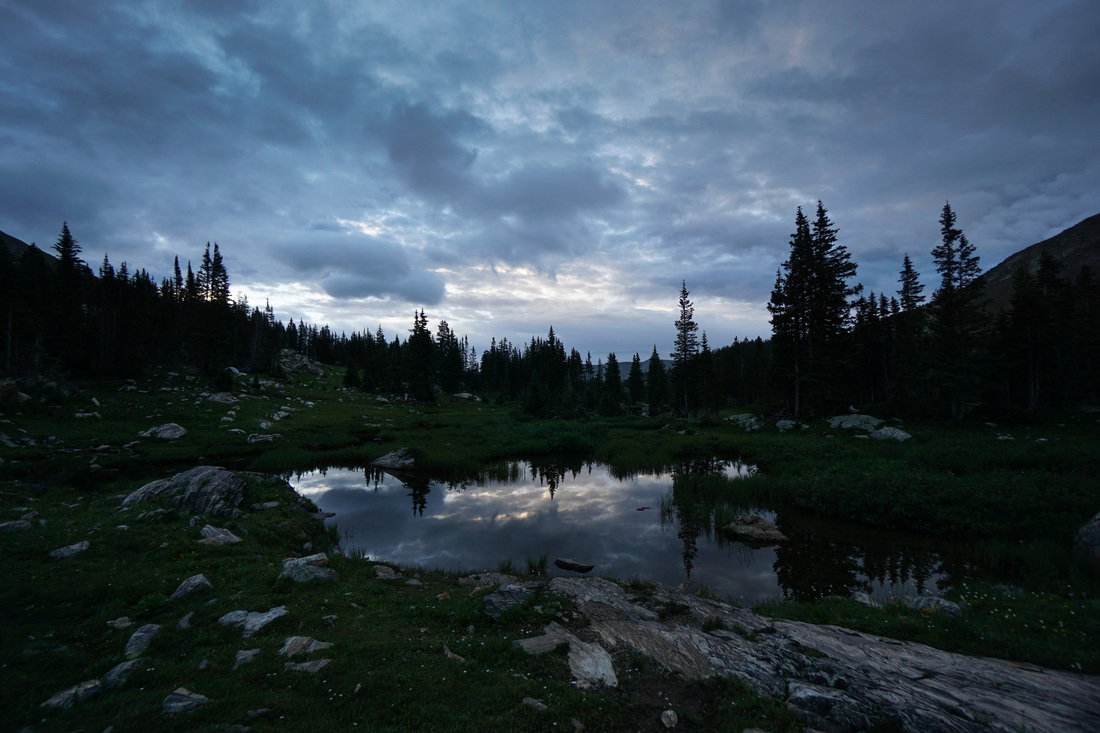
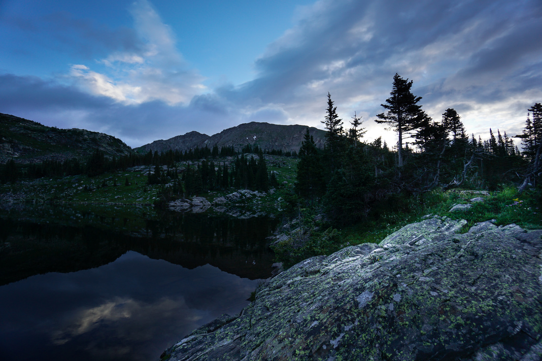
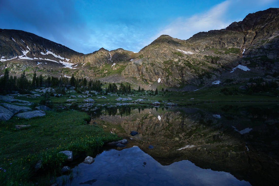
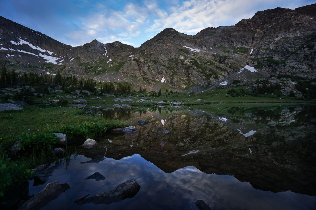
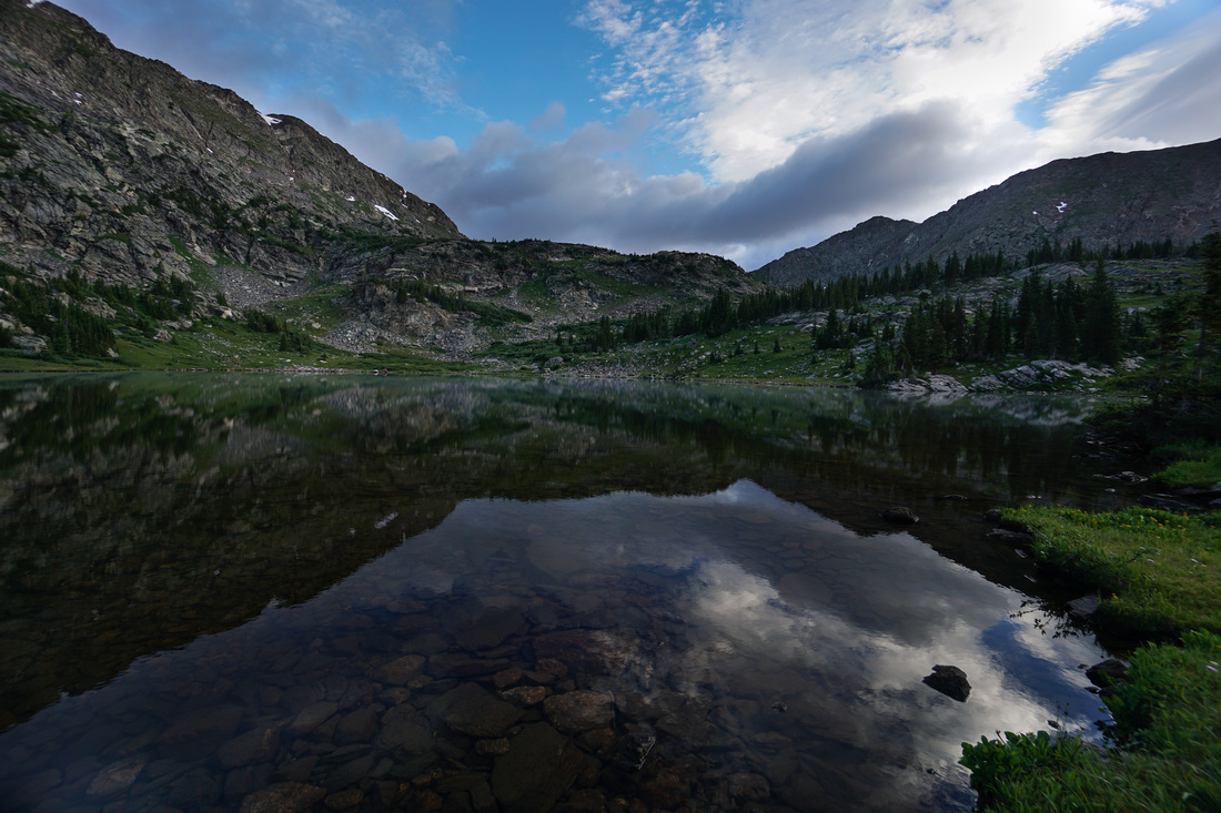
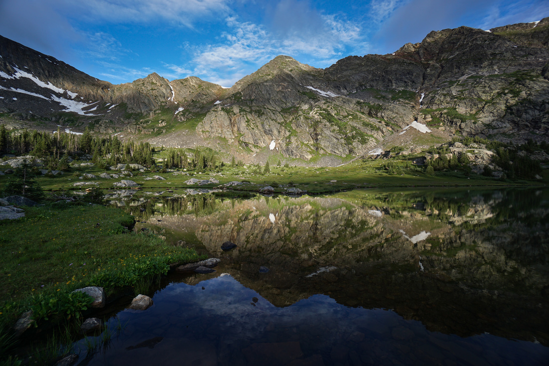
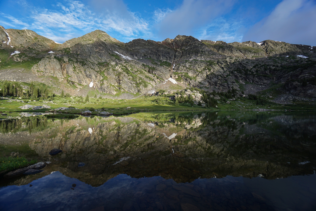
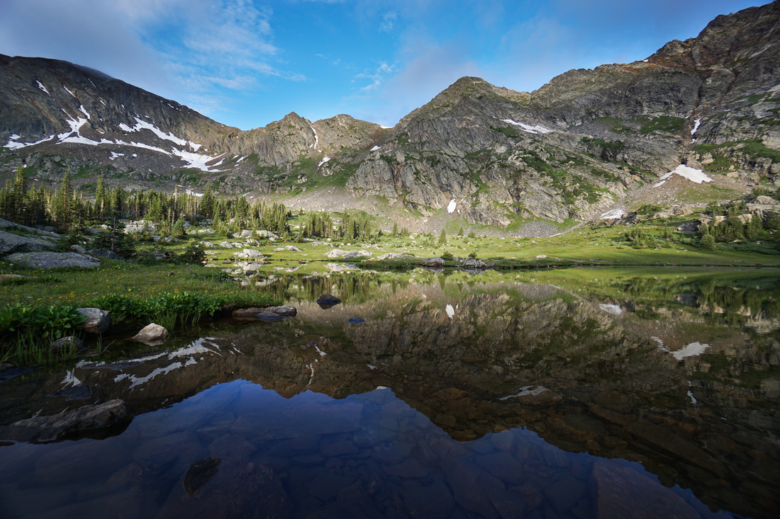
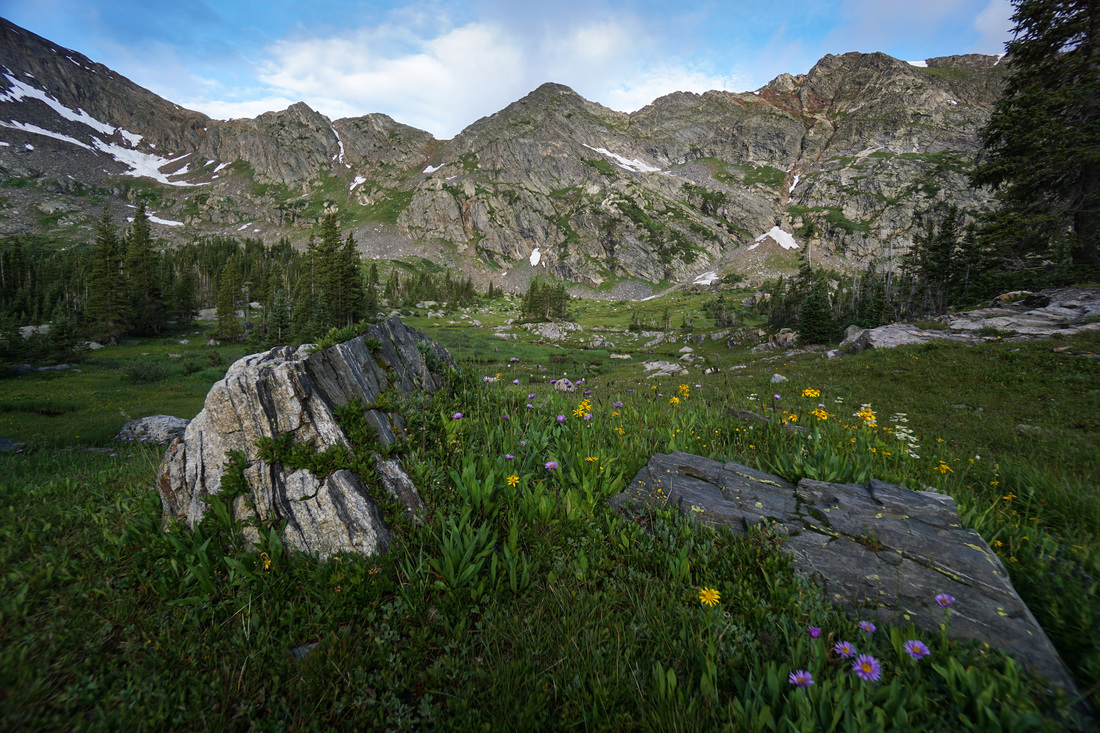
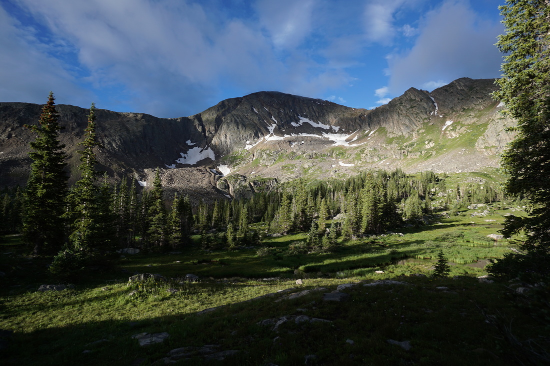
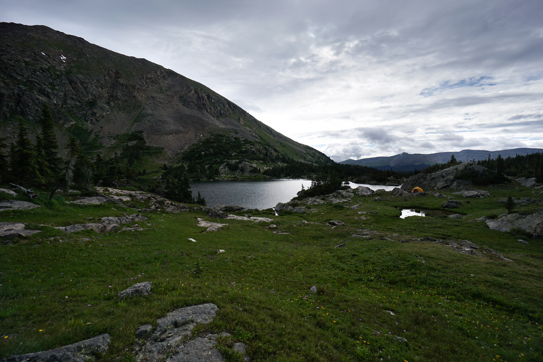
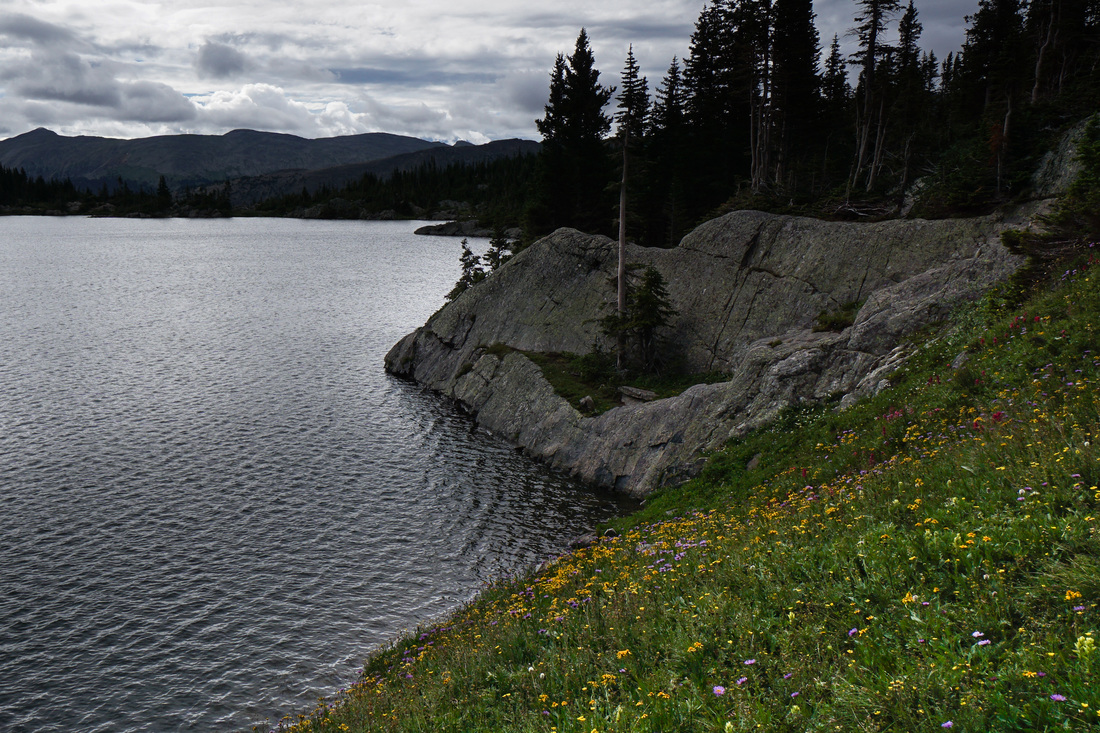
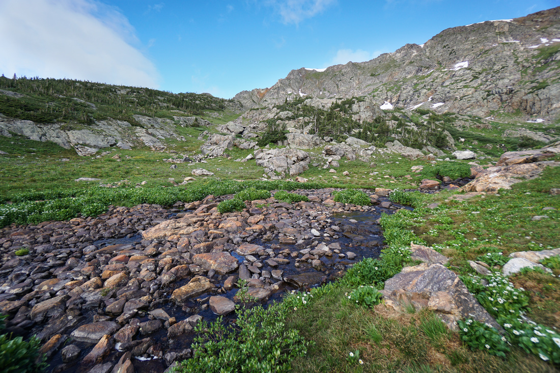
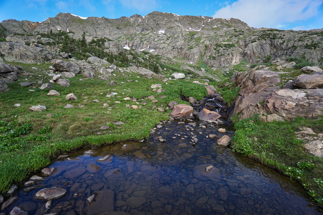
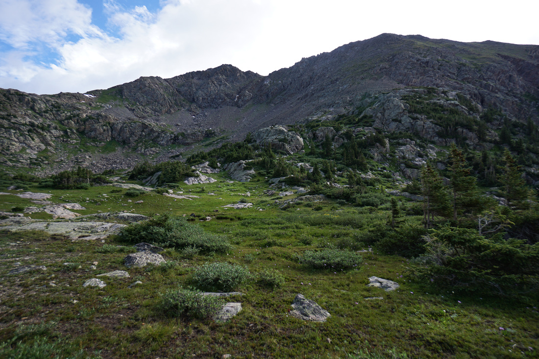
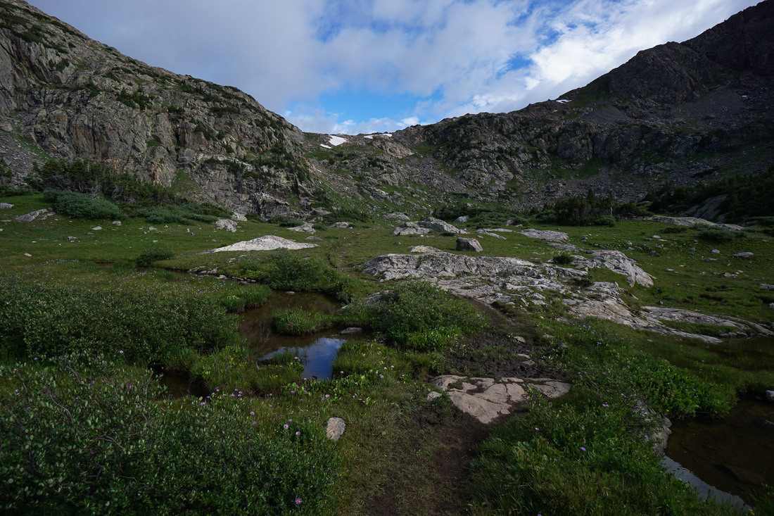
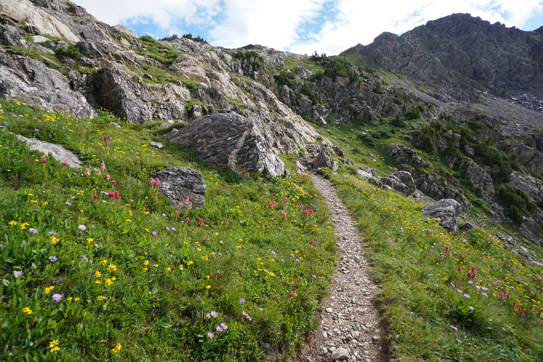
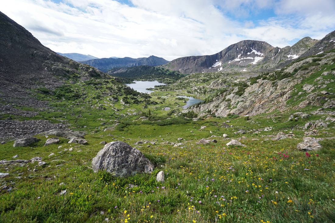
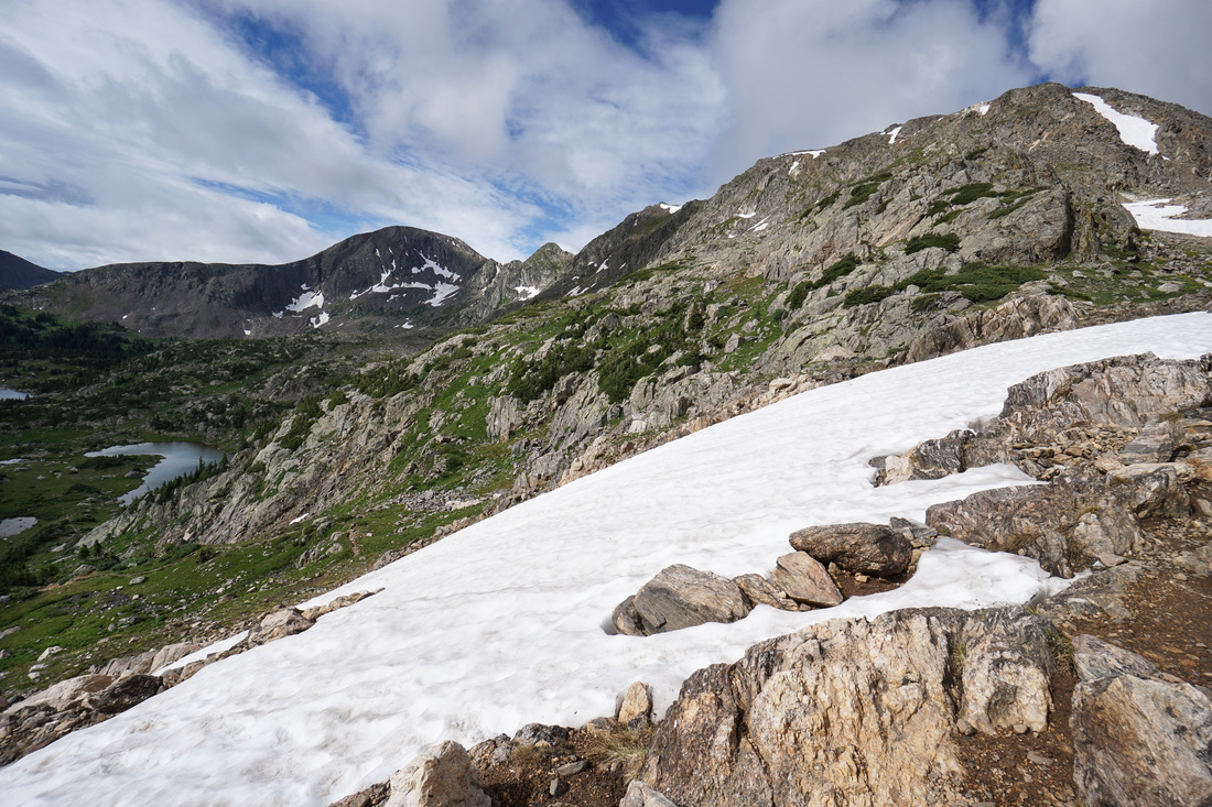
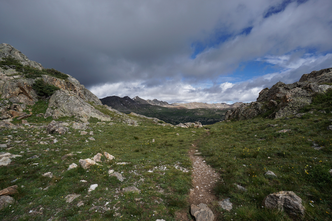
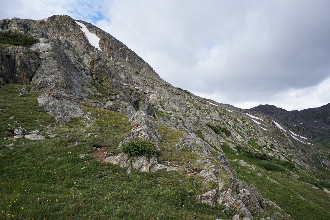
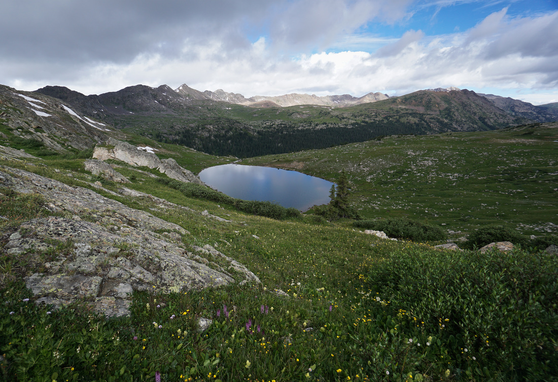
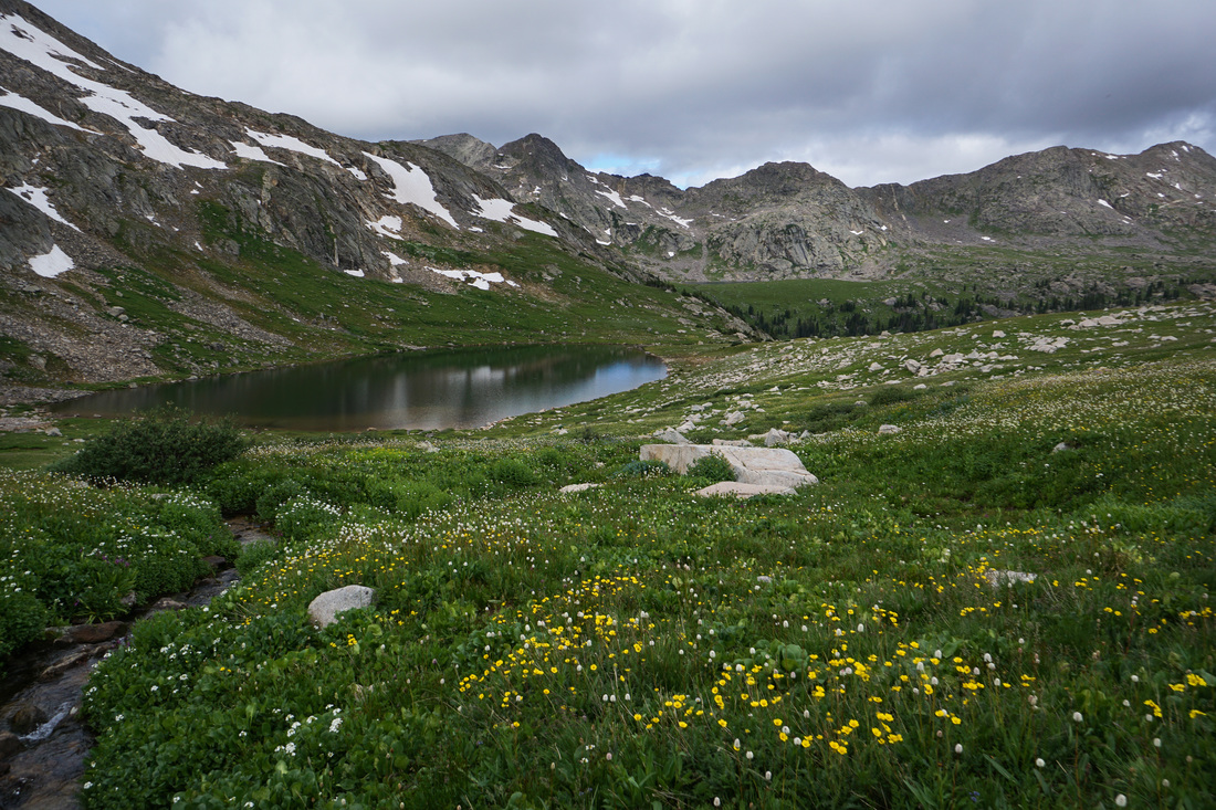
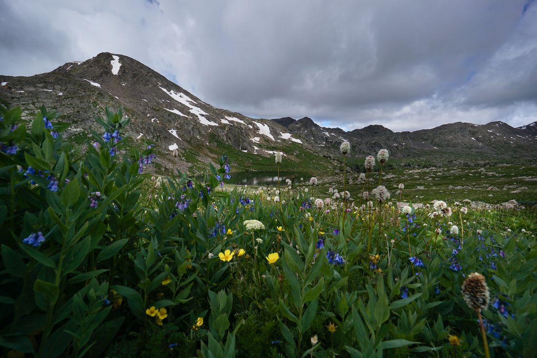
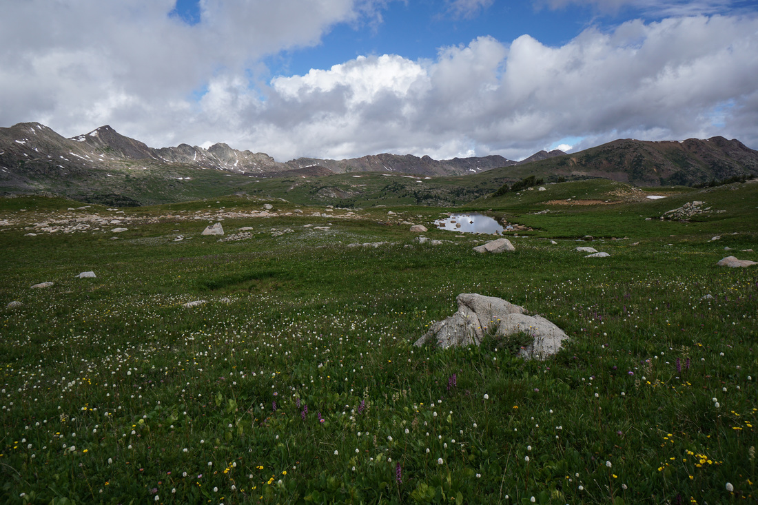
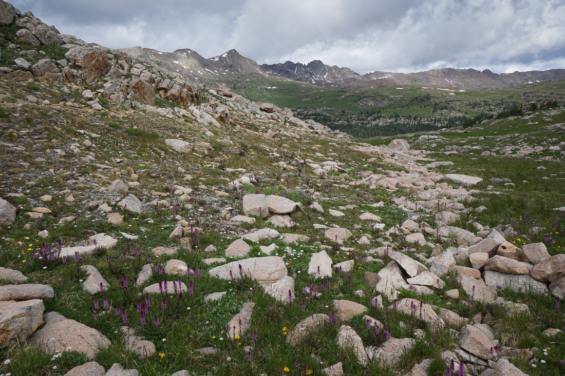
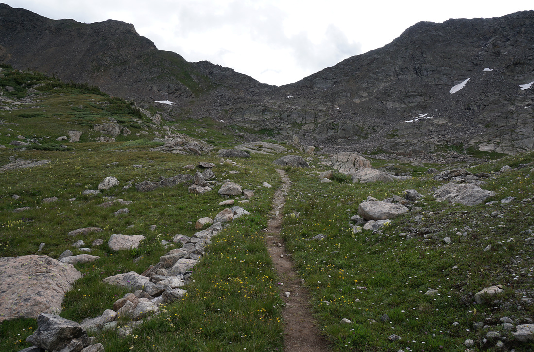
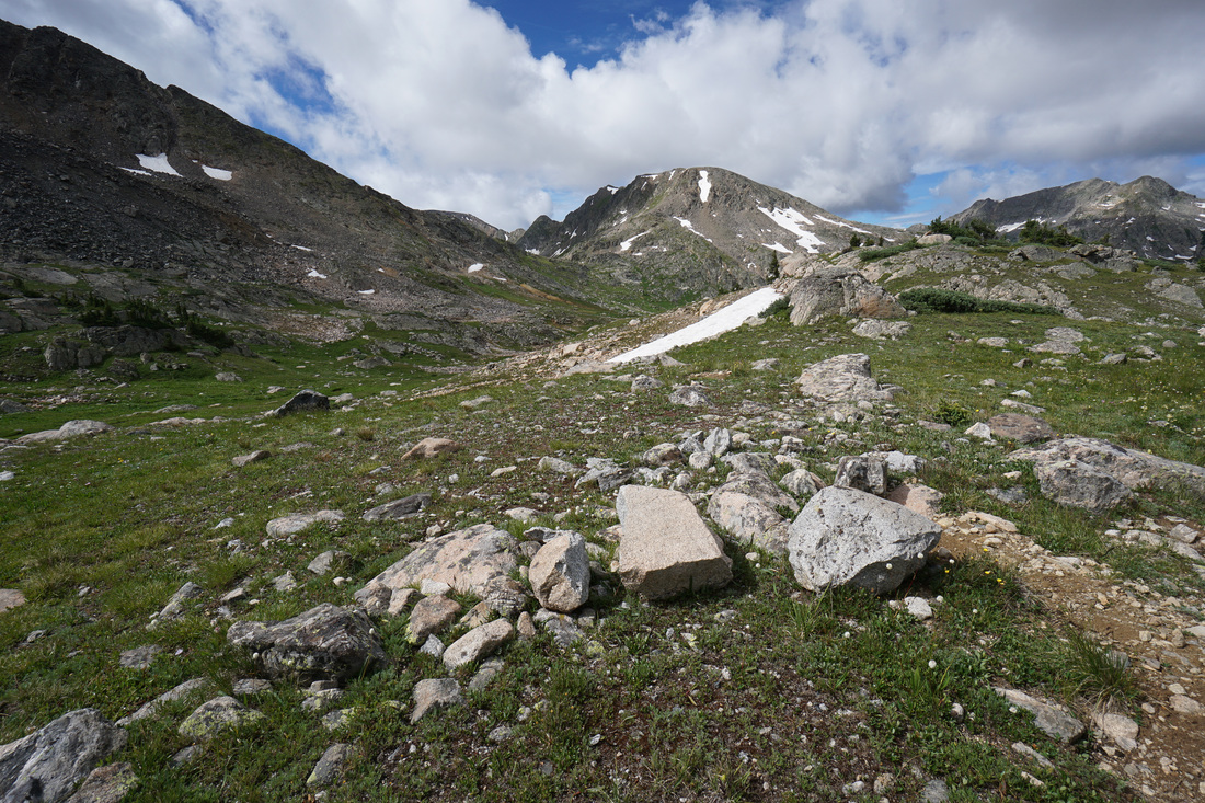
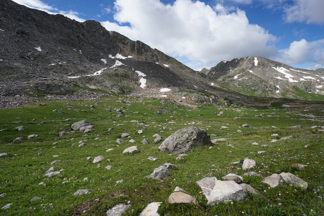
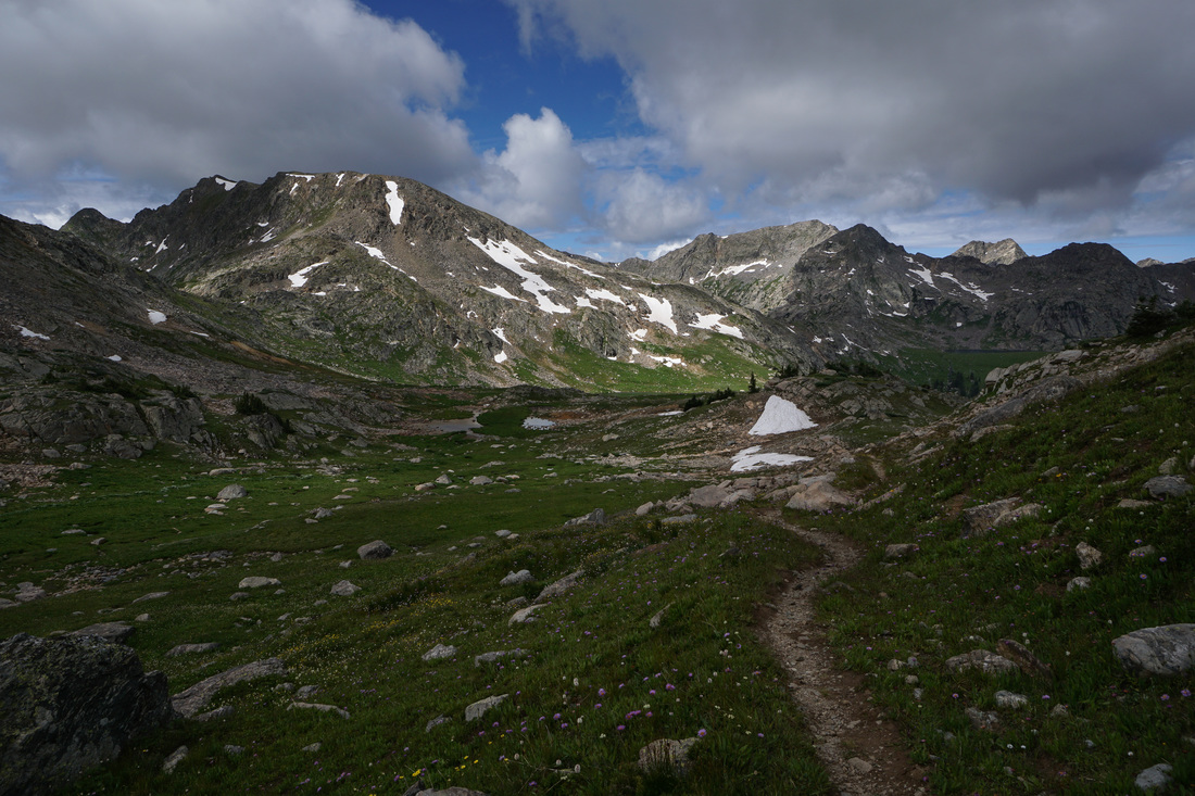
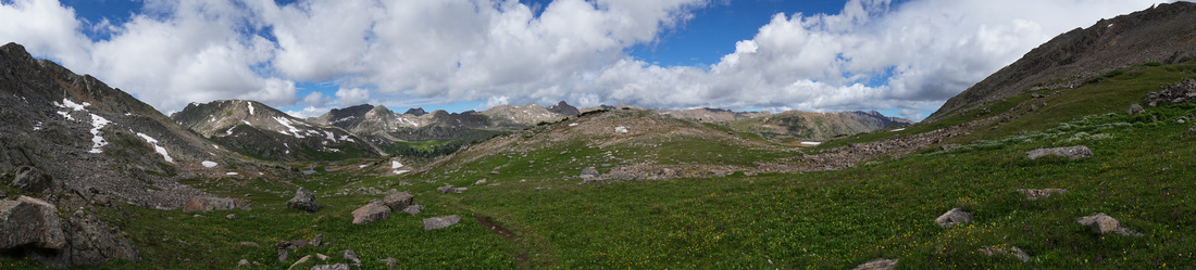
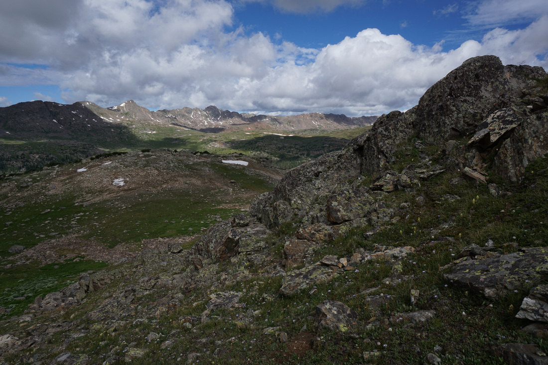
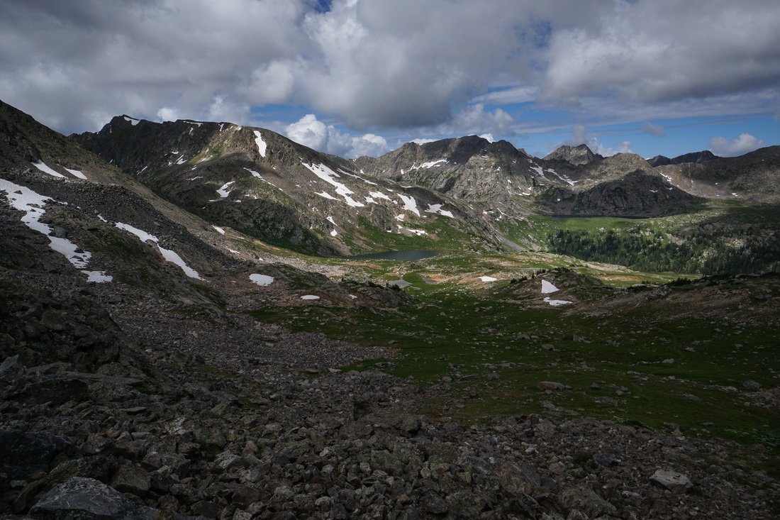
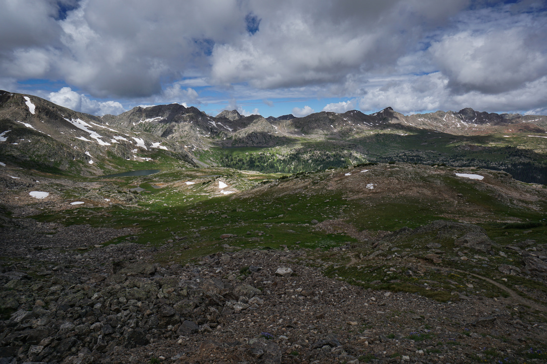
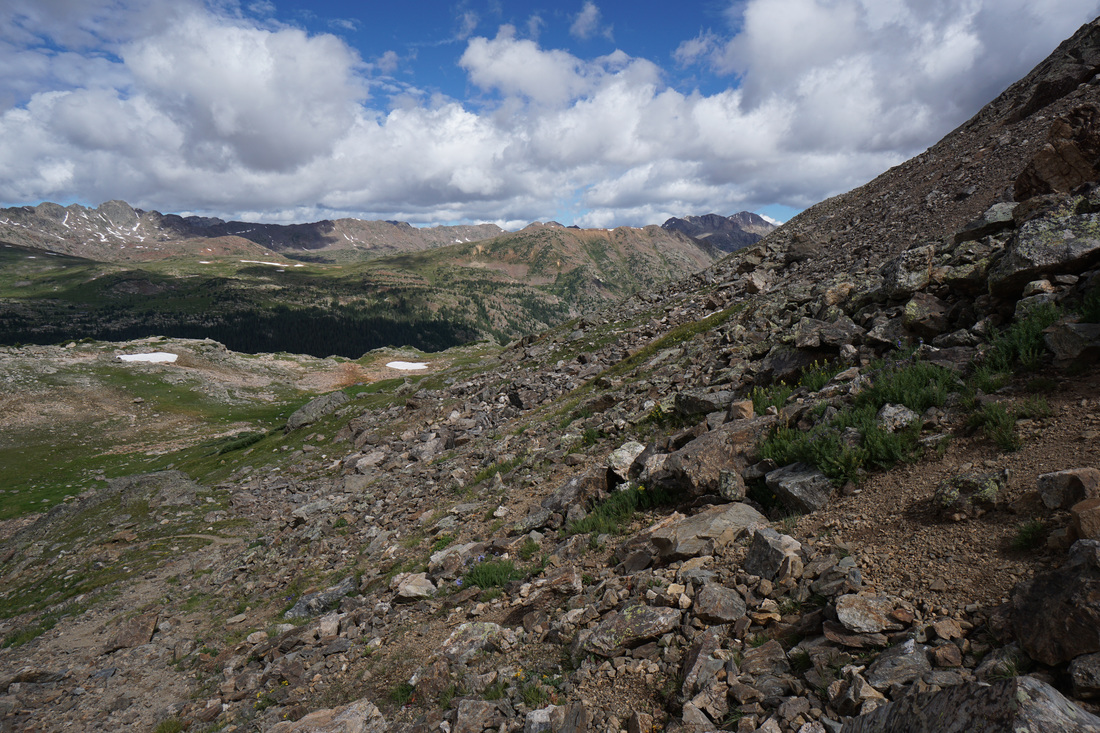
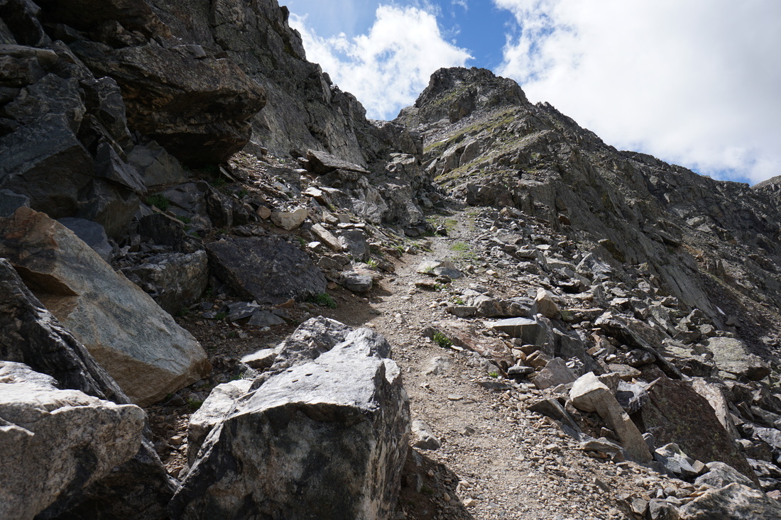
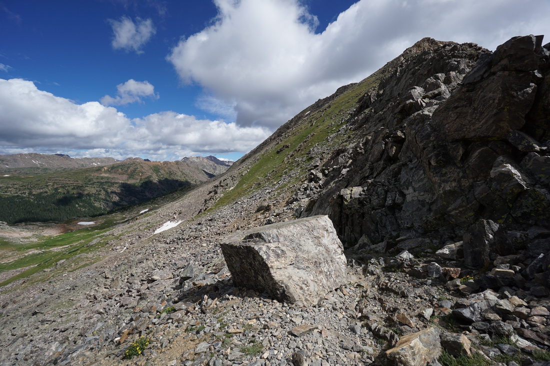
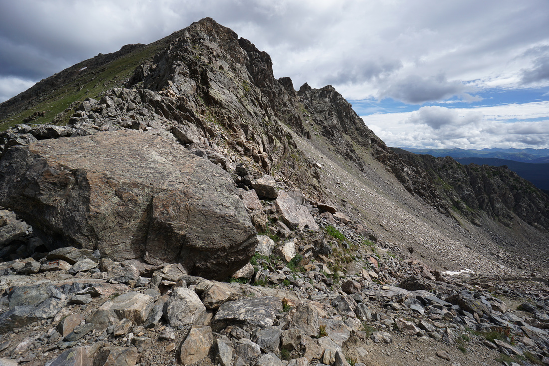
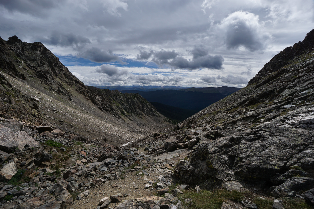
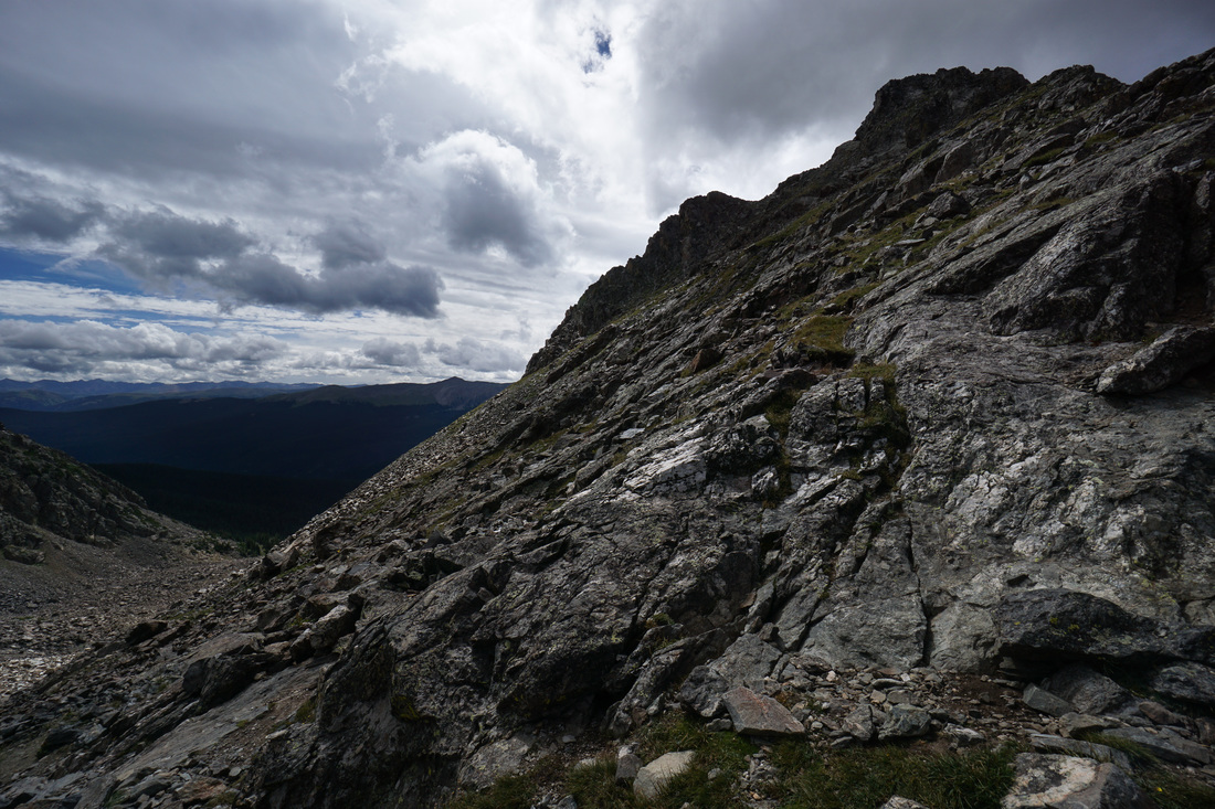
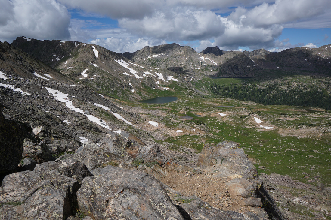
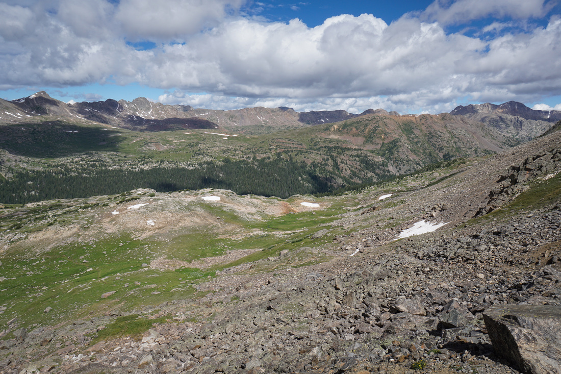
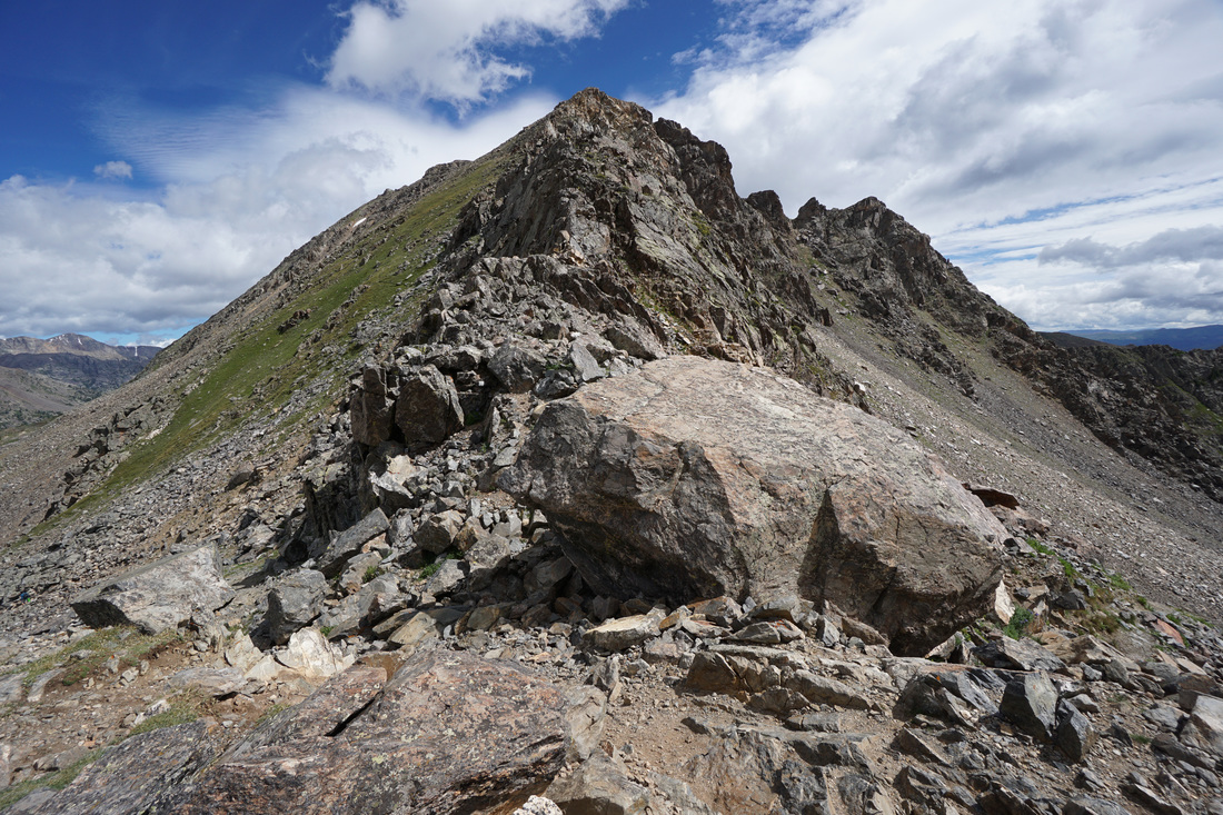
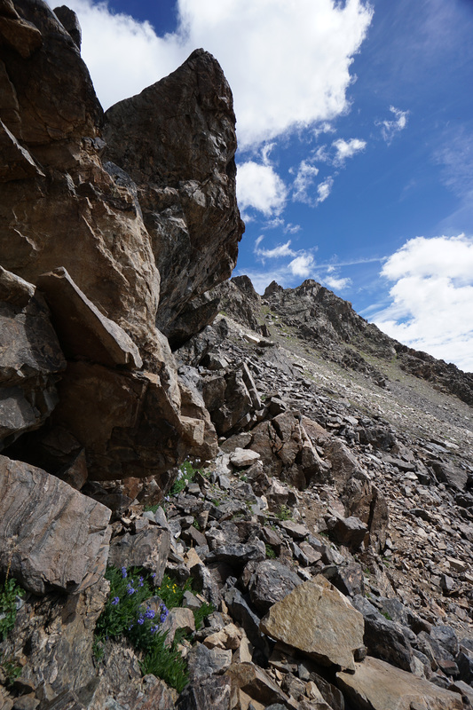
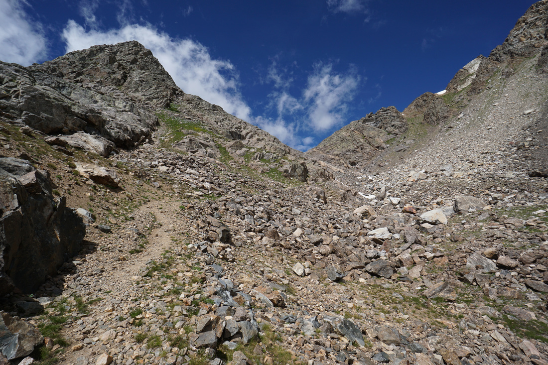
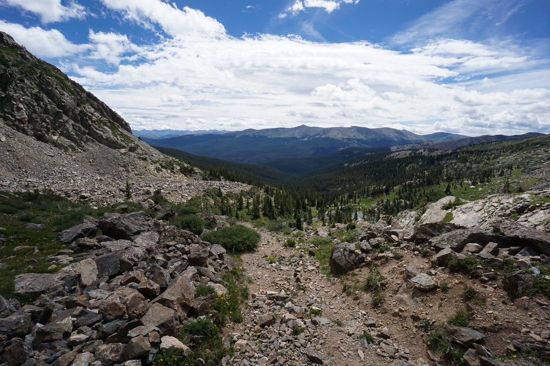
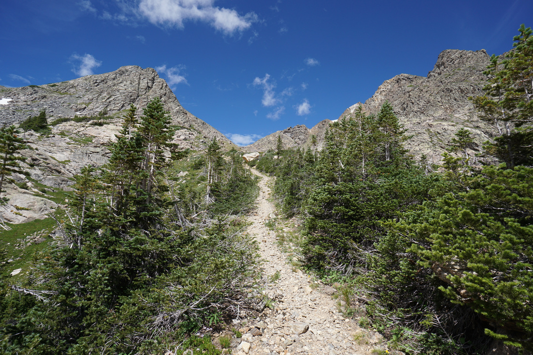
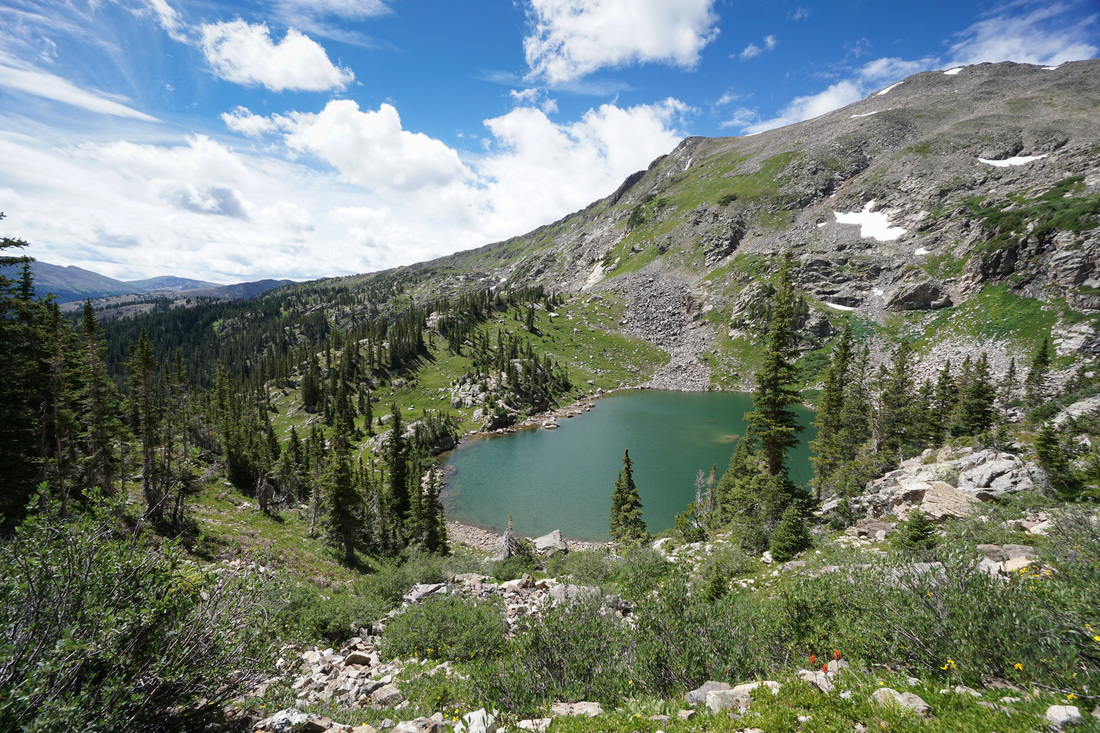
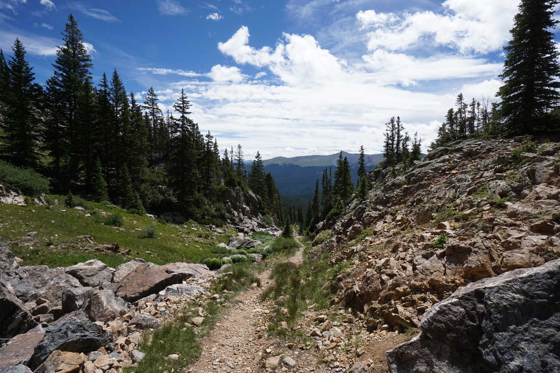
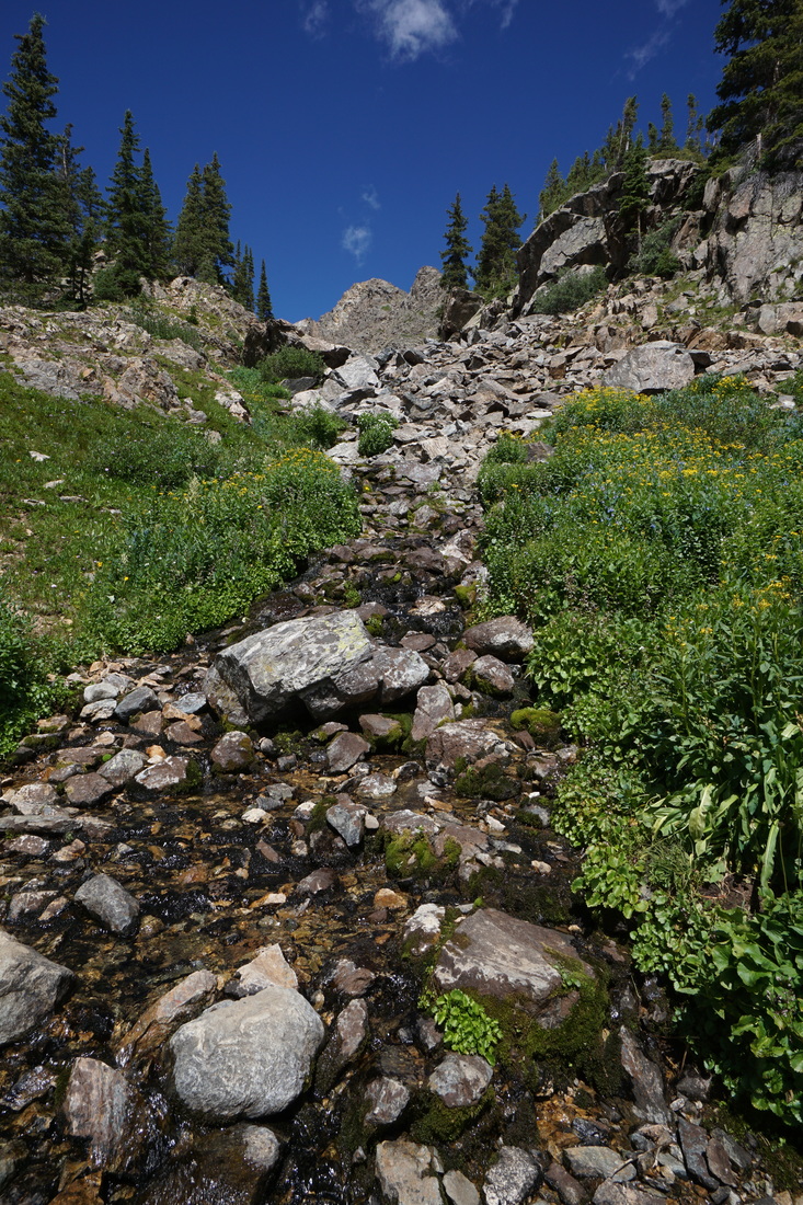
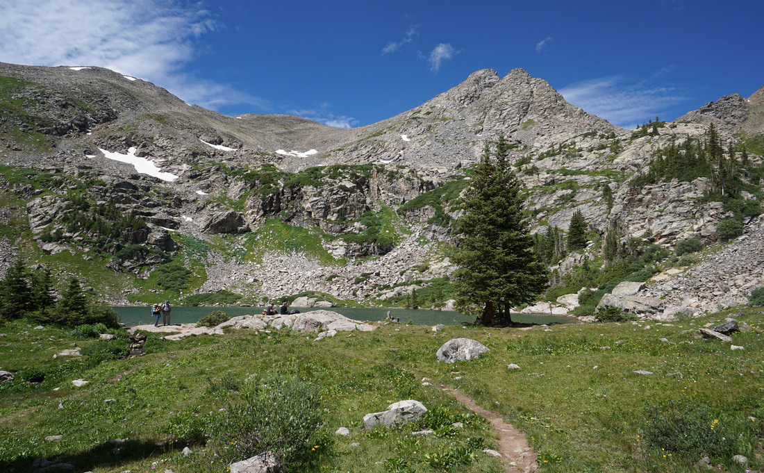
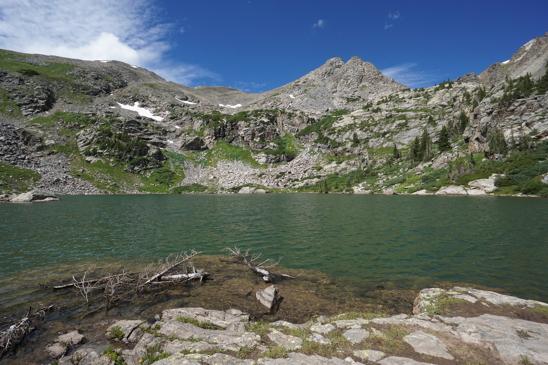
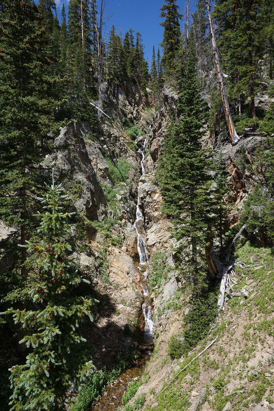
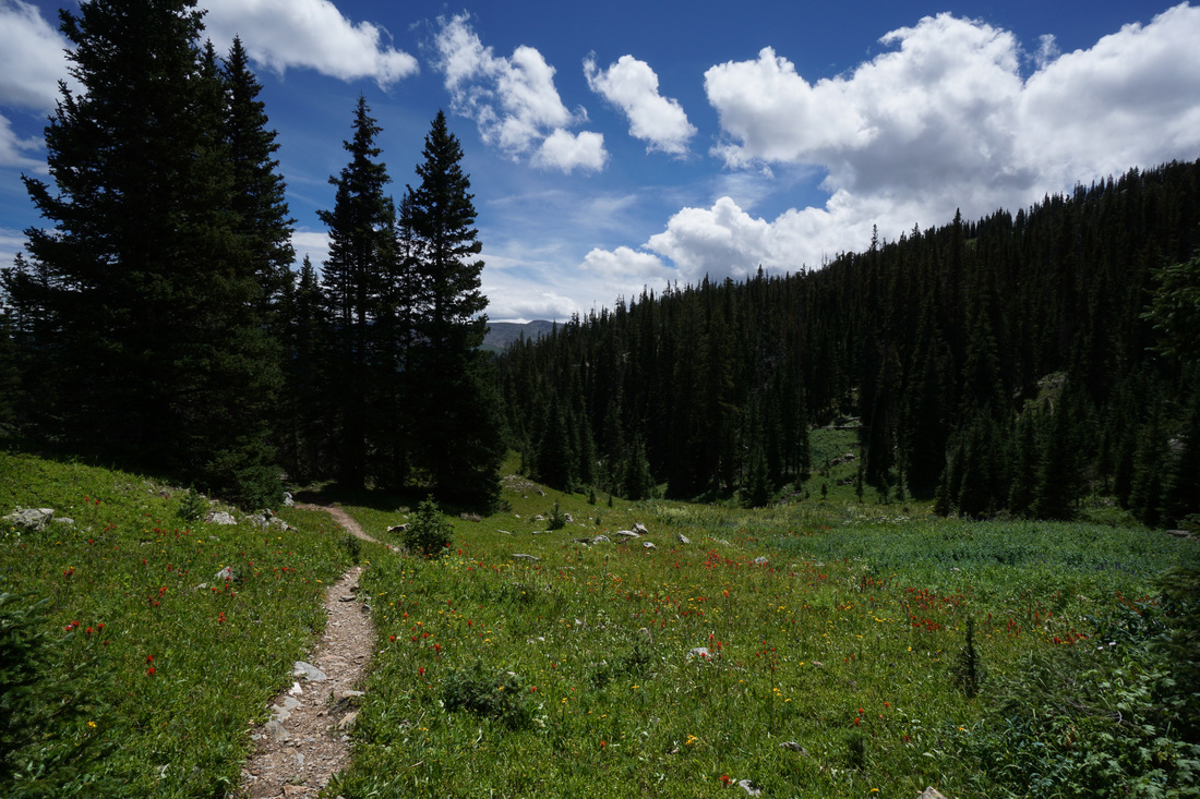
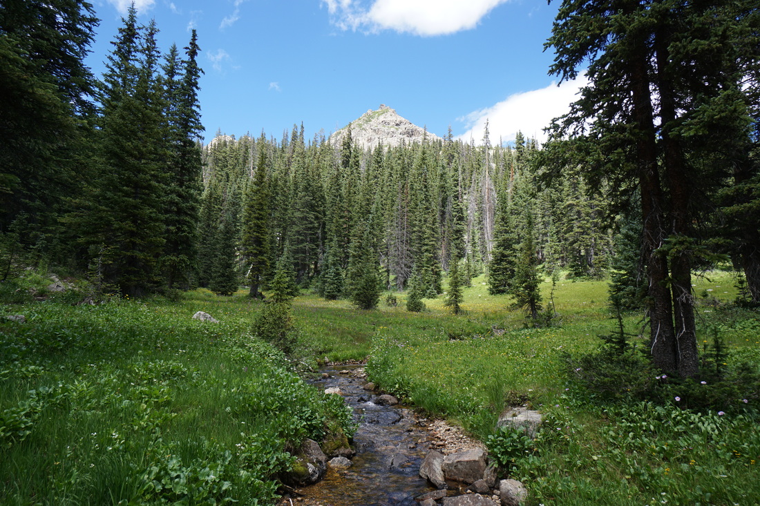
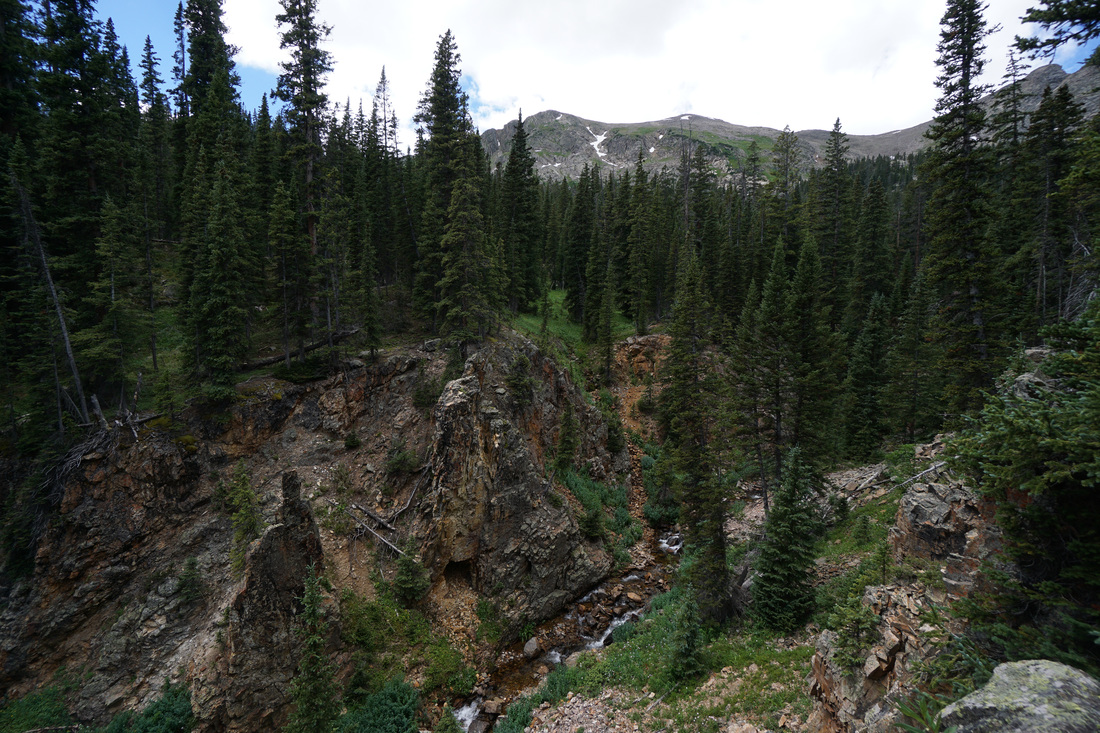
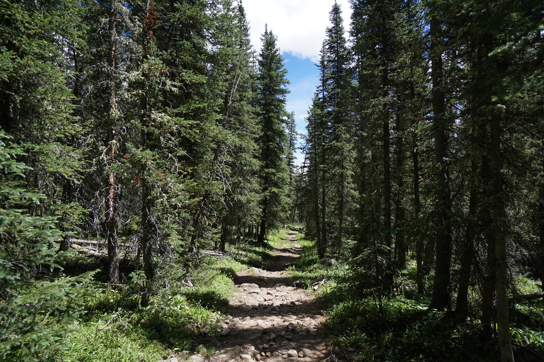
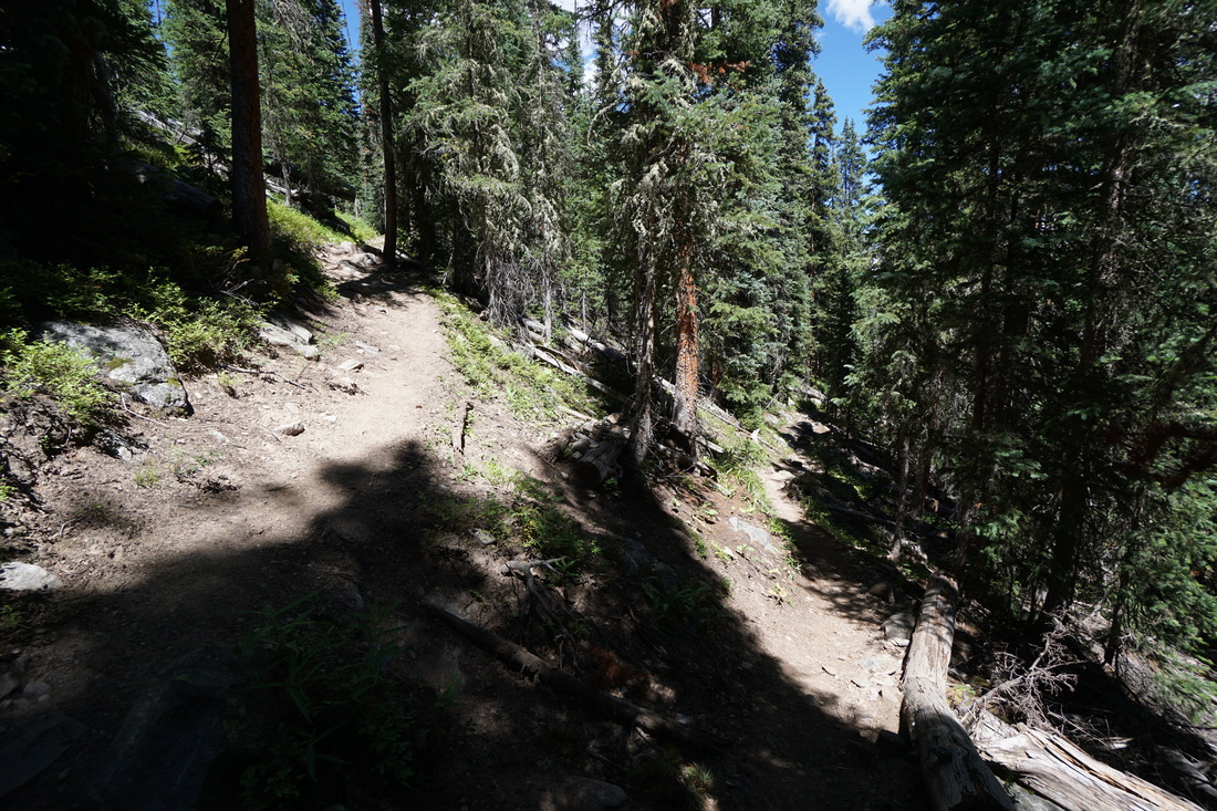
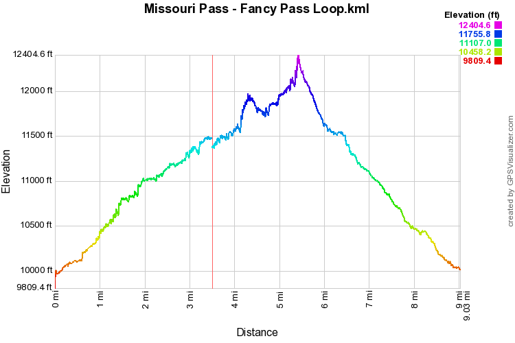
From the Missouri Lakes trailhead start heading up along a wide dirt road through the evergreen forest. Before long the road starts climbing steeply to a small pond and the Holy Cross Wilderness boundary. From here the trail narrows as is continues to climb up through the dense forest. The trail parallels and intersects Missouri Creek which carves a narrow and deep gorge through the rock. Numerous cascades and waterfalls provide entertainment during your forest ascent. The trail can be steep, rocky, and rugged but it is easy to follow and doesn't last long. After crossing a beautiful alpine meadow lined with peaks, and climbing one last time, you'll find yourself at the Missouri Lakes with their wetlands, ponds, and mountain wall. The jagged sawtooth ridge that connects Savage Peak (a 13er) with Missouri Pass will make you feel small and huge at the same time. There are two main Missouri Lakes and numerous associated ponds. The lower lake sees the most visitation and is a great place to camp. A few hundred feet higher on the trail is the upper lake which is beautiful but more exposed. Campsites are easy to find at both lakes. Heading up-basin from the upper lake is a smaller upper upper lake, a fantastic cascading creek complete with red rock boulders, and the magnificent climb up to Missouri Pass. The views to the east mixed with majestic peaks all around, snowfields, and wildflowers make this a highlight of the trek. Follow the steep rock trail to Missouri Pass (11,986 ft) and try not to blink, the view is too incredible not to have your full attention. From the top of Missouri Pass you look out on the Cross Creek basin, surrounded by unnamed 13ers (except for the tallest, Mt. Jackson), and down on Treasure Vault Lake. The trail dips down over rolling, wildflower filled terrain, crosses a creek under some mining relics, and climbs the rocky trail up to Fancy Pass. The view leading up to Fancy Pass is incredible. Check out the photos in the gallery as words just don't do it justice. Fancy Pass (12,390ft) itself is rocky and jagged and spills east onto the steep, and often snow-filled trail down to Fancy Lake. Be careful on the snowfields here as they linger well into July and August and can be dangerous. The hike down from the pass to the lake, and beyond, is steeper than the hike up the Missouri Basin, but no less beautiful. When you reach the trail junction with the trail to Holy Cross City (old mining ghost town) turn right and head down to Fancy Lake. Here there is a tricky section...follow the trail and cross at the head of the deep ravine to the shores of Fancy Lake (spectacular) and be sure to return to the north side of the ravine to find the Fancy Lake Trail. There are various social trails that make it confusing, but the main trail heads downhill on the north side (left when looking down basin from the lake) of the ravine and crosses it further downstream. As you head down the trail from Fancy Lake you'll re-enter the dense evergreen forest, with similar gorges and wildflower meadows to the hike up Missouri Creek. Be sure to check out the huge cascading waterfall on your way down. The last 2 miles or so can get monotonous after a long hike but keep heading down and when you reach the large rock outcropping...you're almost back to the Trailhead. This hike can be deceiving, from the mileage, it seems like a moderate day hike, but keep in mind that you gain more than 4,000 feet of elevation over rocky steep terrain. If you have the time to backpack it and take your time in the Cross Creek basin, then by all means do so. It is too pretty to zoom through...really needs to be savored... |
|