|
Directions: From I-70 (east of Copper Mountain and west of Frisco) exit at Officers Gulch and head east along the side road. The parking area is obvious and on the eastern side of the pond.
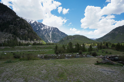
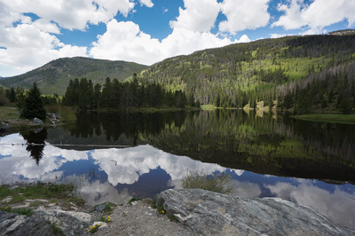
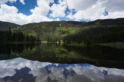
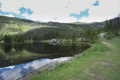
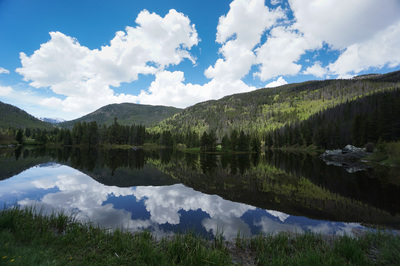
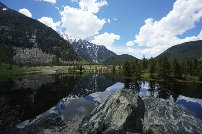
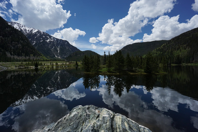
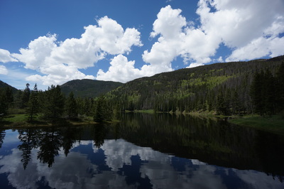
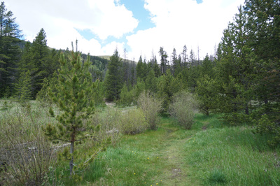
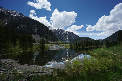
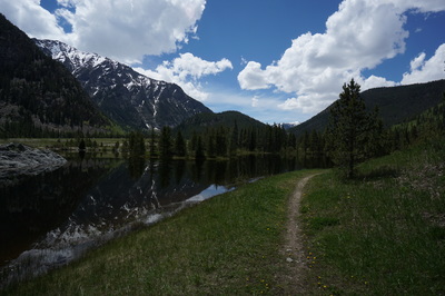
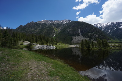
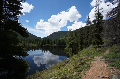
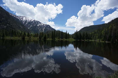
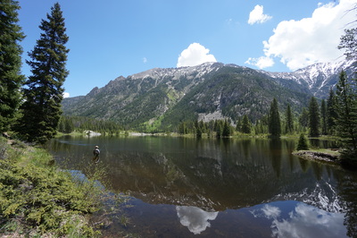
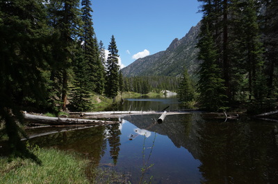
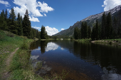
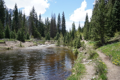
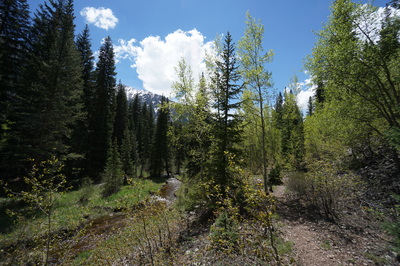
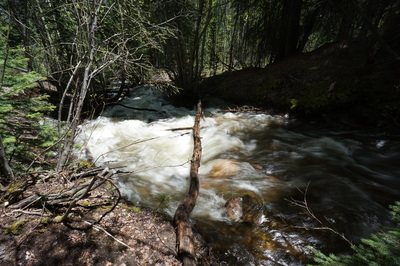
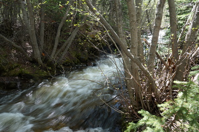
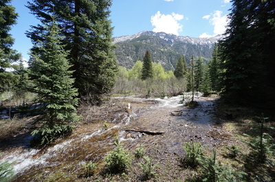
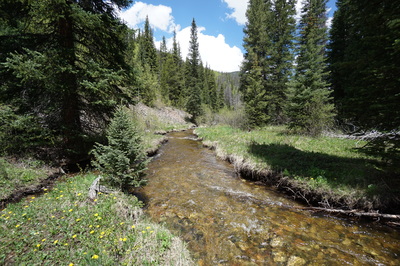
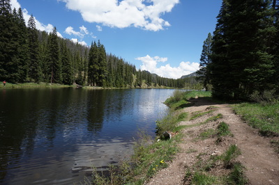
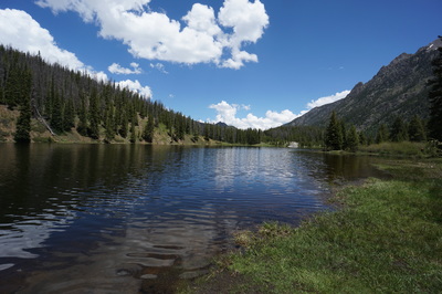
Tucked away between Frisco and Copper Mountain in a corner of Tenmile Canyon is the small Highway exit know as Officers Gulch. Officers Gulch Pond, just outside of the Eagle's Nest Wilderness boundary, is very popular with fishing and canoeing, and there is a short pleasant trail around the pond. When the pond surface is still the reflection of the Tenmile Range is stunning. If you follow the trail counterclockwise from the parking area you’ll follow easy trail all the way along the north shore of the pond. As you reach the western shore, where the Blue River feeds into the pond, the trail becomes a bit trickier. The trail itself continues west for some time, leading to campsites and beautiful secluded fishing spots. However, you want to be keeping your eye’s peeled from a river crossing, this task is very difficult in the Spring when the water levels are high and the river is gushing from rain and snow melt. You may have to find a log or two to cross on. Likewise the trail on the southern shore can be muddy, even underwater, and you may have to double back to find a dry trail. Eventually you’ll connect with a footbridge crossing the river outlet and leading back to the parking lot. If you explore the trail heading west from the north shore, then plan on the hike being about 1.5 miles. |
- HOME
- ABOUT
-
HIKES BY REGION
-
NATIONAL PARK HIKES
- BENT'S OLD FORT NATIONAL HISTORIC SITE
- BLACK CANYON OF THE GUNNISON NATIONAL PARK
- COLORADO NATIONAL MONUMENT
- CURECANTI NATIONAL RECREATION AREA
- DINOSAUR NATIONAL MONUMENT
- FLORISSANT FOSSIL BEDS NATIONAL MONUMENT
- MESA VERDE NATIONAL PARK
- ROCKY MOUNTAIN NATIONAL PARK
- GREAT SAND DUNES NATIONAL PARK
- HOVENWEEP NATIONAL MONUMENT
- SAND CREEK MASSACRE NATIONAL HISTORIC SITE
- YUCCA HOUSE NATIONAL MONUMENT
- HIKES BY CATEGORY
- NEWS
- WEBCAMS
- $UPPORT GHC
- INTERACTIVE MAP
Officer's Gulch Pond
White River National Forest
Date Hiked: June 13, 2015
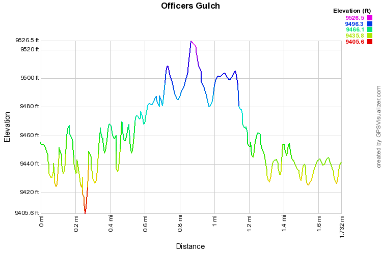
Distance: 1.7 mi (RT)
Elevation Gain: 190ft
Elevation Min.Max: 9,406 to 9,527 ft
Trailhead Lat/Long: 39º 32' 24" N; 106º 08' 34" W
Managing Agency: U.S. Forest Service
Fee: None

