|
DIRECTIONS: From I-70, take exit 167 for Avon. At the traffic circle, exit onto Nottingham Road and head west along a frontage road. At just about the end of the frontage road, turn right onto Metcalf Road and start heading up into the foothills. Soon Metcalf becomes Wildridge Road. Turn left onto Old Trail Road, left onto Saddle Ridge Loop, and stay straight onto Beaver Creek Point to the trailhead and small parking area on the right. The park is surrounded by private homes to please respect the parks' neighbors.
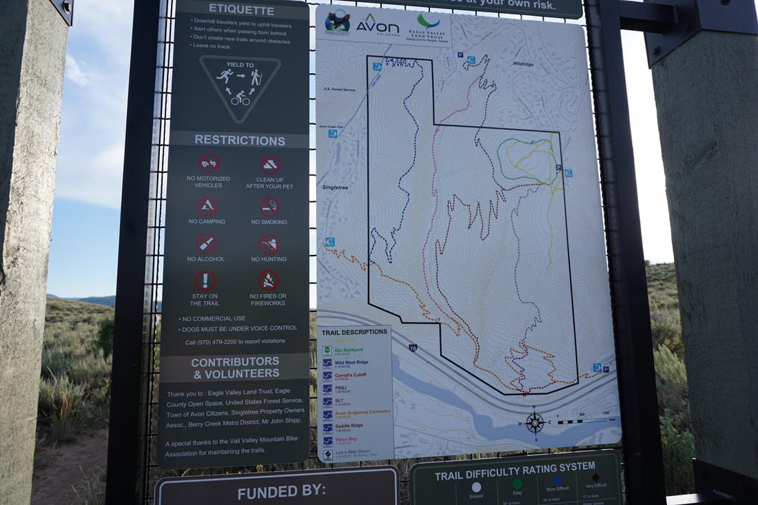
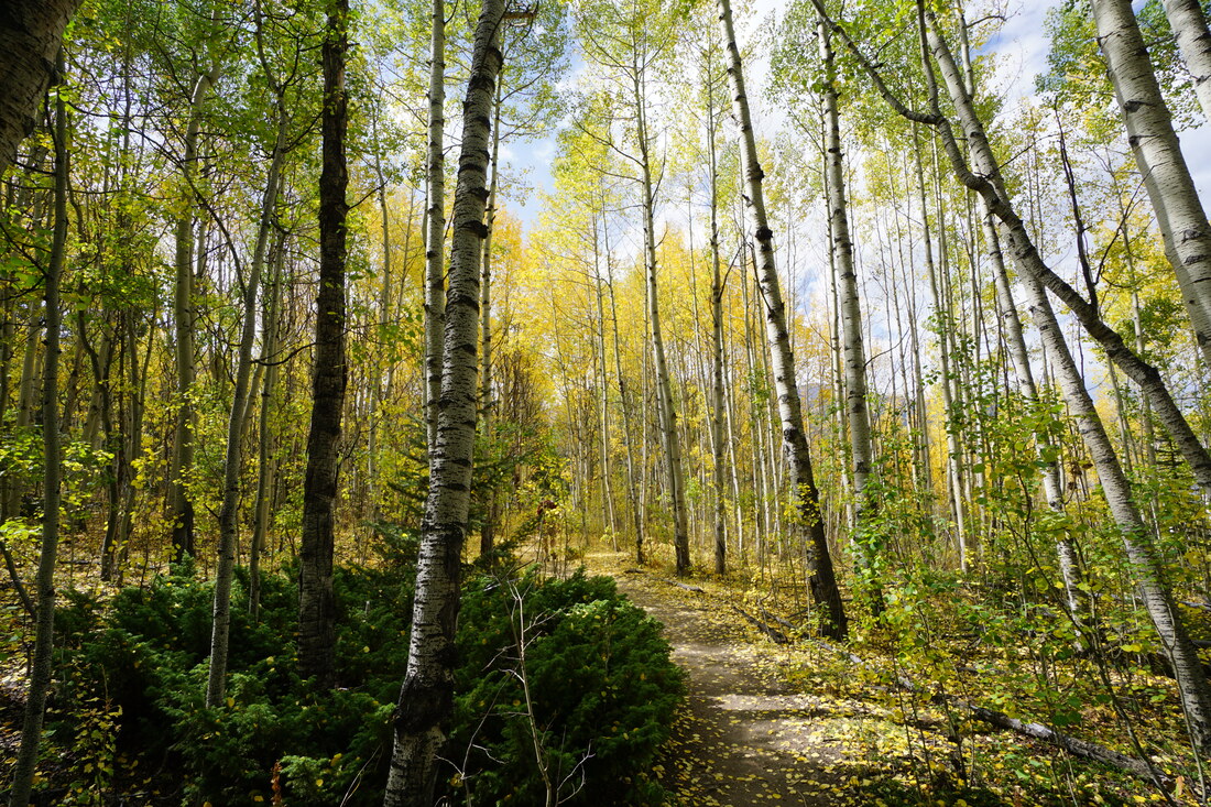
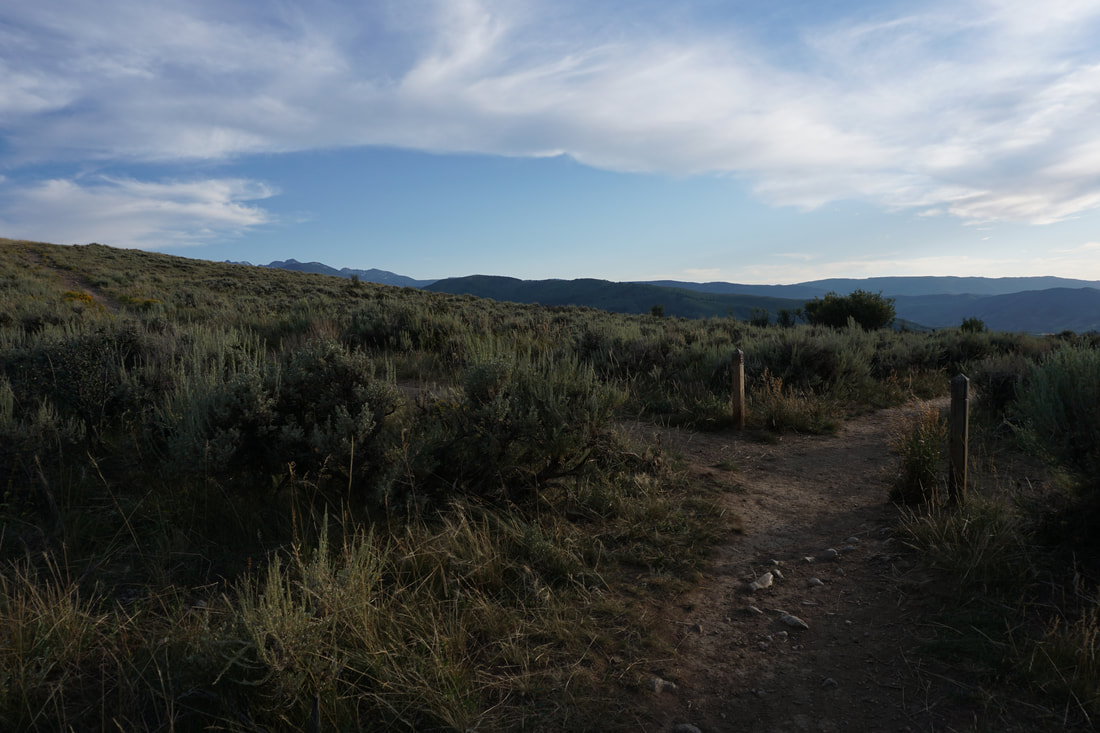
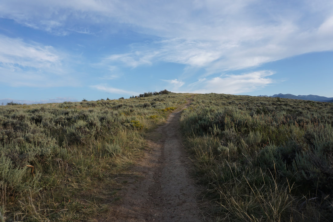
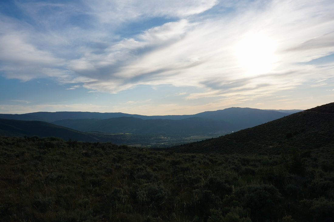
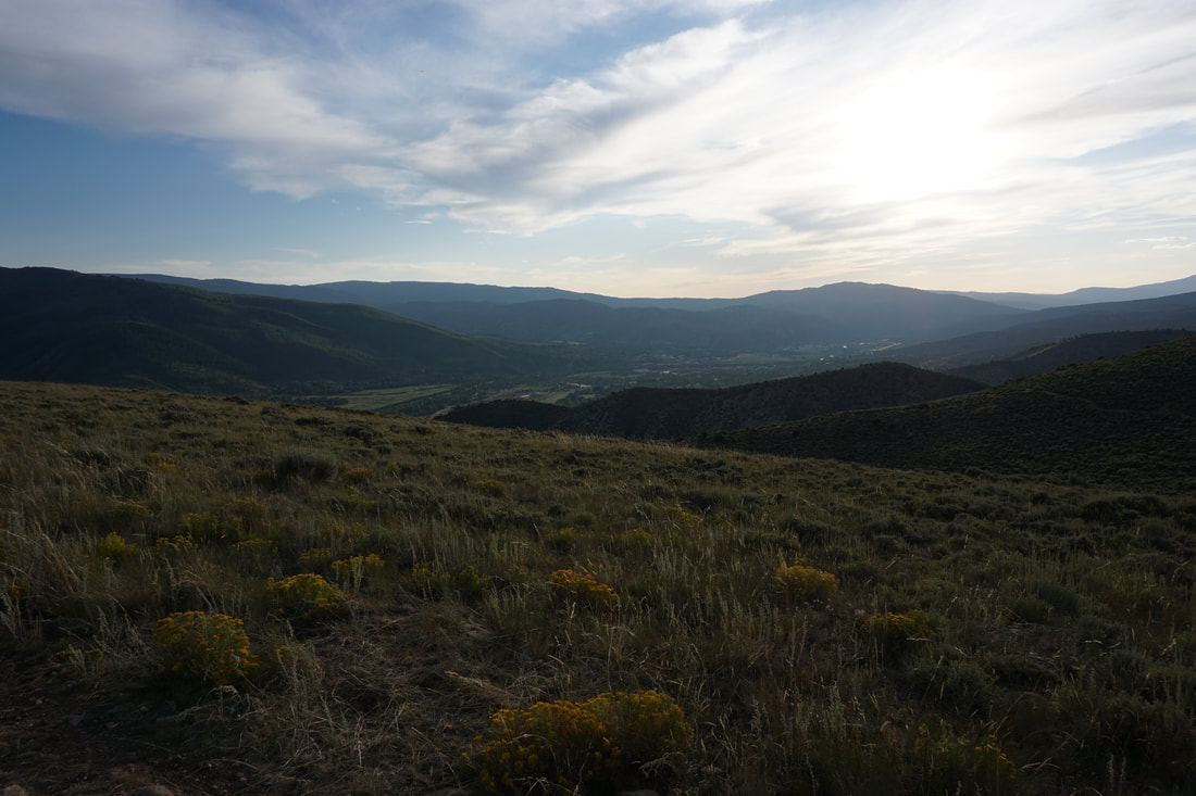
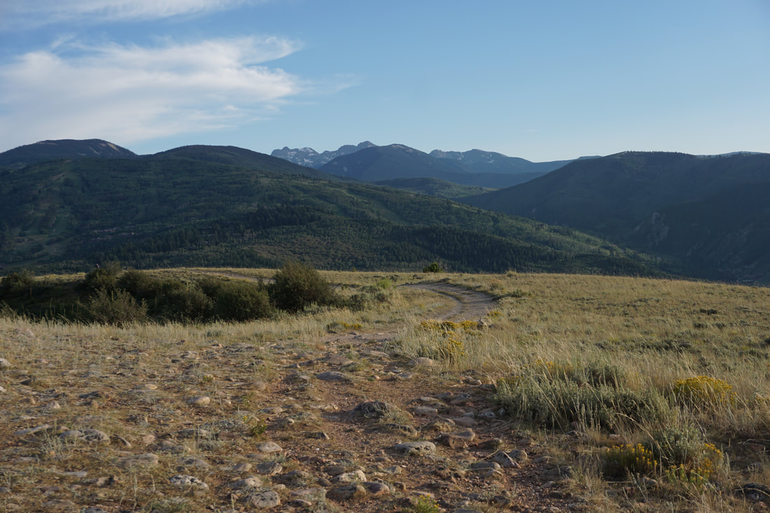
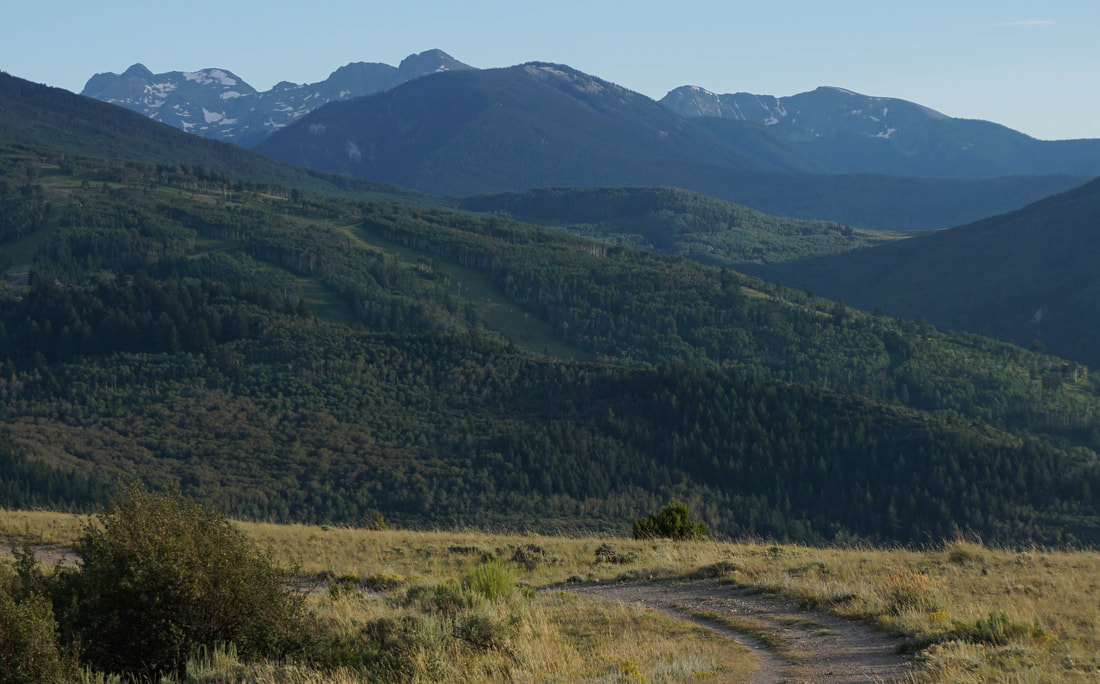
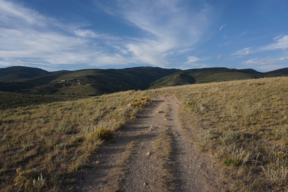
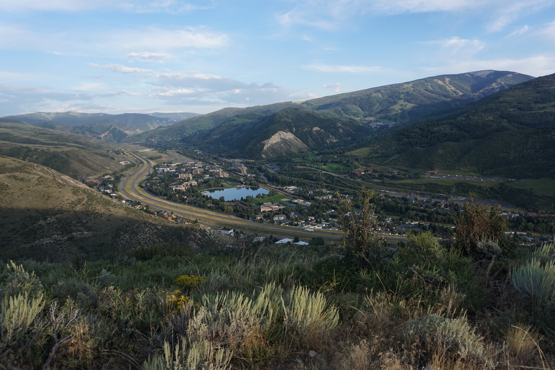
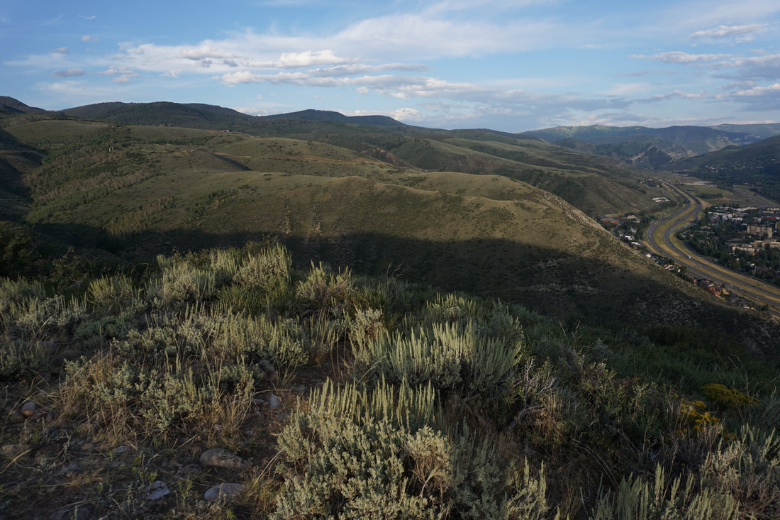
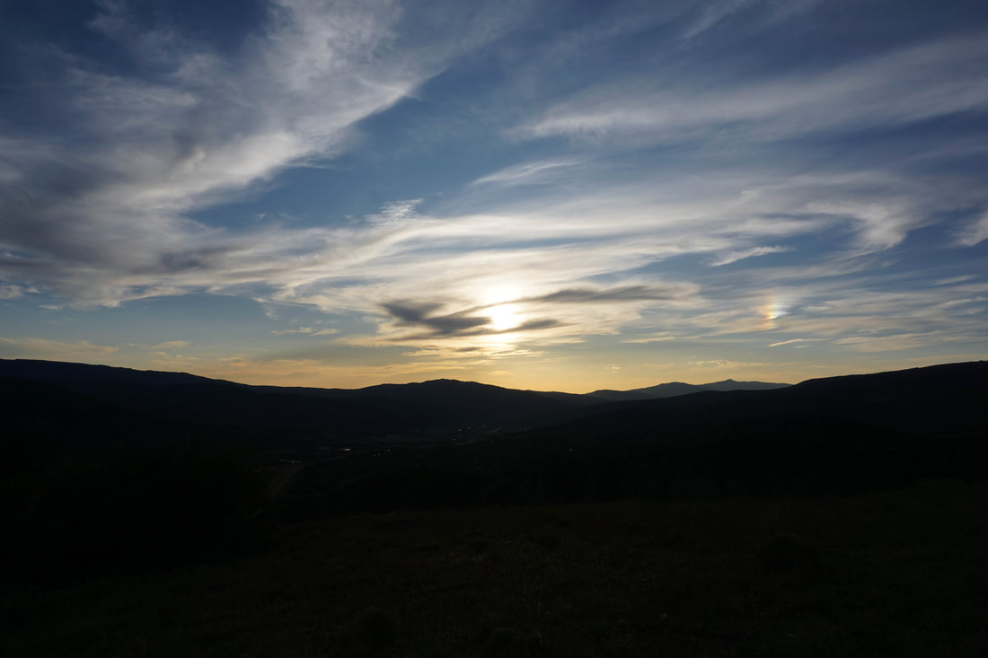
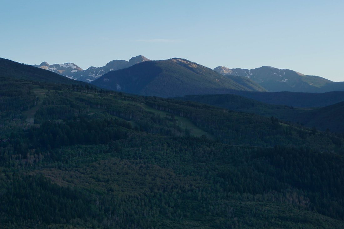
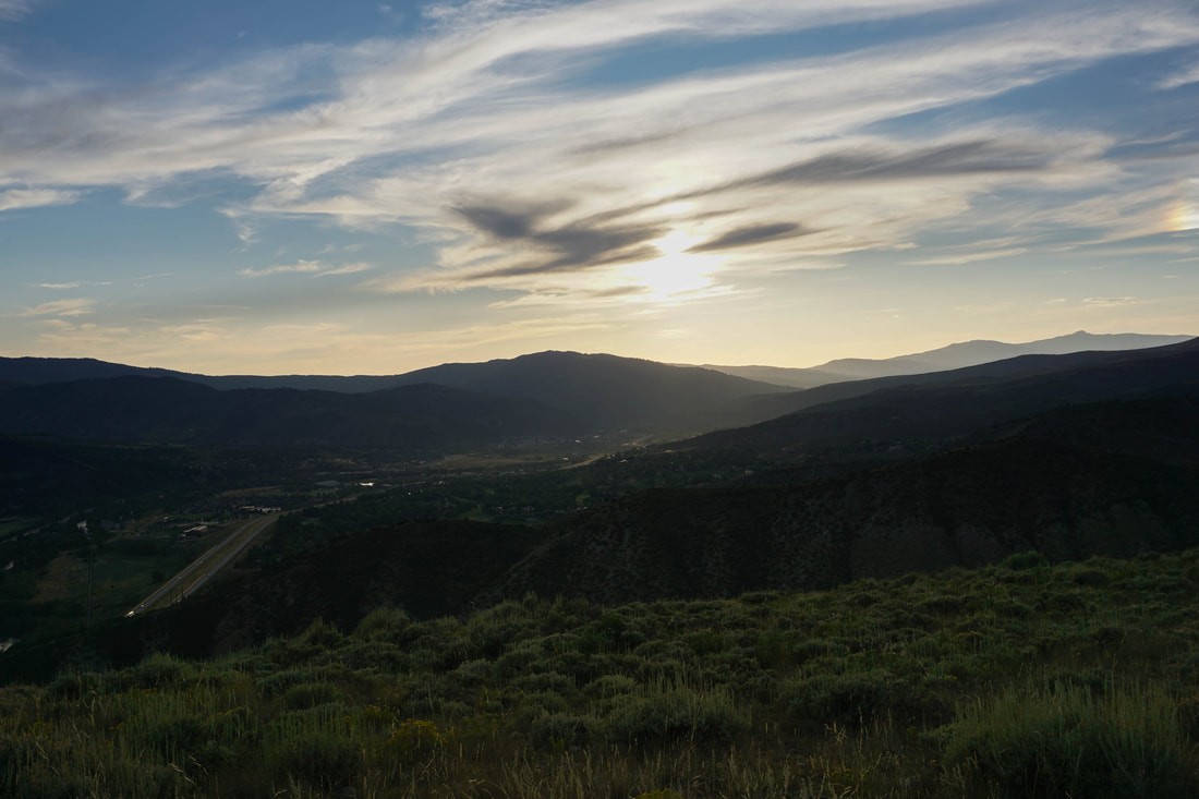
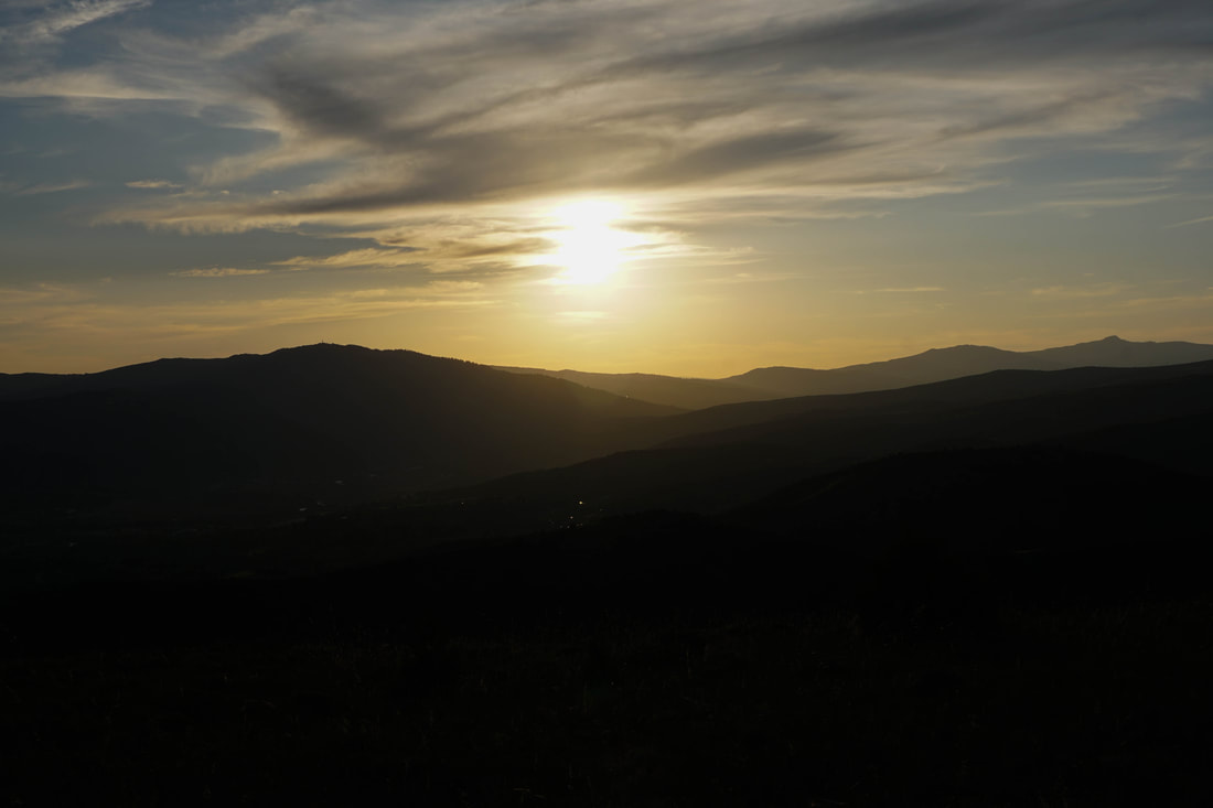
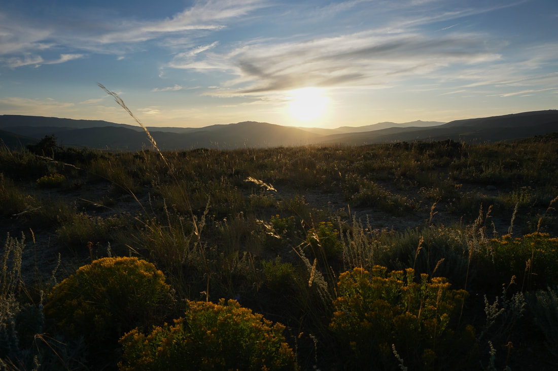
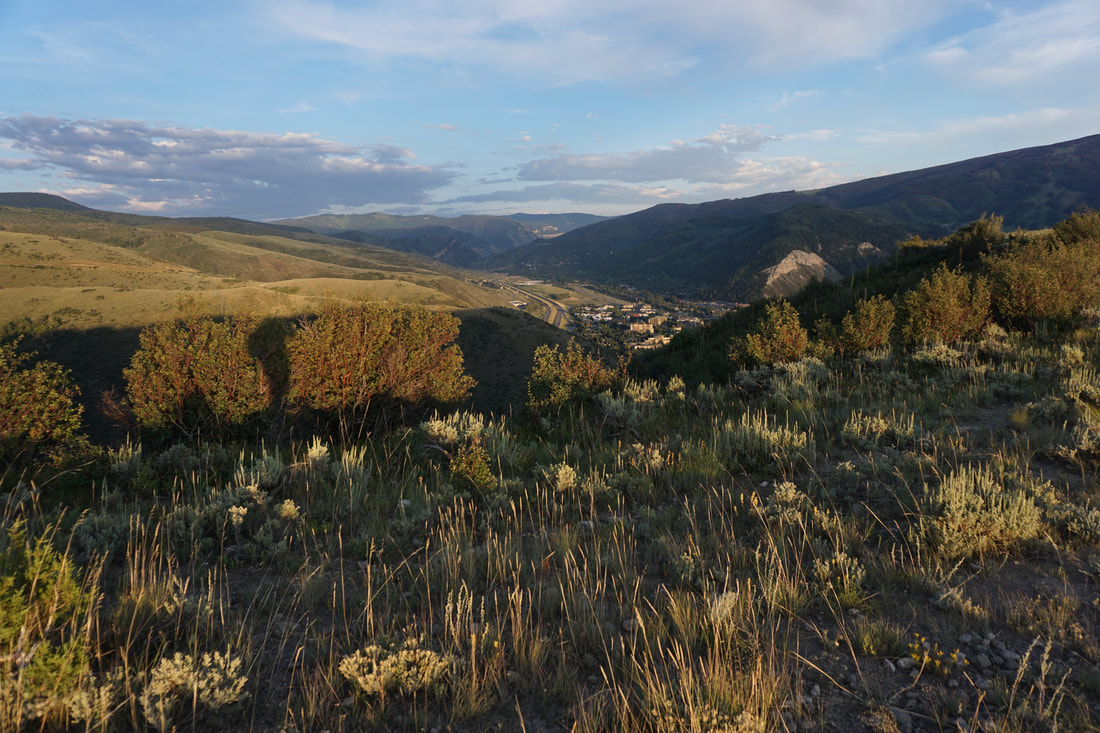
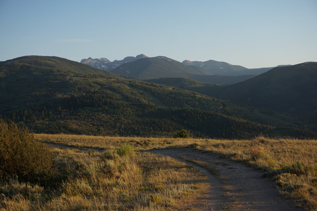
West Avon Preserve encompasses a small portion of the Gore Range foothills and provides a collection of hiking and biking trails. The trails form multiple loops that can take you from the 1-70 corridor up to the top of the foothills. You can get a small taste of this preserve by hiking out to Beaver Creek Point. While this trail is not named on the official trail map, it leaves from the Beaver Creek Point Trailhead and leads to a point, overlooking Beaver Creek Ski Resort...safe to assume, therefore, that this point is called Beaver Creek Point... The trail is relatively easy and short. It mostly consists of a wide path that rolls along with the hilly terrain. Along the way you are treated to wonderful views of the town of Avon, Beaver Creek Ski Resort, and the high peaks of the northern Sawatch Mountains including Mt. of the Holy Cross. The trail arrives at multiple "summits" with the last one being Beaver Creek Point. The trail then continues downhill but does not appear to be an official trail at this point. Beaver Creek Point is a great hike for kids or just a quick outing if you are visiting the Avon/Vail area and want to get a hike in. Sunset is particularly wonderful here as the foothills take on a golden glow and you forget that I-70 is just a few hundred feet away. Happy Hiking. |
|
- HOME
- ABOUT
-
HIKES BY REGION
-
NATIONAL PARK HIKES
- BENT'S OLD FORT NATIONAL HISTORIC SITE
- BLACK CANYON OF THE GUNNISON NATIONAL PARK
- COLORADO NATIONAL MONUMENT
- CURECANTI NATIONAL RECREATION AREA
- DINOSAUR NATIONAL MONUMENT
- FLORISSANT FOSSIL BEDS NATIONAL MONUMENT
- MESA VERDE NATIONAL PARK
- ROCKY MOUNTAIN NATIONAL PARK
- GREAT SAND DUNES NATIONAL PARK
- HOVENWEEP NATIONAL MONUMENT
- SAND CREEK MASSACRE NATIONAL HISTORIC SITE
- YUCCA HOUSE NATIONAL MONUMENT
- HIKES BY CATEGORY
- NEWS
- WEBCAMS
- $UPPORT GHC
- INTERACTIVE MAP
Beaver Creek Point
West Avon Preserve
Date Hiked: August 19, 2019
Distance: 1 mi (RT)
Elevation Gain: 250 ft
Elevation Min/Max: 8,148 to 8,267 ft
Trailhead Lat/Long: 39º 39' 03" N; 106º 32' 30" W
Managing Agency: Eagle County Open Space / Avon
Fee: None