|
DIRECTIONS: From I-70 take exit 190 at Vail Pass. Cross over the highway and pull into the recreation area. Shrine Pass Road is a good dirt road, closed in winter. Follow Shrine Pass road to the obvious parking area and trailhead. Shrine Pass Road is in pretty good shape but it can be narrow and rocky. SUV or 4WD is recommended.
Shrine Mountain is a narrow ridge that sits high on Vail Pass and is one of the most popular hikes in the area. The hike is relatively short at (4.6 mi roundtrip) and is absolutely stunning with one of the best views in Colorado, so it’s understandable why the trail is so popular. If you get there early and avoid the summer weekends, you should have a wonderful hike. Even if it’s busy, the trail is so spectacular that you won’t mind sharing it with 100 of your closest strangers...
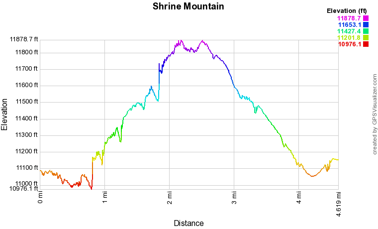
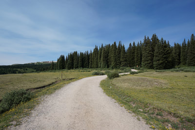
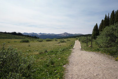
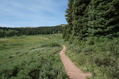
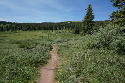
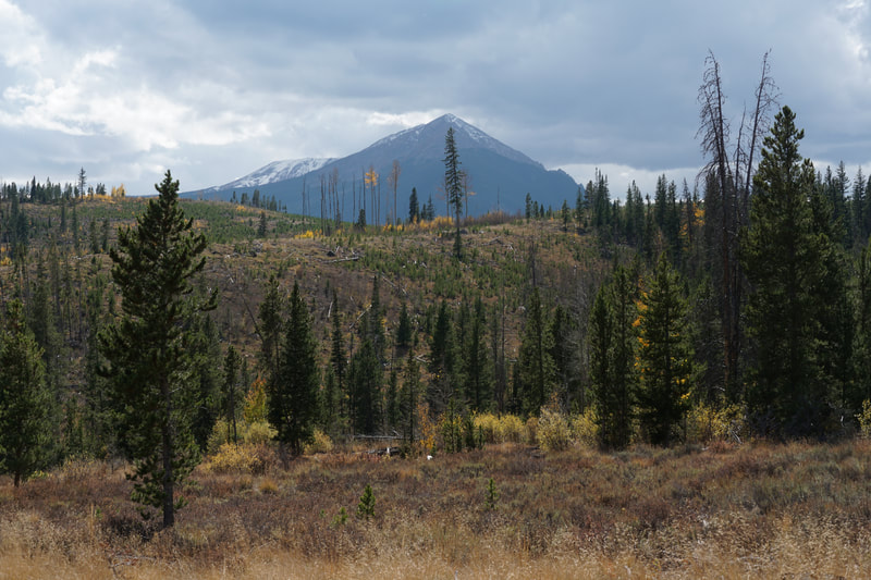
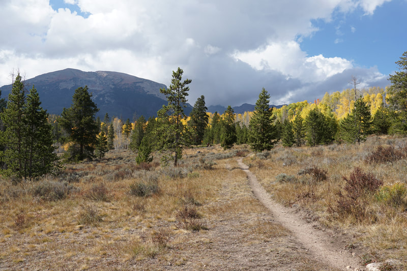
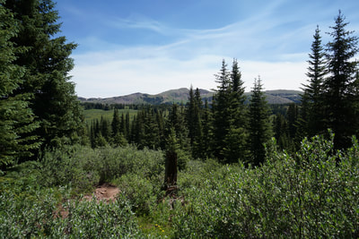
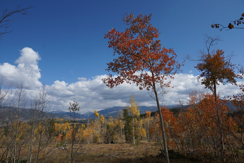
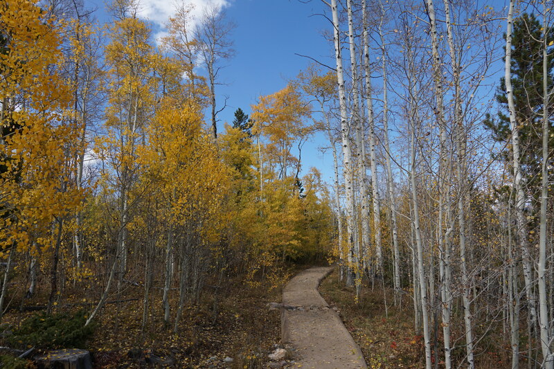
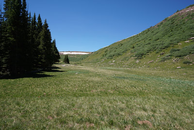
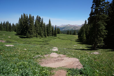
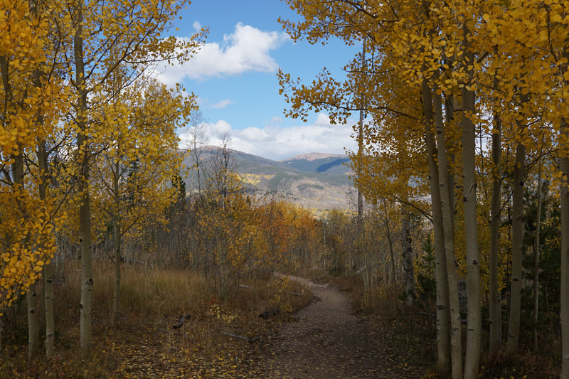
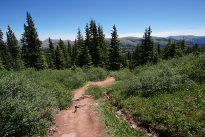
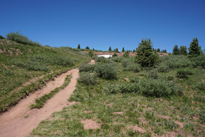
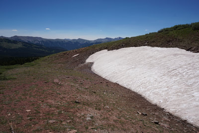
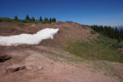
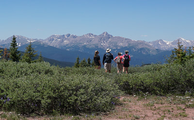
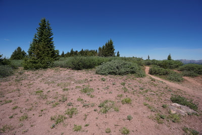
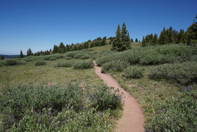
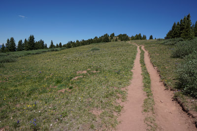
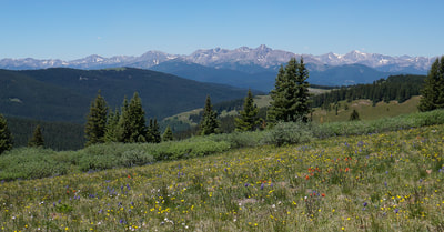
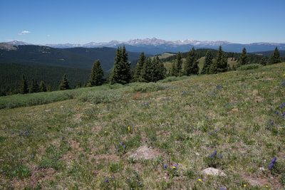
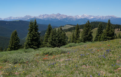
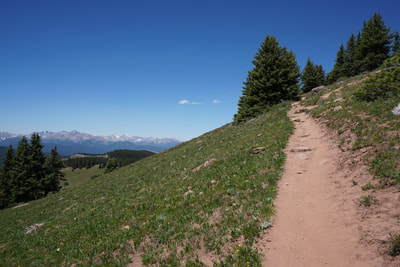
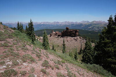
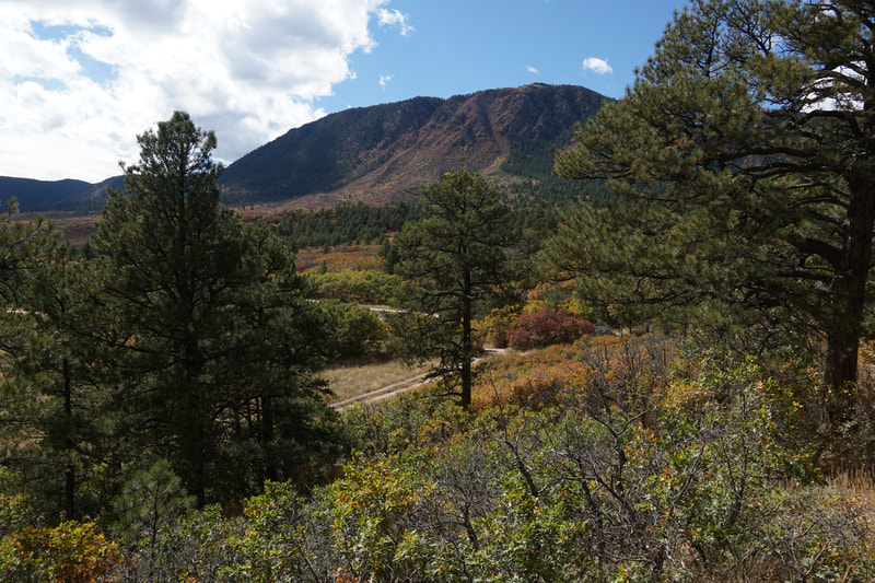
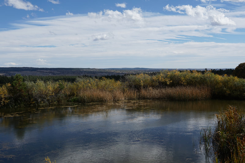
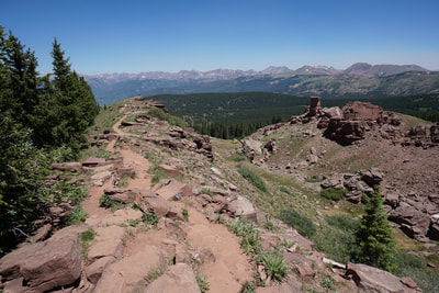
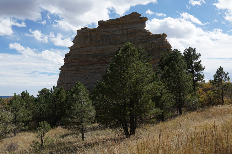
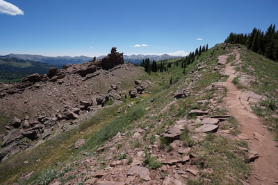
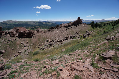
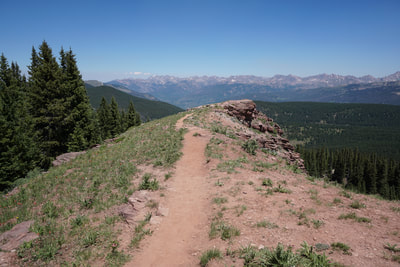
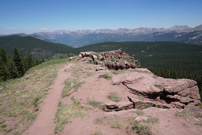
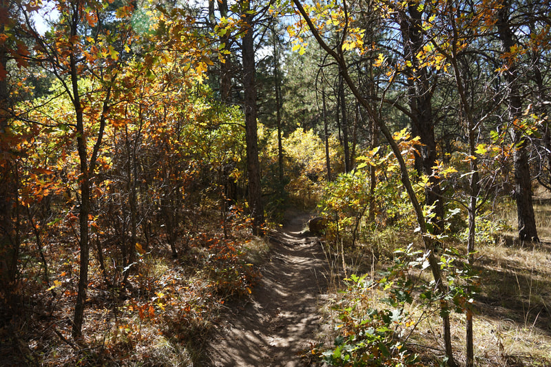
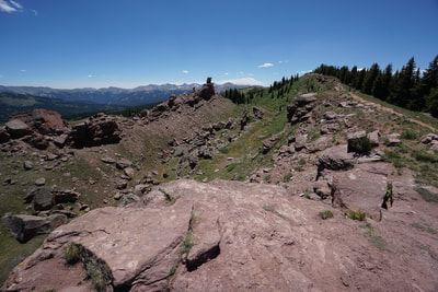
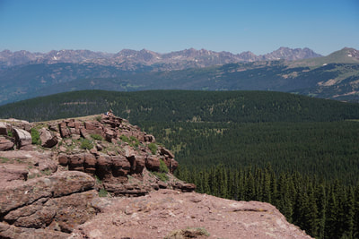
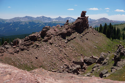
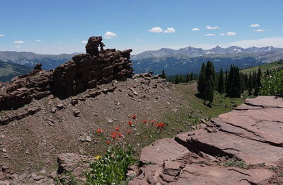
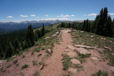
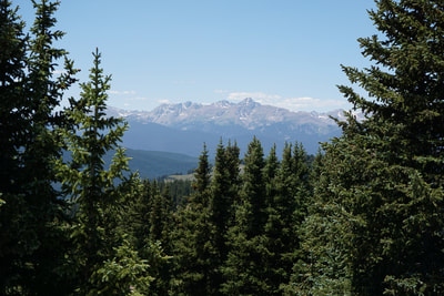
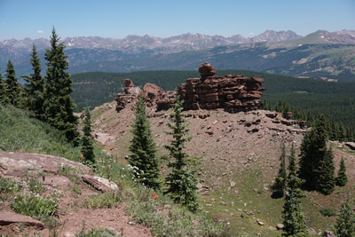
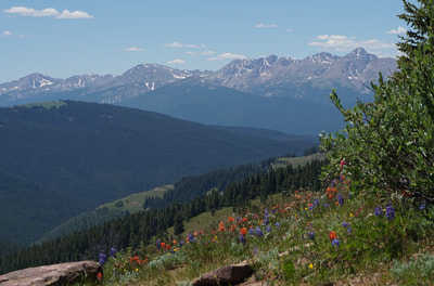
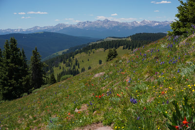
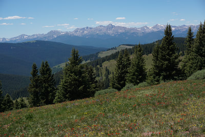
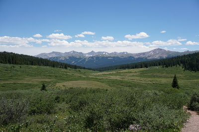
The trail starts by skirting the edge of the forest looking over a high alpine meadow with the Tenmile Range in the distance. The trail is immediately beautiful. The trail gradually descends to a pond before regaining elevation and weaving through pine forest and open meadows. As you hike the views behind you of the Gore Range get better and better. The terrain stays largely the same for the first 1.4 miles at which point you’ll emerge from the forest and find yourself under a rocky cliff above treeline. The trail curves around the west side of the cliffs and climbs up to the Shrine Mountain Ridge. When you top out on the ridge, be sure to stay straight and hike to western edge of the ridge. The views of the Mt. of the Holy Cross (14,005 ft) across the valley in the Sawatch Range are incredible. In the summer, the grassy slopes of the ridge are covered in a variety of wildflowers making this view all the more spectacular. Head north (right) and continue hiking up the ridge with the amazing Sawatch views continuing until the view shifts to the north and east and the Gore Range presents itself in all its craggy splendor. Mountain views aside, the real attraction of this hike is a large rocky fin (that my 4 year old said looks like a pirate ship) towering just out of reach, a monument to the awesome power of wind and rain. The dark red rock formation provides an interesting contrast to the gray granite mountains in the distance and makes landscape photography easy. You can hike along the ridge past the summit to viewpoints and rock outcroppings. Even with a large crowd there is plenty of room to spread out and find a quiet resting spot. This is one of those Colorado hikes that everyone should (and most people do) hike at least once in your life. Sitting at the south edge of the Gore Range, this hike provides views of the Gore Range, the Tenmile Range, and the Sawatch Range all at the same time. This is a great hike for kids but has enough distance and elevation gain to be challenging for adults as well. A Colorado classic for sure. |
- HOME
- ABOUT
-
HIKES BY REGION
-
NATIONAL PARK HIKES
- BENT'S OLD FORT NATIONAL HISTORIC SITE
- BLACK CANYON OF THE GUNNISON NATIONAL PARK
- COLORADO NATIONAL MONUMENT
- CURECANTI NATIONAL RECREATION AREA
- DINOSAUR NATIONAL MONUMENT
- FLORISSANT FOSSIL BEDS NATIONAL MONUMENT
- MESA VERDE NATIONAL PARK
- ROCKY MOUNTAIN NATIONAL PARK
- GREAT SAND DUNES NATIONAL PARK
- HOVENWEEP NATIONAL MONUMENT
- SAND CREEK MASSACRE NATIONAL HISTORIC SITE
- YUCCA HOUSE NATIONAL MONUMENT
- HIKES BY CATEGORY
- NEWS
- WEBCAMS
- $UPPORT GHC
- INTERACTIVE MAP
Shrine Mountain
White River National Forest
Date Hiked: July 2, 2018
Distance: 4.6 mi (RT)
Elevation Gain: 1,500 ft
Elevation Min/Max: 10,976 to 11,888 ft
Trailhead Lat/Long: 39º 32' 47" N; 106º 14' 30" W
Managing Agency: U.S. Forest Service
Fee: only in winter

