|
|
|
Directions: From Silverthorne, head North on Hwy 9. Make a left (west) onto Heeney Road (30) and after about 5 miles, turn left (west) onto Cataract Creek Road. This road is dirt and has a few rough patches but generally is in good shape. Take this road past the Surprise Trailhead to the Lower Cataract Lake Trailhead and parking area.
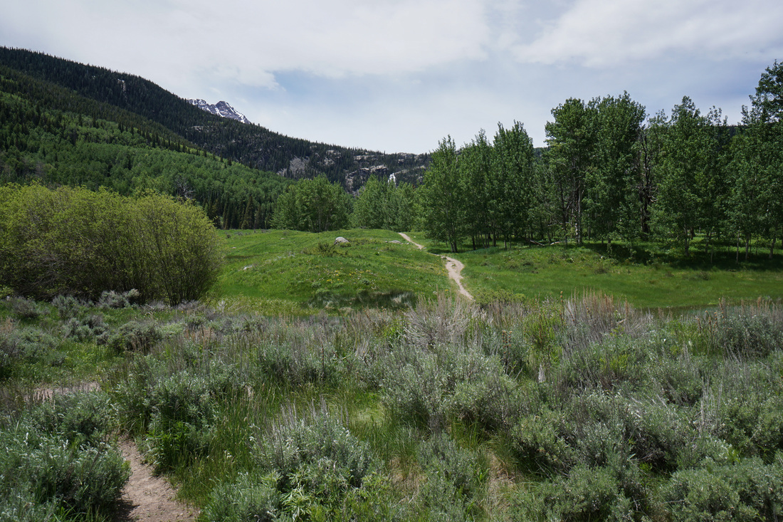
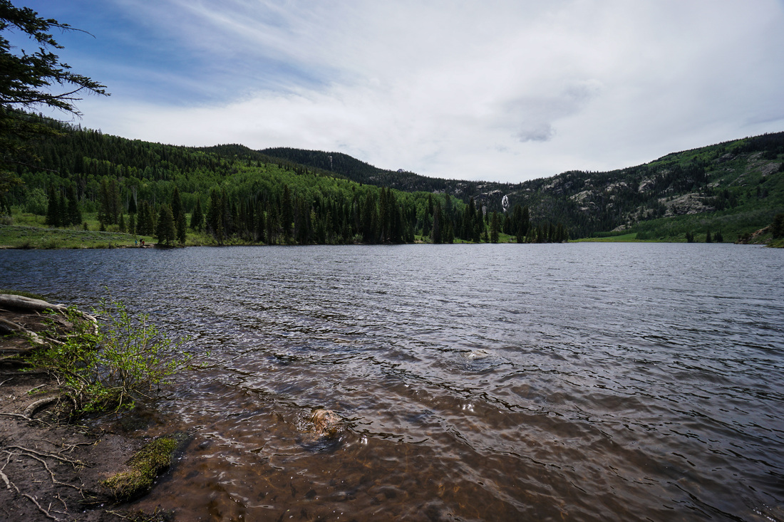
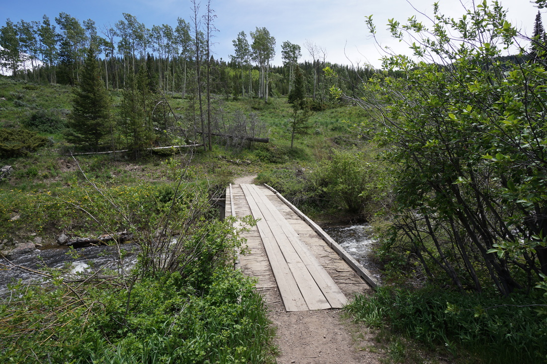
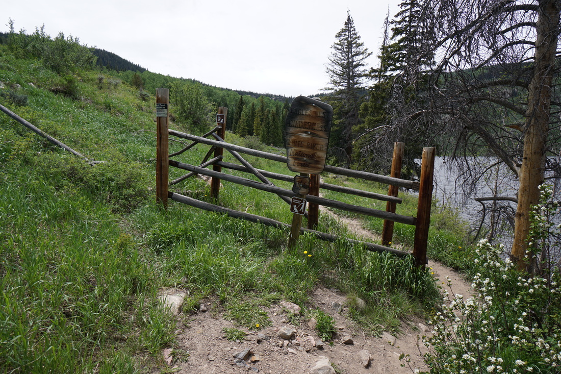
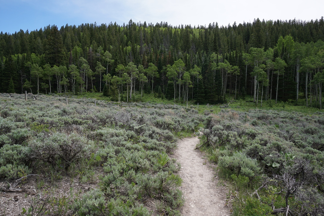
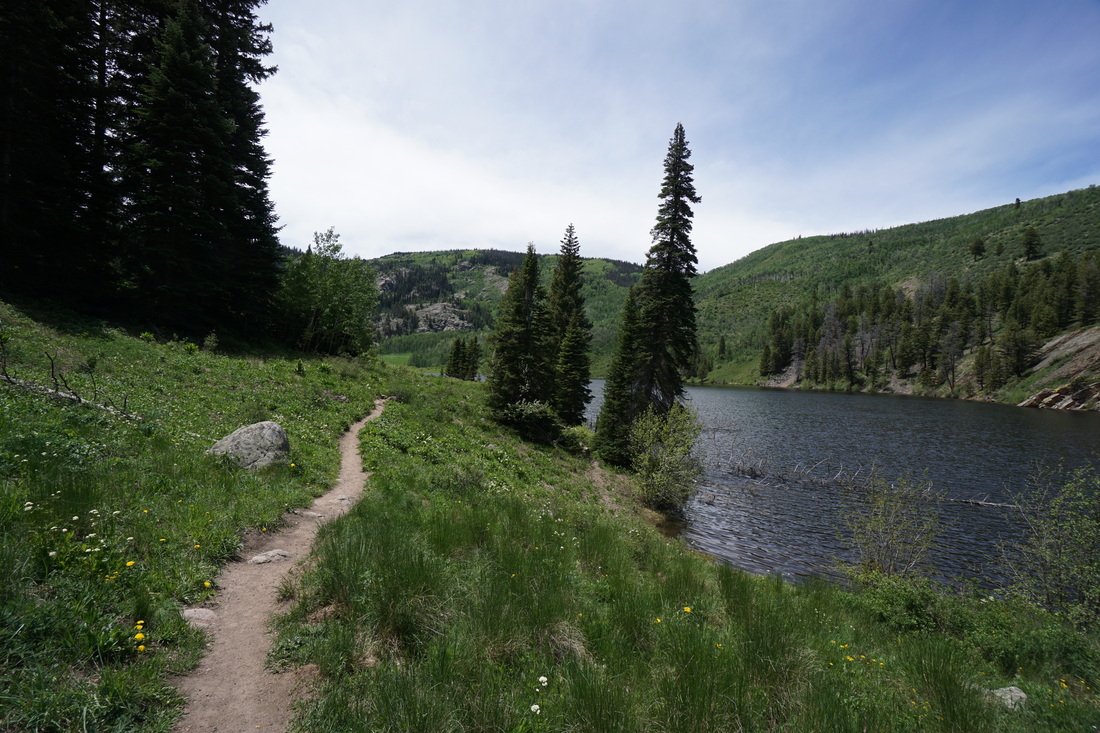
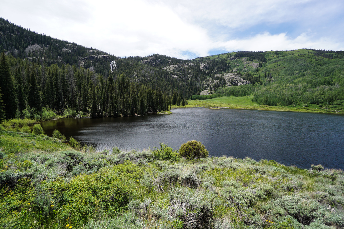
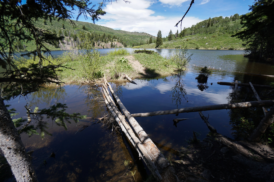
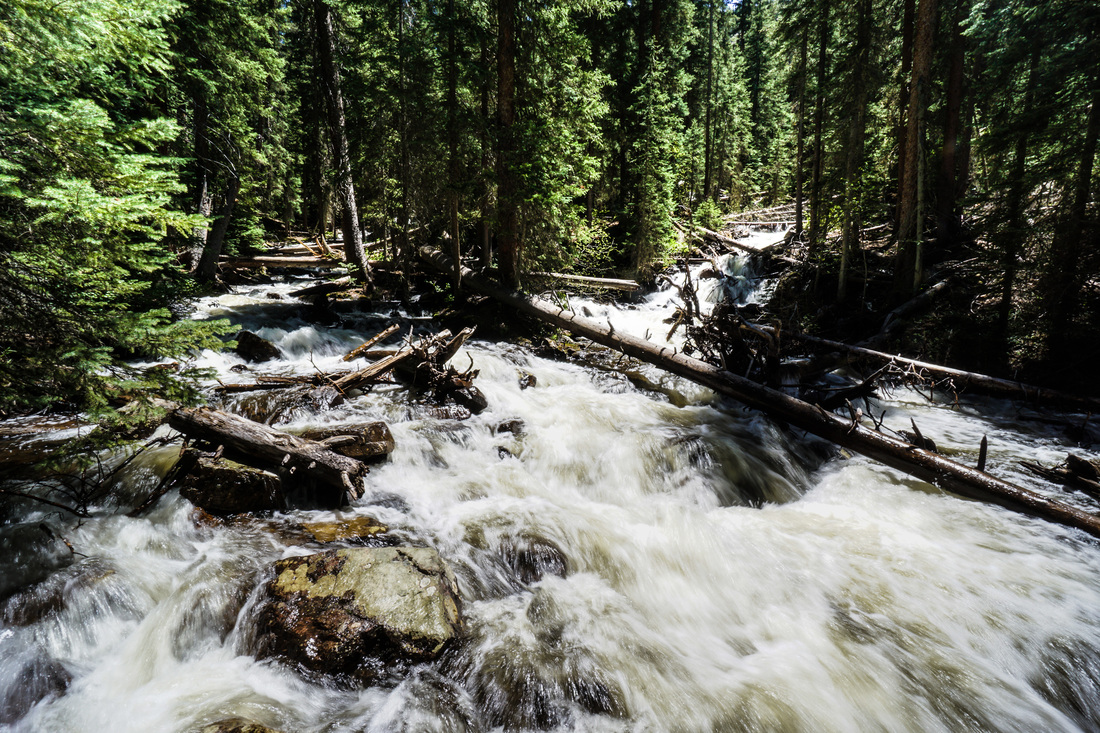
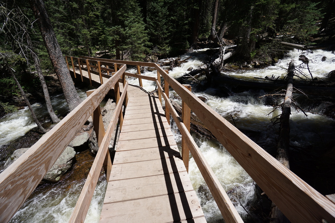
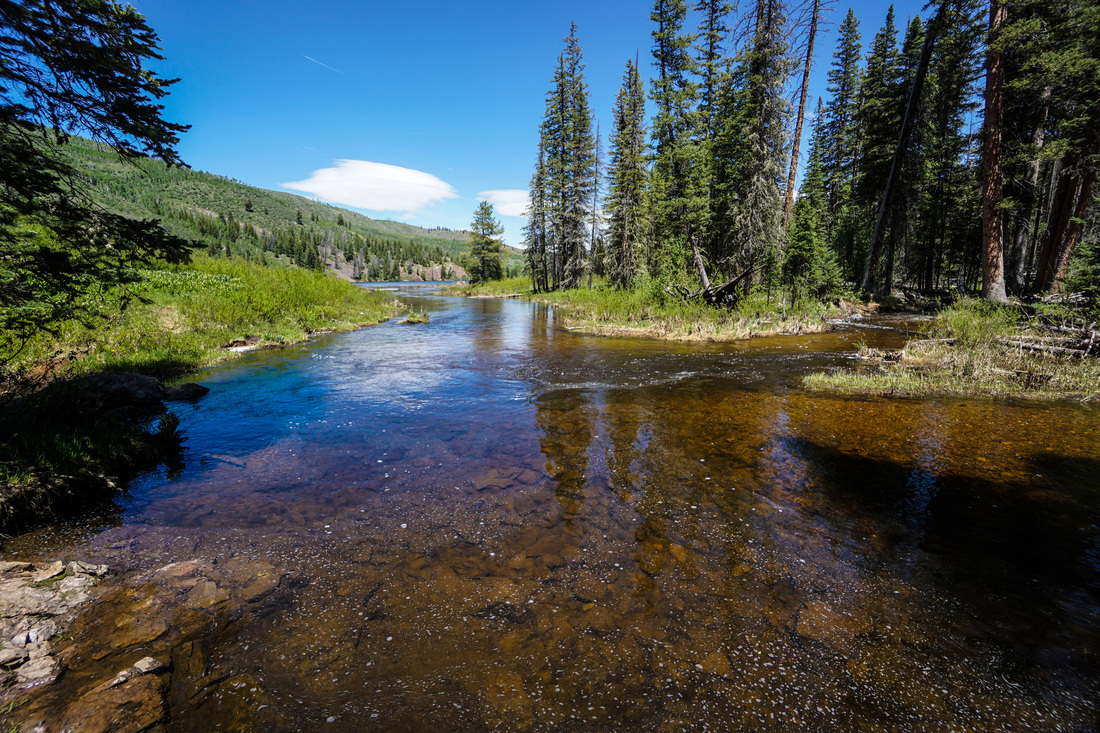
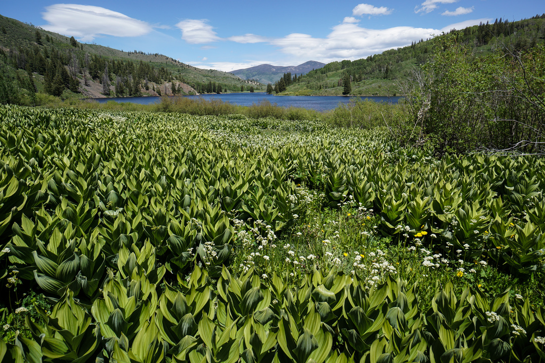
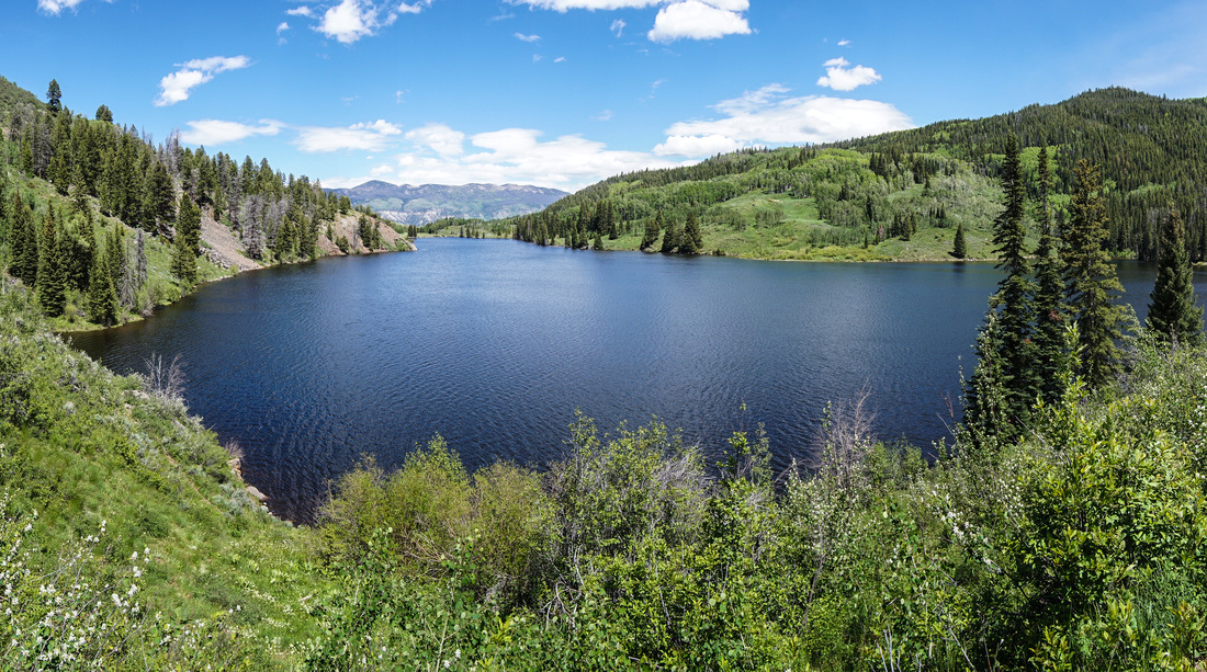
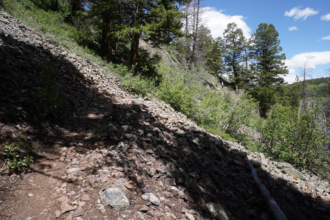
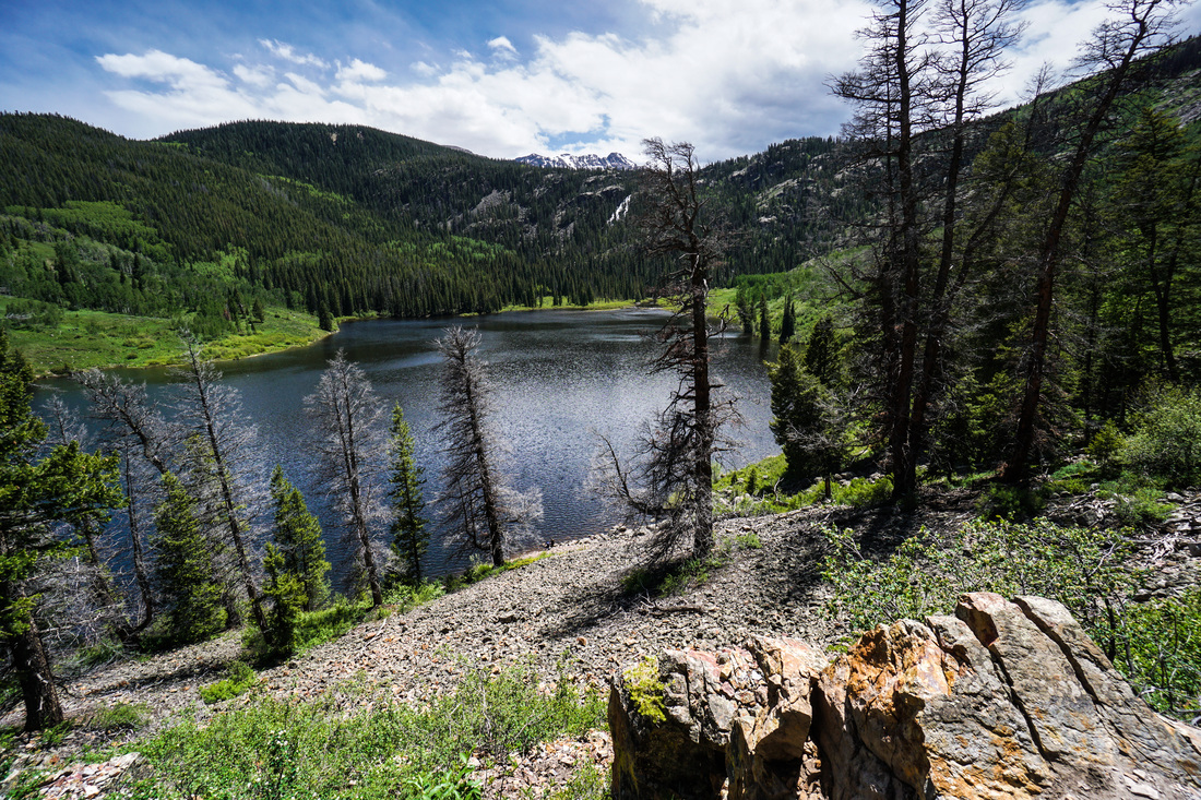
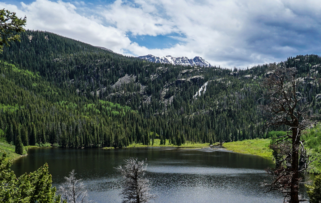
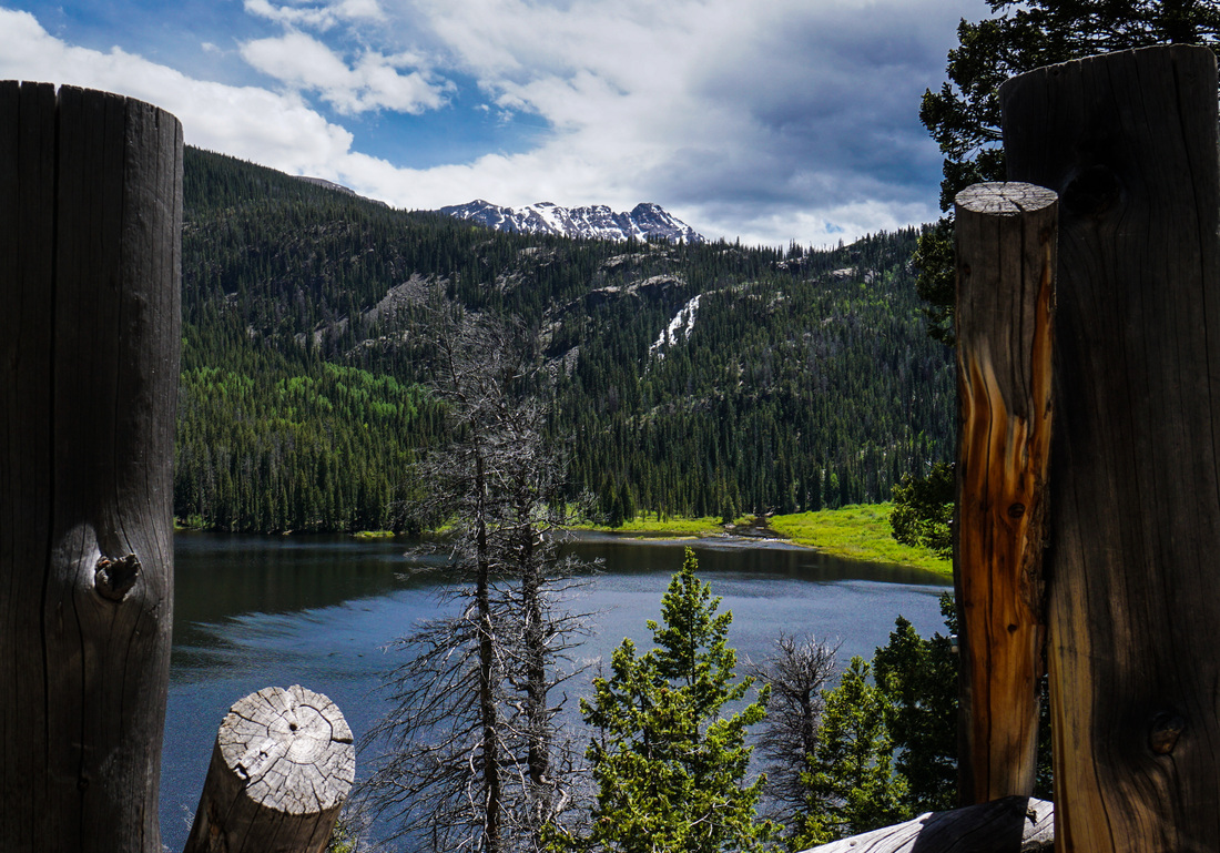
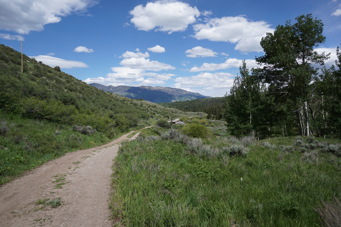
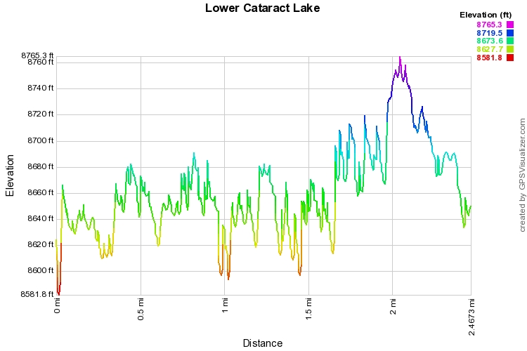
The hike around Lower Cataract Lake is short but has a lot to offer as it sits at the northern base of the iconic Gore Mountains. The views of the lake are wonderful as are the aspen groves and pine forest. At the far end of the lake is Cataract Falls a GIANT cascading waterfall that can be seen from most of the hike. Also at the far end, just poking up above the trees is the Eagles Nest, which gives this Wilderness Area it's name. I prefer to hike this clockwise, starting by heading down to the lake to the left of the outhouse, this way the best views are saved for the end of the hike. The trail is easy to follow along the lakeshore and crosses two footbridges. Shortly after the first, you'll pass into the Eagles Nest Wilderness Area. The second footbridge at the far end of the lake goes over the raging cascades and is extremely impressive. After the cascades the hike opens up to a boggy meadow with wonderful vegetation. From here you climb the only steep part of the hike. Once you reach the northern shore, the views will start to get more impressive with every step. The best views come at about the 2 mile mark where you look back to the far end of the lake and see the Falls with the Eagles Nest towering above, this will give you a real taste of the enormity of the Gore Mountains. From here descend through thick aspen groves to a service road and back to the parking lot. This hike provides real alpine adventure with just the minimum of effort. The hike is enjoyable for kids, my wife carried our 7 month old in a carrier and he was happy the whole time, but also exciting enough to keep adults happy as well. A terrific introduction to an inspiring mountain range. |
|