|
|
|
Directions: From I-25 in Castle Rock, head east on route 86, Founders Parkway. Follow Founders Parkway for about 4 miles, past the strip malls to the outskirts of town. Turn left (east) on Castle Oaks Drive and drive 2.8 miles. Turn right onto Pleasant View Drive and the trailhead is about 1 mile up the road.
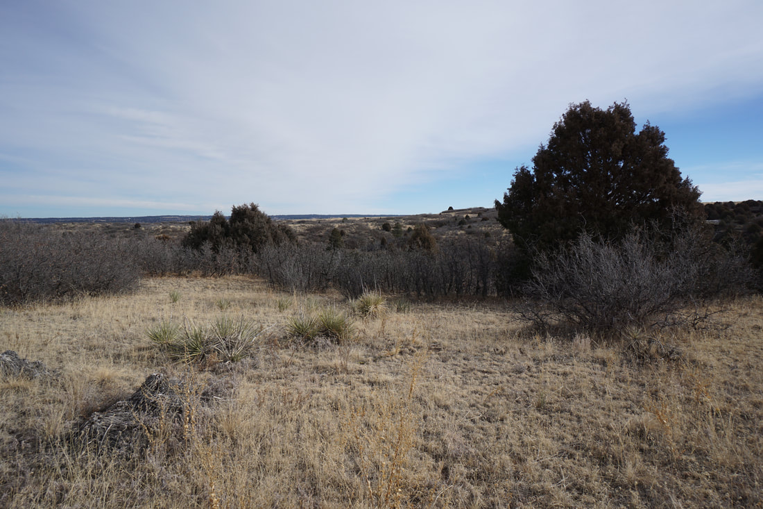
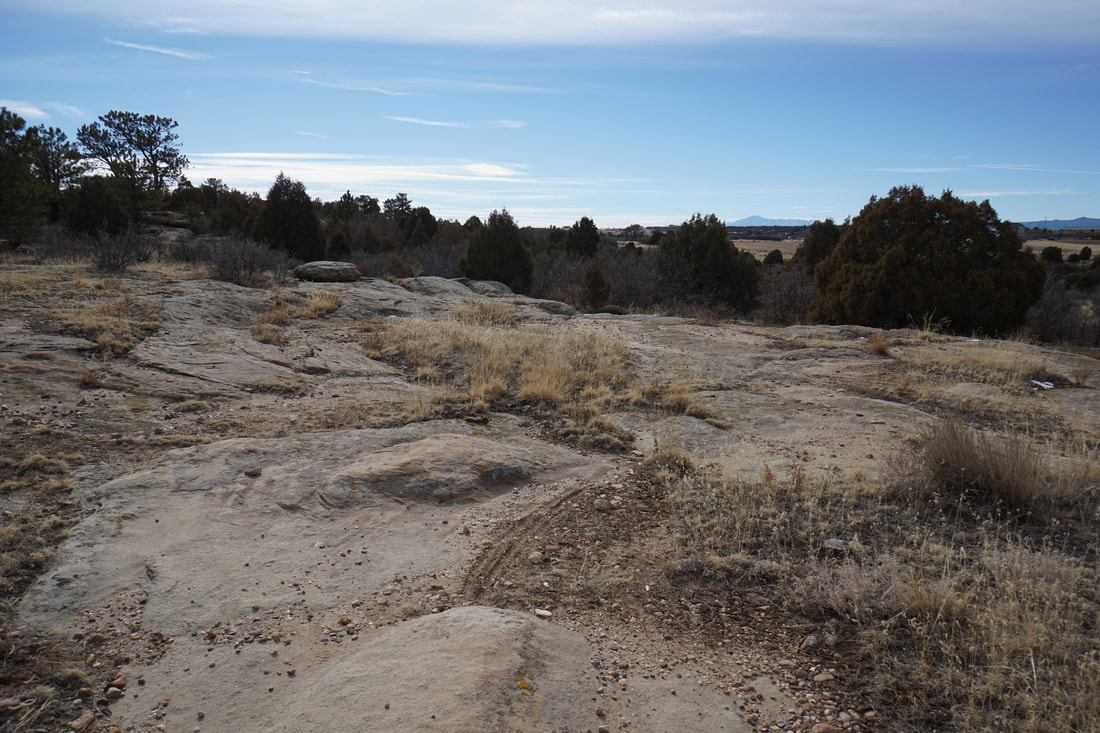
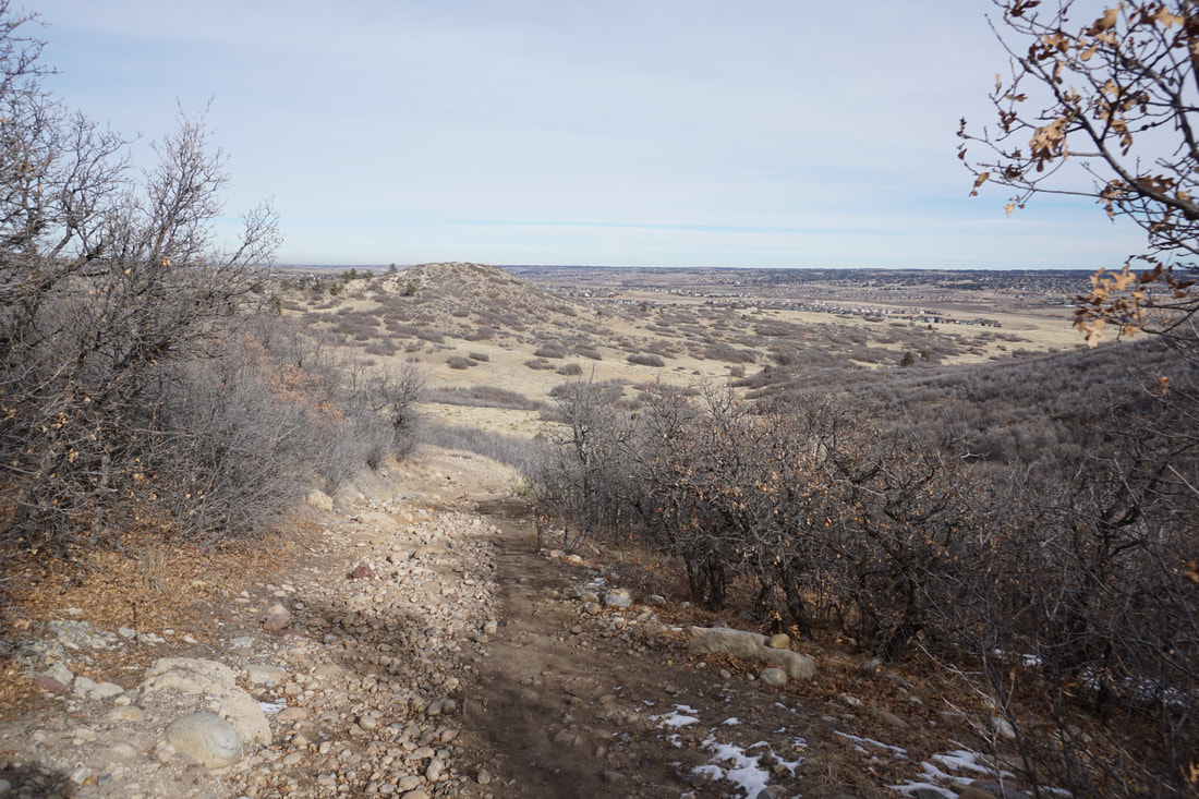
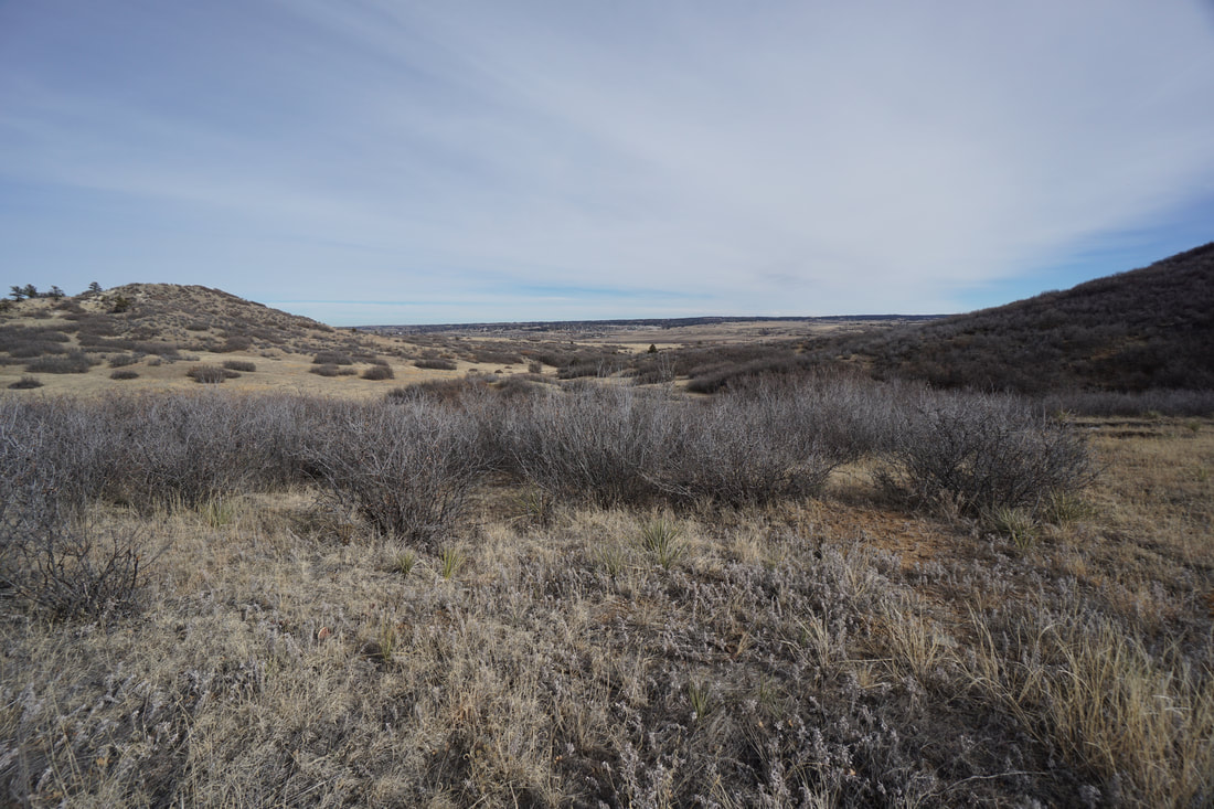
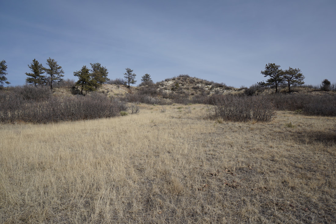
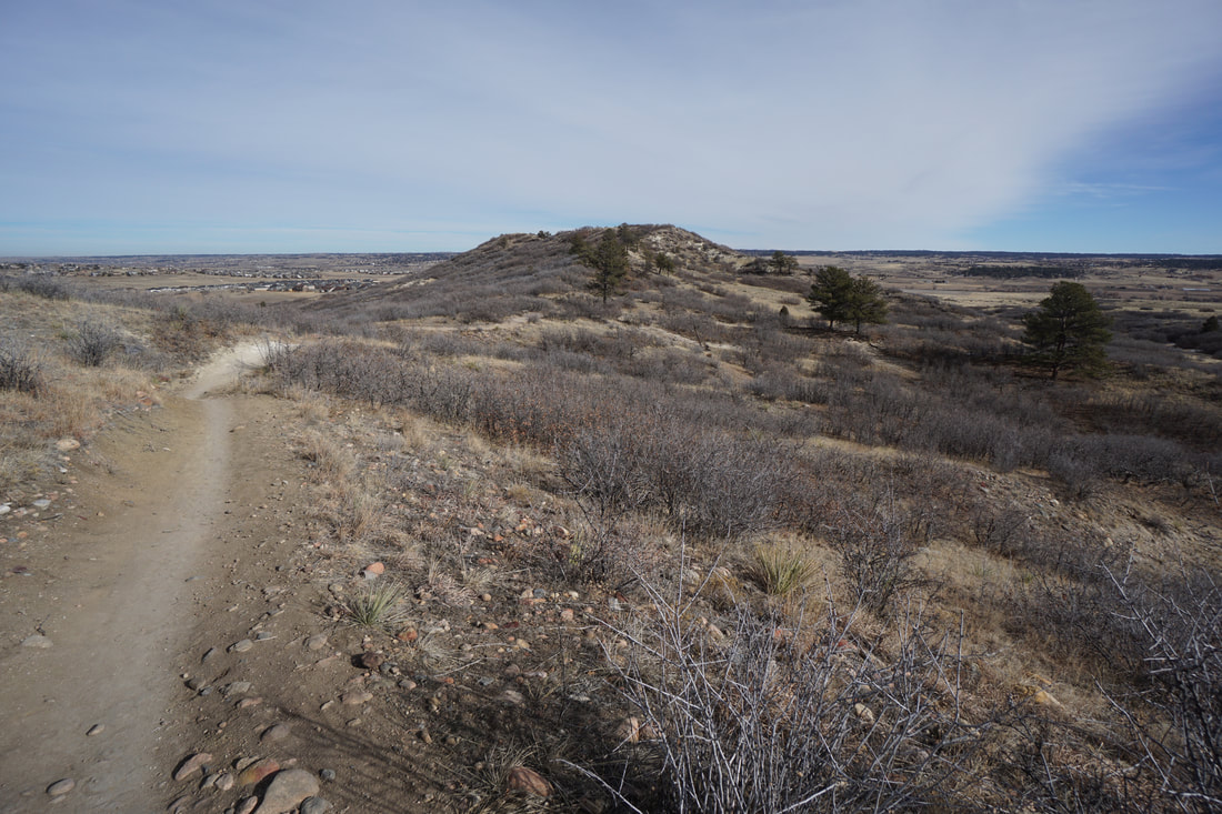
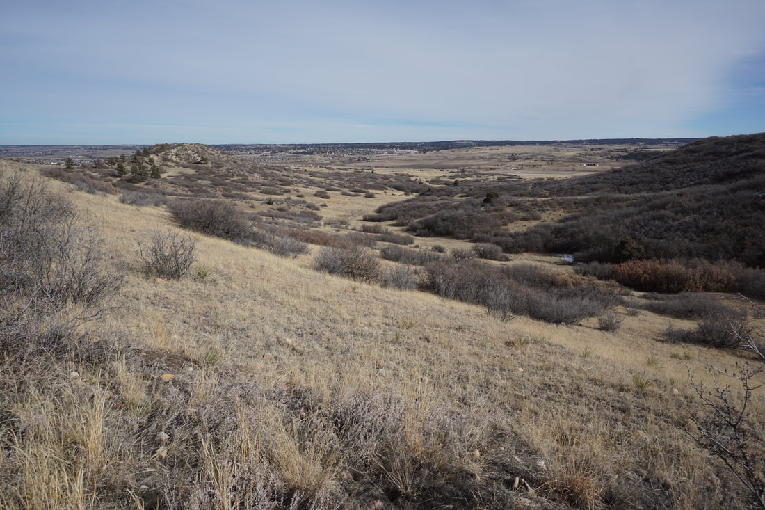
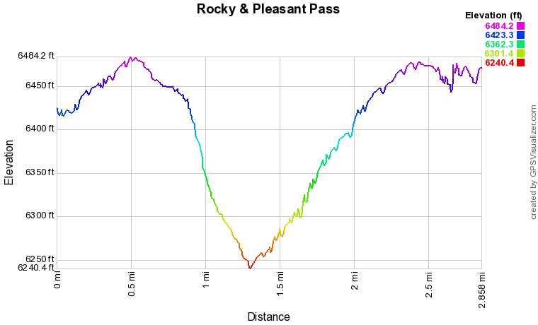
The Rocky and Pleasant Pass Loop is both rocky and pleasant... The hike explores the northern half of Hidden Mesa and drops to the valley floor before regaining the mesa top. Along the way views of the Front Range mountains, foothills, and communities keep you entertained. The hike is relatively easy making this a good one for families looking to spend a few hours exploring the mesas of Douglas County.
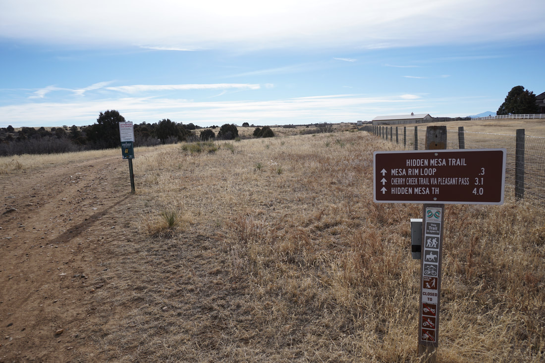
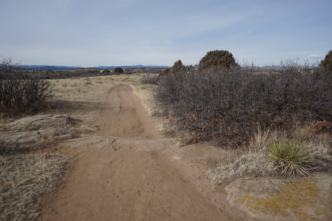
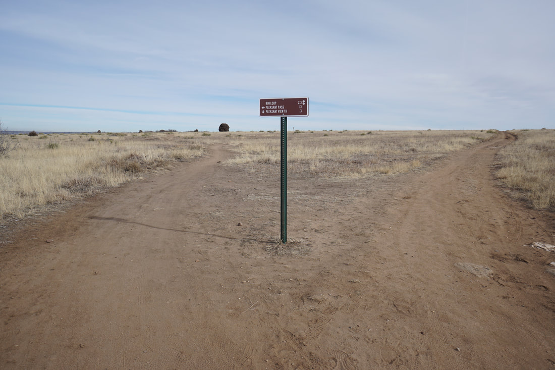
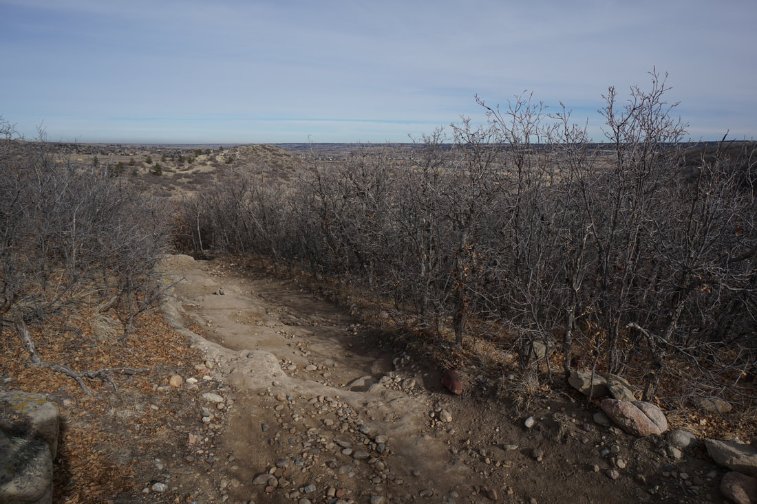
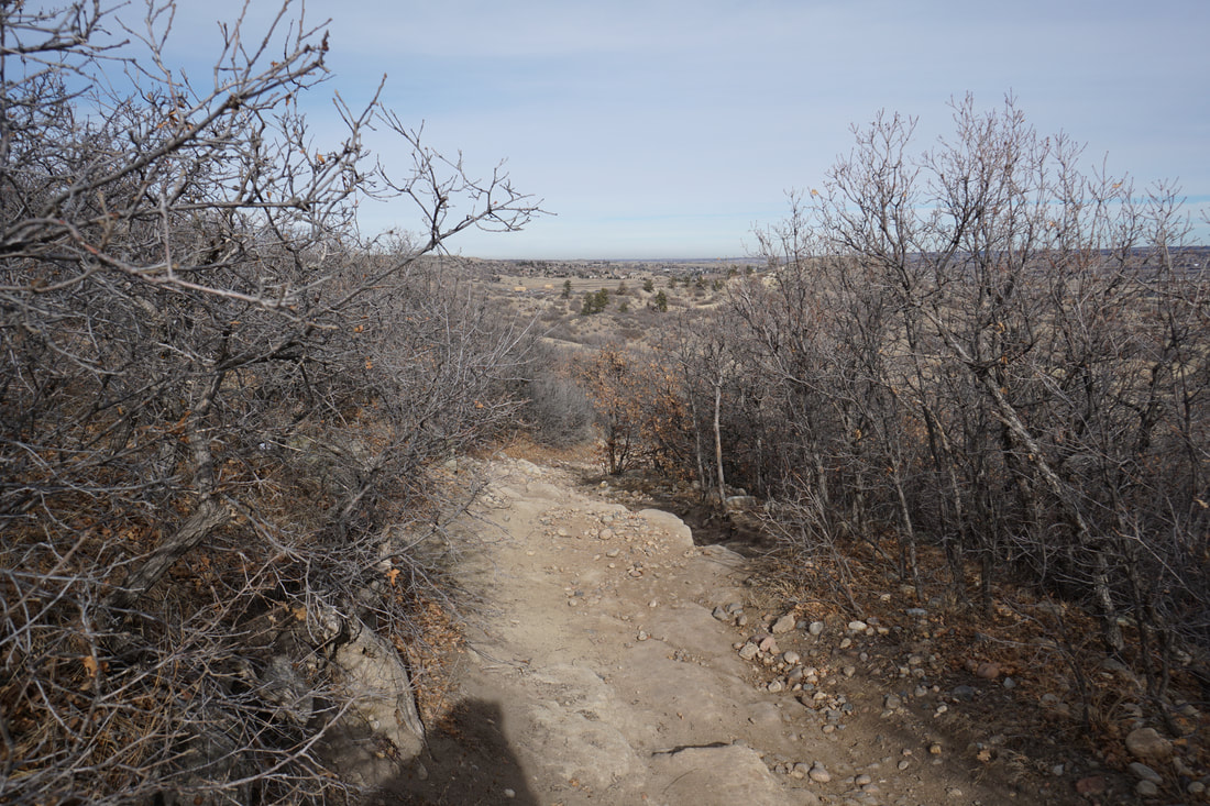
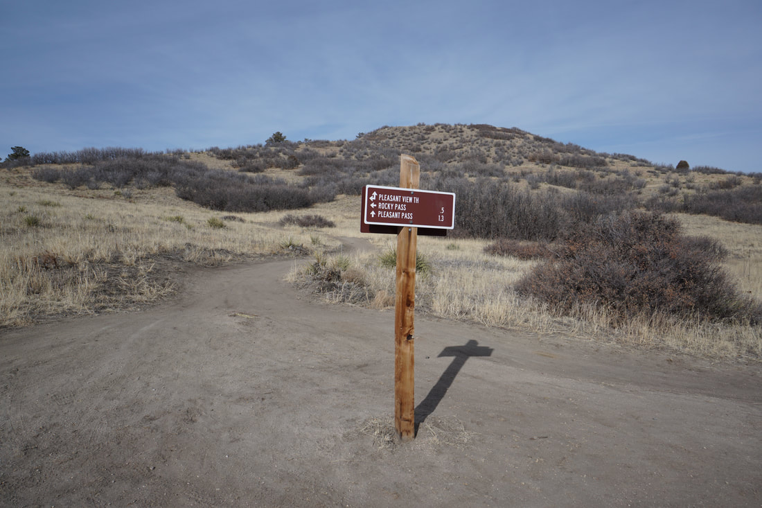
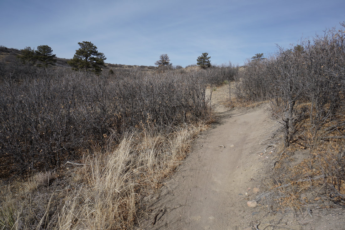
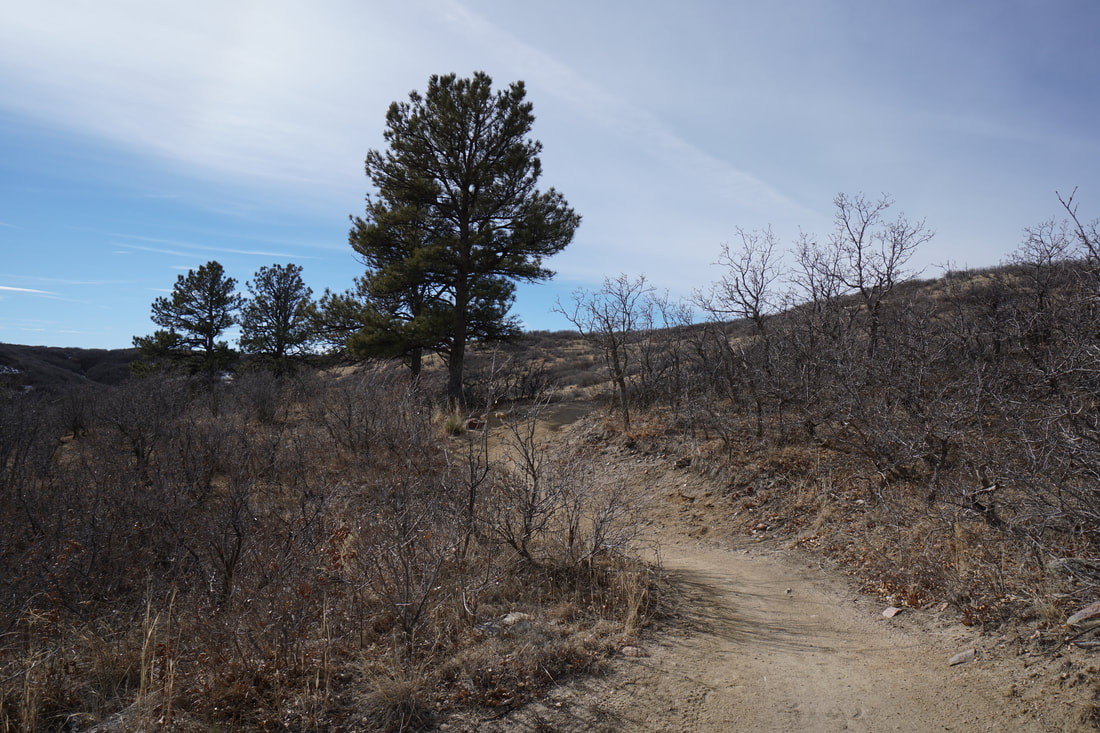
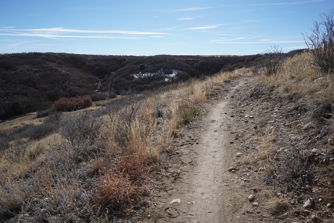
From the main parking area off of Pleasant View Drive, take the Hidden Mesa Trail following the signs for the Mesa Rim Loop. The first part of the hike travels across the mostly flat mesa top to a series of junctions. You see a trail sign near a bench, but about 50 yards down-trail there will be another sign, continue along the Hidden Mesa Trail to the second sign. The second sign is the junction for the Pleasant Valley Trail. Here you can either turn left for the Pleasant Valley Trail or continue to the next Junction. This description continues and returns to this point later. The next junction along the Hidden Mesa Trail is the Rocky Pass/Mesa Rim junction. Turn left for the Rocky Pass Trail. After a few minutes you'll arrive at Rocky Pass where the trail descends a rocky slope to the valley floor. From the pass you'll get some nice views of the surrounding mesas. Once you reach the valley floor, look for the junction with the Pleasant Pass Trail. Turn left and start working your way back up to the top of the mesa. This is one of the more scenic portions of this hike with great views as you regain the mesa. Before long you'll reach Pleasant Pass and the mesa top. Continue along flat terrain until you return to the Pleasant Pass Trail junction. Here you turn right and follow the Hidden Mesa Trail back to the trailhead. Hidden Mesa Open Space is a nice neighborhood open space with few crowds. This area tends to dry quickly and is therefore a good hiking option for winter or spring hikes without a ton of mud. |
|