GO HIKE COLORADO
Get in Touch:
  • HOME
  • ABOUT
  • HIKES BY REGION
    • DENVER AREA >
      • Denver Mountain Parks
      • Jefferson County Open Space
      • Lakewood Parks
      • Denver Area Greenways
    • BOULDER AREA
    • DOUGLAS COUNTY
    • FORT COLLINS AREA
    • COLORADO SPRINGS AREA
    • FRONT RANGE
    • TENMILE & MOSQUITO RANGES
    • GORE RANGE
    • SANGRE DE CRISTO MOUNTAINS
    • PARK RANGE
    • SAWATCH RANGE
    • ELK MOUNTAINS
    • SAN JUAN MOUNTAINS
    • THE FLAT TOPS
    • GRAND MESA
    • COLORADO PLATEAU
    • EASTERN PLAINS
  • NATIONAL PARK HIKES
    • BENT'S OLD FORT NATIONAL HISTORIC SITE
    • BLACK CANYON OF THE GUNNISON NATIONAL PARK
    • COLORADO NATIONAL MONUMENT
    • CURECANTI NATIONAL RECREATION AREA
    • DINOSAUR NATIONAL MONUMENT
    • FLORISSANT FOSSIL BEDS NATIONAL MONUMENT
    • MESA VERDE NATIONAL PARK
    • ROCKY MOUNTAIN NATIONAL PARK
    • GREAT SAND DUNES NATIONAL PARK
    • HOVENWEEP NATIONAL MONUMENT
    • SAND CREEK MASSACRE NATIONAL HISTORIC SITE
    • YUCCA HOUSE NATIONAL MONUMENT
  • HIKES BY CATEGORY
    • HIKES TO ALPINE LAKES
    • HIKES TO PEAKS & PASSES
    • HIKES THROUGH CANYONS
    • HIKES WITH FALL COLORS
    • HIKES ALONG THE I-70 CORRIDOR
    • HIKES ON PAVED TRAILS
    • HIKES FOR KIDS
    • HIKES TO WATERFALLS
    • HIKES ALONG RIVERS
    • HIKES WITH ROCK FORMATIONS
    • HIKES WITH WILDFLOWERS
    • WINTER HIKES
  • NEWS
  • WEBCAMS
  • $UPPORT GHC
  • INTERACTIVE MAP

Plum Creek Nature Area
Chatfield State Park

Date Hiked: April 18, 2014

​Distance: 2.1 mi (RT)

Elevation Gain: 100ft
Elevation Min/Max: 5,451 > 5,504ft
Managing Agency: Colorado Parks & Wildlife
Fee: Yes

Chatfield State Park Trail Map
Picture

Picture
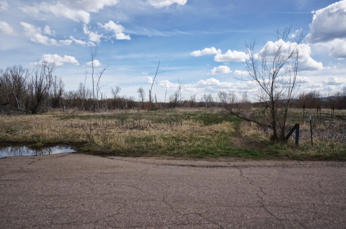
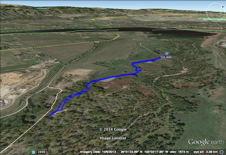
Directions:  From the South, enter the park from Roxborough Park Road.  Once you pass the entrance station, bear right at the fork and make your first right.  Follow the road back south until you see this:


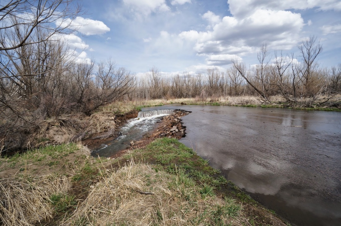
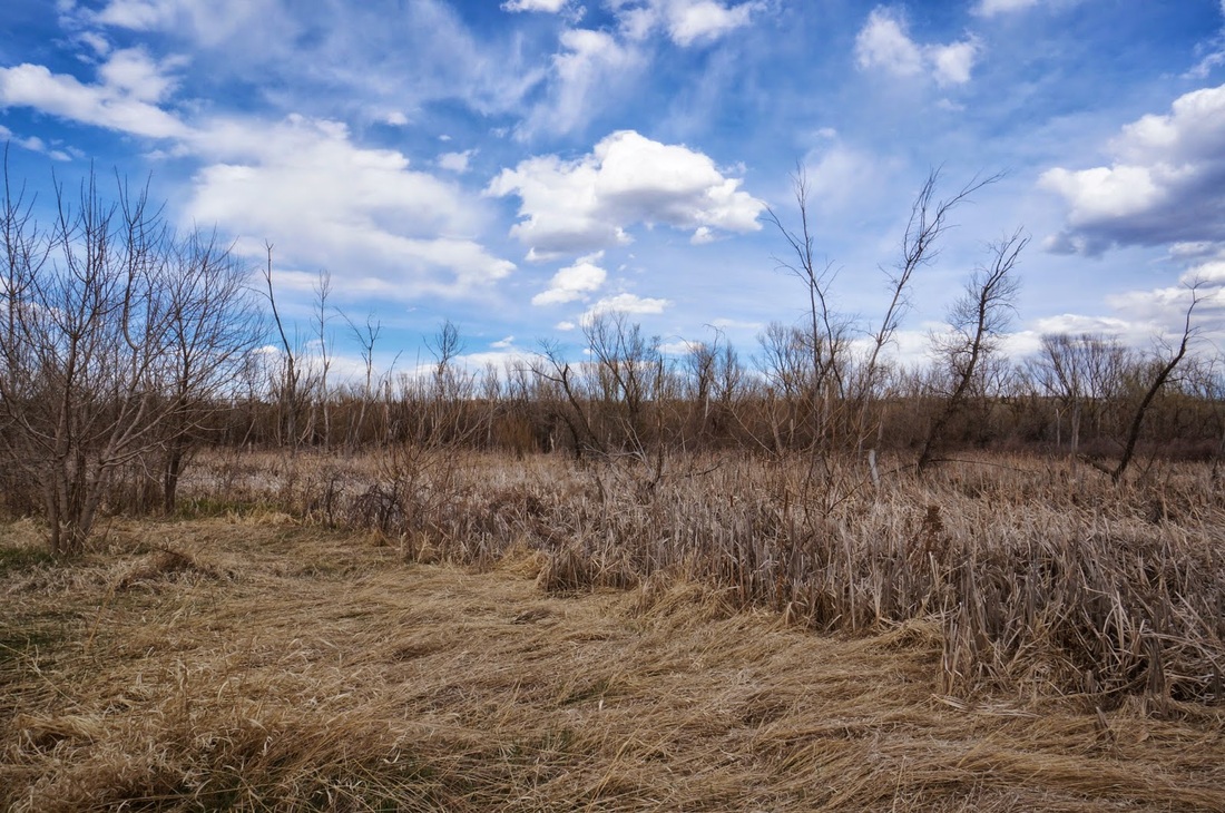
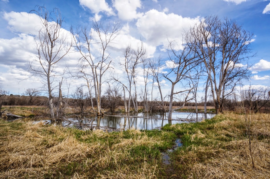
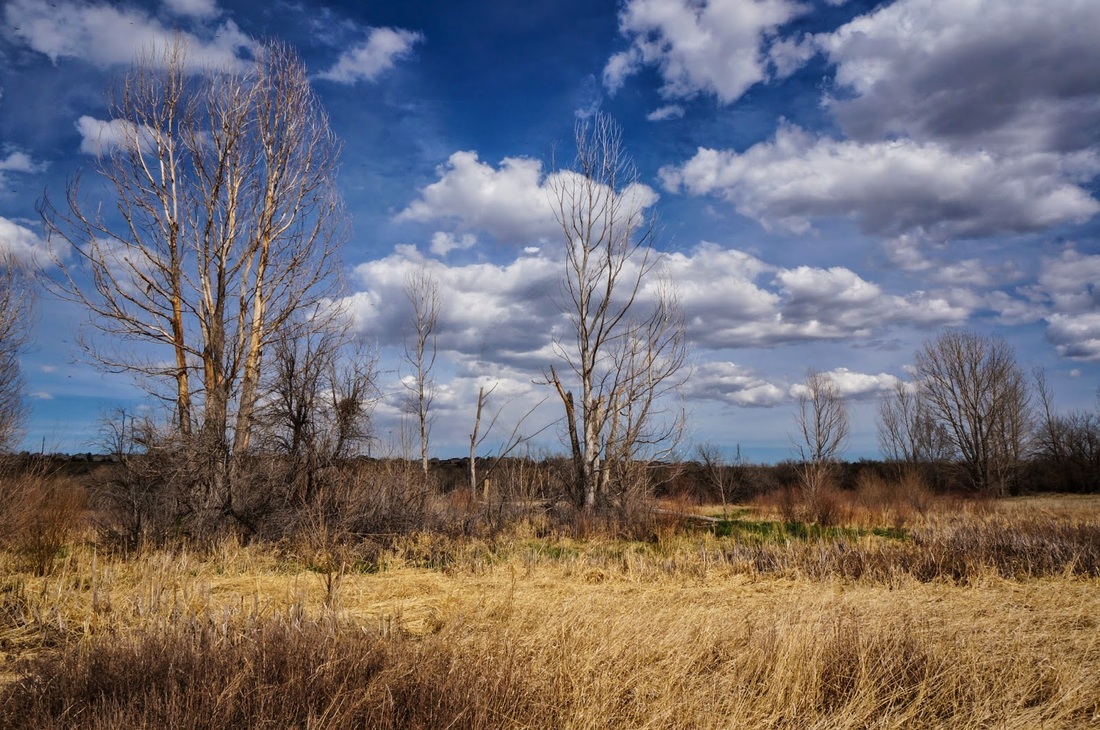
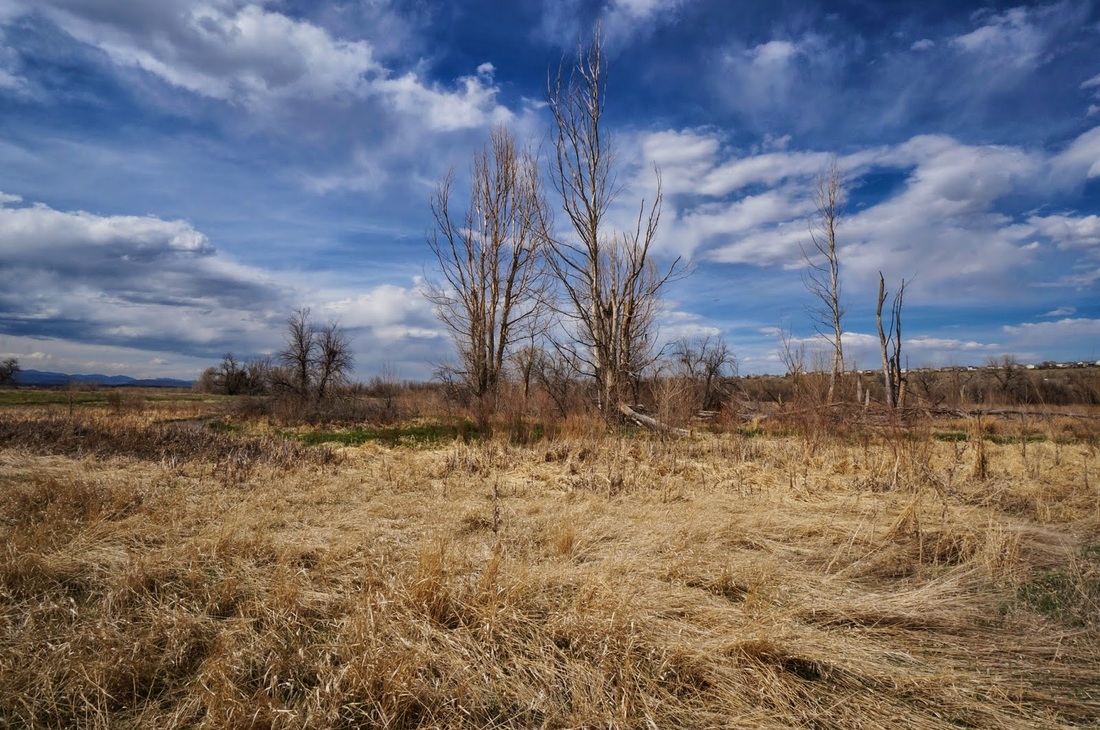
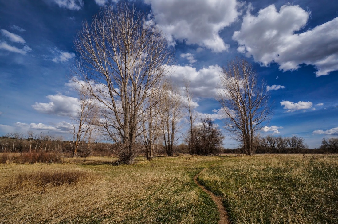
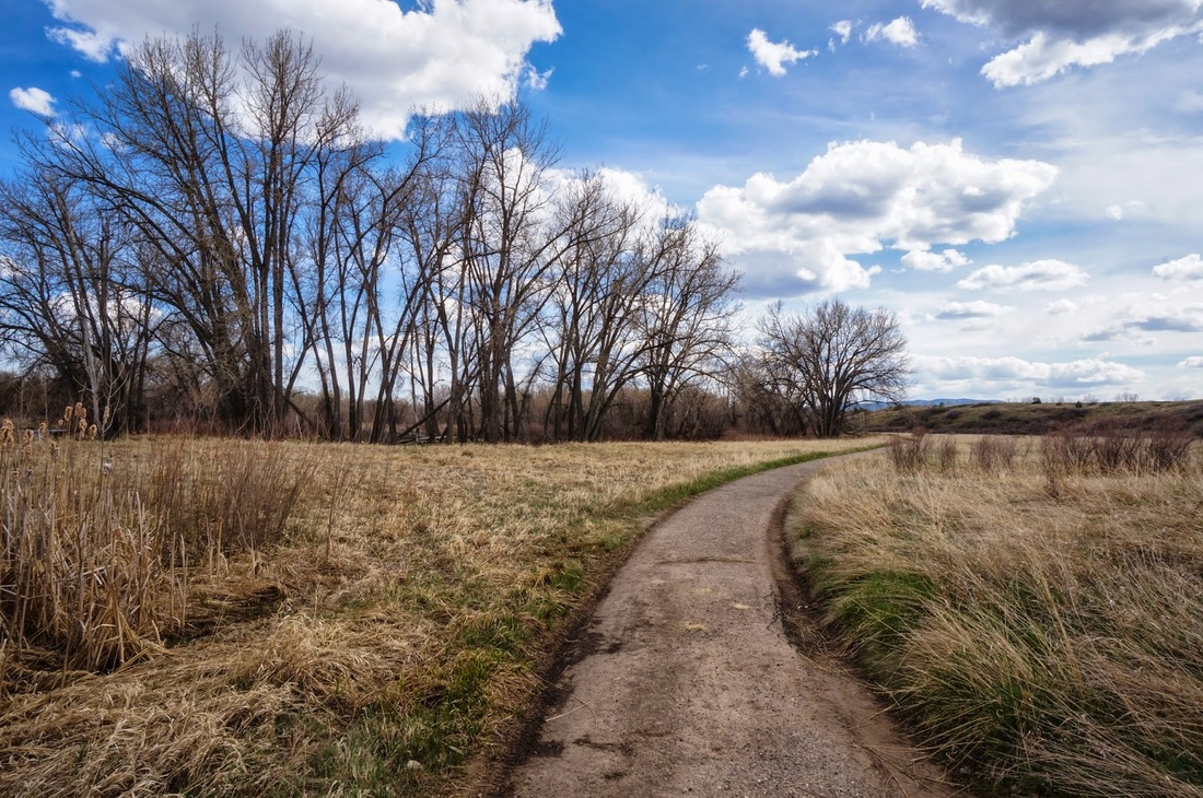
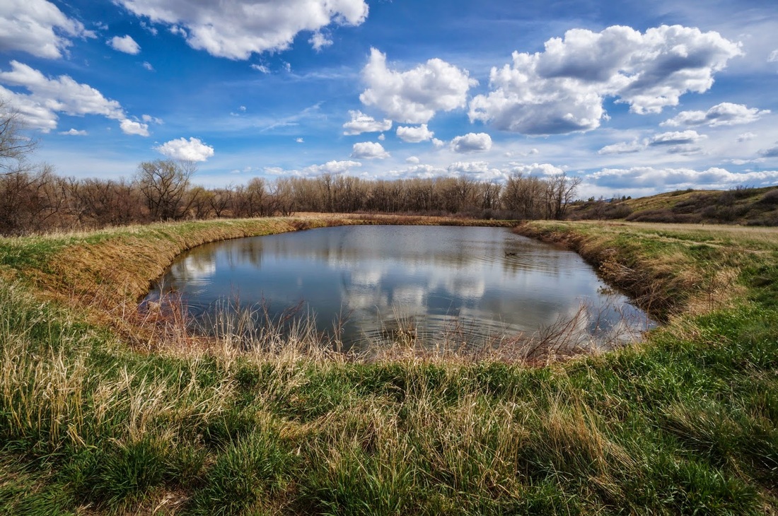
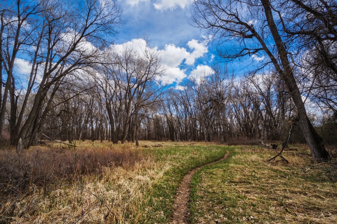
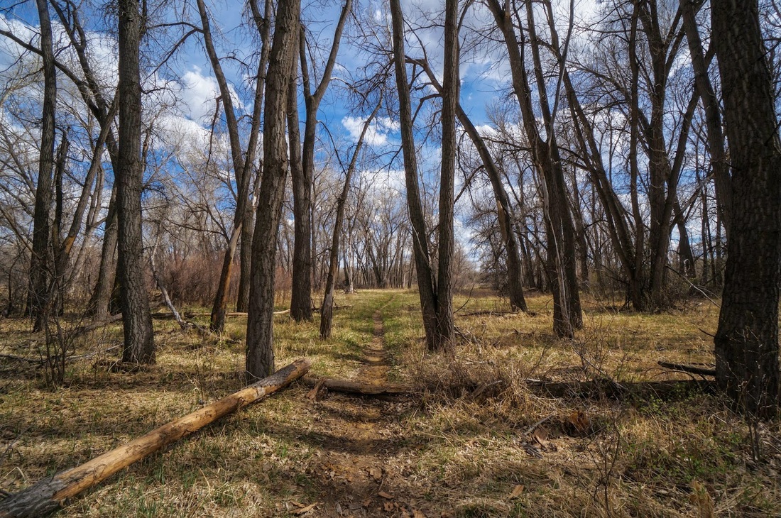
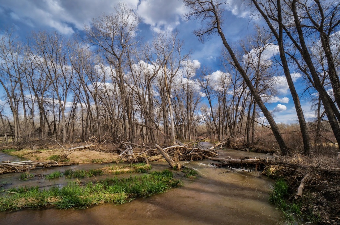
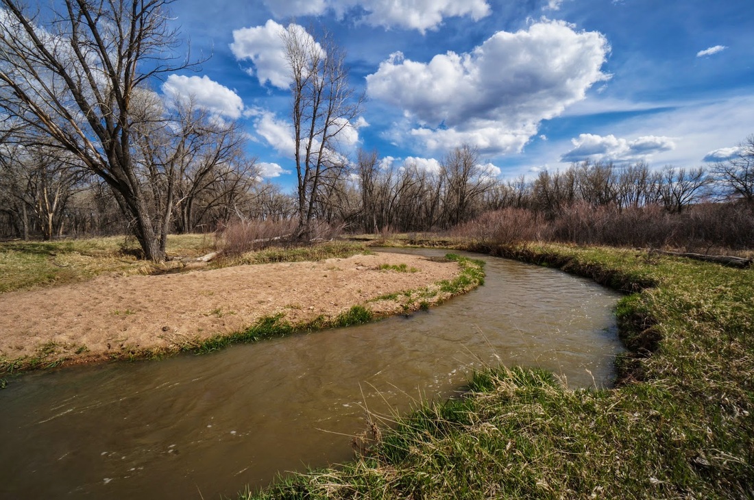
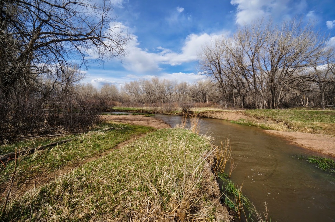
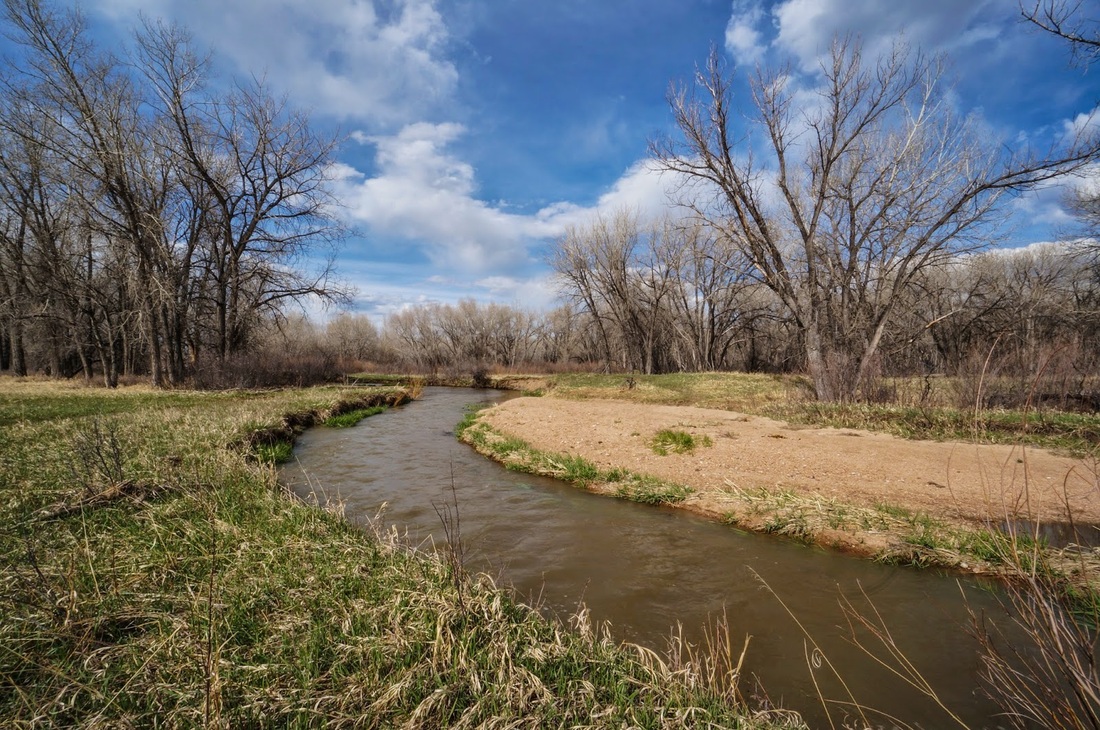
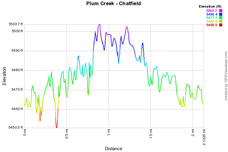
The road was damaged during the 2013 floods.  Park just before the closure but be very careful of where you park.  To the south of the closure, you'll see a narrow dirt path, this is your trailhead.

The real Plum Creek Nature Trail is the paved trail that starts a little further back along this road.  The trail described here is an unofficial, but clear and easy to follow, natural surface trail better for hiking.  Follow this path south along Plum Creek past cottonwoods and marshlands.  Soon you will intersect the paved trail, look for a sign saying "path dead ends."  Continue south past this sign on the paved trail until you reach Turtle Pond, you'll know it.  The official trail ends here. 

The unofficial trail continues for a long way past this point and is actually the more scenic trail.  The trail goes through the woods and at the 1 mile mark reaches an oxbow of Plum Creek with a sandy bar.  This makes for a nice destination, or you can explore further. 

Chatfield has an unofficial trail system that allows you to explore a great deal of the natural area.  There are no maps or trail markers so make sure you keep track of where you are.  These trails provide for a more wilderness-like experience and can be connected to form long hikes or good trail runs.

© Go Hike Colorado, 2020.  All Rights Reserved. 
Use of photographs without prior authorization is
​strictly prohibited.


Contact us at:
[email protected]
Legal Disclaimer - Information provided on this site is based upon our own observations, always double check information with the appropriate land management agency before heading into the backcountry.  Backcountry travel is inherently dangerous, please take all proper precautions.  Go Hike Colorado is not responsible for injury or incident.