|
From Castle Rock (Wolfensberger Exit off of I-25), take Wilcox south to 5th Street. Head East on 5th and turn right (south) on S. Gilbert Street. This becomes Lake Gulch Road. Follow Lake Gulch Road until it connects to Hwy 83. Take Hwy 83 South and turn right (West) on Jones Road. The trailhead and parking area will be off to the right.
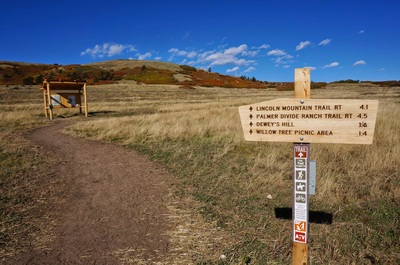
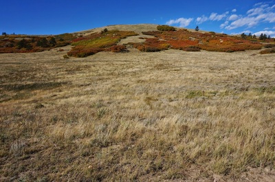
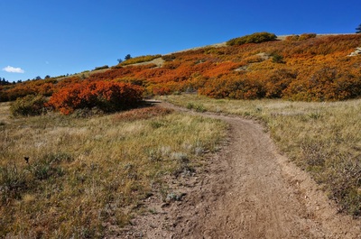
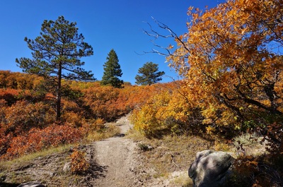
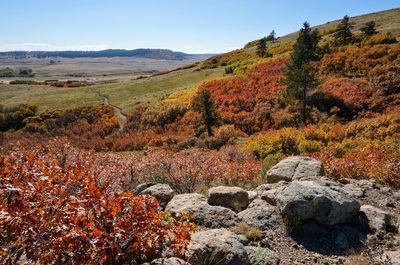
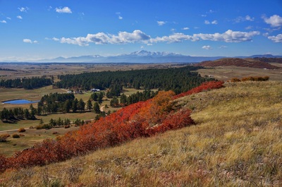
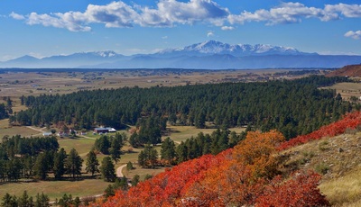
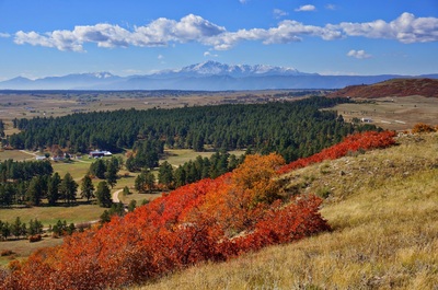
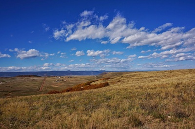
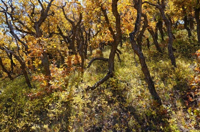
This is Douglas County's newest Open Space Park. The Lincoln Mountain Trail and Loop makes for a nice and easy hike through scrub bush to the top of a small mesa. The views of Pike's Peak from the top are phenomenal. From the parking lot, follow the trail and make a left at the trail junction for Lincoln Mountain Trail. From here the trail rolls and switchbacks through the high plains bush for about 1.3 miles. Once on top of the mesa, go left or right to follow the loop trail, the views of Pikes are to the left. While I'm sure this park is nice in any season, it was especially beautiful in the fall when the vegetation took on a verdant red color. Not many people turn to the plains for fall color, but if you're getting tired of the Aspens (I know, not possible) then check out the plains areas for reds, orange, and golds. |
- HOME
- ABOUT
-
HIKES BY REGION
-
NATIONAL PARK HIKES
- BENT'S OLD FORT NATIONAL HISTORIC SITE
- BLACK CANYON OF THE GUNNISON NATIONAL PARK
- COLORADO NATIONAL MONUMENT
- CURECANTI NATIONAL RECREATION AREA
- DINOSAUR NATIONAL MONUMENT
- FLORISSANT FOSSIL BEDS NATIONAL MONUMENT
- MESA VERDE NATIONAL PARK
- ROCKY MOUNTAIN NATIONAL PARK
- GREAT SAND DUNES NATIONAL PARK
- HOVENWEEP NATIONAL MONUMENT
- SAND CREEK MASSACRE NATIONAL HISTORIC SITE
- YUCCA HOUSE NATIONAL MONUMENT
- HIKES BY CATEGORY
- NEWS
- WEBCAMS
- $UPPORT GHC
- INTERACTIVE MAP
Lincoln Mountain Trail
Lincoln Mountain Open Space
Date Hiked: October 13, 2013
Distance: 3.8 mi (RT)
Elevation Gain: 530ft
Max/Min Elevation: 7,020 > 7,430ft
Managing Agency: Douglas County Open Space
Fee: None


